All posts by Bob

Stockley Open Space Trail, Kelowna

This hike is located in the Black Mountain neighbourhood, Kelowna, about 10 km east of Okanagan Lake.

Getting There

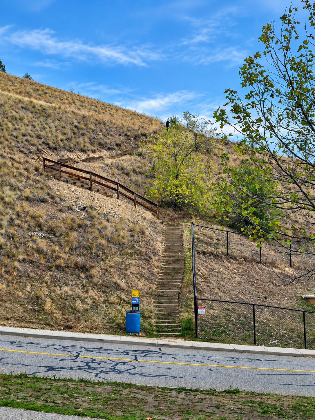
The trailhead is here: Stockley Open Space Trailhead. There’s no parking on the street right at the trailhead, so I parked in a nearby residential neighbourhood, here: parking location. Please park considerately and follow any posted signs.

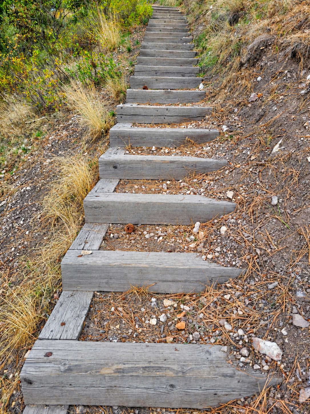
Heads up: if you park in the residential neighbourhood, you get the bonus of about 100 extra steps down to the trail, and back up again at the end.

Trail Stats

These stats are from my route, starting at the residential parking spot above.

  • Distance: 1.85 km (return)
  • Time: 36 minutes
  • Low point: 584 m
  • High point: 716 m
  • Elevation gain: 132 m
  • Cumulative elevation gain: approximately 235 m

The Trail

This is a short trail, with brief stops at the top taking only 36 minutes in total. Despite its short length, there are some beautiful 360-degree views at the top. I imagine it would be a particularly nice spot to catch a sunset.

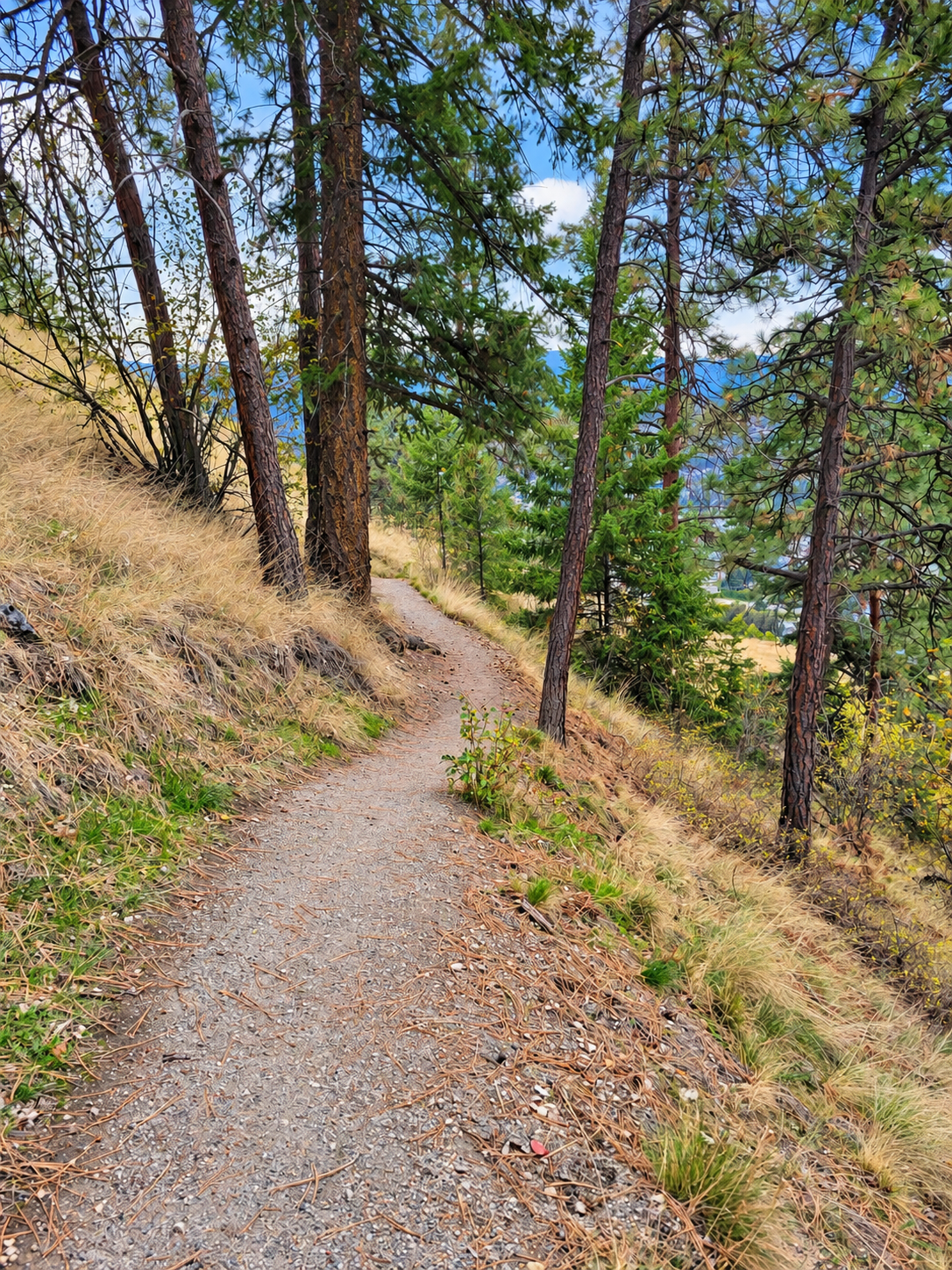
Many ponderosa pines grow on the hill, indicative of the Ponderosa Pine (PP) biogeoclimatic zone.

Photos
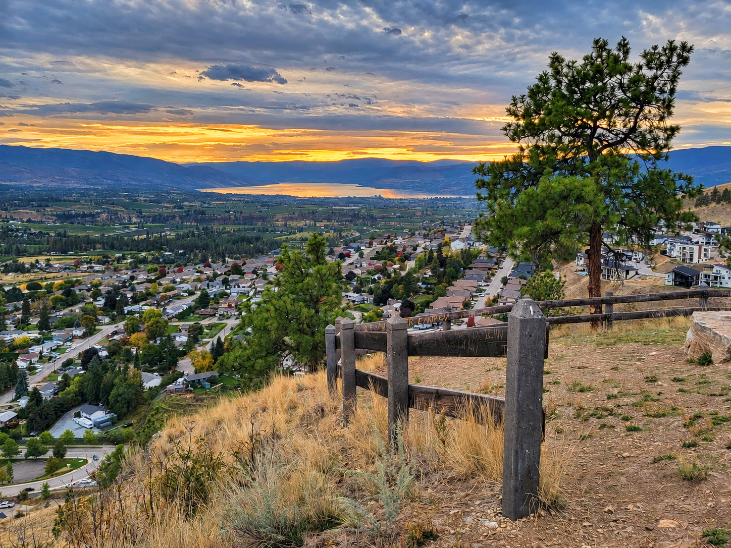
View from the top of Stockley Open Space Trail
The view from the top
Start of the Stockley Open Space Trail
The start of the trail
The Stockley Open Space Trail
On the trail
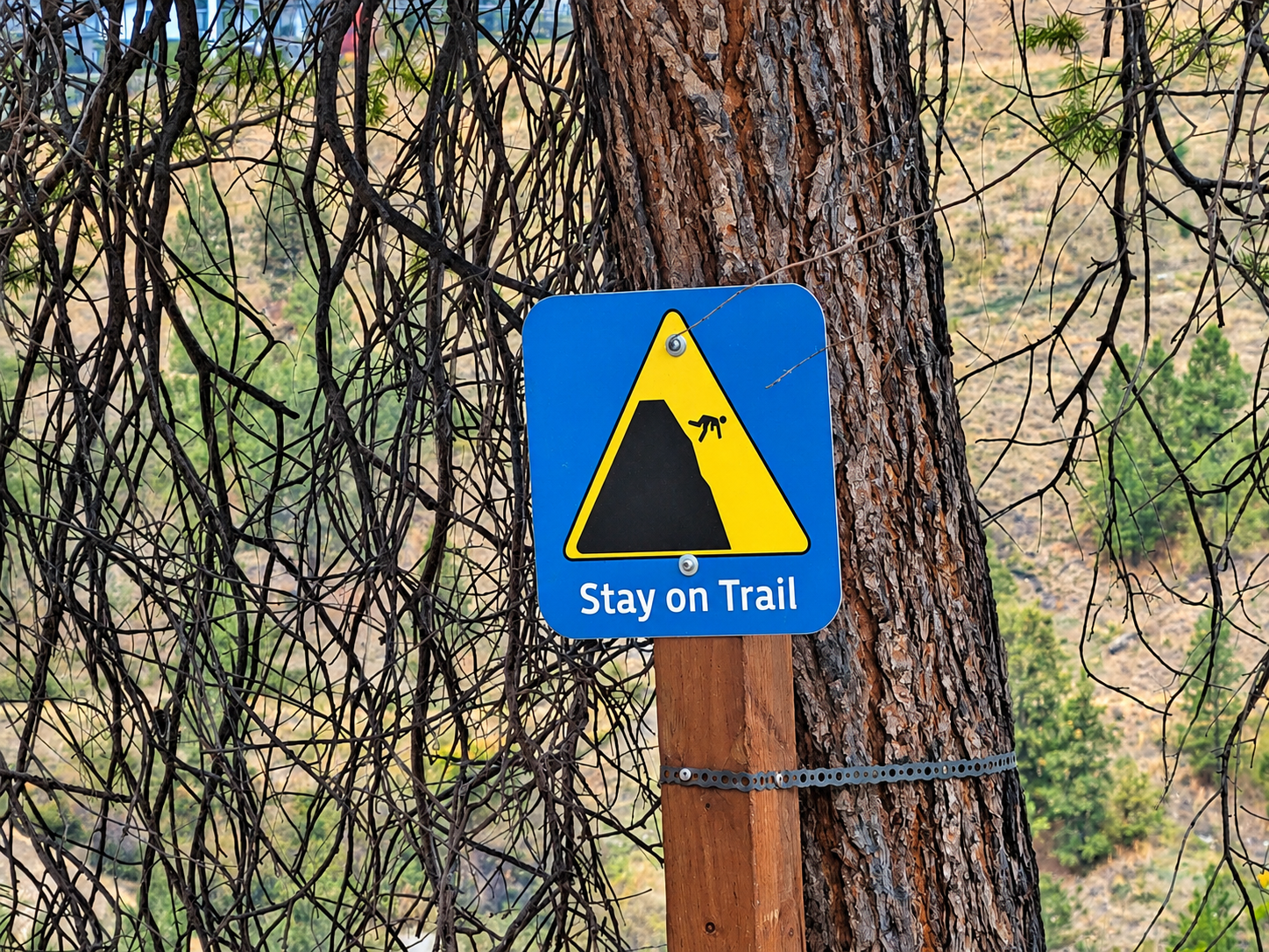
Stay on trail sign
A stay-on-trail sign
Steps on the trail
Steps along the way
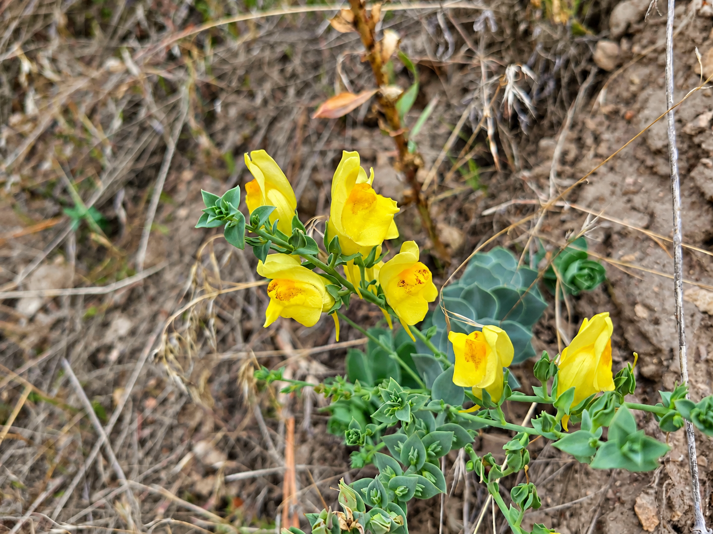
Dalmatian toadflax flower

Sasamat Lake

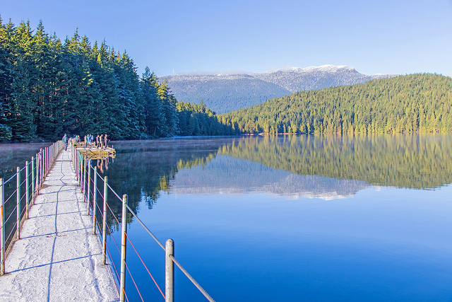
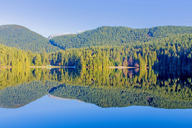
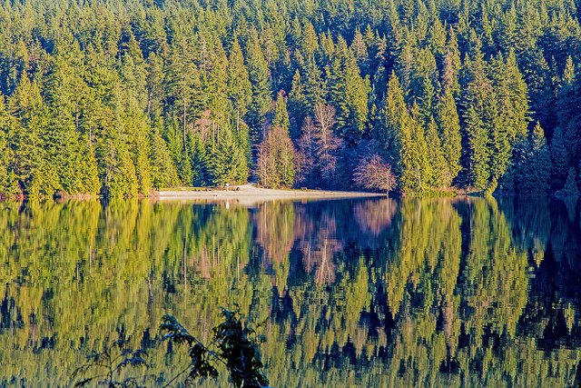
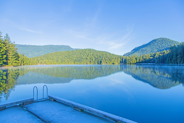
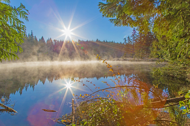
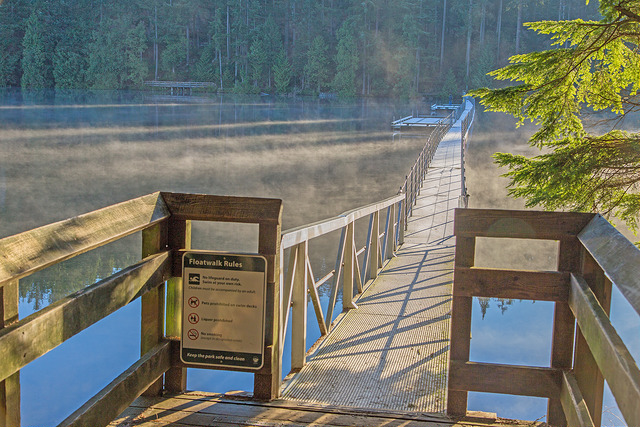
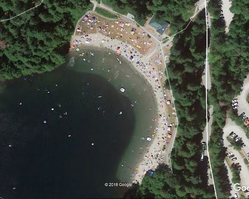
Sasamat Lake is in Belcarra Regional Park, near Anmore. This is one of the warmest lakes in Metro Vancouver! There is a nice, easy trail around the lake, with minimal elevation gain. This place can get very crowded in the summer because it has two great sandy beaches (White Pine Beach). There is a very sturdy floating bridge across the lake, with two wharves for fishing or jumping off. The lake has an area of about 45 ha (111 acres) and a perimeter of 3.2 km.

Trail Stats

  • Distance: 3 km
  • Time: variable
  • Low point: 51 m
  • High point: 74 m
  • Elevation gain: 23 m
  • Trailhead and parking: 49° 19′ 21.5″ N, 122° 53′ 03″ W (Google Maps and navigation)

Photos

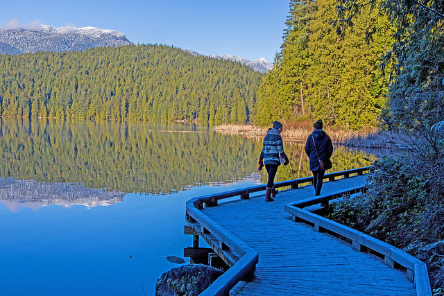
Walkway along Sasamat Lake
Walkway along the lake
Floating bridge at Sasamat Lake
Floating bridge
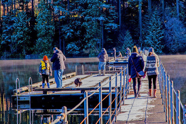
Wharves on the floating bridge
Glassy surface on Sasamat Lake
White Pine Beach
White Pine Beach
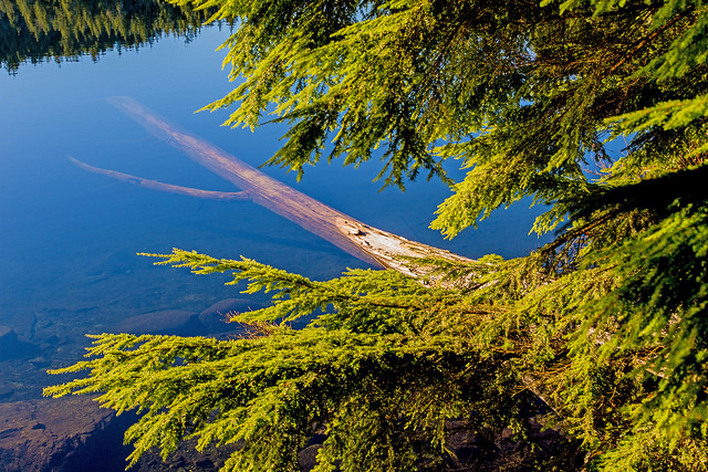
Tree in the water
Tree in the water
View from a wharf
View from a wharf
Sun shining over Sasamat Lake
The floating bridge at Sasamat Lake
White Pine Beach at Sasamat Lake