Semaphore Lakes is a beautiful subalpine hiking and camping area north of Pemberton, surrounded by lakes, streams, waterfalls, alpine meadows, and dramatic mountain scenery. The area has excellent views toward Face Mountain and Locomotive Mountain, with glacial features visible high above the valley.
The hike to the lakes themselves is relatively short for an alpine destination because much of the elevation is gained while driving up the Hurley River Forest Service Road. On my trip, however, we continued beyond the main camping area and spent several hours exploring the valley toward Locomotive Mountain, making this a considerably longer day than the standard Semaphore Lakes hike.
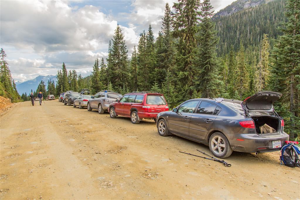
Semaphore Lakes is reached by Forest Service Roads, and conditions can vary considerably due to grading, potholes, washboard, loose rock, mud, snow, washouts, and industrial traffic. I reached the trailhead in a 2WD Mazda 3 when I completed this hike, but that should not be treated as current vehicle-access advice. Check current road conditions before leaving Pemberton and drive according to the conditions you encounter.
Getting There
The drive north from Pemberton eventually reaches the Hurley River Forest Service Road. The final portion of the drive is on gravel and can be rough. When I completed the hike, the last approximately 17 km included plenty of bumps, potholes, and loose rocks.
The Hurley is a mountain road rather than a normal paved highway, and conditions can change quickly. Snow closes the road to regular vehicle traffic during winter, and even during the hiking season it is worth checking conditions immediately before travelling.
📍 Trailhead and parking: Google Maps and navigation
For current Forest Service Road information, check the Province of BC’s Sea to Sky Forest Service Road conditions and the regularly updated Hurley River Road conditions.
Interesting Facts
- Semaphore Lakes consists of three small alpine lakes in a broad subalpine basin north of Pemberton.
- The relatively short hike into the basin is possible because the Hurley River Forest Service Road gains much of the elevation before you even reach the trailhead.
- Locomotive Mountain towers above the valley and can be reached by a much more demanding off-trail scramble. The route shown on this page does not include the summit route.
- Waterfalls and streams descend from the surrounding mountains, including water originating from the Train Glacier area.
- The standard hike to the lakes is substantially shorter than the GPS route shown on this page. My recording includes several kilometres of additional exploration beyond the lakes.
- Semaphore Lakes lies at subalpine elevations in the Mountain Hemlock biogeoclimatic zone. In southern coastal British Columbia, this zone generally occurs between about 900 m and 1,800 m elevation and is characterized by long, snowy winters and short, cool summers.
Trail Stats
These statistics are based on my GPS recording and include additional exploring beyond the main Semaphore Lakes camping area.
- Distance: approximately 8.8 km
- Recorded elapsed time: approximately 7 hours 34 minutes
- Low point: approximately 1,322 m
- High point: approximately 1,820 m
- Elevation gain: approximately 500 m
- Cumulative elevation gain: approximately 785 m
- Route: Out and back with additional valley exploration
For comparison, the regular hike to Semaphore Lakes without the additional exploring is roughly 6.8 km return with considerably less elevation gain. Most hikers visiting only the lakes will therefore not cover the full distance, elevation, or time shown above.
The Route
The interactive map below shows my actual GPS track from the hike, including our additional exploration through the valley toward Locomotive Mountain. It does not show a summit route to Locomotive Mountain. Use the layer control in the upper-right corner to switch between the regular map and satellite imagery.
The Hike to Semaphore Lakes
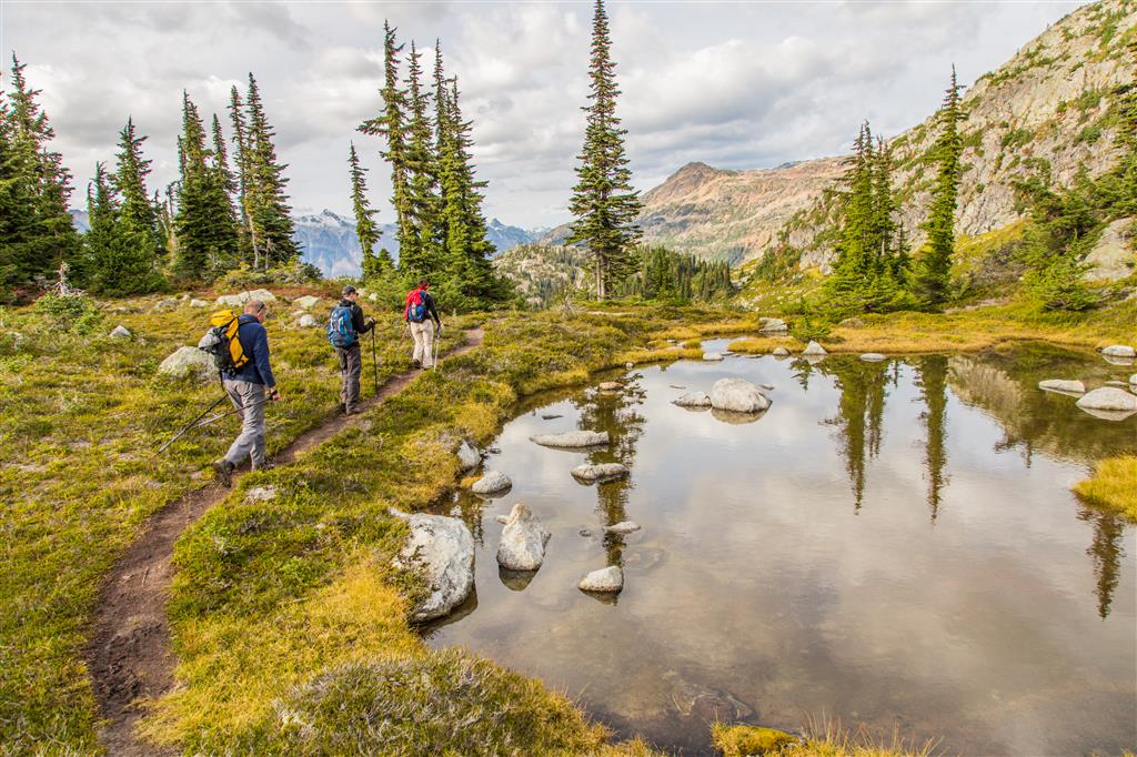
The trail climbs steadily through the forest before emerging into the subalpine. When I completed the hike, it took about one hour to reach the beginning of the main camping area, roughly 3 km from the trailhead.
The trail was very muddy during my visit, probably because of recent rain. Conditions can vary considerably depending on recent weather, snowmelt, and the time of year.
The Alpine Valley
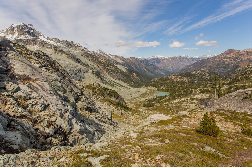
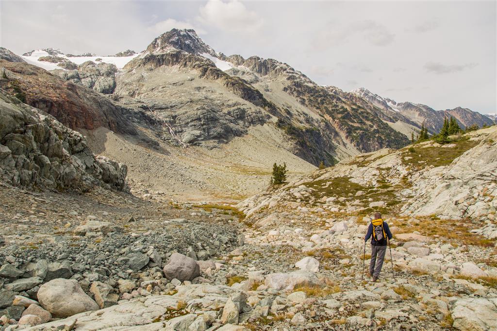
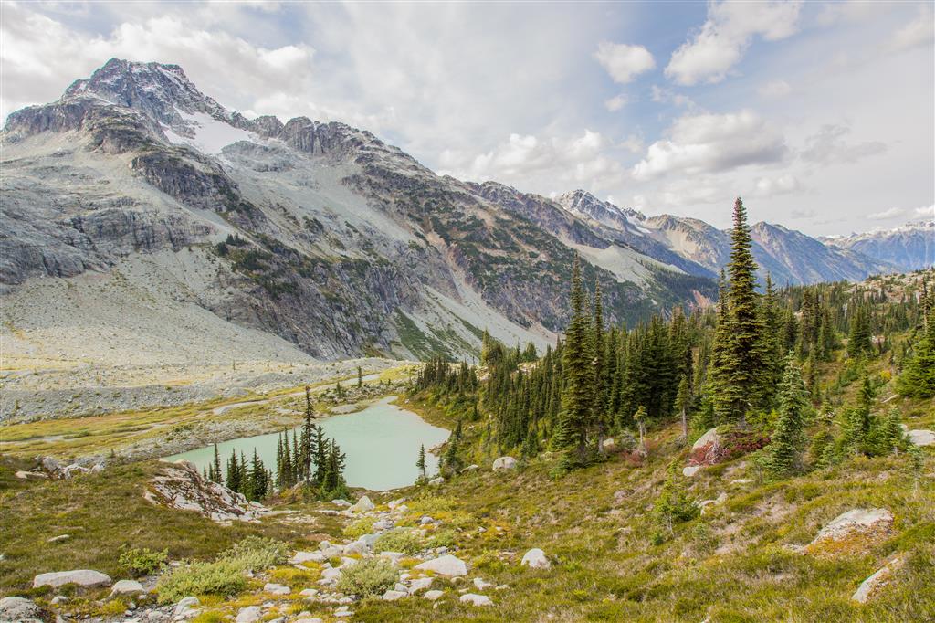
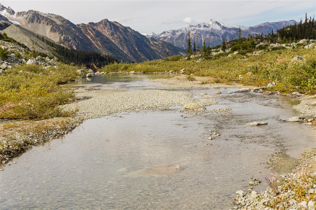
Once above the forest, the scenery opens dramatically. The broad subalpine valley is surrounded by mountains, streams, waterfalls, exposed rock, and the small lakes that give the area its name.
Camping at Semaphore Lakes
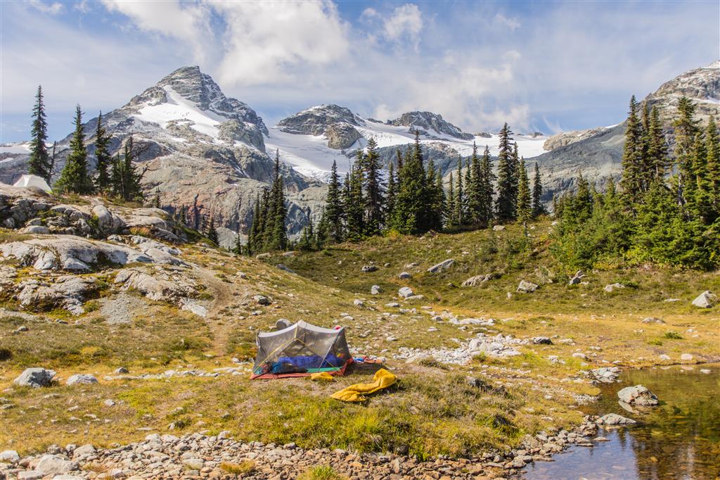
Semaphore Lakes is popular for backcountry camping because the hike into the basin is relatively short and there are numerous established-looking camping areas around the lakes.
Facilities are minimal, so campers should be prepared for a true backcountry experience. Pack out everything you bring in, keep food secure, and avoid creating new tent sites or damaging the fragile subalpine vegetation.
Streams, Glaciers, and Mountain Scenery
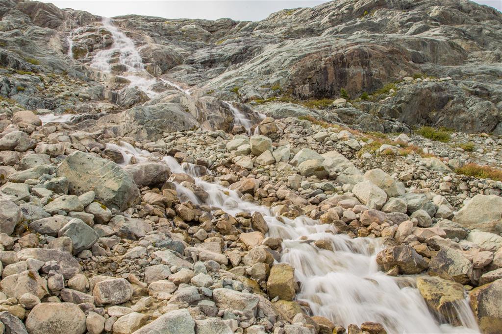
One of the highlights of the area is the amount of water flowing through the landscape. Small glacial and snowmelt-fed streams cross the valley, while waterfalls descend from the surrounding mountains.
Exploring Toward Locomotive Mountain
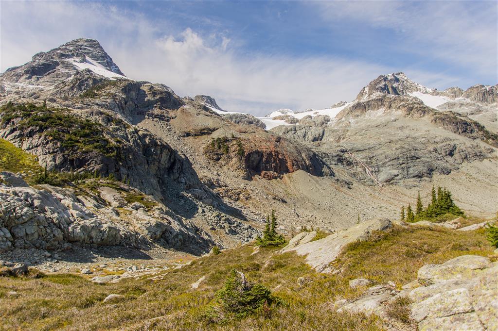
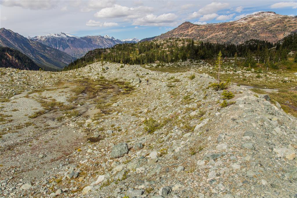
After reaching the lakes, our group continued farther into the valley toward Locomotive Mountain. Two members of the group continued toward the summit, while the rest of us explored the valley and moraine below.
The GPS map on this page shows the valley-exploration route, not the summit route. Beyond the established Semaphore Lakes trail, navigation becomes less obvious and the terrain becomes rougher.
More Photos
The Ten Essentials
Semaphore Lakes may have a relatively short approach to the lakes, but it is still a remote backcountry hike reached by a long Forest Service Road. If something goes wrong, help may be a considerable distance away.
For a hike like this, carry the Ten Essentials: navigation, headlamp, sun protection, first-aid supplies, knife or repair tools, fire-starting equipment where legally and safely appropriate, emergency shelter, extra food, extra water, and extra clothing.
Also leave a trip plan with someone you trust, including your destination, route, vehicle location, and expected return time. Carry a fully charged phone and backup power, but do not rely on cellular coverage. Download an offline map or GPS route before leaving Pemberton.
Leave No Trace
The Semaphore Lakes basin is a fragile subalpine environment. Stay on established routes where practical, camp on durable surfaces or previously used tent sites, pack out all garbage, avoid damaging vegetation, and do not leave food or other items behind.
Dispose of waste properly, minimize your impact around streams and lakes, and leave natural features as you find them. These practices help protect the area for both wildlife and future visitors.
Before You Go
Semaphore Lakes is a remote mountain destination. Weather can change quickly, snow may linger well into the hiking season, and the Forest Service Road approach can be considerably more difficult than the hike itself.
Check the road, weather, wildfire, and trail conditions before leaving home, start with enough daylight, and carry everything you would need if your day takes longer than expected.