The Heather Trail to First Brother is one of the best high-elevation hikes in E.C. Manning Provincial Park. The route begins near 2,000 m elevation and travels through forest, subalpine meadows, rolling ridges, and some of Manning Park’s best wildflower country before climbing to the summit of First Brother.
The hike is sometimes simply called the Three Brothers hike, although the Heather Trail itself continues much farther beyond First Brother toward Nicomen Ridge. My hike was an out-and-back trip to First Brother, which provides outstanding 360-degree views across Manning Park and the surrounding Cascade Mountains.
One unusual feature of this hike is that the first several kilometres are generally downhill. That makes the start feel deceptively easy, but it also means you have a long uphill section waiting for you near the end of the return trip.
Although the grades are generally moderate, the route to First Brother is approximately 19 to 21 km return depending on where you park and involves substantial cumulative climbing. Much of the hike is exposed to sun, wind, and rapidly changing mountain weather. Start early and carry appropriate backcountry supplies.
Trail Stats
My uploaded GPS track starts from the lower parking area. Parking at the upper trailhead shortens the hike by approximately 1.2 km return.
- Distance: approximately 20.6 km return from the lower parking area
- Distance from upper trailhead: approximately 19.4 km return
- My hiking time: approximately 7 hours 30 minutes, including breaks
- Low point: approximately 1,794 m
- First Brother summit: approximately 2,272 m
- Elevation gain from low point to summit: approximately 478 m
- Cumulative elevation gain: approximately 930 m
- Difficulty: Moderate technically, but challenging because of the distance
- Route: Out and back
Getting There
The hike begins from the Upper Alpine parking area at the end of Blackwall Road in E.C. Manning Provincial Park.
From Highway 3 near Manning Park Resort, turn north and then follow Blackwall Road toward Cascade Lookout and the Sub-Alpine Meadows. The road is paved for the first section and becomes gravel before reaching the upper parking areas.
🛣️ Highway 3 turnoff: Google Maps and navigation
📍 Upper trailhead and parking: Google Maps and navigation
There are both lower and upper parking areas. The upper parking area is roughly 600 m closer to the main Heather Trail route, saving approximately 1.2 km on a return hike. Pit toilets are available in the parking area.
Blackwall Road is seasonal. Snow and spring conditions can prevent vehicle access to the upper alpine area, and opening dates vary from year to year. Check the current E.C. Manning Park information and trail conditions before leaving home.
Interesting Facts
- A much longer trail: The Heather Trail does not end at First Brother. BC Parks lists the complete Heather Trail as approximately 21 km one way, continuing through the Three Brothers meadows toward Nicomen Ridge. The popular day hike described here leaves the Heather Trail for the climb to First Brother.
- First Brother: The summit is approximately 2,272 m above sea level. Despite that elevation, much of the climbing is avoided because Blackwall Road brings hikers to almost 2,000 m before the hike even begins.
- Three Brothers Preserve: Long before E.C. Manning Park was created, a 6,440-hectare area called the Three Brothers Preserve was established in 1931 to protect the alpine meadows from excessive sheep grazing. It was expanded in 1936 and became part of the provincial park established in 1941.
- A large protected area: E.C. Manning Provincial Park now covers approximately 70,844 hectares.
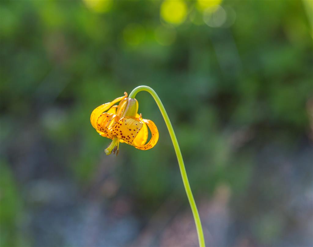
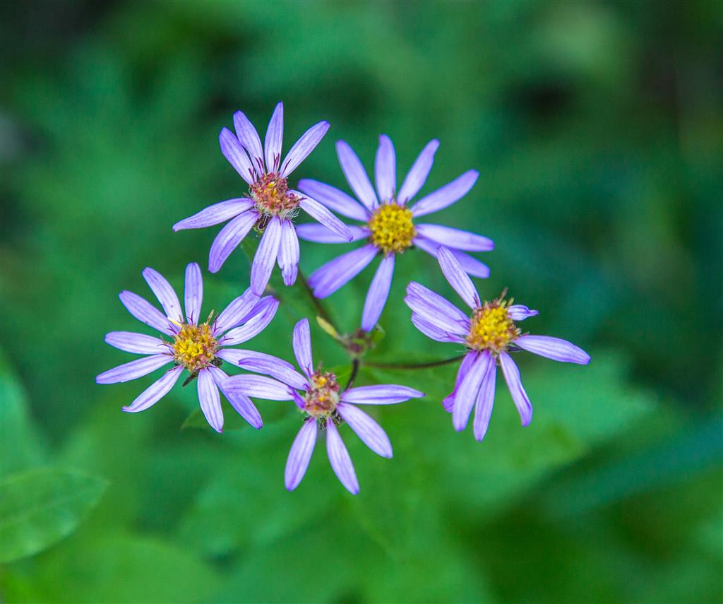
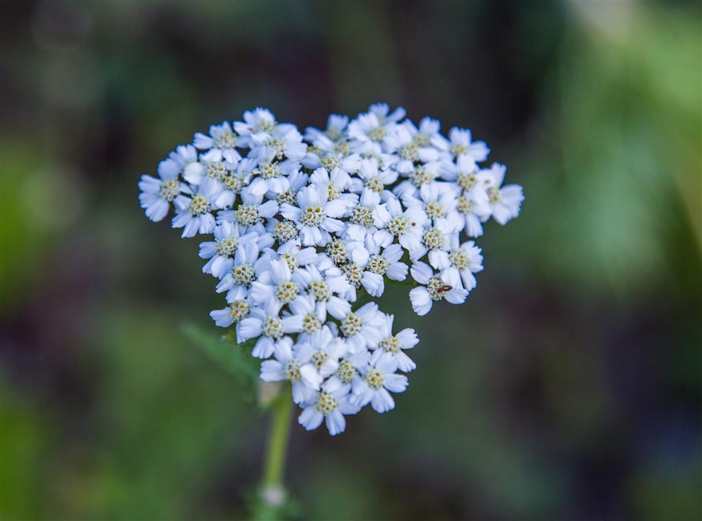
- Wildflower country: The Heather Trail is famous for its subalpine flower displays. Peak flowering is usually from late July into early August, although timing varies with winter snowfall, spring temperatures, and summer weather.
- Biogeoclimatic zones: At these elevations, much of the route passes through ecosystems associated with the Engelmann Spruce–Subalpine Fir biogeoclimatic zone, with increasingly open parkland and alpine vegetation at higher elevations. Near the highest ridges, conditions approach the Alpine Tundra zone, where trees become sparse or disappear entirely.
- Wildlife: Manning Park supports black bears, grizzly bears, mule deer, moose, pika, marmots, and numerous bird species. Wildlife should be observed from a distance and never fed.
- No cell service: E.C. Manning Park has little or no cellular service in many areas, including much of the backcountry. Do not depend on your phone for emergency communication.
The Route
The interactive map below shows my actual GPS route to First Brother and back. My recording began at the lower parking area, which explains why it is slightly longer than the same hike beginning from the upper trailhead.
Use the layer control in the upper-right corner to switch between the regular map and satellite imagery.
The First Few Kilometres
The hike begins high on Blackwall Road and initially trends downhill through subalpine forest. The descent is gentle enough that it is easy to make good time, but remember that all of this elevation must be regained near the end of the return hike.
After several kilometres, the trail reaches Buckhorn Campground, about 5 km from the Upper Alpine parking area. From there, the route begins climbing gradually toward the open meadows and the Three Brothers ridge.
The Subalpine Meadows
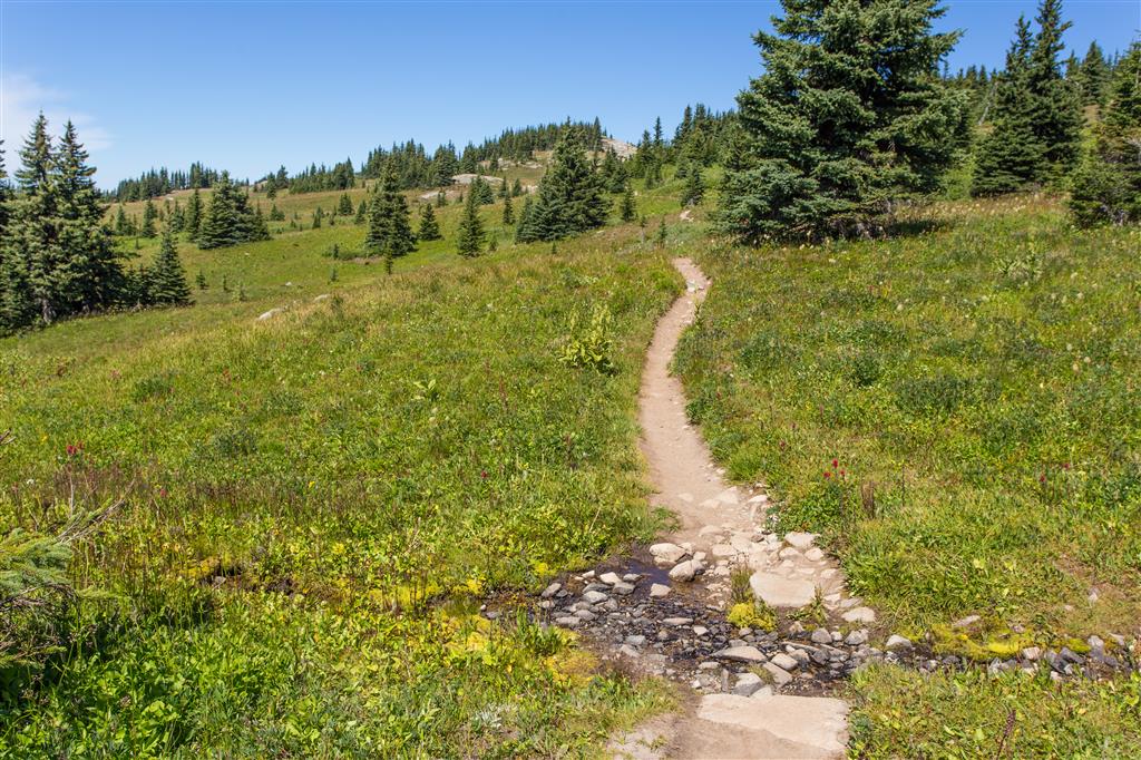
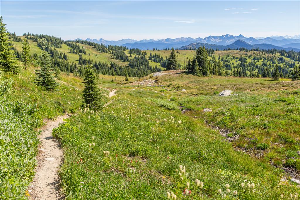
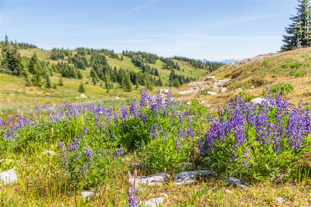
Once the trail emerges from the trees, the character of the hike changes completely. Broad subalpine meadows spread across the rolling terrain, with expansive views toward the surrounding mountains.
This is one of Manning Park’s most famous wildflower areas. During my August hike, the flowers were still in excellent condition and covered large sections of the slopes.
The growing season at this elevation is extremely short and alpine plants can be damaged easily. Stay on the established trail, do not walk into flower meadows for photographs, and never pick the flowers.
Approaching First Brother
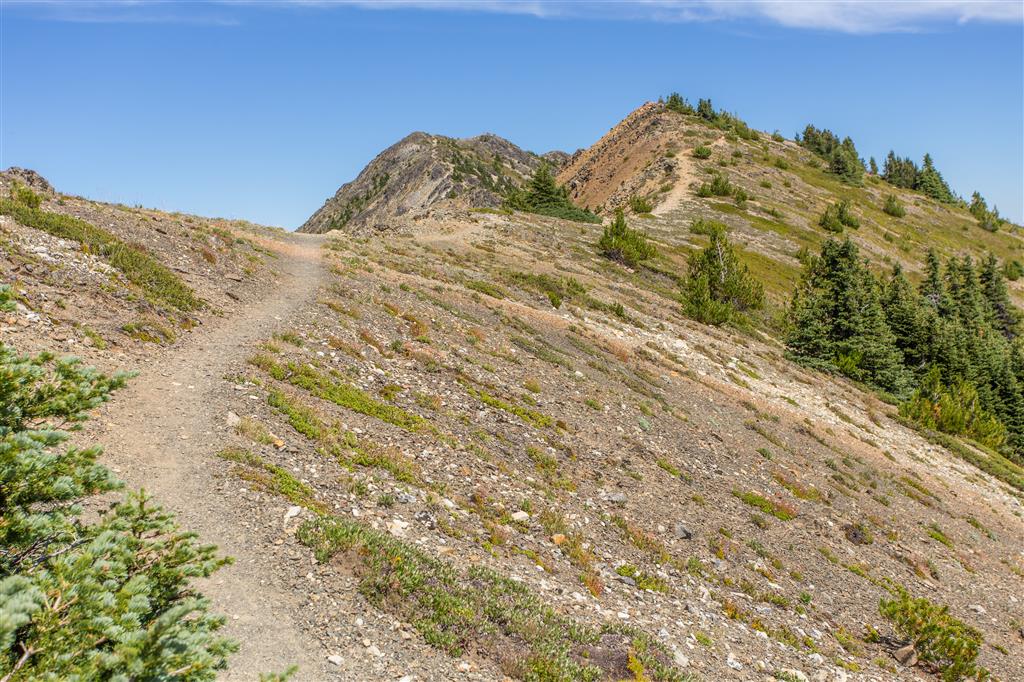
The trail eventually reaches a junction where the route to First Brother leaves the main Heather Trail. The steepest climbing of the day occurs here as the trail gains the ridge leading toward the summit.
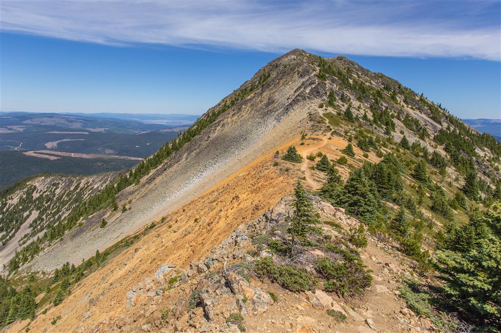
The final ridge is narrower and more exposed than the rest of the hike, but the views improve with almost every step.
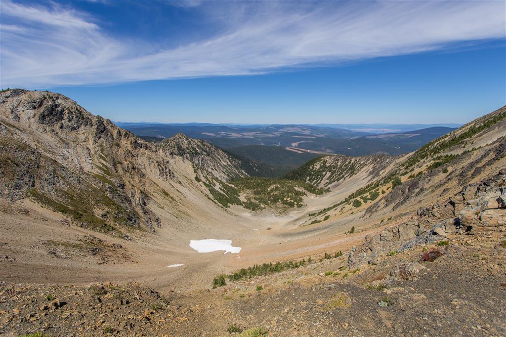
First Brother Summit
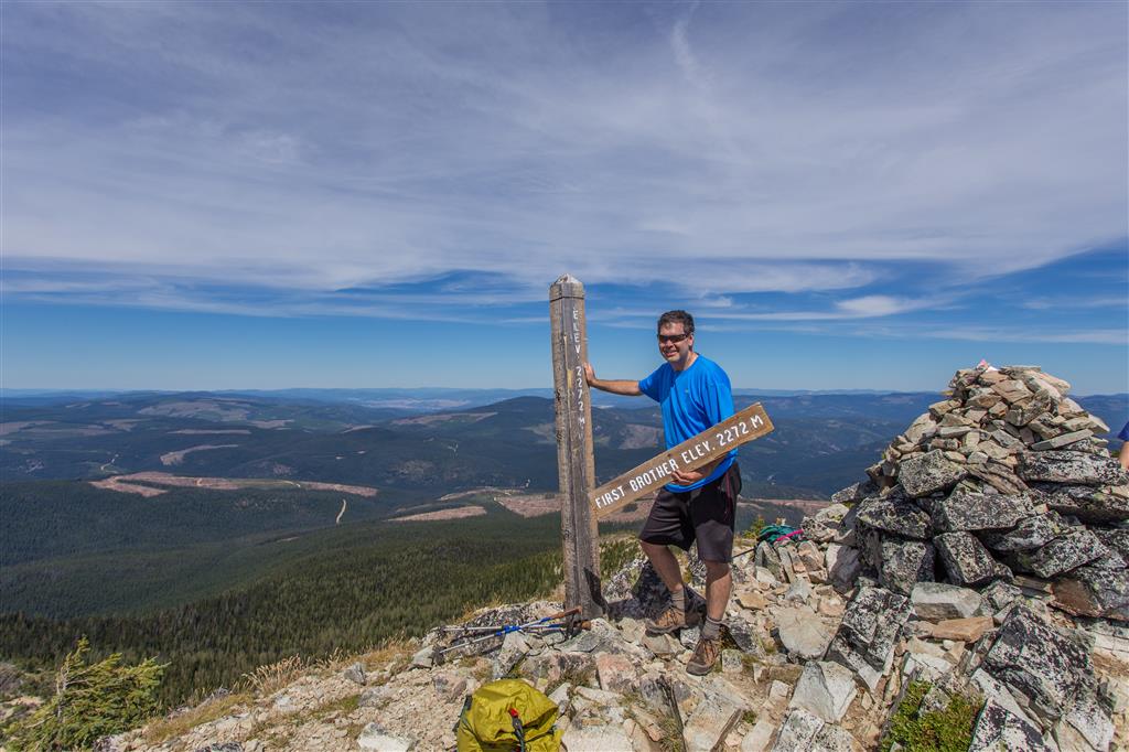
First Brother reaches approximately 2,272 m and provides panoramic views in every direction. The long approach is rewarded with an excellent perspective over the Three Brothers ridge, Manning Park’s alpine meadows, and the surrounding Cascade Mountains.
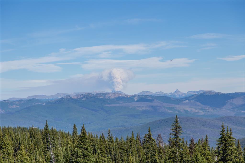
Smoke was visible in the distance during my visit. Summer wildfire smoke is possible throughout southern British Columbia, so air quality and wildfire conditions are worth checking before a long alpine hike.
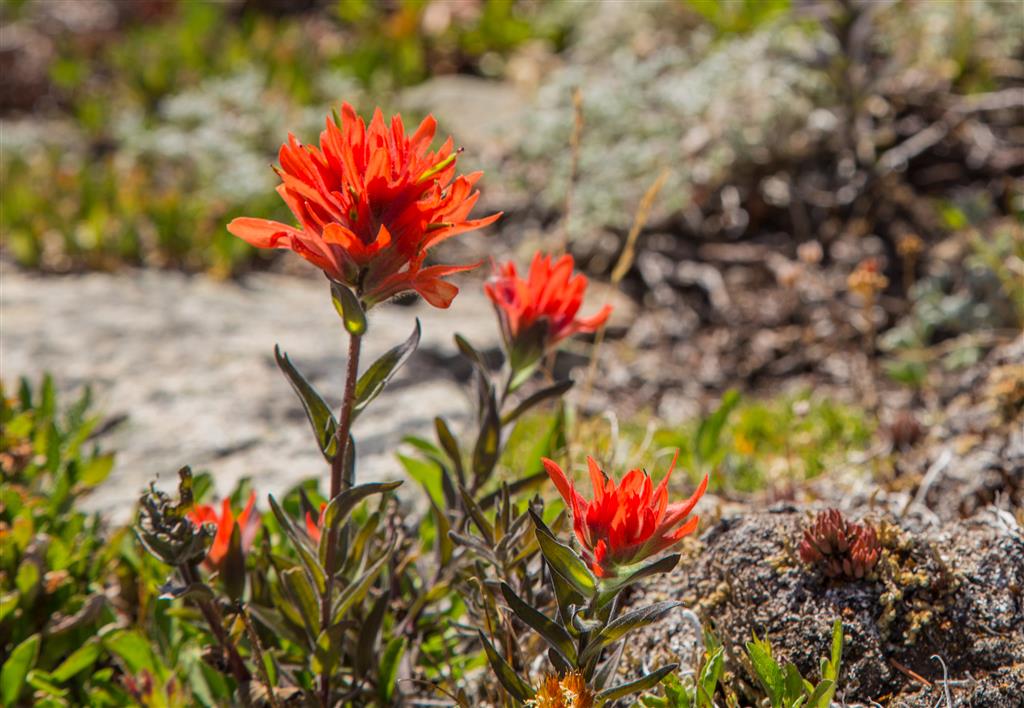
Wildflowers
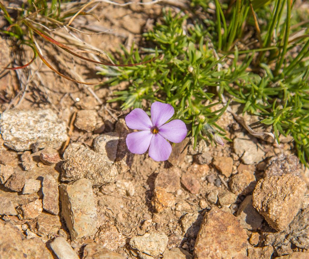
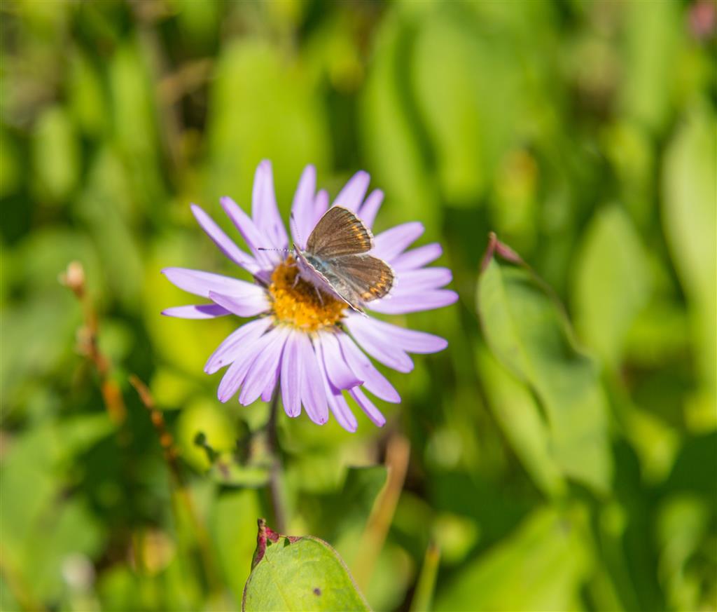
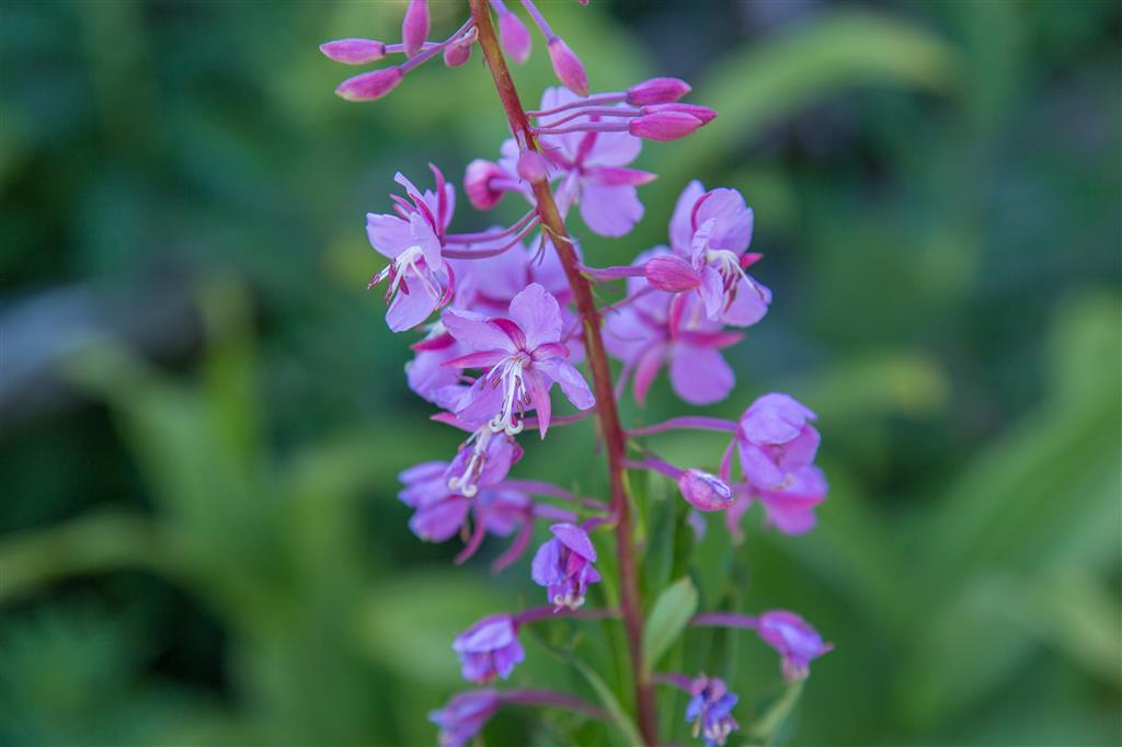
The alpine and subalpine flowers are one of the main reasons to hike the Heather Trail in midsummer. The exact timing of peak bloom changes every year depending on snowmelt and weather, but late July and early August are typically excellent.
What to Bring
This is a long, remote hike at high elevation, so I recommend carrying the Ten Essentials. Navigation, a headlamp, sun protection, first-aid supplies, extra food, extra water, emergency shelter, and warm and waterproof clothing are particularly important.
Much of the route is exposed once you reach the meadows, so sun protection and sufficient water are essential on hot days. Weather can also change quickly at more than 2,000 m elevation, even when conditions are warm and sunny at the trailhead.
E.C. Manning Park has little or no cellular service in many areas. Download an offline map or GPS route before your trip, carry a fully charged phone and backup power, and leave your route and expected return time with someone you trust.
Leave No Trace
Leave No Trace is especially important on the Heather Trail because the subalpine and alpine meadows have a very short growing season and can take years to recover from trampling.
Stay on the established trail even when taking photographs, do not pick wildflowers, pack out everything you bring in, keep wildlife at a distance, and never feed animals. Avoid creating shortcuts across meadows or fragile slopes.
Before You Go
Check current conditions before leaving home. Blackwall Road access, snow levels, trail conditions, wildflower timing, wildfire activity, and weather can all change considerably through the season.
Most high-elevation trails in Manning Park are not reliably snow-free until late June or early July. Autumn snow can also arrive early.