This hike is also known as Tunnel Point.
Trail Details (from the Highway Trailhead)
The trail statistics below are from my route, which started at the highway trailhead. They are not measured from the new starting point in the residential neighbourhood, so the distance, time and elevation gain from there may differ.
- Distance: 7.3 km (return)
- Time: 3 to 5 hours
- Low point: 64 m
- High point: 708 m
- Elevation gain: 644 m
- Cumulative elevation gain: 850 m
The Trail
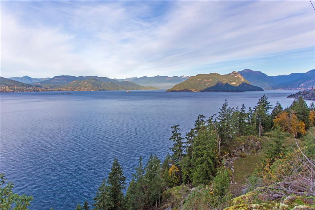
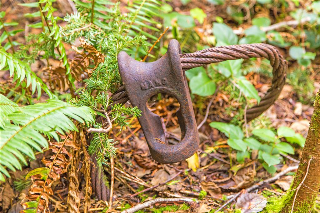
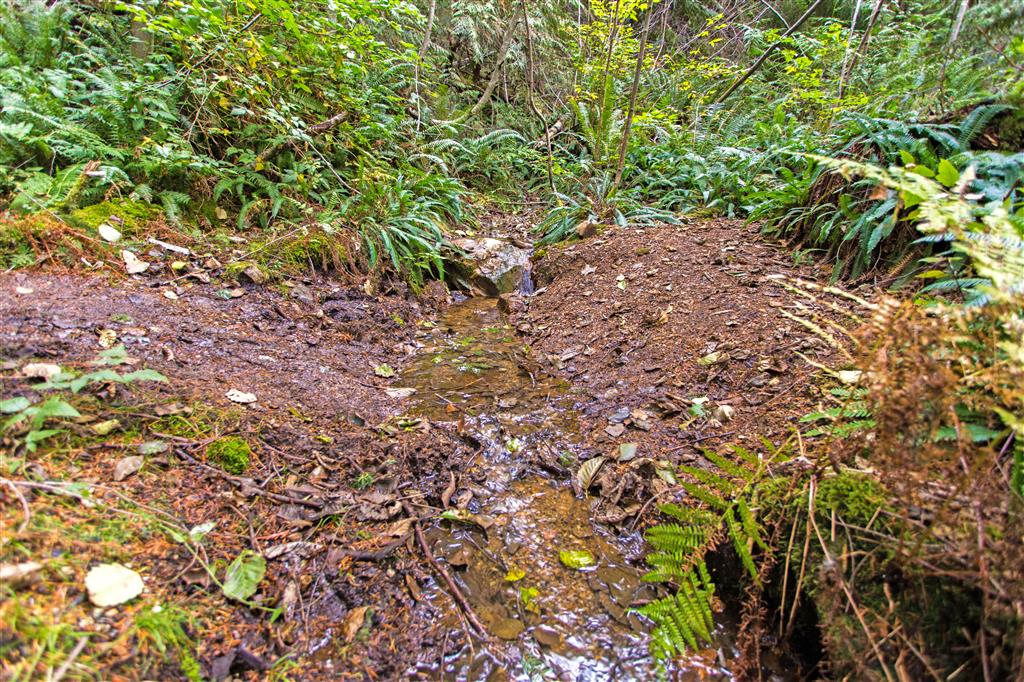
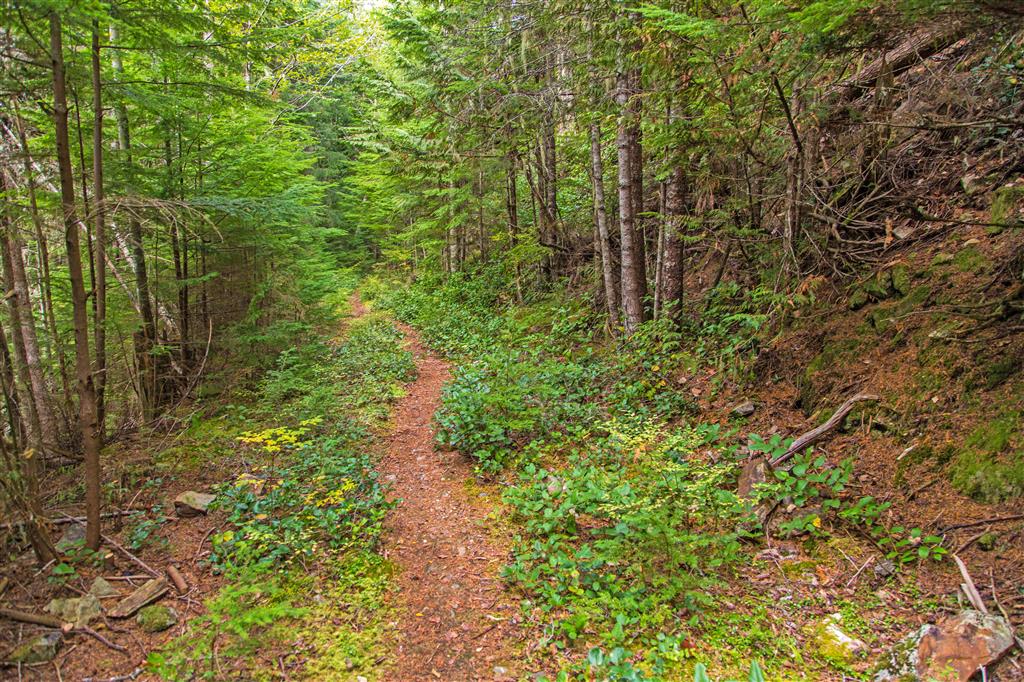
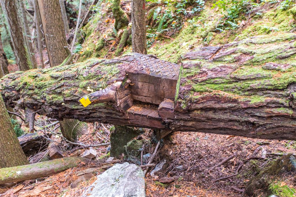
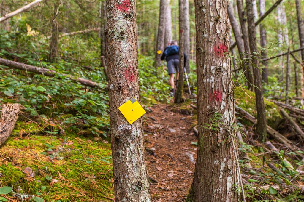
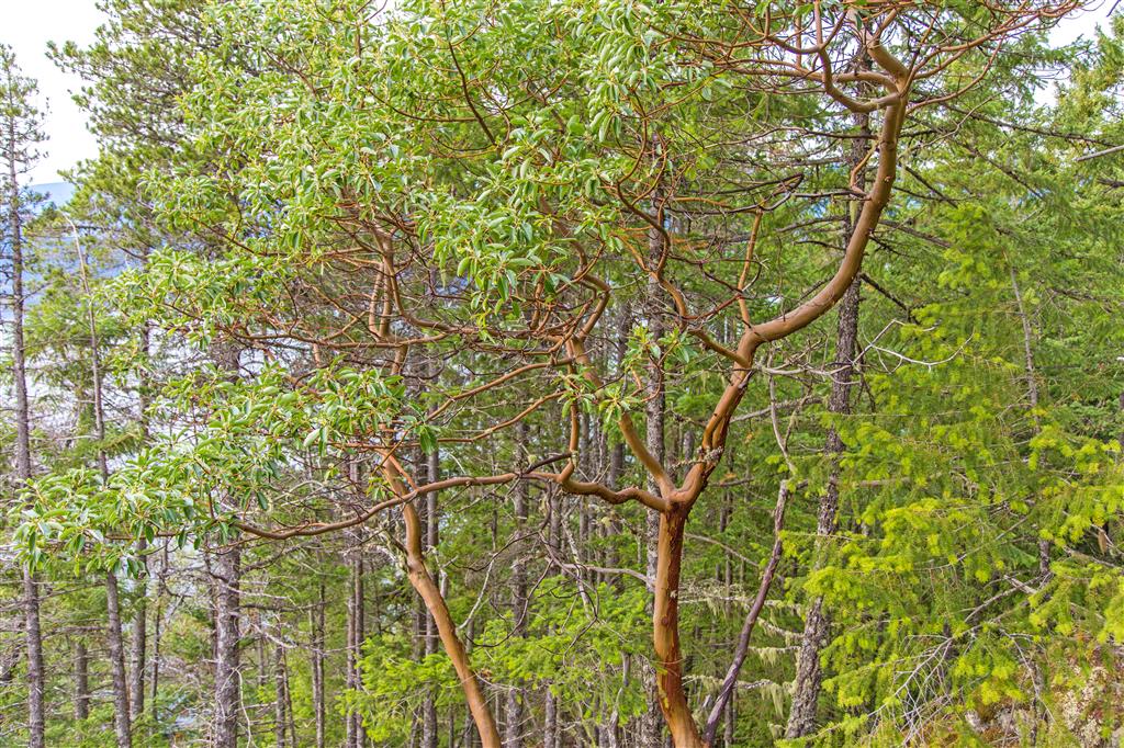
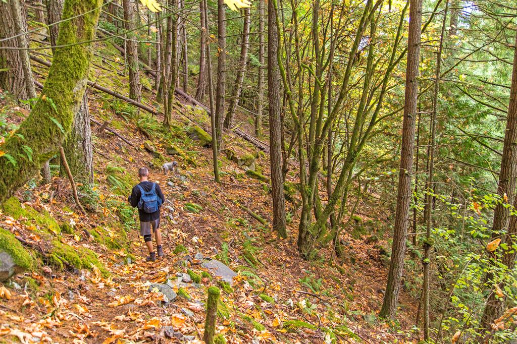
The hike starts uphill immediately and continues so until about the 600 m elevation mark. At this point you travel on an old logging road until you reach the end. On the way up, there are 3 viewpoints, but none are nearly as good as what you’ll see at the end. The trail is in good shape and is not technical. There are a couple of ropes, but they aren’t really needed. There is one small creek (at 640 m) and a few monster trees. The view from the bluff is quite spectacular. You can see Howe Sound, Bowen Island, Gambier Island and Anvil Island, among others.
Photos
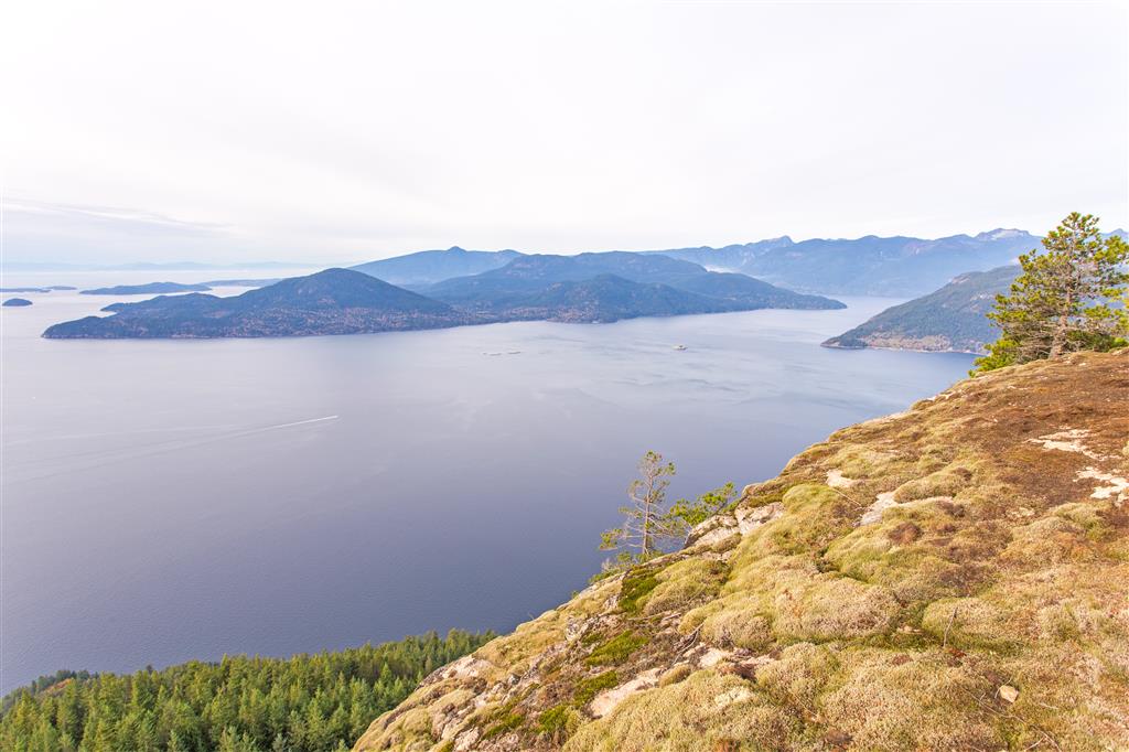
A short video from the bluff:
Before You Hike
Before heading out on your hike, make sure you are well prepared. This means having the TEN ESSENTIALS. It is also important to leave a trip plan (route details and estimated return time) with someone you trust.
Bring your smartphone, fully charged, and put it in airplane mode while hiking. I always bring backup battery packs for extra peace of mind. It is highly recommended that you bring a GPS device. I use my smartphone with a GPS app (Backcountry Navigator). The GPS will work in airplane mode. Learn how to use it before your hike.
For anyone new to hiking, there is a rule that hikers follow called “Leave No Trace” or LNT. The concept is generally to pack out what you pack in and respect nature, so all future visitors can enjoy what you have enjoyed. To learn more about LNT, please check out this blog by a certified LNT Trainer.