Skyline Divide is one of the classic high-elevation hikes in the Mount Baker area, with expansive mountain views, rolling subalpine ridges, and spectacular summer wildflowers. The trail is located in the Mount Baker-Snoqualmie National Forest on the northern side of Mount Baker.
Trail Stats
These statistics are based on my recorded GPS track. I continued along Skyline Divide beyond the first major viewpoint and followed the ridge toward Mount Baker before turning around.
- Distance: approximately 13.4 km return
- My hiking time: approximately 6 hours 15 minutes, including stops and photography
- Low point: approximately 1,312 m
- High point: approximately 1,990 m
- Elevation gain from trailhead to high point: approximately 680 m
- Cumulative elevation gain: approximately 950 m
- Difficulty: Challenging
- Route: Out and back
Parking Pass
When the trailhead is accessible, a Northwest Forest Pass or an accepted America the Beautiful Interagency Pass is required for parking.
Because access and pass requirements can change, confirm the current requirements before your trip rather than relying on older information.
Interesting Facts
- Skyline Divide: The trail follows a high ridge extending north from Mount Baker. Once you reach the ridge, much of the remainder of the hike consists of a series of rolling knolls with increasingly close views of the mountain.
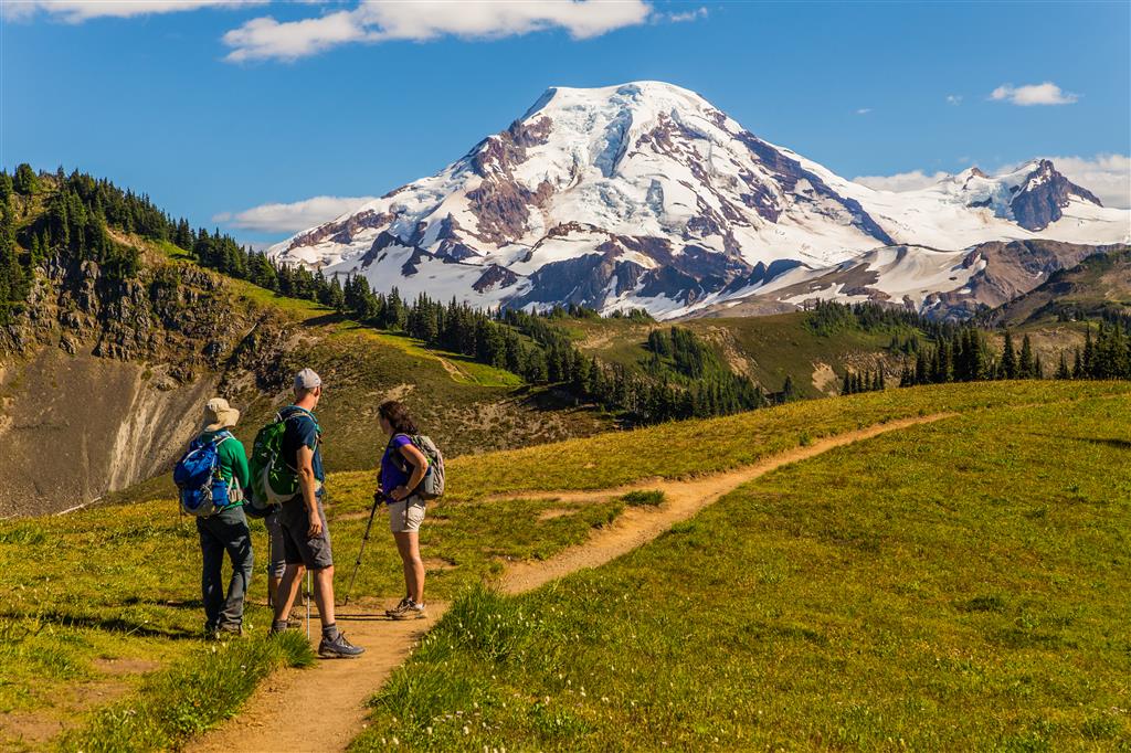
- Mount Baker: Mount Baker is an active, heavily glaciated Cascade volcano reaching approximately 3,286 m above sea level. It dominates the southern view for much of the ridge hike.
- Mount Baker Wilderness: The upper portion of the hike enters the Mount Baker Wilderness, where development is deliberately minimal and the landscape becomes increasingly wild and exposed.
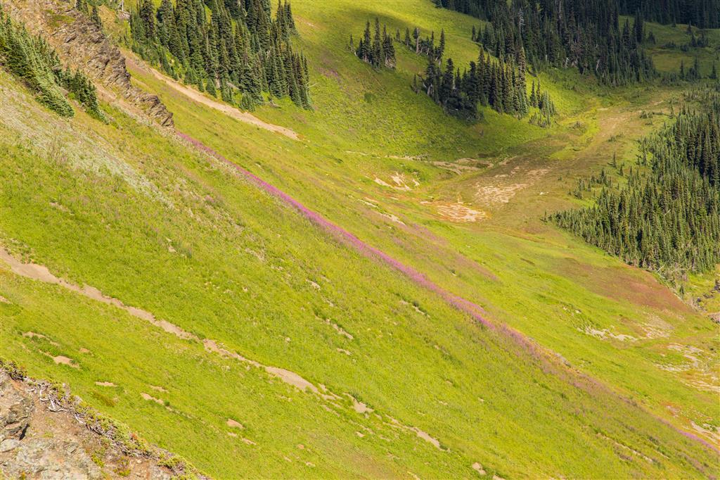
- Wildflower country: Skyline Divide is particularly well known for its summer wildflowers. Depending on snowmelt and weather, large areas of the ridge can be covered with lupine, paintbrush, valerian, bistort, arnica, fireweed, and many other species.
- Ecological setting: The lower trail climbs through cool, moist mountain forest containing species such as western hemlock, mountain hemlock, and Pacific silver fir. At higher elevations, the forest gives way to subalpine parkland and open wildflower meadows, followed by increasingly rocky and wind-exposed ridge terrain.
- Rapid weather changes: The open ridge provides spectacular views but also leaves hikers exposed to sun, wind, fog, rain, and rapidly changing mountain weather.
- Limited water: Once seasonal snow has melted, reliable water can be difficult to find along the high ridge. Carry enough water for the full hike.
- Wildlife: Grouse are commonly encountered along the access road and trail, while marmots and smaller mountain mammals may be seen around the higher meadows and rocky slopes.
The Route
The interactive map below shows my actual GPS route from the trailhead along Skyline Divide and back. Use the layer control in the upper-right corner to switch between the regular map and satellite imagery.
The Climb to Skyline Divide
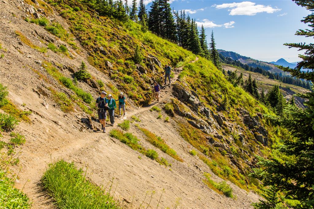
The hike begins in forest and immediately starts climbing. The first approximately 3 km contain most of the sustained climbing as the trail gains roughly 450 m before reaching the open ridgeline.
The trail is generally well defined, but the steady grade makes this opening section a good workout. As you approach the ridge, the trees become smaller and more widely spaced before suddenly giving way to open meadows.
Reaching the Ridgeline
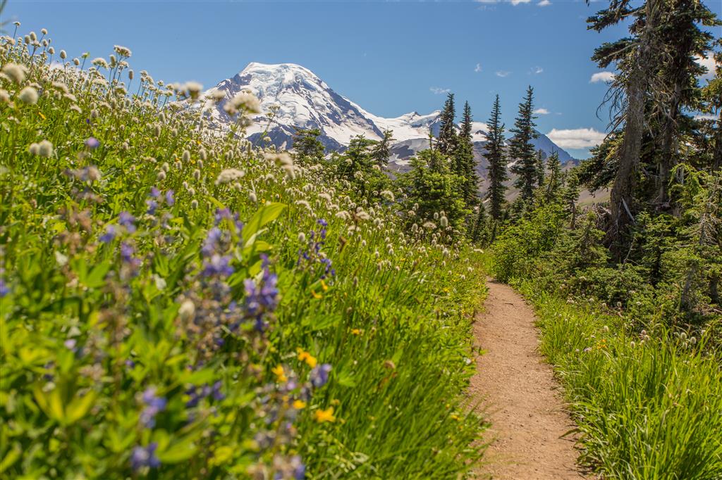
Reaching Skyline Divide completely changes the character of the hike. The enclosed forest disappears and broad views open in almost every direction. Mount Baker dominates the view to the south, while the North Cascades stretch away toward the east and north.
Along Skyline Divide
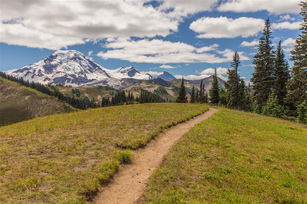
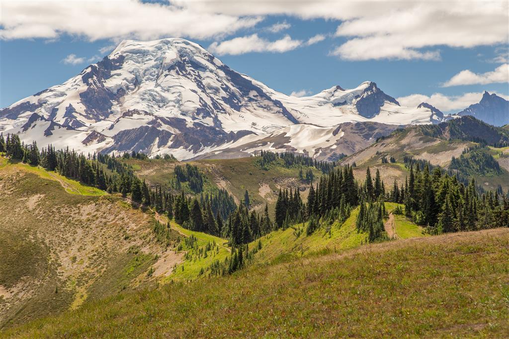
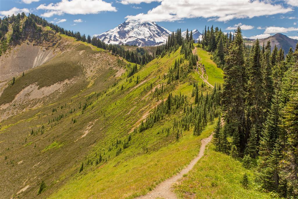
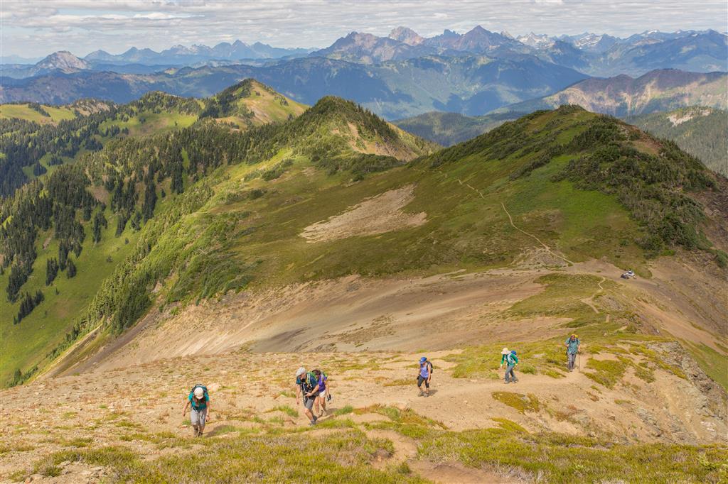
Once on the ridge, the trail continues across a series of rolling knolls. There is no single mandatory turnaround point for a day hike, so you can continue along the divide as far as your available time, energy, weather, and conditions allow.
The farther I travelled along the ridge, the closer Mount Baker appeared. The terrain also gradually became rockier and more exposed, although the route remained surrounded by remarkable mountain scenery.

Wildflowers
Wildflowers are one of the highlights of Skyline Divide. In a good year, large portions of the ridge can be covered with flowers during midsummer, particularly after the seasonal snow has melted but before the meadows begin drying later in the season.
The exact timing varies considerably from year to year depending on winter snowfall, spring temperatures, and summer weather.
What to Bring
Skyline Divide is a remote mountain hike with substantial elevation gain and long sections of exposed ridgeline, so I recommend carrying the Ten Essentials.
Bring reliable navigation, a headlamp, sun protection, first-aid supplies, extra food, sufficient water, emergency shelter, and extra warm and waterproof clothing. Conditions on the open ridge can change rapidly even when the day begins warm and sunny.
Water can be particularly important on this hike because reliable sources may not be available along the ridge after the seasonal snow has melted. Carry enough for the full trip rather than assuming water will be available.
Download an offline map or GPS route before leaving the Mount Baker Highway, carry a fully charged phone and backup power, and leave your route and expected return time with someone you trust. Cellular coverage should not be relied upon.
Leave No Trace
The wildflower meadows along Skyline Divide are beautiful but fragile. Please follow Leave No Trace principles by remaining on established trails and durable surfaces, particularly when stopping for photographs.
Do not pick wildflowers, avoid trampling meadow vegetation, pack out everything you bring in, keep wildlife at a distance, and do not leave food behind. Campfires are not permitted along Skyline Divide.
Before You Go
The most important current issue is access. As of October 2026, Forest Road 37 remains closed because of flood damage and the traditional trailhead cannot be reached by vehicle.
When road access eventually returns, continue to check road conditions before every trip. Forest roads in the Mount Baker area are vulnerable to washouts, storm damage, potholes, fallen trees, and seasonal snow.
Also check current weather, snow conditions, wildfire activity, and recent trail reports before heading into the mountains.