The Buntzen Lake Loop is the most popular hike at Buntzen Lake and one of the best lake loops in the Metro Vancouver area. The trail circles Buntzen Lake through mature coastal forest, follows long sections of shoreline, crosses numerous small bridges, passes North Beach, and crosses the suspension bridge near the north end of the lake.
At approximately 10.1 km, the loop is long enough to feel like a good hike without being especially difficult. There are plenty of short climbs, descents, exposed roots, rocks, and uneven sections, particularly along the west side of the lake.
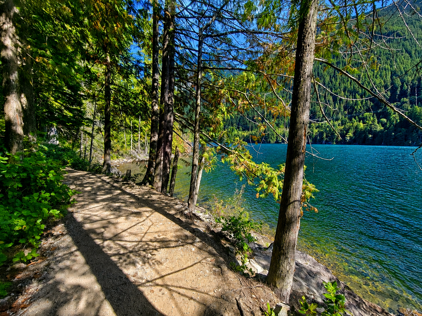
Buntzen Lake Loop Trail Stats
Typical hiking time: 2 to 4 hours
Elevation gain: approximately 100 m
Cumulative elevation gain: approximately 325 m
Difficulty: Easy to moderate
Route: Loop
Faster hikers can complete the loop in around two hours, while those stopping regularly for photos, a break at North Beach, or a picnic may take considerably longer.
Buntzen Lake Loop Map
The interactive map below shows an actual GPS recording of the Buntzen Lake Loop. Use the layer control in the upper-right corner to switch between the regular map and satellite imagery.
Which Direction Should You Hike?
I normally hike the loop clockwise, starting along the west side of Buntzen Lake. The loop can be hiked in either direction, but I prefer doing the west side first because it is longer, hillier, and generally more shaded.
The west side has numerous short climbs and descents as the trail follows the terrain above the shoreline. None of the climbs are particularly large, but the constant ups and downs account for much of the cumulative elevation gain on the hike.
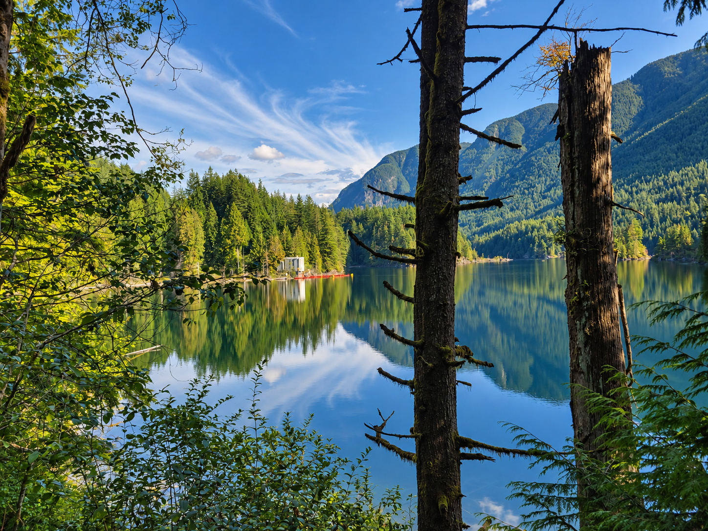
Most of the trail passes through mature forest, but there are frequent openings where you can look across Buntzen Lake and toward the surrounding mountains.
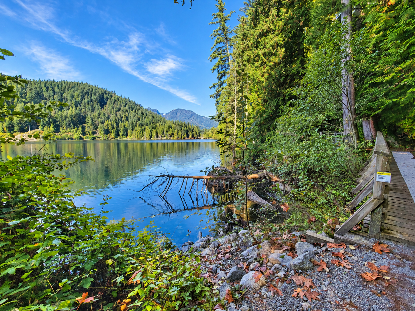
North Beach and the Suspension Bridge
At the north end of the lake, the route reaches North Beach and the Buntzen Lake Suspension Bridge. When hiking clockwise with the west side first, you have completed roughly 60 percent of the loop by the time you reach North Beach.
North Beach is a good place to stop for a break before continuing around the lake. From here, the route crosses the suspension bridge and continues south along the east side.
The east side is generally easier and less undulating than the west side, although there are still roots, rocks, short hills, and uneven trail sections. Portions of the return route also follow Powerhouse Road.
What Is the Trail Like?
The Buntzen Lake Loop is well defined and generally easy to follow. It is not, however, a completely flat lakeside walk. Expect forest trail, exposed roots, rocks, wooden bridges, short climbs and descents, and occasional muddy or slippery areas following rain.
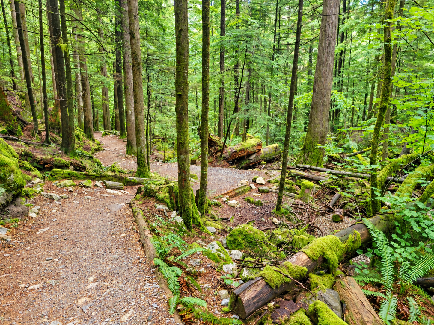
Much of the trail is shaded, making the loop a good choice during warmer weather. In the wetter months, roots, rocks, wooden bridges, and other surfaces can become slippery.
The South End of Buntzen Lake
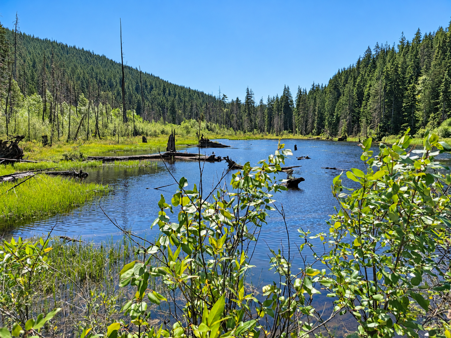
Near the south end of the loop, the route passes the shallow southwest arm of Buntzen Lake before returning toward South Beach and the main recreation area.
When to Hike the Buntzen Lake Loop
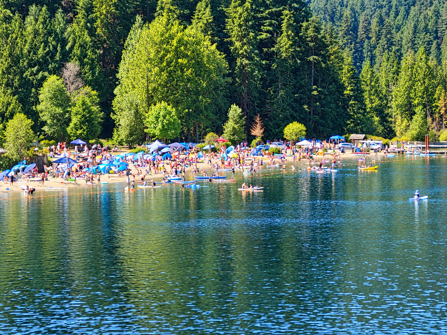
The Buntzen Lake Loop can be hiked throughout much of the year. Spring and autumn are particularly enjoyable, while summer weekends and warm sunny days can be extremely busy.
The difference between a quiet morning and a hot summer afternoon can be dramatic, particularly around South Beach.
Parking requirements, gate hours, and recreation-area access can change seasonally. Check current information before heading to Buntzen Lake, particularly during the busy summer season.
Before You Go
Wear suitable footwear, carry water, and bring a fully charged phone. Cell coverage can be unreliable in parts of the area, so downloading a map before starting the hike is a good idea. Allow enough time to complete the loop before the recreation-area gate closes.
Dogs are permitted on the trails but should be kept under control and must be leashed where required. Please pack out anything you bring with you and leave the trail as you found it.
Trail conditions can change due to weather, maintenance, or temporary closures. Before heading out, check BC Hydro for any current access restrictions or major trail advisories.