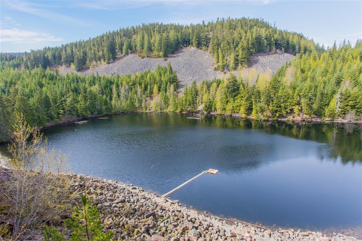
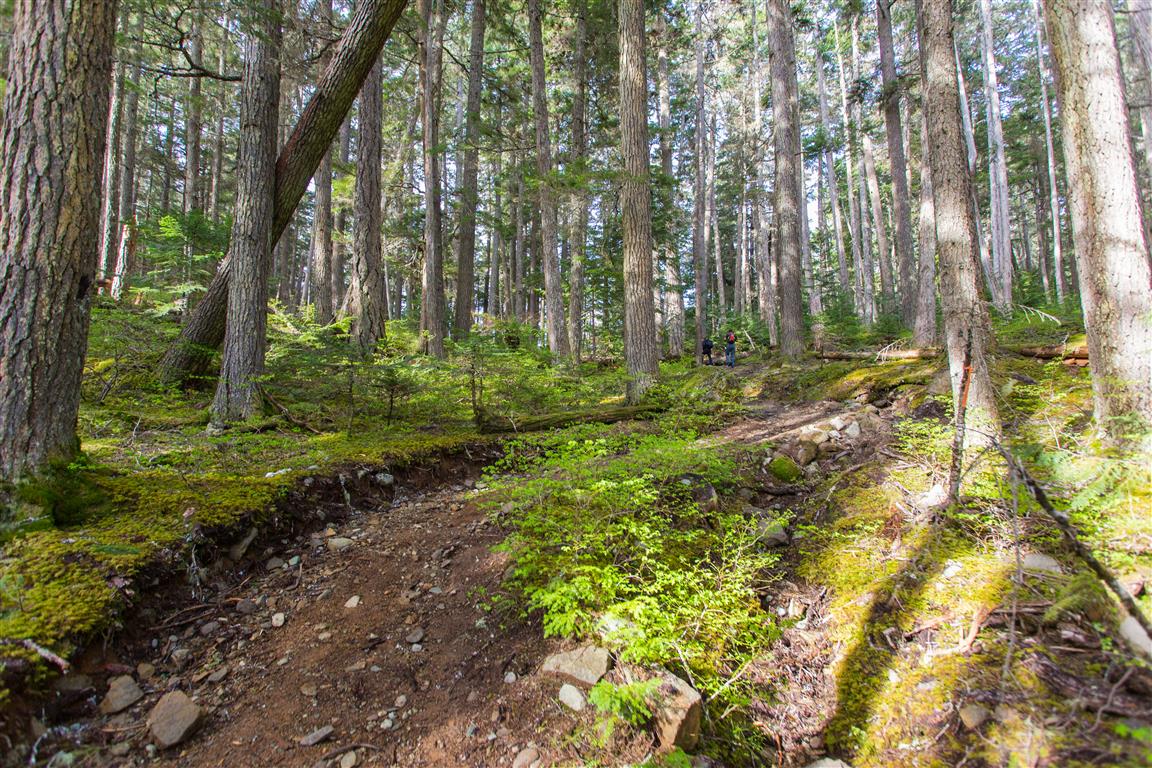
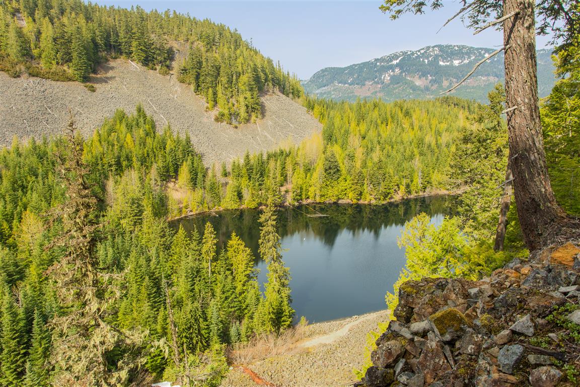
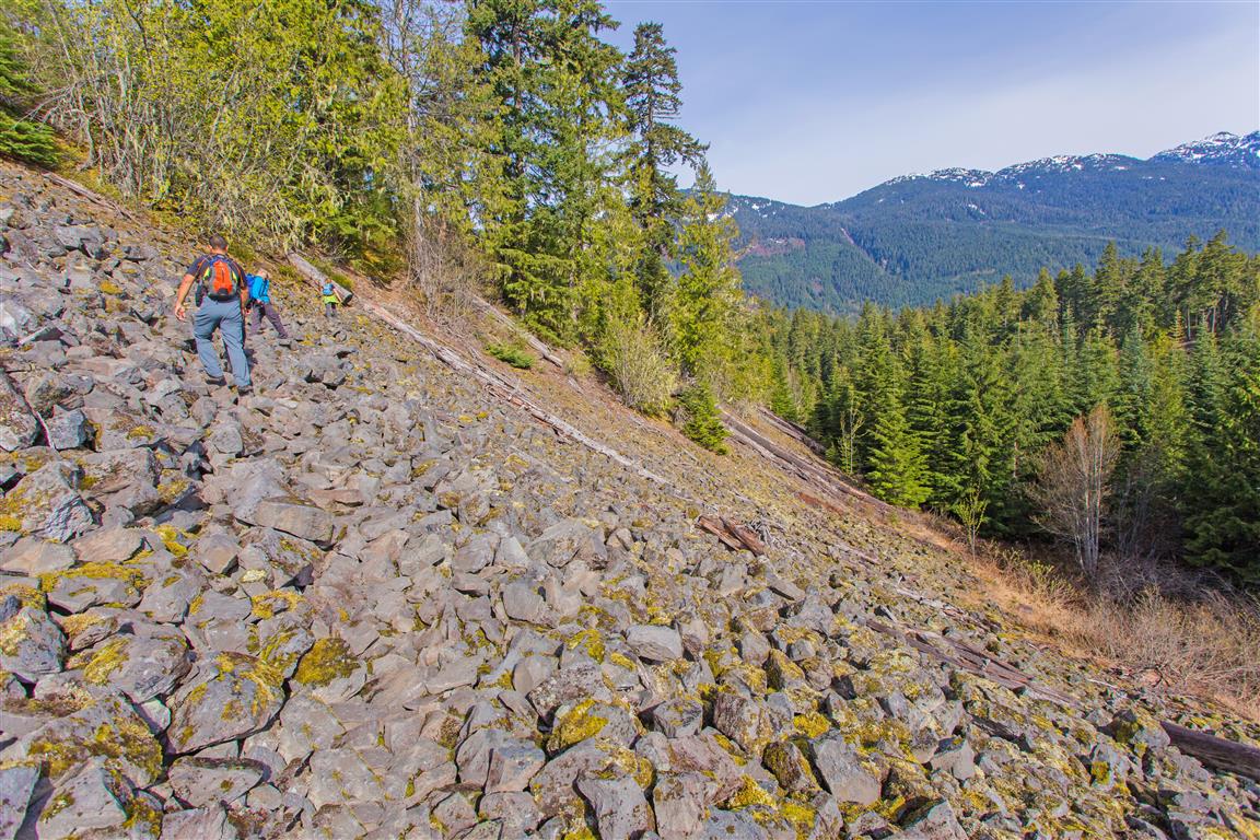
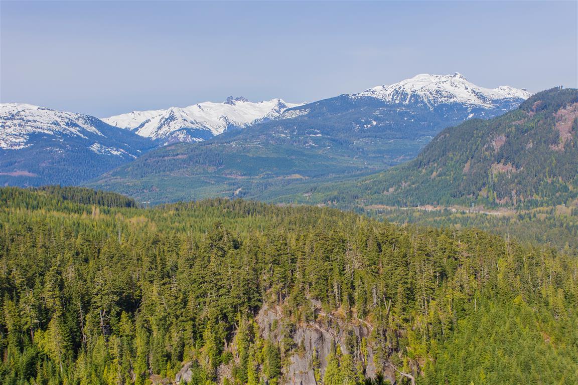
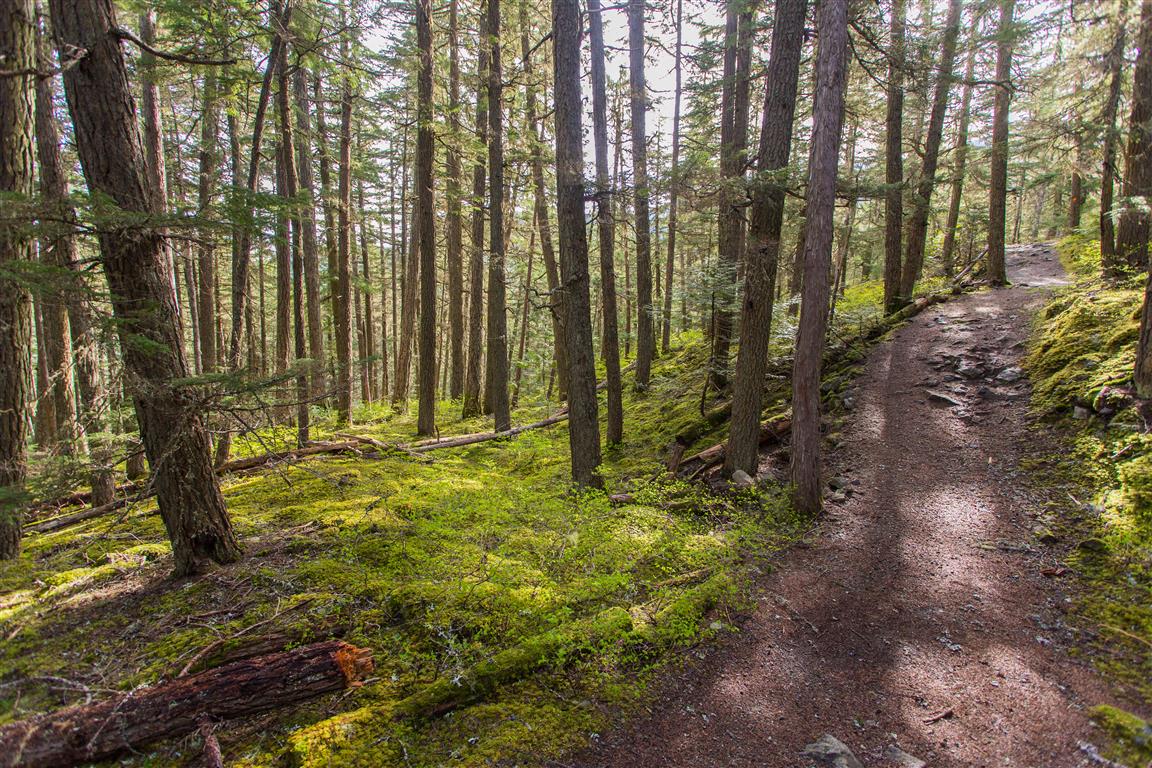
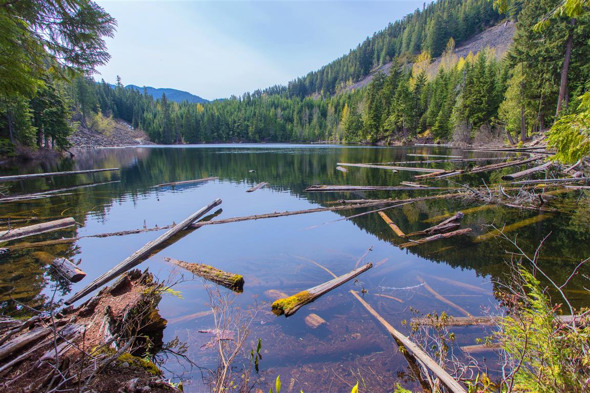
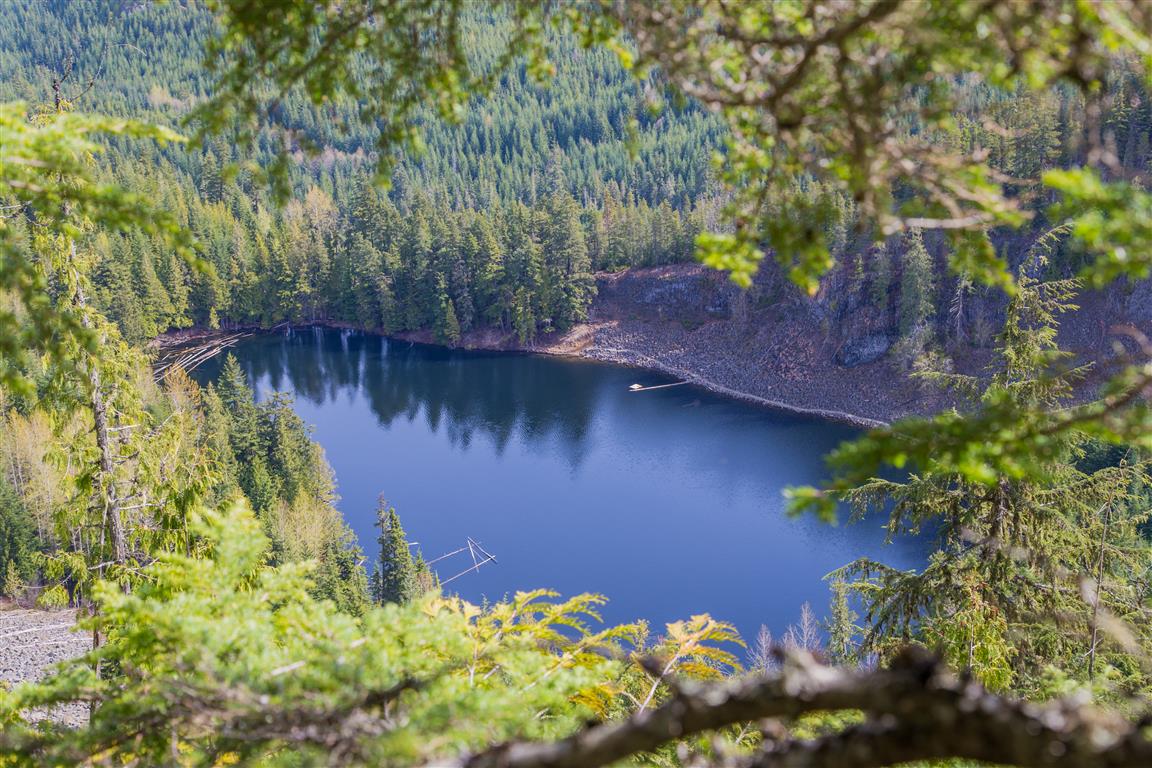
Before heading out to this place, I never knew Whistler had its own crater lake! It’s pretty cool to explore these new trails and learn new stuff! The Crater Rim Trail is in Whistler Interpretive Forest, and the trailhead is on the opposite side of the highway from Function Junction. The lake is named Logger’s Lake. The trail takes you through a boulder field and up to the crater rim and along the ridge. Eventually the trail makes its way down towards the lake. There are a number of viewpoints along the way.
Interesting Facts
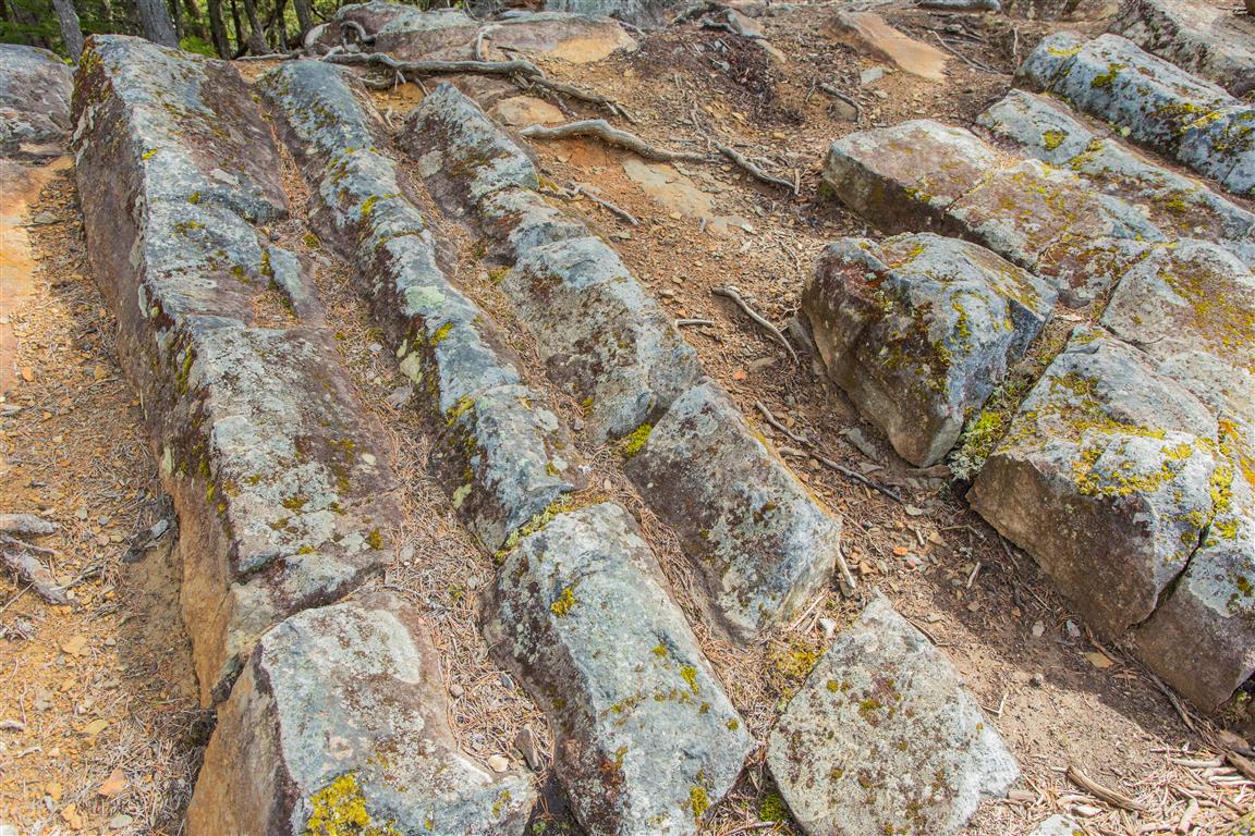
- Logger’s Lake really does sit inside a volcanic crater. The volcanic cone pushed up through glacial ice around 10,000 years ago, and as the lava cooled, it formed the columns of basalt you can still see in the rock outcroppings on the hillsides above the lake
- Logger’s Lake is considered one of the best spots in the Whistler area for swimming, often cited as the warmest lake around thanks to its relatively shallow, sheltered setting
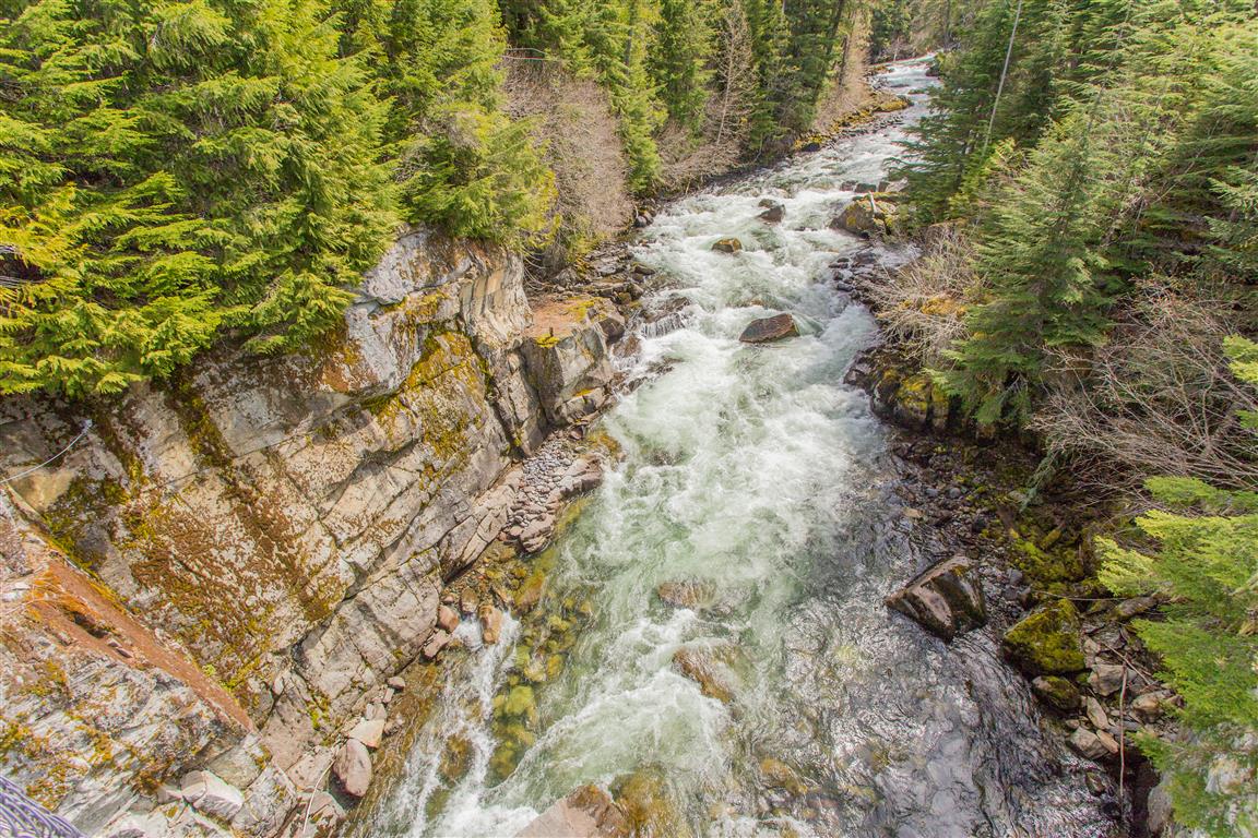
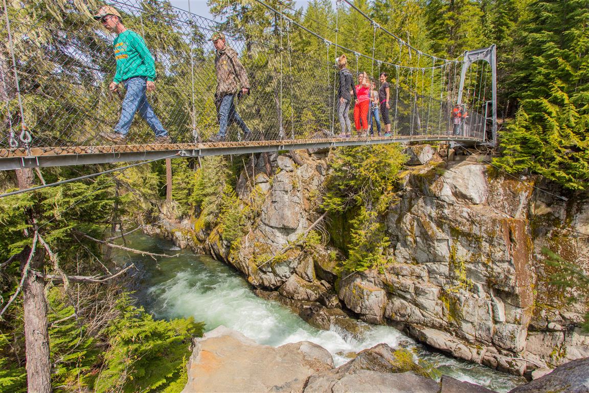
- The suspension bridge on this route crosses the Cheakamus River, a glacially fed river that eventually flows into the Squamish River on its way to Howe Sound
- This trail sits within the Coastal Western Hemlock (CWH) biogeoclimatic zone at its lower elevations, transitioning toward the Mountain Hemlock (MH) zone near the higher points along the crater rim
Trail Stats
- Distance: 11.2 km
- Time: 4 hours
- Low point: 611 m
- High point: 925 m
- Elevation gain: 314 m
- Cumulative elevation gain: 438 m
- Trailhead: 50° 5′ 11.3″ N, 123° 2′ 9.8″ W (Google Map)
The Route
The actual GPS track from this hike, drawn on the map below. Green marks the start/end point. Use the layer control in the top right to switch to a satellite view.
Photos

Before You Hike
Before heading out on your hike, make sure you are well prepared. This means having the TEN ESSENTIALS. It is also important to leave a trip plan (route details and estimated return time) with someone you trust.
Bring your smartphone, fully charged, and put it in airplane mode while hiking. I always bring backup battery packs for extra peace of mind. It is highly recommended that you bring a GPS device. I use my smartphone with a GPS app (Backcountry Navigator). The GPS will work in airplane mode. Learn how to use it before your hike.
For anyone new to hiking, there is a rule that hikers follow called “Leave No Trace” or LNT. The concept is generally to pack out what you pack in and respect nature, so all future visitors can enjoy what you have enjoyed. To learn more about LNT, please check out this blog by a certified LNT Trainer.