This is my second post about hiking in Lynn Headwaters Regional Park. The first was a hike to Norvan Falls. Lynn Peak is a very different hike. Instead of following the valley, this route climbs steadily through the forest and is much more of a workout.
The route begins at the Lynn Headwaters park entrance at the north end of Lynn Valley Road. After crossing Lynn Creek, the route follows the lower trails before branching onto the Lynn Peak Route and beginning the long climb.
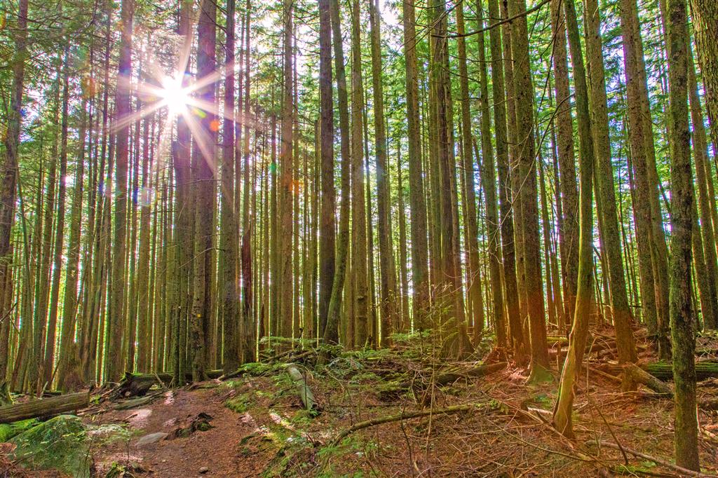
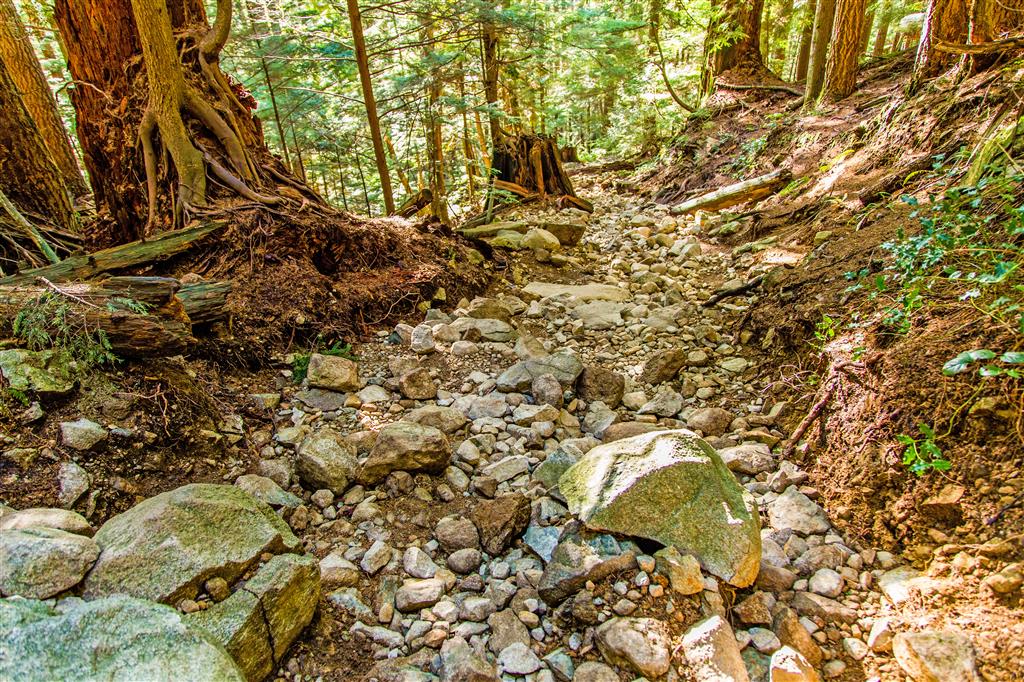
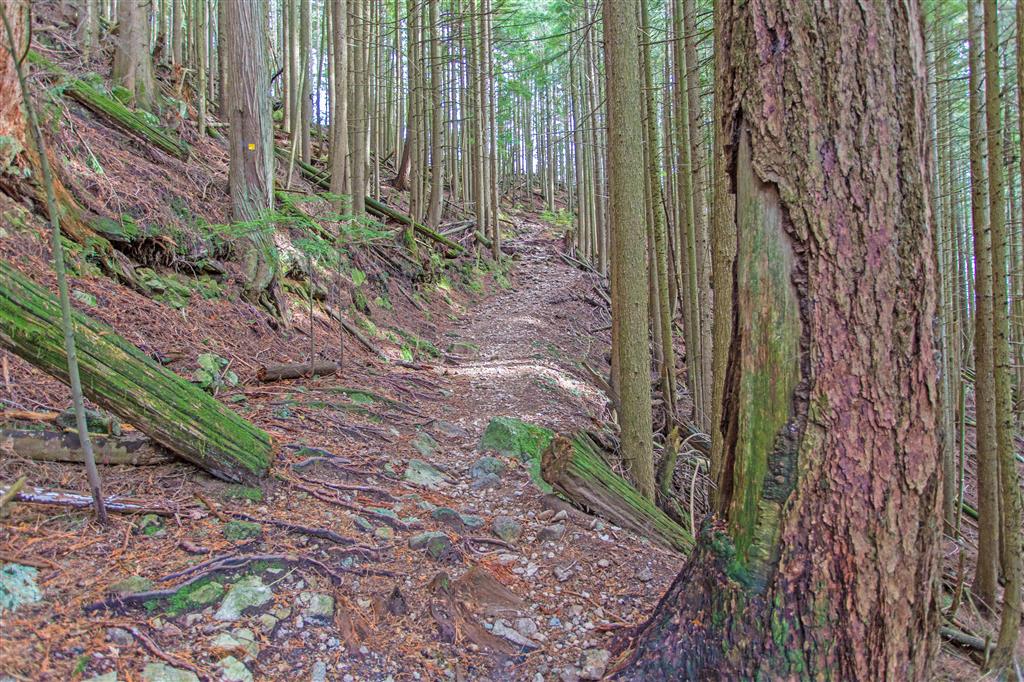
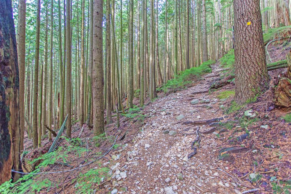
I found the trail well marked, although there are some fairly rocky sections. Overall, the trail was very manageable. Compared with the nearby Grouse Grind, I found this hike easier and much less crowded. There are also occasional flatter sections along the climb where you can catch your breath.
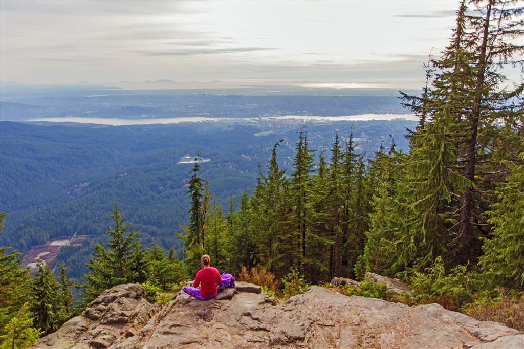
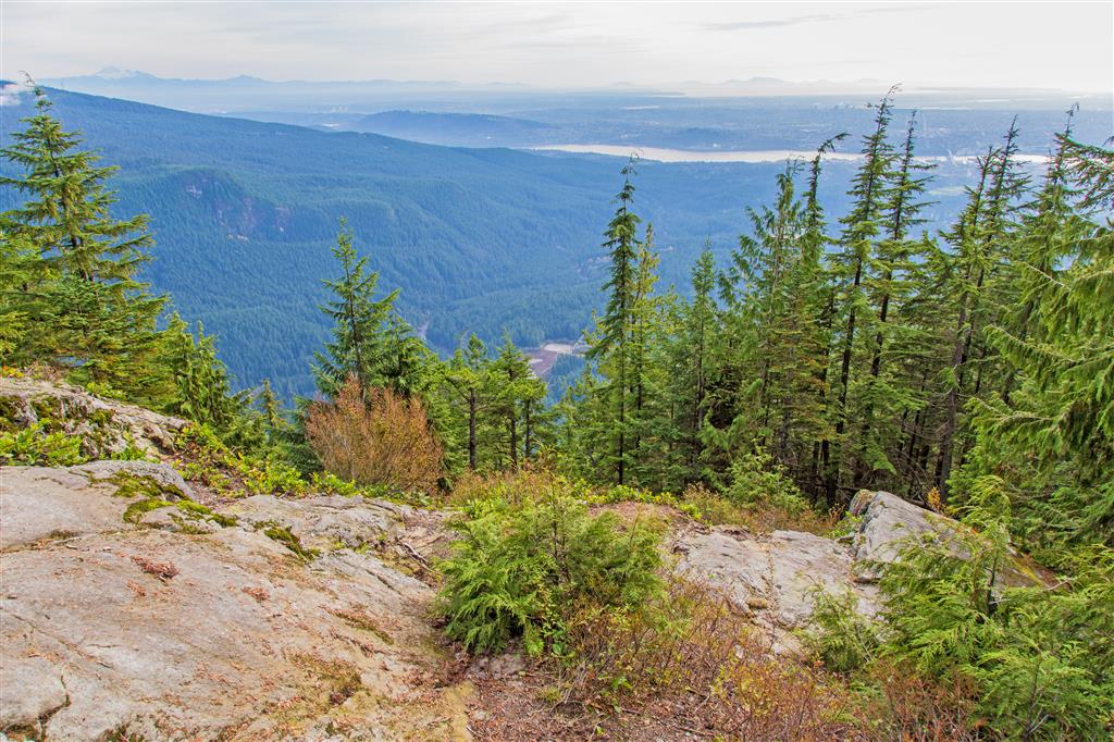
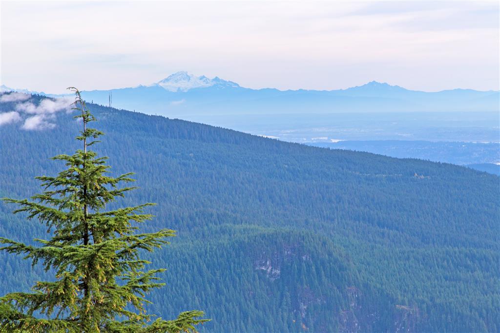
The main destination on this hike is a large rocky viewpoint near the upper end of the marked route. From here there are excellent views looking south across the Lower Mainland and east towards Mount Seymour. It was overcast when I did the hike, but I could still see Mount Baker in the distance.
Interesting Facts
- Metro Vancouver classifies the Lynn Peak Route as a challenging route because of its steep, steady climb and rough, uneven terrain. The current park map lists it as approximately 8.8 km return from the park entrance.
- The rocky viewpoint reached on this hike is below the actual summit of Lynn Peak. My GPS track reached approximately 927 m, while the true summit of Lynn Peak is approximately 992 m. The true summit is farther north along the ridge and is heavily forested, so the lower viewpoint is the more popular destination.
- The hike is primarily within the Coastal Western Hemlock biogeoclimatic zone. As the trail climbs towards 900 m, the forest becomes cooler and wetter and approaches the transition towards the higher-elevation Mountain Hemlock zone.
- Lynn Headwaters was one of the North Shore areas affected by a major western hemlock looper outbreak between 2018 and 2021. The native moth caused substantial defoliation and mortality of western hemlock trees throughout parts of the park.
Trail Stats
- Distance: 9.1 km (return)
- Time: 3 hours moving time
- Low point: 192 m
- High point: 942 m
- Elevation gain: 750 m
The Route
The actual GPS track from this hike is drawn on the map below. Green marks the start/end point. Use the layer control in the top right to switch to a satellite view.
Photos
Before You Hike
Before heading out on your hike, make sure you are well prepared. This means having the TEN ESSENTIALS. It is also important to leave a trip plan (route details and estimated return time) with someone you trust.
Bring your smartphone, fully charged, and put it in airplane mode while hiking. I always bring backup battery packs for extra peace of mind. It is highly recommended that you bring a GPS device. I use my smartphone with a GPS app (Backcountry Navigator). The GPS will work in airplane mode. Learn how to use it before your hike.
For anyone new to hiking, there is a rule that hikers follow called “Leave No Trace” or LNT. The concept is generally to pack out what you pack in and respect nature, so all future visitors can enjoy what you have enjoyed. To learn more about LNT, please check out this blog by a certified LNT Trainer.