This post is for the Eagle Bluffs hike in Cypress Provincial Park in West Vancouver. For the Eagle Bluff viewpoint at Buntzen Lake, please go here.
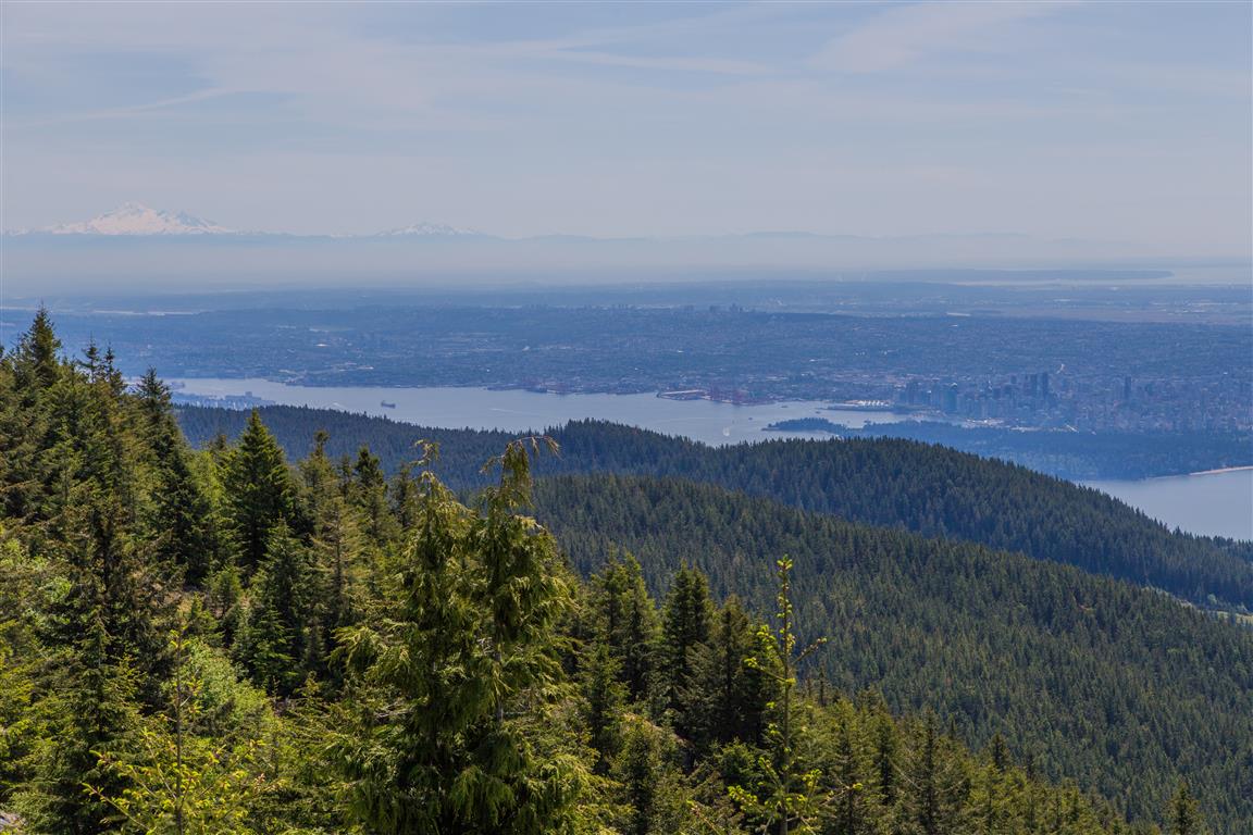
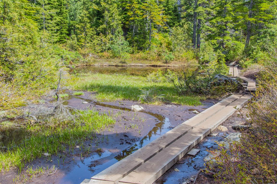
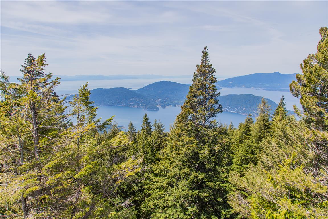
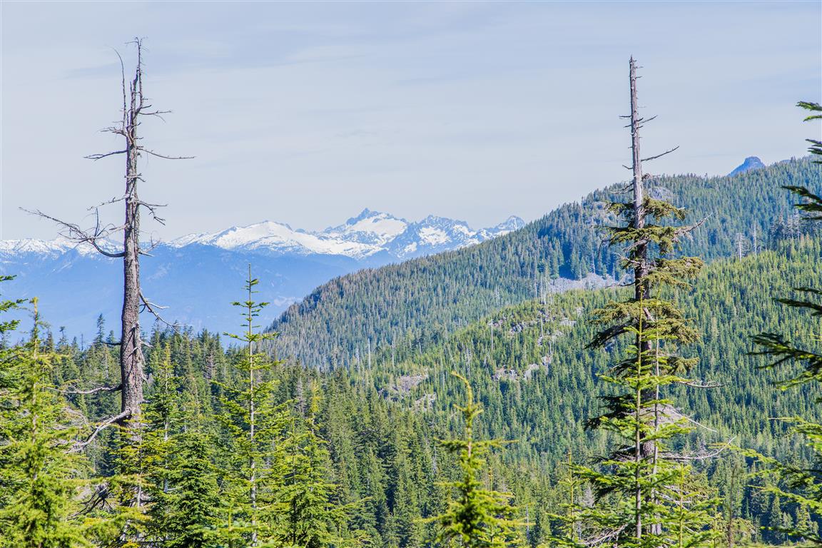
This is a very popular hike. Luckily, I did it on a weekday. On summer weekends, this place can be very busy. After seeing the photos below, you’ll see why! The hike starts at the Cypress Mountain Lodge and follows the Black Mountain Trail for the first bit (so follow signage for Black Mountain). You can add Black Mountain to your trip, but from what I hear, it’s not worth it. But do stop at Cabin Lake — it is a very serene little lake. After Cabin Lake, continue on up the Baden-Powell Trail. For some variety, you can choose to go to Donut Rock, which is shown on the map below — it offers decent, but slightly obstructed views. A little while after the Donut Rock side trail, you will make your descent towards Eagle Bluffs. Eagle Bluffs is a large rock area, with plenty of spots to sit and take in the amazing scenery. On your way back, there is an alternate loop around a couple of lakes, which offer pleasant views. After the lakes loop, continue on the path you came up on and back to the lodge.
Interesting Facts
- The Baden-Powell Trail, which this hike follows for much of its length, is a 48 km trail stretching from Horseshoe Bay to Deep Cove. It was built in 1971 by Boy Scout and Girl Guide troops to mark the 100th anniversary of BC joining Confederation, and is named after Lord Baden-Powell, founder of the worldwide Scouting movement
- Cypress Provincial Park has a contentious history. Public pressure forced the provincial government to set the area aside as a park reserve back in 1944, after logging had already damaged part of the land. It wasn’t formally granted Class A Provincial Park status until 1975, with the park’s boundaries expanded further north in 1982
- The wooden planks you’ll see along the small lake on this trail are “bog bridges,” installed by volunteers with the Friends of Cypress Provincial Park Society and North Shore Wetland Partners, along with runners from the Knee Knackering North Shore Trail Run, to stop foot traffic from damaging the fragile wetlands here
- This trail sits right around the transition between the Coastal Western Hemlock (CWH) and Mountain Hemlock (MH) biogeoclimatic zones, which typically shifts around 900 to 1,000 m elevation on the North Shore mountains
Trail Stats
Here are the stats, not including Donut Rock:
- Distance: 9.2 km (return)
- Time: 4 hours
- Low point: 912 m
- High point: 1,213 m
- Elevation gain: 301 m
- Cumulative elevation gain: 450 m
- Trailhead: 49° 23′ 50.5″ N, 123° 12′ 23″ W (Google Map)
The Route
The actual GPS track from this hike, drawn on the map below. Green marks the start/end point. Use the layer control in the top right to switch to a satellite view.
Photos
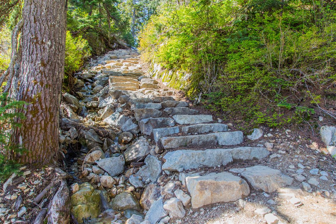
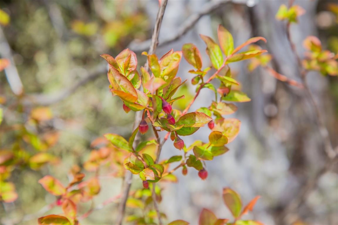
Photos from today (31 May 2016):
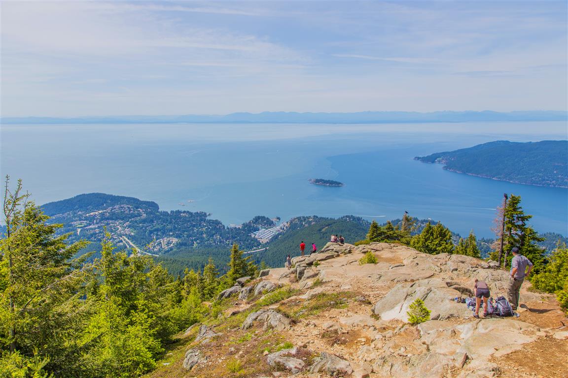
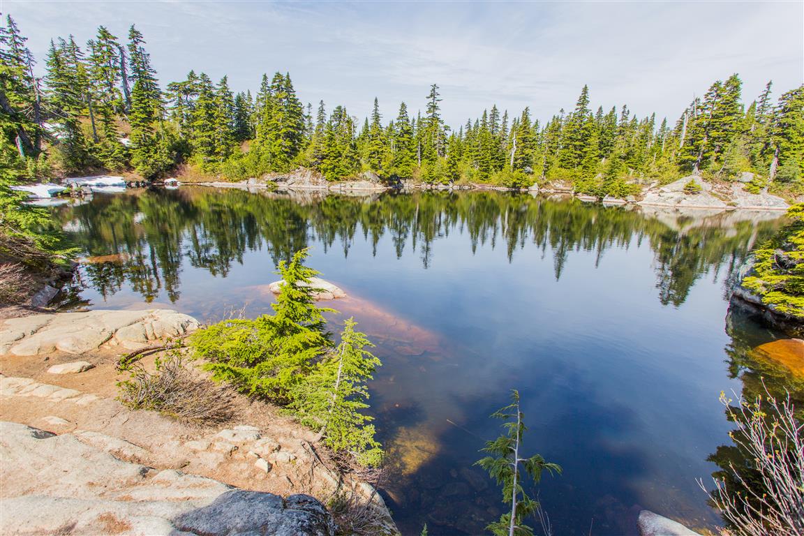
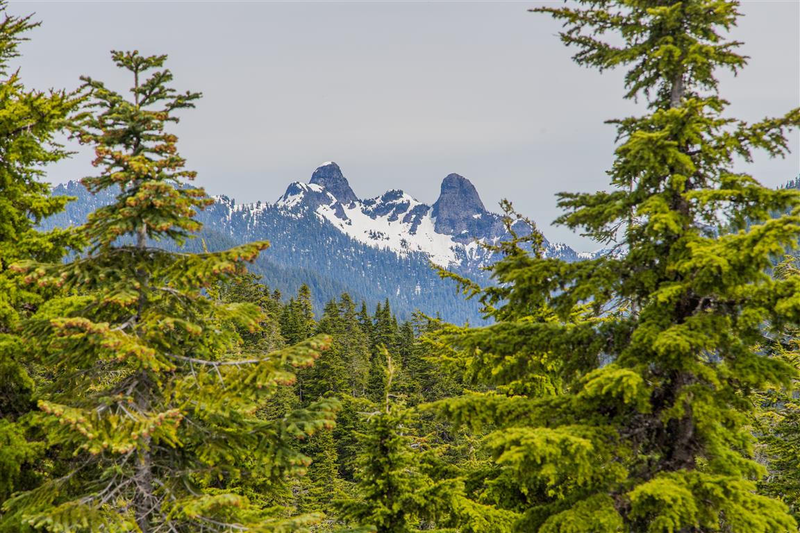
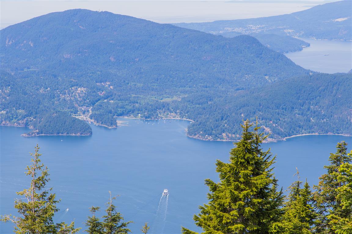
Here’s a video from the Bluffs:
Before You Hike
Before heading out on your hike, make sure you are well prepared. This means having the TEN ESSENTIALS. It is also important to leave a trip plan (route details and estimated return time) with someone you trust.
Bring your smartphone, fully charged, and put it in airplane mode while hiking. I always bring backup battery packs for extra peace of mind. It is highly recommended that you bring a GPS device. I use my smartphone with a GPS app (Backcountry Navigator). The GPS will work in airplane mode. Learn how to use it before your hike.
For anyone new to hiking, there is a rule that hikers follow called “Leave No Trace” or LNT. The concept is generally to pack out what you pack in and respect nature, so all future visitors can enjoy what you have enjoyed. To learn more about LNT, please check out this blog by a certified LNT Trainer.