The trail to Admiralty Point is accessed from the Belcarra Picnic area in Belcarra Regional Park. Admiralty Point Trail is in an adjoining park, named Admiralty Point Park. This park became a National Park in 2014. Let me explain…
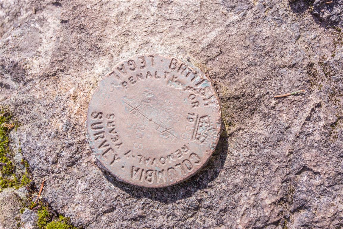
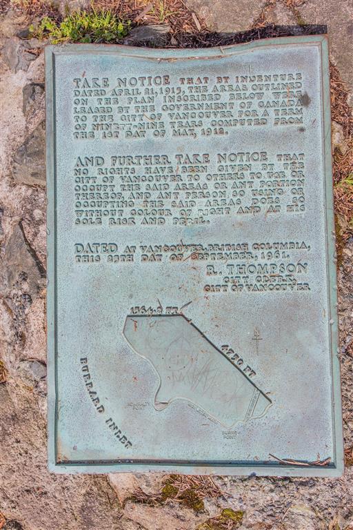
The federal government originally signed a 99-year lease with the City of Vancouver back in 1912 to keep the lands for park purposes. The lands were then handed over to the Greater Vancouver Regional District — now Metro Vancouver — but the lease ran out in 2011.
The federal government chose not to renew the lease and instead brought the land into Parks Canada’s own inventory, protecting it permanently as federal parkland — voila! Protected by Parks Canada! The park remains administered by Metro Vancouver.
Annual funding from the federal government goes toward general maintenance of the park for items such as trail maintenance, fire prevention, and garbage collection. The lands also play a part in Port Moody’s history. Col. R.C. Moody, for whom the city of Port Moody is named, established the Admiralty Point Military Reserve there in 1860.
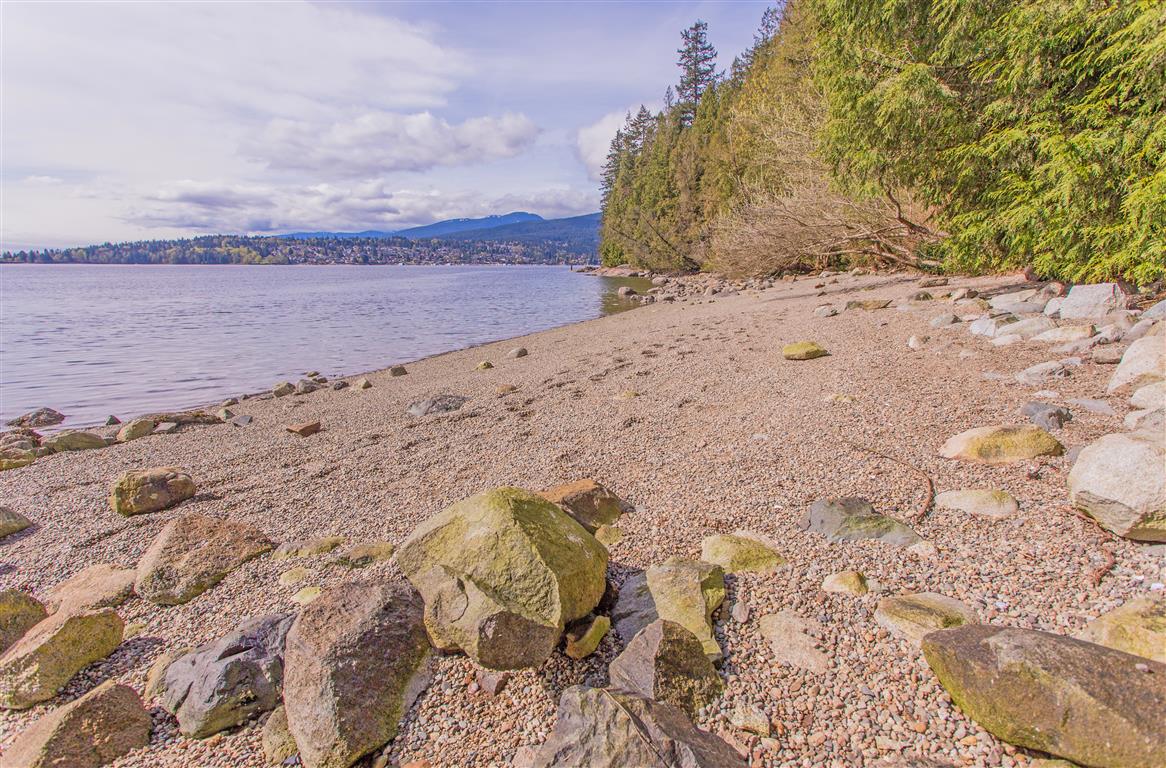
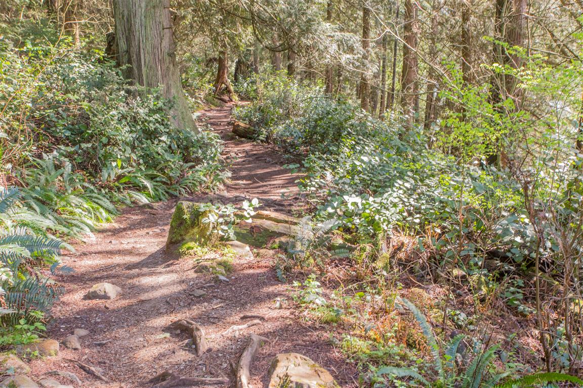
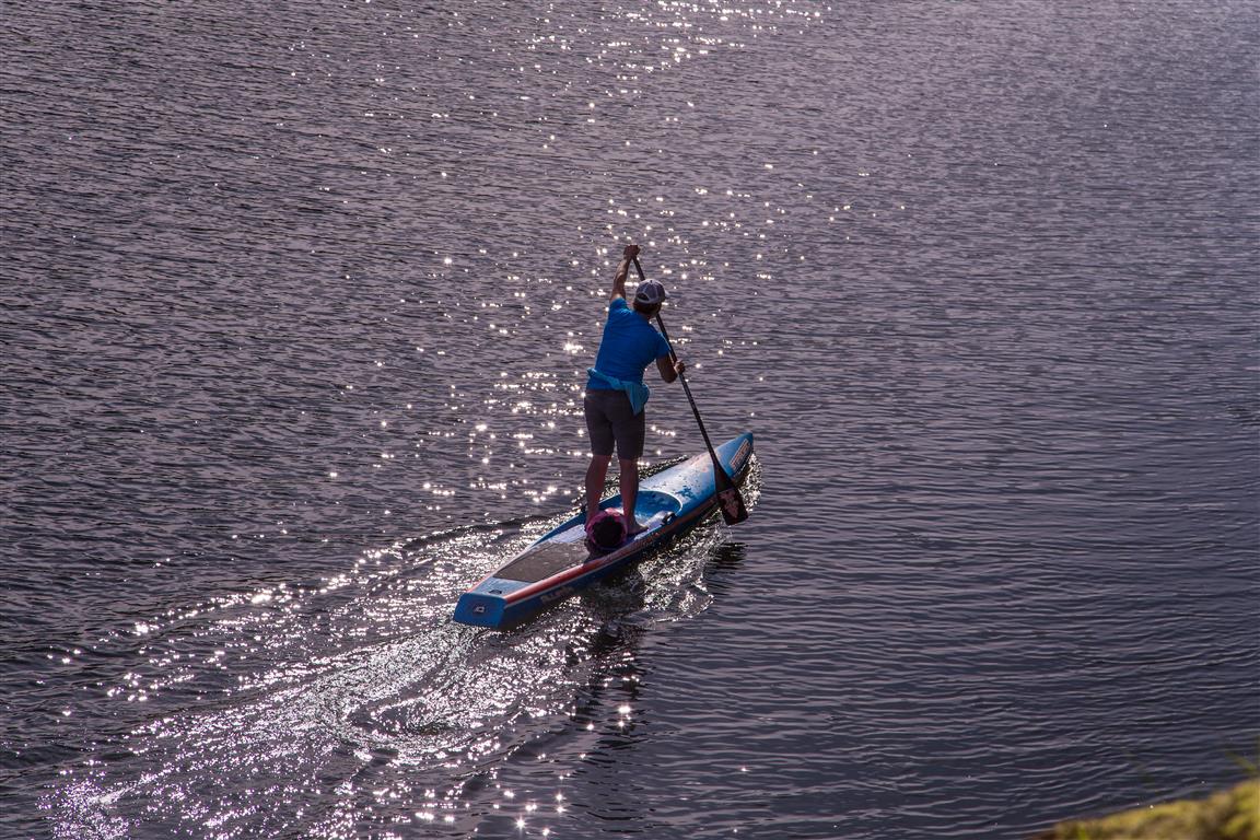
The trail winds around the shoreline, offering many spectacular views along the way.
More Interesting Facts
- Col. Moody saw the strategic value in this exact spot, since it overlooks the junction of Burrard Inlet, Port Moody Arm, and Indian Arm all at once, making it an ideal position for a cannon to guard the approach to the colonial capital of New Westminster
- The name “Admiralty Point” itself wasn’t formally chosen until 1940, when it was suggested by Major J.S. Matthews of the Vancouver City Archives. Locally, the area had simply been known as the “Admiralty reserve” since the 1800s naval survey days
- Nearby Belcarra takes its name from Belcarra (Ballycarra) in County Mayo, Ireland. The area’s first European settler, lawyer William Norman Bole, received the land as payment for legal defence work and named it after his home village. Belcarra was officially twinned with its Irish namesake in 2007
Trail Stats
The stats below are to the end (Burns Point) and back:
- Distance: 6 km
- Time: 2 hours (with breaks and exploring)
- Low point: 2 m
- High point: 33 m
- Elevation gain: 31 m
- Parking: 49° 18′ 44.2″ N, 122° 55′ 31.4″ W (click for Google Map and navigation)
- Trailhead: 49° 18′ 42.8″ N, 122° 55′ 32″ W (click for Google Map and navigation)
Tip for mobile users: long-press the “Google Map and navigation” link for the option to open in the maps app.
The Route
The actual GPS track from this walk, drawn on the map below. Green marks the start/end point. Use the layer control in the top right to switch to a satellite view.
Photos
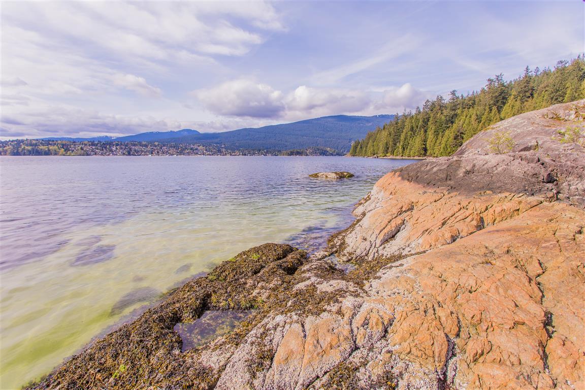
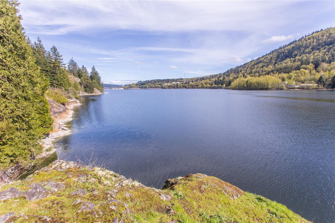
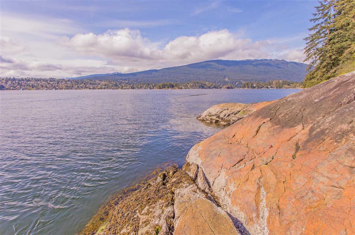
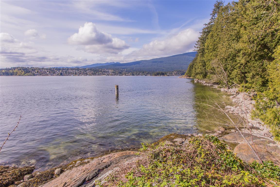
Some genuinely superb content on this website, thanks for contribution. “Give me the splendid silent sun with all his beams full-dazzling.” by Walt Whitman.
But wanna comment on few general things, The website layout is perfect, the subject material is really superb : D.
Hi there! I know this is kinda off topic but I was wondering if you knew where I could find a captcha plugin for my comment form? I’m using the same blog platform as yours and I’m having problems finding one? Thanks a lot!
naturally like your website however you have to check the spelling on several of your posts. Several of them are rife with spelling problems and I to find it very bothersome to tell the truth on the other hand I will surely come back again.
Hide copyright information Copyright Ringworm is a common fungal infection of the skin. https://saleviabuy.com how much viagra should i
take the first time?
Be Clear, Objective and Persistent when describing symptoms and
insist on the best care for your heart. cheap generic viagra co uk kamagra oral jelly 100mg generic
viagra paypal
It is a free, confidential call. online cheap viagra canadian pharmacy viagra online
One study of more than 600 pregnant women found that
over 16 percent reported symptoms of RLS. generic viagra online canadian pharmacy viagra online cheap
I am constantly invstigating online for articles that can benefit me. Thx!
I was studying some of your articles on this internet site and I think this internet site is really instructive! Keep on putting up.
You can certainly see your enthusiasm within the work you write. The arena hopes for more passionate writers like you who are not afraid to say how they believe. Always go after your heart. “The most profound joy has more of gravity than of gaiety in it.” by Michel de Montaigne.
Some truly prize blog posts on this internet site, bookmarked.
I got what you intend,saved to bookmarks, very decent site.