Alder Flats at Golden Ears Provincial Park is known as a resting stop prior to ascending Golden Ears peak. The views just above Alder Flats are amazing. This hike ends at a clearing about 100 m over the Alder Flats campsite. The clearing allows for amazing views of Golden Ears. This is one of many great hikes in Golden Ears Provincial Park. With the addition of the new bridge over Gold Creek, it is possible to do this hike in a loop, which is what we did today. We left cars at both the East and West Canyon trailheads. We started up the Lower Falls Trail (which parallels the East Canyon Trail); we then headed through a rugged trail, which is sparsely marked, but then made it up to East Canyon Trail. Shortly thereafter, we crossed the new bridge and started making some elevation gain. About an hour later, we were at Alder Flats. The viewpoint above Alder Flats is a short hike a little further up.
Interesting Facts
- That new bridge over Gold Creek was over 20 years in the making. It was championed by the Ridge Meadows Outdoor Club and cost about $80,000, finally getting built after longtime park advocate John Hume and local MLAs secured the funding in 2013
- There was actually an older logging bridge at this exact crossing, built before the Second World War. It deteriorated and collapsed sometime in the 1960s, after which hikers had to reach Alder Flats via the West Canyon Trail only, making the my loop impossible until the new bridge went in. The new bridge reuses the original concrete pillar from that earlier structure
- Golden Ears Provincial Park was established in 1927, originally as part of Garibaldi Provincial Park, and is named after the twin peaks of Mount Blanshard near the park’s western boundary
- This trail passes through both the Coastal Western Hemlock (CWH) zone at lower elevations and begins transitioning toward the Mountain Hemlock (MH) zone near its higher points above Alder Flats
Trail Stats
- Distance: 13.4 km
- Time: 5 hours (including rests)
- Low point: 151 m
- High point: 585 m
- Elevation gain: 543 m
- Cumulative elevation gain: 875 m
- East Canyon Trailhead: 49° 20′ 0″ N, 122° 27′ 26.5″ W (Google Map)
- West Canyon Trailhead: 49° 19′ 38.5″ N, 122° 27′ 46″ W (Google Map)
The Route
The actual GPS track from this hike, drawn on the map below. Green marks the start point and red marks the end point, since this was a one-way loop between the two trailheads. Use the layer control in the top right to switch to a satellite view.
Photos
Golden Ears Peak from viewpoint over Alder Flats:
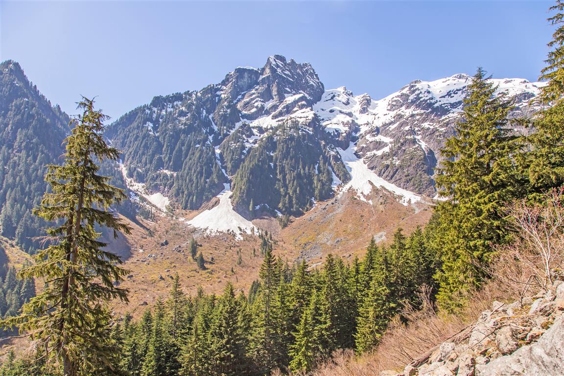
Viewpoint over Alder Flats:
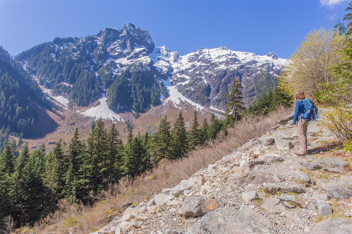
Creek at Alder Flats:
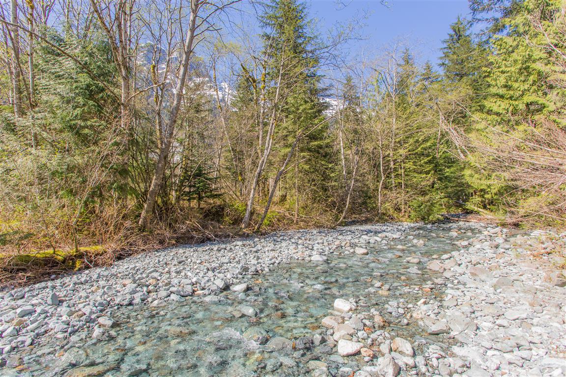
Gold Creek bridge:
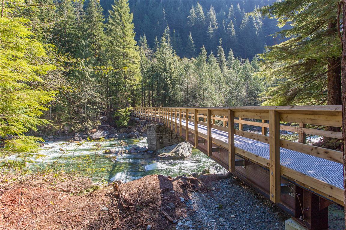
Gold Creek from the bridge:
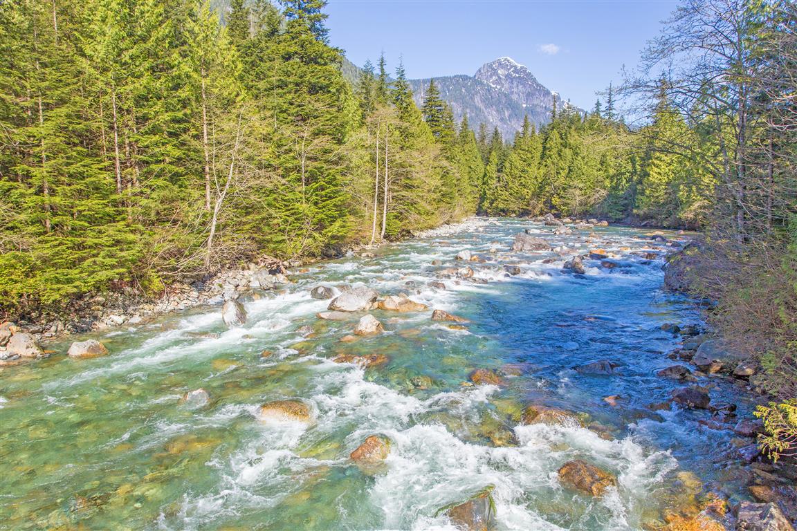
Gold Creek viewpoint on West Canyon Trail:
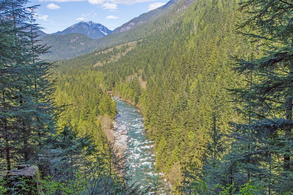
Gold Creek:
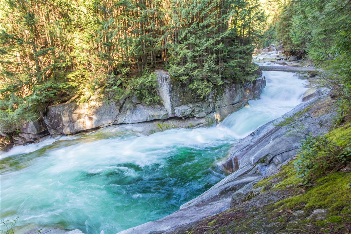
Golden Ears up close:
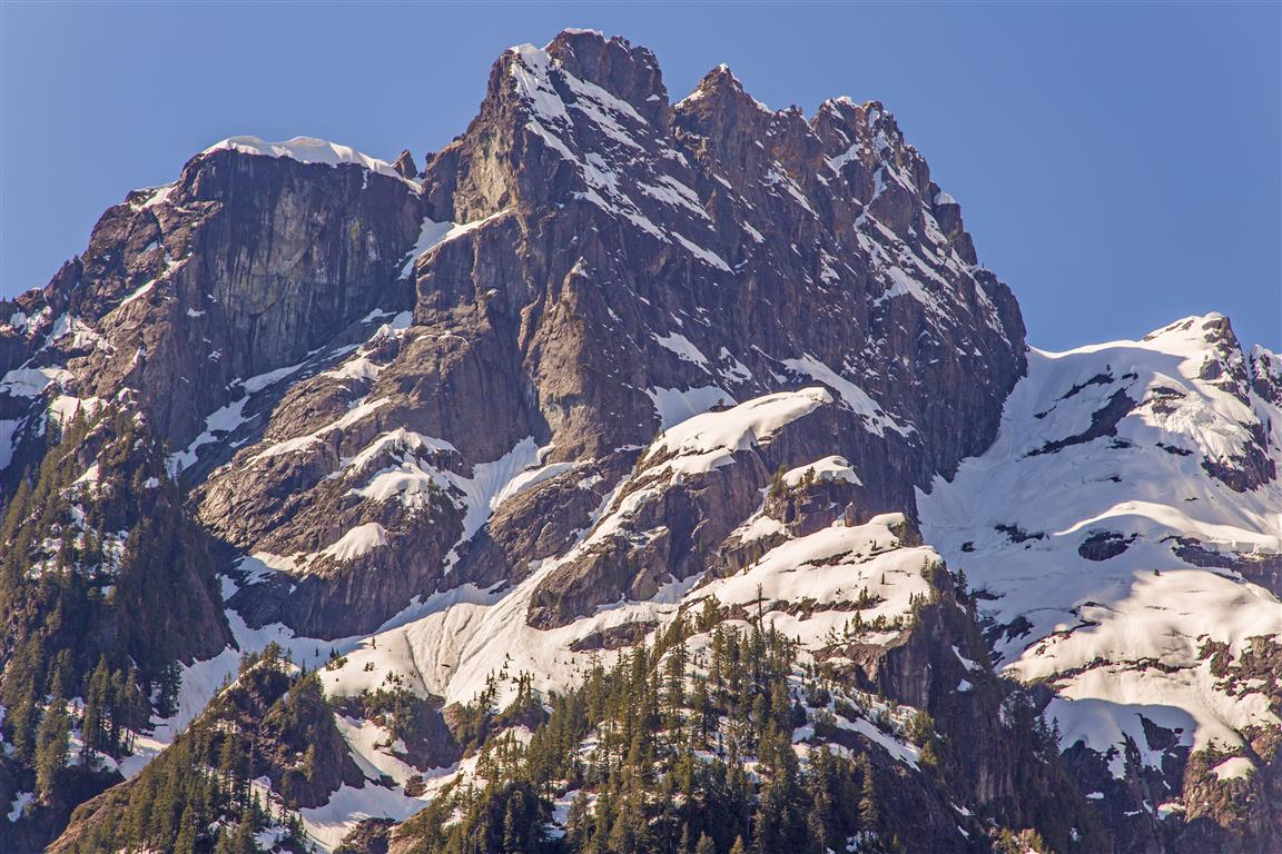
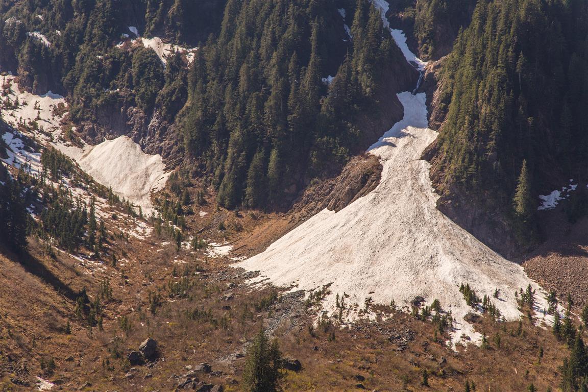
Snowfields:
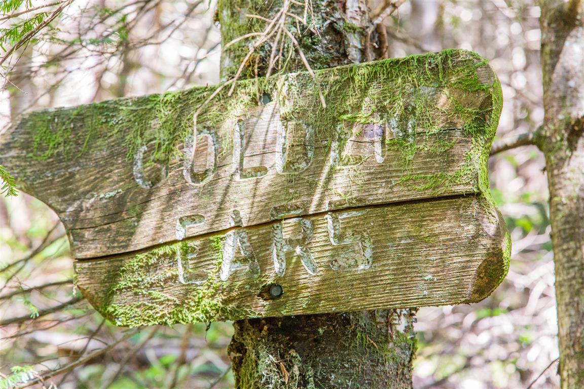
An old sign:
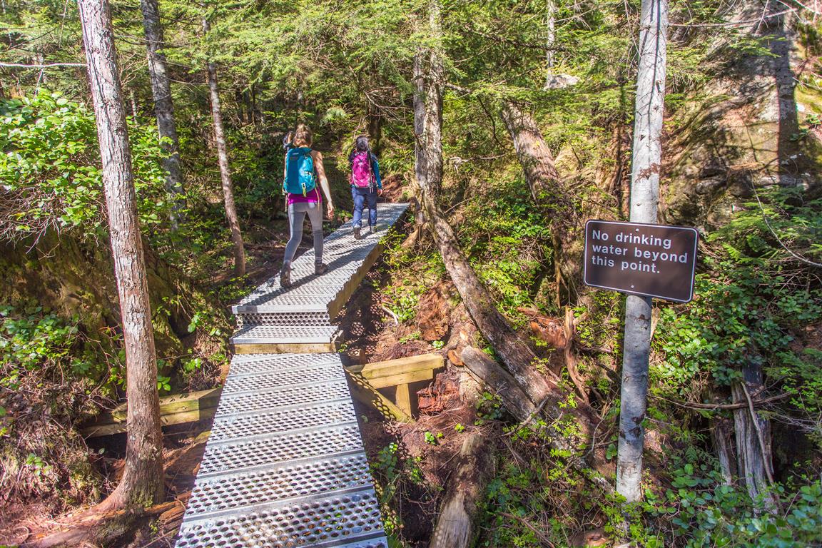
There are many small bridges:
Before You Hike
Before heading out on your hike, make sure you are well prepared. This means having the TEN ESSENTIALS. It is also important to leave a trip plan (route details and estimated return time) with someone you trust.
Bring your smartphone, fully charged, and put it in airplane mode while hiking. I always bring backup battery packs for extra peace of mind. It is highly recommended that you bring a GPS device. I use my smartphone with a GPS app (Backcountry Navigator). The GPS will work in airplane mode. Learn how to use it before your hike.
For anyone new to hiking, there is a rule that hikers follow called “Leave No Trace” or LNT. The concept is generally to pack out what you pack in and respect nature, so all future visitors can enjoy what you have enjoyed. To learn more about LNT, please check out this blog by a certified LNT Trainer.