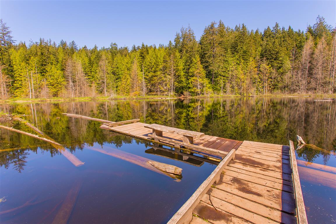
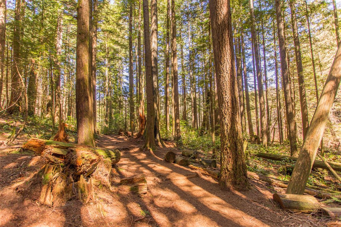
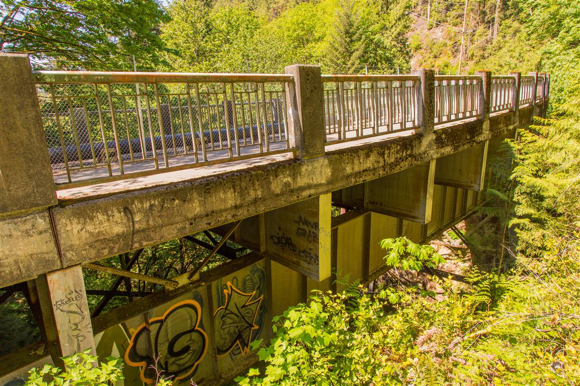
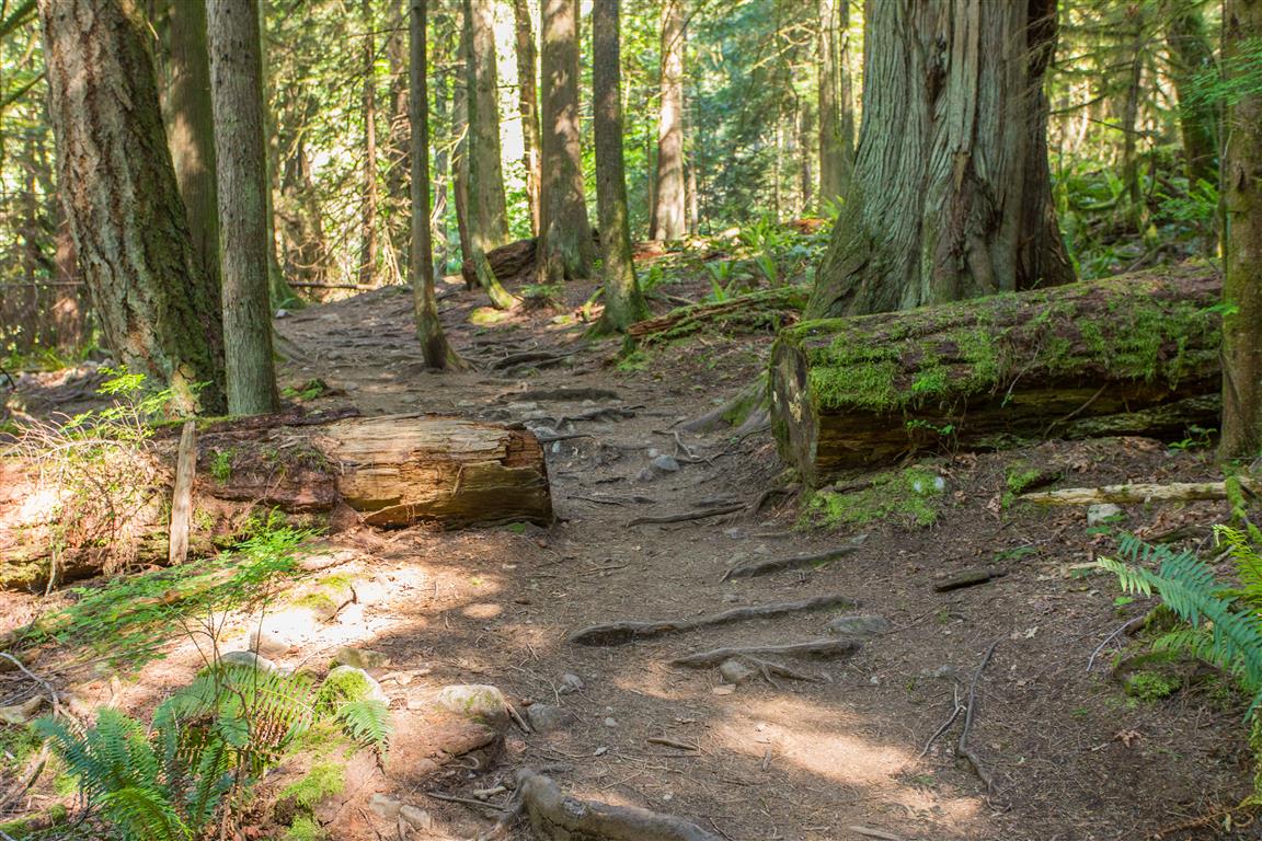
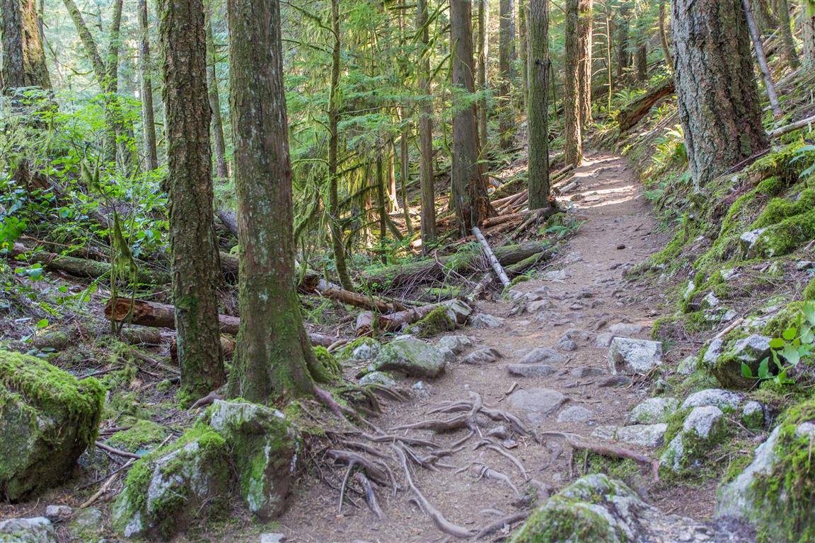
The Whyte Lake trail is an easy hike that starts from near the Nelson Creek Bridge (Trans-Canada Highway) in West Vancouver. There is a nice little parking lot just for this hike (see location below for parking and trailhead location). After passing under the bridge, you will pass a reservoir and start into the forest. The hike is mostly uphill all the way to the lake, which is only 2.5 km away. The trail follows the east side of the Nelson Creek Ravine; as you head north, the ravine gets noticeably smaller. The trail is well established and easy to follow. Today, I completed the hike in a loop (I chose a different way down), but most people will return the same way. With the loop I did, there is a little more elevation gain and the trail isn’t marked (but it is easy to follow, assuming no snow on the ground). There is a tree-obstructed view of Howe Sound from a small branch off the loop trail.
Interesting Facts
- Whyte Lake is named after Colonel Albert Whyte (1847 to 1939), a West Vancouver councillor and the developer behind nearby Whytecliff Park
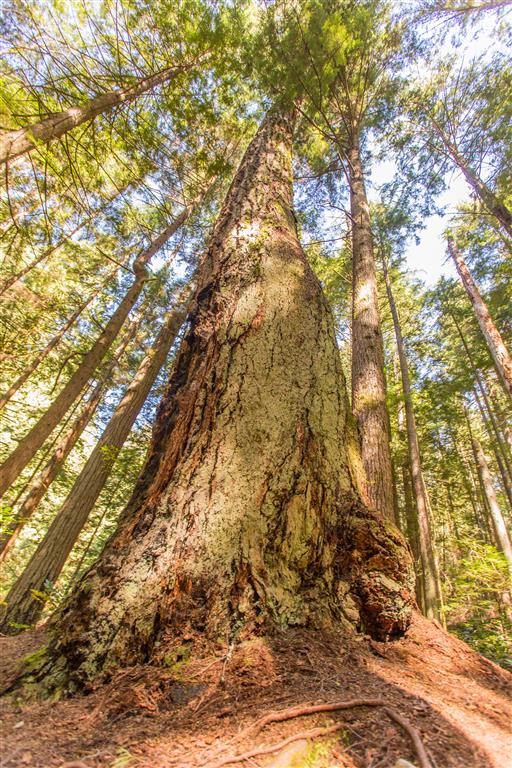
- The trail passes through groves of old-growth Western red cedar and Douglas fir, some of which predate the surrounding development by centuries
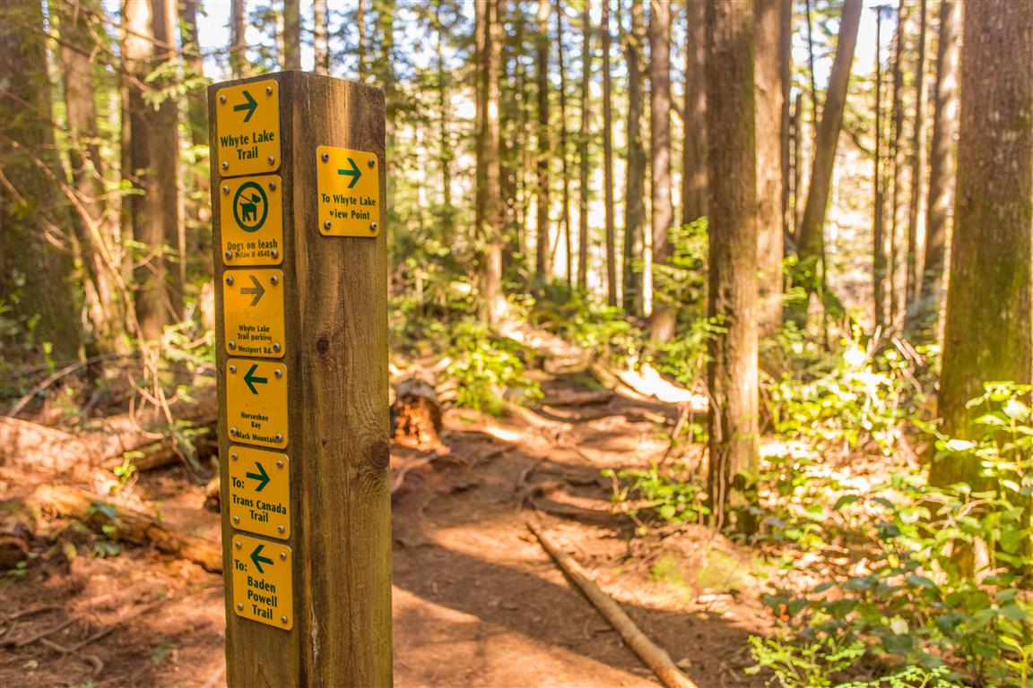
- The Whyte Lake Trail connects into both the historic Baden-Powell Trail and the Trans Canada Trail, and much of the current trail and signage in this area was completed around the time of highway reconfiguration ahead of the 2010 Winter Olympics
- Sitting at a low elevation close to Howe Sound, this trail is within the dry maritime subzone of the Coastal Western Hemlock (CWHdm) biogeoclimatic zone, typical of this part of the North Shore
Trail Stats
Here are the stats for the loop, or return on the same trail:
- Distance: 6.2 km (loop) / 5.0 km (same trail)
- Time: 2 hours (lots of breaks)
- Low point: 96 m
- High point: 343 m
- Elevation gain: 247 m
- Calories burned: 600
- Trailhead: 49° 21′ 40″ N, 123° 15′ 34.5″ W (Google Map)
The Route
The actual GPS track from this hike, drawn on the map below. Green marks the start/end point. Use the layer control in the top right to switch to a satellite view.
Photos


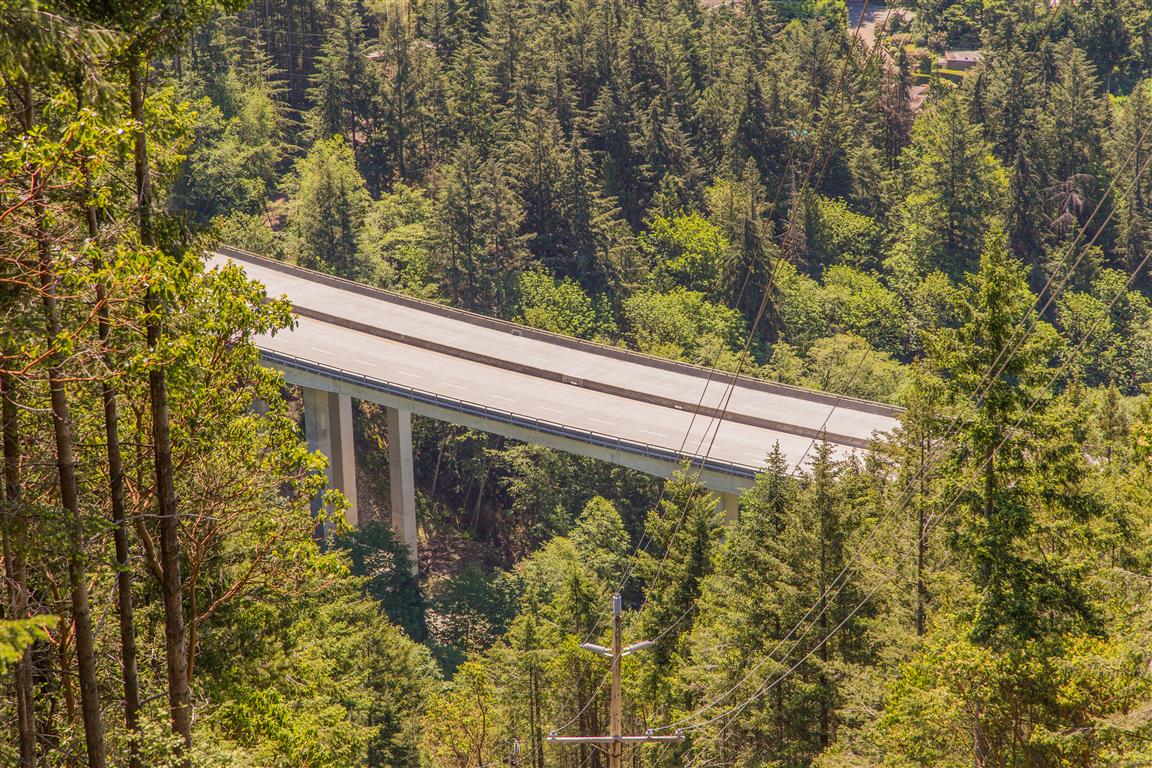
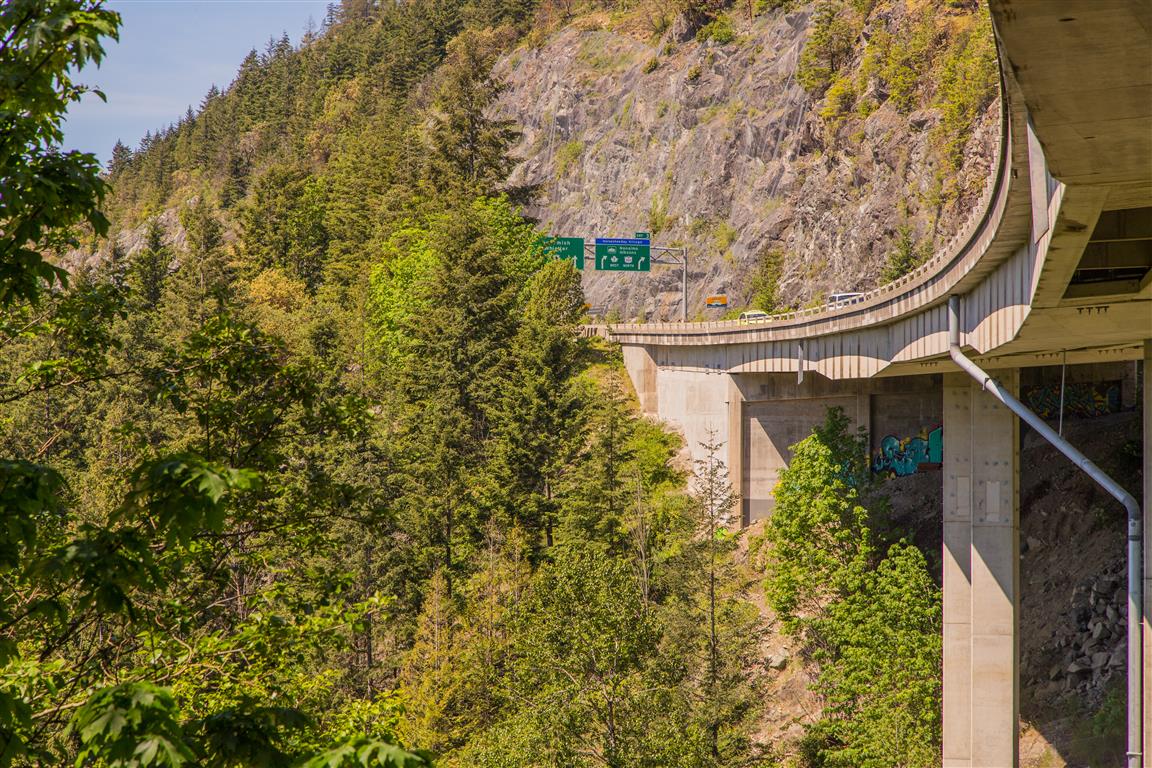
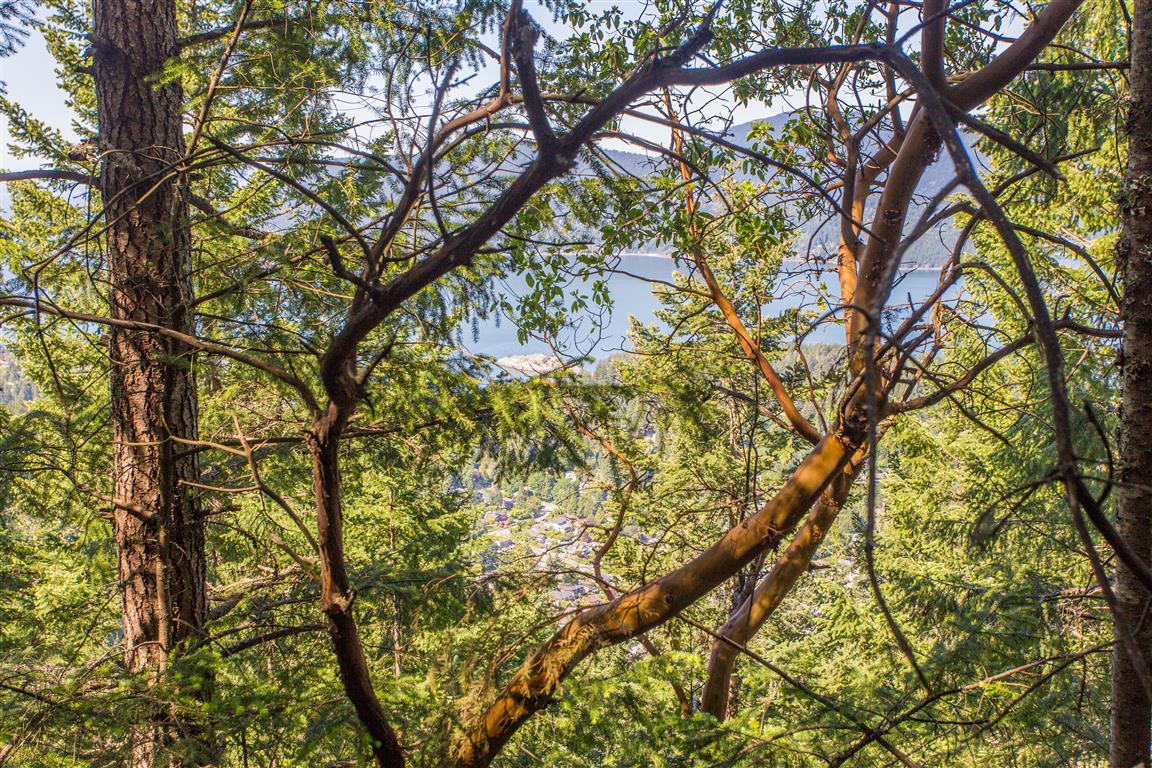
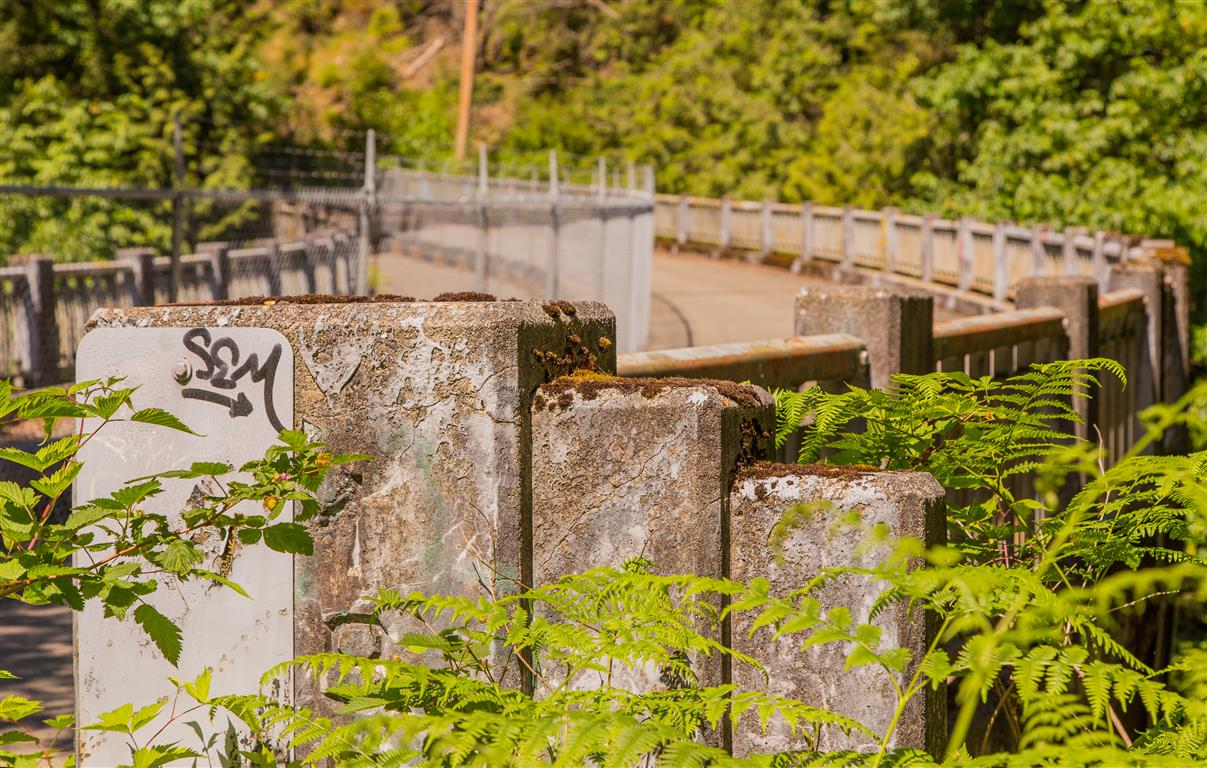
Before You Hike
Before heading out on your hike, make sure you are well prepared. This means having the TEN ESSENTIALS. It is also important to leave a trip plan (route details and estimated return time) with someone you trust.
Bring your smartphone, fully charged, and put it in airplane mode while hiking. I always bring backup battery packs for extra peace of mind. It is highly recommended that you bring a GPS device. I use my smartphone with a GPS app (Backcountry Navigator). The GPS will work in airplane mode. Learn how to use it before your hike.
For anyone new to hiking, there is a rule that hikers follow called “Leave No Trace” or LNT. The concept is generally to pack out what you pack in and respect nature, so all future visitors can enjoy what you have enjoyed. To learn more about LNT, please check out this blog by a certified LNT Trainer.