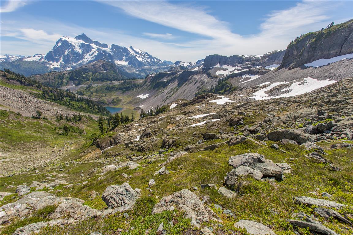
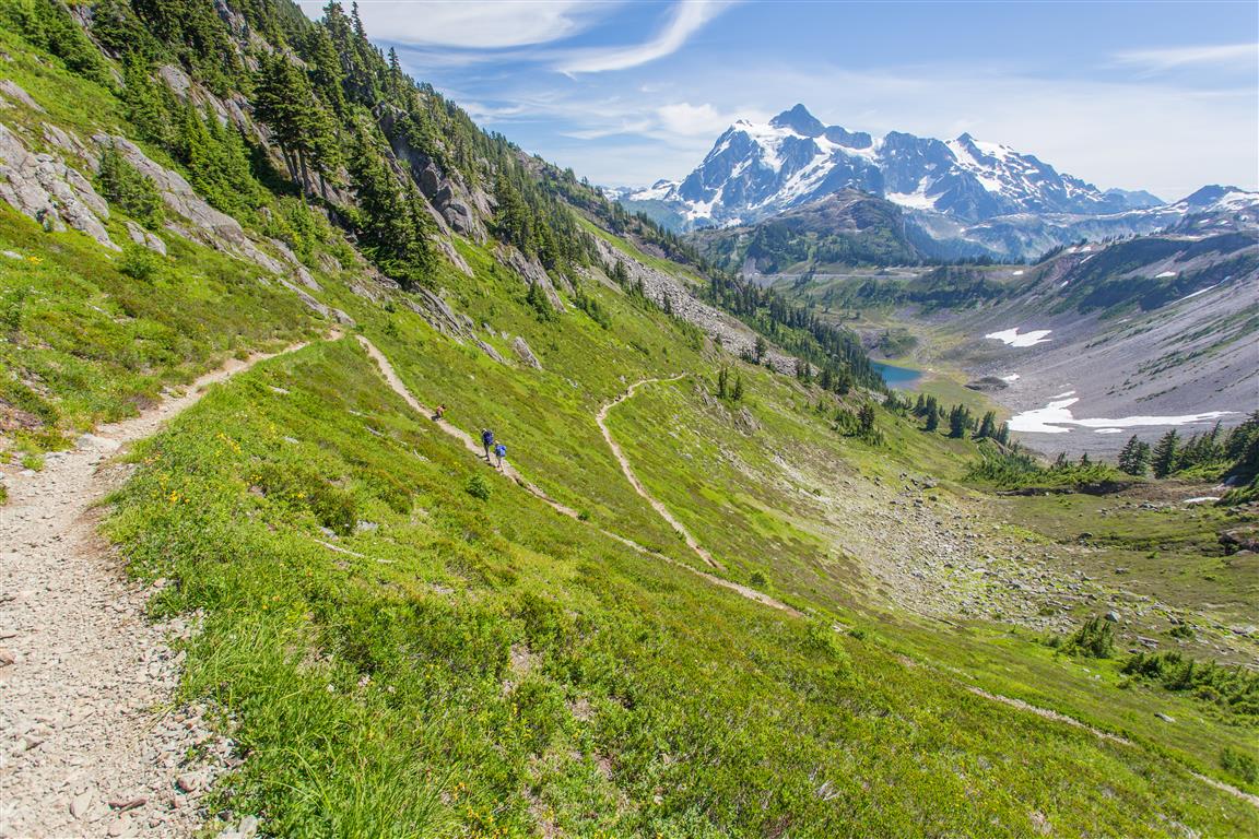
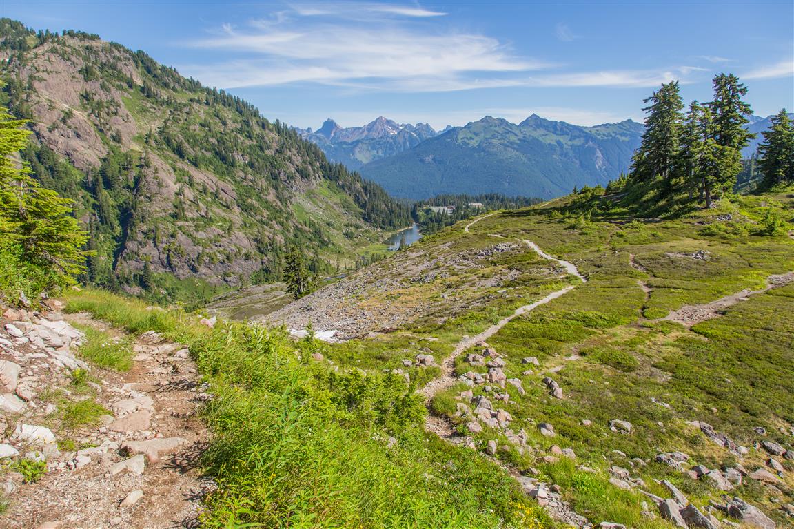
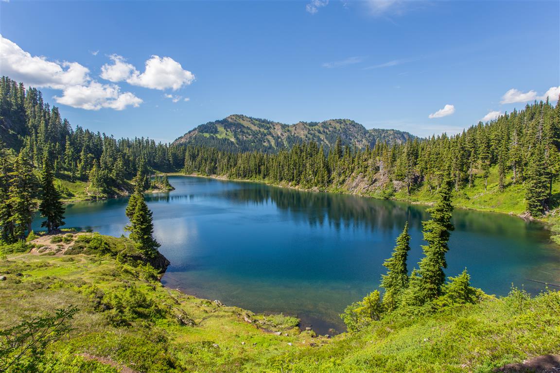
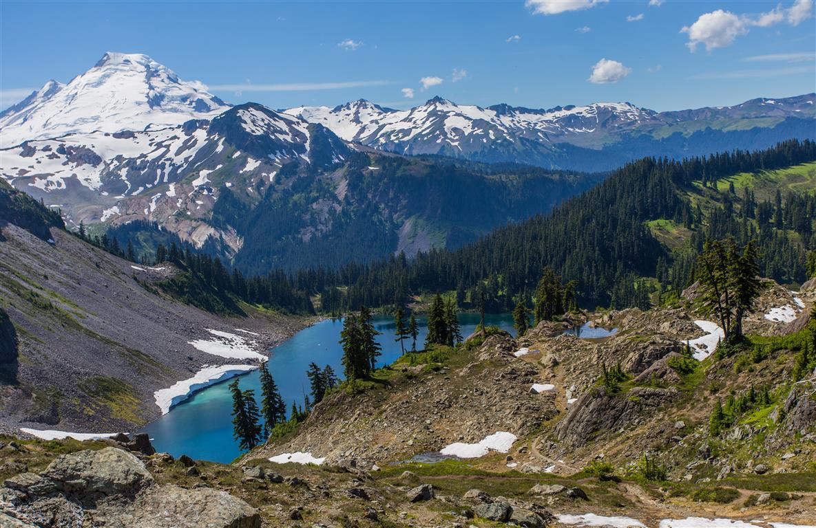
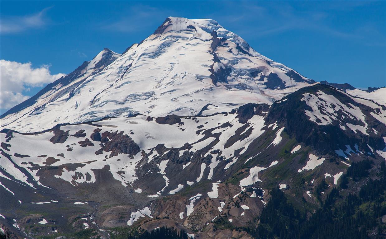
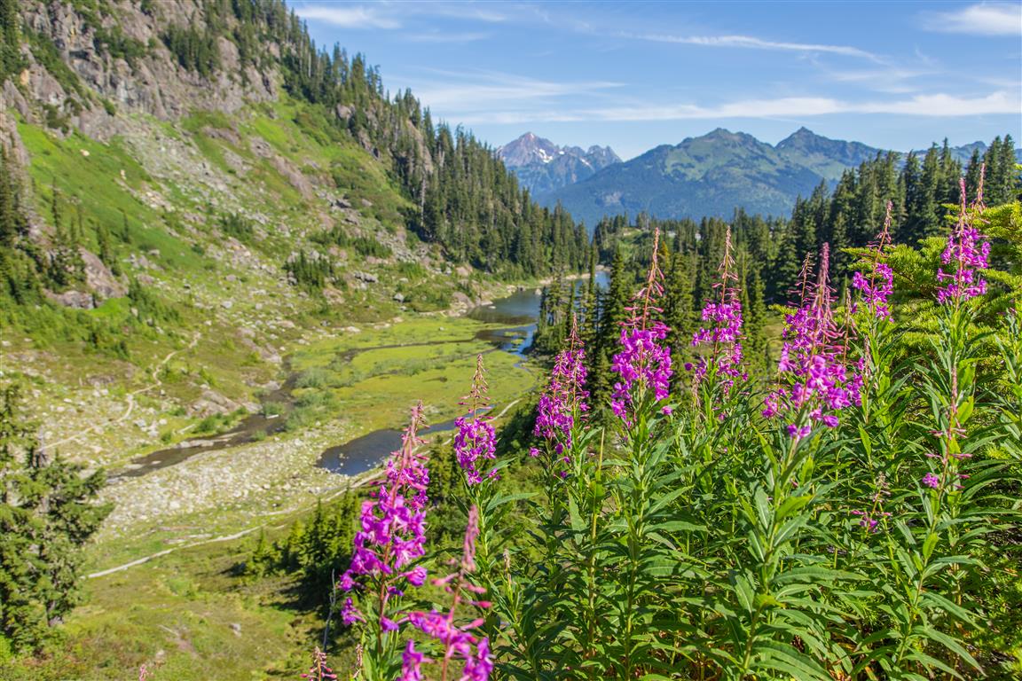
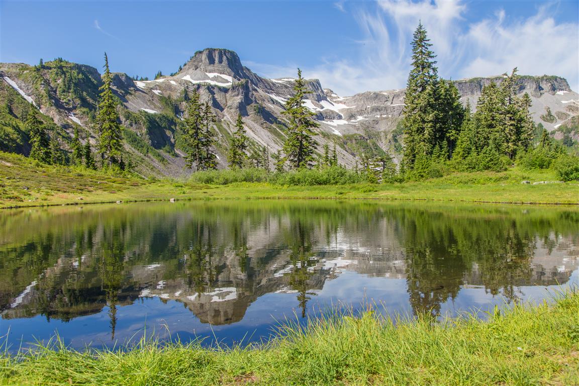
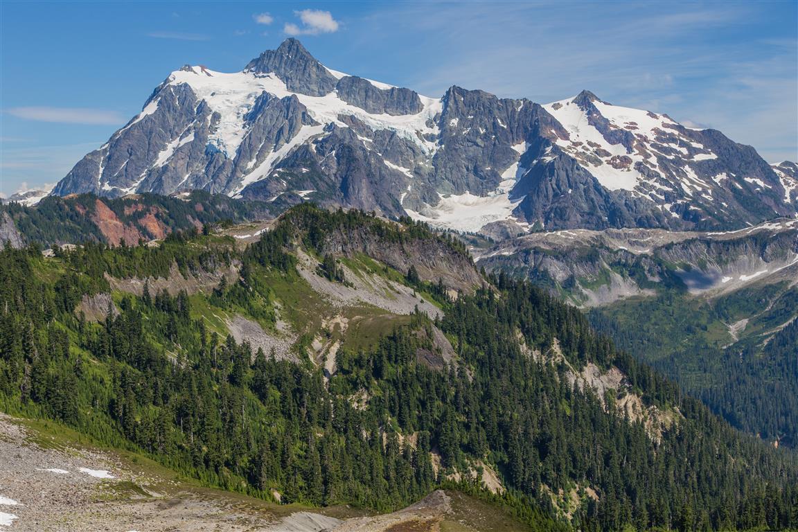
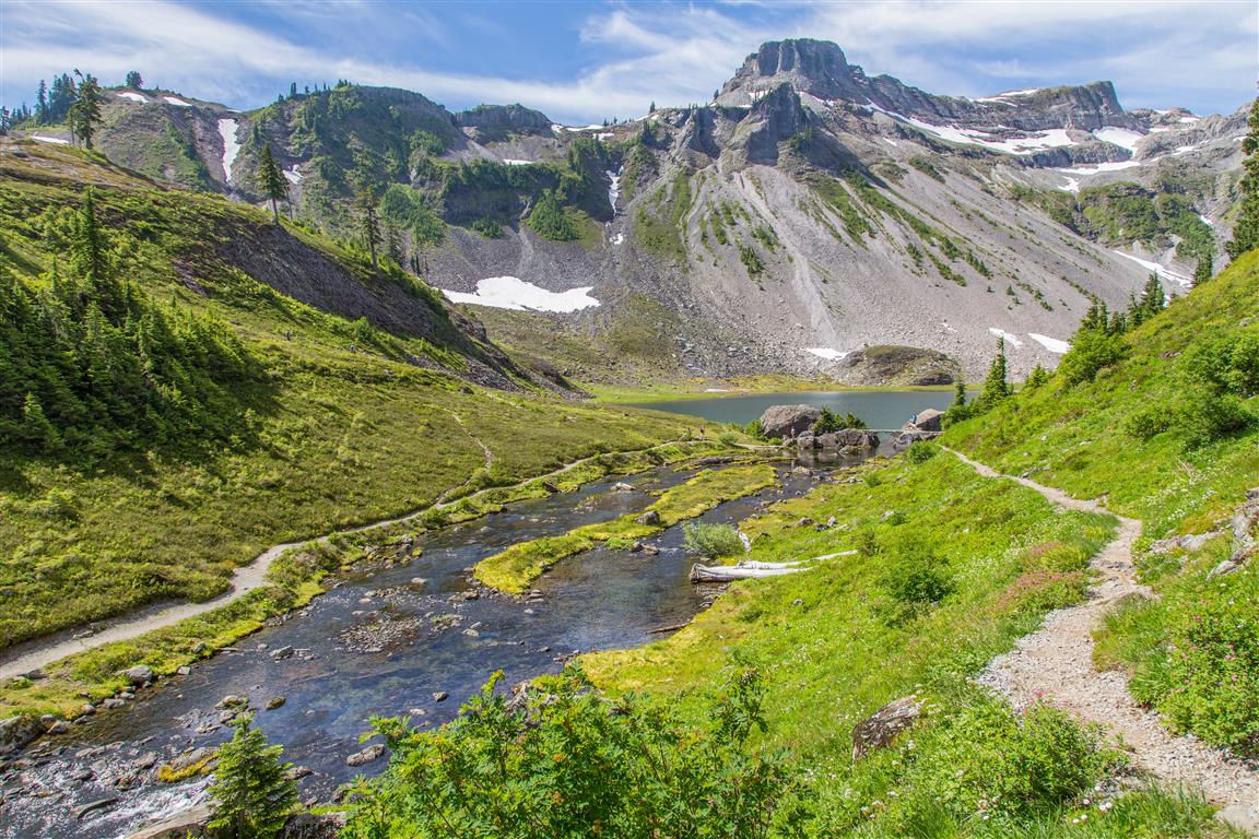
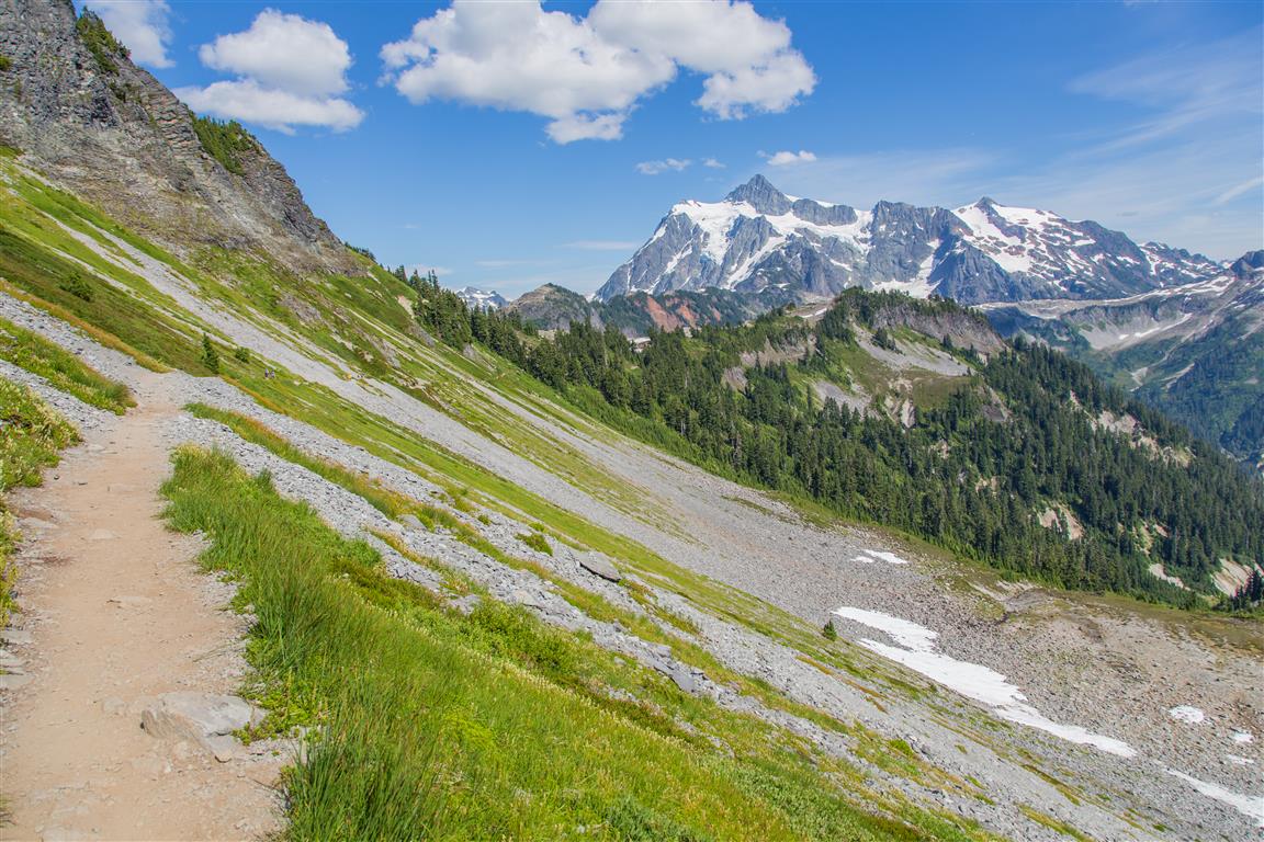
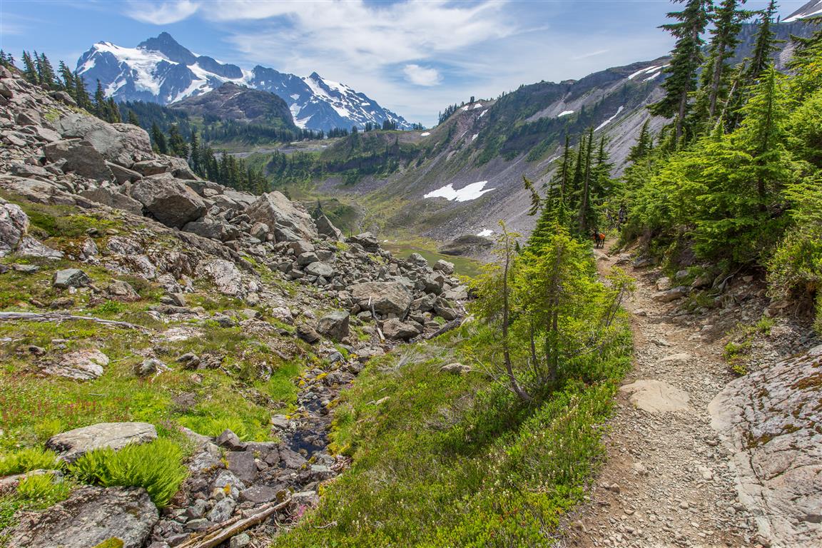
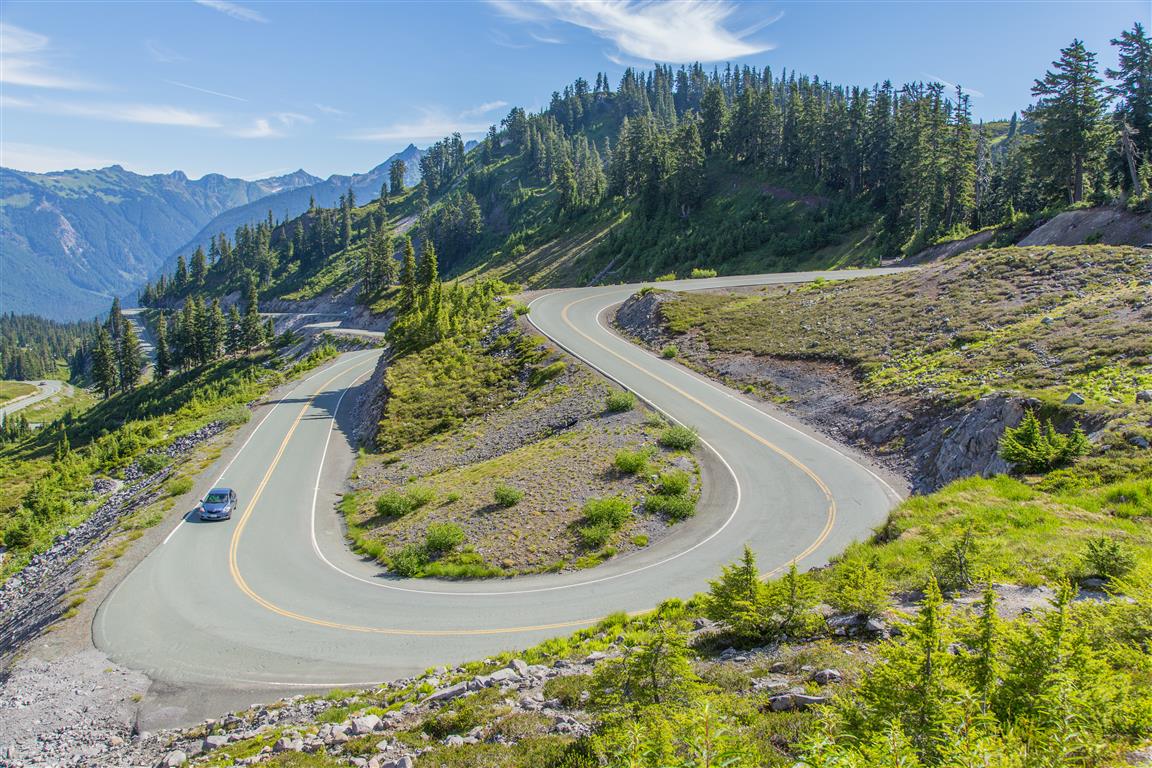
There are a few variations of this hike. We started at Artist Point, descended to Heather Meadows via the Wild Goose Trail and looped around Northern Bagley Lake, before starting our ascent up through Herman Saddle. 95% of the hike was bug-free (only some around Chain Lakes). Only very minor snow (almost not even worth mentioning). This hike is amazing, as are most Mt. Baker area hikes — the views are non-stop! This was a sunny Saturday, and there were many people on the trail, but not so much that it deterred from our enjoyment. There was only some snow on the shore of Iceberg Lake — some of which apparently recently broke off and made icebergs (info from a camper at the lake). I definitely recommend this hike, and I will go back for sure!
The trailhead for the Wild Goose Trail is just behind the washrooms.
Permits & Border Crossing
Or you can buy an ePass in advance online at the Discover Your Northwest website.
Border crossing tips: bring your passport, Nexus, or enhanced ID. No fruit, no vegetables, no meat (this isn’t a complete list). Trail mix is okay.
A great resource for current conditions for this hike is the WTA website. Check it out!
Interesting Facts
- This entire hike sits within the subalpine zone of the North Cascades, generally defined as the band between about 1,200 and 2,100 m elevation, which lines up closely with this trail’s range of 1,259 to 1,654 m
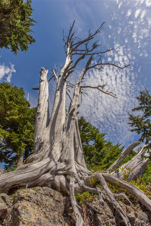
- Some of the mountain hemlock trees in the Heather Meadows area are estimated to be around 900 years old, remarkably old for trees growing in such a harsh, high-elevation environment
- The US Forest Service has run restoration projects in the Heather Meadows and Artist Point area to repair meadow damage caused by foot traffic, including installing low barriers to keep hikers from cutting across sensitive vegetation
Trail Stats
Today’s stats:
- Distance: 10.7 km
- Time: 6 hours
- Low point: 1,259 m
- High point: 1,654 m
- Elevation gain: 395 m
- Cumulative elevation gain: 725 m
The Route
The actual GPS track from this hike, drawn on the map below. Green marks the start/end point. Use the layer control in the top right to switch to a satellite view.
Photos
Before You Hike
Before heading out on your hike, make sure you are well prepared. This means having the TEN ESSENTIALS. It is also important to leave a trip plan (route details and estimated return time) with someone you trust.
Bring your smartphone, fully charged, and put it in airplane mode while hiking. I always bring backup battery packs for extra peace of mind. It is highly recommended that you bring a GPS device. I use my smartphone with a GPS app (Backcountry Navigator). The GPS will work in airplane mode. Learn how to use it before your hike.
For anyone new to hiking, there is a rule that hikers follow called “Leave No Trace” or LNT. The concept is generally to pack out what you pack in and respect nature, so all future visitors can enjoy what you have enjoyed. To learn more about LNT, please check out this blog by a certified LNT Trainer.