This hike is located in the Black Mountain neighbourhood, Kelowna, about 10 km east of Okanagan Lake.
Getting There
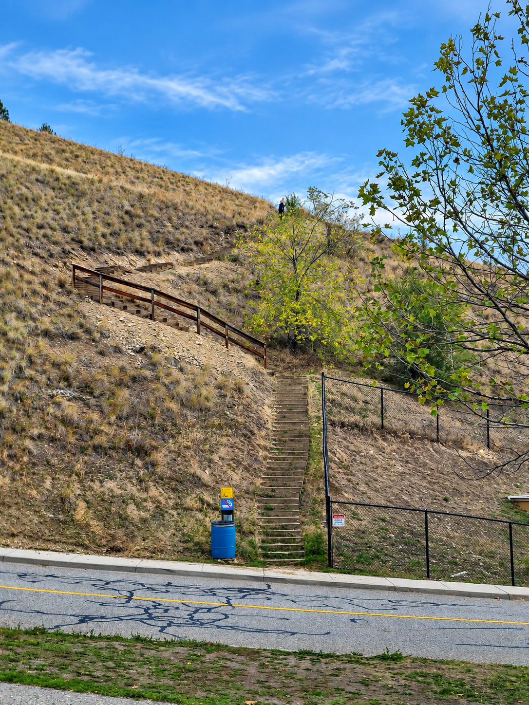
The trailhead is here: Stockley Open Space Trailhead. There’s no parking on the street right at the trailhead, so I parked in a nearby residential neighbourhood, here: parking location. Please park considerately and follow any posted signs.
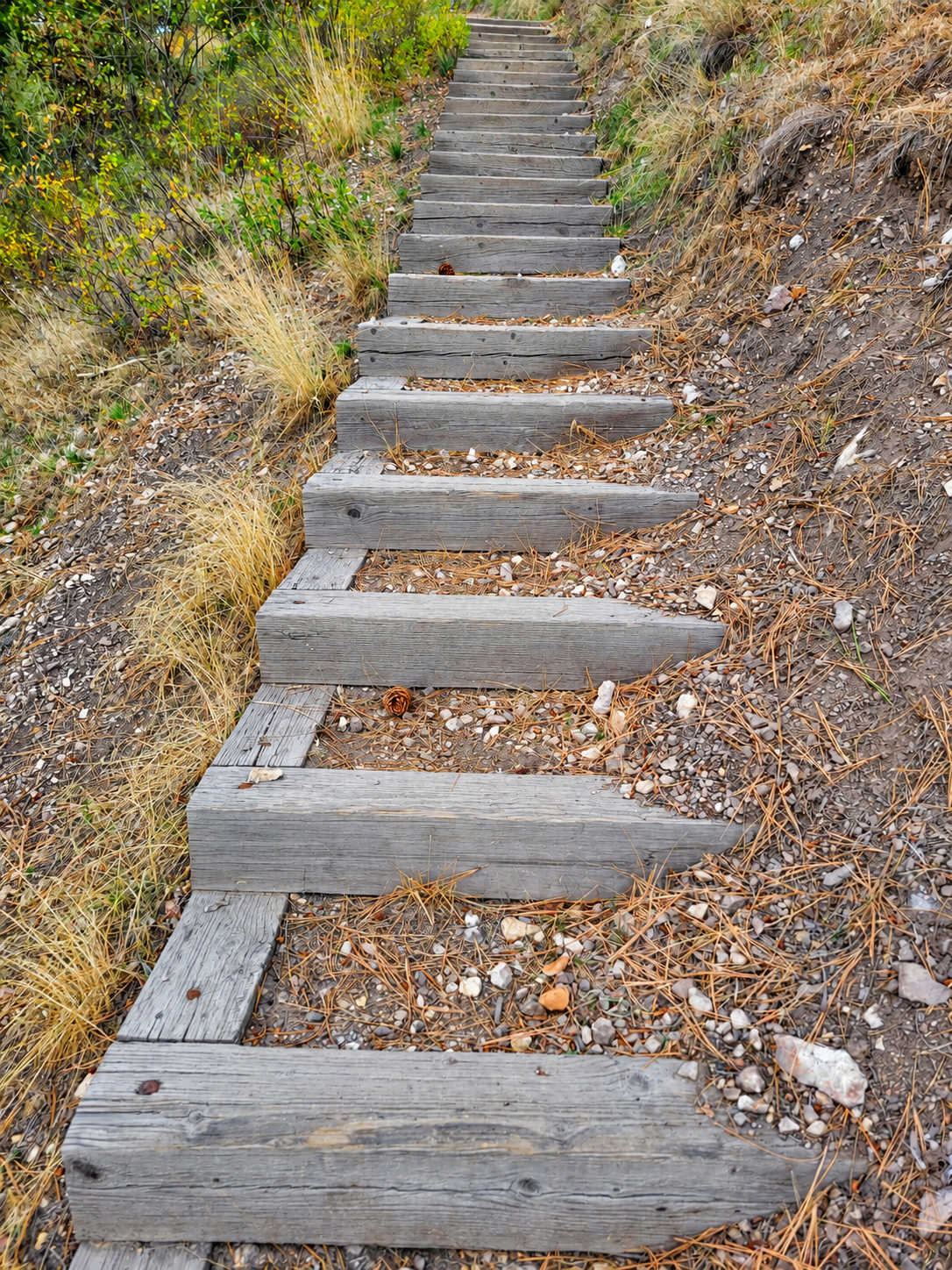
Heads up: if you park in the residential neighbourhood, you get the bonus of about 100 extra steps down to the trail, and back up again at the end.
Trail Stats
These stats are from my route, starting at the residential parking spot above.
- Distance: 1.85 km (return)
- Time: 36 minutes
- Low point: 584 m
- High point: 716 m
- Elevation gain: 132 m
- Cumulative elevation gain: approximately 235 m
The Trail
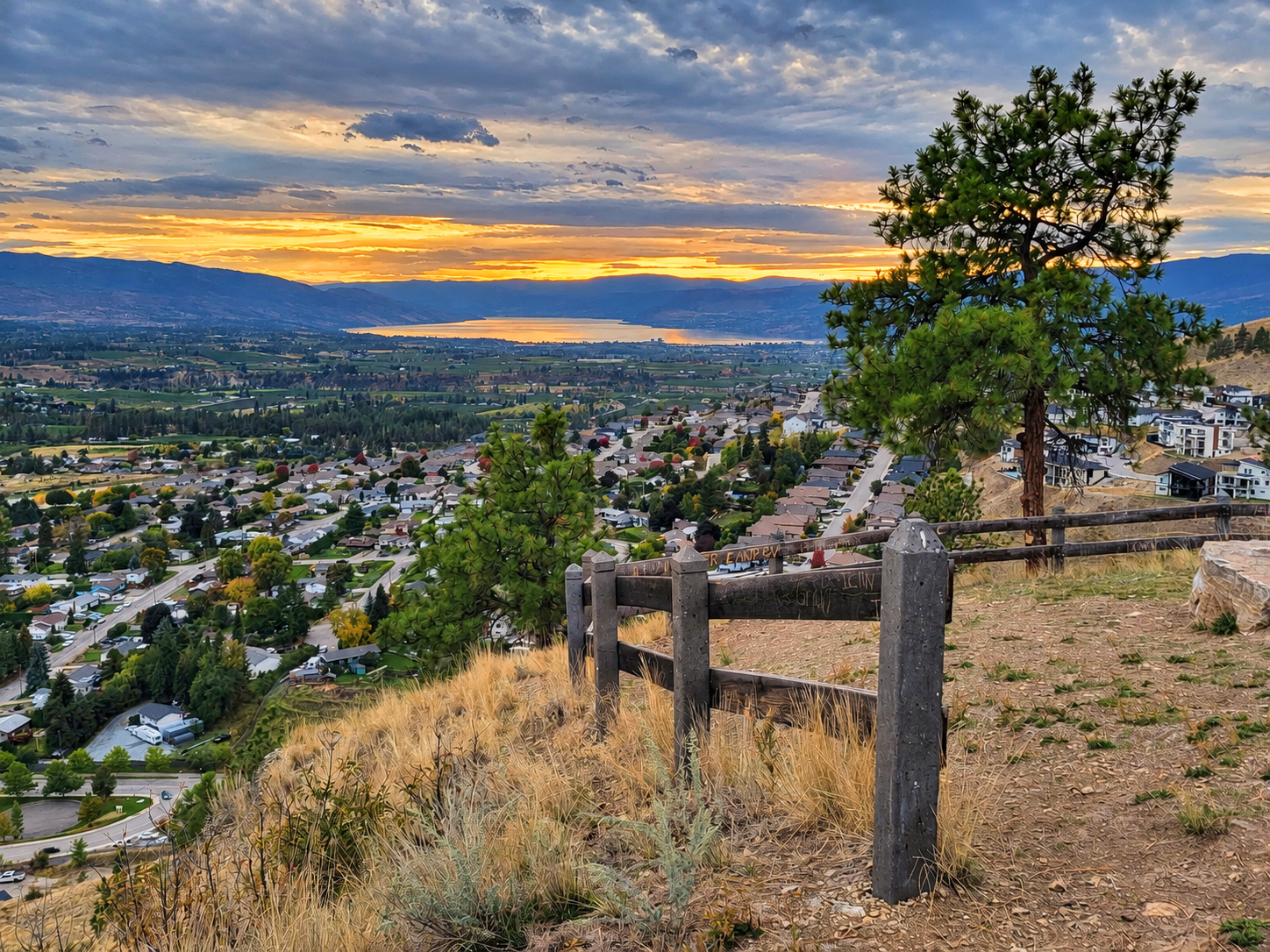
This is a short trail, with brief stops at the top taking only 36 minutes in total. Despite its short length, there are some beautiful 360-degree views at the top. I imagine it would be a particularly nice spot to catch a sunset.
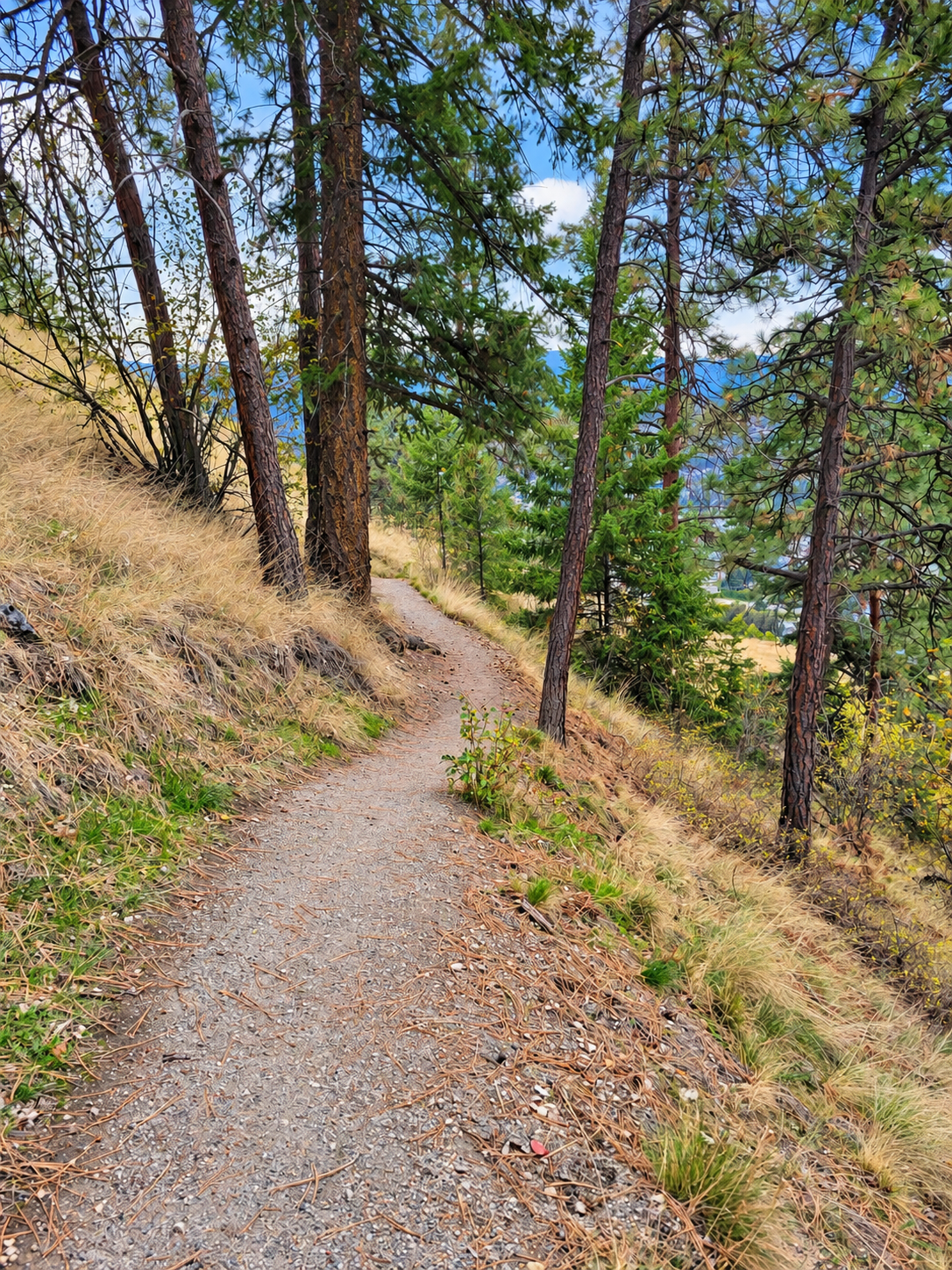
Many ponderosa pines grow on the hill, indicative of the Ponderosa Pine (PP) biogeoclimatic zone.
Photos