Buntzen Lake and Swan Falls combines the popular Buntzen Lake Loop with a much more rugged side trip up the lower portion of the Swan Falls Trail. The contrast is considerable: most of the lake loop is straightforward hiking, while the climb toward Swan Falls is steep, rough, and much more demanding.
When I completed this hike, I followed the Buntzen Lake route to the north end of the lake, walked a short distance north on the service road, and then climbed the Swan Falls Trail to the falls before returning to complete the lake loop.
The route shown on this page reflects conditions when I completed the hike. Current BC Hydro closures affect access near the north end of Buntzen Lake, including the approach used to reach Swan Falls. Check the current BC Hydro trail information before attempting this route.
Trail Stats
These statistics are based on my uploaded GPS recording.
- Distance: approximately 12.5 km return
- Recorded elapsed time: approximately 4 hours 5 minutes
- Low point: approximately 96 m
- High point: approximately 356 m
- Net elevation gain: approximately 260 m
- Cumulative elevation gain: approximately 720 m
- Difficulty: Moderate overall, with a difficult and steep Swan Falls section
- Route: Buntzen Lake loop with an out-and-back side trip to Swan Falls
- 📍 Swan Falls trailhead: Google Maps
The relatively modest difference between the lowest and highest elevations does not tell the whole story. There are numerous smaller climbs and descents around Buntzen Lake, and the Swan Falls section gains roughly 200 m over a comparatively short distance.
Interesting Facts
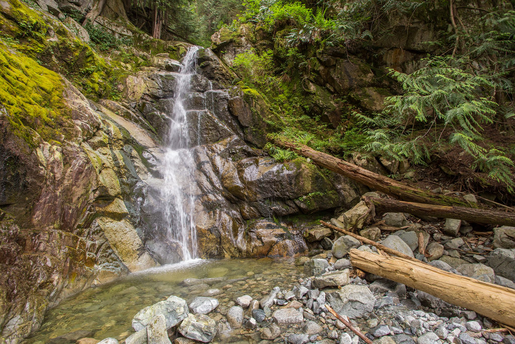
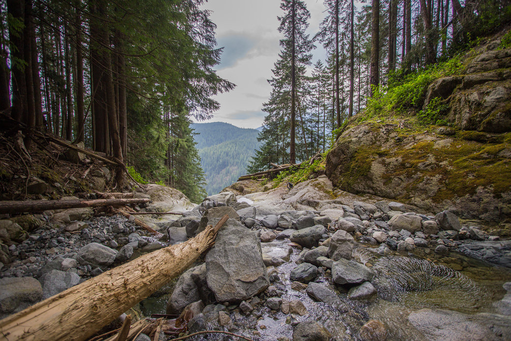
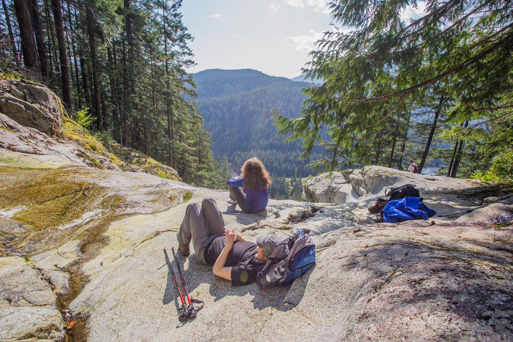
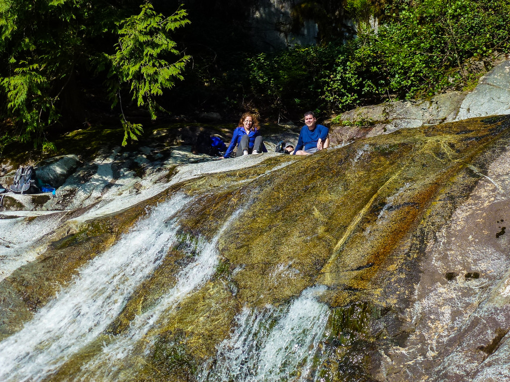
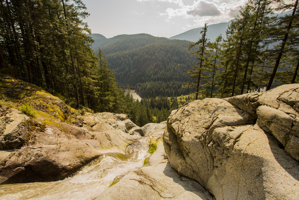
- Swan Falls: Swan Falls descends the western slopes above the north end of Buntzen Lake. The lower and upper falls areas provide open rock slabs and views back across the Buntzen Lake valley.
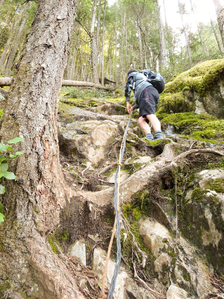
- A much harder trail: The Swan Falls Trail is considerably more rugged than the Buntzen Lake Loop. The lower section contains steep slopes, rough footing, and sections where hands may be needed for balance.
- Historic rope-assisted section: When I completed the hike, a rope was present on one particularly steep section. Fixed ropes on informal or backcountry trails should never be assumed to be present, maintained, or safe, so hikers should not rely on them.
- Mount Beautiful: The Swan Falls Trail continues far beyond the waterfall toward the high ridge and Mount Beautiful. The hike described on this page turns around at Swan Falls and does not continue to the summit.
- Biogeoclimatic zone: The Buntzen Lake area lies within the Coastal Western Hemlock biogeoclimatic zone. Western hemlock, western redcedar, Douglas-fir, mosses, and ferns are characteristic of the moist lower-elevation forest surrounding the lake.
- Hydroelectric landscape: Buntzen Lake has been part of the region’s hydroelectric system since the early twentieth century. Roads, transmission corridors, intake structures, and other infrastructure are visible throughout the recreation area.
The Route
The interactive map below shows my actual GPS recording. The route circles Buntzen Lake and includes the out-and-back climb to Swan Falls near the north end of the lake.
Because current access restrictions affect the Swan Falls approach, this map should be viewed as a record of my hike rather than a current route recommendation.
Reaching the Swan Falls Trail
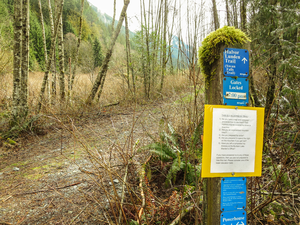
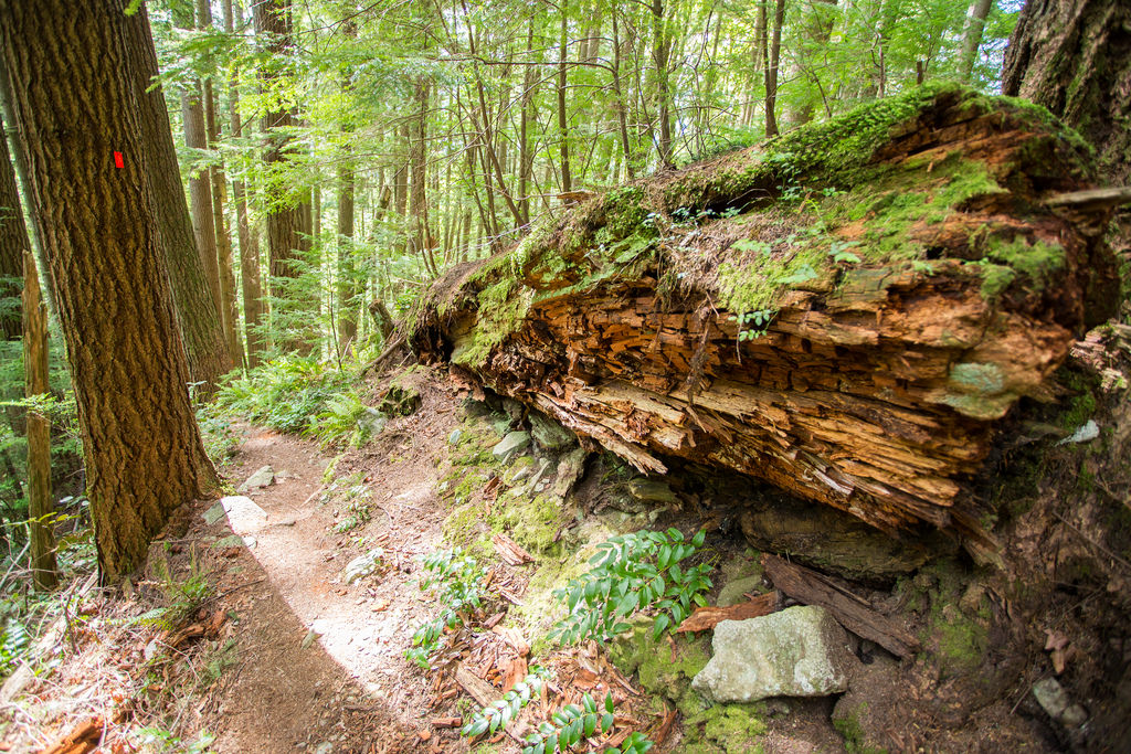
When I completed this hike, the Swan Falls Trail was reached from the north end of Buntzen Lake by following the service road north for roughly 500 m. The trailhead was on the eastern side of the road.
The difference in difficulty was immediately noticeable. The Buntzen Lake Loop is a maintained recreational trail, while Swan Falls quickly becomes steeper, rougher, and more backcountry in character.
Climbing to Swan Falls
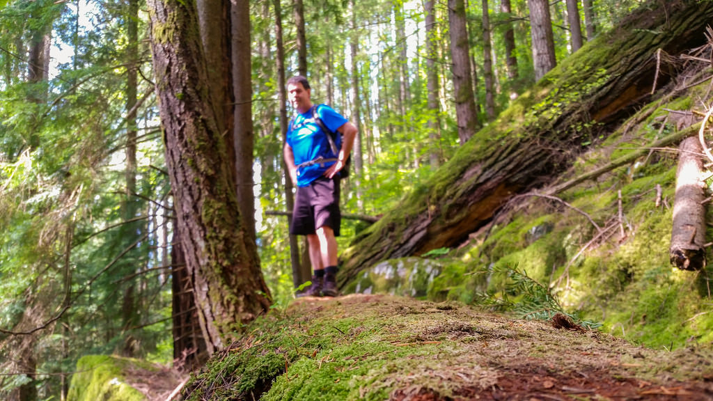
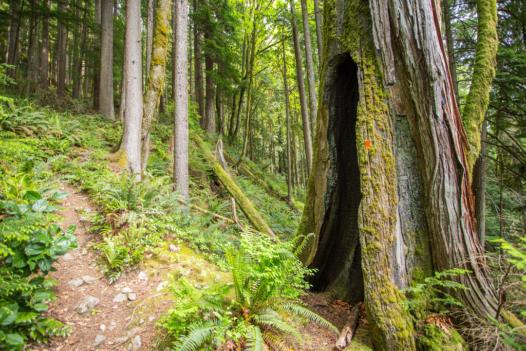
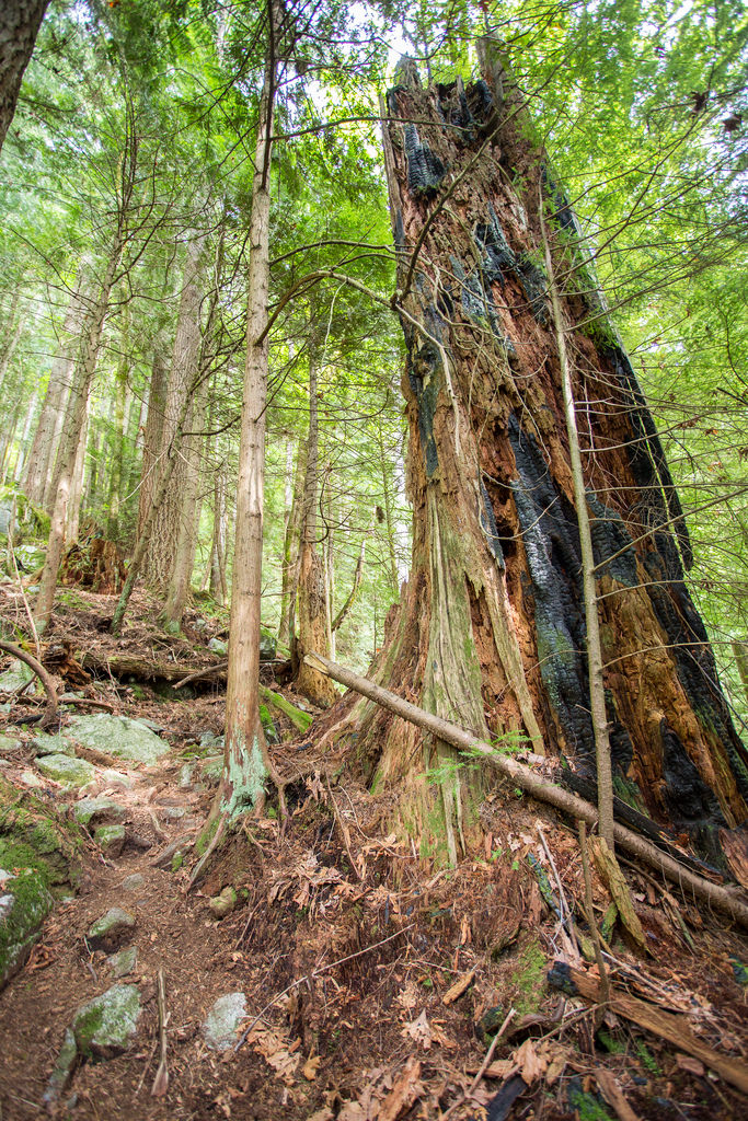
The climb to the falls gains only about 200 m, but that number understates the difficulty. The trail is steep in places and requires careful footing on rough slopes.
When I completed the route, a fixed rope was present on one particularly steep section. I would not recommend depending on a rope being there today. Backcountry ropes can deteriorate, disappear, or be moved, and their condition is not guaranteed.
Upper Swan Falls
The upper falls area has smooth exposed rock and provides a good place to stop when conditions are dry. Water levels vary through the year, so the appearance of the falls can change considerably with rainfall and snowmelt.
Lower Swan Falls
The lower falls are only a short distance from the upper falls and provide another open rock area. On the day of my hike, this was a pleasant spot to stop for a snack and enjoy the view.
What to Bring
Adding Swan Falls turns the normal Buntzen Lake Loop into a substantially more demanding hike. For this route, I recommend carrying the Ten Essentials, including navigation, a headlamp, first-aid supplies, extra food, sufficient water, emergency shelter, and extra clothing.
Good hiking footwear is especially important on the steep Swan Falls section. Download an offline map before starting, carry a fully charged phone and backup power, and leave your route and expected return time with someone you trust.
Also pay close attention to Buntzen Lake gate closing times. A backcountry delay can make the return take much longer than expected.
Leave No Trace
Please follow Leave No Trace principles throughout the hike. Stay on established trails, pack out everything you bring in, avoid damaging vegetation, and keep wildlife at a distance.
Do not install, alter, or rely upon unofficial ropes or other trail aids. Leave natural features and existing trail infrastructure as you find them.
Before You Go
Check current BC Hydro Buntzen Lake trail information before attempting this route. The northern access used when I completed this hike is currently affected by the Powerhouse Road closure between North Beach and Buntzen Dam.
Also check current gate hours and seasonal parking requirements before leaving home.