Ptarmigan Ridge is another great hike in the North Cascades, in Mount Baker-Snoqualmie National Forest in Washington. The trail starts at Artist Point, a spectacular high-elevation trailhead with several other hikes nearby, including Table Mountain and Chain Lakes. Another bonus is that the road to Artist Point is paved all the way to the trailhead.
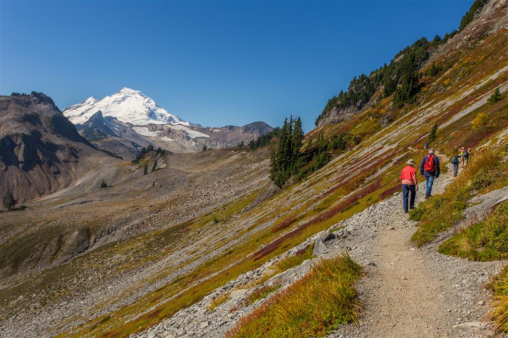
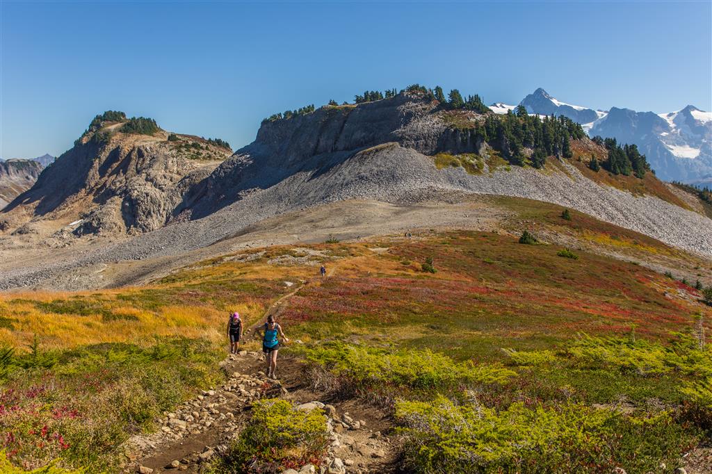
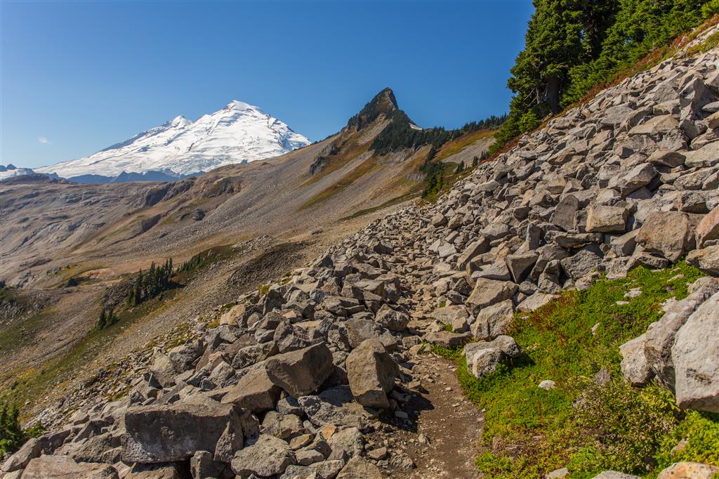
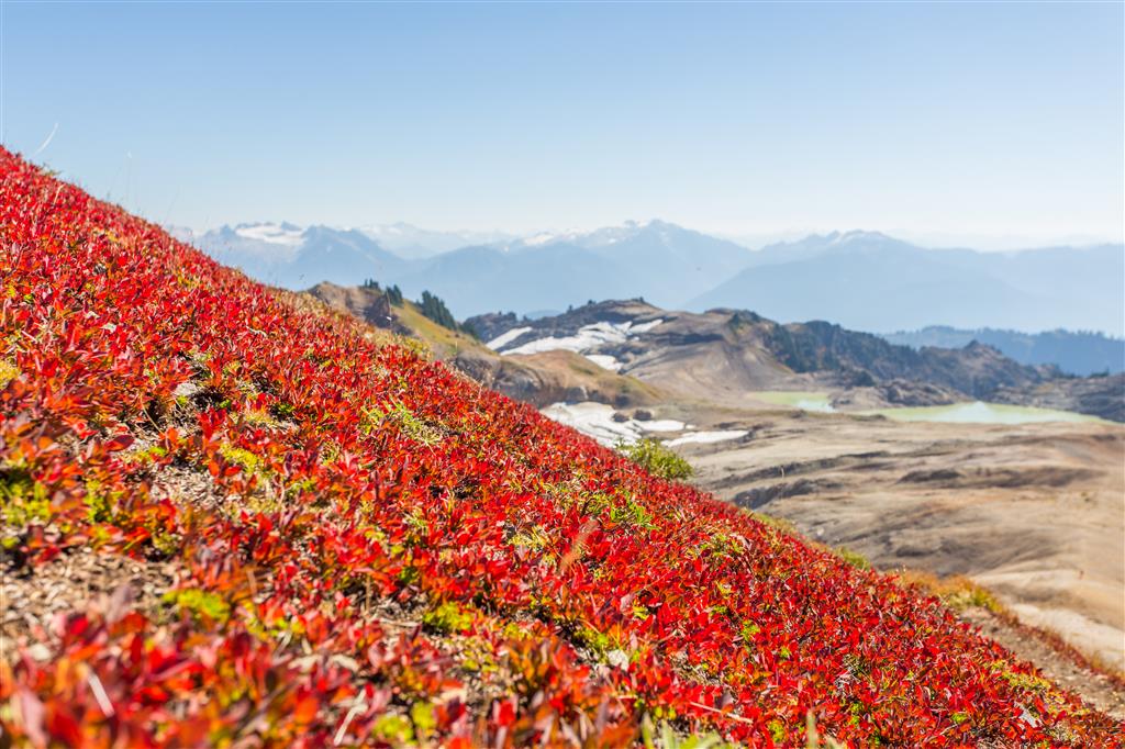
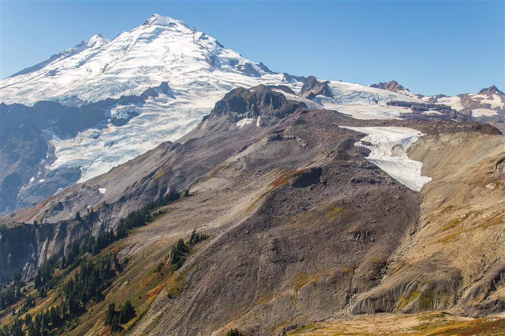
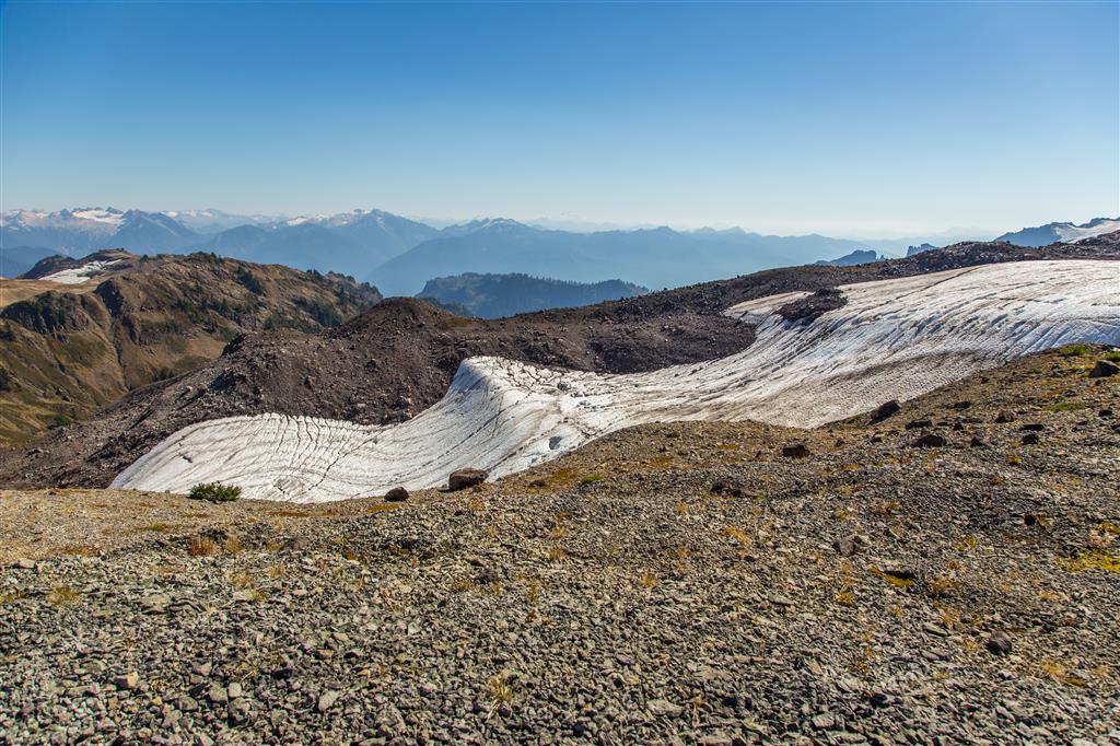
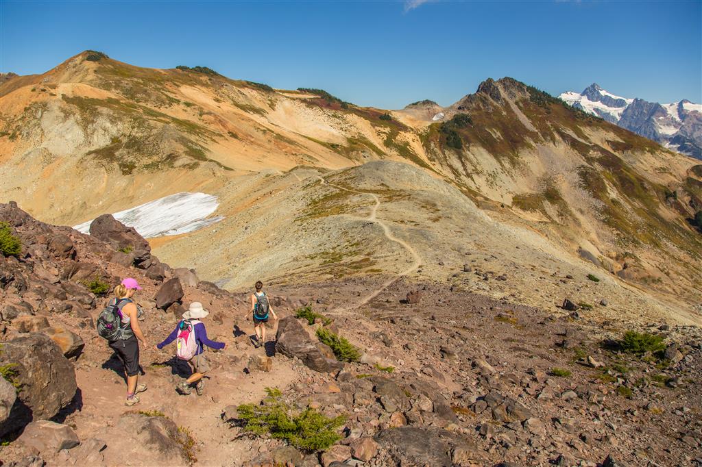
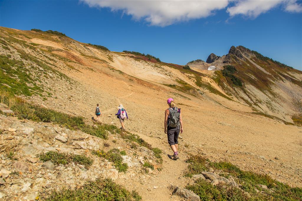
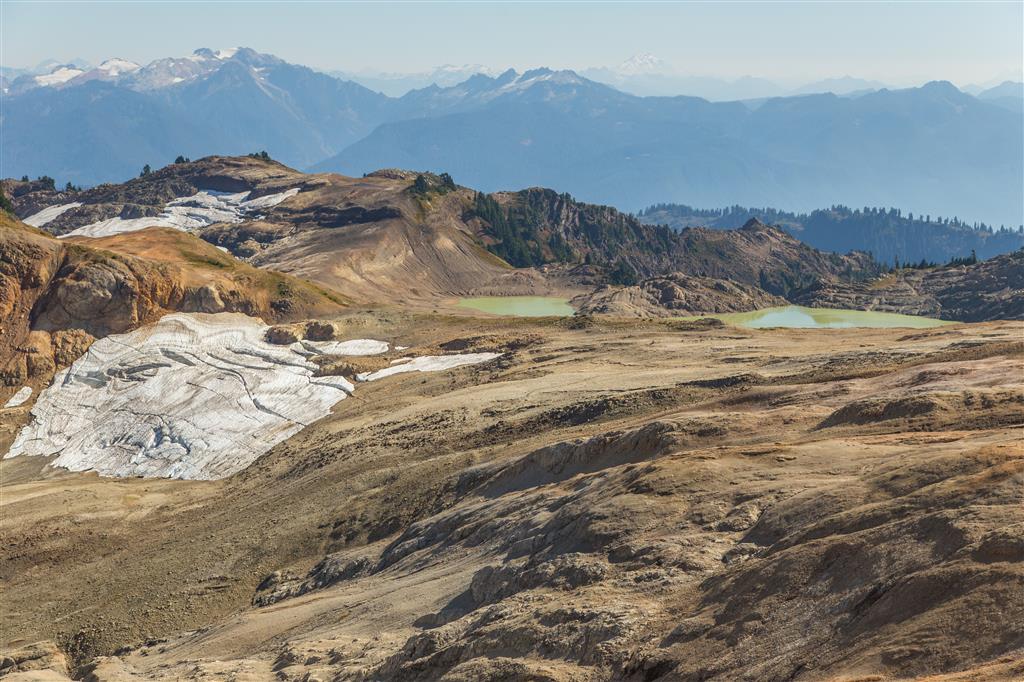
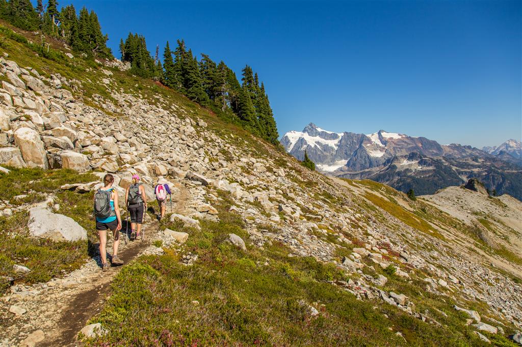
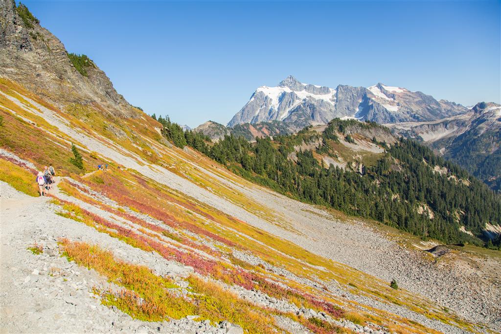
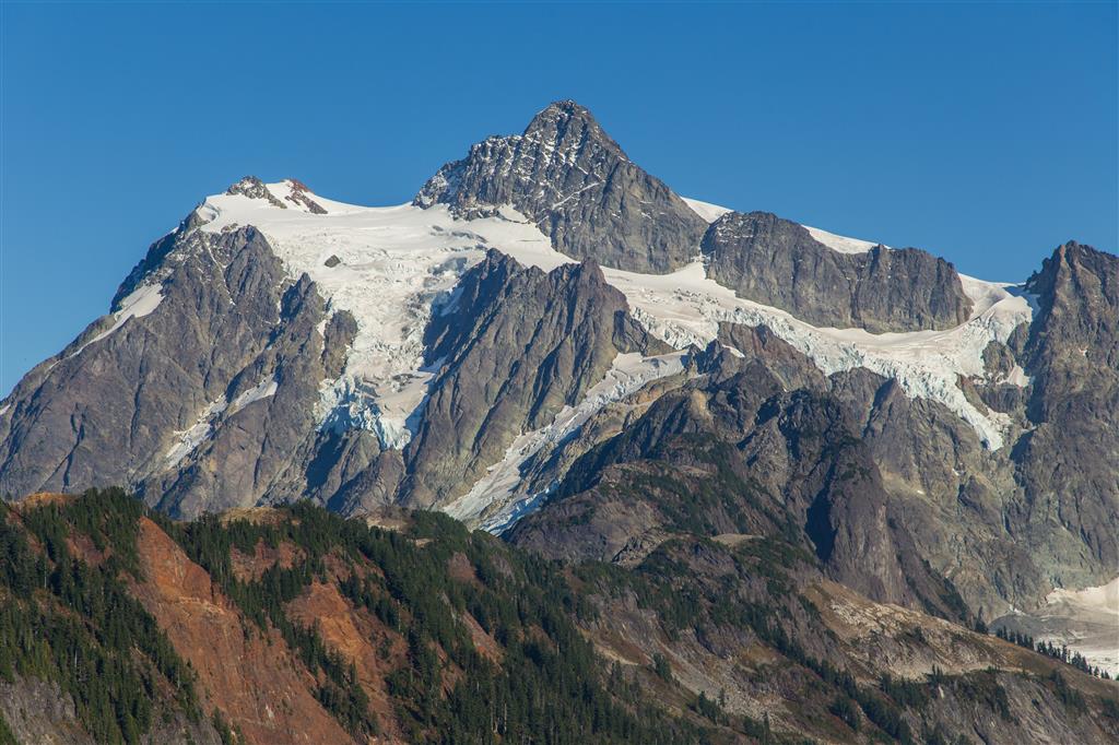
The hike is almost entirely in the open, so shade is definitely at a premium. The route follows a well-established trail across alpine meadows, rocky terrain, and scree slopes along Ptarmigan Ridge. The views are almost continuous and include Mount Baker, Mount Shuksan, glaciers, snowfields, alpine lakes, and rugged North Cascades peaks.
We did this hike on an amazing mid-September day, with temperatures in the upper 20s, no clouds, almost no wind, and no bugs. We also saw five mountain goats along the way.
The Ptarmigan Ridge Trail continues for quite a distance, so this is one of those hikes where you can choose your own turnaround point. We eventually decided we had gone far enough and headed back towards Artist Point. There is plenty more terrain beyond where we stopped, making this an area I would definitely like to explore further.
Interesting Facts
- Artist Point sits at approximately 1,570 m elevation, so this hike starts high in the mountains before you even take your first step. That is one reason such extensive alpine scenery can be reached with relatively moderate elevation gain.
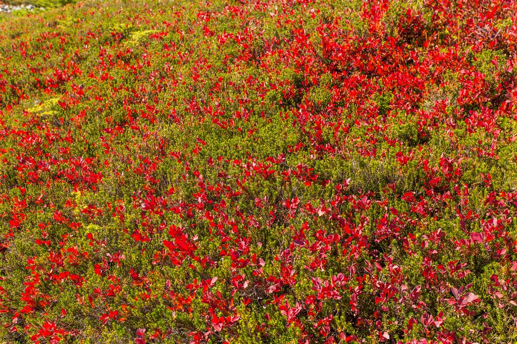
- British Columbia’s Biogeoclimatic Ecosystem Classification system does not formally extend into Washington. However, ecologically, the high-elevation terrain around Artist Point and Ptarmigan Ridge most closely resembles the Mountain Hemlock (MH) biogeoclimatic zone found just across the border in British Columbia. Much of the route is subalpine parkland and open alpine terrain, with mountain hemlock, heather, huckleberry, meadows, rock, and long-lasting snowfields.
- Mount Baker rises to 3,286 m and is the highest mountain in the North Cascades. It is an active stratovolcano and the northernmost volcano in the contiguous United States.
- Mount Baker is one of the most heavily glaciated mountains in the contiguous United States. Only Mount Rainier has a greater area of glacial ice among the Cascade volcanoes.
- The trail enters the Mount Baker Wilderness. Beyond the more heavily travelled section near Artist Point, the landscape becomes increasingly rugged and remote.
Border Crossing
For Canadians driving across the border for this hike, make sure you have the appropriate travel document. For most B.C. hikers, this means a valid Canadian passport or NEXUS card. If using a dedicated NEXUS lane, everyone in the vehicle must be a NEXUS member.
Food rules at the U.S. border can change and depend on the particular food and its country of origin. Declare all food and agricultural products you are carrying. Keeping food in its original packaging and keeping receipts can help establish its origin. Before travelling, check the current U.S. agricultural border rules for travellers from Canada.
Parking and Access
Artist Point is at the end of the paved Mount Baker Highway (State Route 542). The final section of highway is seasonal and normally opens after the winter snow has been cleared, typically around early summer, and closes again after significant snowfall in the fall. Always check current road conditions before leaving home.
Artist Point is a day-use fee area. A Northwest Forest Pass, an eligible interagency recreation pass, or payment of the current day-use fee is required. Current pass, parking, and access information is available from the U.S. Forest Service.
The Washington Trails Association is also a useful source for recent trip reports and trail conditions.
Trail Stats
- Distance: 16.2 km (return)
- Time: 6 hours
- Low point: 1,525 m
- High point: 1,878 m
- Elevation gain: 353 m
- Cumulative elevation gain: 785 m
- Trailhead: 48° 50′ 47.6″ N, 121° 41′ 36.6″ W (Google Map)
The Route
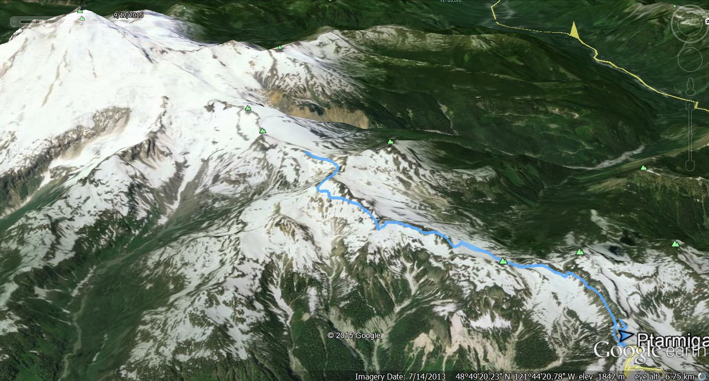
The GPS track below records the outbound portion of this hike along Ptarmigan Ridge. We returned along the same route. Green marks the trailhead at Artist Point, and red marks our turnaround point. Use the layer control in the top right to switch to a satellite view.
Photos
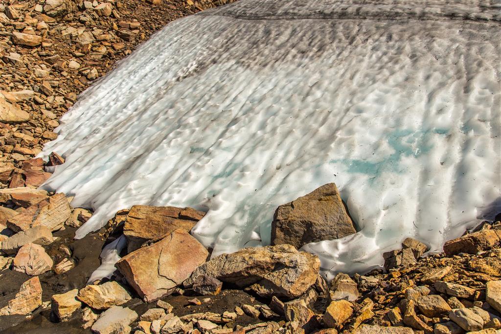
Short video of a melting ice patch:
You can also view my full Ptarmigan Ridge photo album on Flickr.
Before You Hike
Before heading out on your hike, make sure you are well prepared. This means having the TEN ESSENTIALS. It is also important to leave a trip plan (route details and estimated return time) with someone you trust.
Bring your smartphone, fully charged, and put it in airplane mode while hiking. I always bring backup battery packs for extra peace of mind. It is highly recommended that you bring a GPS device. I use my smartphone with a GPS app (Backcountry Navigator). The GPS will work in airplane mode. Learn how to use it before your hike.
For anyone new to hiking, there is a rule that hikers follow called “Leave No Trace” or LNT. The concept is generally to pack out what you pack in and respect nature, so all future visitors can enjoy what you have enjoyed. To learn more about LNT, please check out this blog by a certified LNT Trainer.