Mount Seymour is one of the classic North Shore mountain hikes, offering excellent views over Vancouver, Indian Arm, Mount Baker, and the surrounding Coast Mountains. The route climbs from the upper parking area through subalpine forest and open mountain terrain, passing Pump Peak and Tim Jones Peak before reaching the true summit of Mount Seymour.
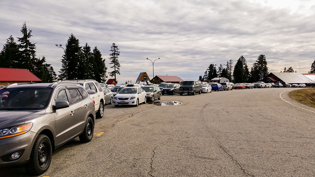
I completed this hike on a beautiful late-winter day with firm snow covering much of the upper mountain. I arrived at the parking area around 9:00 a.m., when only a handful of vehicles were present. By the time I descended, the mountain was considerably busier.
The route described on this page was completed with substantial snow on the mountain. Snow, ice, avalanche hazard, cornices, obscured trail markers, and rapidly changing weather can make winter travel significantly more serious than the same route in summer. Check current BC Parks trail information and the Avalanche Canada forecast before heading into the backcountry.
Trail Stats
These statistics are based on my complete GPS recording from the hike.
- Distance: approximately 8.9 km return
- My hiking time: approximately 3 hours 35 minutes, including stops
- Low point: approximately 1,000 m
- High point recorded by GPS: approximately 1,439 m
- Mount Seymour summit: approximately 1,449 m
- Net elevation gain: approximately 450 m
- Cumulative elevation gain: approximately 550 m
- Difficulty: Moderate to difficult, depending heavily on snow and weather conditions
- Route: Out and back
- 📍 Trailhead: Google Maps and navigation
Interesting Facts
- Three main summits: The route crosses three prominent high points: Pump Peak, Tim Jones Peak, and the true Mount Seymour summit. Pump Peak is sometimes referred to informally as First Pump or First Peak, while Tim Jones Peak was historically called Second Pump Peak.
- Mount Seymour summit: The true summit reaches approximately 1,449 m and provides panoramic views over Vancouver, Burrard Inlet, Indian Arm, and the surrounding Coast Mountains.
- Biogeoclimatic zone: Much of the upper Mount Seymour area lies within the Mountain Hemlock biogeoclimatic zone. Mountain hemlock, yellow-cedar, and amabilis fir are characteristic trees, with increasingly open subalpine terrain near the higher ridges.
- Heavy snowfall: The North Shore Mountains receive substantial winter precipitation. Snow can accumulate deeply at higher elevations and persist well into spring.
- Avalanche terrain: Parts of the Mount Seymour backcountry contain terrain capable of producing avalanches. Winter hikers should check the current avalanche forecast and understand how to recognize and avoid avalanche terrain.
- Winter routes: BC Parks installs marked winter backcountry routes each season. Snow can obscure the normal summer trail, so winter route markers and current conditions are more important than simply following a summer track.
- Year-round park: Mount Seymour Park is open year-round, although winter parking requirements, gate hours, snow conditions, and road access can change seasonally.
The Route
The interactive map below shows my complete GPS route from the parking area to the Mount Seymour summit and back. Use the layer control in the upper-right corner to switch between the regular map and satellite imagery.
Starting the Climb
The hike begins from the upper Mount Seymour parking area at approximately 1,020 m elevation. On the morning of my hike there were only a few vehicles in the lot and very few people on the trail.
The lower section was initially straightforward, but snow and ice became increasingly firm with elevation. At roughly 2 km into the hike, around 1,230 m, I stopped to put on microspikes.
Winter traction requirements vary enormously from day to day. Microspikes were suitable for the conditions I encountered, but they are not a substitute for appropriate snow-travel skills or avalanche equipment when conditions require it.
Pump Peak
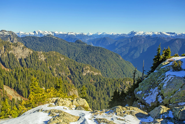
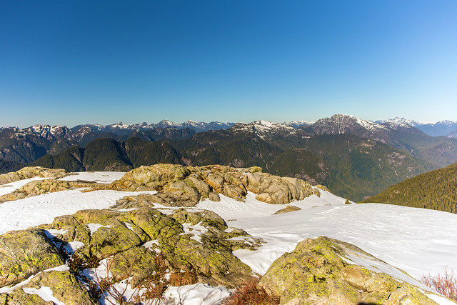
I reached Pump Peak, sometimes historically referred to as First Pump or First Peak, after about one hour of hiking. Snow at the peak was roughly one metre deep during my visit.
The views were outstanding, with Vancouver and the Lower Mainland spread out to the south, Indian Arm to the east, and the Coast Mountains extending northward.
Beyond Pump Peak
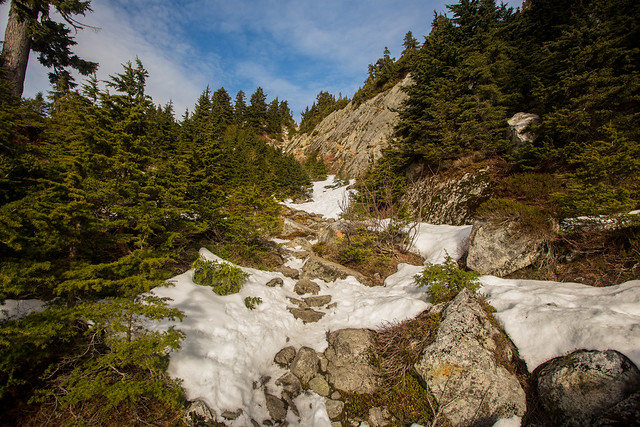
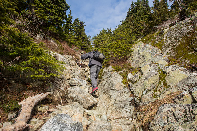
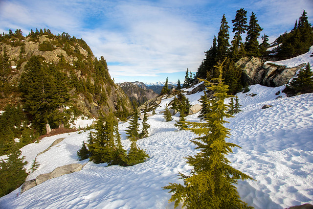
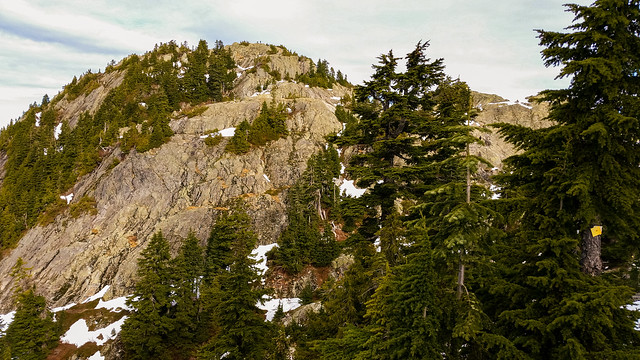
The character of the route changes beyond Pump Peak. The trail descends before climbing again toward Tim Jones Peak and the final Mount Seymour summit. The terrain becomes steeper, narrower, and more rugged, and the route can be substantially more serious when covered by snow or ice.
During my hike, a few centimetres of fresh snow made it easy to see that only two hikers were ahead of me. Some sections required hands-on scrambling and careful footing near steep terrain.
Do not assume that a summer trail line is the correct winter route. Snow can cover trail markers and create cornices, steep snow slopes, and avalanche hazards. Follow current BC Parks winter markers and route information, and turn around if conditions exceed your experience or equipment.
Mount Seymour Summit
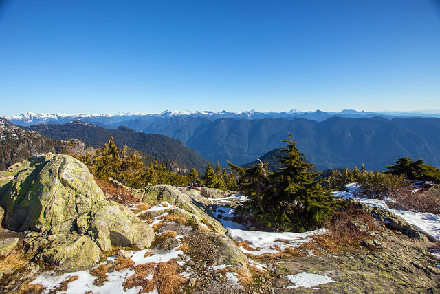
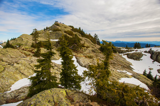
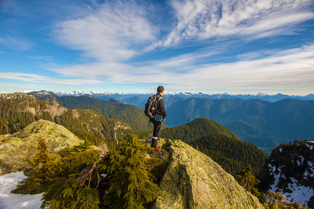
I reached the Mount Seymour summit about 30 minutes after leaving Pump Peak. The summit sits at approximately 1,449 m and provides excellent views both south toward Vancouver and north into the Coast Mountains.
Descending
I began descending around 11:00 a.m. with the two hikers I had met at the summit. The quiet trail I had enjoyed on the way up had changed completely. Large numbers of people were now heading uphill, particularly below Pump Peak.
I was surprised to see several people wearing ordinary running shoes despite the hard snow and ice. Winter mountain footwear and traction should always match the actual conditions rather than simply the popularity of the trail.
What to Bring
For a full hike to the Mount Seymour summit, I recommend carrying the Ten Essentials. Even though the trailhead is relatively close to Vancouver, this is genuine mountain backcountry where weather, visibility, snow conditions, and route difficulty can change quickly.
Carry reliable navigation, a headlamp, sun protection, first-aid supplies, extra food, sufficient water, emergency shelter, and warm and waterproof clothing. In winter, appropriate traction such as microspikes or crampons may be required depending on conditions, along with avalanche equipment and training when travelling in avalanche terrain.
Before any winter trip, check the current Avalanche Canada forecast and the BC Parks Mount Seymour information.
Carry a fully charged phone and backup power, but do not rely on cellular service alone. Download an offline map before the hike and leave your route and expected return time with someone you trust.
Leave No Trace
Please follow Leave No Trace principles throughout Mount Seymour Park. Stay on established trails and durable surfaces where practical, pack out everything you bring in, do not feed wildlife, and avoid damaging fragile subalpine vegetation.
In winter, travel on established routes where practical and avoid unnecessary disturbance to vegetation as snow begins to melt.
Before You Go
Check current BC Parks trail conditions, weather, snow conditions, avalanche forecasts, parking requirements, and road access before heading out. Winter day-use vehicle passes may be required for backcountry parking during peak periods, and seasonal overnight gate hours apply on Mount Seymour Road.