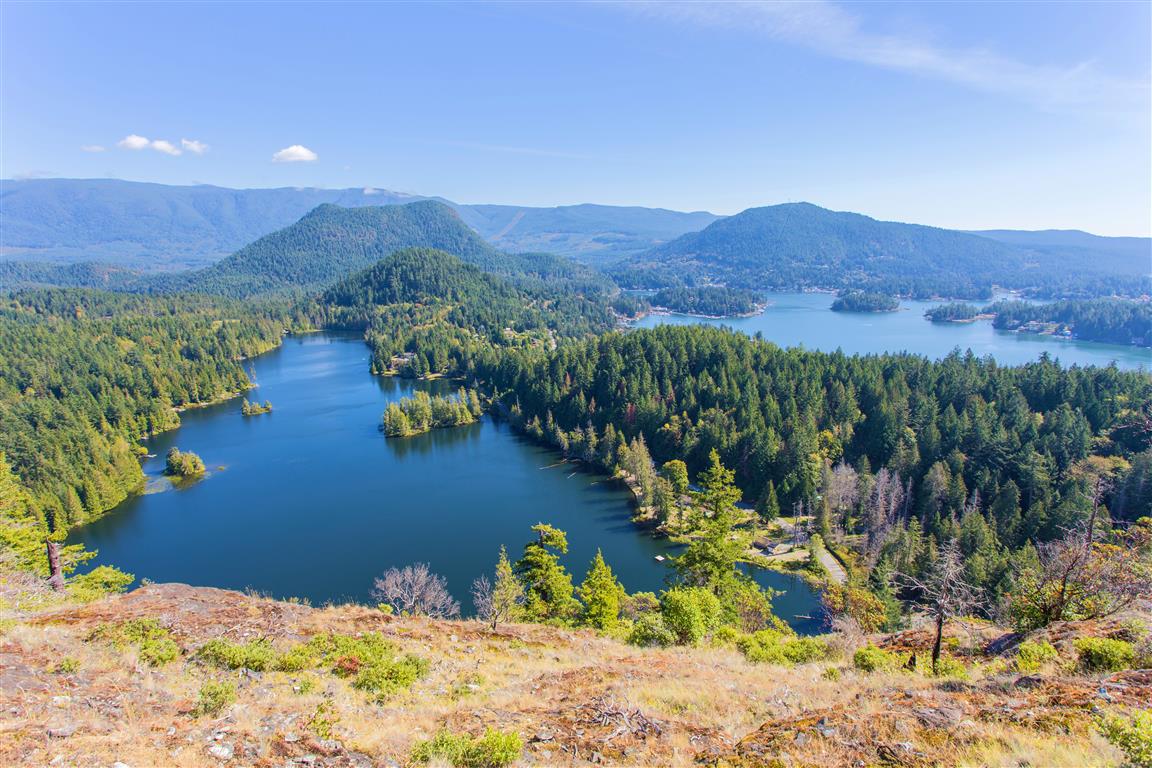
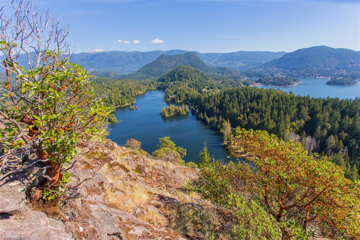
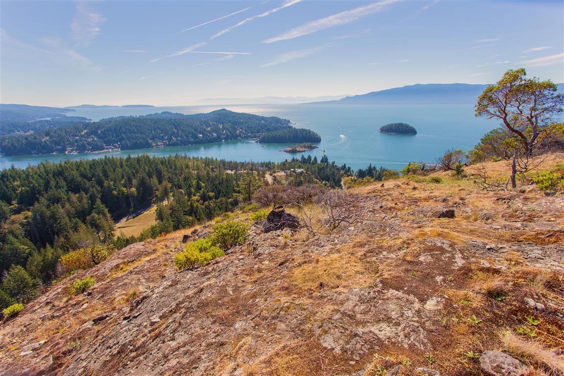
Pender Hill is on the Sunshine Coast of BC. The trail is maintained by the Sunshine Coast Regional District. This hike is fairly short compared to many in this blog, but you still get fantastic views, and it is well worth it. If you want more of a workout for your day, combine this hike and Mt. Daniel together. The Mt. Daniel trailhead is only 6 km from the Pender Hill trailhead.
To get to Pender Hill from Vancouver, you need to take the 1-hour BC Ferry trip from Horseshoe Bay in West Vancouver to Langdale. From Langdale, there is a 73 km trip to the trailhead on Coastview Drive.
Interesting Facts
- Pender Hill, along with Pender Harbour and the Pender Islands further south, is named after Daniel Pender, a Royal Navy hydrographer who surveyed the BC coast between 1857 and 1870
- Nearby Mt. Daniel is also named for Daniel Pender. The Sechelt First Nation name for the mountain is Shélkém
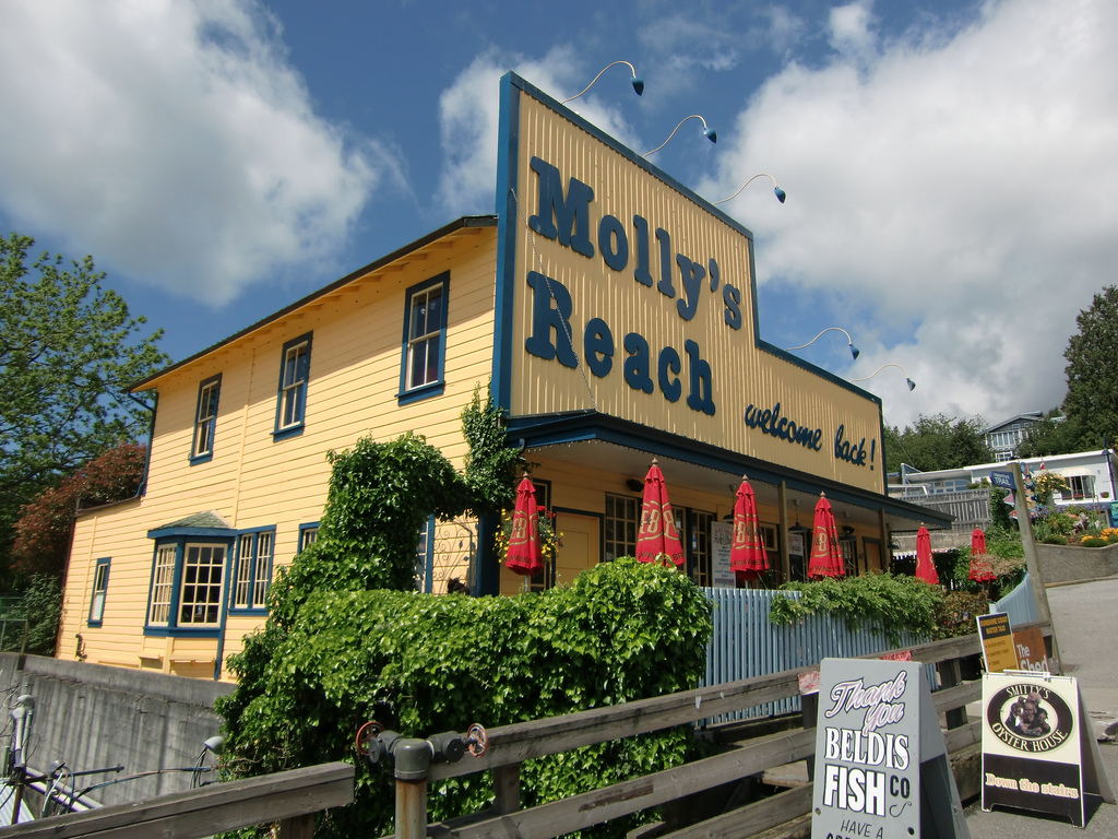
- Molly’s Reach, the restaurant in Gibsons mentioned below, was the fictional diner featured in The Beachcombers, a CBC drama filmed in Gibsons that ran from 1972 to 1990, making it one of the longest-running series in Canadian television history
Trail Stats
- Distance: 2 km (linear return)
- Time: 1 to 2 hours
- Low point: 57 m
- High point: 235 m
- Elevation gain: 178 m
The Route
The actual GPS track from this hike, drawn on the map below. Green marks the start/end point. Use the layer control in the top right to switch to a satellite view.
Photos
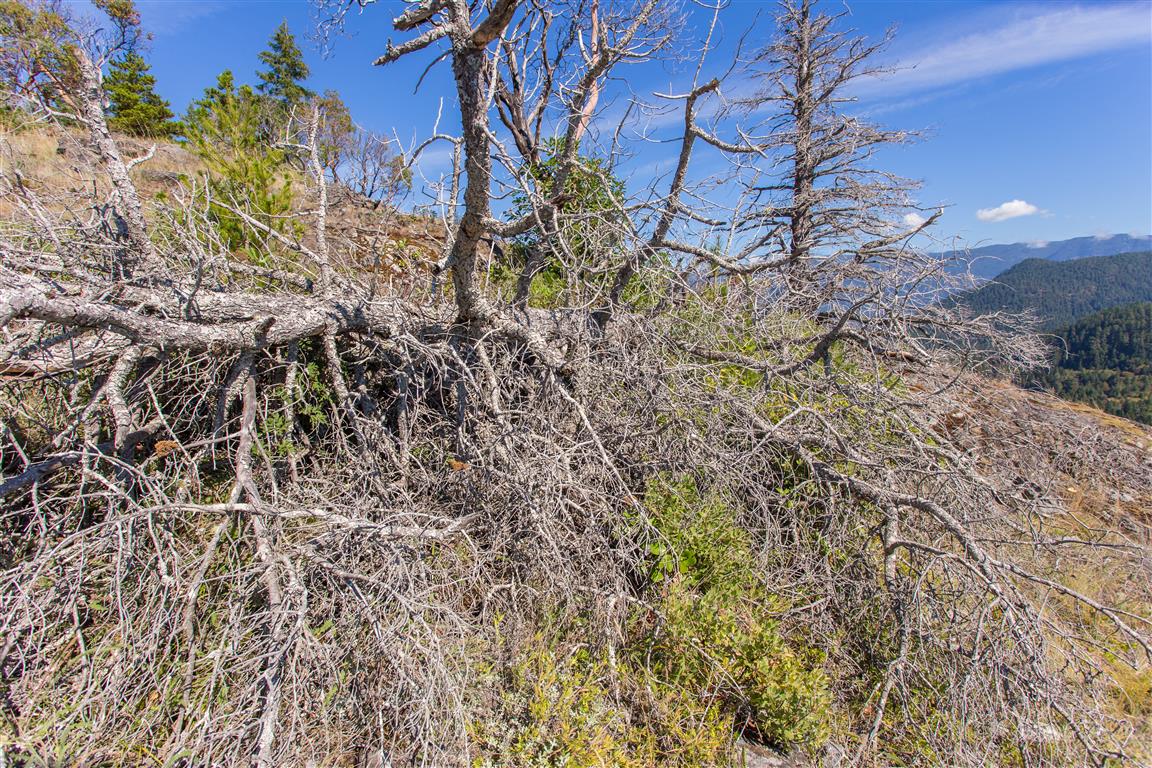
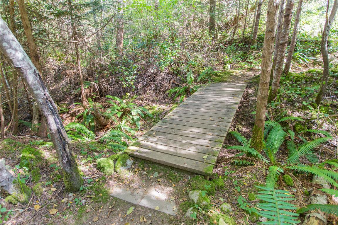
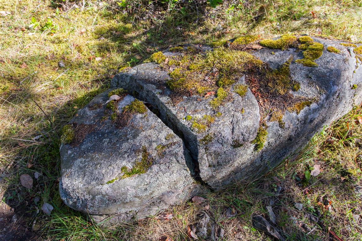
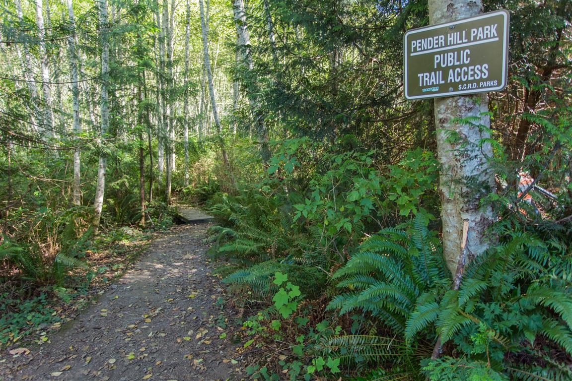
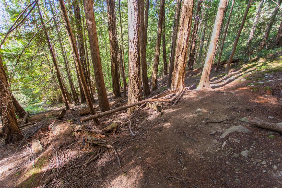
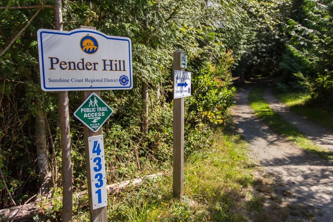
While You’re in the Area
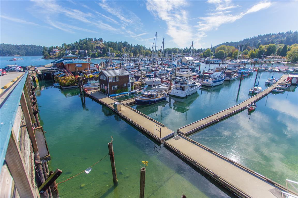
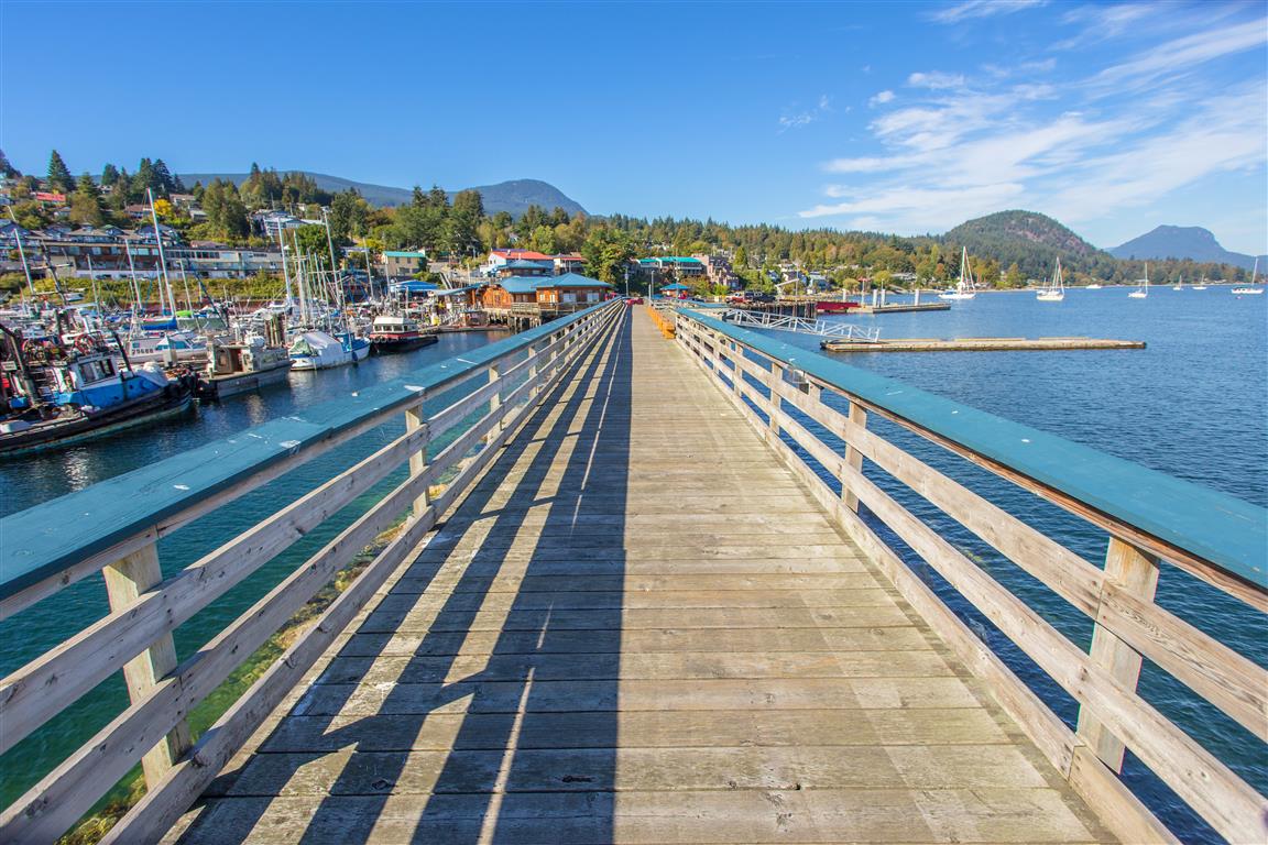
If you have time, stop in Gibsons. It’s a quaint little town, and worth a stop at Molly’s Reach (of Beachcombers fame) for fish and chips!
Before You Hike
Before heading out on your hike, make sure you are well prepared. This means having the TEN ESSENTIALS. It is also important to leave a trip plan (route details and estimated return time) with someone you trust.
Bring your smartphone, fully charged, and put it in airplane mode while hiking. I always bring backup battery packs for extra peace of mind. It is highly recommended that you bring a GPS device. I use my smartphone with a GPS app (Backcountry Navigator). The GPS will work in airplane mode. Learn how to use it before your hike.
For anyone new to hiking, there is a rule that hikers follow called “Leave No Trace” or LNT. The concept is generally to pack out what you pack in and respect nature, so all future visitors can enjoy what you have enjoyed. To learn more about LNT, please check out this blog by a certified LNT Trainer.