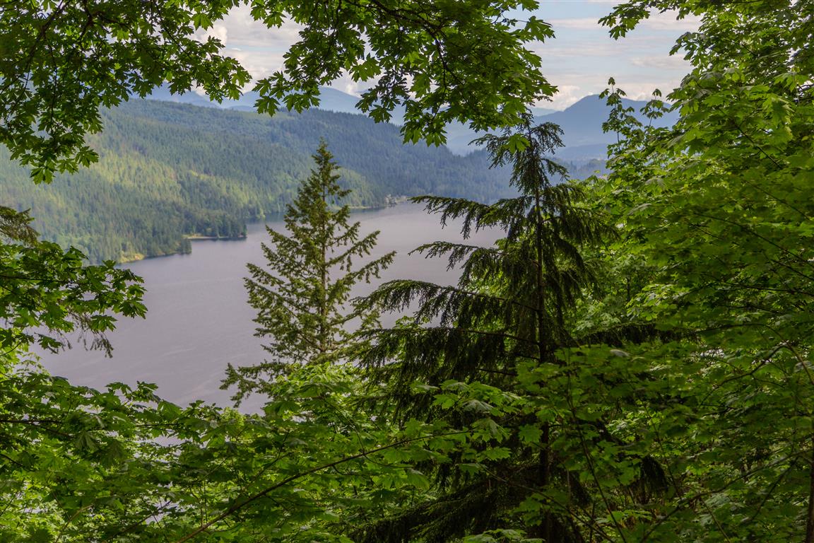
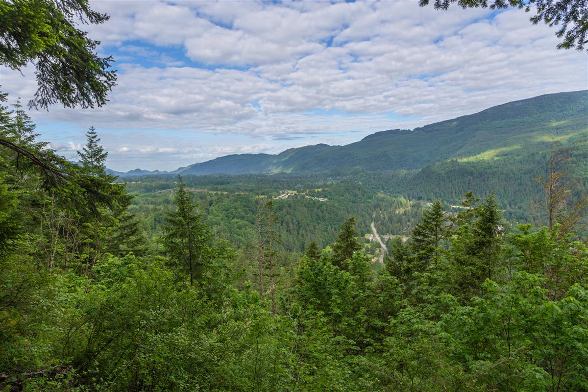
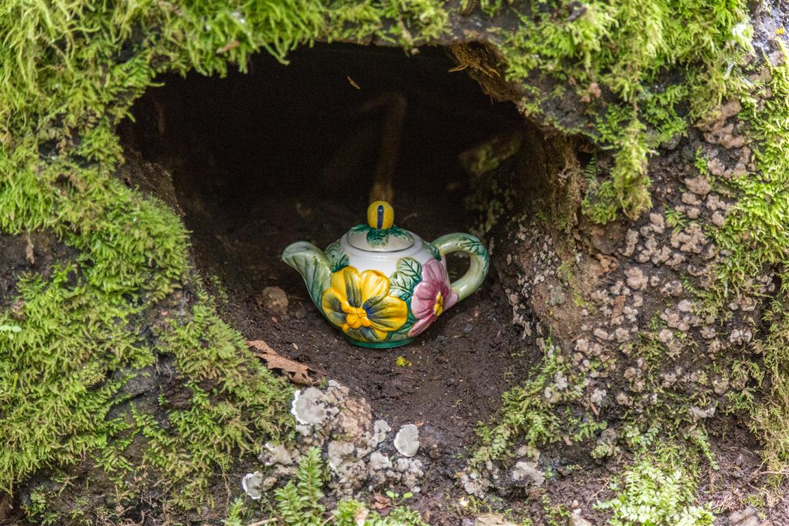
Teapot Hill is a short forest hike in Cultus Lake Provincial Park in south Chilliwack. The trail is best known for the teapots and teacups hidden along the route, along with a few partially open viewpoints toward Cultus Lake, the Columbia Valley, and the surrounding hills.
The trail starts near the south shore of Cultus Lake, where there is a small parking area for Teapot Hill hikers. On the morning we went, there were only a couple of other cars at 7:45 a.m., although the area can become much busier later in the day and during the summer.
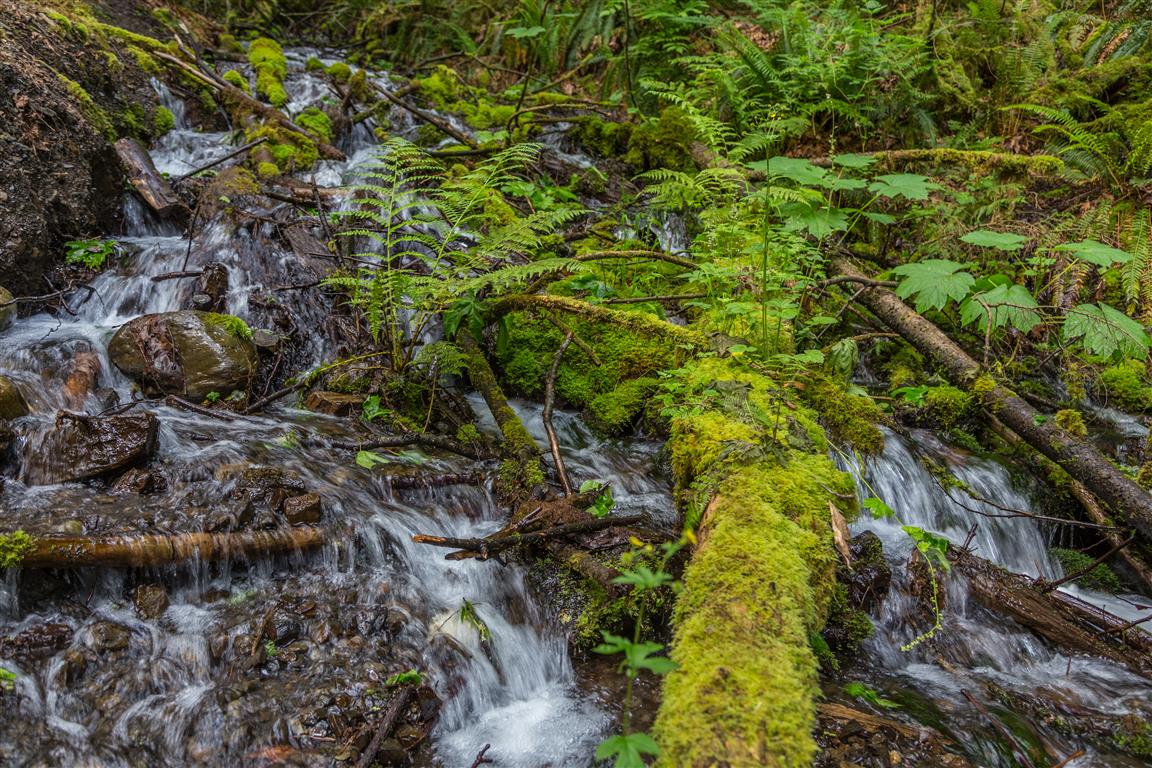
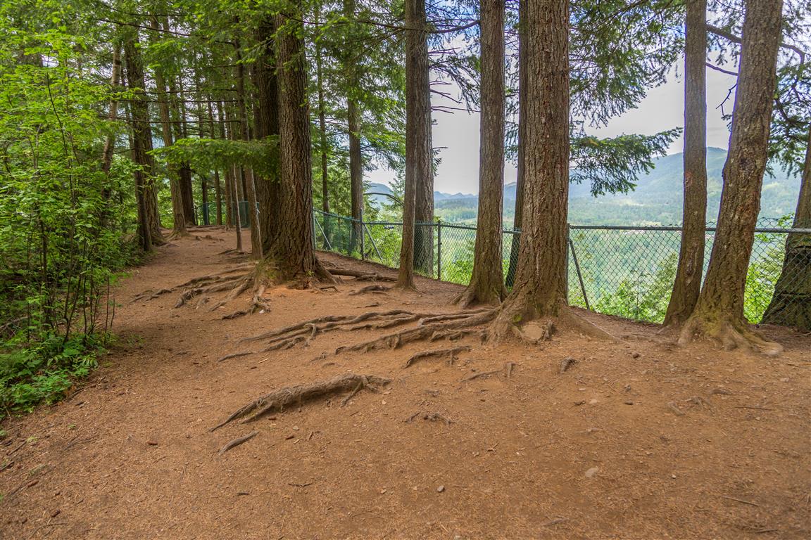
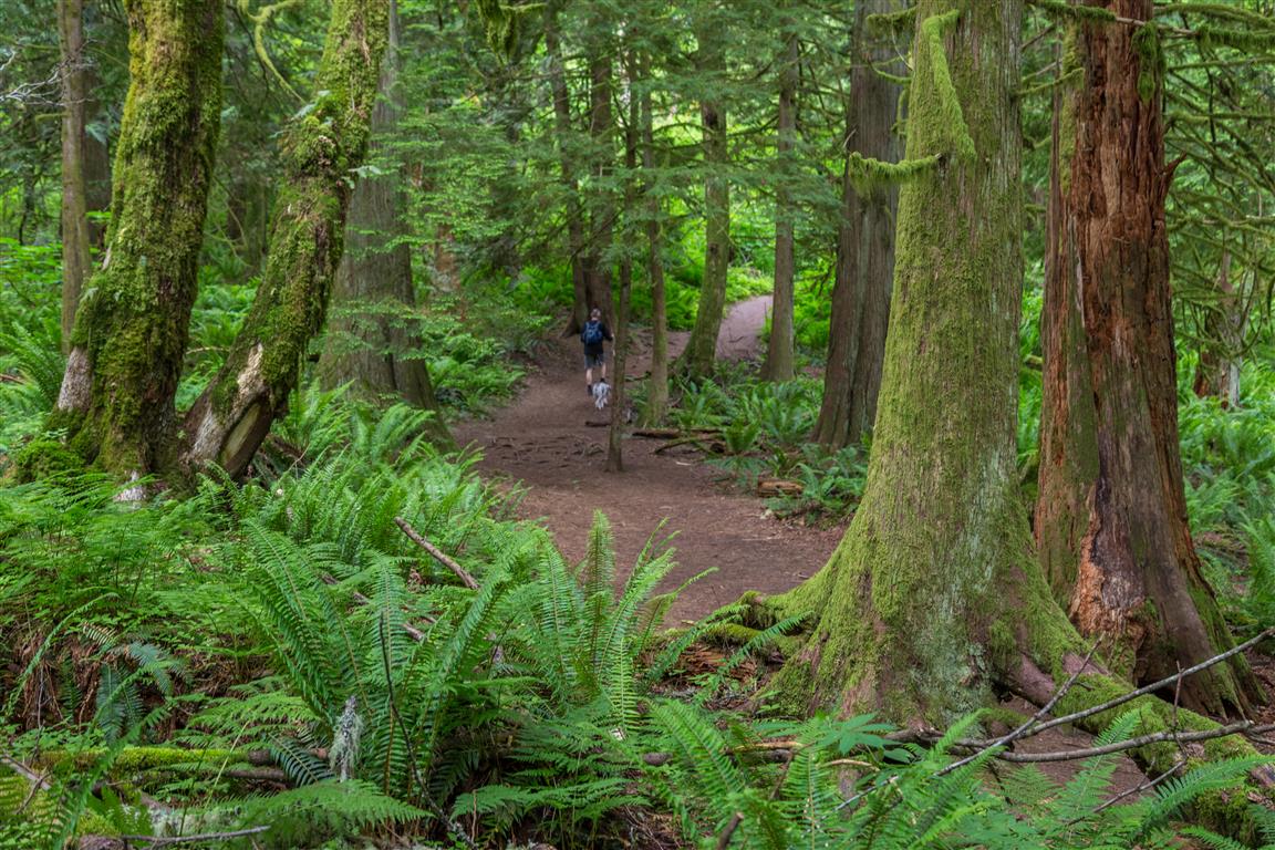
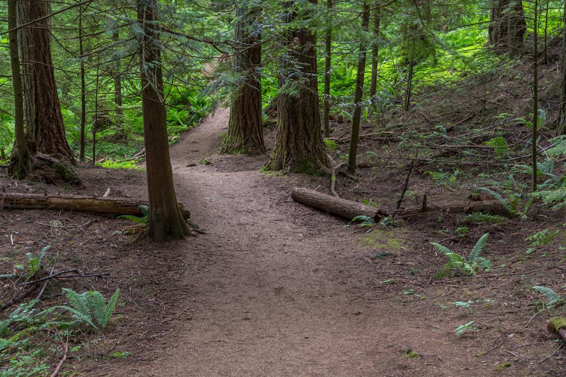
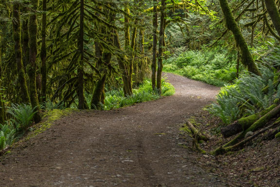
The hike begins on a wide trail before gradually becoming narrower and more like a traditional hiking trail. Along the way, you will see teapots and teacups tucked into the trees and bushes, as well as a stream beside part of the lower trail. The route climbs steadily toward the high point, where there are a couple of viewpoints with partially obstructed views of Cultus Lake, the Columbia Valley, and the hills to the west.
Interesting Facts
- The hill got its name back in the 1940s, when a logger working the area found a teapot on the hill.
- In more recent decades, hikers began leaving their own teapots and teacups along the trail as a tradition, which is how the hill ended up covered in them.
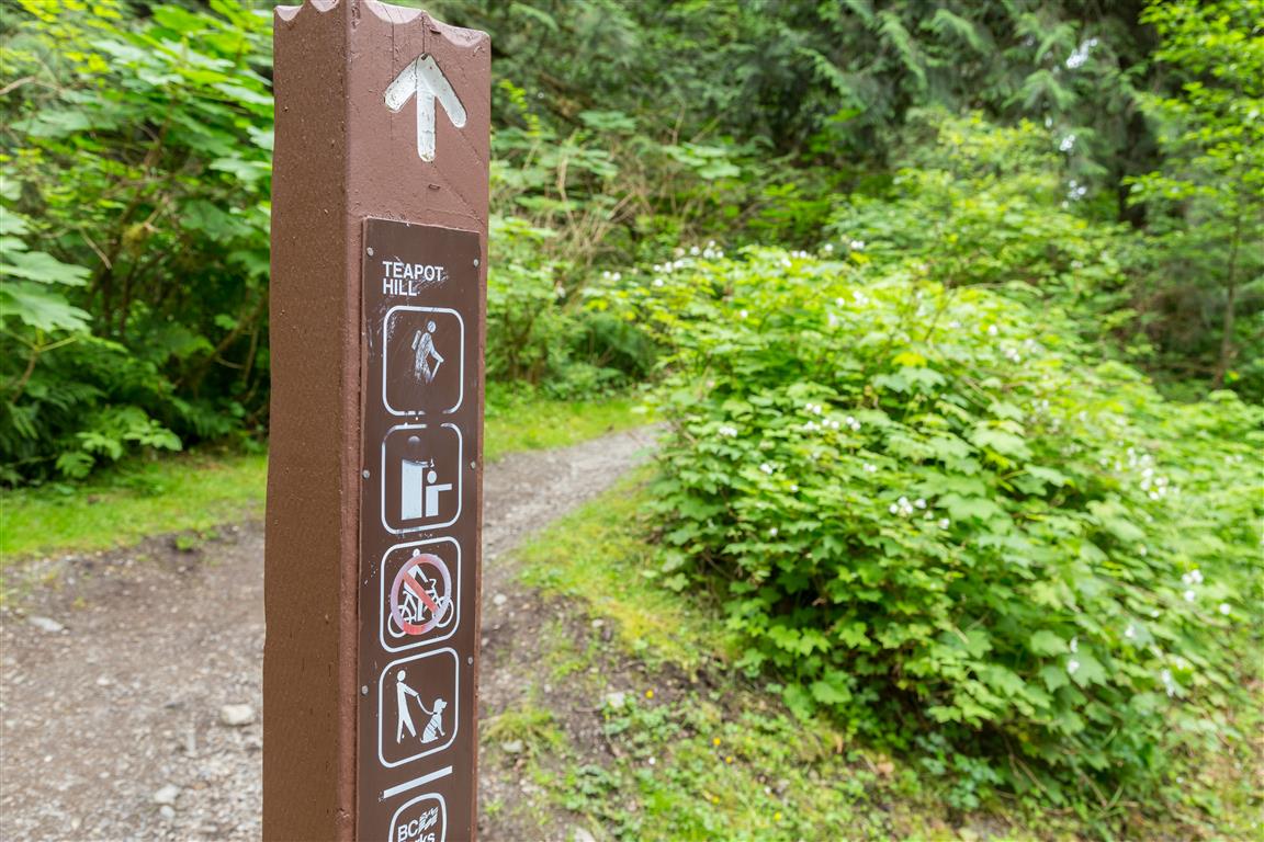
- The area is also home to sensitive native plants, including a rare trillium orchid, as well as western columbine and tiger lily. Because hikers wandering off-trail to place or search for teapots can trample this habitat, BC Parks has asked people not to leave new teapots on the trail and periodically clears out broken ones. You will still spot plenty left over from before the request, but it is best to leave your own teapot at home.
Trail Stats
- Distance: approximately 5.3 km return
- Typical time: about 2 hours, although hiking time will vary
- Recorded GPS time: approximately 1 hour 46 minutes
- Low point: approximately 50 m
- High point: approximately 307 m
- Elevation gain: approximately 260 m
The Route
The interactive map below shows the actual GPS track from my hike, recorded on 4 June 2017. The route measured approximately 5.3 km return. Green marks the start/end point. Use the layer control in the upper-right corner to switch between the regular map and satellite imagery.
Photos
A Quick Note on the Teapots
The teapots are a fun part of the trail’s history, but the surrounding forest contains sensitive plants and habitat. Enjoy the teapots that are already there rather than bringing another one to add, and stay on the established trail where possible.