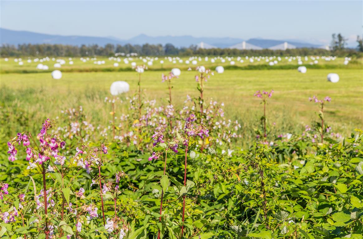
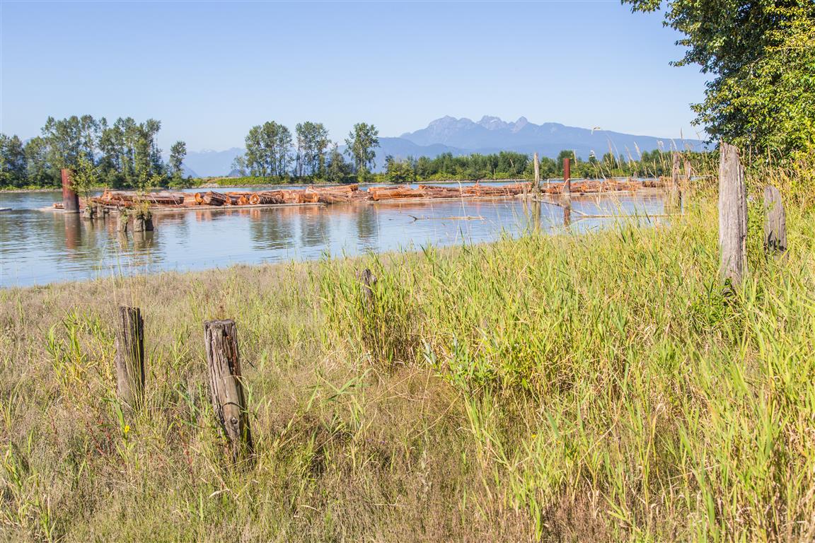
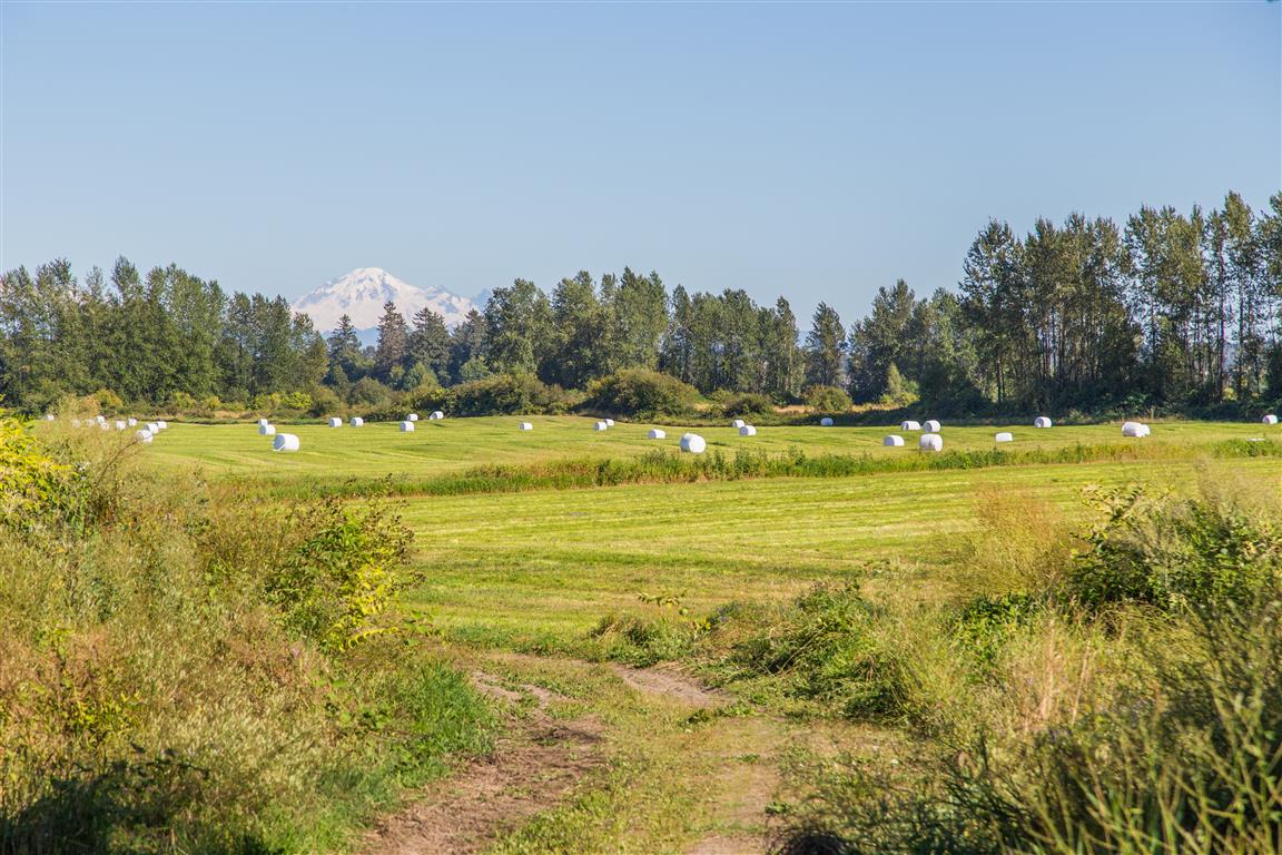
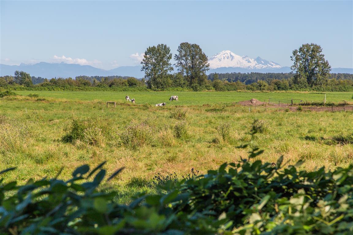
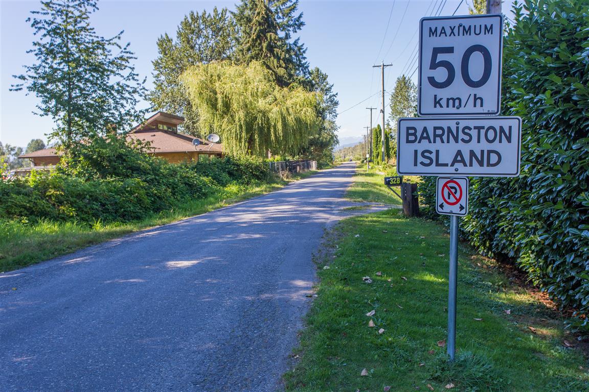
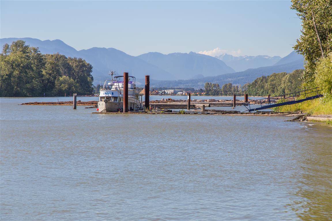
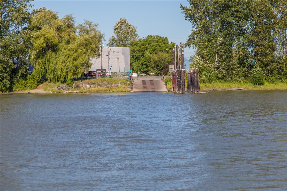
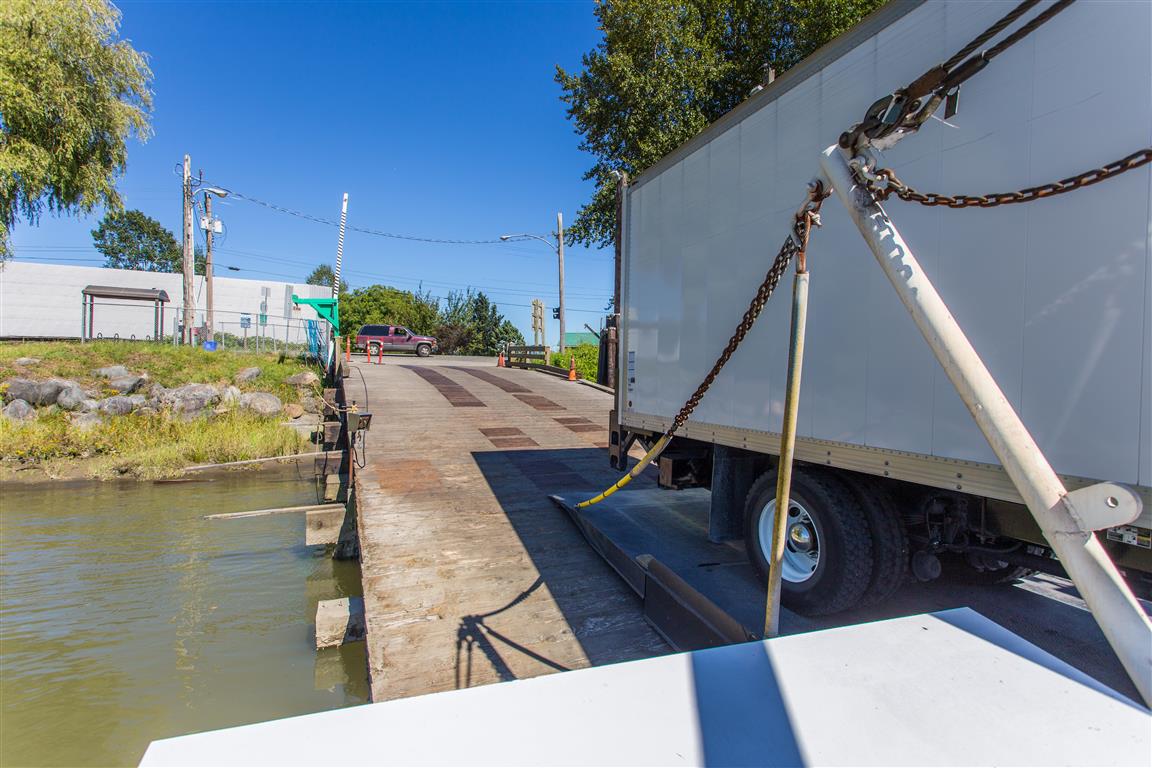
Barnston Island is a 1,500-acre agricultural island in the Fraser River. There is a free ferry that takes you to the island at the east foot of 104th Avenue in Surrey. When I went in 2016, the parking was free.
Barnston Island: Trail Conditions & Weather
📍 Get Driving Directions ↗
Check current park advisories, road access, and weather before heading out.
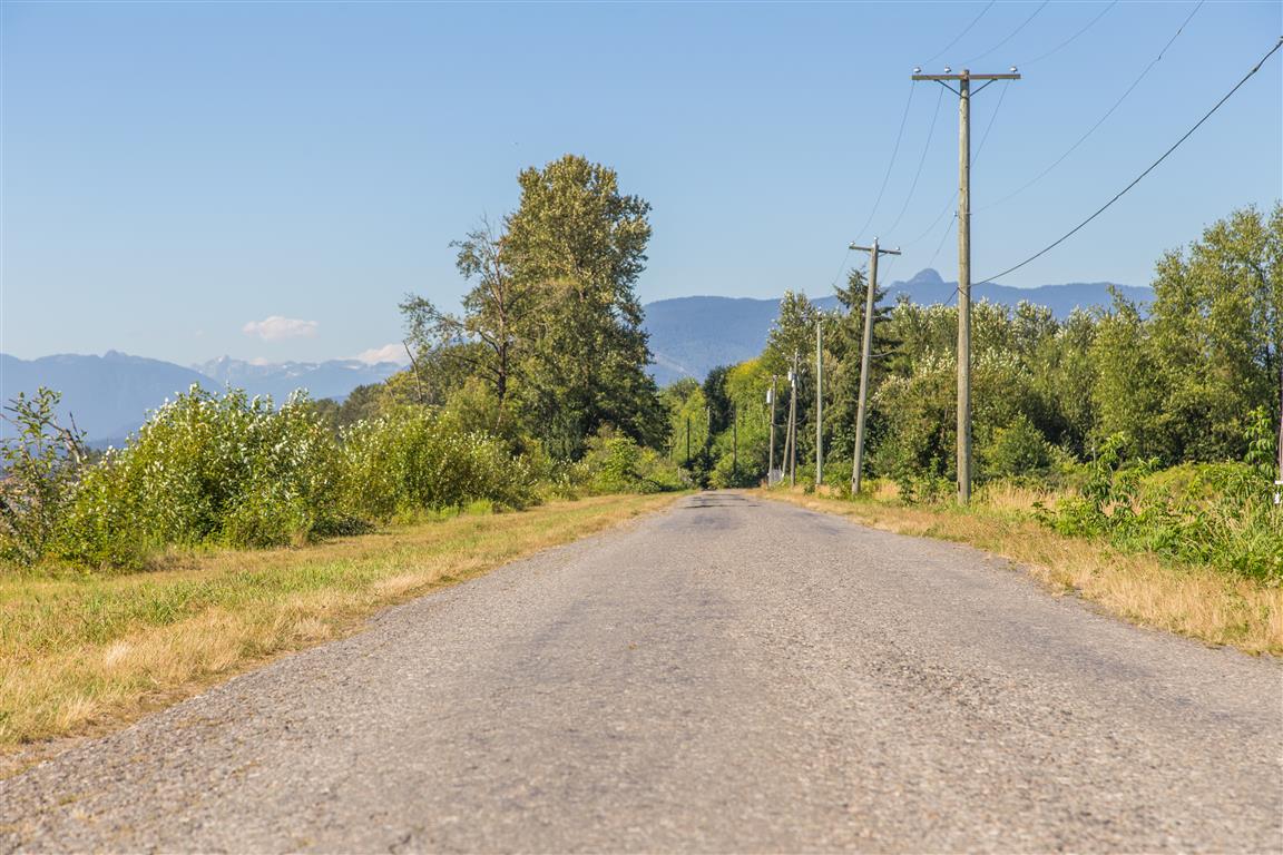
There are many choices for recreation here. You can bike or walk around the island, or just go to one of the ends and back again. You can take cars on the island, but there are no parking lots (so what’s the point unless you live there?).
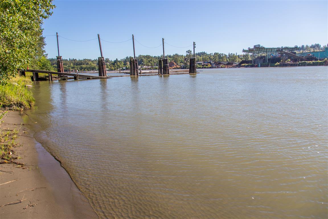
On this particular visit, I only walked to the west point of the island and back — I didn’t do the full loop around the island.
Interesting Facts
- Barnston Island was named in 1827 after George Barnston, a Hudson’s Bay Company clerk
- The Barnston Island Ferry has been running since 1916 and is the last remaining government-operated ferry on the lower Fraser River. In the 1920s, it doubled as a milk shuttle, sailing the island’s 10 km perimeter to pick up milk cans from local dairy farms before delivering them to Port Kells
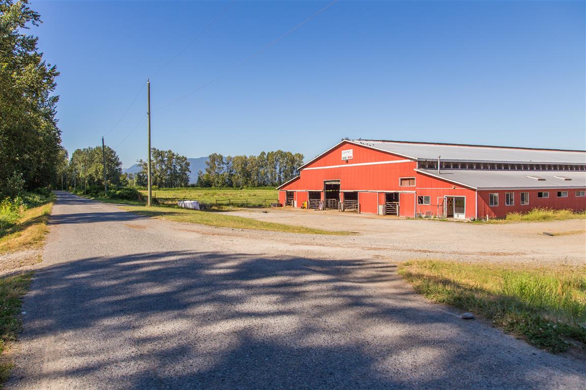
- The island is part of BC’s Agricultural Land Reserve, and didn’t get electricity until 1938
- Being low-lying Fraser River floodplain, the island sits in the dry maritime subzone of the Coastal Western Hemlock (CWHdm) biogeoclimatic zone, the zone that covers most of the Fraser Valley lowlands
Trail Stats
- Distance around island: 10 km
- Distance to west point and back: 3.5 km
- Distance to east point and back: 8.3 km
- Time: varies
- Low point: near sea level
- High point: near sea level
- Elevation gain: minimal
The Route
The actual GPS track from this walk — to the west point and back, not the full perimeter. Green marks the start/end point. Use the layer control in the top right to switch to a satellite view.
Photos
Conditions on this trail can change over time — trailheads move, access rules shift, and businesses close. This post reflects what I found when I did the walk.