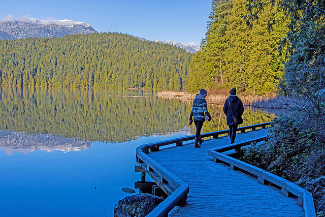
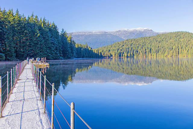
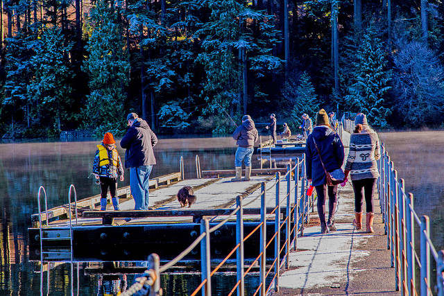
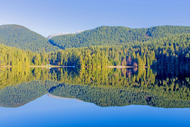
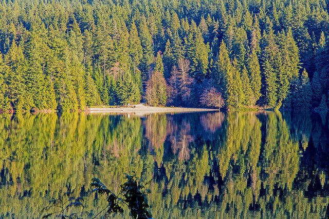
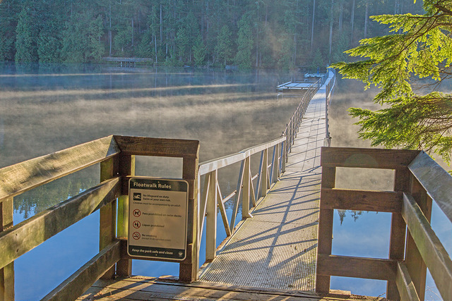
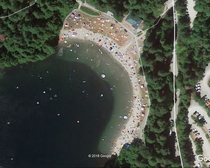
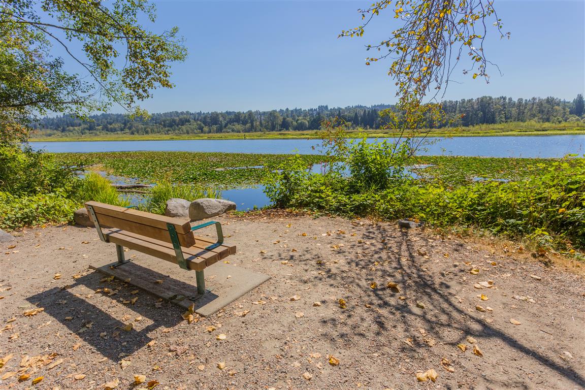
Sasamat Lake is in Belcarra Regional Park, near Anmore. This is one of the warmest lakes in Metro Vancouver ! There is a nice easy trail around the lake, with minimal elevation gain. This place can get very crowded in the summer because it has two great sandy beaches (White Pine Beach). There is a very sturdy floating bridge across the lane with two wharves for fishing or jumping off. The lake has an area of about 45 ha (111 acres) and a perimeter of 3.2 kms.
Distance: 3 km
Time: variable
Low point: 51 m
High point: 74 m
Elevation gain: 23 m
Trailhead and parking: 49° 19’ 21.5” by 122° 53’ 03” (Google Maps and navigation)
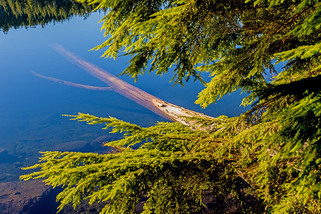
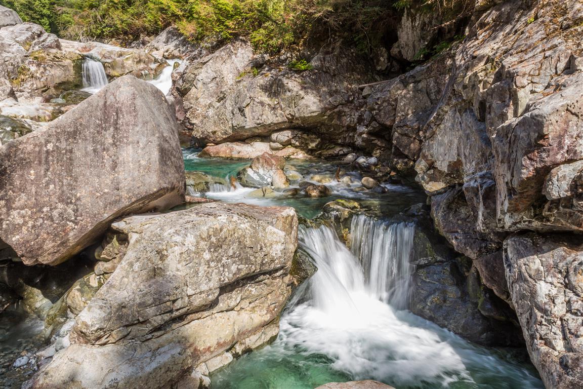
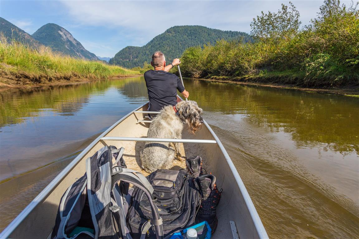
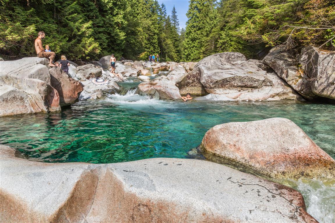
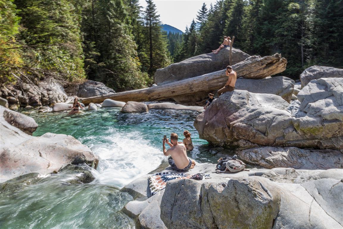
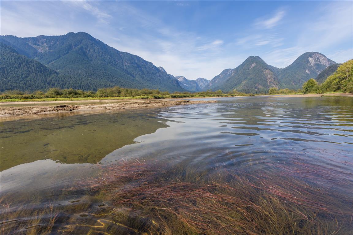
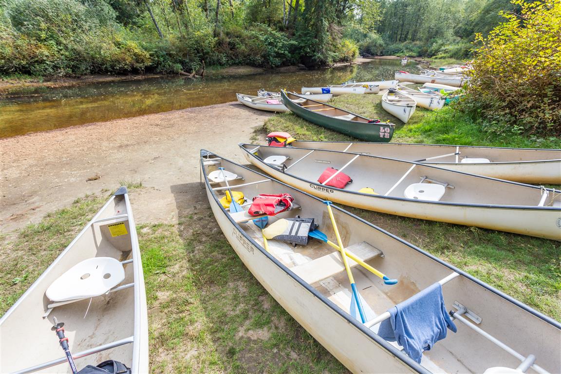
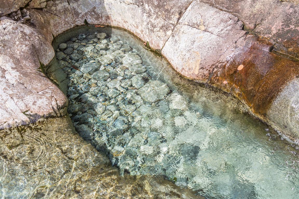
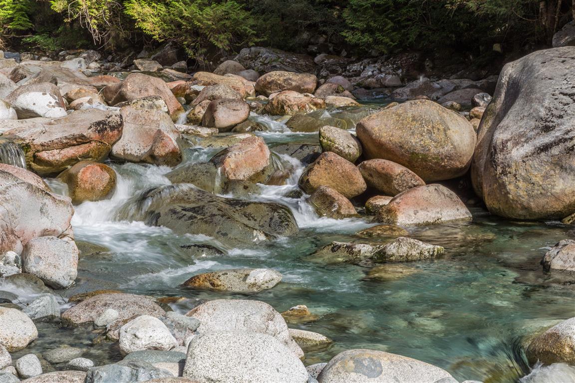
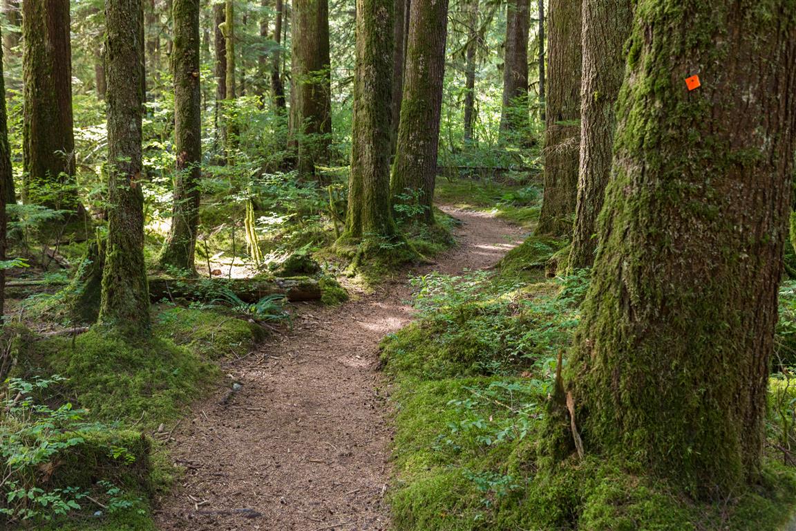
Widgeon Falls is a special place. This trip requires a canoe/kayak trip and a short hike to get to. Widgeon Falls is in Pinecone Burke Provincial Park. The canoe/kayak trip starts at north west corner of the Pitt-Addington Marsh in Pitt Meadows. The trip takes you across the Pitt River and into Widgeon Creek. When I did the trip, the water level in Widgeon Creek was low, which meant, sometimes we would have get out and drag the canoe. So, it’s advisable to take sandals for the canoe/kayak trip. The paddling ends at the Widgeon Creek campground and this is where the easy 3 km hike to the falls starts. The trail is easy to follow.
Tips:
After crossing the Pitt River, stay to the right – the water is deeper here and you are less likely to get grounded.
The canoe rental place is first come, first serve, cash only ($55 in 2017).
Canoes rent out fast on nice summer days and weekends.
Go on a weekday to avoid crowds if possible.
You can take the road trail on your return hike for less ups and downs
Pack sandals for your canoe trip.
The Stats:
Distance (canoe/kayaking): 4.5 km X 2 = 9 km
Distance (hiking): 3 km X 2 = 6 km
Distance (total): 15 km
Time (canoe/kayaking): 1 to 1.5 hours X 2 = 2 to 3 hours
Time (hiking): about 1 hour X 2 = 2 hours
Time (total moving): about 5 hours
Low point: 5 m
High point: 95 m
Elevation gain: 90 m
Parking and start of canoe/kayak: 49° 20’ 56.3” by 122° 36’ 58.4” (Google Maps and navigation)
The route with downloadable gpx…
The photos…
Widgeon FallsCanoeingA great swimming holeGreat place to swimCanoeingCanoes at the campgroundCrystal clearWidgeon CreekTrail
★★★★★★★★★★★
Before heading out on your hike, make sure you are well prepared. This means, having the TEN ESSENTIALS. It is also important to leave a trip plan (route details and estimated return time) with someone you trust.
Bring your smartphone, fully charged and put it in airplane mode while hiking. I always bring back-up battery packs for extra piece of mind. It is highly recommended that you bring a GPS device; I use my smartphone with a GPS app (Backcountry Navigator). The GPS will work in airplane mode. Learn how to use it before your hike.
For anyone new to hiking, there is a rule to which hikers follow; it is called “Leave No Trace” or LNT. The concept is generally to pack out what you pack in and respect nature, so all future visitors can enjoy what you have enjoyed.
To learn more about LNT, please check out this BLOG by a certified LNT Trainer.
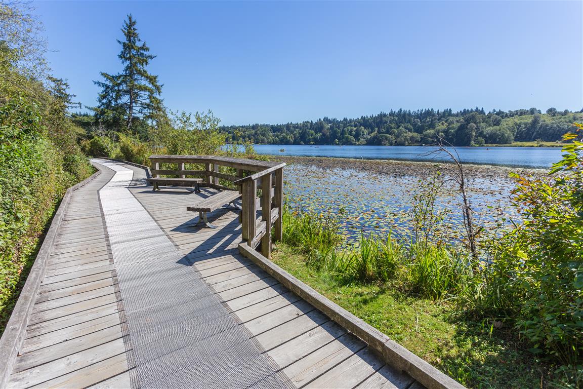
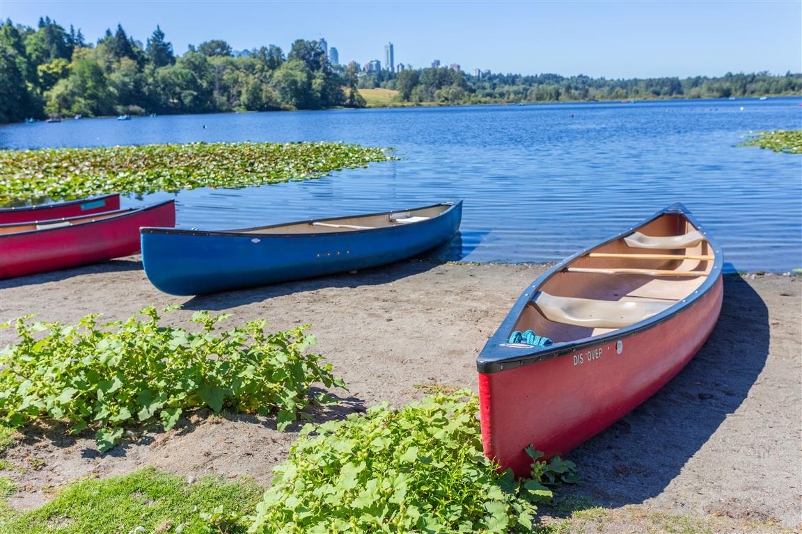
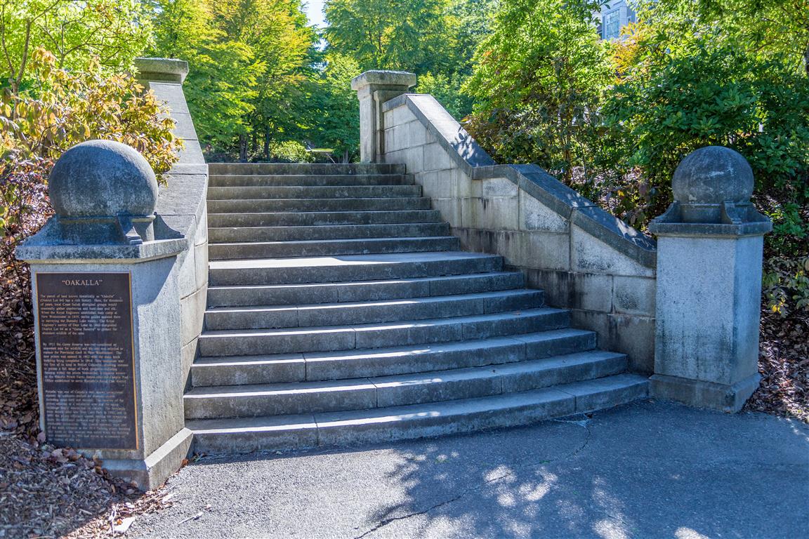
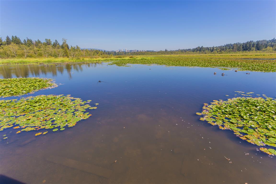
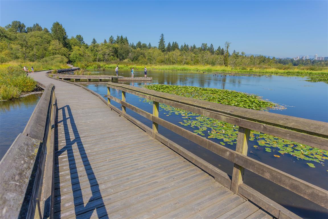
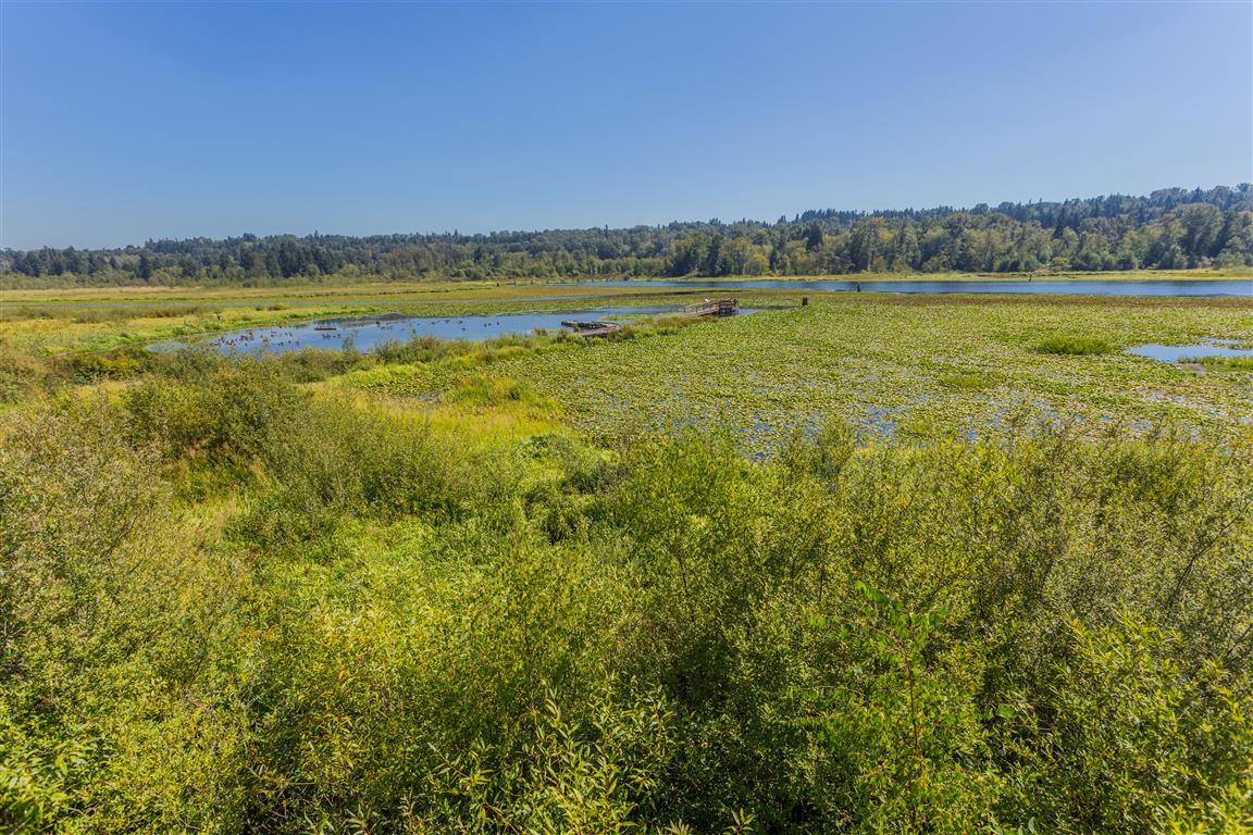
Deer lake is located near the centre of Burnaby, BC and is about 35 ha (90 acres) in area. The area is a nature oasis in the City of Burnaby. There are a number of easy walking trails and points of entry. I parked at the parking lot off Sperling Avenue. The trail around the lake is short and sweet; they are flat with many elevated boardwalks to protect the sensitive aquatic ecosystems. To add some distance to your hike, I suggest a walk up to see the original stairs for Oakalla Prison (which used to be located in the area).
Distance: 3.5 km (just lake loop)
Time: 1 hour
Low point: 20 m
High point: 38 m
Elevation gain: 18 m
Trailhead and parking: 49° 14’ 11.3” by 122° 57’ 53.5” (Google Maps and navigation)
The route with downloadable gpx…
The Photos…
Boardwalk at Deer LakeCanoes at Deer LakeDeer LakeDeer LakeDeer Lake
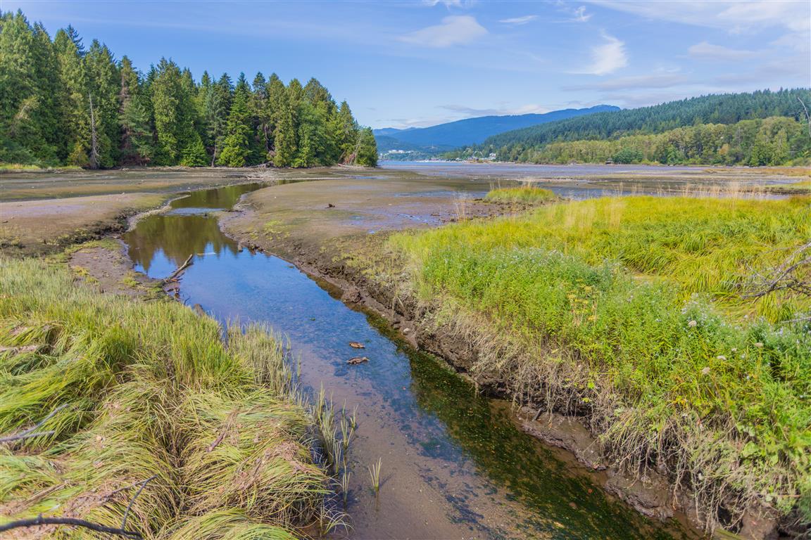
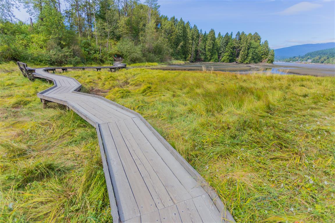
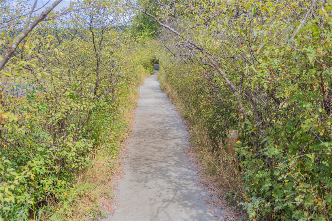
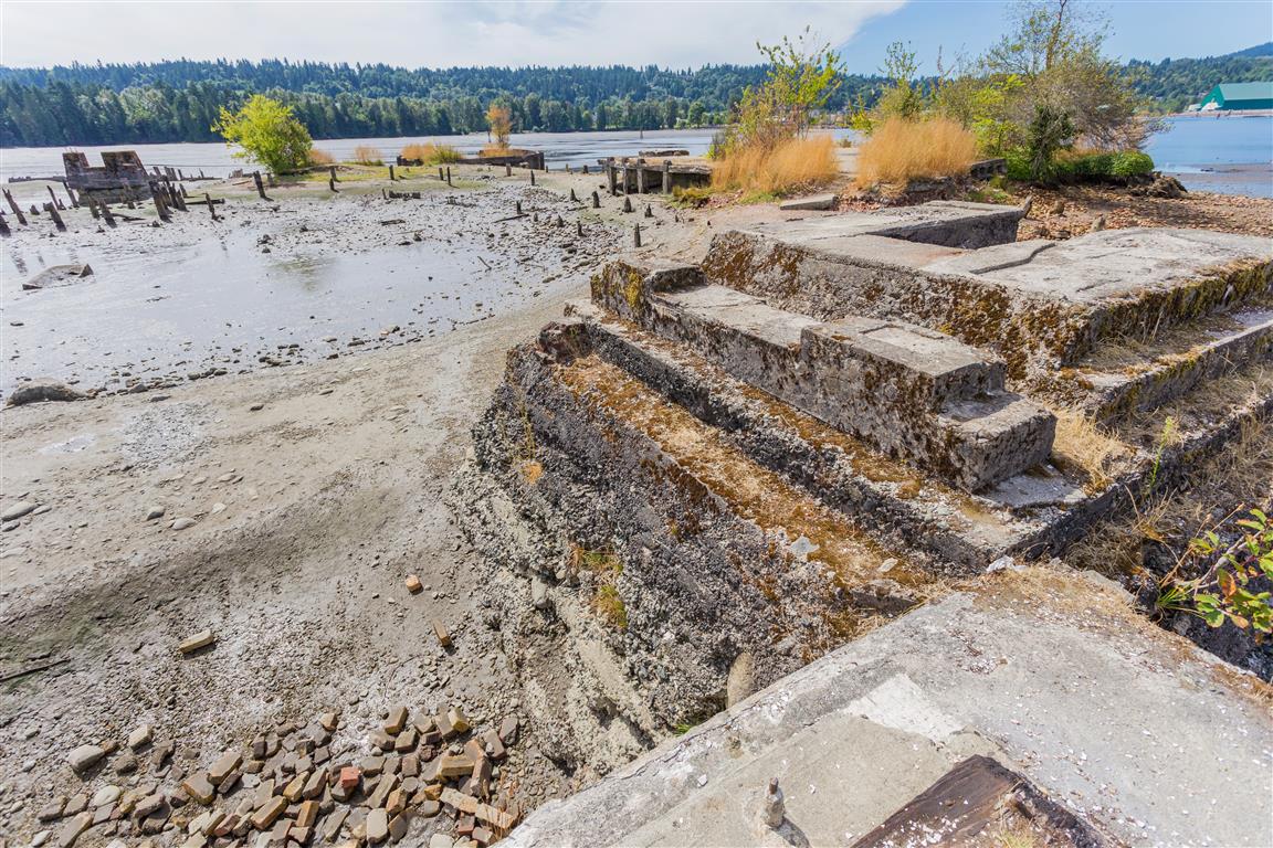
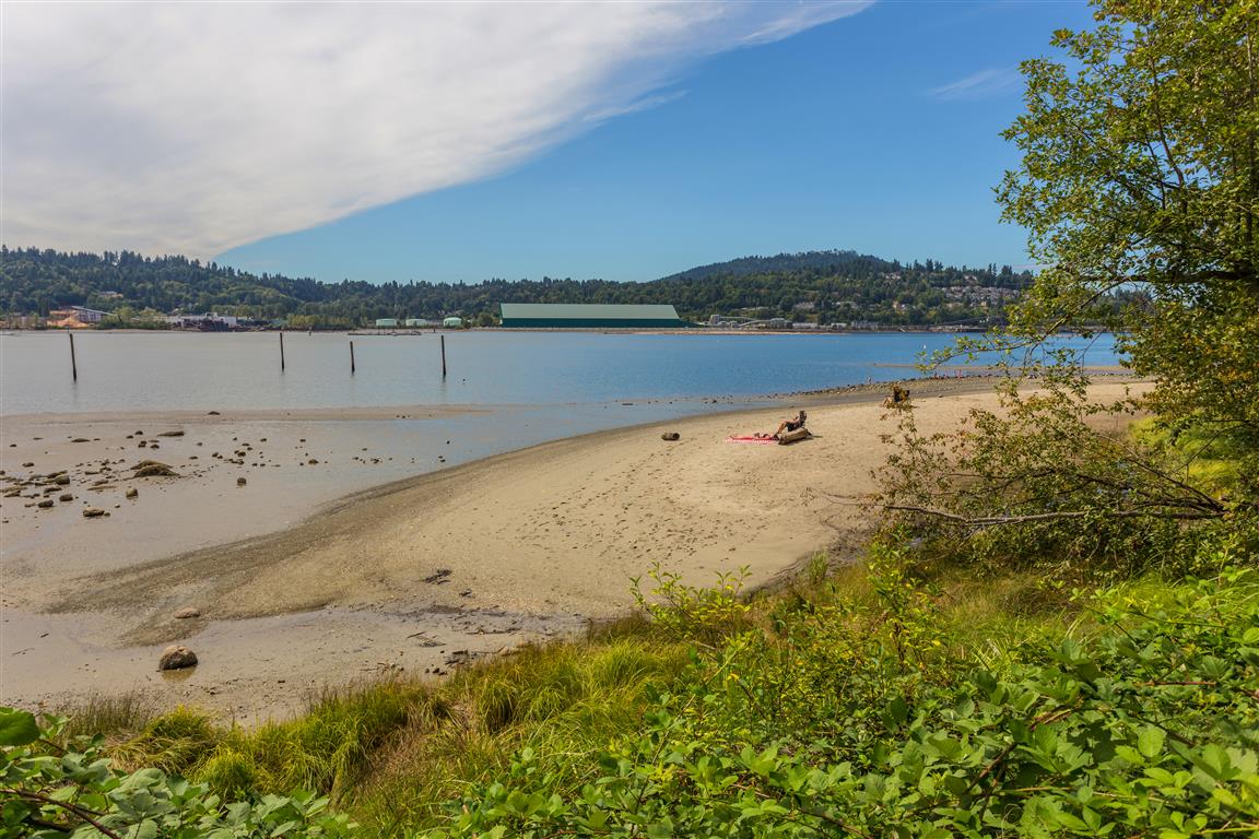
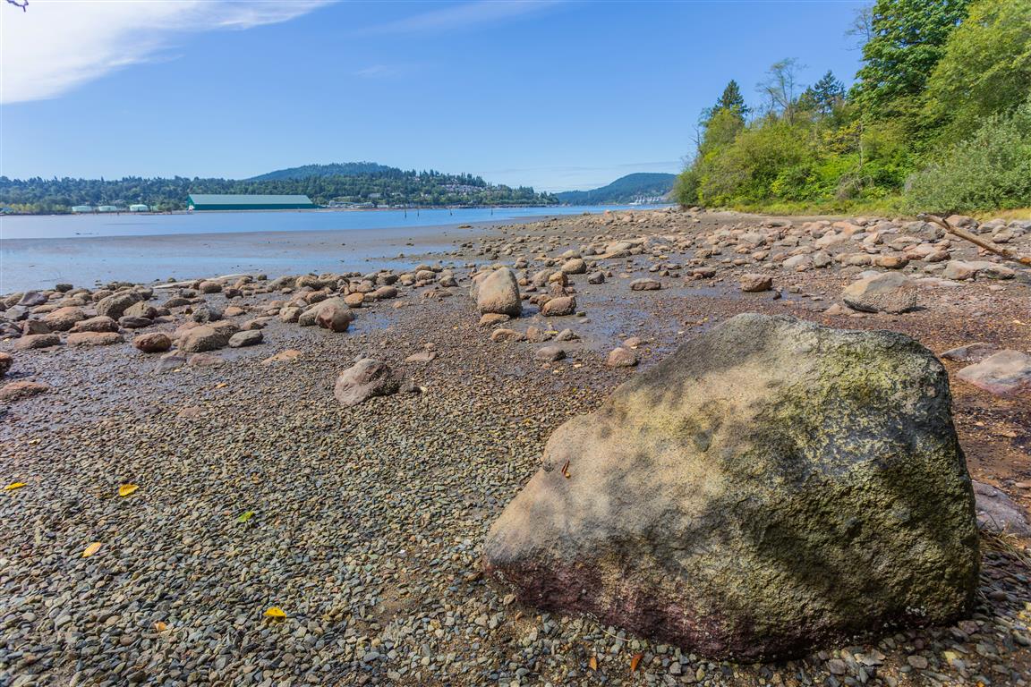
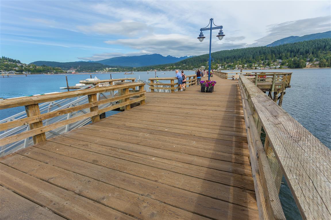
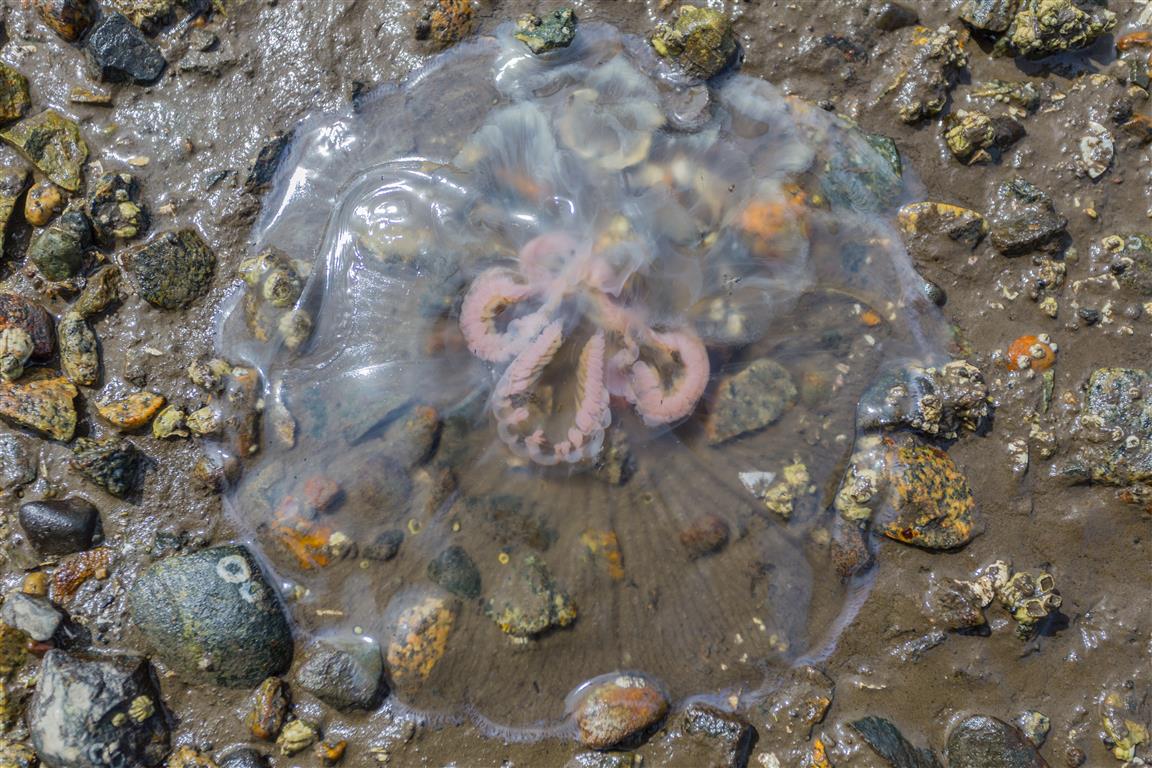
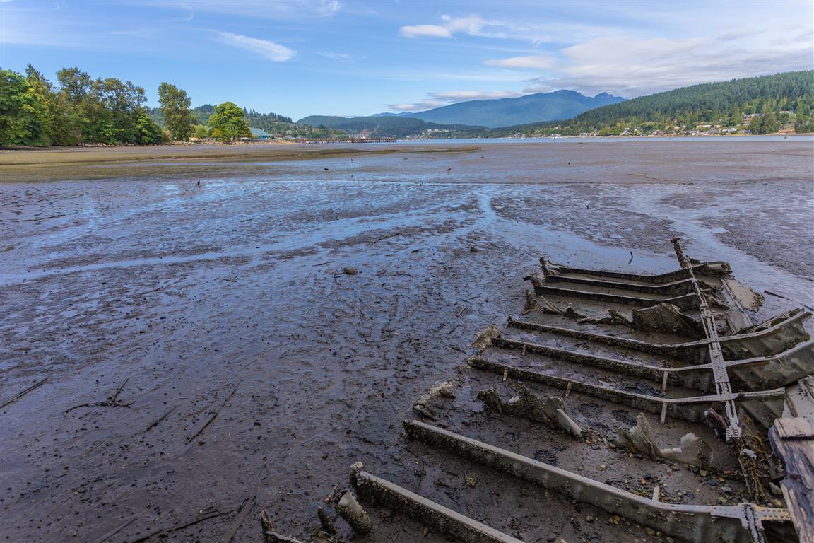
The Shoreline Trail in Port Moody is an easy hike with great views. The trail wraps around the eastern tip of Burrard Inlet starting at Rocky Point Park and ending at Old Orchard Park.
Some of the features you can see on this hike include:
The only problem with this hike is the small parking lot at Rocky Point. You can park on the street of its full – Just check first to see if there are any special events going on at Rocky Point.
The Stats:
Distance: 6 km (return)
Time: 2-4 hours
Low point: sea level
High point: sea level
Elevation gain: minimal
Parking: 49° 06’ 45” by 122° 50’ 55.1” (Google Maps and navigation)
The route with downloadable gpx…
The Photos…
Creek going into Burrard InletBoardwalk over salt marshTrailMcNair Cedar Mill Site (Click on image for more info and photos)Sandy beachRocky beachPort Moody WharfJellyfishBoat wreck
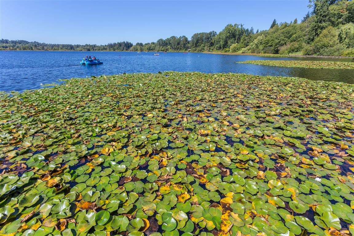
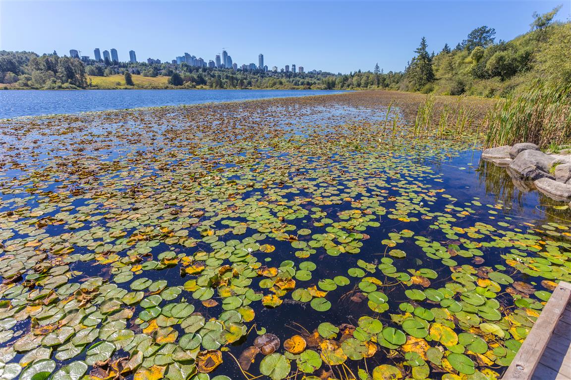
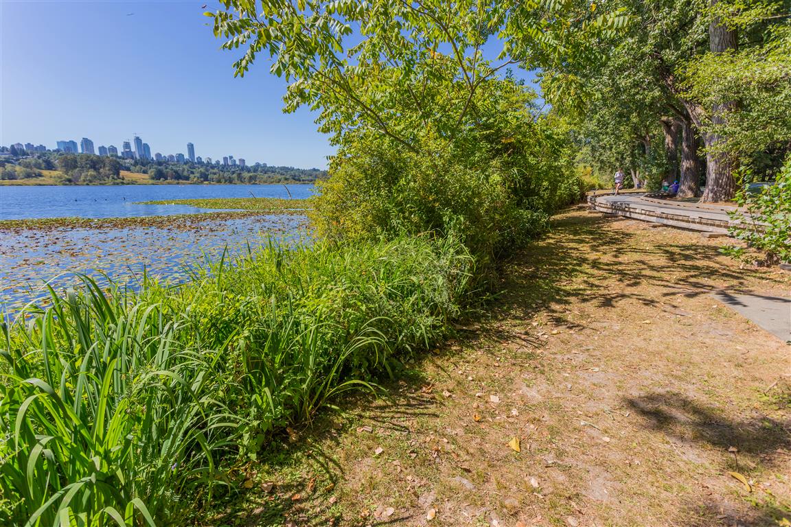
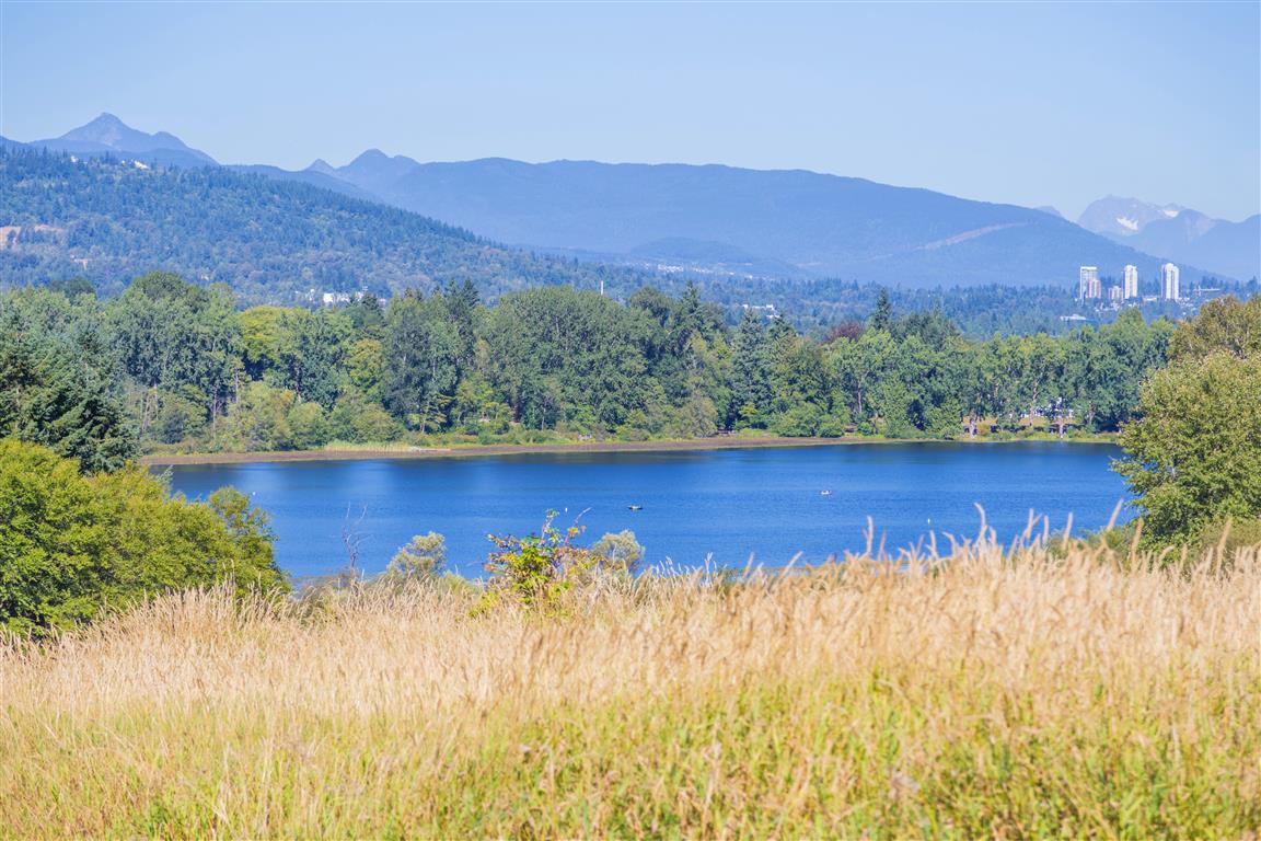
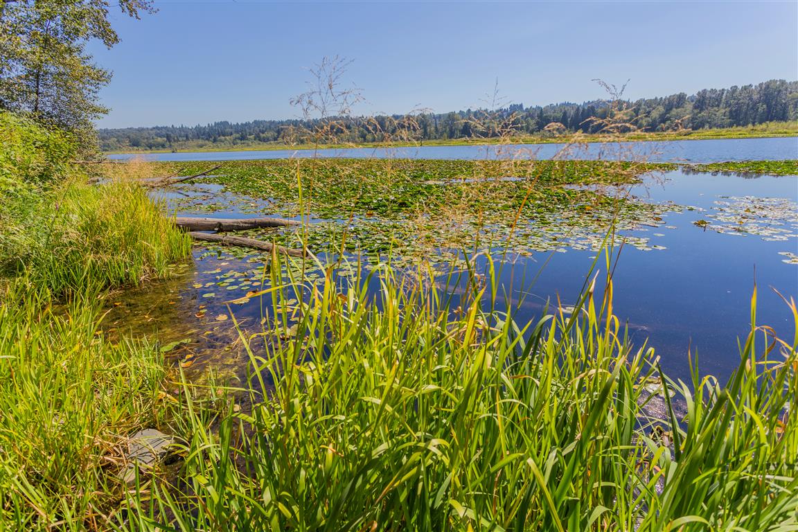
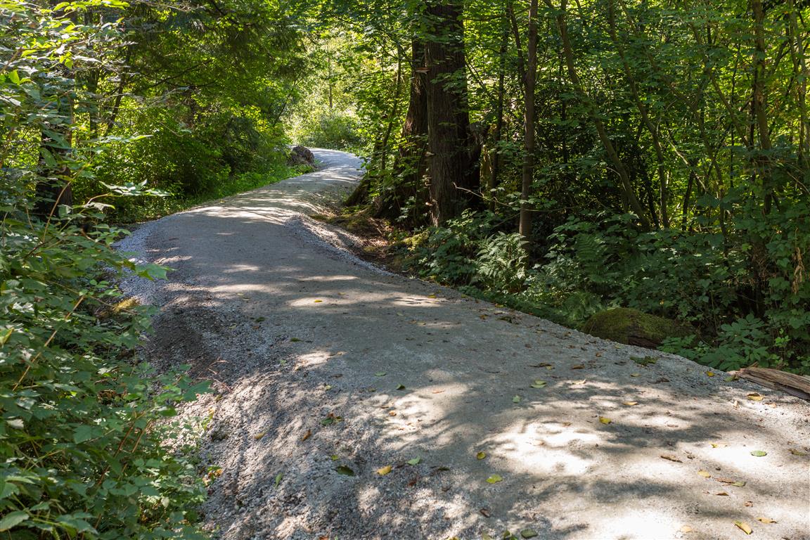
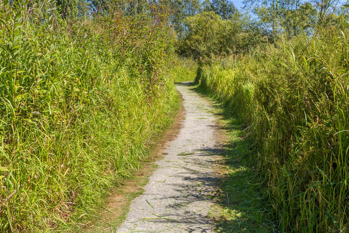
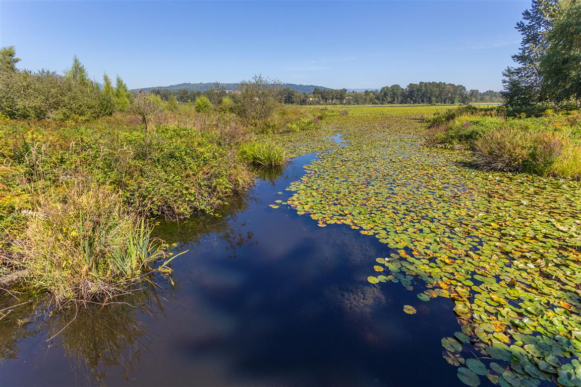
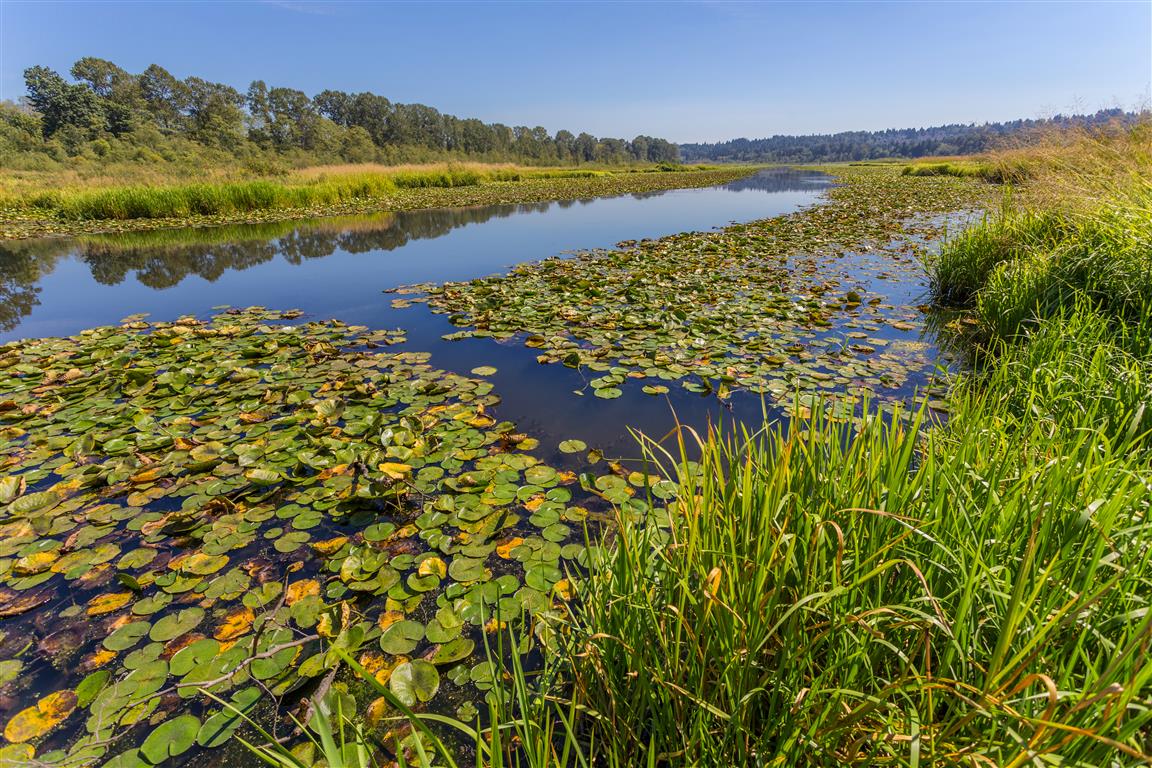
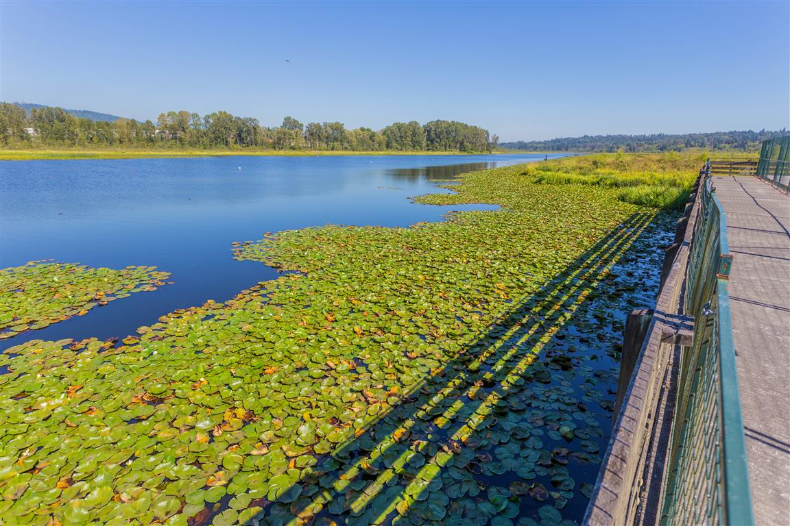
Burnaby Lake is the largest lake in Metro Vancouver and there is a trail that goes all the way around. For an added bonus, there are a number of different entry points to start your hike/walk. For my hike today, I started at the east end of the lake and parked in the Avalon Avenue parking lot.
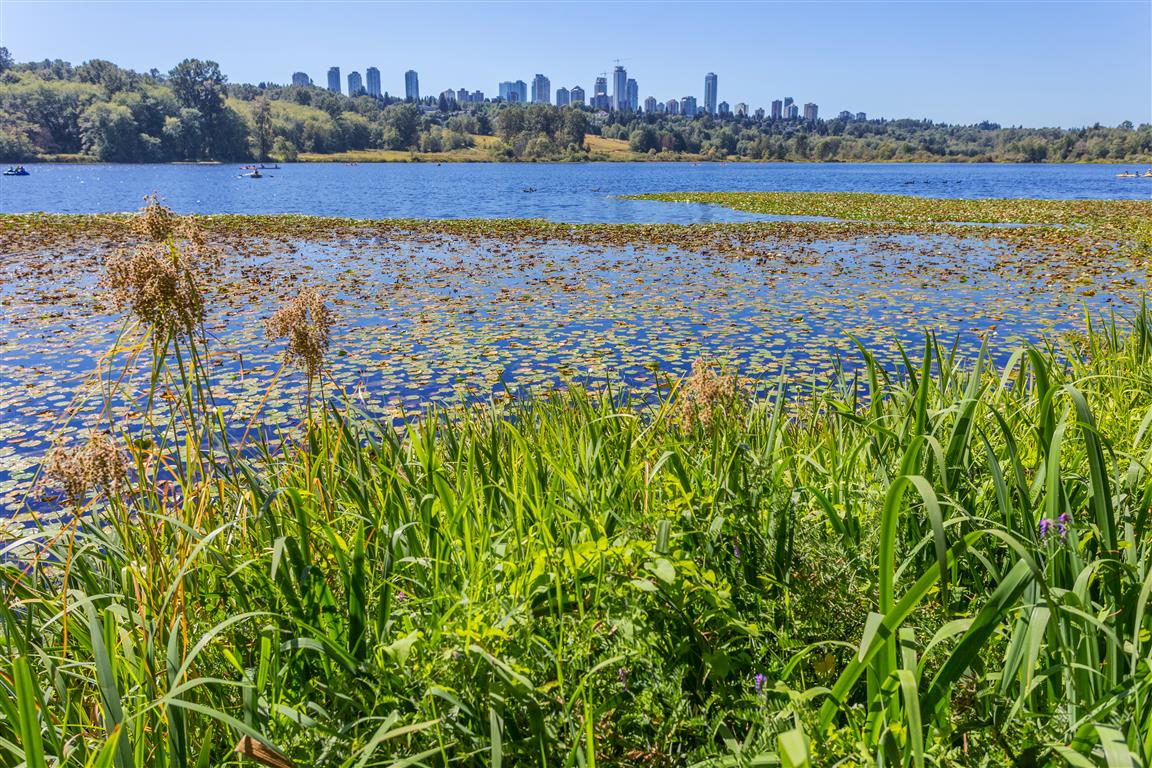
There are a number of small creeks that feed the lake, including Still Creek at the west end. The lake has a dam (Cariboo Dam), which leads to the Brunette River, which then goes to the Fraser River.
Distance: 11 km (loop)
Time: variable
Low point: 15 m
High point: 25 m
Elevation gain: minimal
Trailhead and parking: 49° 14’ 47.6” by 121° 55’ 6.0” (Google Maps and navigation)
The route with downloadable gpx…
The Photos…
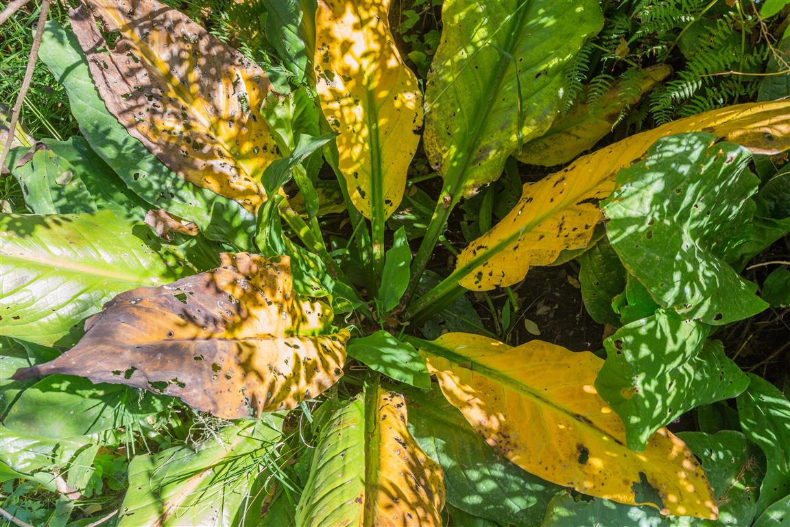
Burnaby LakeTrailTrail bounded by high grassPhillips PointDeer Lake BrookDecaying Skunk CabbageBurnaby LakeBurnaby Lake from Rowing ClubBurnaby Lake at Piper SpitBurnaby Lake at Piper SpitBurnaby Lake