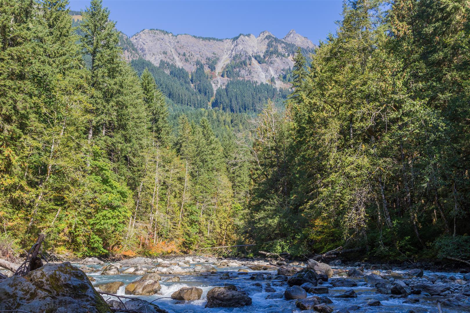
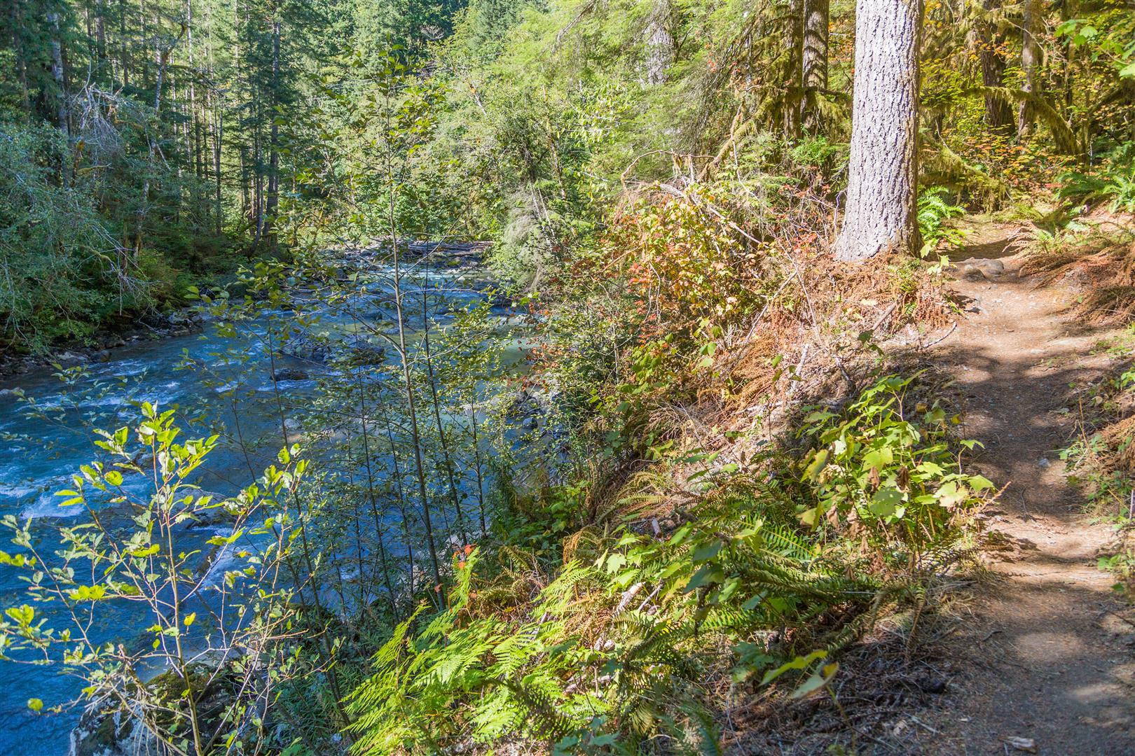
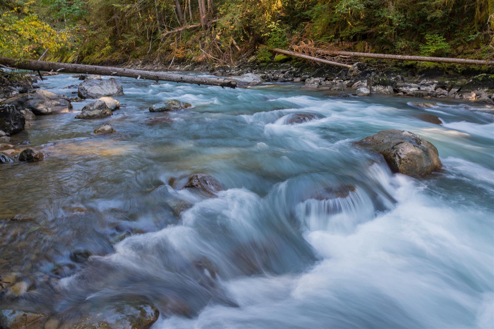
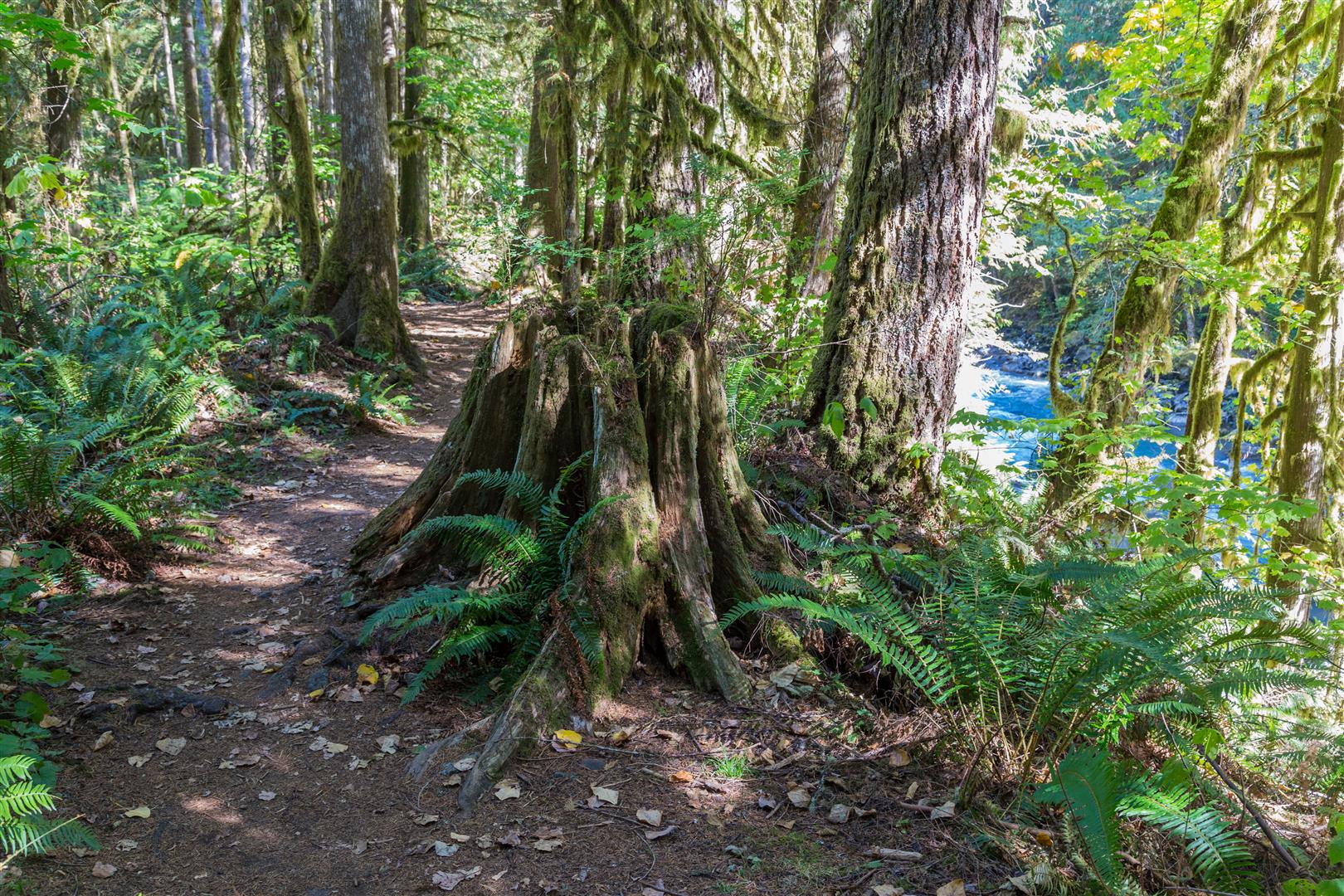
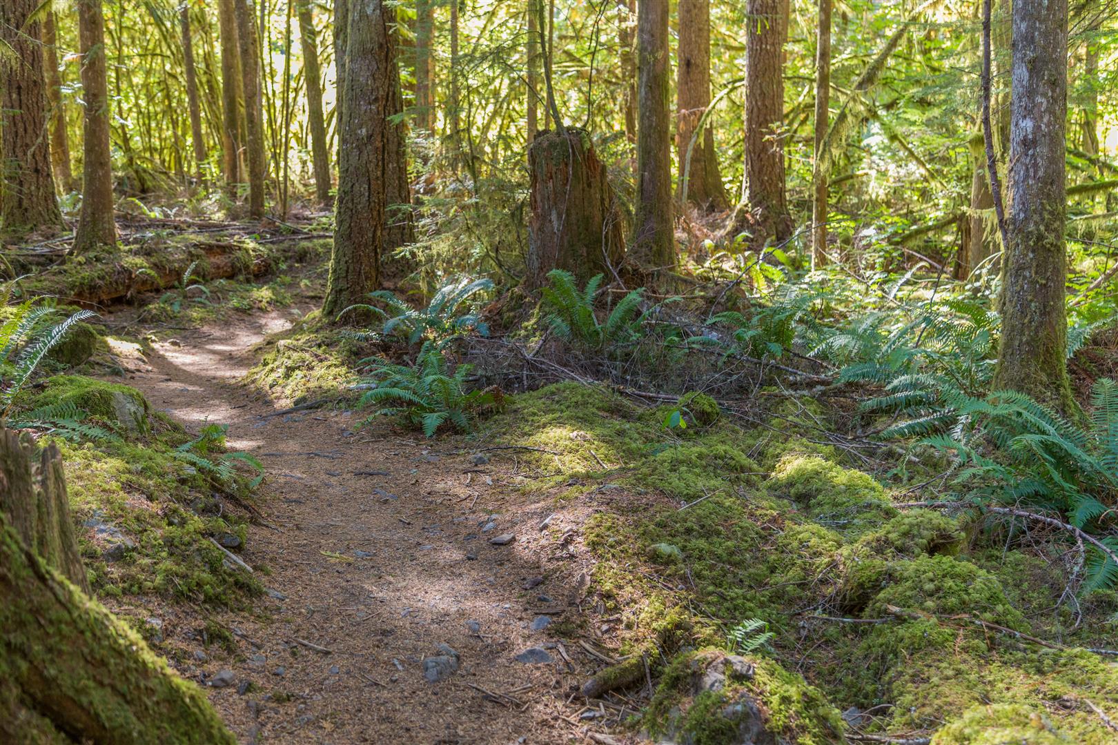
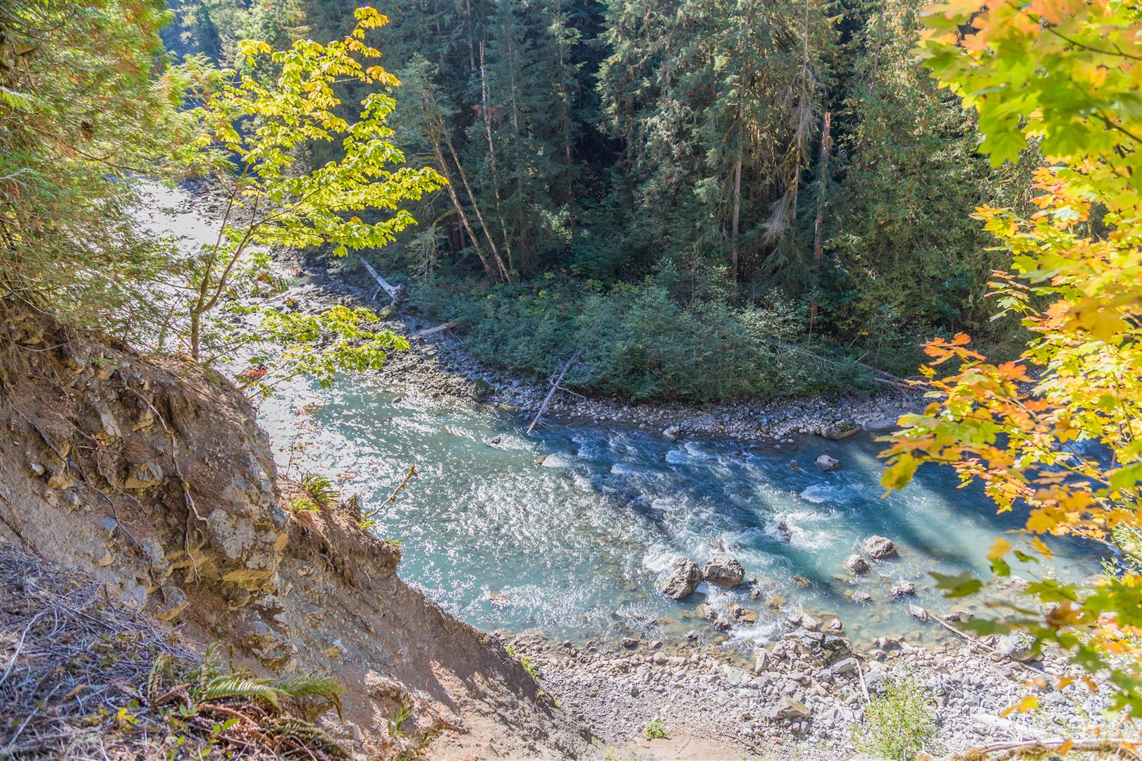
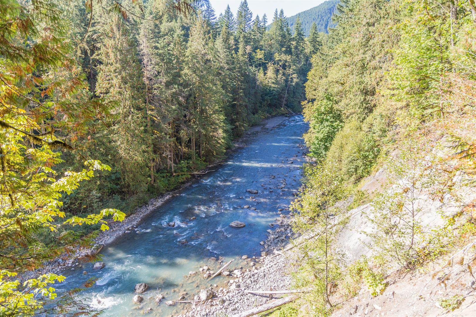
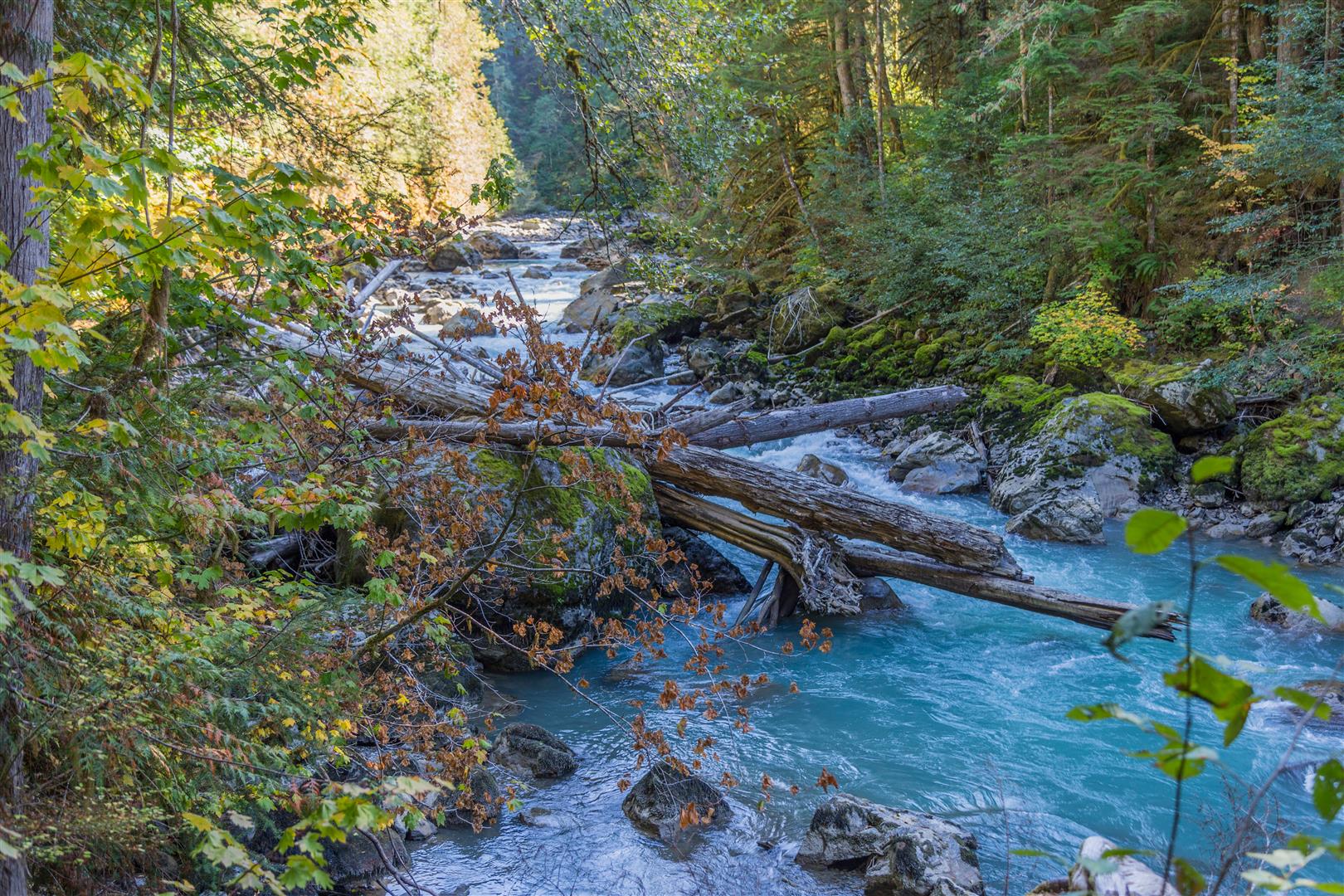
The Horseshoe Bend trail is located just off the Mt. Baker Highway, a short distance northeast of the town of Glacier. The trail starts on the banks of the North Fork of the Nooksack River (which originates from the glaciers of Mount Shuksan). This trail follows the river, crossing a number of ravines, and at the highest point you are 100 m above the Nooksack River. This is a great little trail, with some nice views and peaceful surroundings.
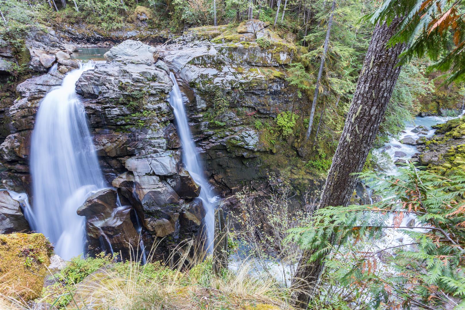
Nooksack Falls
While you’re in the area, I suggest you take a look at the nearby Nooksack Falls. It’s only 10 km (6 miles) away! I have a photo below. The location is on NF-33, just off the Mt. Baker Highway. The parking lot for the falls is here.
Permits & Border Crossing
Or you can buy an ePass in advance online at the Discover Your Northwest website.
Border crossing tips: bring your passport, Nexus, or enhanced ID. No fruit, no vegetables, no meat (this isn’t a complete list). Trail mix is okay.
A great resource for current conditions for this hike is the WTA website. Check it out!
Trail Stats
- Distance: 5 km (linear return)
- Time: 1 to 3 hours
- Low point: 299 m
- High point: 389 m
- Elevation gain: 90 m
- Cumulative elevation gain: 330 m
The Route
The actual GPS track from this hike, drawn on the map below. Green marks the start/end point.
Photos
Before You Hike
Before heading out on your hike, make sure you are well prepared. This means having the TEN ESSENTIALS. It is also important to leave a trip plan (route details and estimated return time) with someone you trust.
Bring your smartphone, fully charged, and put it in airplane mode while hiking. I always bring backup battery packs for extra peace of mind. It is highly recommended that you bring a GPS device. I use my smartphone with a GPS app (Backcountry Navigator). The GPS will work in airplane mode. Learn how to use it before your hike.
For anyone new to hiking, there is a rule that hikers follow called “Leave No Trace” or LNT. The concept is generally to pack out what you pack in and respect nature, so all future visitors can enjoy what you have enjoyed. To learn more about LNT, please check out this blog by a certified LNT Trainer.