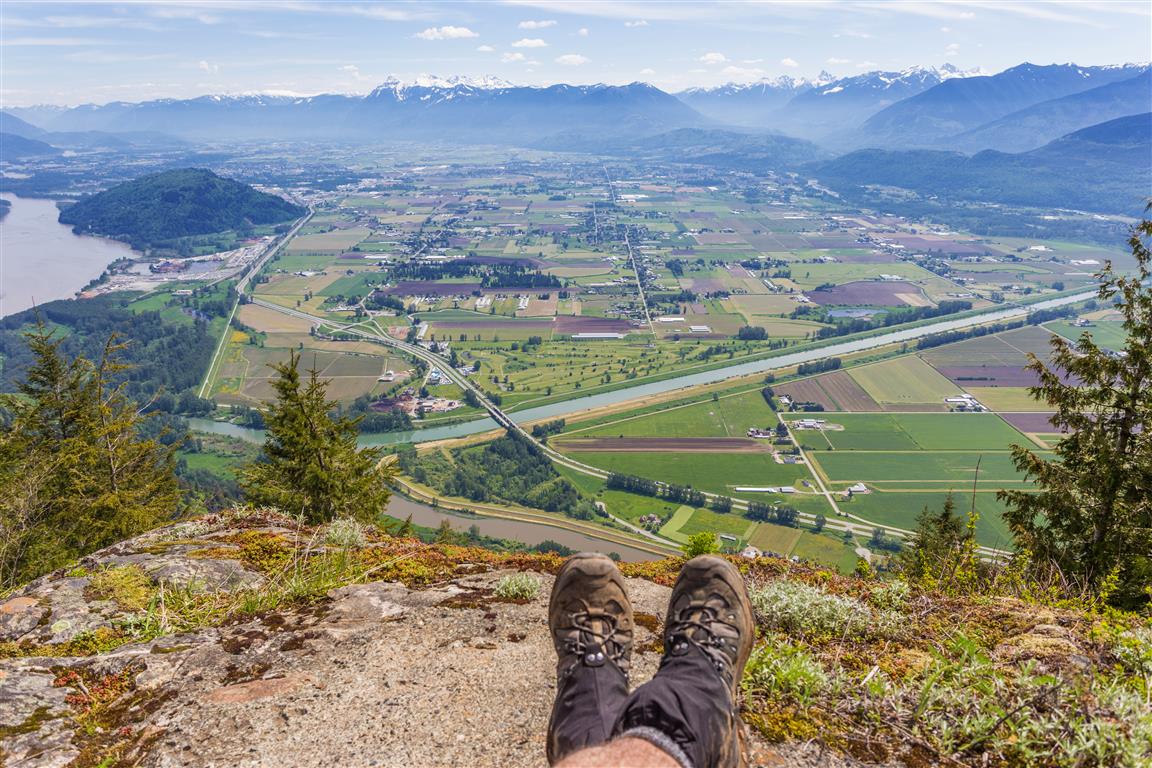
This is the Canadian Sumas Mountain, not the one across the border in Washington! Sumas Mountain is located east of Abbotsford and offers a surprisingly substantial hike through dense forest, past Chadsey Lake, and eventually to a viewpoint near the summit with excellent views across the Fraser Valley.
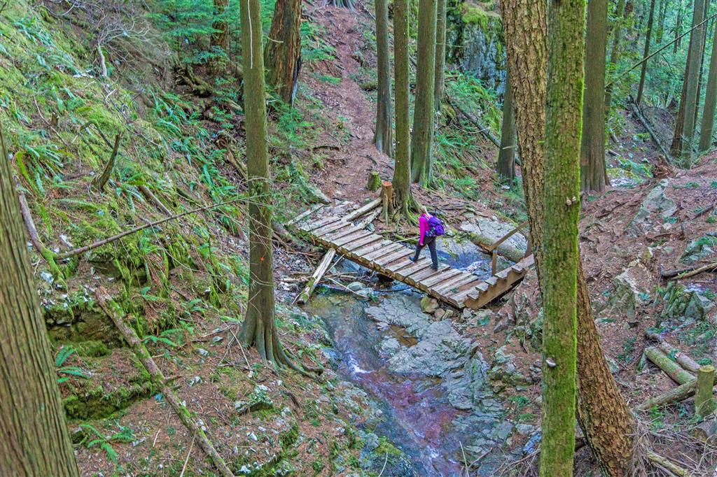
This route starts from Upper Sumas Mountain Road and enters the forest to the east. The trail initially descends gently through a ravine before beginning the long climb towards Chadsey Lake. At about the 2 km mark, the trail reaches a forest service road. Turn right, follow the road for a short distance, and then watch for the trail continuing into the forest on the left.
There is also a worthwhile viewpoint a short distance north along the forest service road. It makes a good little side trip either on the way up or on the return.
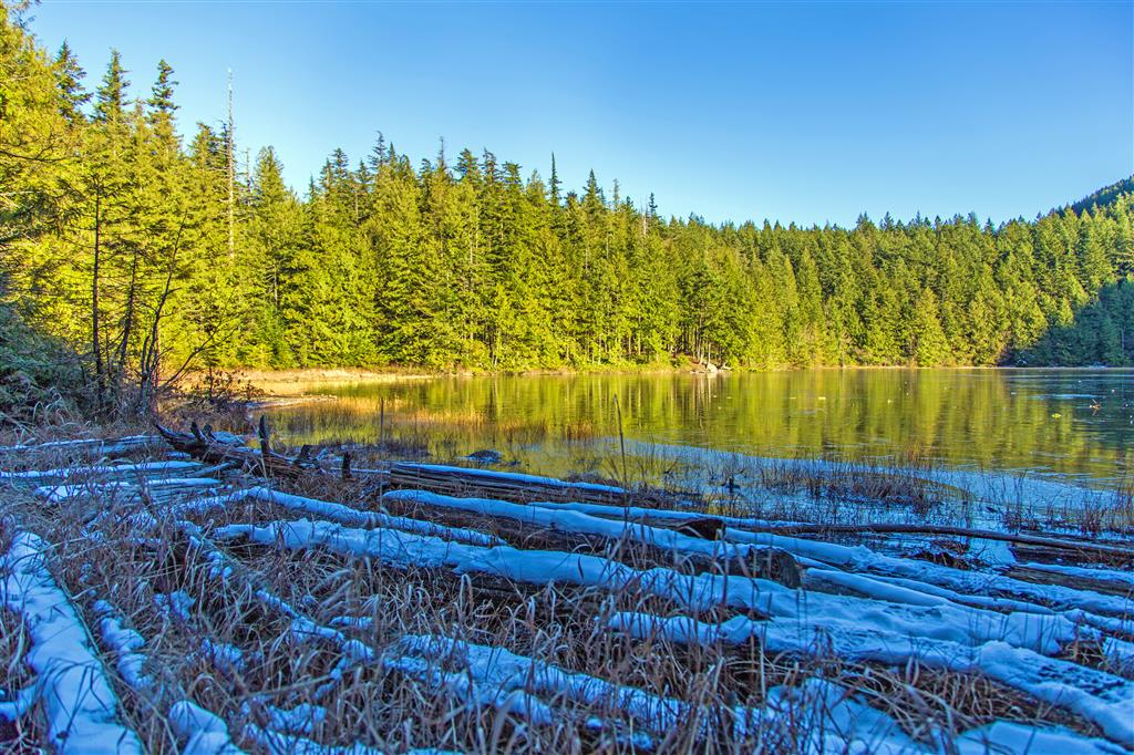
After leaving the forest service road, the trail continues climbing for approximately another 2.3 km before reaching Chadsey Lake. At the lake, follow the trail to the left and continue along the shoreline. Watch carefully for the trail that turns left and climbs towards the summit. It can be easy to miss because another trail continues around the lake.
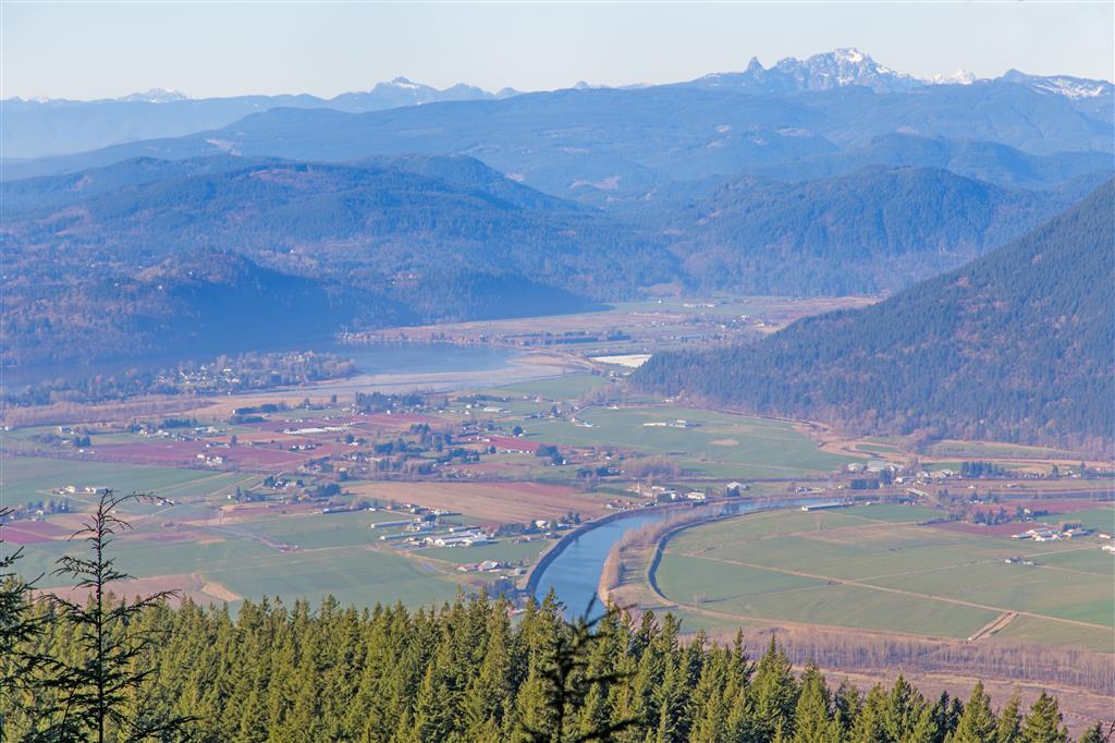
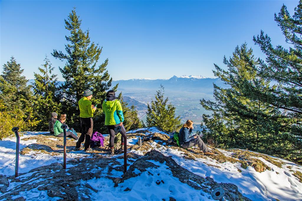
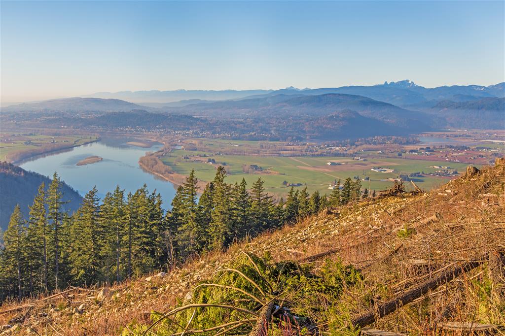
From Chadsey Lake, it is roughly another 2 km of climbing to the upper viewpoint. The reward is an excellent view over the Fraser Valley and Sumas Prairie. This is a fairly long hike with a substantial amount of cumulative elevation gain, but Chadsey Lake provides a nice break between the lower climb and the final ascent.
Interesting Facts
- Sumas Mountain Regional Park covers approximately 1,471 hectares. Its trails also connect with a much larger network of trails and forest roads extending beyond the park boundaries.
- Chadsey Lake was previously known as Lost Lake. The small forested lake sits at roughly 660 m elevation and is one of the main destinations within Sumas Mountain Regional Park.
- Sumas Mountain is within the Coastal Western Hemlock (CWH) biogeoclimatic zone. The mountain includes dry maritime, very dry maritime, and wetter maritime CWH subzones. This route climbs from the lower-elevation forest to almost 900 m, but still remains within the Coastal Western Hemlock zone rather than reaching the Mountain Hemlock zone.
- The broad, flat farmland visible from the mountain is Sumas Prairie. Part of the prairie occupies the basin of the former Sumas Lake, which was drained during the 1920s to create agricultural land and improve flood control.
- Sumas Mountain has an interesting geological history. Parts of the mountain are underlain by volcanic rocks of the Jurassic Harrison Lake Formation, along with granodiorite and quartz diorite associated with the Coast Plutonic Complex.
Trail Stats
- Distance: 14 km
- Time: 5.5 hours
- Low point: 139 m
- High point: 905 m
- Elevation gain: 766 m
- Cumulative elevation gain: 1,300 m
The Route
The actual GPS track from this hike is drawn on the map below. Green marks the start/end point. Use the layer control in the top right to switch to a satellite view.
Photos
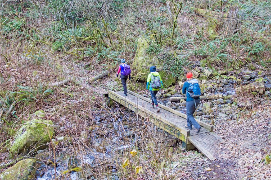
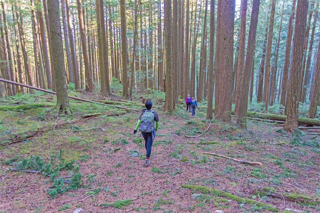
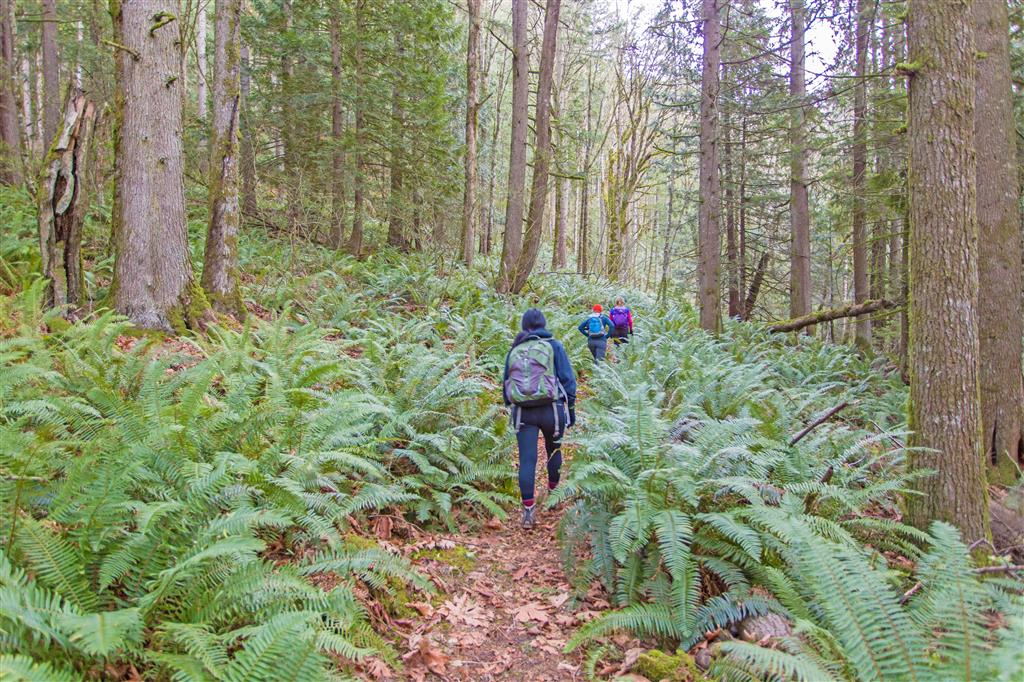
Photos from November 2015 and May 2017.
Before You Hike
Before heading out on your hike, make sure you are well prepared. This means having the TEN ESSENTIALS. It is also important to leave a trip plan (route details and estimated return time) with someone you trust.
Bring your smartphone, fully charged, and put it in airplane mode while hiking. I always bring backup battery packs for extra peace of mind. It is highly recommended that you bring a GPS device. I use my smartphone with a GPS app (Backcountry Navigator). The GPS will work in airplane mode. Learn how to use it before your hike.
For anyone new to hiking, there is a rule that hikers follow called “Leave No Trace” or LNT. The concept is generally to pack out what you pack in and respect nature, so all future visitors can enjoy what you have enjoyed. To learn more about LNT, please check out this blog by a certified LNT Trainer.