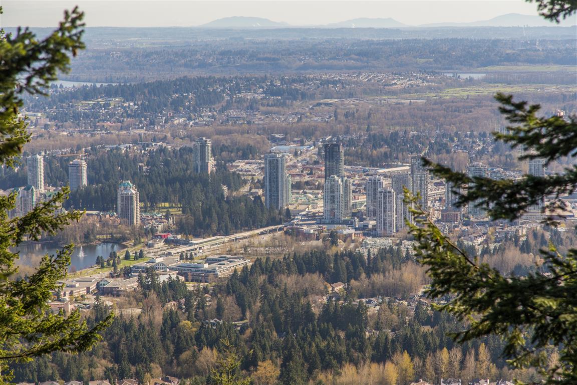
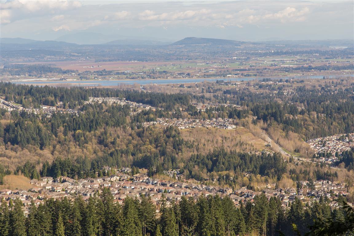
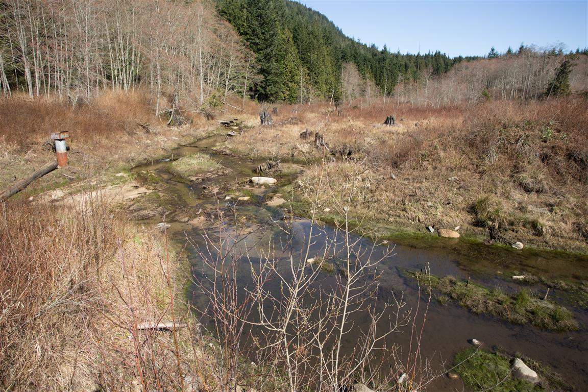
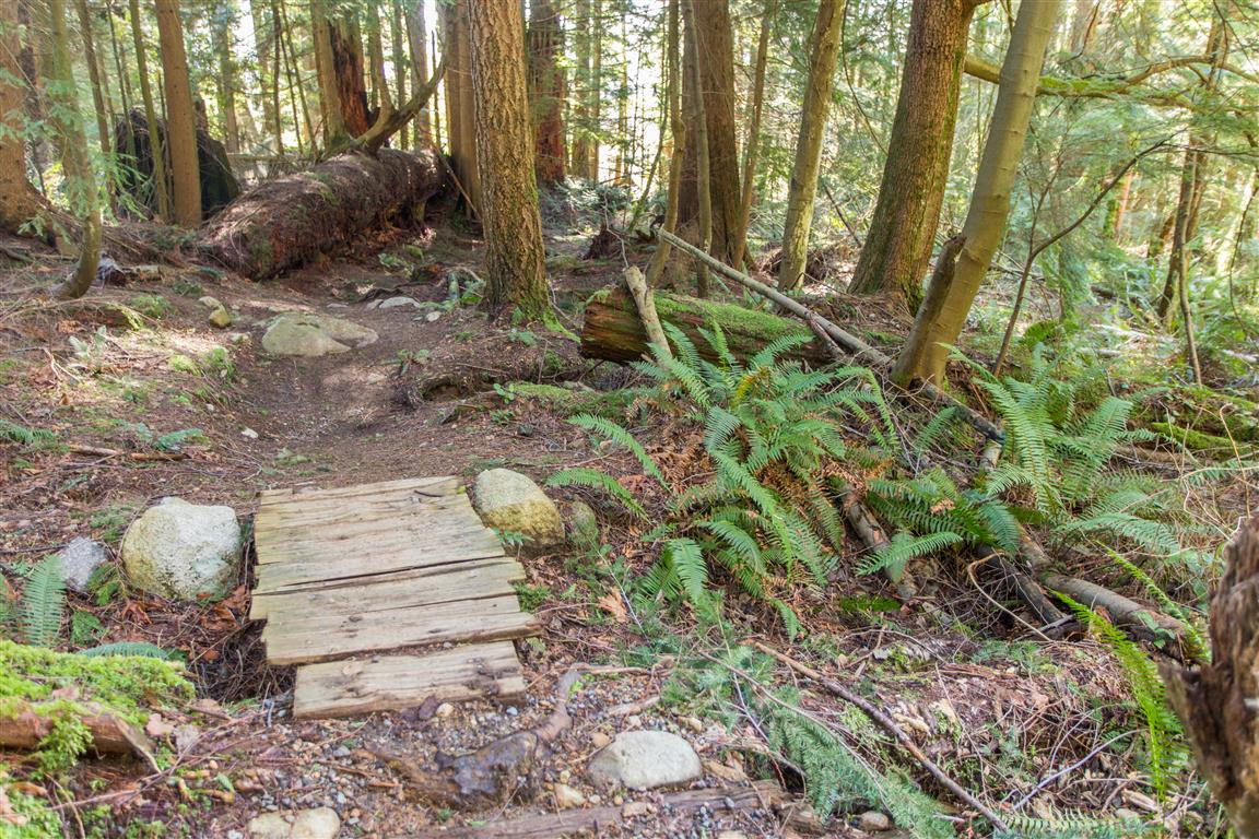
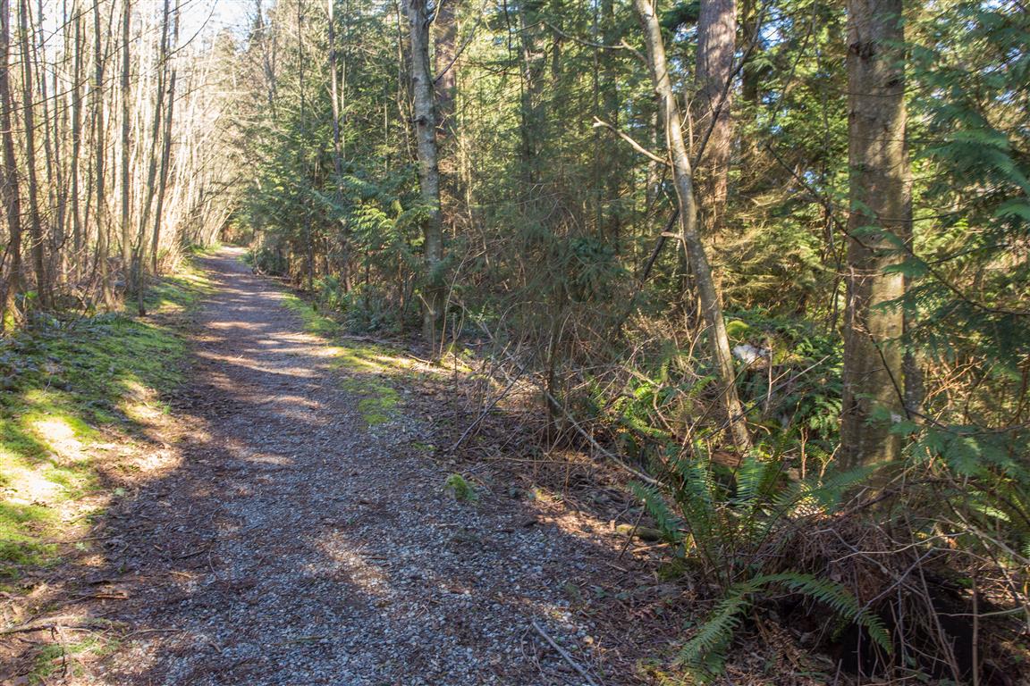
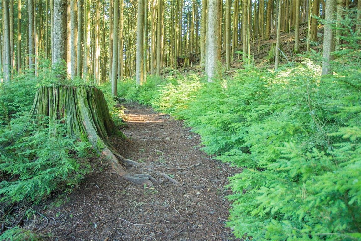
There are some great little hiking trails throughout Westwood Plateau in northeast Coquitlam, and this is one of the routes I do regularly. It combines neighbourhood streets, forest trails, mountain biking trails, gravel roads, and several parks into a loop of about 10 km.
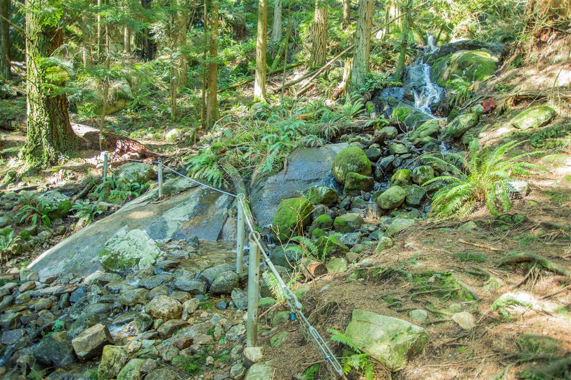
I start at Bramble Park and head down towards David Avenue. From there, I walk west along David Avenue to a trail just west of Forest Park Way that climbs alongside West Noons Creek. At the top of the residential area, there are several different options. On this route, I headed down Hickory Drive before starting uphill again near the reservoir at the end of the road.
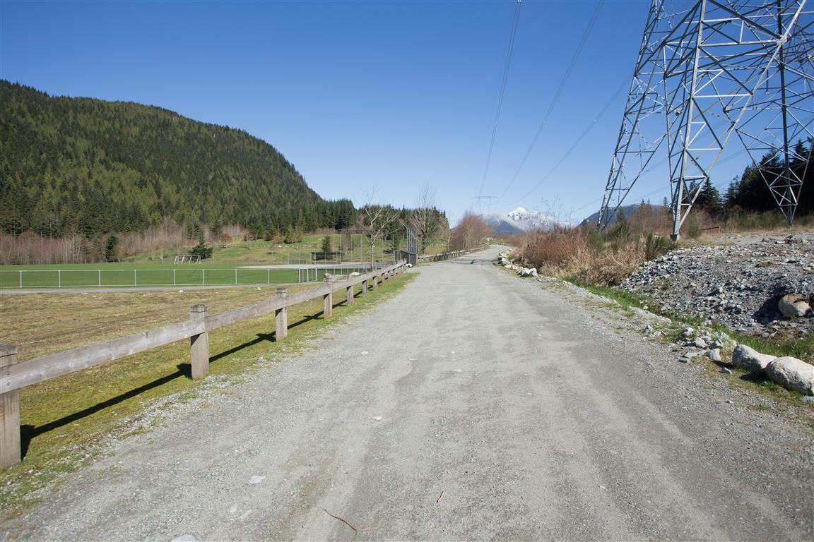
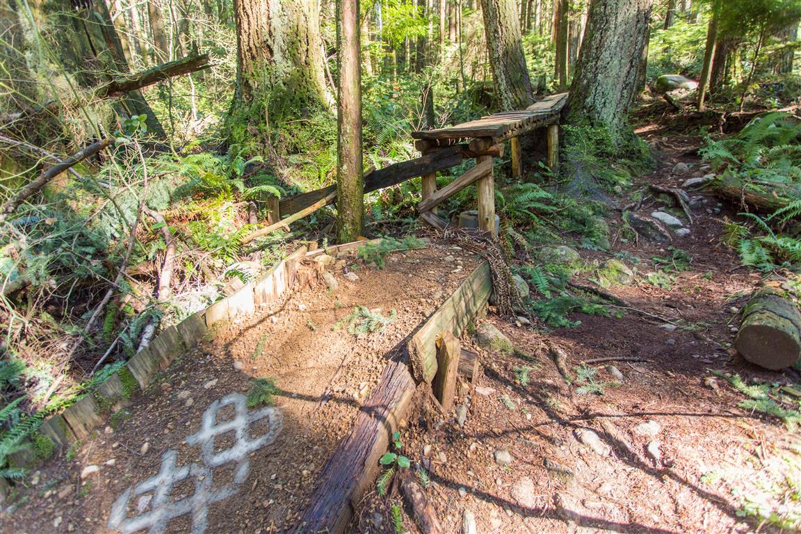
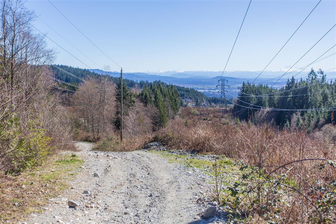
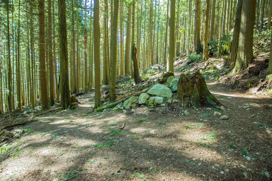
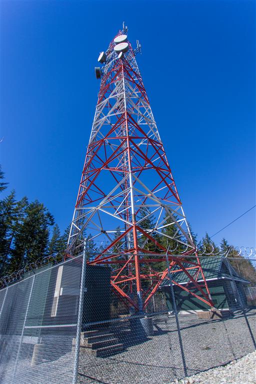
From the reservoir, the route climbs through a network of mountain biking and forest trails to the large cell tower higher on the slope. I then connect with a gravel road and head southeast towards Eagle Mountain Drive and Eagle Mountain Park.
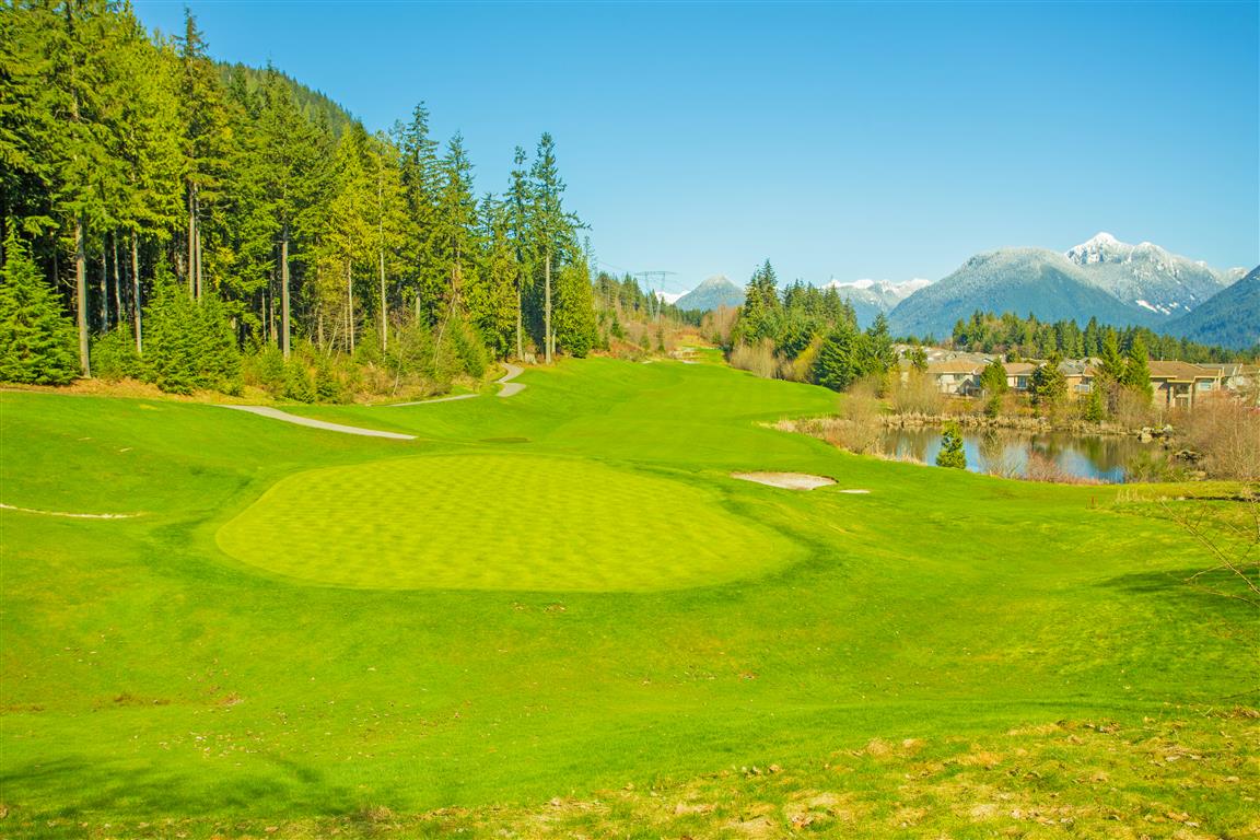
After passing through Eagle Mountain Park, I head towards the Westwood Plateau Golf Course and eventually reach Parkway Boulevard. The trail continues on the other side of the road through another network of forest trails before descending towards Panorama Drive and returning to Bramble Park. There are many trail junctions throughout this area, and I often end up taking a slightly different route each time.
Interesting Facts
- Westwood Plateau has an extensive trail network running through city parks, natural areas, and greenways. The City of Coquitlam’s trail guide identifies approximately 23 km of trails within the Westwood Plateau area alone.
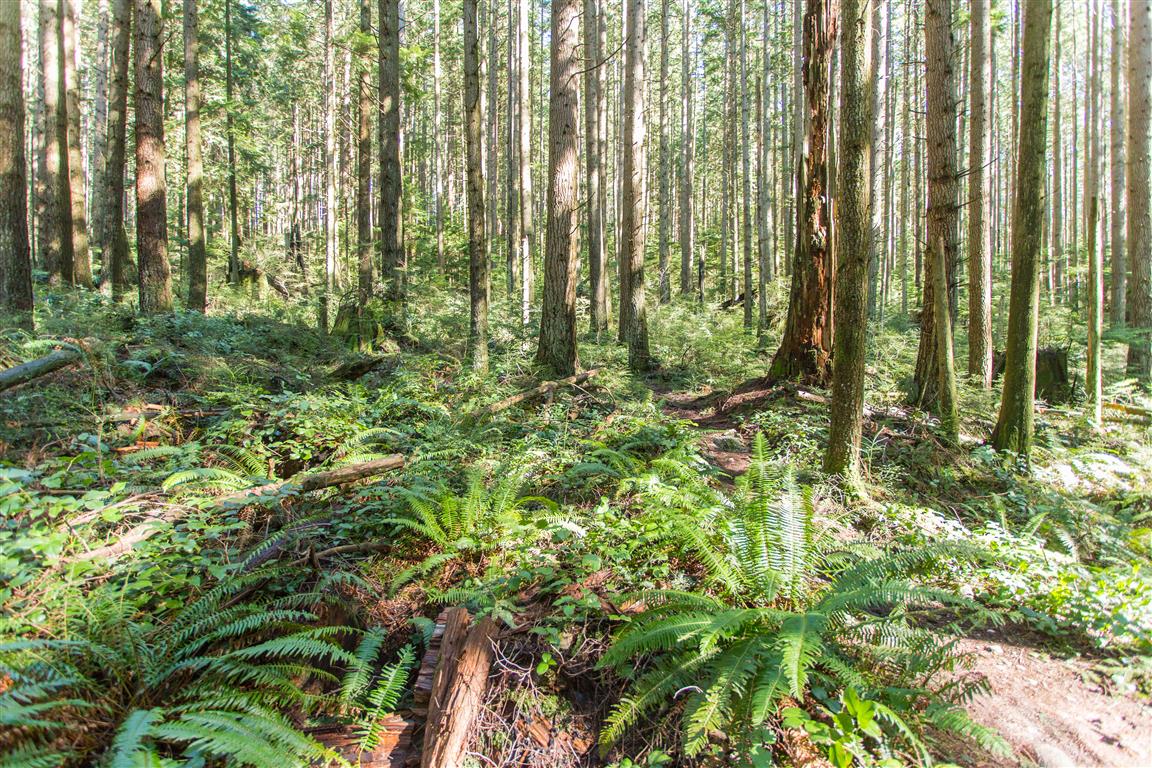
- This route is within the Coastal Western Hemlock dry maritime biogeoclimatic subzone (CWHdm). Typical forests in this part of Coquitlam include western hemlock, western red cedar, and Douglas-fir, along with species such as bigleaf maple, vine maple, sword fern, and red huckleberry.
- Bramble Park is also one of the upper access points for the Coquitlam Crunch. The Crunch now extends approximately 2.9 km from its lower trailhead to the top of Westwood Plateau and gains about 261 m of elevation.
- Eagle Mountain Park is one of Coquitlam’s higher-elevation municipal parks. Beyond the developed neighbourhood are much larger networks of forest and mountain biking trails extending farther onto Eagle Mountain.
Trail Stats
- Distance: 10 km (loop)
- Time: 2 hours
- Low point: 177 m
- High point: 459 m
- Elevation gain: 282 m
- Cumulative elevation gain: 518 m
The City of Coquitlam also has a useful trail maps and guide showing many of the trails and parks throughout Westwood Plateau.
The Route
The actual GPS track from this walk is drawn on the map below. Green marks the start/end point at Bramble Park. There are many trail junctions in the upper sections, so this map shows the particular route I followed on this outing. Use the layer control in the top right to switch to a satellite view.
Photos