Frosty Mountain is one of the classic high-elevation hikes in E.C. Manning Provincial Park. It is a long, demanding day hike with sustained climbing, a high alpine finish, loose rock near the summit, and some of the best mountain views in the park.
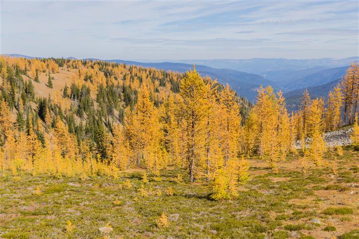
The trail is especially famous in autumn, when the alpine larches turn brilliant gold before dropping their needles. Unlike most conifers, larches are deciduous. The Frosty Mountain larch grove includes some exceptionally old trees, with BC Parks noting that alpine larches in this area can live for more than 2,000 years.
Frosty Mountain involves more than 20 km of hiking, roughly 1,150 m of elevation gain, sustained climbing, exposed alpine terrain, loose rock, and a summit above 2,400 m. You should be comfortable with long mountain hikes and prolonged uphill travel before attempting it.
Trail Stats
- Distance: approximately 21 km return
- My hiking time: approximately 8 hours, including plenty of photography stops
- BC Parks estimate: 4 to 6 hours one way
- Low point: approximately 1,250 m
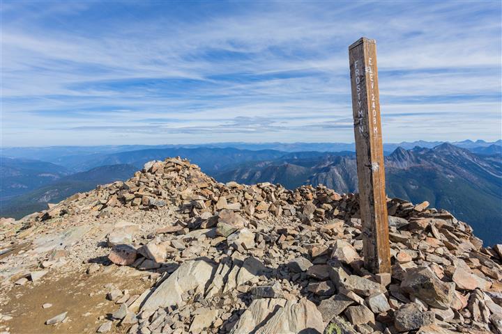
- Summit elevation: approximately 2,408 m
- Elevation gain: approximately 1,150 m
- Difficulty: Difficult
- Route: Out and back
- 📍 Trailhead: Frosty Mountain Trailhead (Lightning Lake)
The Route
The hike begins at the Lightning Lake day-use area and climbs steadily toward Frosty Mountain. My GPS recording covers approximately 10.5 km from the trailhead to the summit; the return follows essentially the same route.
The interactive map below shows my actual GPS track to the summit. Green marks the trailhead and red marks the summit. Use the layer control in the upper-right corner to switch between the regular map and satellite imagery.
The Climb from Lightning Lake
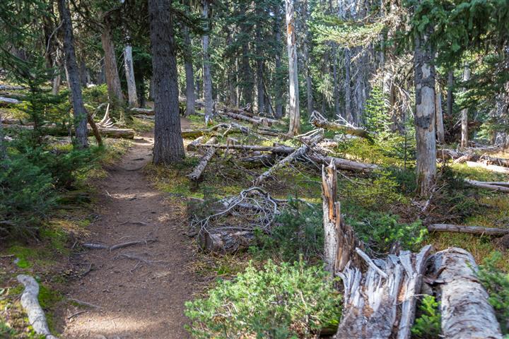
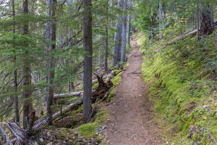
The trail begins near Lightning Lake and immediately starts climbing through the forest. The first several kilometres are not especially technical, but the climbing is steady and persistent. This is the kind of trail where the total elevation gain gradually adds up rather than arriving in one short, steep section.
After roughly 5 km, the grade becomes easier for a while and the trail rolls through a flatter section before reaching Frosty Creek.
Frosty Creek and the Larch Grove
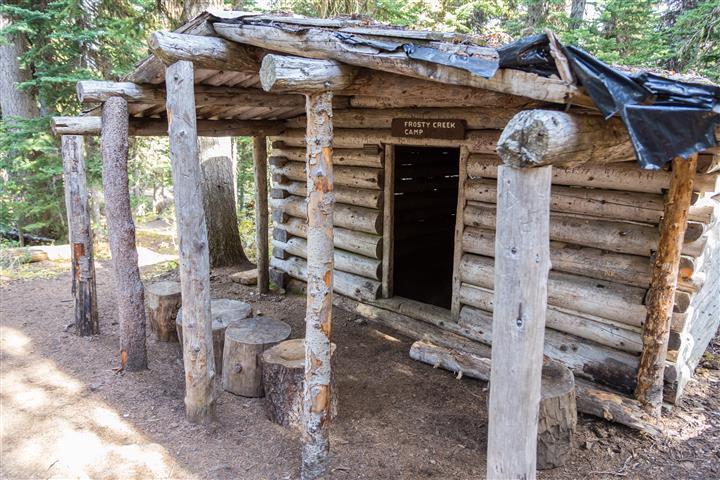
Frosty Creek Campground is about 7 km from Lightning Lake. Shortly beyond the campground, the trail starts climbing again and enters the alpine larch grove.
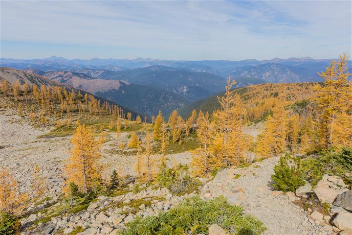
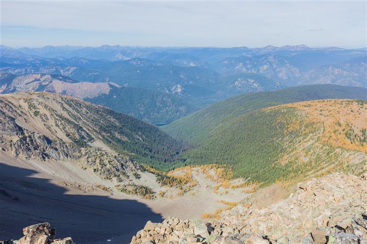
The larches begin roughly half a kilometre beyond the campground and continue for around 1.5 km. In autumn, this section can be spectacular. The needles change from green to brilliant yellow before falling for the winter.
The timing varies from year to year, but the best colour is often around late September into early October. I timed my hike well and had a great display of golden larches on the way toward the summit.
Into the Alpine
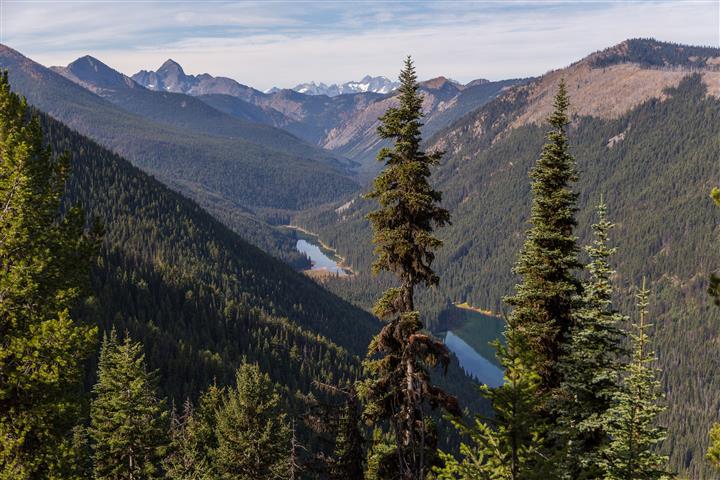
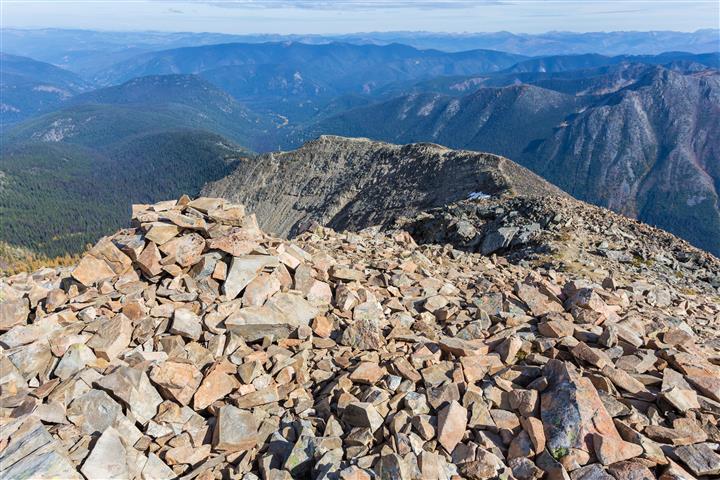
As you climb higher, the forest opens and the mountain scenery becomes much more dramatic. The terrain becomes increasingly rocky above roughly 2,200 m.
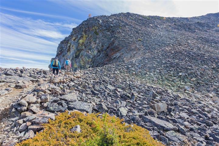
The upper section crosses loose rock and scree. The route is considerably rougher here than the lower forest trail, and careful footing is important, especially when descending.
The final approach includes loose rock, scree, exposed alpine terrain, and sections where the route is less obvious than in the forest below. Weather can also change quickly at this elevation.
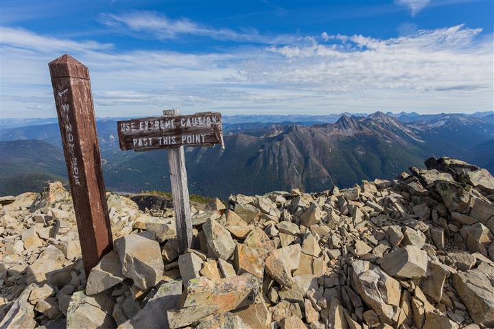
The Ridge and Summit
Once you reach the ridge, the views open dramatically in almost every direction. From here, the route follows the ridge toward the summit of Frosty Mountain.
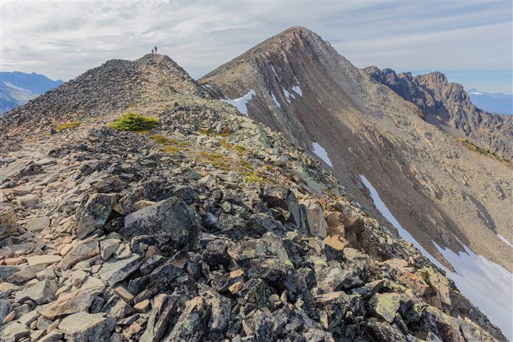
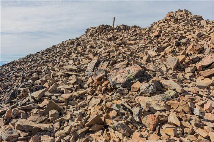
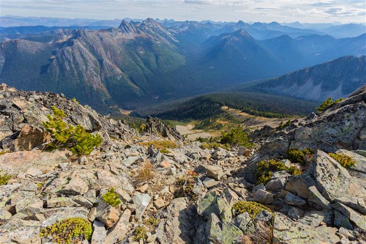
The summit sits at approximately 2,408 m and provides sweeping views across the surrounding Cascade Mountains. On a clear day, the panorama is the reward for a very long climb.
More Photos from the Hike
Before You Go
Frosty Mountain is a full-day mountain hike. Start early, carry enough food and water, wear appropriate footwear, and be prepared for large temperature differences between Lightning Lake and the summit.
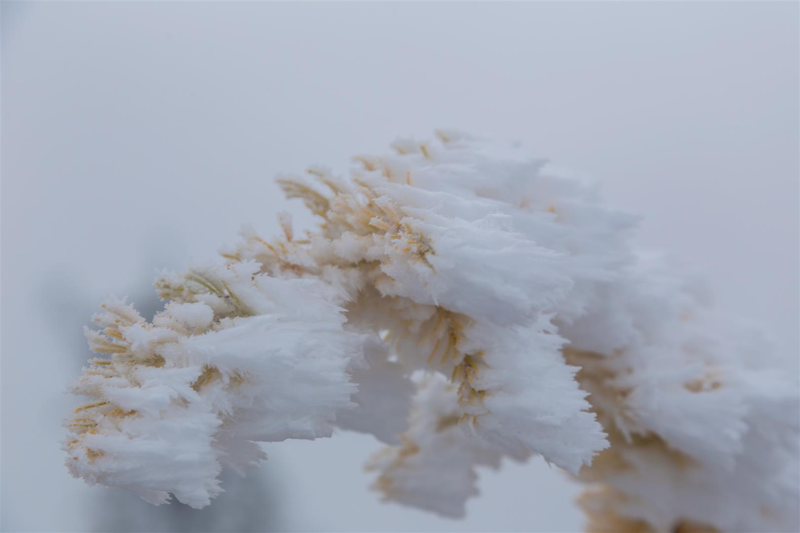
There is no reliable cellular service in E.C. Manning Provincial Park, so download an offline map or GPS route before starting. Weather and trail conditions can change quickly at high elevation, and snow can remain or return outside the main summer hiking season.
For current trail conditions and advisories, check the BC Parks E.C. Manning Park page before heading out.