Elk Mountain and Mount Thurston make a rewarding ridge hike above Chilliwack, with expansive views over the Fraser Valley, Chilliwack River Valley, Slesse Creek Valley, Mount Baker, and the surrounding Cascade Mountains.
The first objective is Elk Mountain, reached after a steep forest climb. From Elk, the trail continues east along a much quieter ridge toward Mount Thurston. I completed the full out-and-back to Mount Thurston on a warm June day when the alpine flowers were in bloom and only a handful of other hikers were on the upper route.
Many hikers turn around at Elk Mountain. Continuing to Mount Thurston adds several kilometres of exposed ridge travel, additional climbing, and considerably more time in the mountains. Carry enough water, start early, and be prepared for changing weather.
Trail Stats
My uploaded GPS file contains the outbound route from the trailhead to Mount Thurston. I returned along essentially the same route.
- Distance: approximately 13.8 km return
- Low point recorded by GPS: approximately 657 m
- High point recorded by GPS: approximately 1,591 m
- Net elevation gain: approximately 934 m
- Recorded cumulative elevation gain: approximately 1,220 m
- Difficulty: Challenging
- Route: Out and back via Elk Mountain to Mount Thurston
For comparison, the standard Elk Mountain hike is considerably shorter. The City of Chilliwack describes Elk Mountain alone as approximately 8.2 km return with about 790 m of elevation gain. Continuing along the ridge to Mount Thurston makes this a much bigger day.
Getting There
The trailhead is reached through the Ryder Lake area southeast of Chilliwack. The final approach includes unpaved mountain road, and winter snow can affect access.
Road and trail conditions can change with snow, storms, fallen trees, and maintenance. Check current Fraser Valley Regional District park and trail information before heading out.
Interesting Facts
- Two very different hikes: Elk Mountain is a popular destination on its own, while the continuation to Mount Thurston is quieter and substantially longer. The City of Chilliwack trail network identifies the complete route as the Elk–Thurston Trail.
- Elk Mountain: Elk Mountain reaches approximately 1,430 m and offers broad views over the Fraser Valley and toward the Chilliwack River Valley.
- Mount Thurston: The ridge continues east to Mount Thurston at approximately 1,600 m. The upper portion is more open and receives considerably less traffic than the Elk Mountain section.
- Biogeoclimatic zones: The Chilliwack mountain area spans the Coastal Western Hemlock and Mountain Hemlock biogeoclimatic zones. The hike begins in dense lower-elevation coastal forest and climbs into cooler subalpine forest and increasingly open meadow and ridge terrain characteristic of the Mountain Hemlock zone.
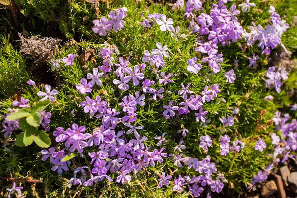
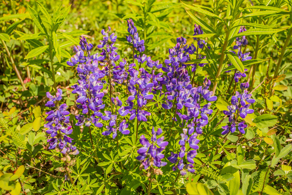
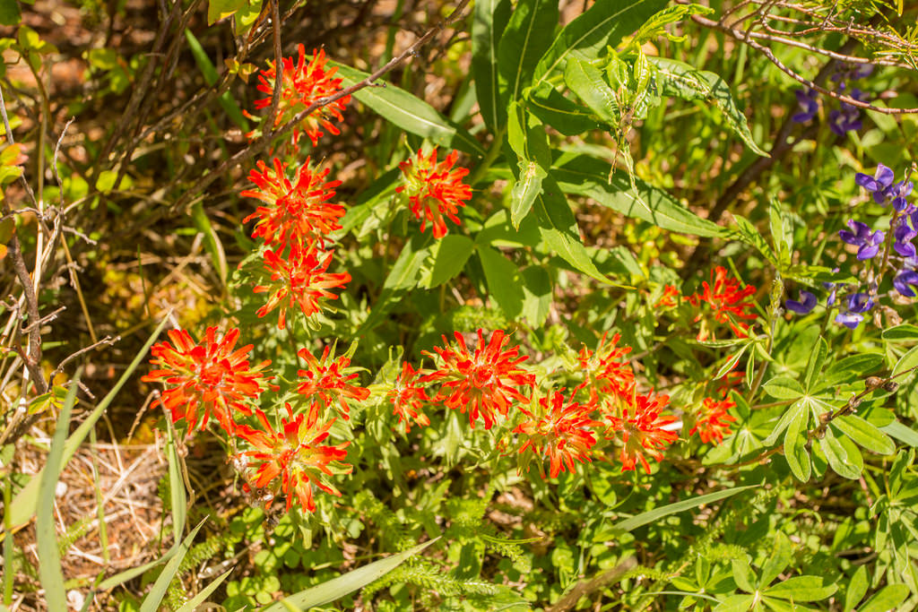
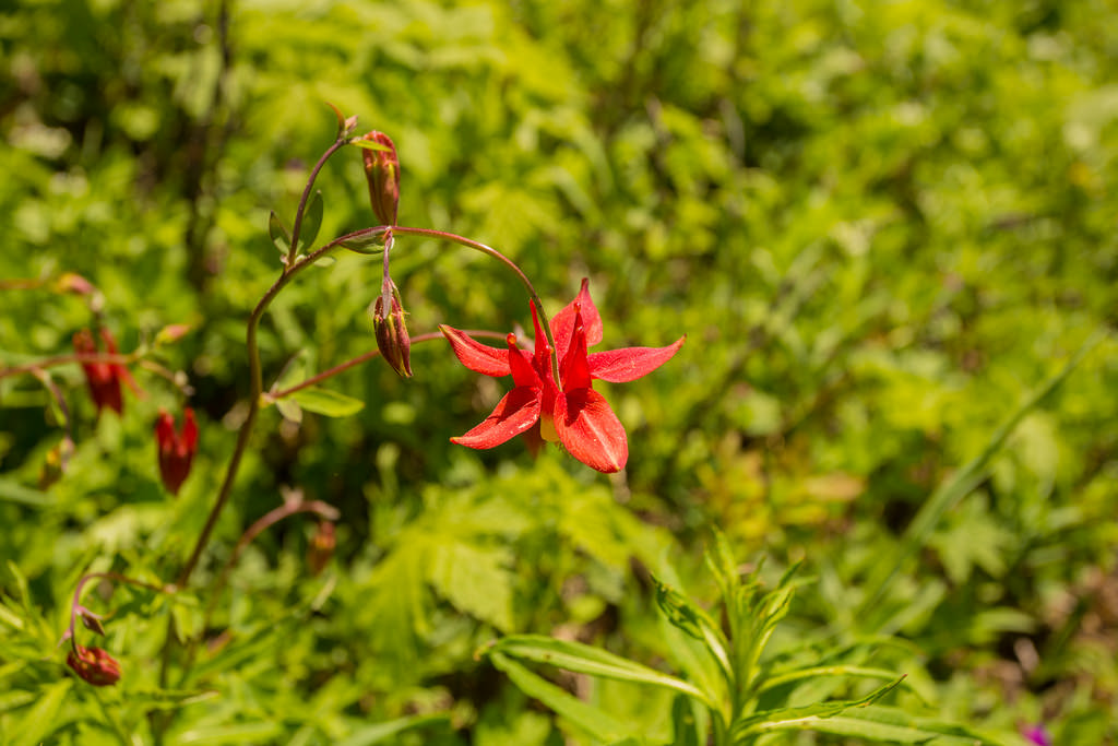
- Wildflowers: Subalpine wildflowers can be excellent in late spring and early summer after the snow has melted. During my June hike, the slopes displayed red, orange, blue, violet, white, and yellow flowers.
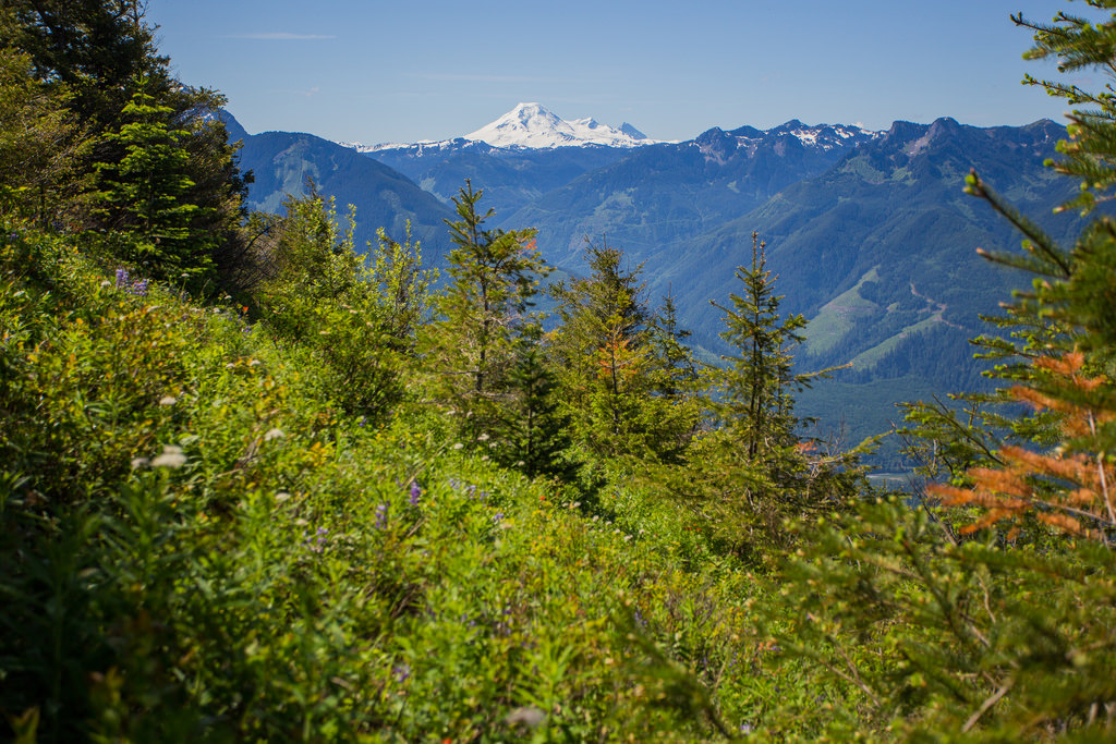
- Mount Baker: On a clear day, the heavily glaciated Mount Baker is one of the most prominent distant peaks visible from the ridge.
- Trail management: The Elk Mountain trailhead begins within the City of Chilliwack, while the trail itself is operated and maintained by the Fraser Valley Regional District.
The Route
The interactive map below shows my GPS route from the trailhead to Mount Thurston. My GPS file recorded the outbound leg only; the return followed essentially the same trail back to the parking area.
Use the layer control in the upper-right corner to switch between the regular map and satellite imagery.
The Climb to Elk Mountain
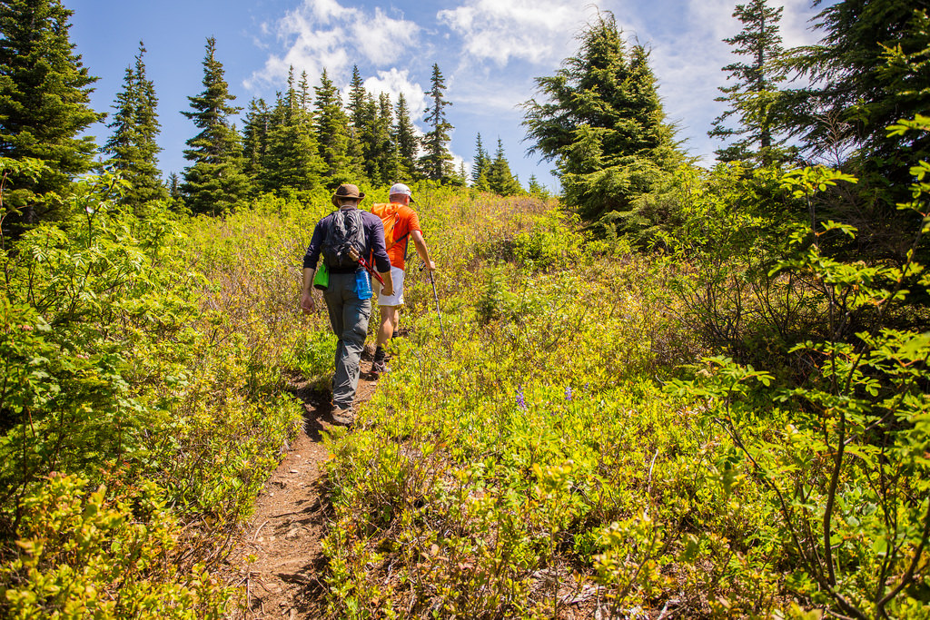
The trail begins in dense forest and climbs steadily from the start. The first portion is moderate, but the grade becomes noticeably steeper higher up.
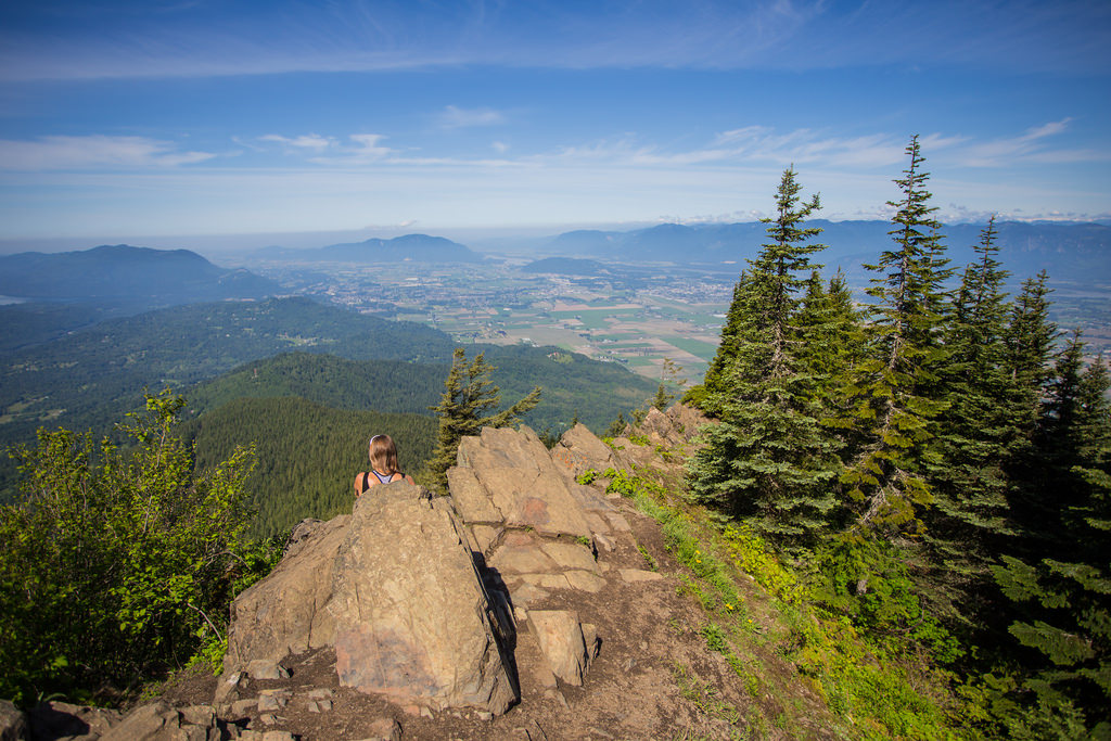
The forest provides welcome shade on hot summer days. Once you approach the ridge, the trees begin to thin and the views suddenly open over the Fraser Valley.
Elk Mountain
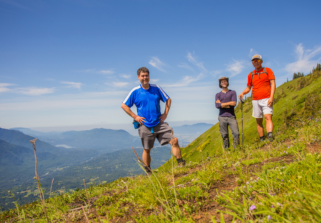
Elk Mountain is a worthwhile destination on its own and is where many hikers turn around. The ridge provides excellent views over the Fraser Valley and south toward the Chilliwack River Valley and surrounding mountains.
Continuing to Mount Thurston
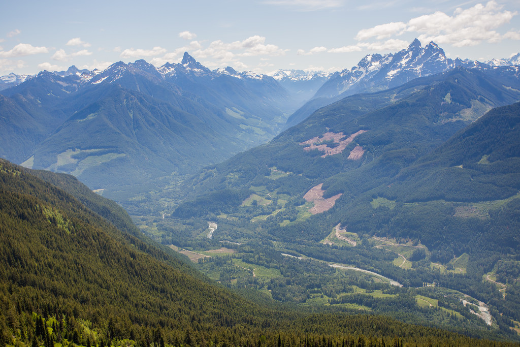
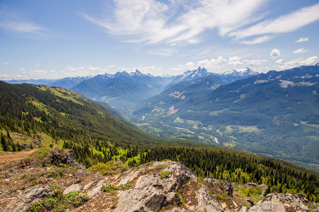
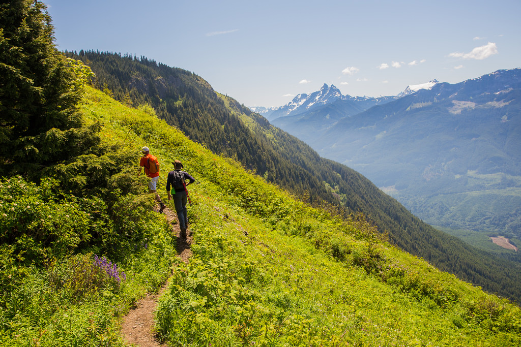
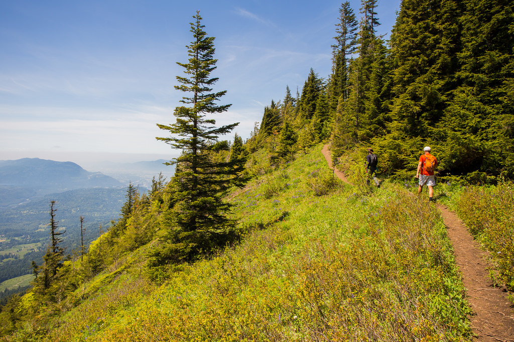
Beyond Elk Mountain, the trail continues east along the ridge toward Mount Thurston. This section is much quieter and provides a different experience from the busy climb to Elk.
The route rolls up and down along the ridge rather than climbing continuously, which explains why the cumulative elevation gain is considerably greater than the difference between the trailhead and the highest point.
Long sections of the upper route are exposed to the sun, so this can become a very hot hike during summer. Carry enough water for the entire trip because reliable water should not be assumed along the ridge.
Along the Trail
Wildflowers
The ridge can have excellent wildflowers in late spring and early summer. During my hike, the meadows were filled with a wide range of colours.
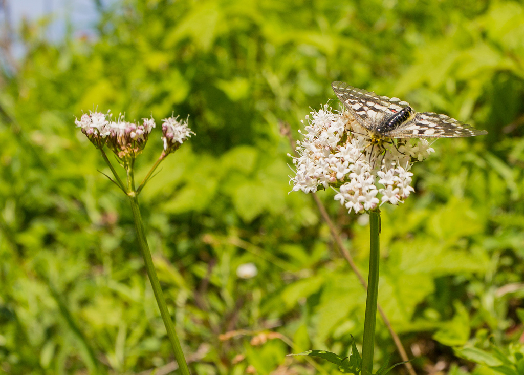
An Interesting Insect
I also photographed this unusual insect along the trail. It had a shape and appearance somewhere between what I would normally associate with a moth and a butterfly.
What to Bring
The full Elk Mountain to Mount Thurston route is a long hike with substantial elevation gain and extended exposed ridge travel, so I recommend carrying the Ten Essentials.
Carry reliable navigation, a headlamp, sun protection, first-aid supplies, extra food, sufficient water, emergency shelter, and extra clothing. Sun protection and water are especially important because much of the upper ridge is exposed.
Download an offline map before starting, carry a fully charged phone and backup power, and leave your route and expected return time with someone you trust. Cell service should not be relied upon.
Leave No Trace
Please follow Leave No Trace principles throughout the Elk–Thurston Trail. Stay on established trails and durable surfaces, pack out everything you bring in, do not pick wildflowers, and keep wildlife at a distance.
The subalpine meadows have a short growing season and are easily damaged by trampling, so remain on the established route when stopping for photographs.
Before You Go
Check current Fraser Valley Regional District trail information, weather, snow levels, wildfire conditions, and road access before leaving home. Snow can linger well into the hiking season, particularly on the upper ridge.