Lakeview Trail and Swan Falls was a longer variation of the usual Buntzen Lake routes, combining the west side of Buntzen Lake, the quieter Lakeview Trail, Old Buntzen Lake Trail, historic hydro infrastructure, and a climb to Swan Falls.
Status: Closed
BC Hydro currently advises that Swan Falls Trail is inaccessible to hikers. Pedestrian access on Powerhouse Road between North Beach and Buntzen Dam is also closed because of a rockslide.
🌦️ Windy.com: weather for this hike
🌦️ Mountain-Forecast: Eagle Mountain 500 m
When I completed this hike, our group started at South Beach, crossed the floating bridge, followed Lakeview Trail, continued north on the Old Buntzen Lake Trail, and eventually reached the Swan Falls trailhead near the northern end of the lake. That northern access is currently affected by trail closures, so this GPS track should be treated as a record of my hike rather than a current route recommendation.
The route shown on this page reflects conditions when I completed the hike. Current BC Hydro closures affect access near the north end of Buntzen Lake, including Swan Falls Trail. Do not rely on this GPS track for current access without first checking BC Hydro’s latest trail information.
Trail Stats
These statistics are based on my recorded GPS route.
- Distance: approximately 14.4 km return
- My hiking time: approximately 6 hours 45 minutes, including breaks
- Low point: approximately 125 m
- High point: approximately 376 m
- Net elevation gain: approximately 250 m
- Recorded cumulative elevation gain: approximately 940 m
- Difficulty: Moderate because of the distance and repeated ups and downs
- Route: Historical loop-style route with a spur to Swan Falls
- 📍 Trailhead and parking: Google Maps and navigation
The difference between the net and cumulative elevation gain is substantial because this route contains many smaller climbs and descents. The climb to Swan Falls itself gains roughly 200 m over a relatively short distance.
Interesting Facts
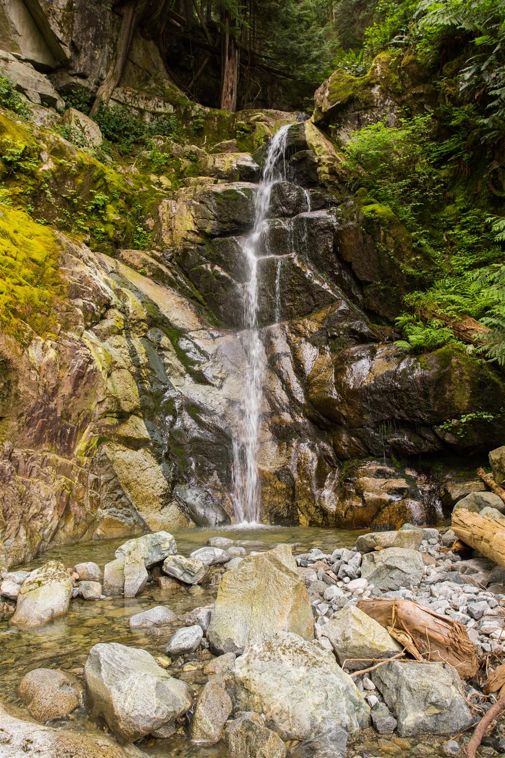
- Swan Falls: Swan Falls drops down the western side of Eagle Ridge above the north end of Buntzen Lake. The lower falls area has smooth rock slabs and open views across the valley.
- Lakeview Trail: Lakeview Trail runs along the western side of Buntzen Lake and is considerably quieter than the main Buntzen Lake Loop. Portions are steep and rough, despite the relatively modest overall elevation gain.
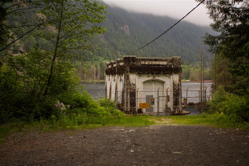
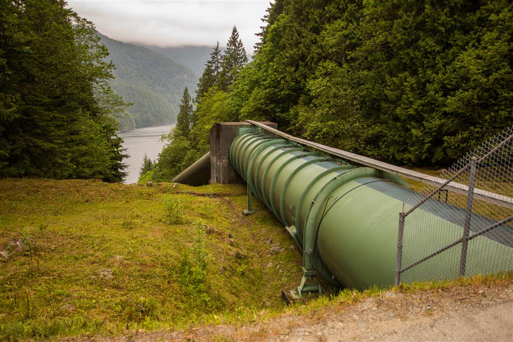
- Old Buntzen Lake Trail: This historic route follows part of the transmission and hydroelectric infrastructure around the lake and passes McCombe Lake before reaching the northern portion of the recreation area.
- Hydroelectric history: Buntzen Lake has supplied hydroelectric power to the Vancouver area since the early twentieth century. Remnants of the water-conveyance system, including intake structures and large conduits, are still visible along parts of the trail network.
- Biogeoclimatic zone: The Buntzen Lake area lies within the Coastal Western Hemlock biogeoclimatic zone. Western hemlock, western redcedar, Douglas-fir, mosses, ferns, and other moisture-loving plants are characteristic of these lower-elevation coastal forests.
- Current closure: BC Hydro currently states that Swan Falls Trail is inaccessible to hikers and that pedestrian access is closed on Powerhouse Road between North Beach and Buntzen Dam.
The Route
The interactive map below shows my actual GPS route. It combines the west side of Buntzen Lake, Lakeview Trail, Old Buntzen Lake Trail, the northern service-road section, Swan Falls, and the return along the east side of the lake.
This map is included as a record of my hike. Current closures mean that the full route shown should not be attempted unless BC Hydro confirms that access has reopened.
Lakeview Trail
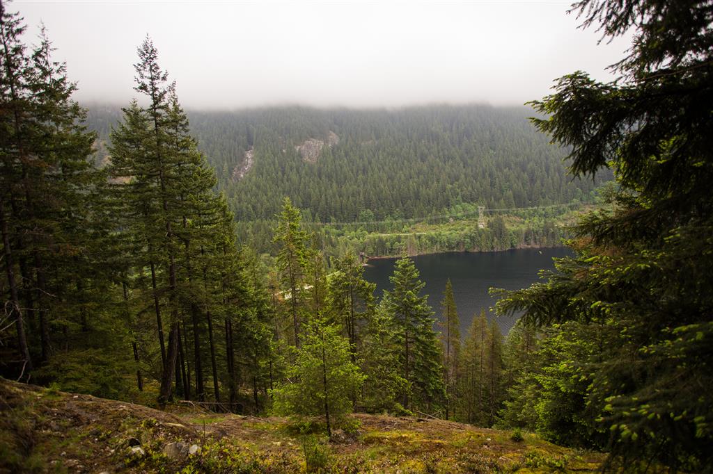
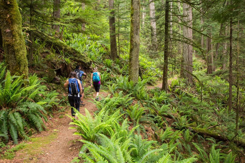
From the south end of Buntzen Lake, we crossed the floating bridge and reached the start of Lakeview Trail near the pumphouse. Lakeview is much quieter than the main lake loop and climbs above the western shoreline through mature forest.
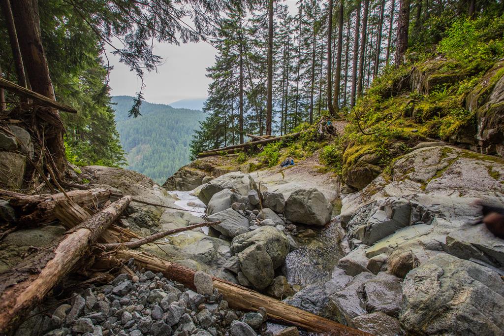
Near the northern end of the trail there is a viewpoint looking across the lake and surrounding mountains.
Old Buntzen Lake Trail
After Lakeview Trail, we continued north on the Old Buntzen Lake Trail. This section passes McCombe Lake and several pieces of historic hydroelectric infrastructure.
Swan Falls
When I completed this route, a short service-road section led to the Swan Falls trailhead. The climb to the falls gained roughly 200 m and was the steepest portion of the day.
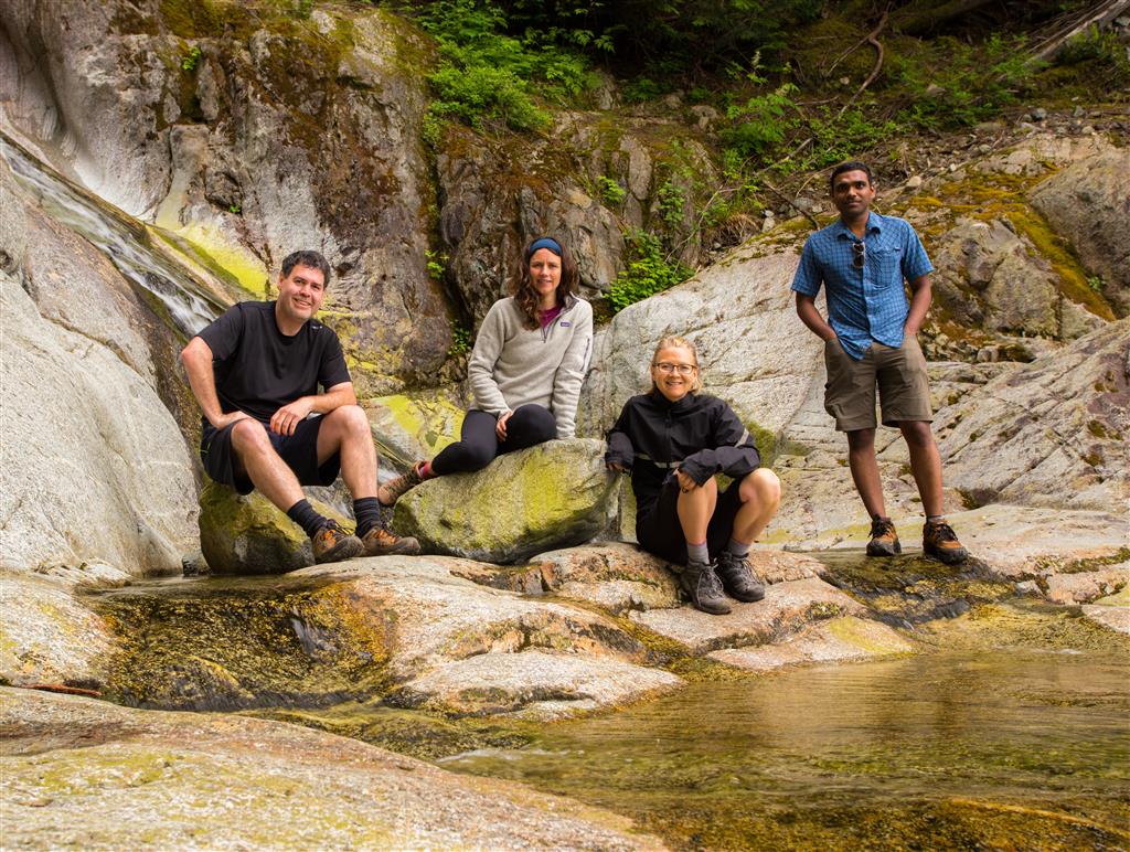
The lower falls area provided a pleasant place to stop, with smooth rock slabs, rushing water, and views back across the valley.
Current note: BC Hydro presently lists Swan Falls Trail as inaccessible to hikers. Do not attempt to reach the falls until BC Hydro confirms that the trail has reopened.
Wildflowers
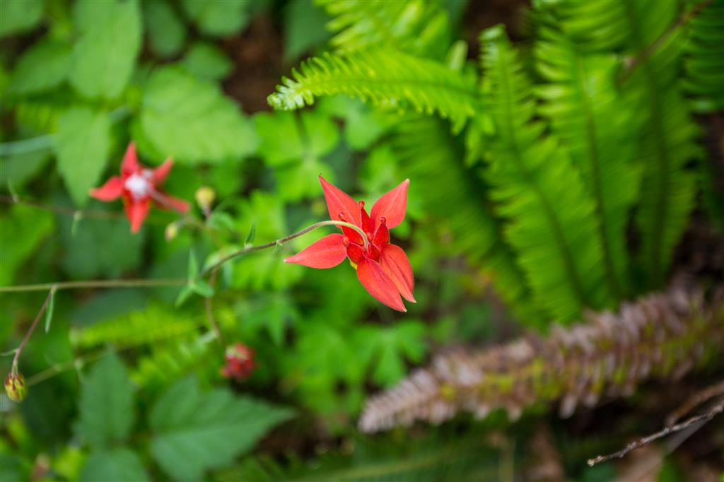
Late spring also brought several wildflowers along the route, including Western columbine.

What to Bring
This is a fairly long outing even though most of the route is not especially steep. For a hike of this length, I recommend carrying the Ten Essentials, particularly navigation, a headlamp, first-aid supplies, extra food, sufficient water, emergency shelter, and extra clothing.
Download an offline map before starting, carry a fully charged phone and backup power, and leave your route and expected return time with someone you trust. Remember that Buntzen Lake has fixed gate closing times, so allow plenty of time to return to the parking area.
Leave No Trace
Please follow Leave No Trace principles throughout the hike. Stay on established trails, pack out everything you bring in, leave historic structures and artifacts undisturbed, avoid damaging vegetation, and keep wildlife at a distance.
Before You Go
Check current BC Hydro Buntzen Lake trail information before planning this route. Swan Falls Trail is currently inaccessible to hikers, and pedestrian access is also closed on Powerhouse Road between North Beach and Buntzen Dam. :chatgpt-content-reference{index=”1″}
Also check current Buntzen Lake gate hours and seasonal parking requirements before leaving home.