Another trip back to beautiful Golden Ears Provincial Park. To find the snow caves in Evans Valley, you have to have good timing. Too early in the year, there may be too much snow (and also avalanche risks); too late, and the caves are all gone. I find social media, such as Instagram, a great resource to find recent conditions — that’s what I did, and with a great weekend in the forecast, I set out for the snow caves.
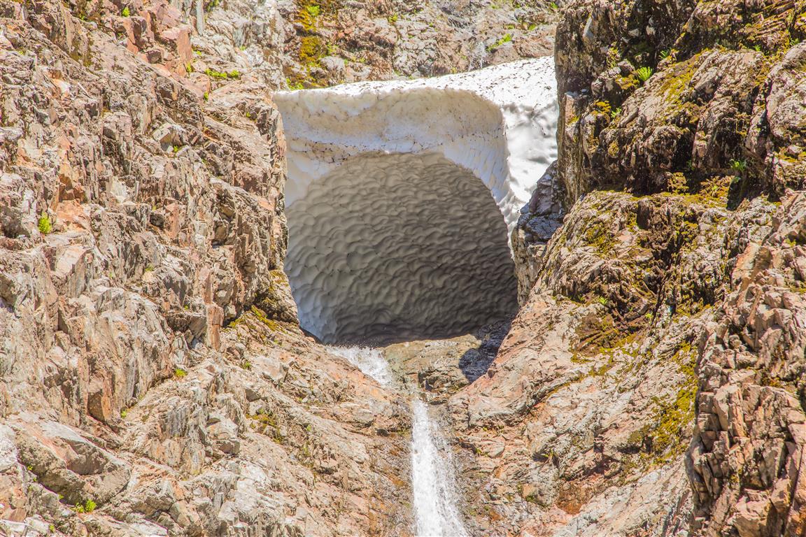
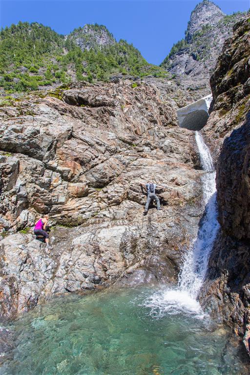
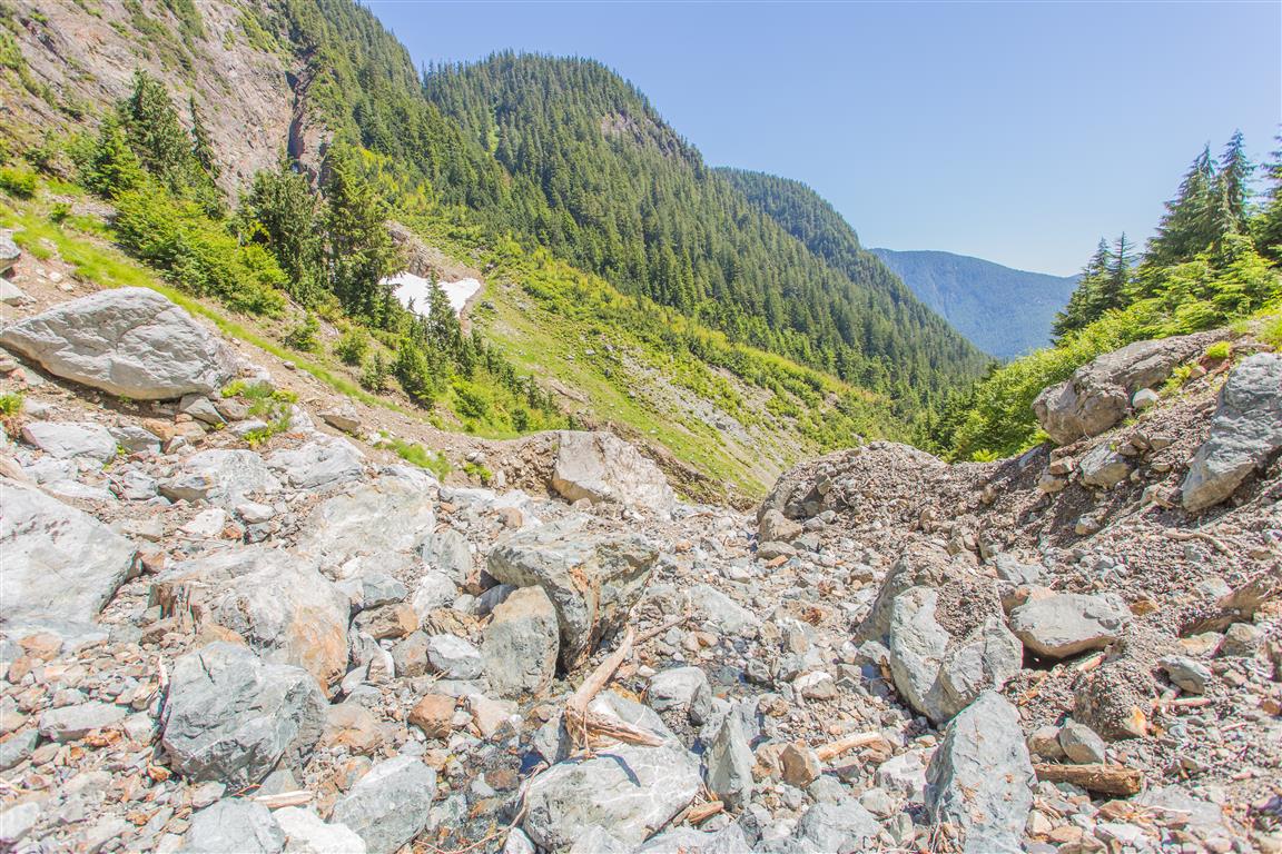
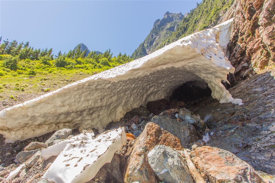
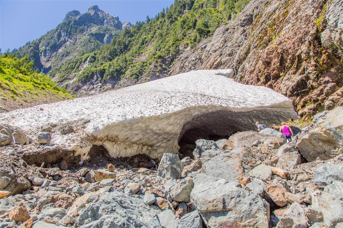
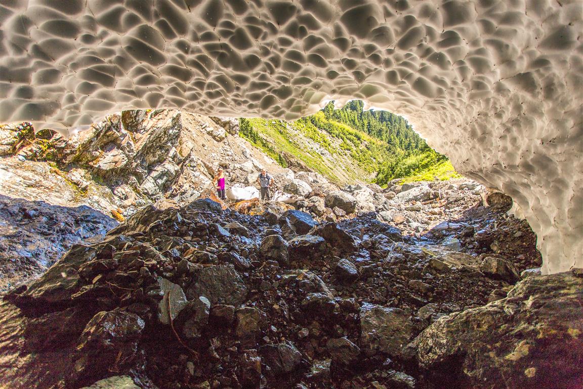
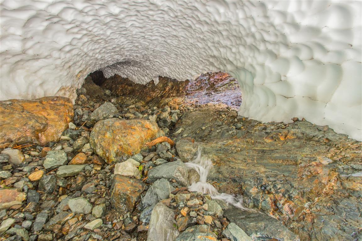
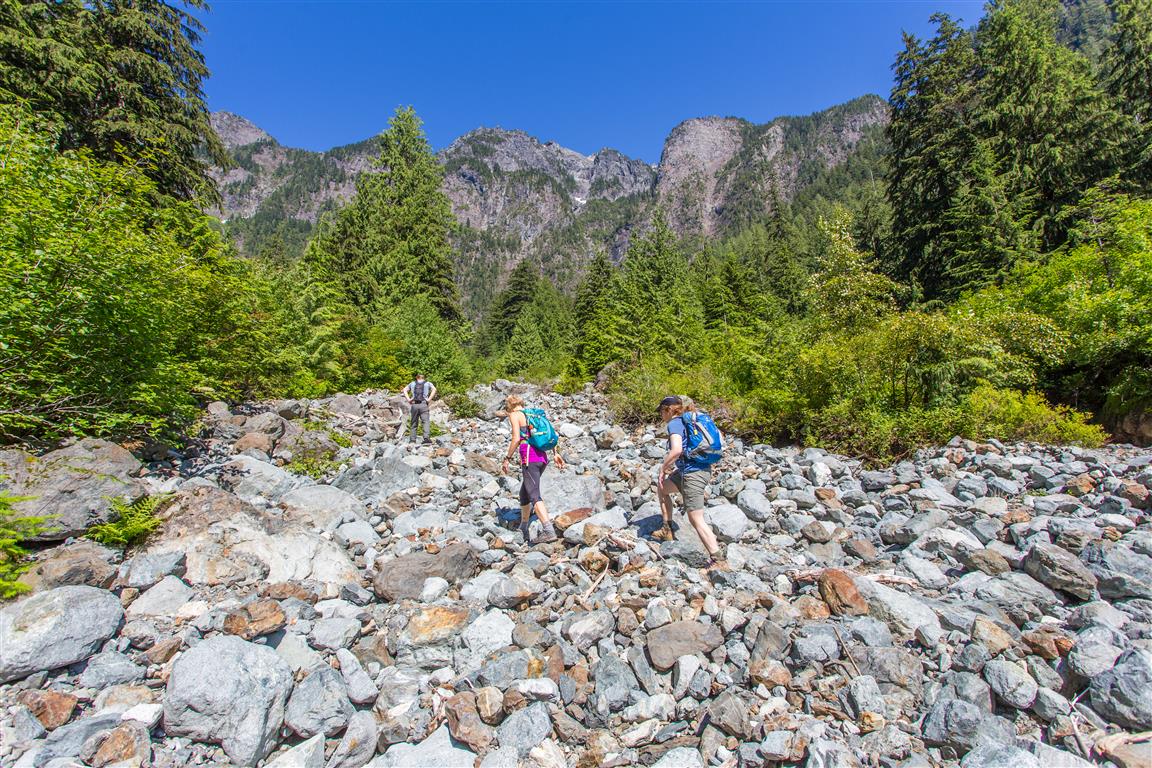
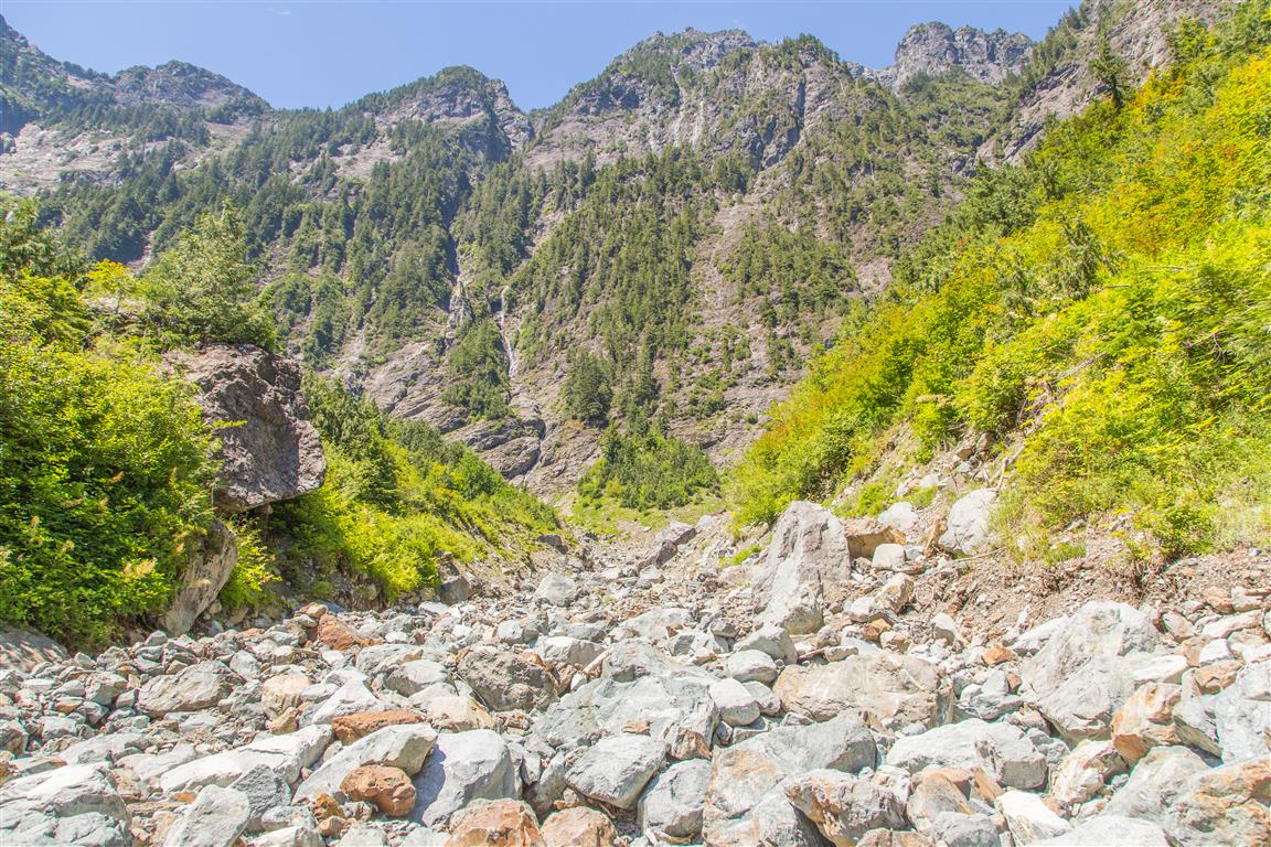
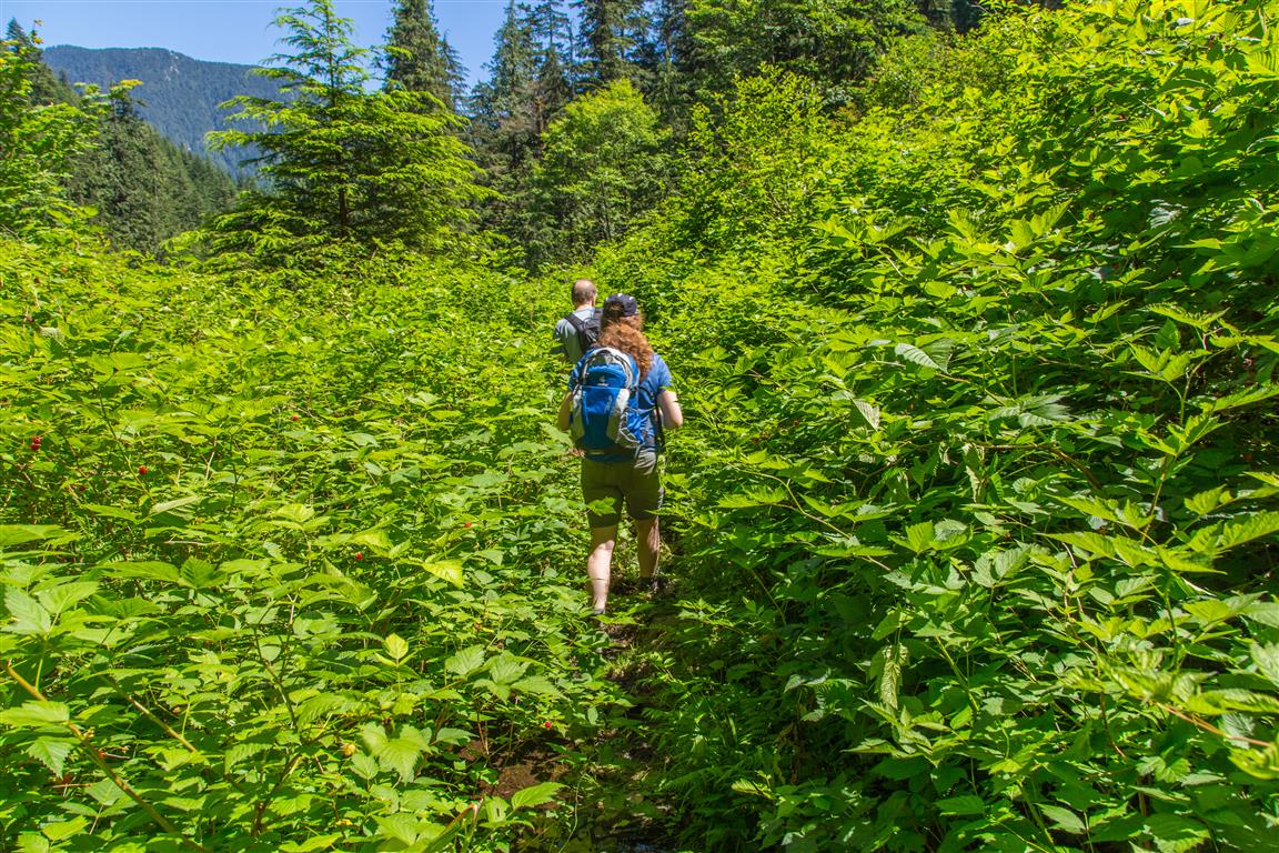
The hike starts at the West Canyon trailhead. After a 2 km hike up the West Canyon, you will need to take a left turn at the Evans Valley Trail, which is not marked well. At times the trail goes through thick salmonberry, but it’s not too bad. The trail continues climbing up Evans Valley, alongside the creek. After another 1.5 km of hiking, the forest trail ends and you start hiking up the boulder field — there is no set path, just go and watch for loose boulders. You will hike up the boulder field for over 1 km and reach the head of the valley — this is the magical place. All of a sudden, we saw two huge snow caves. The first one, on our right, was inaccessible, but we stopped for a bit before going on. The second snow cave is up a small valley to the east. After a short climb up boulders again, we were standing beside a giant snow cave. As I walked in, water was dripping like rain from the edge and ceiling of the cave, and the temperature dropped like being in a refrigerator — refreshing for a hot day! We spent some time in the cave for some photos and then proceeded down again. We met no one else on the trail today!
Interesting Facts
- Evans Valley and nearby Evans Peak are named after Leslie and John Evans, a father and son who disappeared in this valley in the spring of 1966 while exploring potential climbing routes. An extensive search was unable to find them
- Edge Peak, which the snow caves sit at the foot of, isn’t named for its shape. It’s named after Sam Edge, who made an early climb of the mountain back in 1876
- The park’s namesake Golden Ears peaks were originally called “Golden Eyries,” likely after golden eagles seen near the summit. The name was eventually corrupted to Golden Ears, and in the 1930s or 40s the surrounding peaks, including Edge Peak and Blanshard Peak, were formally separated out and named
- This trail sits within the Coastal Western Hemlock (CWH) biogeoclimatic zone for most of its length, transitioning toward subalpine conditions near the boulder field and snow caves at the head of the valley
Trail Stats
- Distance: 9.5 km (return)
- Time: 6 hours (lots of breaks and exploring)
- Low point: 185 m
- High point: 745 m
- Elevation gain: 560 m
- Cumulative elevation gain: 800 m
The Route
The actual GPS track from this hike, drawn on the map below. Green marks the start/end point. Use the layer control in the top right to switch to a satellite view.
Photos

Before You Hike
Before heading out on your hike, make sure you are well prepared. This means having the TEN ESSENTIALS. It is also important to leave a trip plan (route details and estimated return time) with someone you trust.
Bring your smartphone, fully charged, and put it in airplane mode while hiking. I always bring backup battery packs for extra peace of mind. It is highly recommended that you bring a GPS device. I use my smartphone with a GPS app (Backcountry Navigator). The GPS will work in airplane mode. Learn how to use it before your hike.
For anyone new to hiking, there is a rule that hikers follow called “Leave No Trace” or LNT. The concept is generally to pack out what you pack in and respect nature, so all future visitors can enjoy what you have enjoyed. To learn more about LNT, please check out this blog by a certified LNT Trainer.