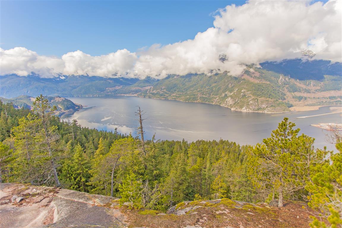
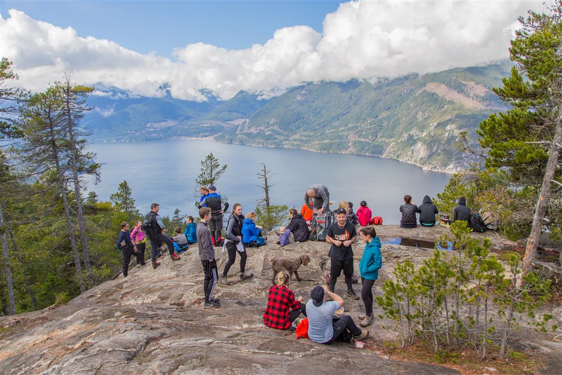
Upper Shannon Falls is a steep but rewarding hike near Squamish that climbs from Shannon Falls Park to the upper falls and a broad rocky bluff with excellent views over Howe Sound, Squamish, the Squamish River Estuary, and the Stawamus Chief. We did this hike in March 2016, starting from the Shannon Falls parking lot.
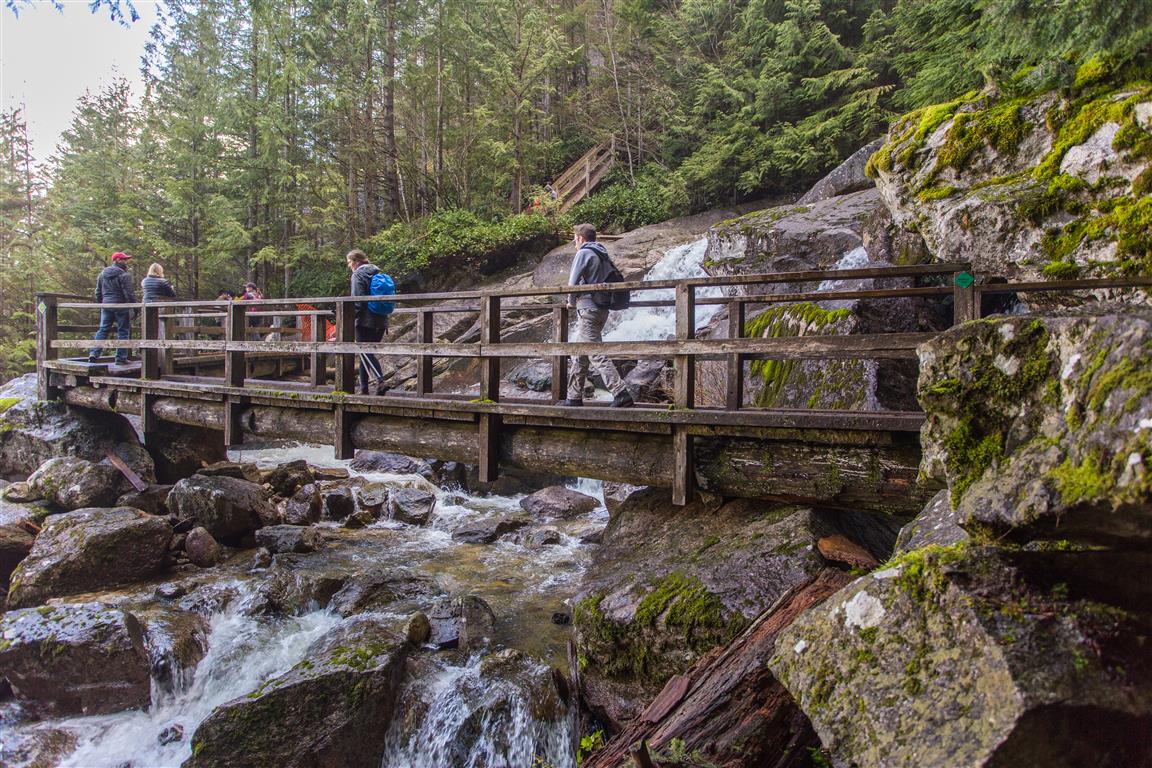
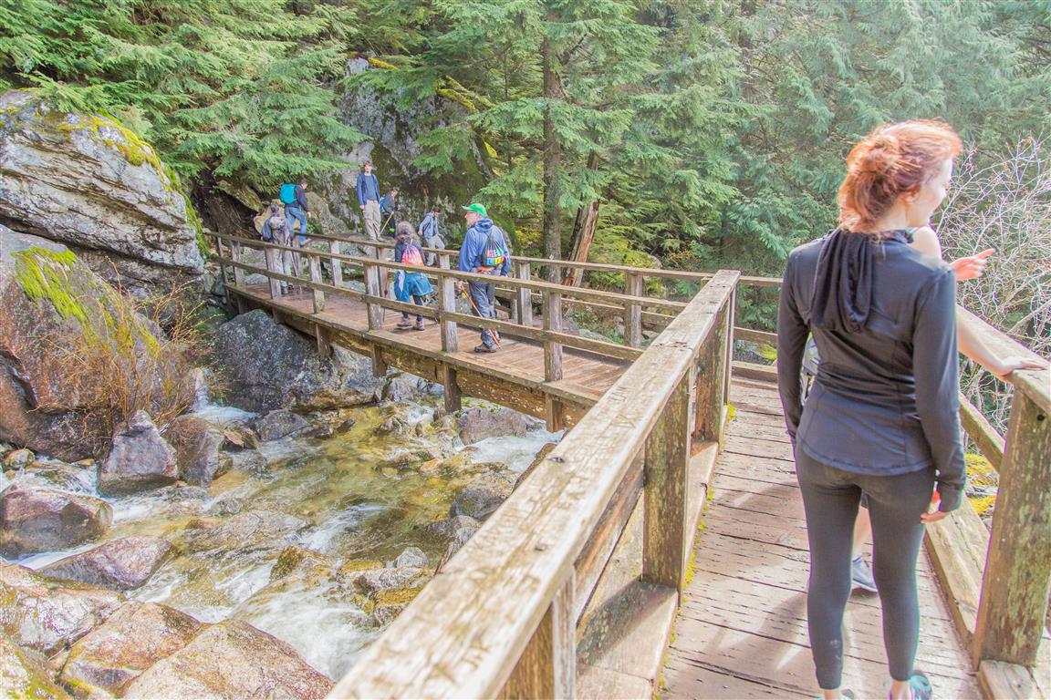
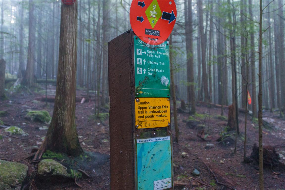
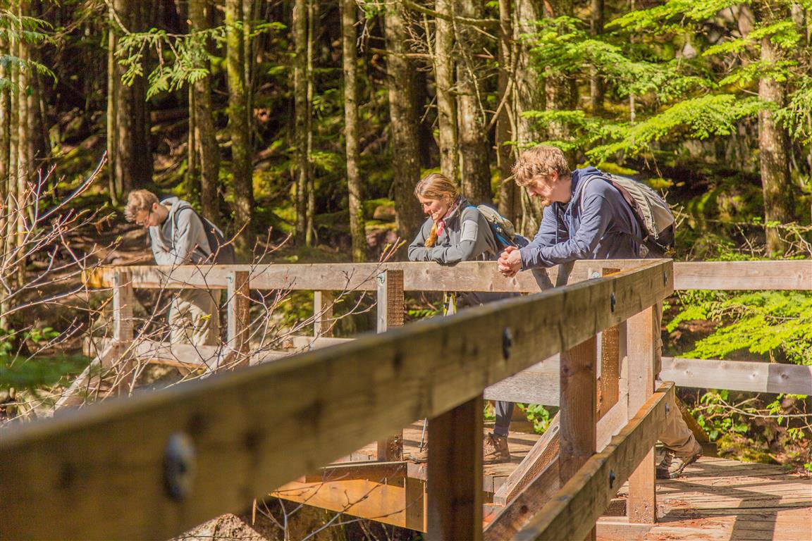
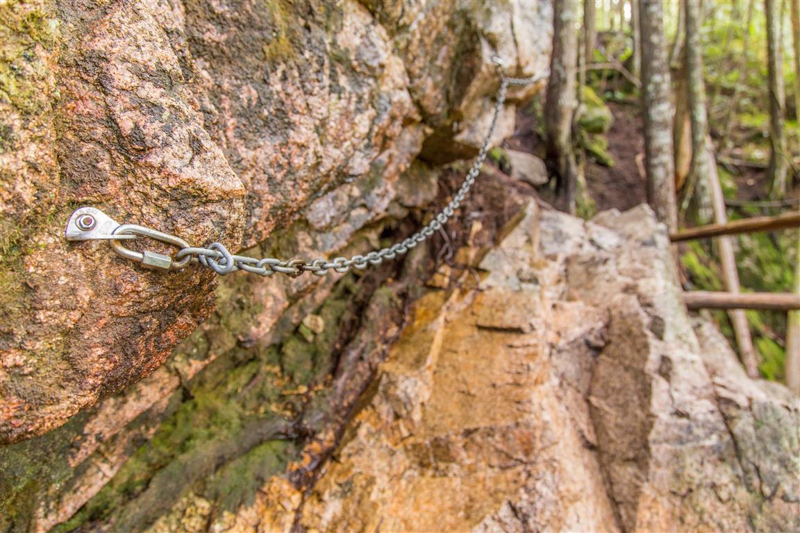
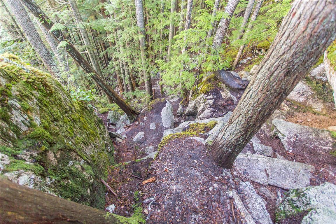
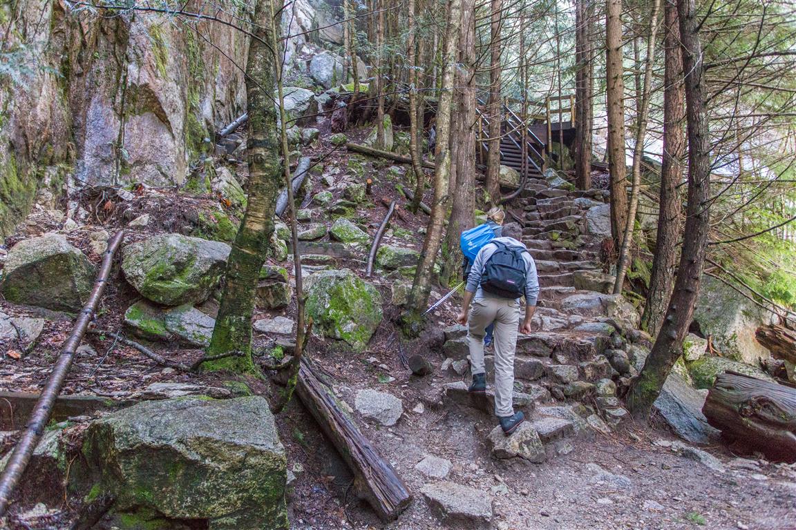
The route initially follows the trail network connecting Shannon Falls with the Stawamus Chief before branching onto the Upper Shannon Falls route. The lower sections pass through coastal forest and cross several bridges, including bridges over Olesen Creek. Higher up, the trail becomes considerably steeper, with rock, cobbled steps, and fixed ropes or chains in a few places.
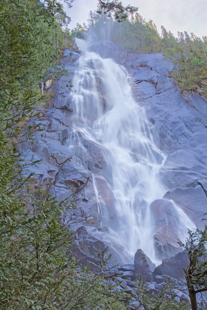
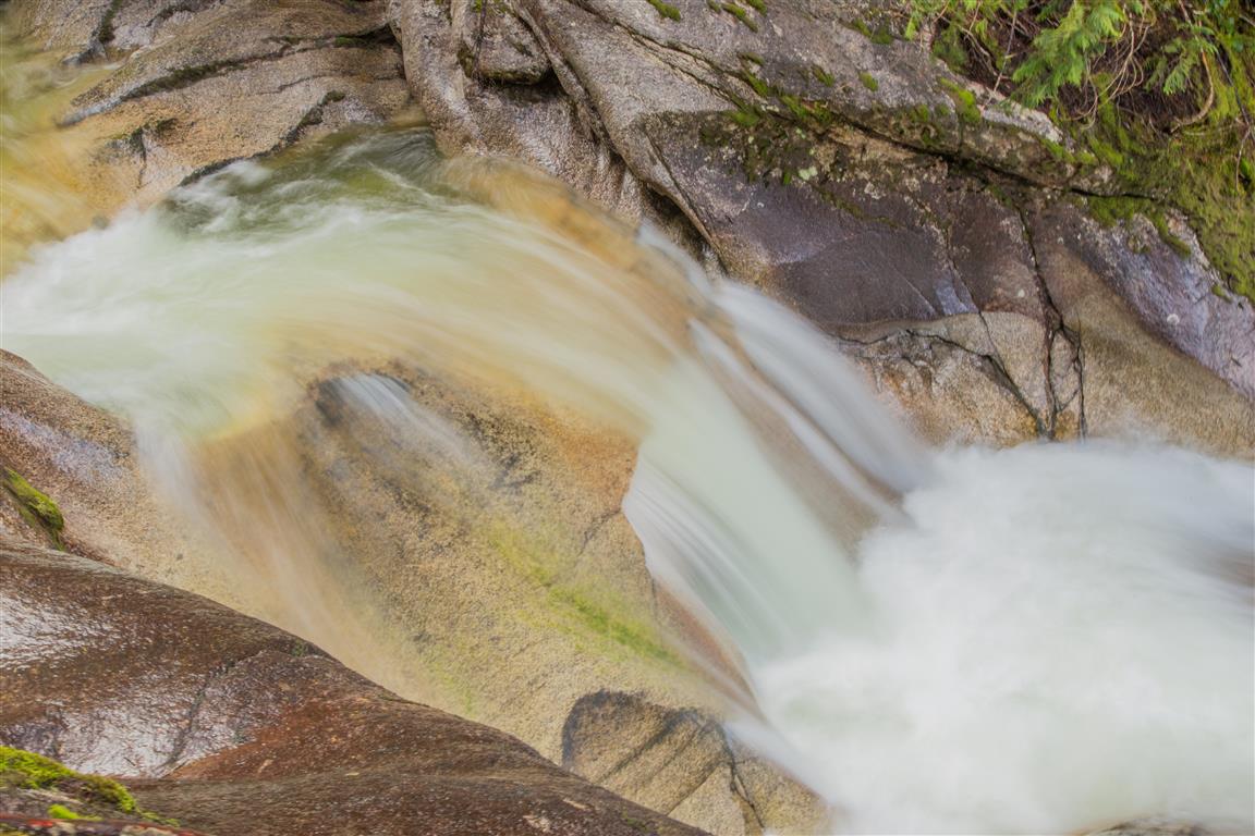
There are several viewpoints along the way, including a close look at the upper portion of Shannon Falls. Near the end of the hike, the trail reaches a large rocky bluff with expansive views. We took plenty of breaks on this hike and spent some time enjoying the viewpoints, so our total time was about 5.5 hours.
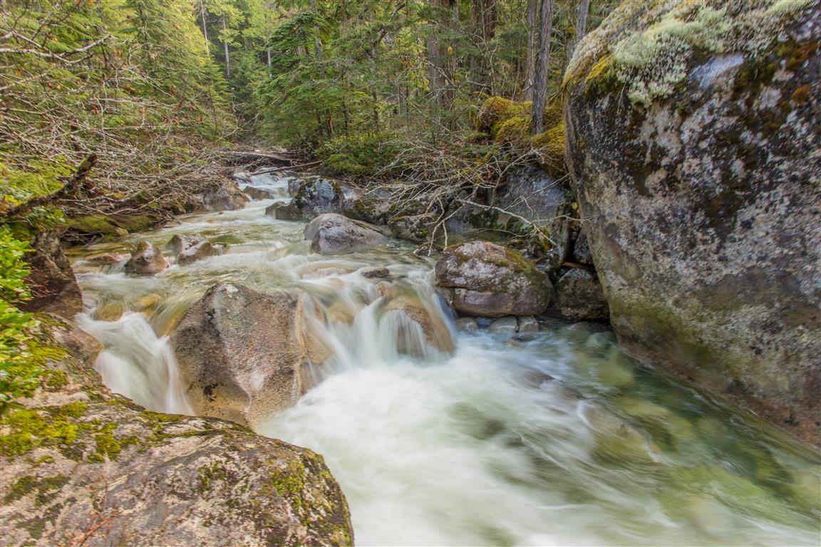
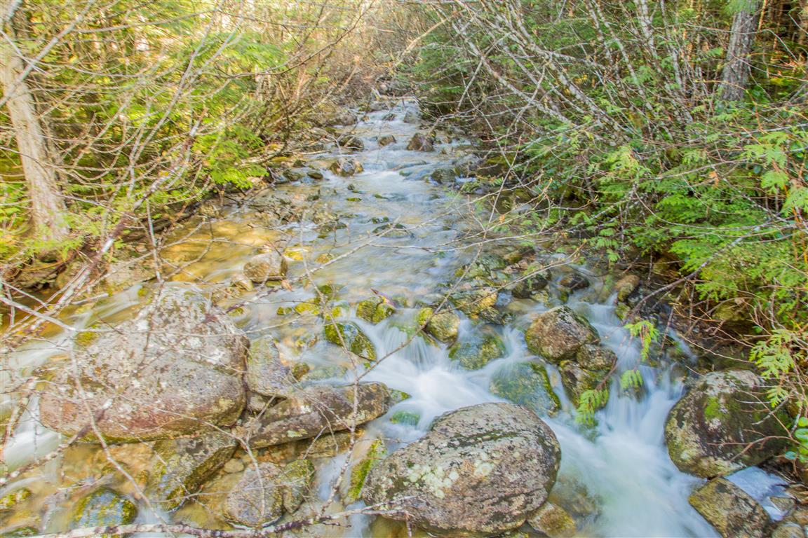
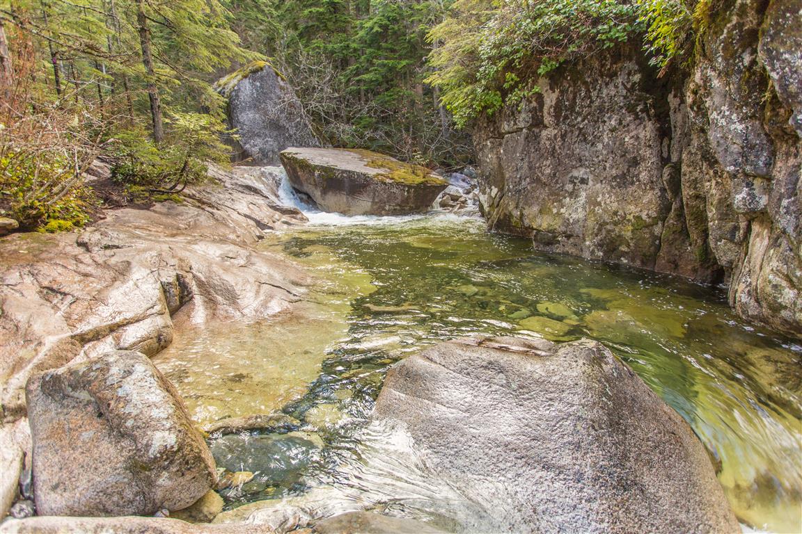
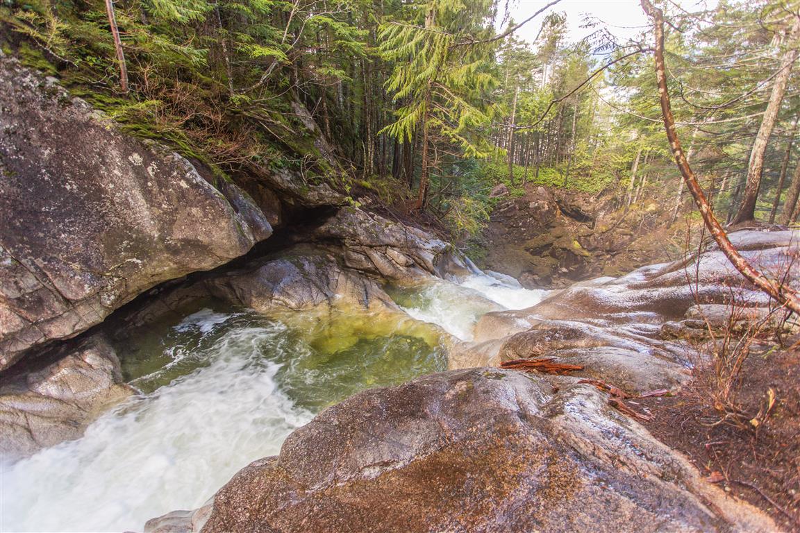
One section of the route passes close to Shannon Creek and some attractive pools near the upper falls. The water may look inviting, particularly during warmer weather, but BC Parks warns visitors not to wade in the creek or climb onto wet rocks. Water levels can change quickly, and the rocks and creek edges can be extremely slippery.
Interesting Facts
- Shannon Falls is 335 m high, making it the third highest waterfall in British Columbia, behind Della Falls in Strathcona Provincial Park and Hunlen Falls in Tweedsmuir Provincial Park. The water flowing over Shannon Falls originates from the Mount Habrich and Sky Pilot Mountain area.
- The Squamish name for Shannon Falls is Kwékwetxwm. BC Geographical Names describes the name as referring to the deep rumbling sound of the cascading water. The area has long been important to the Squamish people for resource gathering and has significant cultural and spiritual associations.
- This hike is within the Coastal Western Hemlock (CWH) biogeoclimatic zone. The Stawamus Chief area is within the dry maritime portion of the CWH zone. Typical trees include western hemlock, Douglas-fir, and western red cedar. The route remains below about 500 m elevation, well below the higher-elevation Mountain Hemlock zone.
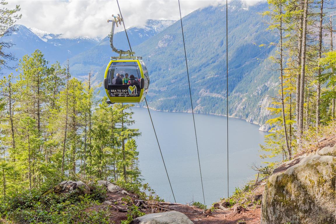
- The Upper Shannon Falls route is now incorporated into the Sea to Summit Trail. Hikers can continue beyond the Upper Shannon Falls area and climb all the way to the Sea to Sky Gondola summit.
- The history of Shannon Falls Park has an unusual connection to beer. Carling O’Keefe Brewery purchased the property in 1976 and used the mountain water for brewing. The company donated the land to BC Parks in 1982.
Trail Stats
- Distance: 7.4 km (return)
- Time: 5.5 hours (lots of breaks)
- Low point: 3 m
- High point: 485 m
- Elevation gain: 482 m
- Cumulative elevation gain: 820 m
The Route
The actual GPS track from this hike is drawn on the map below. The GPX file records the ascent to the Upper Shannon Falls viewpoint; the return follows the same route. Green marks the trailhead, and red marks the turnaround point. Use the layer control in the top right to switch to a satellite view.
Photos


You can also view my full Flickr photo album from this hike.
Before You Hike
Before heading out on your hike, make sure you are well prepared. This means having the TEN ESSENTIALS. It is also important to leave a trip plan (route details and estimated return time) with someone you trust.
Bring your smartphone, fully charged, and put it in airplane mode while hiking. I always bring backup battery packs for extra peace of mind. It is highly recommended that you bring a GPS device. I use my smartphone with a GPS app (Backcountry Navigator). The GPS will work in airplane mode. Learn how to use it before your hike.
For anyone new to hiking, there is a rule that hikers follow called “Leave No Trace” or LNT. The concept is generally to pack out what you pack in and respect nature, so all future visitors can enjoy what you have enjoyed. To learn more about LNT, please check out this blog by a certified LNT Trainer.