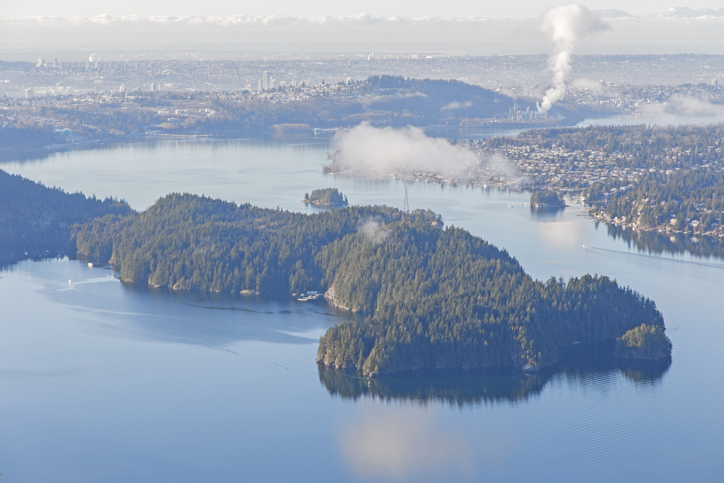
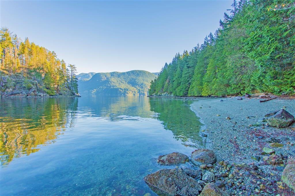
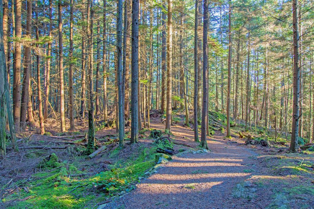
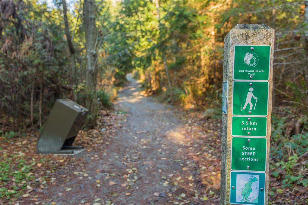
The Jug Island hike is a short forest hike on the Belcarra Peninsula that leads to a small beach on Indian Arm with a close-up view of Jug Island. It is a great little hike when you want something relatively quick without travelling far from the Tri-Cities.
The trail starts near the Belcarra Picnic Area off Bedwell Bay Road. From the trailhead, the route heads into the forest and climbs gradually before crossing a small bluff. There are some views through the trees towards Bedwell Bay, although they are somewhat obstructed by the forest.
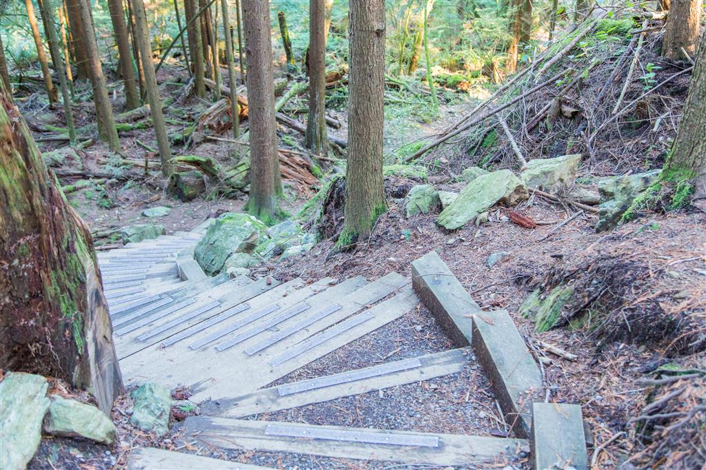
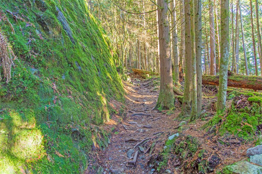
After reaching the high point of the route, the trail descends towards Indian Arm. There are a few steeper sections and stairs along the way, but overall the trail is well established and easy to follow under normal conditions. Route finding could be more difficult if there is significant snow cover.
The highlight is Jug Island Beach at the end of the trail. The small beach looks directly across at Jug Island and also provides a nice view north up Indian Arm. After spending some time at the beach, return along the same route.
Interesting Facts
- Jug Island is a small, forested island just offshore from the beach at the eastern side of the Belcarra Peninsula.
- Indian Arm is a glacially carved fjord extending north from Burrard Inlet. Glaciers carved the steep-sided valley to depths below present sea level before the ocean flooded the valley following the last ice age.
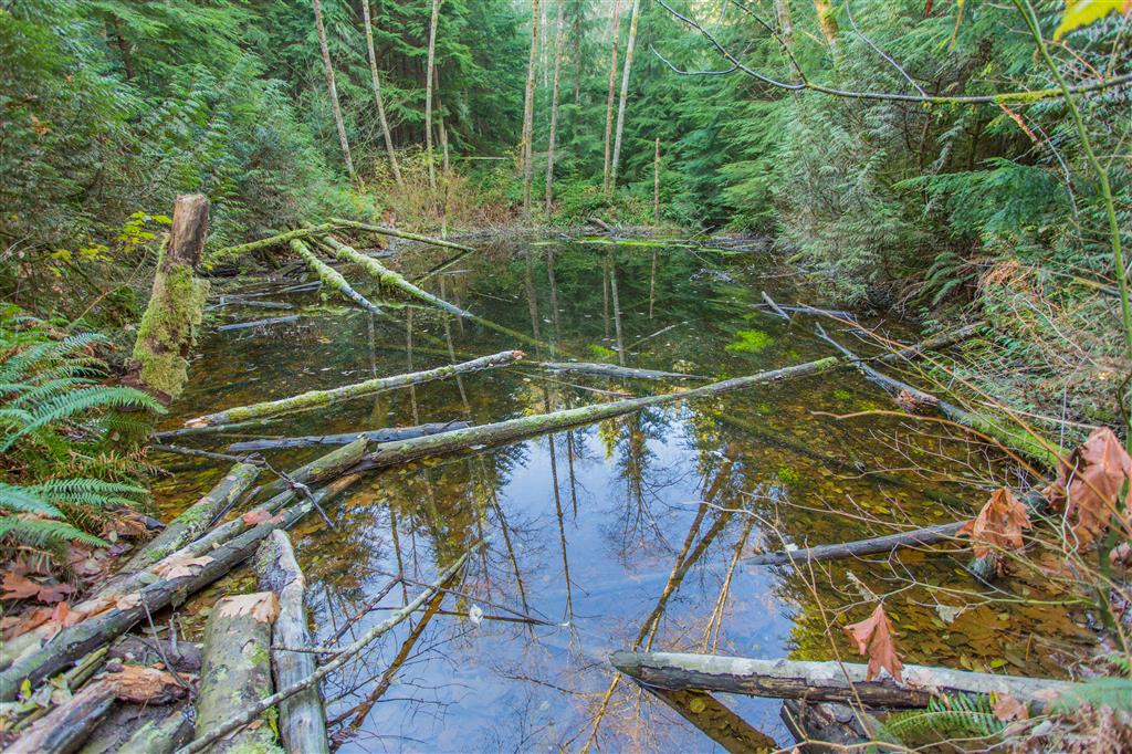
- The trail passes through the Coastal Western Hemlock (CWH) biogeoclimatic zone, the dominant forest zone at lower elevations along much of coastal British Columbia. Western hemlock, western red cedar, Douglas-fir, sword fern, mosses, and other moisture-loving plants are common in forests around Belcarra.
- Jug Island Beach is a small tidal pocket beach, so the amount of exposed shoreline can vary considerably depending on the tide.
Trail Stats
- Distance: 5 km (return)
- Time: 1 hour (with no breaks)
- Low point: 0 m
- High point: 88 m
- Elevation gain: 88 m
- Cumulative elevation gain: 300 m
- Trailhead: 49° 18′ 48.3″ N, 122° 55′ 22.7″ W (Google Map)
The Route
The actual GPS track from this hike is drawn on the map below. Green marks the start/end point. Use the layer control in the top right to switch to a satellite view.
Photos