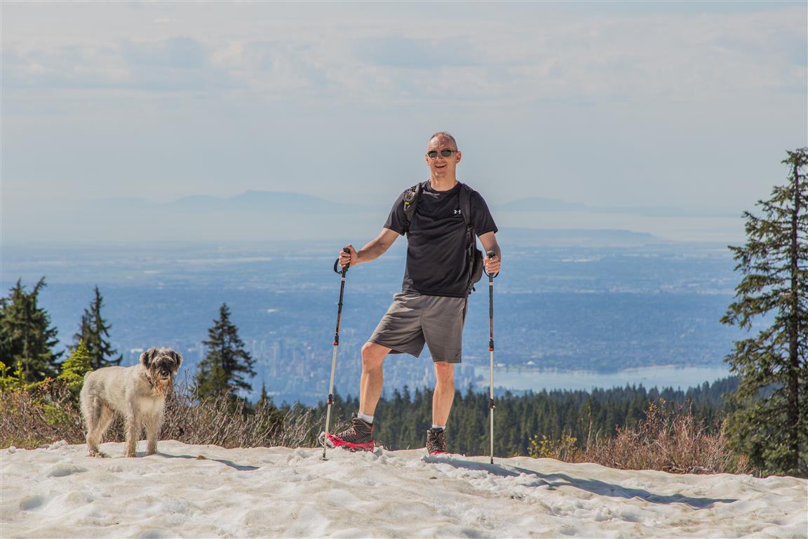
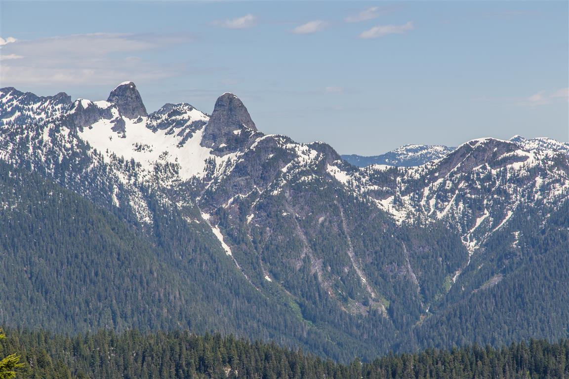
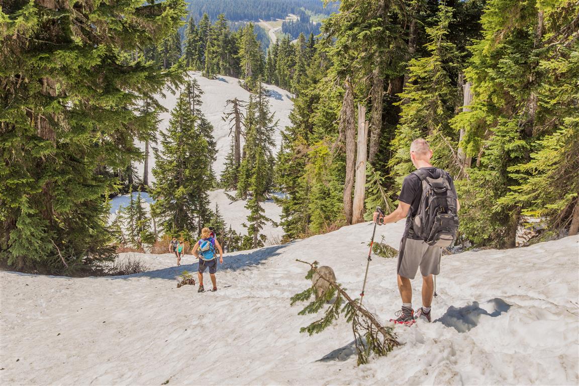
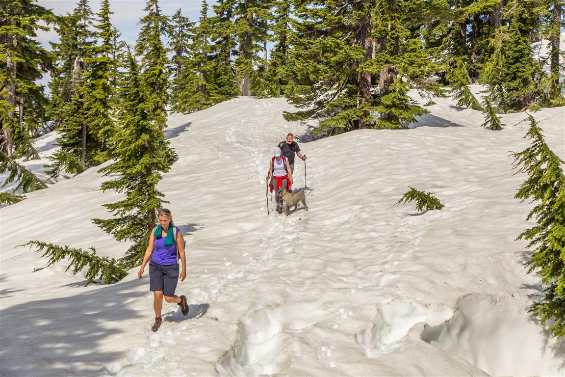
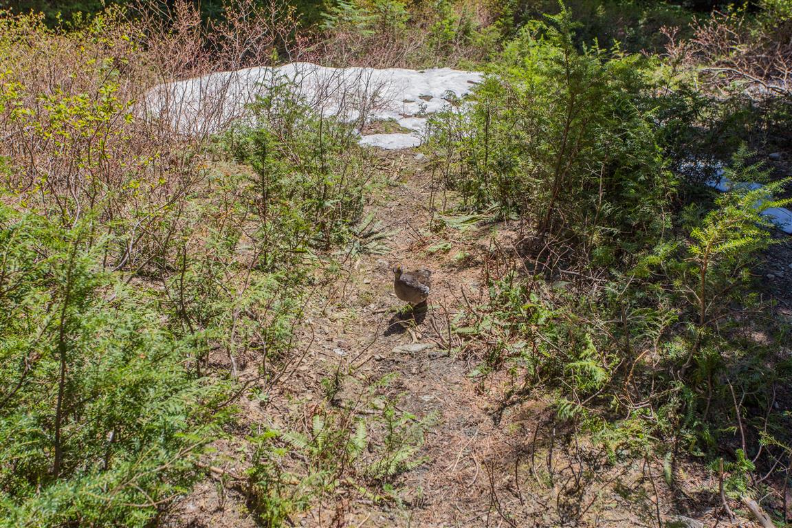
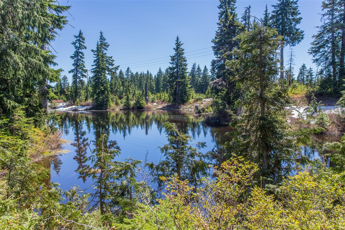
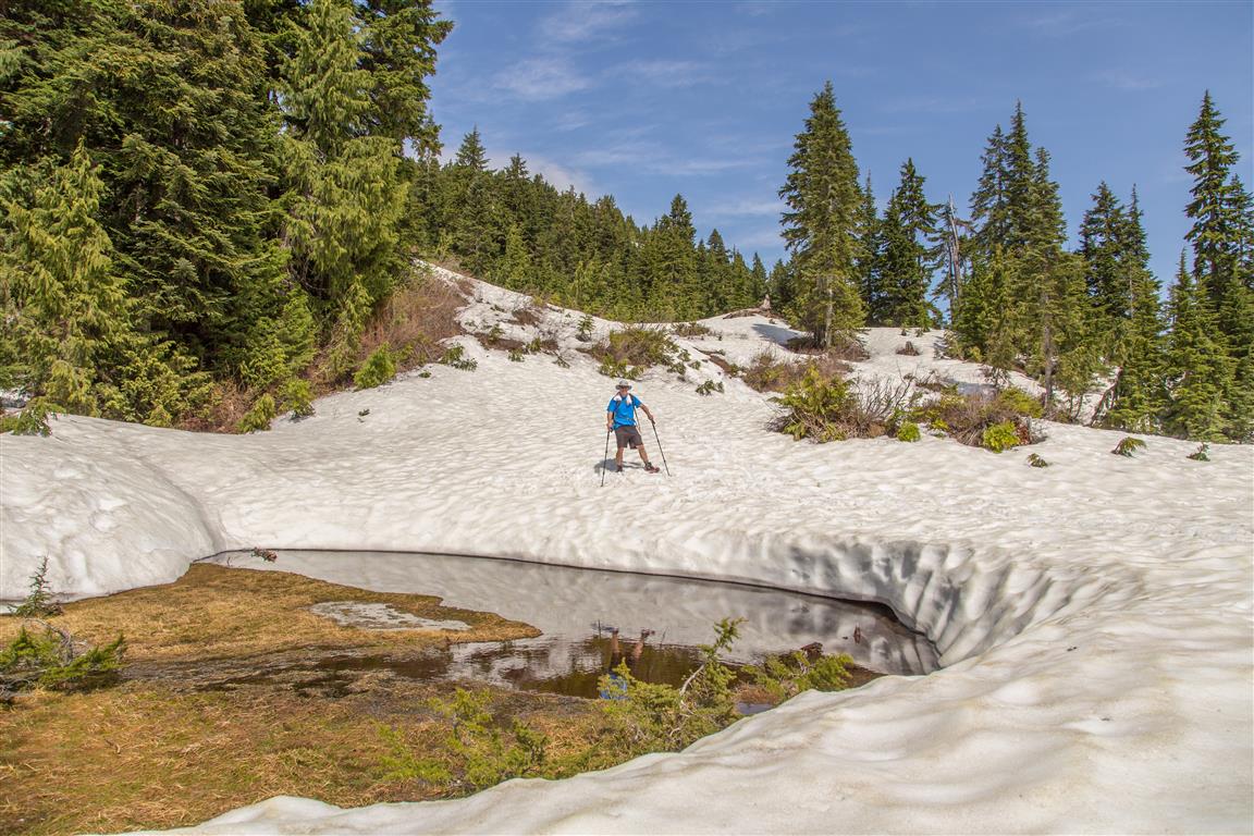
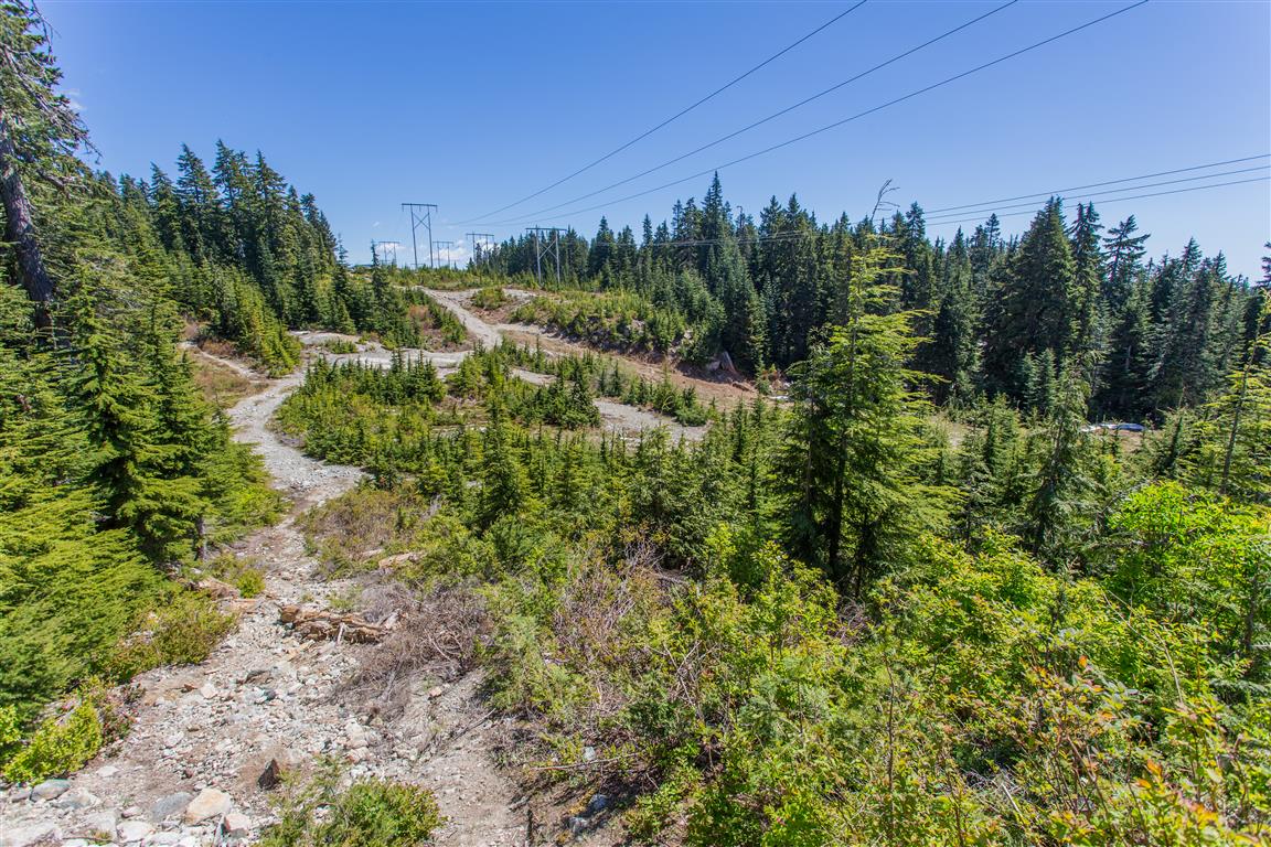
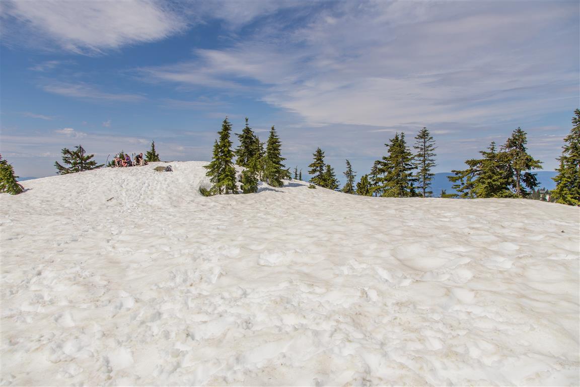
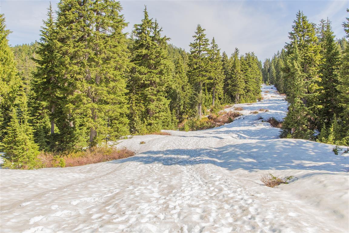
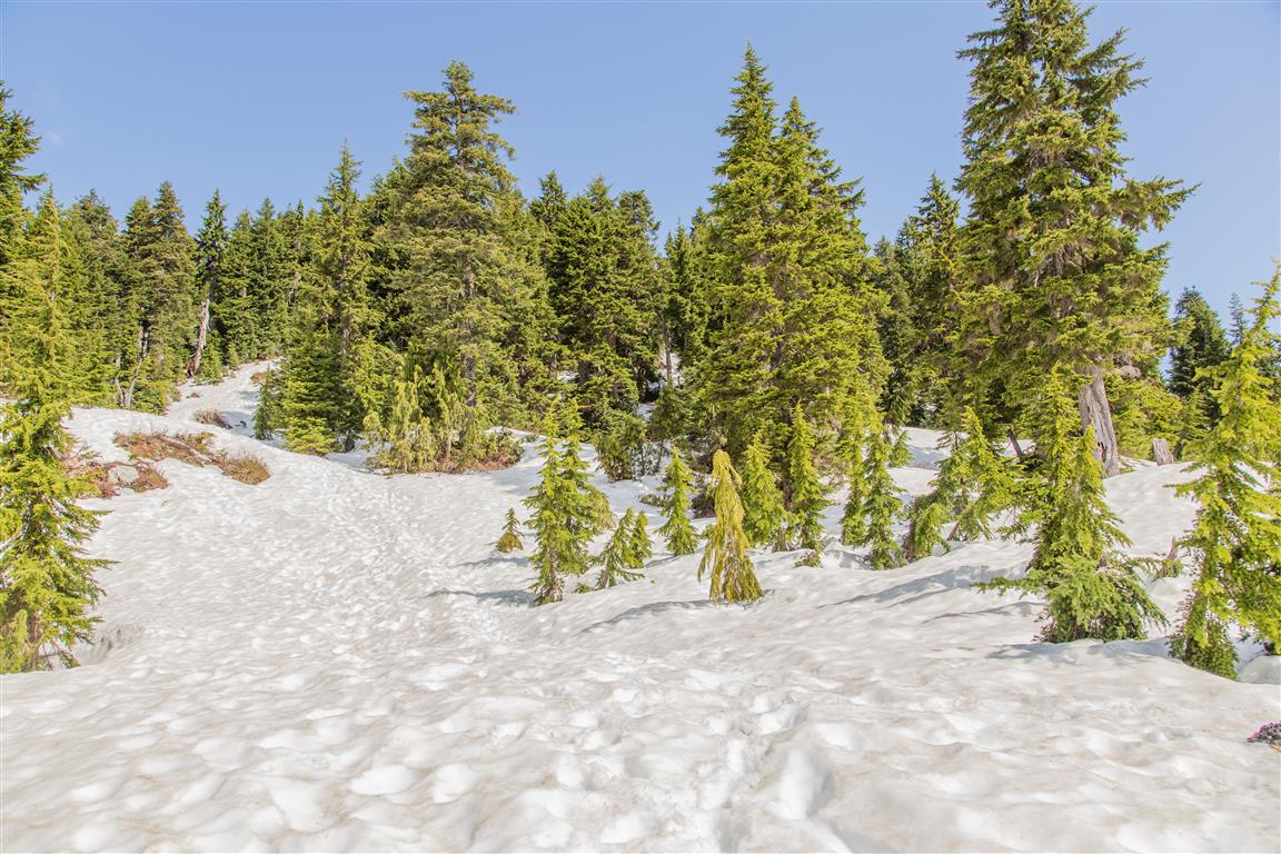
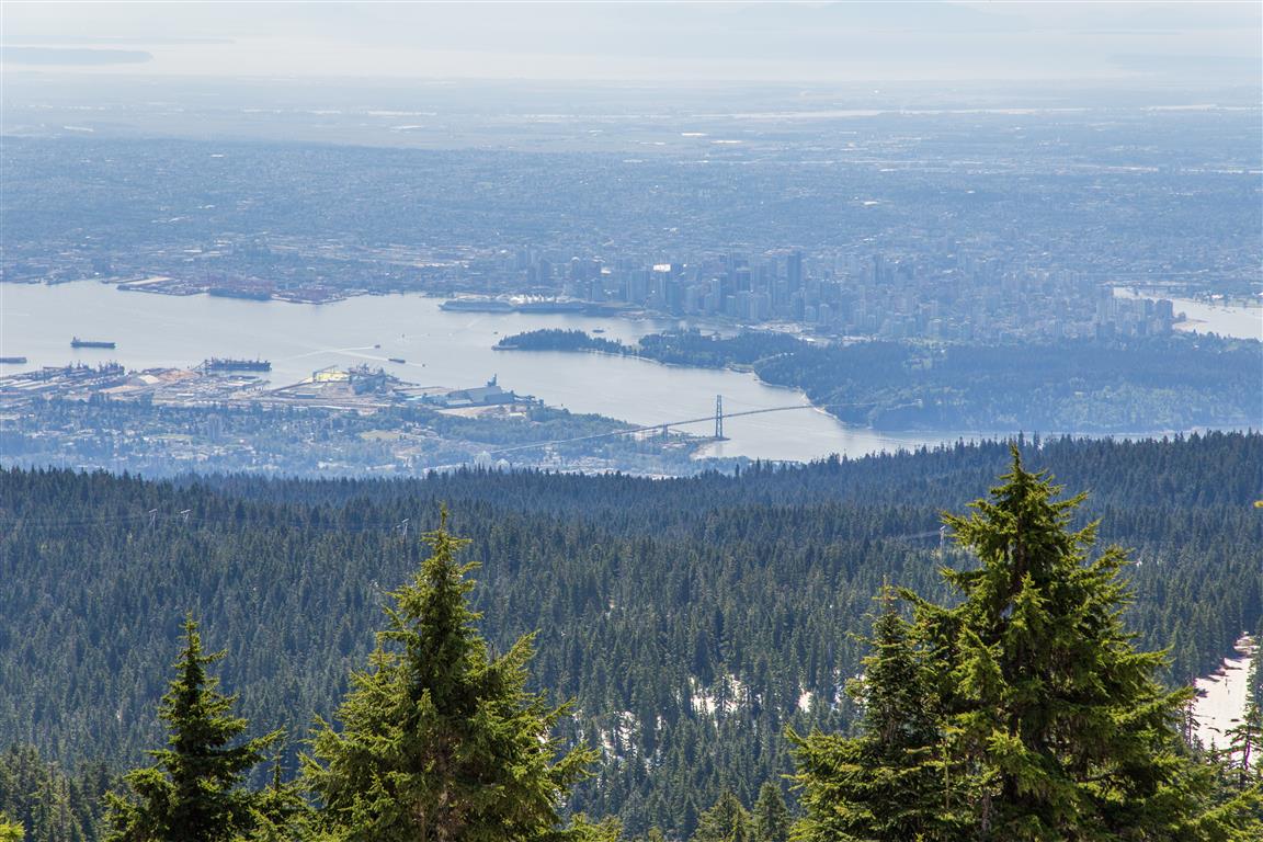
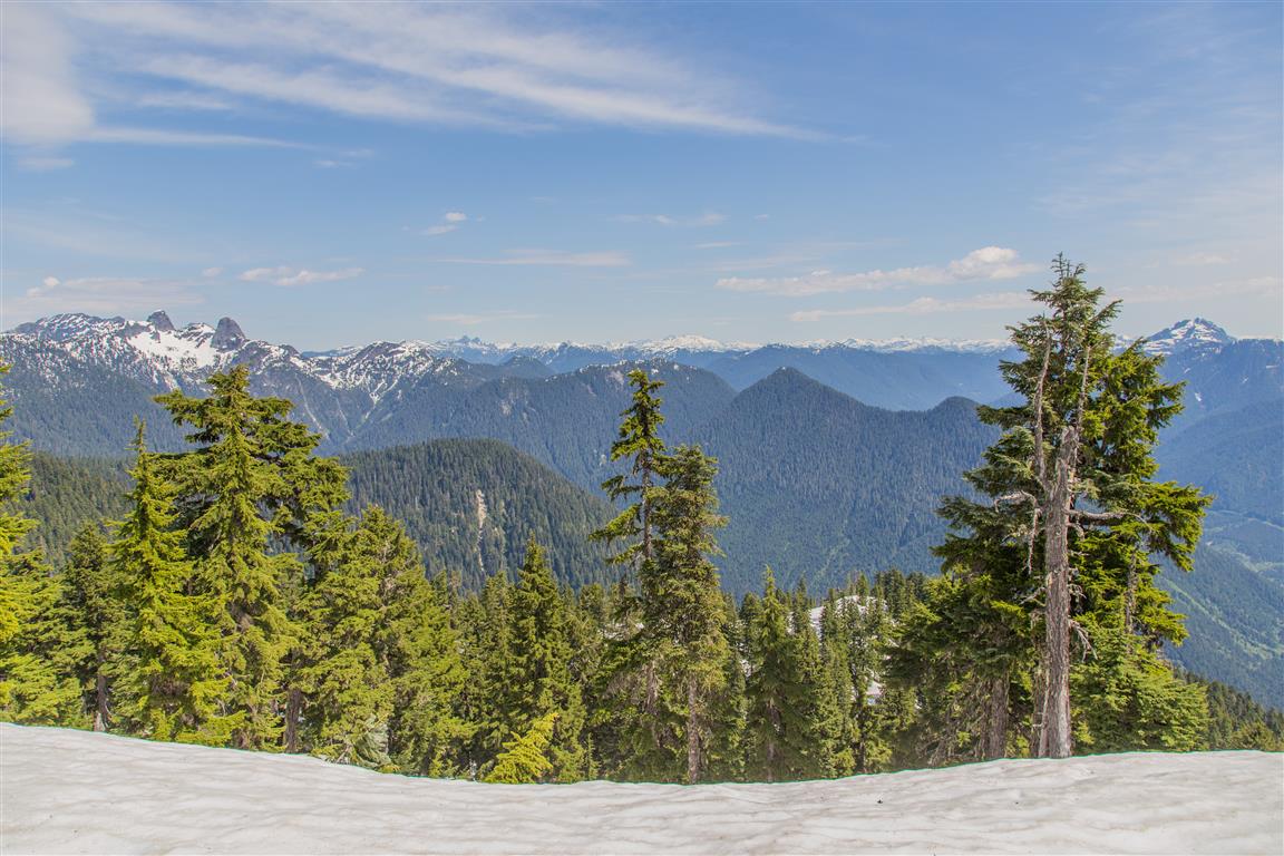
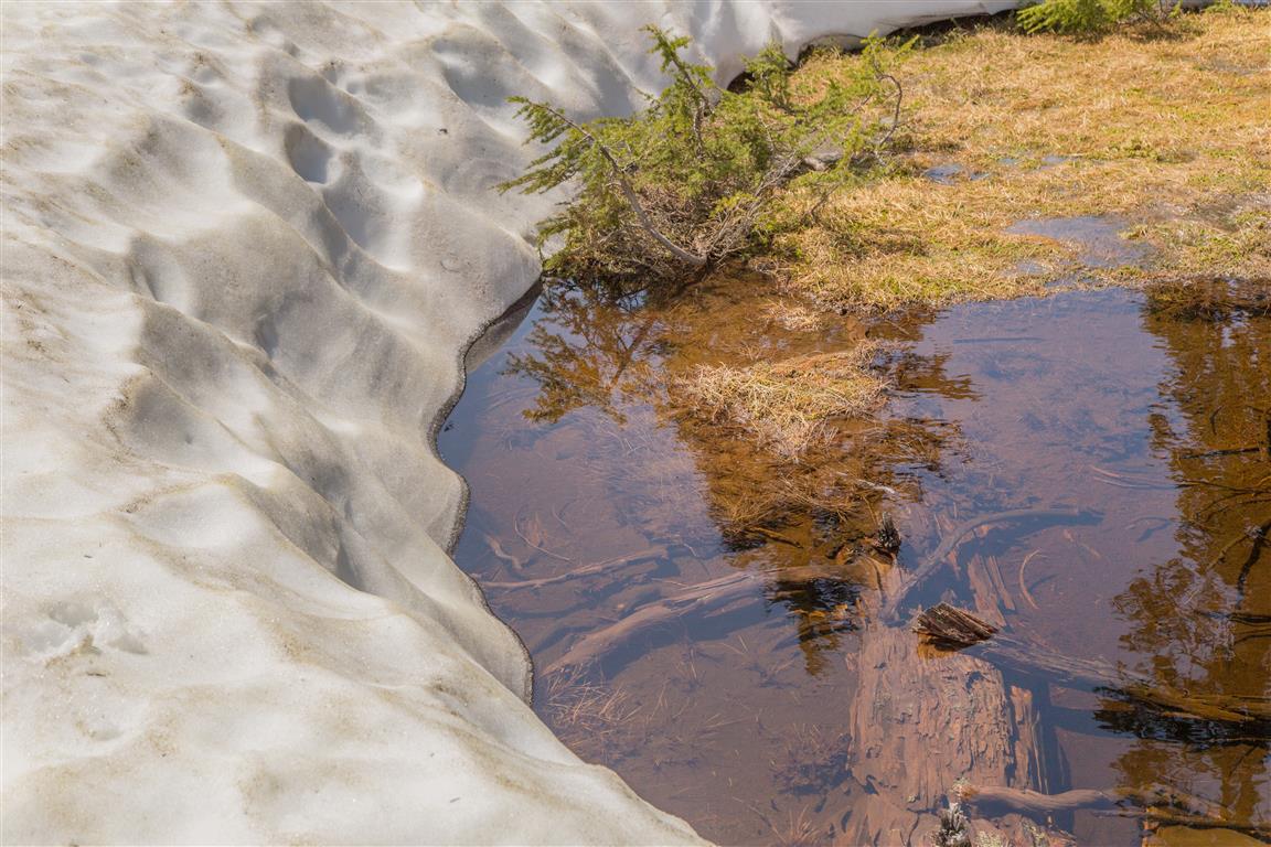
Hollyburn Mountain is located in Cypress Provincial Park, West Vancouver. When I went in May, there was still lots of snow up there (2-3 m in areas). I went up with spikes and poles, which helped immensely. Most people up there didn’t have either and were slipping and sliding. On your ascent make sure to look back once in a while to see the beautiful views of Vancouver. At the summit, there are more amazing views of Vancouver, Mt. Strachan, The Lions and more mountains to the north. Note, that due to the snow, there is a winter route and a summer route – the winter route is pretty much straight up, while the summer route does some meandering through the forest. for this hike, you should park in the Cypress Mountain Nordic Area (see coordinates and link below).
The Stats:
Distance: 7 km (return)
Time: 3.5 hours
Low point: 914 m
High point: 1323 m
Elevation gain: 409 m
Trailhead: 49° 22’ 46.5” by 123° 11’ 29” (Google Maps and Navigation)
The route…
The photos…
★★★★★★★★★★★
Before heading out on your hike, make sure you are well prepared. This means, having the TEN ESSENTIALS. It is also important to leave a trip plan (route details and estimated return time) with someone you trust.
Bring your smartphone, fully charged and put it in airplane mode while hiking. I always bring back-up battery packs for extra piece of mind. It is highly recommended that you bring a GPS device; I use my smartphone with a GPS app (Backcountry Navigator). The GPS will work in airplane mode. Learn how to use it before your hike.
For anyone new to hiking, there is a rule to which hikers follow; it is called “Leave No Trace” or LNT. The concept is generally to pack out what you pack in and respect nature, so all future visitors can enjoy what you have enjoyed.
To learn more about LNT, please check out this BLOG by a certified LNT Trainer.
Only a smiling visitor here to share the love (:, btw great design and style. “The price one pays for pursuing a profession, or calling, is an intimate knowledge of its ugly side.” by James Arthur Baldwin.
I have been browsing online more than three hours today, yet I never found any interesting article like yours. It’s pretty worth enough for me. In my view, if all site owners and bloggers made good content as you did, the net will be much more useful than ever before.
Its fantastic as your other posts : D, thanks for putting up. “Age is a function of mind over matter if you don’t mind, it doesn’t matter.” by Leroy Robert Satchel Paige.
Hey! This post couldn’t be written any better! Reading this post reminds me of my good old room mate! He always kept chatting about this. I will forward this post to him. Pretty sure he will have a good read. Thank you for sharing!
Most Read This Month Article Most Cited This Month Dosimetry of interstitial brachytherapy sources: Recommendations of
the AAPM Radiation Therapy Committee Task Group No.
viagra vs cialis vs levitra (saleviabuy.com) does viagra work the first time?
This article changed my life! http://genqpviag.com best website for generic viagra
The algorithm may include additional tests to guard against misdiagnosis of other diseases as IBS.
purchase viagra online with paypal get a viagra
prescription online
I am always thought about this, regards for putting up.
When I originally commented I clicked the -Notify me when new feedback are added- checkbox and now each time a remark is added I get four emails with the same comment. Is there any approach you may take away me from that service? Thanks!
Hello there I am so happy I found your site, I really found you by accident, while I was looking on Askjeeve for something else, Anyways I am here now and would just like to say thanks for a fantastic post and a all round thrilling blog (I also love the theme/design), I don’t have time to read it all at the minute but I have bookmarked it and also added in your RSS feeds, so when I have time I will be back to read much more, Please do keep up the superb job.
Very interesting subject, regards for putting up.
I reckon something really special in this website .
F*ckin’ tremendous issues here. I’m very glad to look your article. Thanks so much and i’m having a look ahead to contact you. Will you kindly drop me a e-mail?