Tag Archives: hike

Hiking to lose Weight

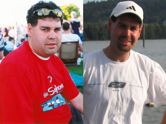
Hiking became an important part of getting fitter and losing weight for me. When I started, I weighed about 240 lb (109 kg). Over time, I reached about 170 lb (77 kg).

I did not begin with difficult mountain hikes. I started by walking approximately 5 km on relatively flat trails about three times a week. I timed some of my walks, tracked my progress, and gradually moved on to longer and more challenging hikes.

A personal experience: What follows is what helped me. Weight management is individual, and factors such as health conditions, medications, sleep, stress, and nutrition can all play a role. If you are making major changes to your activity level or diet, particularly if you have a medical condition, consider speaking with a health professional or registered dietitian.

My Before and After


Before and after photos showing my weight-loss progress

How I Got Started

For me, consistency was more important than trying to do too much too soon. Walking was a manageable starting point, and as my fitness improved I gradually added hills, longer distances, and more challenging hikes.

  • Start easy. If you have not been active for a while, begin with shorter, relatively flat walks and build from there.
  • Increase gradually. Add distance, elevation, or pace a little at a time rather than increasing everything at once.
  • Track your activity. Distance, time, route, and frequency can help you see progress. I have used MapMyFitness to record my workouts.
  • Find activities you actually enjoy. Hiking worked for me because I wanted to keep doing it.
  • Consider a hiking or walking partner. Having someone else involved can make it easier to stay consistent.
  • Add strength training. Stronger legs, core, and upper body can improve both general fitness and hiking ability.
  • Allow time for recovery. Rest, sleep, and easier days are part of improving fitness.

For someone looking for a relatively easy walk at Buntzen Lake, the Energy Trail can be a good place to start.

Eating Habits That Helped Me

Exercise was only part of the equation for me. I also became much more aware of what I was eating and drinking.

Some of the habits I found useful were:

  • Making water my main drink.
  • Cutting back substantially on sugary drinks.
  • Eating more vegetables, fruit, whole grains, and protein-rich foods.
  • Choosing foods that helped me feel satisfied rather than simply eating the lowest-calorie option available.
  • Keeping nutritious snacks available when I knew I would be hungry.
  • Eating nuts and nut butters in reasonable portions. They can be filling, but they are also energy-dense.
  • Cooking at home more often and eating restaurant meals less frequently.
  • Using herbs, spices, mustard, lemon, and hot sauce to add flavour without relying heavily on rich sauces.
  • Reading nutrition labels rather than assuming that a product labelled “low fat” or “healthy” is necessarily a better choice.
  • Being aware of portion size, particularly with calorie-dense foods.
  • Limiting alcohol.

Cutting Back on Added Sugar

One of the biggest changes for me was reducing the amount of sugar I was drinking and eating. Sugary beverages are particularly easy to consume without feeling very full.

Foods and drinks I became more conscious of included:

  • soft drinks and other sugar-sweetened beverages;
  • sweetened coffee drinks;
  • fruit juice;
  • candy and chocolate;
  • cookies, cakes, pastries, and doughnuts;
  • syrups, jams, and sweet spreads;
  • sweetened breakfast cereals;
  • ice cream and other desserts; and
  • sauces and condiments that contain substantial added sugar.

This does not mean that every food containing sugar needs to be eliminated. For me, the bigger improvement came from recognizing the foods and drinks that contributed a lot of sugar and calories without adding much nutritional value.

Motivation and Consistency

The difficult part was not knowing that exercise and healthier eating were useful. The difficult part was sticking with them.

I found that setting small challenges worked better than thinking only about the final goal.

One example was sweetened coffee drinks. Rather than telling myself I could never have one again, I challenged myself to go without them for one month. One month eventually became three. Reaching that small goal gave me confidence that I could change other habits as well.

A challenge does not have to involve food. It could be:

  • walking 1, 2, or 3 km every day;
  • completing three walks each week for a month;
  • gradually improving your walking pace;
  • trying a new trail;
  • adding regular strength training; or
  • reducing the amount of time spent sitting.

Tracking Progress

I found it motivating to record my walks and hikes and watch my fitness improve. If you choose to track body weight as well, use a consistent approach. Body weight naturally fluctuates from day to day, so the overall trend is more useful than any single measurement.

Progress can also show up in other ways: walking farther, climbing hills more comfortably, recovering faster, sleeping better, or simply having more energy.

What I Learned

The biggest lesson for me was that I did not need to begin as a strong hiker. I needed to begin with something I could actually sustain.

A 5 km walk eventually became longer walks. Longer walks became hikes. The hikes became more challenging, and the improvements in fitness gave me more confidence to keep going.

Hiking was not a quick fix. It became part of my lifestyle, and that made the difference.
Current Canadian guidance: Adults are encouraged to accumulate at least 150 minutes of moderate-to-vigorous physical activity each week and include regular muscle-strengthening activity. Canada’s Food Guide emphasizes vegetables and fruit, whole grains, protein foods, water, and limiting highly processed foods and sugary drinks.

White Rock Viewpoint

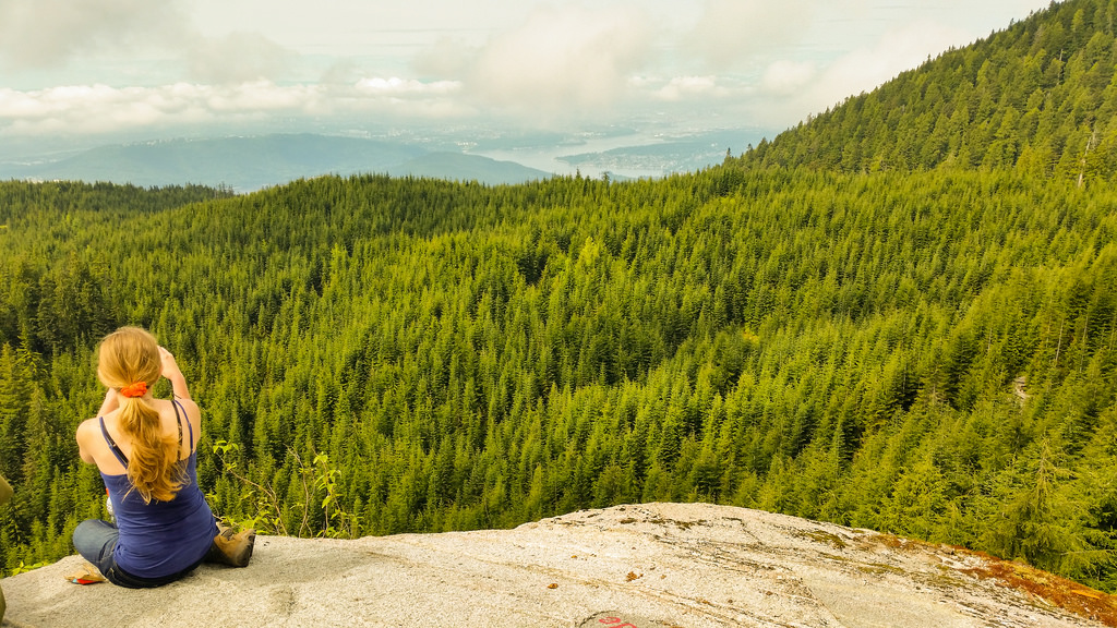
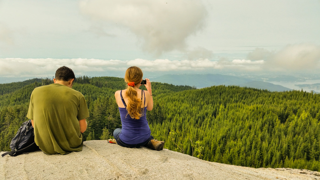
Today was my second venture up Eagle Mountain. The route started at the end of Hickory Drive in Port Moody and went as far as the White Rock Viewpoint (Not a view of White Rock, the town). The white rock is a large rock, whitish in colour and there is a large platform to sit, have a snack or lunch and take in the great views.

Here is the route from Hickory Drive, Port Moody…

The stats:

Distance: 14.7 km
Starting elevation: 327 m
Max elevation: 984 m
Elevation gain: 657 m
Cumulative elevation gain: 889 m
Time: 5-7 hours

Here are two great views from the viewpoint (950 m elevation)…

White Rock Viewpoint on Eagle Mountain

White Rock Viewpoint on Eagle Mountain2

This was my first time up this route and there are many many trails and they’re not marked well. I had a GPS unit and my smartphone for back up. As it turns out the smartphone had a GPS signal all day and that was the go to device. I highly recommend using one or both of these devices up here.
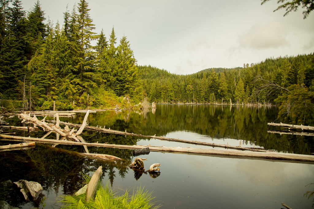
On the way up, you’ll see Cypress Lake at about the 5km mark. Here is a picture of the peaceful Cypress Lake at 800 m elevation…
Cypress Lake on Eagle Mountain

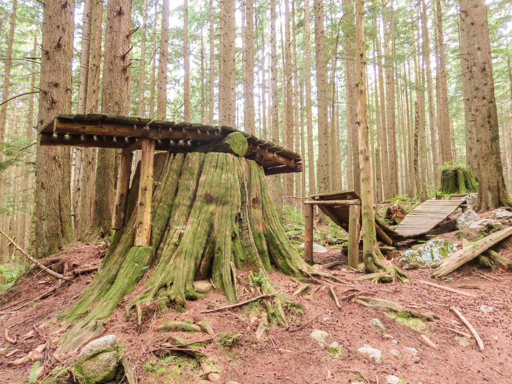
Also on the way up, you’ll pass through a network of mountain biking trails and there are some serious jumps here. See below…

Killer mountain bike ramp

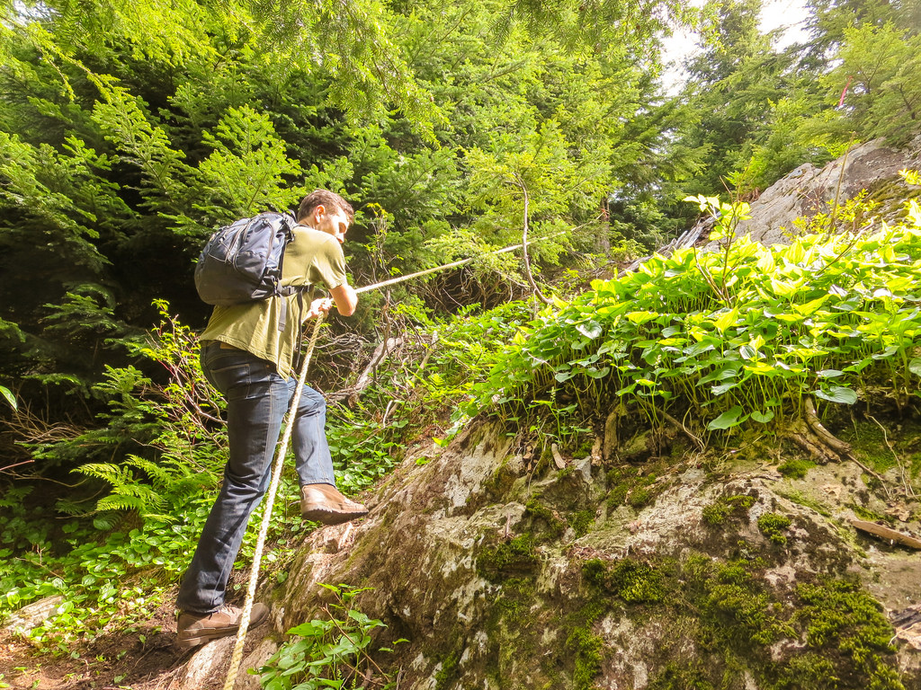
There is a rope on one steep section of the trail…

Rope Climbing

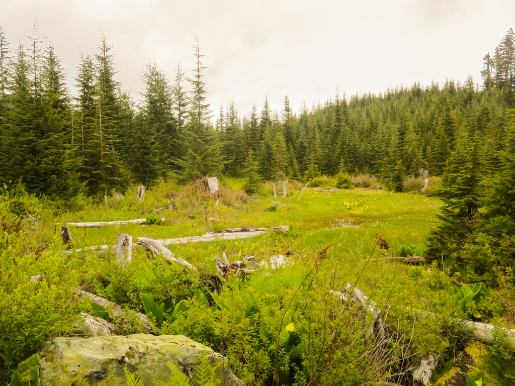
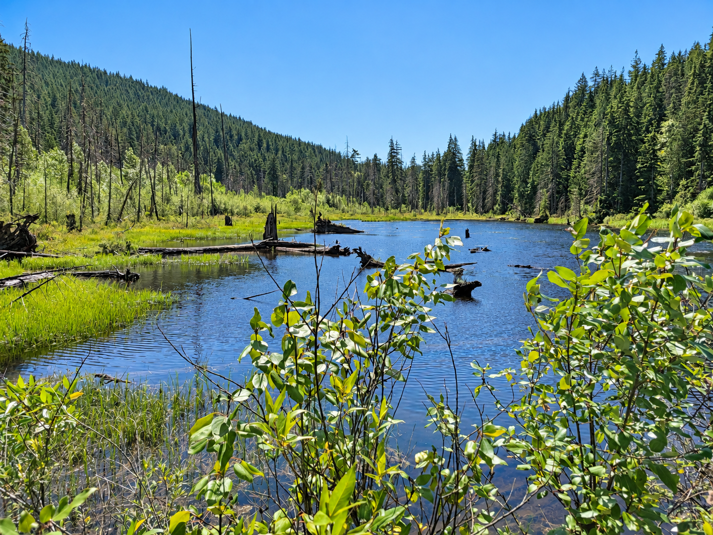
The next photo is a serene little marsh…

Marsh on Eagle Mountain

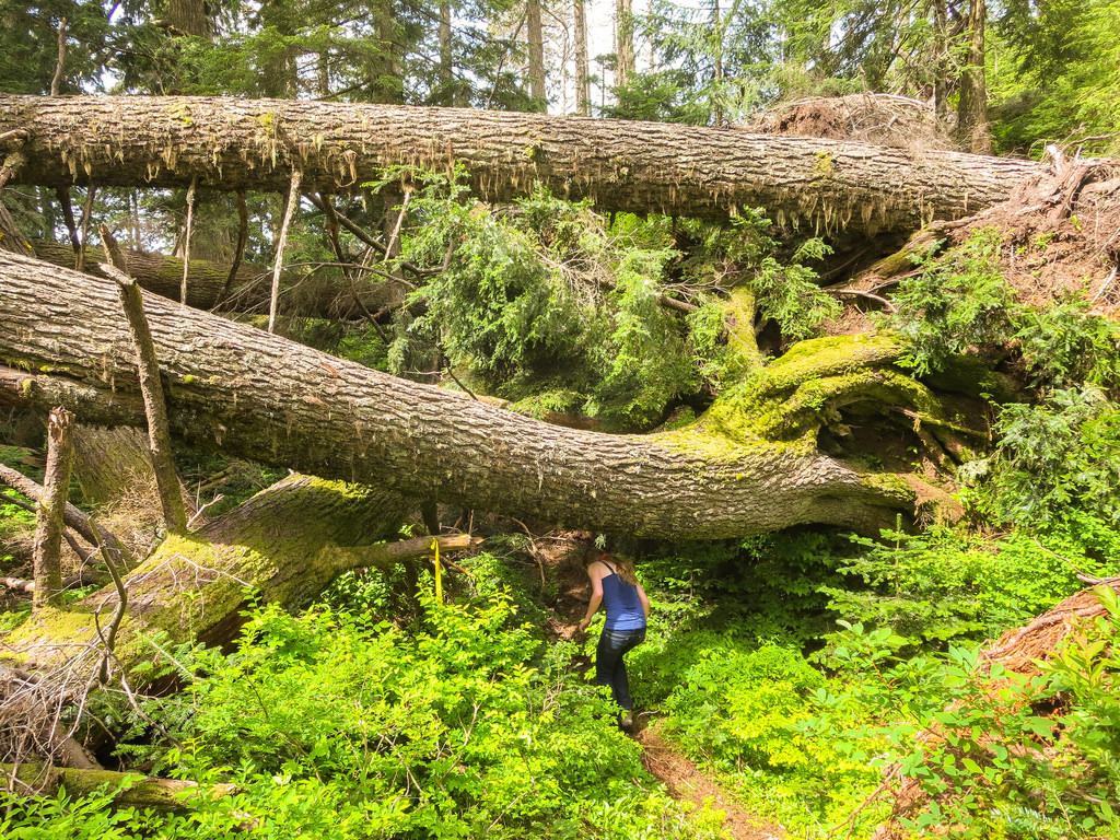
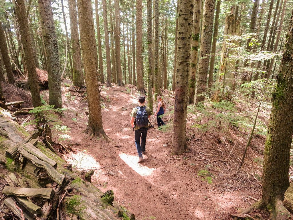
I’ll end with some various trail pictures…

Blow downs

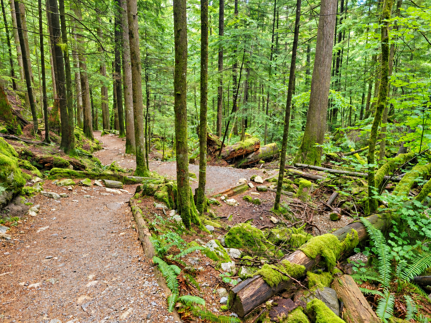
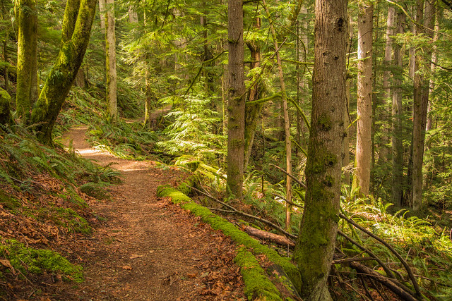
Trail

Trail 2

★★★★★★★★★★★

Before heading out on your hike, make sure you are well prepared. This means, having the TEN ESSENTIALS. It is also important to leave a trip plan (route details and estimated return time) with someone you trust.

Bring your smartphone, fully charged and put it in airplane mode while hiking. I always bring back-up battery packs for extra piece of mind. It is highly recommended that you bring a GPS device; I use my smartphone with a GPS app (Backcountry Navigator). The GPS will work in airplane mode. Learn how to use it before your hike.

For anyone new to hiking, there is a rule to which hikers follow; it is called “Leave No Trace” or LNT. The concept is generally to pack out what you pack in and respect nature, so all future visitors can enjoy what you have enjoyed.
To learn more about LNT, please check out this BLOG by a certified LNT Trainer.

★★★★★★★★★★★

Buntzen Lake Loop

The Buntzen Lake Loop is the most popular hike at Buntzen Lake and one of the best lake loops in the Metro Vancouver area. The trail circles Buntzen Lake through mature coastal forest, follows long sections of shoreline, crosses numerous small bridges, passes North Beach, and crosses the suspension bridge near the north end of the lake.

At approximately 10.1 km, the loop is long enough to feel like a good hike without being especially difficult. There are plenty of short climbs, descents, exposed roots, rocks, and uneven sections, particularly along the west side of the lake.

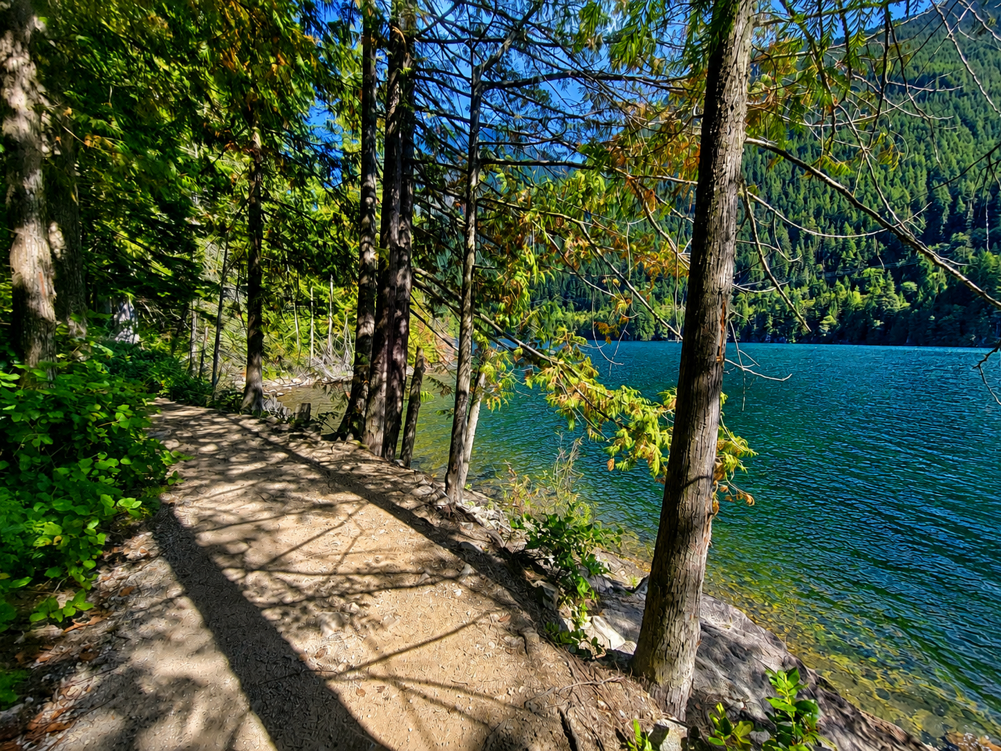
Buntzen Lake Trail beside the lake
A lakeside section of the Buntzen Lake Trail.

Buntzen Lake Loop Trail Stats

Distance: approximately 10.1 km
Typical hiking time: 2 to 4 hours
Elevation gain: approximately 100 m
Cumulative elevation gain: approximately 325 m
Difficulty: Easy to moderate
Route: Loop

Faster hikers can complete the loop in around two hours, while those stopping regularly for photos, a break at North Beach, or a picnic may take considerably longer.

Buntzen Lake Loop Map

The interactive map below shows an actual GPS recording of the Buntzen Lake Loop. Use the layer control in the upper-right corner to switch between the regular map and satellite imagery.

Which Direction Should You Hike?

I normally hike the loop clockwise, starting along the west side of Buntzen Lake. The loop can be hiked in either direction, but I prefer doing the west side first because it is longer, hillier, and generally more shaded.

The west side has numerous short climbs and descents as the trail follows the terrain above the shoreline. None of the climbs are particularly large, but the constant ups and downs account for much of the cumulative elevation gain on the hike.

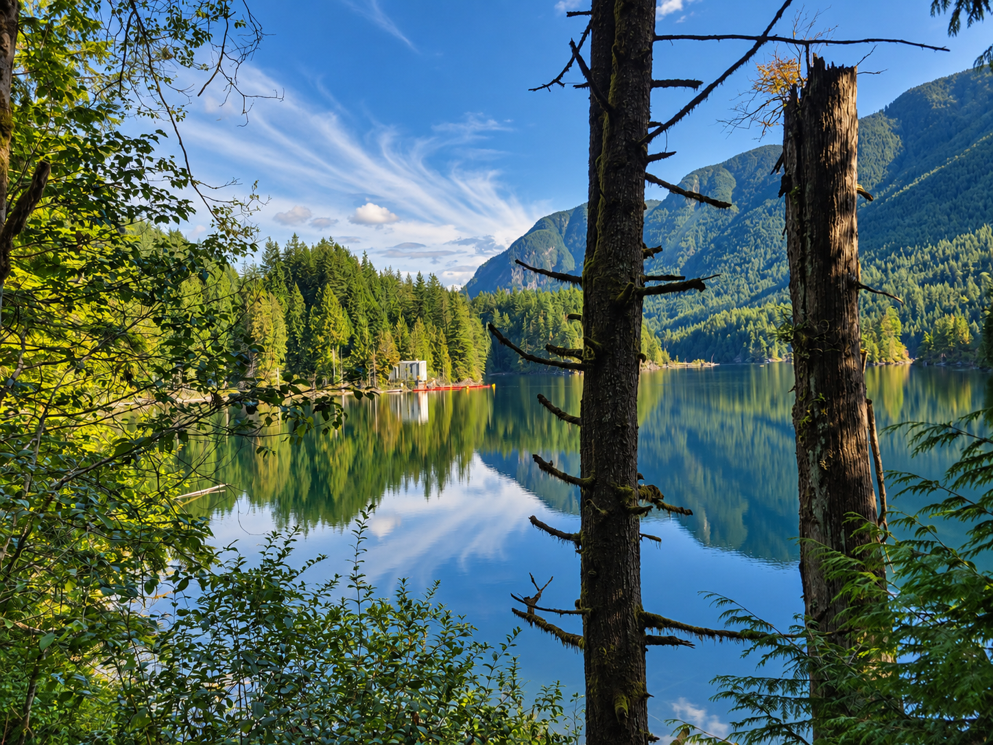
Scenic view across Buntzen Lake from the trail
One of the many views across Buntzen Lake from the trail.

Most of the trail passes through mature forest, but there are frequent openings where you can look across Buntzen Lake and toward the surrounding mountains.

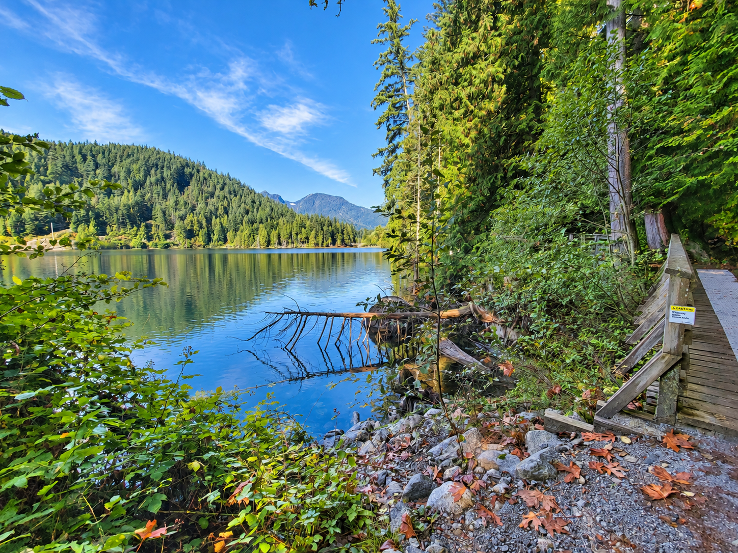
View from the Buntzen Lake Trail
A view from the Buntzen Lake Trail.

North Beach and the Suspension Bridge

At the north end of the lake, the route reaches North Beach and the Buntzen Lake Suspension Bridge. When hiking clockwise with the west side first, you have completed roughly 60 percent of the loop by the time you reach North Beach.

North Beach is a good place to stop for a break before continuing around the lake. From here, the route crosses the suspension bridge and continues south along the east side.

The east side is generally easier and less undulating than the west side, although there are still roots, rocks, short hills, and uneven trail sections. Portions of the return route also follow Powerhouse Road.

What Is the Trail Like?

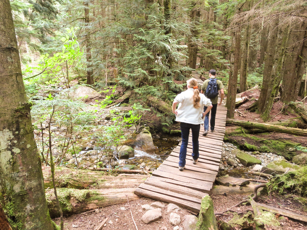
The Buntzen Lake Loop is well defined and generally easy to follow. It is not, however, a completely flat lakeside walk. Expect forest trail, exposed roots, rocks, wooden bridges, short climbs and descents, and occasional muddy or slippery areas following rain.

Forested section of the Buntzen Lake Trail
The Buntzen Lake Trail passes through extensive sections of coastal forest.

Much of the trail is shaded, making the loop a good choice during warmer weather. In the wetter months, roots, rocks, wooden bridges, and other surfaces can become slippery.

The South End of Buntzen Lake

Near the south end of the loop, the route passes the shallow southwest arm of Buntzen Lake before returning toward South Beach and the main recreation area.

South end of Buntzen Lake
The shallow southwest end of Buntzen Lake.

When to Hike the Buntzen Lake Loop

The Buntzen Lake Loop can be hiked throughout much of the year. Spring and autumn are particularly enjoyable, while summer weekends and warm sunny days can be extremely busy.

The difference between a quiet morning and a hot summer afternoon can be dramatic, particularly around South Beach.

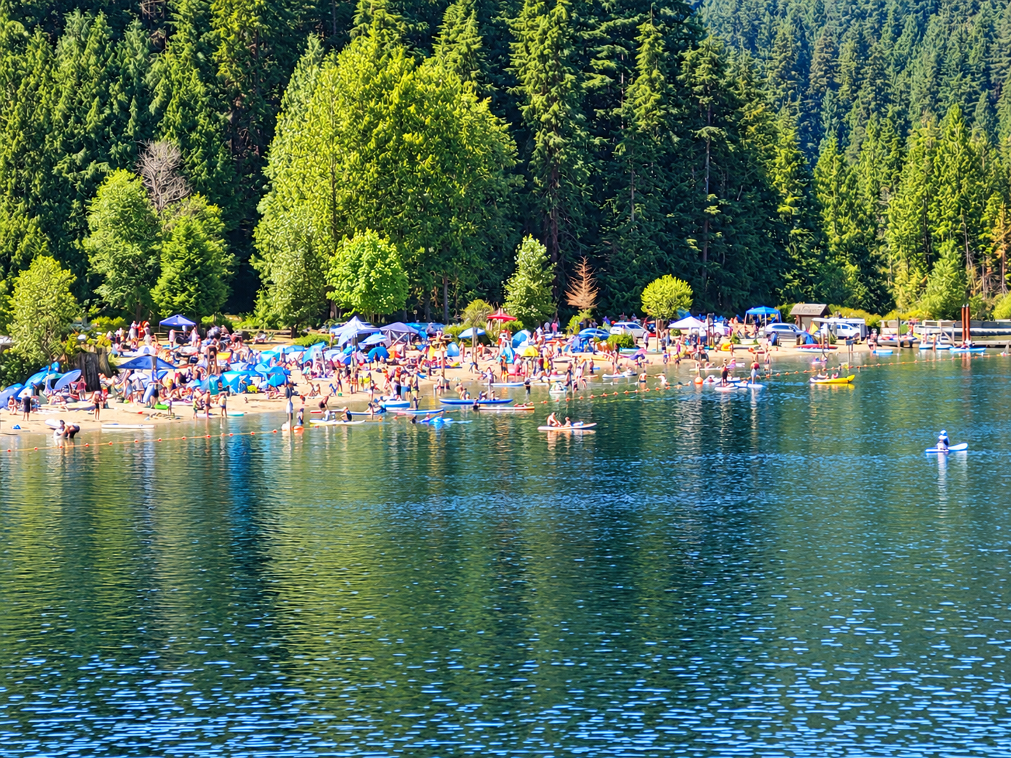
Busy summer day at Buntzen Lake South Beach
South Beach on a busy summer day.

Parking requirements, gate hours, and recreation-area access can change seasonally. Check current information before heading to Buntzen Lake, particularly during the busy summer season.

Before You Go

Wear suitable footwear, carry water, and bring a fully charged phone. Cell coverage can be unreliable in parts of the area, so downloading a map before starting the hike is a good idea. Allow enough time to complete the loop before the recreation-area gate closes.

Dogs are permitted on the trails but should be kept under control and must be leashed where required. Please pack out anything you bring with you and leave the trail as you found it.

Trail conditions can change due to weather, maintenance, or temporary closures. Before heading out, check BC Hydro for any current access restrictions or major trail advisories.

Lakeview Trail

Lakeview Trail is one of my favourite alternatives to the regular Buntzen Lake Loop. I think of it as the Buntzen Lake Trail’s bigger brother: it follows the western side of the lake but adds more climbing, more elevation changes, quieter forest, and a much more rugged feel.

My usual route follows Lakeview Trail north along the west side of Buntzen Lake, crosses near North Beach, and then returns south on the regular Buntzen Lake Trail along the eastern shore.

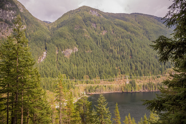
The route is generally much less busy than the main Buntzen Lake Trail and includes mature forest, small creeks, hydro rights-of-way, and one of the better viewpoints over the north end of the lake.

Trail Stats

These statistics are based on my more recent GPS recording of the full Lakeview Trail loop.

  • Distance: approximately 12.4 km loop
  • Time: My time is usually around 2.5 hours
  • Low point: approximately 90 m
  • High point: approximately 251 m
  • Net elevation difference: approximately 162 m
  • Cumulative elevation gain: approximately 420 m
  • Difficulty: Moderate
  • Route: Lakeview Trail northbound, returning on the east side of Buntzen Lake
  • 📍 Trailhead and parking: Google Maps and navigation

Lakeview Trail vs. Buntzen Lake Trail

Lakeview Trail is noticeably more demanding than the regular Buntzen Lake Trail on the west side. It is longer, hillier, and rougher in places, but usually much quieter.

West-side route Approx. distance Elevation Character
Lakeview Trail About 1 km longer on the west-side traverse More ups and downs Quieter, rougher, more forested
Buntzen Lake Trail Shorter Less climbing Easier and generally much busier

Which route should you choose?

If you want the easier and more popular route, take the regular Buntzen Lake Trail. If you want a little more distance, more climbing, and considerably fewer people, Lakeview Trail is the better choice.

That difference can be dramatic on quieter days. I have completed Lakeview Trail while seeing only one other person on the entire western section.

Interesting Facts

  • Alternative west-side route: Lakeview Trail parallels the regular Buntzen Lake Trail for much of the western side of the lake but climbs substantially higher onto the forested slopes.
  • Less crowded: Lakeview is generally much quieter than the main Buntzen Lake Trail, especially away from the junctions near South Beach and North Beach.
  • Multiple-use trail: Portions of Lakeview Trail have historically been used by hikers, mountain bikers, and equestrians.
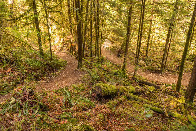
  • Mature forest: Several sections pass through impressive coastal forest with large trees, moss-covered ground, and small creeks.
  • Northern viewpoint: One of the best viewpoints looks toward North Beach, Swan Falls, Eagle Mountain, and the northern end of Buntzen Lake.
  • Hydro infrastructure: Parts of the route cross transmission-line rights-of-way and old access roads associated with BC Hydro infrastructure around the reservoir.
  • Biogeoclimatic zone: Lakeview Trail lies within the Coastal Western Hemlock biogeoclimatic zone, with western hemlock, western redcedar, Douglas-fir, mosses, ferns, and other moisture-loving coastal forest vegetation.

The Route

The interactive map below shows my actual GPS recording of the Lakeview Trail loop. The route travels north on the higher Lakeview Trail along the west side of Buntzen Lake before returning south on the eastern side.

Use the layer control in the upper-right corner to switch between the regular map and satellite imagery.

Starting the Lakeview Trail

Lakeview Trail begins near the Pumphouse Road area on the southwest side of Buntzen Lake. Instead of staying on the lower Buntzen Lake Trail, the route climbs away from the shoreline and begins traversing the western slopes.

The difference is noticeable fairly quickly. Lakeview has more short climbs and descents, a rougher surface, and a quieter feel than the main lakeside trail.

Lakeview Trail at Buntzen Lake
Lakeview Trail on the west side of Buntzen Lake.

Through the Forest

Much of Lakeview Trail passes through mature forest. Compared with the main Buntzen Lake Trail, there are fewer open shoreline sections and considerably less foot traffic.

Quiet forest section of Lakeview Trail at Buntzen Lake
A quiet forest section of Lakeview Trail.
Forest on Lakeview Trail at Buntzen Lake
Another peaceful section of Lakeview Trail.

Creeks and Large Trees

Small creeks drain down the western slopes toward Buntzen Lake, and several sections of trail pass beside flowing water.

Creek beside Lakeview Trail at Buntzen Lake
A creek alongside Lakeview Trail.

The forest also contains some very large trees and downed logs.

Large fallen tree beside Lakeview Trail
A large downed tree beside the trail.

Hydro Right-of-Way

One section leaves the forest and crosses a hydro right-of-way before entering the trees again. The open terrain provides a very different feel from the shaded forest sections.

Lakeview Trail crossing a hydro right-of-way at Buntzen Lake
Lakeview Trail crossing the hydro right-of-way.

Lakeview Trail Viewpoints

There are signs for two viewpoints along the route. The more southerly viewpoint has become increasingly screened by trees, while the northern viewpoint provides the better view.

From the northern viewpoint, you can look toward North Beach, the northern end of Buntzen Lake, Swan Falls, and Eagle Mountain.

North Beach and Swan Falls viewed from Lakeview Trail
The northern Lakeview Trail viewpoint, looking toward North Beach and Swan Falls.
View from Lakeview Trail above Buntzen Lake
Another view from Lakeview Trail.

Historic Trail Sign

Older Lakeview Trail signs can still be found along the route and are part of the trail’s character.

Old Lakeview Trail sign at Buntzen Lake
An older Lakeview Trail sign.

Where the Trails Come Close

At one point, Lakeview Trail passes very close to the regular Buntzen Lake Trail even though the two routes have very different characters.

Lakeview Trail running close to the Buntzen Lake Trail
Lakeview Trail and the regular Buntzen Lake Trail pass close together here.

Returning on the East Side

My preferred way to complete the hike is to continue to the north end of Buntzen Lake and return along the regular trail on the eastern shore. This creates a varied loop rather than simply retracing Lakeview Trail.

The eastern side is generally easier and faster, making it a good return route after the more undulating Lakeview section.

What to Bring

Lakeview Trail is longer and rougher than the regular Buntzen Lake Loop, but it is still a relatively accessible day hike. Carry water, suitable footwear, a basic first-aid kit, navigation, and a headlamp if there is any chance of returning late.

Download an offline map before starting and carry a fully charged phone with backup power if needed. Conditions can become muddy or slippery after rain, and fallen trees occasionally affect the route.

Leave No Trace

Please follow Leave No Trace principles throughout the hike. Stay on established trails, pack out everything you bring in, avoid widening muddy sections, and leave plants, wildlife, and old trail infrastructure undisturbed.

Before You Go

Check current BC Hydro Buntzen Lake trail information before heading out. Also confirm current gate hours, parking requirements, trail conditions, and any temporary closures before travelling.

The route description, photographs, GPS track, and trail conditions on this page reflect conditions when I completed the hike. Trail markings, fallen trees, mud, viewpoints, gate hours, parking requirements, and access may have changed since then. Confirm current conditions before heading out.

Old Signs Around Buntzen Lake

One of the little things I have always liked about Buntzen Lake is the collection of old wooden signs scattered around the recreation area and trails.

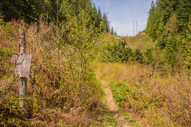
Many of the older signs were made from wood with simple painted or carved lettering, often in yellow. Some were located in busy areas near South Beach and the parking lots, while others were hidden away beside quieter trails where relatively few visitors would ever notice them.

Most of the photographs on this page were taken around 2014. Some of these signs may have since been replaced, moved, or removed, so I now think of this page as a small photographic record of an earlier generation of Buntzen Lake signage.

Historical photographs
The signs shown below should not be relied upon for current directions, rules, or trail conditions. Always follow current onsite signage and BC Hydro notices when visiting Buntzen Lake.

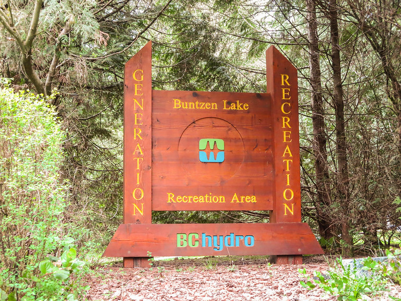
The Buntzen Lake Entrance Sign

The entrance sign was one of the more colourful signs around Buntzen Lake and looked quite different from the simpler yellow-lettered trail signs.


Old Buntzen Lake entrance sign

The Buntzen Lake entrance sign photographed in 2014.

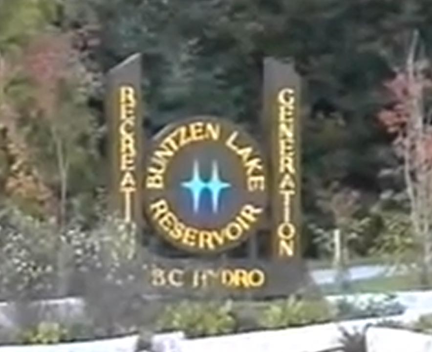
The Entrance Sign in 1995

The entrance looked quite different in 1995. The photograph below is not especially high resolution, but it provides an interesting comparison with the later entrance sign.


Buntzen Lake entrance sign in 1995

The Buntzen Lake entrance sign in 1995.

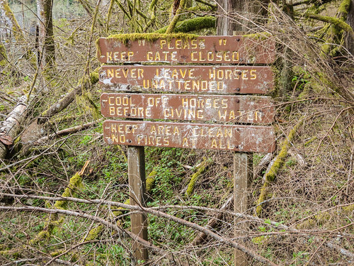
Old Signs Near Swan Falls

Some of the more interesting signs were in quieter parts of the trail system. Near the Swan Falls trailhead, I found several older wooden signs that many visitors probably never noticed.


Old wooden sign near the Swan Falls trailhead

An old wooden sign near the Swan Falls trailhead.

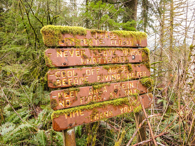
This one had almost become part of the forest, surrounded by moss and vegetation.


Old moss-covered sign near Buntzen Lake

An old sign slowly disappearing into the surrounding vegetation.

Signs Near the Parking Area

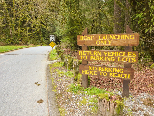
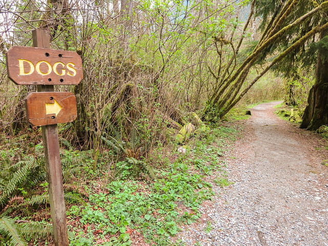
Some of the older signs around the main recreation area were much more practical, including signs for boating and dogs.


Old boat launching sign at Buntzen Lake

An old boat launching sign near the parking area.


Old dog information sign at Buntzen Lake

An older dog information sign near the parking area.

South Beach Warning Sign

This warning sign was located around South Beach. Like many of the older signs, it used a very simple wooden design that blended into the recreation area much more than modern metal or plastic signage would.


Old warning sign at South Beach, Buntzen Lake

An older warning sign at South Beach.

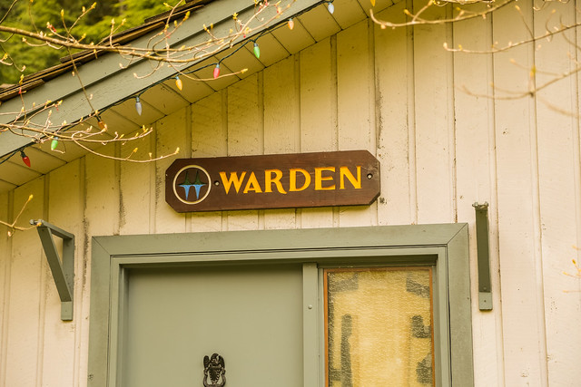
The Warden’s Office

Even the Buntzen Lake Warden’s Office had its own small wooden sign.


Old Warden's Office sign at Buntzen Lake

The old wooden sign at the Buntzen Lake Warden’s Office.

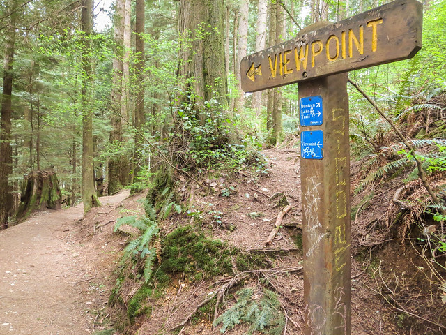
Viewpoint Signs

A number of small “Viewpoint” signs could also be found along the trail system. This one was on the east side of the Buntzen Lake Trail.


Old viewpoint sign on the Buntzen Lake Trail

An old viewpoint sign on the east side of the Buntzen Lake Trail.

Lakeview Trail Signs

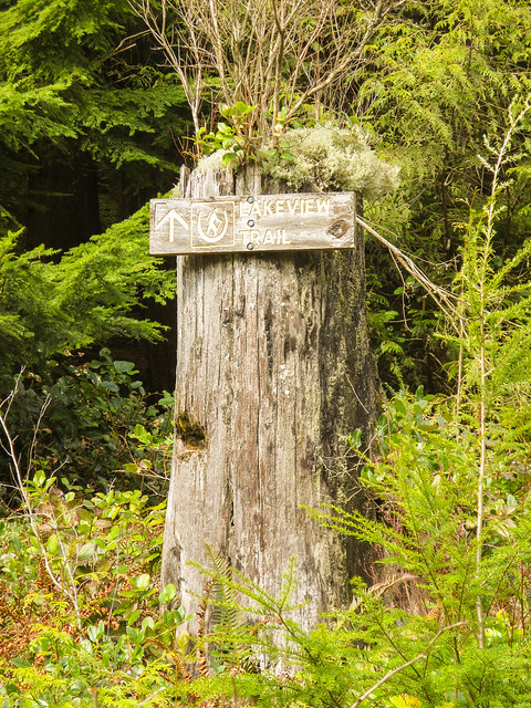
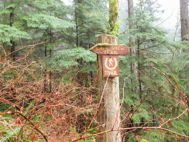
Lakeview Trail also had several of the classic wooden signs with yellow lettering.


Old Lakeview Trail sign at Buntzen Lake

An old Lakeview Trail sign.


Older directional sign on Lakeview Trail

Another old sign along Lakeview Trail.

Signs on the West Side of Buntzen Lake

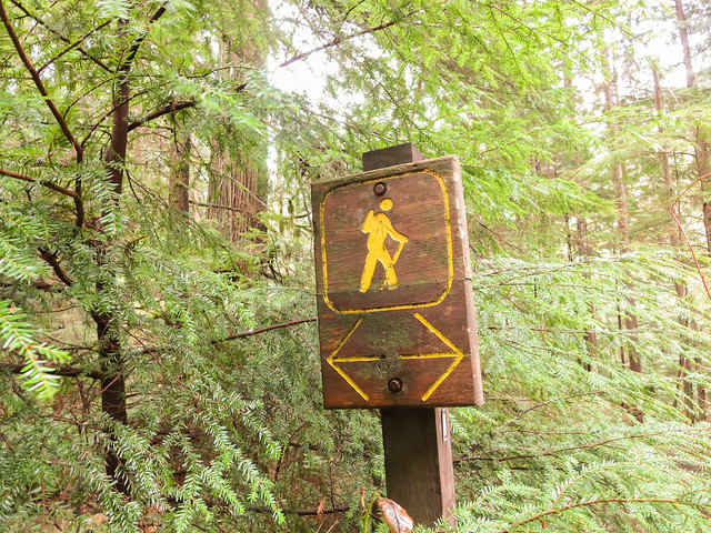
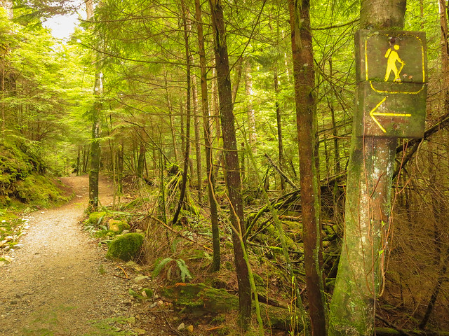
The west side of the Buntzen Lake Trail had a few directional signs that always struck me as slightly unnecessary because there often did not seem to be much choice about which way to go.


Old directional sign on the west side of Buntzen Lake

An old directional sign on the west side of Buntzen Lake.


Old hiking trail sign at Buntzen Lake

Another old trail sign along the west side of the lake.

Equestrian Sign on Pumphouse Road

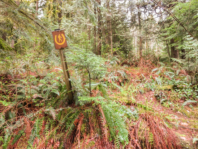
Buntzen Lake’s trail system has historically accommodated more than just hikers. This tiny equestrian sign on Pumphouse Road was easy to miss.


Old equestrian sign on Pumphouse Road at Buntzen Lake

A small equestrian sign on Pumphouse Road.

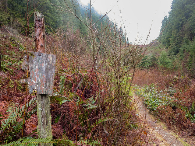
A Sign That Had Seen Better Days

Some signs survived better than others. This one had clearly spent a long time exposed to Buntzen Lake’s wet coastal climate.


Weathered old wooden sign at Buntzen Lake

A very weathered old wooden sign.

Small Pieces of Buntzen Lake History

Signs are easy to overlook, but they are part of the history of a recreation area. Designs change, trail names and routes evolve, and newer signs gradually replace older ones.

Looking back at photographs like these is interesting because they record details that may otherwise disappear without anyone really noticing.

For more about the history of the area, see my Buntzen Lake History page.

The photographs on this page are historical and mainly date from around 2014, with the entrance-sign photograph from 1995 noted separately. Current signage, trail directions, and recreation-area rules may differ.