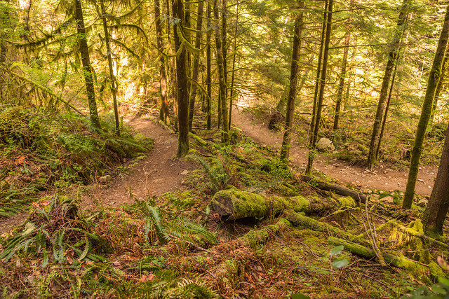
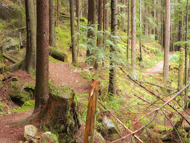
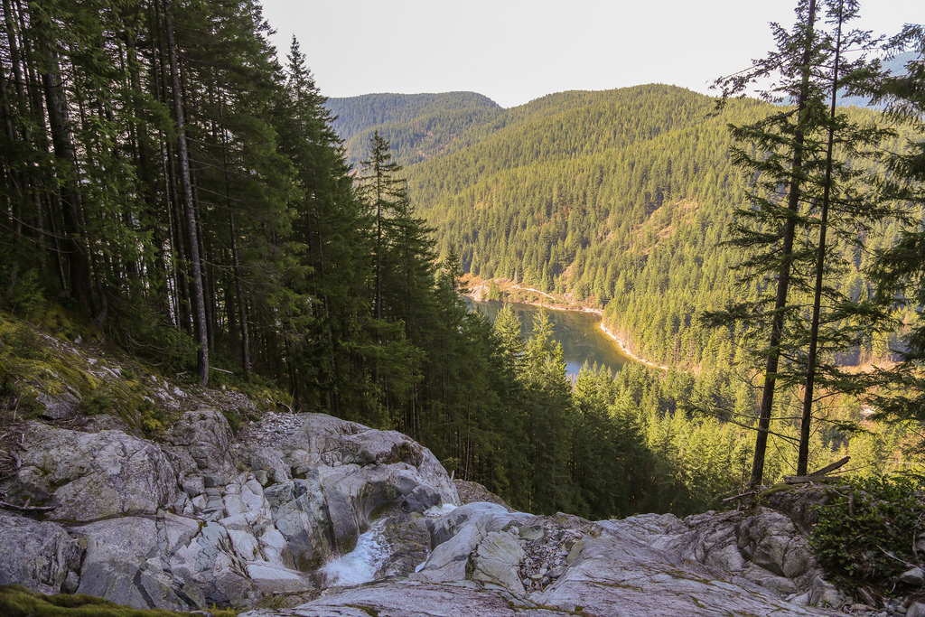
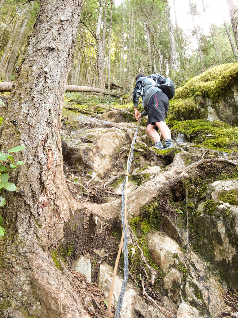
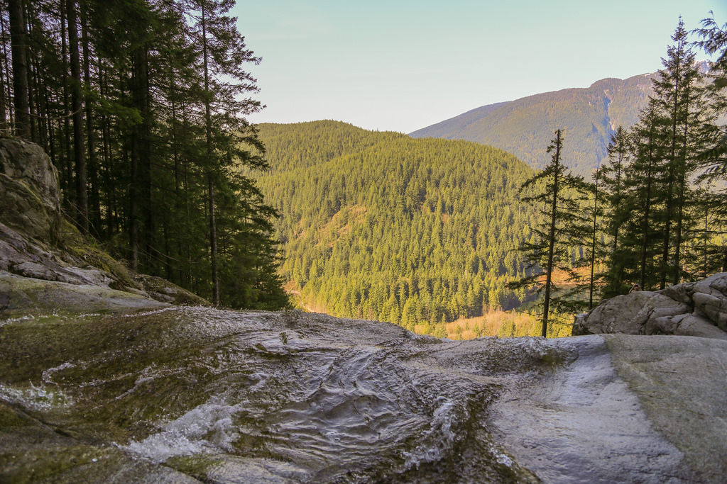
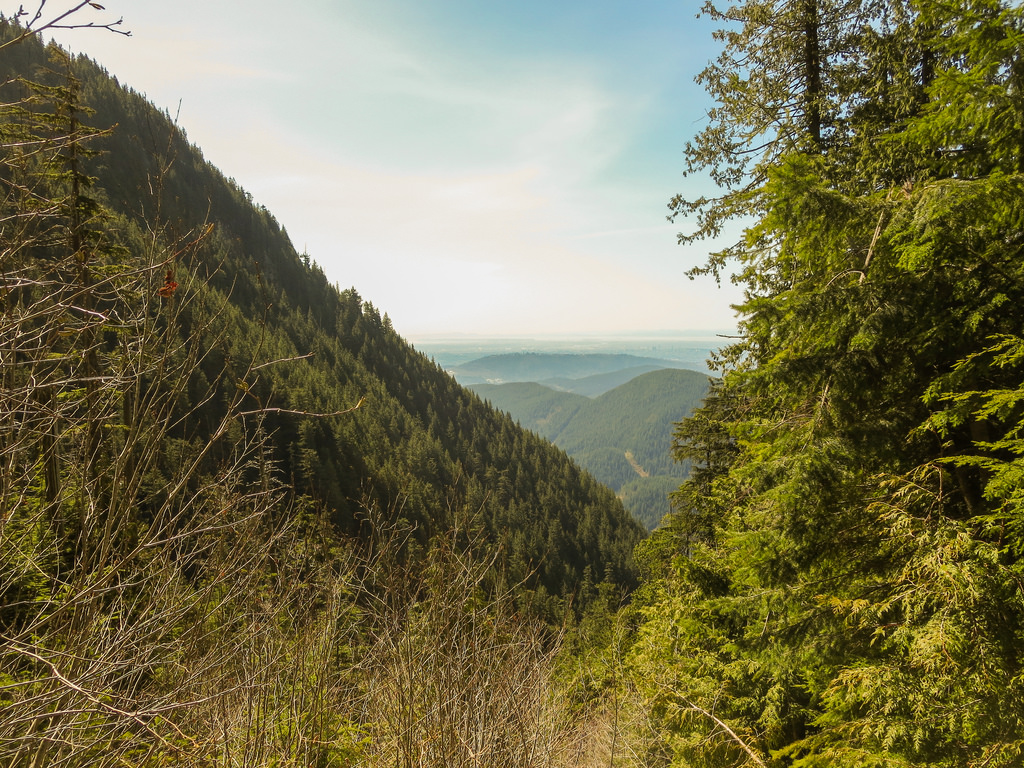
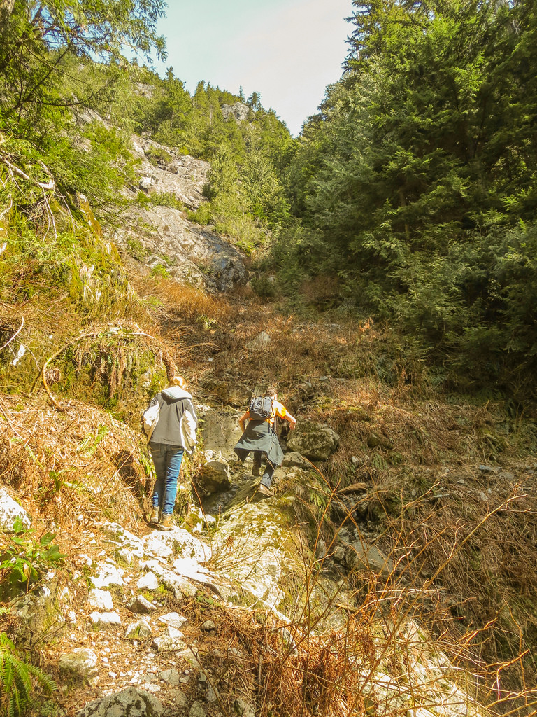
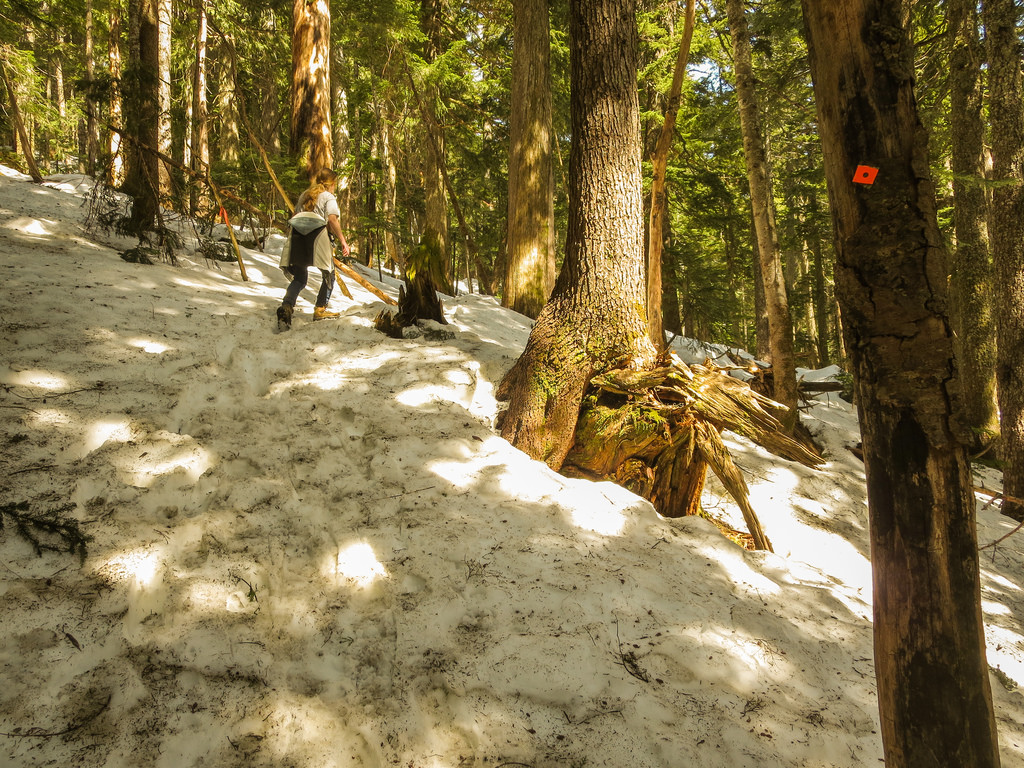
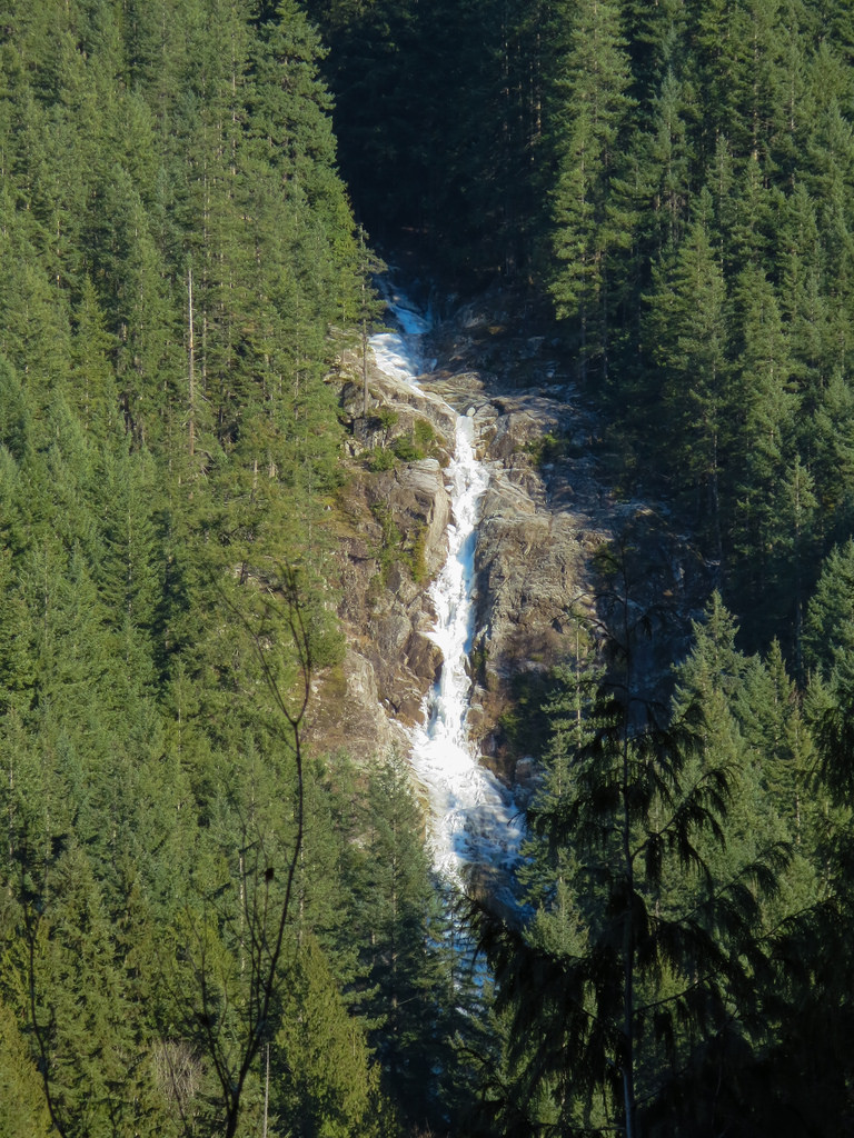
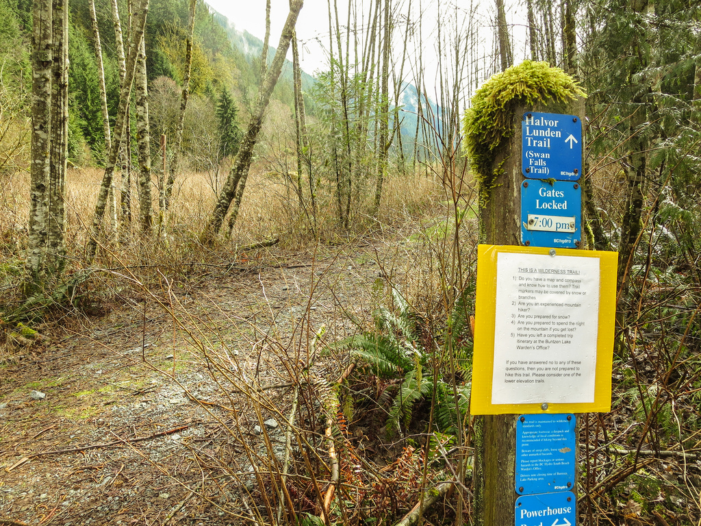
Lakeview Trail is, in my opinion, Buntzen Lake Trail’s bigger brother. This trail is an alternate route to traverse the west side of Buntzen Lake. There are more ups and downs and it’s about 1km longer than the Buntzen lake Trail. After completing Lakeview Trail, I usually take the east side of Buntzen Lake back to the parking lot. There is a great viewpoint of Swan Falls and the North Beach area near the end of the west side traverse.
The stats…
Distance: 12 km
Time: 2-4 hours
Low point: 125 m
High point: 220 m
Elevation gain: 95 m
Cumulative Elevation gain: 500 m
Trailhead: 49° 20’ 11.3” by 122° 51’ 29.7” (Google Map)
Here are the photos…
Lakeview Trail commences at the Pump House.
See location HERE (its the left route option).
Here is the route (click on ‘details’ for larger image)…
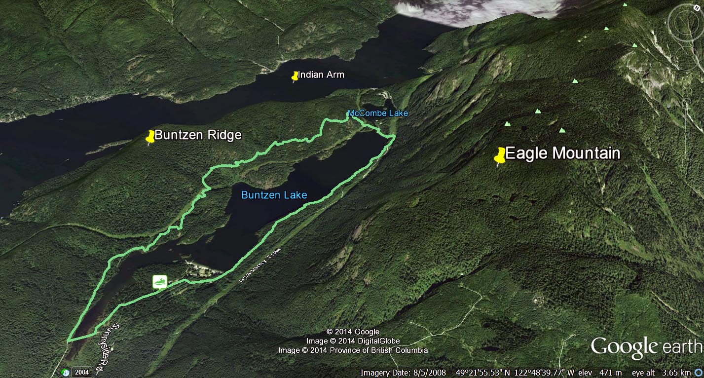
Here’s a map of the area from Google Earth (click on image for large size)…
A comparison of the Lakeview Trail / West Side of the Buntzen Lake Trail shows:
Total one-way distance from the pumphouse to the suspension bridge is 4.9 km vs. 4.1 km;
Maximum elevation gain is 150 m vs. 100 m; and
Cumulative elevation gain is 240 m vs. 130 m
The route statistics, when returning on the east side of Buntzen Lake, are:
Distance: 10.9 km
Maximum elevation gain: 150 m
Cumulative elevation gain: 340 m
Besides a more strenuous hike, Lakeview Trail is much less busy than the Buntzen Lake Trail and it is also used by bikers and horses, which I have seen very few. You’ll see more large trees (1 m diameter) and fewer large tree stumps.
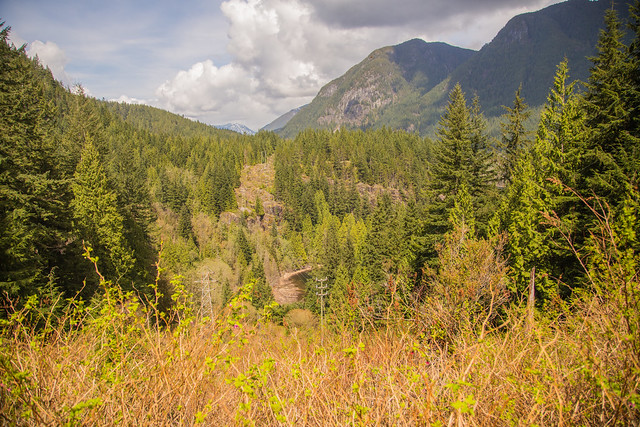
Below is a nice view you’ll see on the hike…
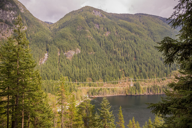
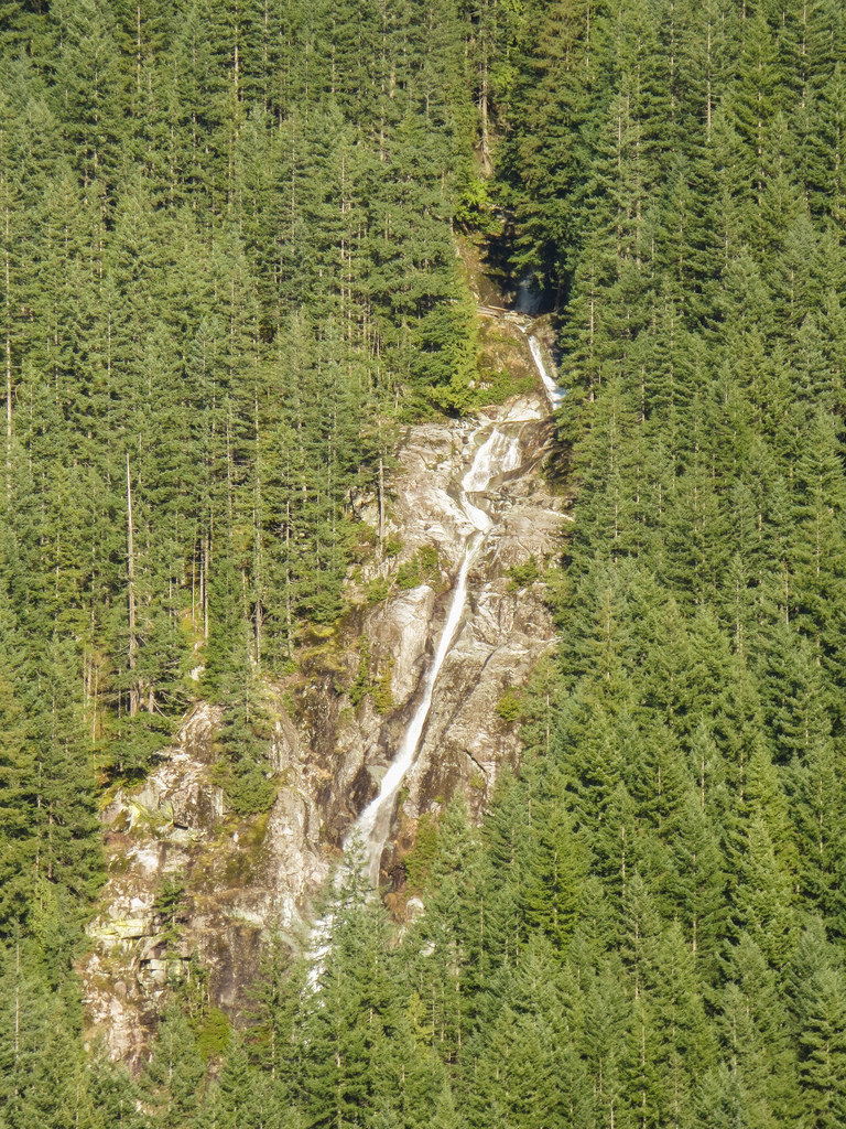
There are signs for two viewpoints, but the southern ‘viewpoint’ is obstructed by trees. The northern viewpoint is at 250 m elevation and you see a great view of North Beach, Swan Falls, the Tunnel and Eagle Mountain. See below…
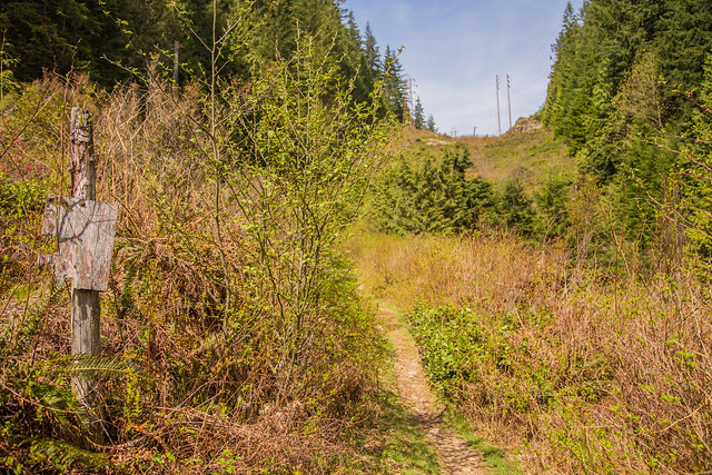
Below is a view of the Lakeview trail as it passes along the hydro right-of-way, before entering the forest again…
Here is an old Lakeview Trail sign…
This photo shows where the Lakeview Trail runs close to the Buntzen Lake Trail…
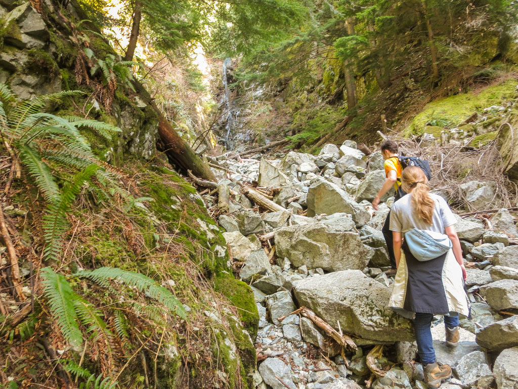
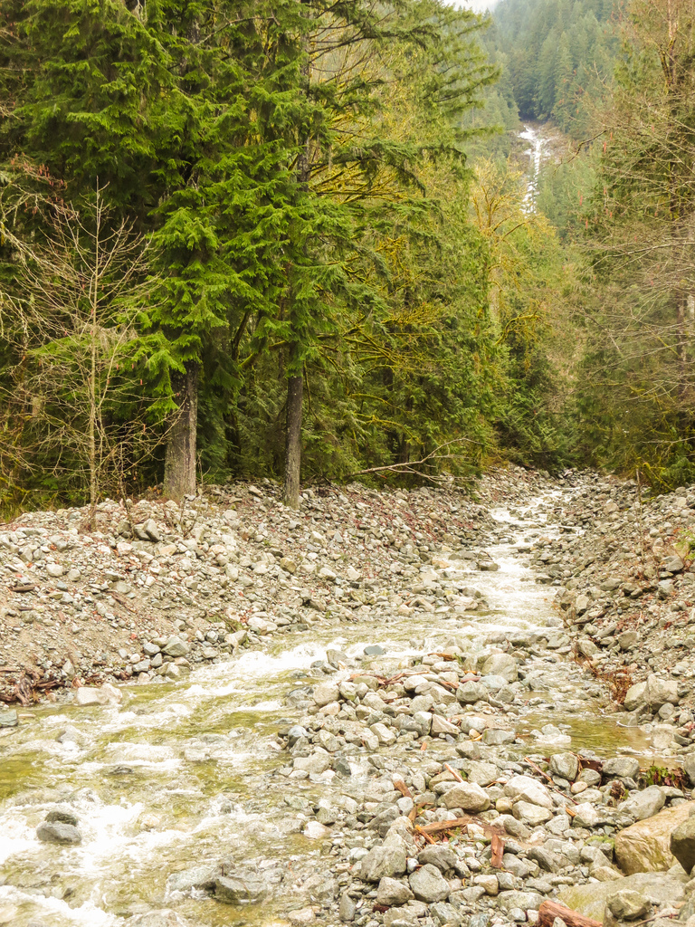
Below is a creek that flows alongside a section of the Lakeview Trail…
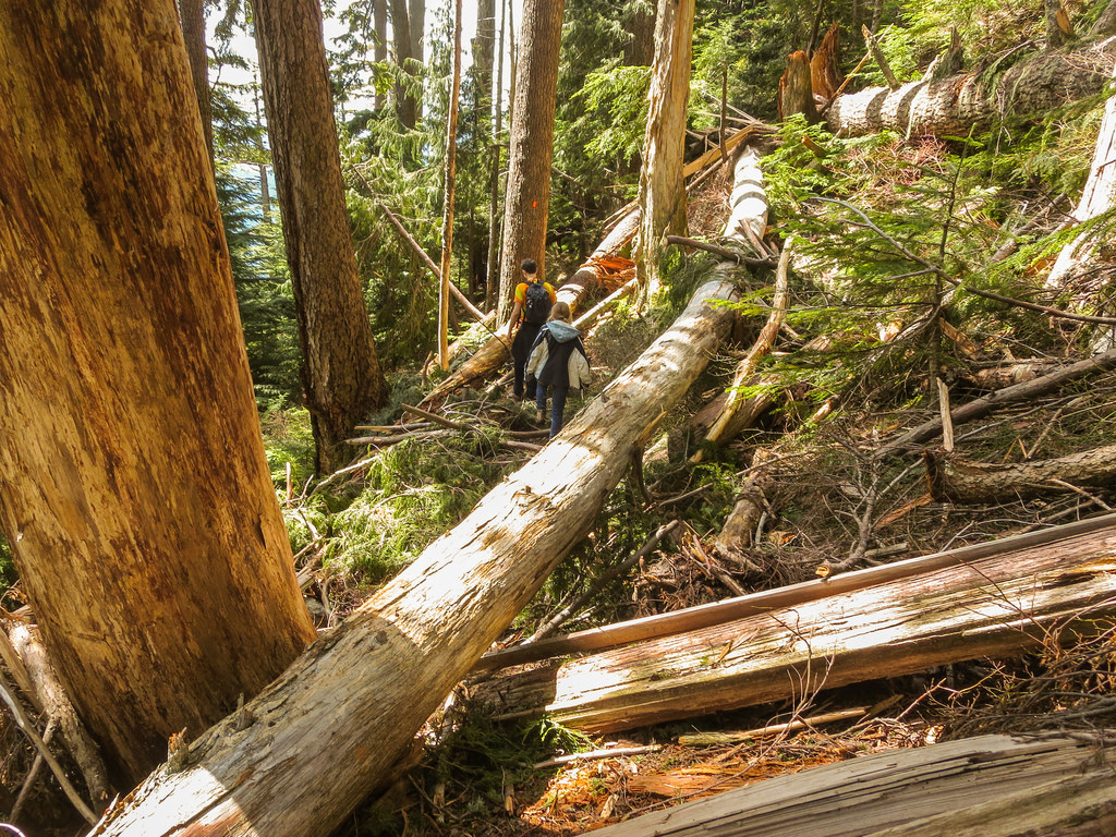
Next is a large downed tree alongside the trail…
Here are a couple more serene Lakeview Trail photos…
★★★★★★★★★★★
Before heading out on your hike, make sure you are well prepared. This means, having the TEN ESSENTIALS. It is also important to leave a trip plan (route details and estimated return time) with someone you trust.
Bring your smartphone, fully charged and put it in airplane mode while hiking. I always bring back-up battery packs for extra piece of mind. It is highly recommended that you bring a GPS device; I use my smartphone with a GPS app (Backcountry Navigator). The GPS will work in airplane mode. Learn how to use it before your hike.
For anyone new to hiking, there is a rule to which hikers follow; it is called “Leave No Trace” or LNT. The concept is generally to pack out what you pack in and respect nature, so all future visitors can enjoy what you have enjoyed.
To learn more about LNT, please check out this BLOG by a certified LNT Trainer.
