The Diez Vistas Trail is one of the classic hikes at Buntzen Lake. The name is Spanish for “ten views”, and the route climbs high onto Buntzen Ridge with views toward Indian Arm, Burrard Inlet, Buntzen Lake, Eagle Ridge, and the surrounding mountains.
The hike is considerably more demanding than the Buntzen Lake Loop. Expect a long initial climb, steep switchbacks, rocky and root-covered trail, substantial descents, and several hours in the forest between viewpoints.
Diez Vistas Trail Stats
Elevation gain: approximately 450 m
Cumulative elevation gain: approximately 720 m
Difficulty: Difficult
Route: Loop
Typical hiking time: approximately 4 to 6 hours
BC Hydro suggested time: 6 to 8 hours
Diez Vistas involves sustained climbing, steep switchbacks, long descents, uneven terrain, roots, rocks, and several hours of hiking. You should be comfortable with prolonged uphill hiking and have a reasonable level of fitness before attempting the route.
Hiking time varies considerably depending on fitness, trail conditions, rest stops, and how long you spend at the viewpoints. BC Hydro suggests allowing 6 to 8 hours, which provides a conservative margin for hikers who are unfamiliar with the route. In my experience, the hike can be completed considerably faster. My average time has been about 3 hours 30 minutes, and my fastest time was 2 hours 43 minutes, although both represent a fast pace with relatively limited stopping time. For most hikers, I think allowing approximately 4 to 6 hours is a reasonable starting point.
Fit hikers can complete the full route considerably faster than the official 6-to-8-hour estimate, but I would allow plenty of time if this is your first time on the trail or if you plan to stop at the viewpoints.
Trail access around the north end of Buntzen Lake can change because of rockslides, maintenance, and other hazards. BC Hydro currently reports no pedestrian access on Powerhouse Road between North Beach and Buntzen Dam. Hikers completing Diez Vistas should follow the current posted route using the Old Buntzen Lake Trail and other open trails. Check the BC Hydro trail information before heading out.
Diez Vistas GPS Map
The interactive map below shows one of my actual GPS recordings of the Diez Vistas route. Use the layer control in the upper-right corner to switch between the regular map and satellite imagery.
Which Direction Should You Hike?
I strongly prefer hiking Diez Vistas clockwise, beginning near the southwest end of Buntzen Lake. This puts the hardest sustained climb near the beginning of the hike, when you have the most energy, and leaves the easier return toward South Beach for later.
The first part of the route climbs steadily through the forest. After crossing beneath the powerlines and pipeline, the trail reaches a series of switchbacks. This is one of the steepest sustained sections of the hike.
The First Viewpoint
After the initial climb, the first substantial opening provides a welcome reward. This viewpoint was not one of the original numbered Diez Vistas, but it offers an excellent view toward Burrard Inlet and Indian Arm.
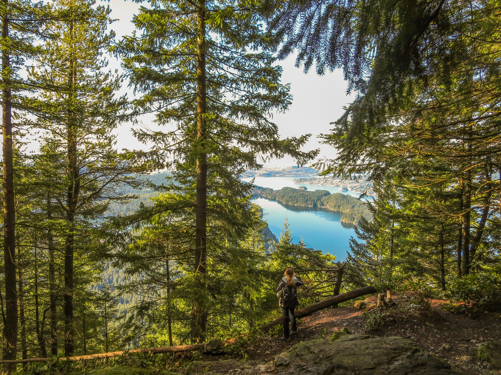
The first major viewpoint reached when hiking Diez Vistas clockwise.
The East Point Option
Near this area, hikers have historically had the option of continuing around the East Point side route or following the more direct bypass.
The East Point route includes Punta Aprecio, an unnamed viewpoint, and Punta del Este, with additional views toward Buntzen Lake and Eagle Ridge.
The exact trail junction and signage can change, so follow current trail markers rather than relying exclusively on older maps or descriptions.
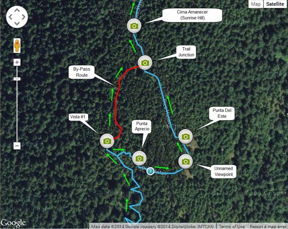
My older map showing the East Point route and bypass. Follow current onsite signage.
Several of the original vistas have become partly obscured by tree growth, while other excellent viewpoints were never part of the original numbering. See my Diez Vistas: Finding Ten Great Views article for the viewpoint history, East Point details, and my alternate vista maps.
My Favourite Diez Vistas View
About another kilometre beyond the southern junction is one of the major west-facing viewpoints. This has long been my favourite view on the hike, looking across the southern part of Indian Arm toward Bedwell Bay and the surrounding mountains.
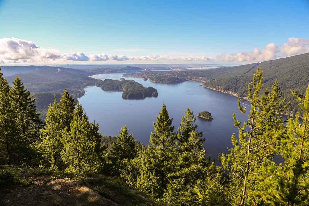
One of my favourite views from Diez Vistas, looking toward Indian Arm.
Above the Clouds
Weather can completely change the character of the viewpoints. On some days, low cloud and fog obscure almost everything. On other days, the ridge can rise above a layer of low cloud, producing views like this:
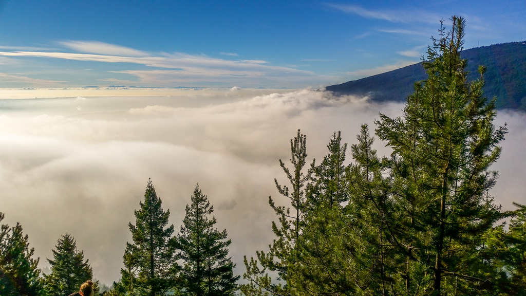
Above the low clouds on Buntzen Ridge.
A Popular Trail
Diez Vistas can be very busy on good-weather weekends, particularly at the major viewpoints where hikers tend to stop for a break.
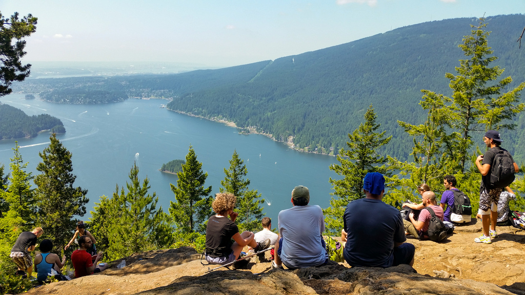
A busy viewpoint on a good-weather day.
Views Along the Ridge
The trail continues north along Buntzen Ridge, alternating between forest and viewpoints. Some openings provide broad views, while others have become increasingly screened by trees.
One of the northern viewpoints looks along Indian Arm:
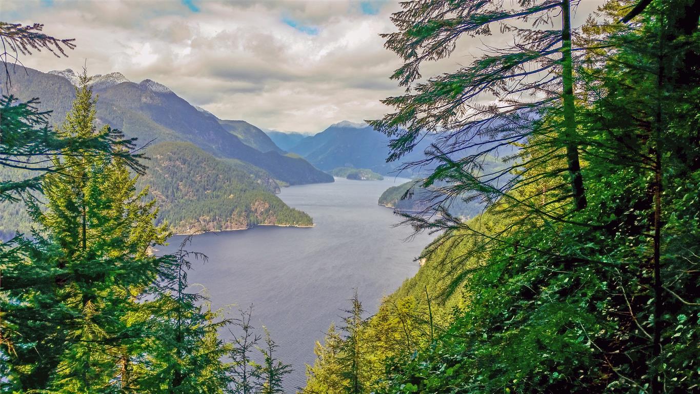
Looking north along Indian Arm from Buntzen Ridge.
What Is the Trail Like?
Much of Diez Vistas is a forest hike. Between the viewpoints, expect roots, rocks, uneven ground, short climbs and descents, and some steeper sections.
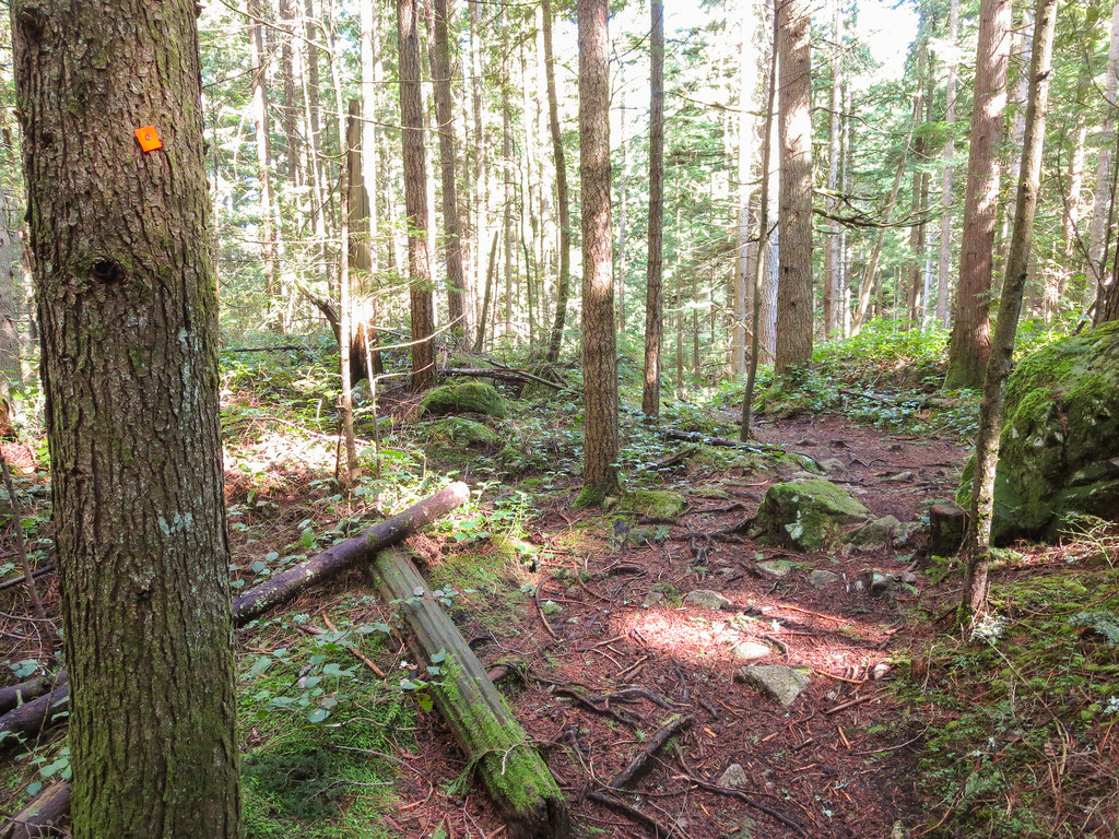
A typical forested section of the Diez Vistas Trail.
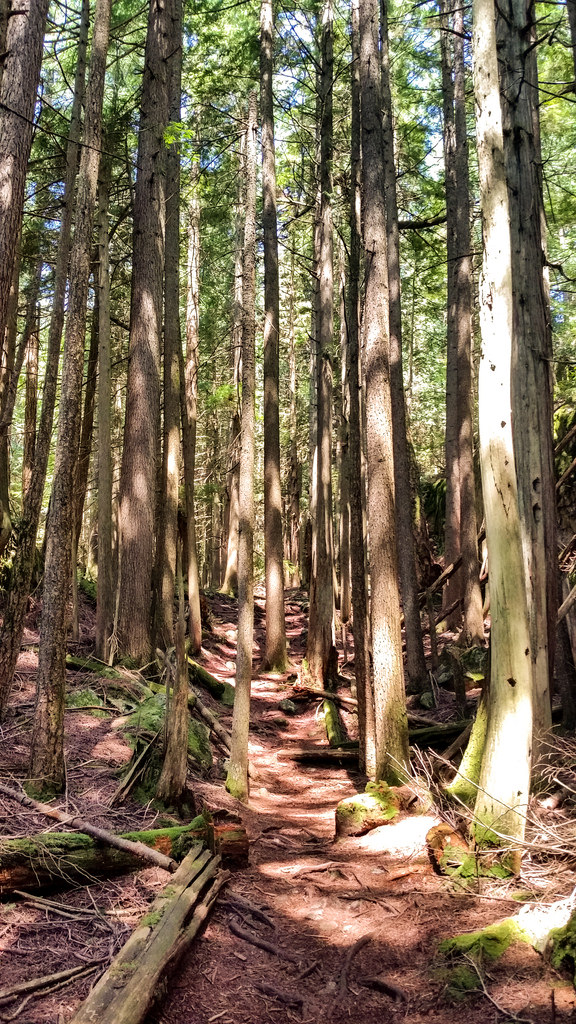
Another section of trail along Buntzen Ridge.
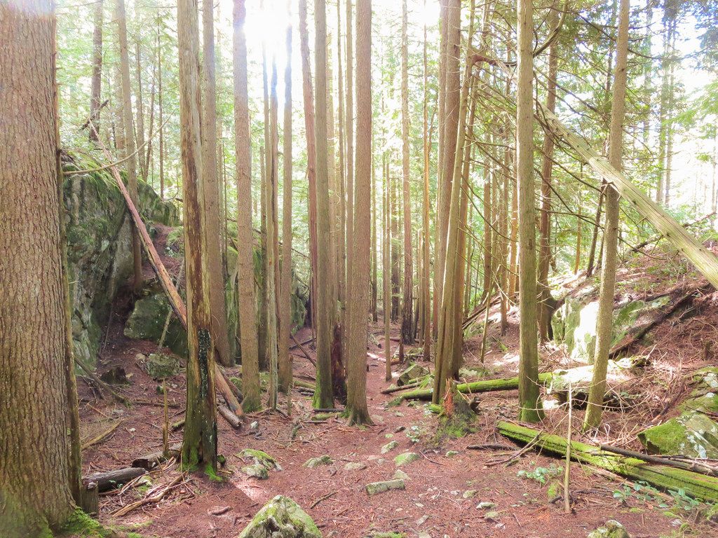
Forest trail on Diez Vistas.
Some Vistas Change Over Time
The name may promise ten views, but the forest does not remain static. Some original vistas that were once open have become increasingly obstructed as trees and other vegetation have grown.
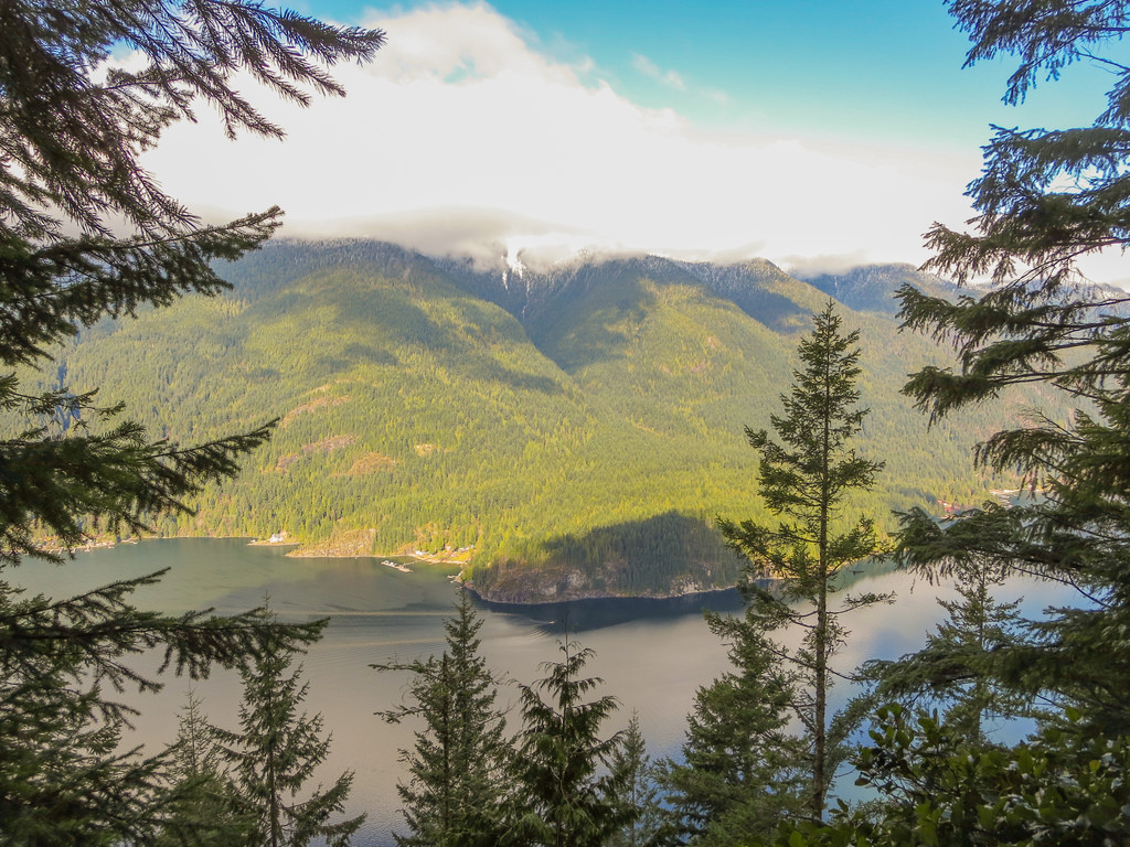
One of the viewpoints along the ridge.
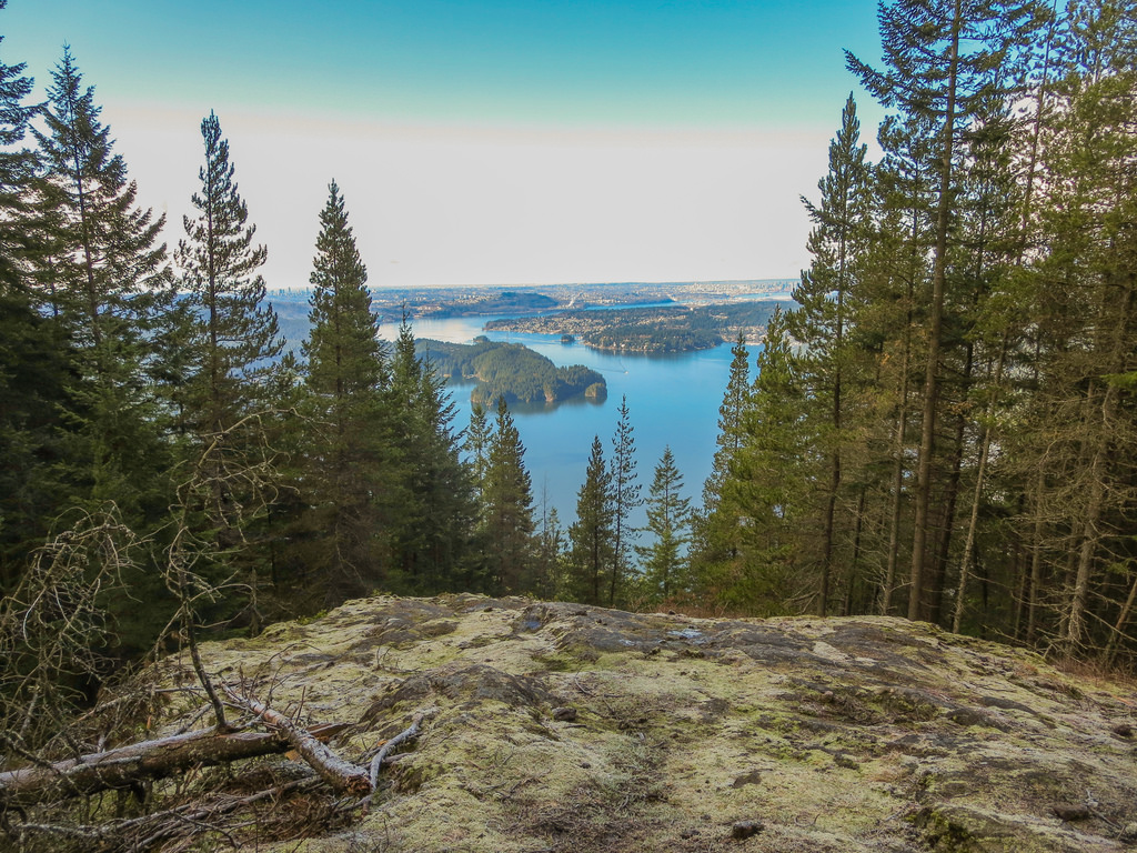
Another Diez Vistas viewpoint where vegetation affects the view.
The Northern Descent
Eventually the ridge walking gives way to a substantial descent through the forest. After the first major descent, the trail reaches wider sections that resemble old forestry or service roads before continuing toward BC Hydro infrastructure at the north end of the route.
Follow the current trail markers carefully through this area. The route and available connections can change because of maintenance, rockslides, vegetation, and other conditions.
Old Buntzen Lake Trail and Swan Falls
The northern part of the route connects with the Old Buntzen Lake Trail, which passes near McCombe Lake before eventually reconnecting with trails leading back toward Buntzen Lake.
This area also provides access to several seasonal waterfalls on the steep slopes above the lake, including Swan Falls.
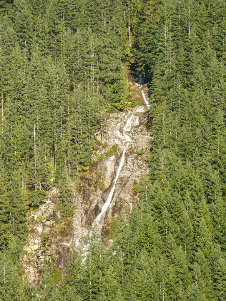
Swan Falls near the north end of the Diez Vistas route.
Returning to South Beach
The route eventually reconnects with the Buntzen Lake trail system for the return toward South Beach. The final portion is much easier than the initial climb onto Buntzen Ridge, which is another reason I prefer doing the hike clockwise.
Because trail connections around North Beach and Powerhouse Road can change, follow current BC Hydro signage rather than relying solely on an older route description.
Before You Go
Diez Vistas is a substantial day hike. Bring suitable footwear, adequate water and food, a fully charged phone, and enough time to complete the route before the Buntzen Lake gate closes. Cell coverage can be unreliable in parts of the area, so downloading an offline map before starting is useful.
Dogs are permitted on the trails but must be leashed except in designated off-leash areas.
If you are driving during the seasonal reservation period, check the current Buntzen Lake parking information before leaving home.
For the full story behind the trail’s confusing viewpoint numbering, see my Diez Vistas: Finding Ten Great Views article.
Trail conditions, viewpoints, closures, and access can change due to weather, vegetation, maintenance, and other factors. Before heading out, check BC Hydro for current trail closures and major access advisories.