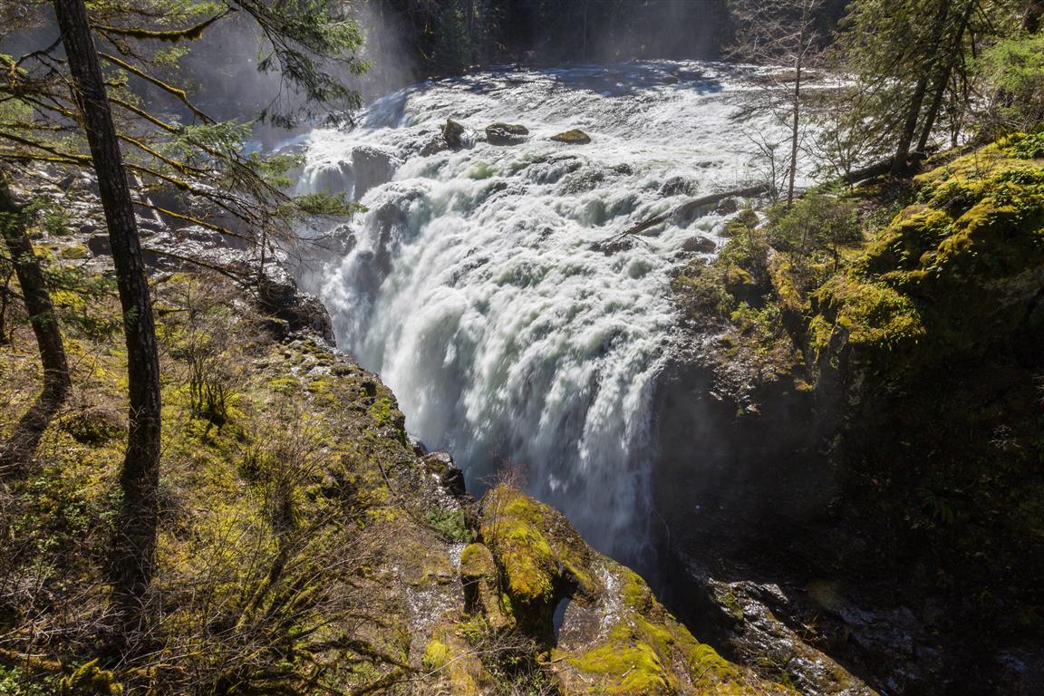
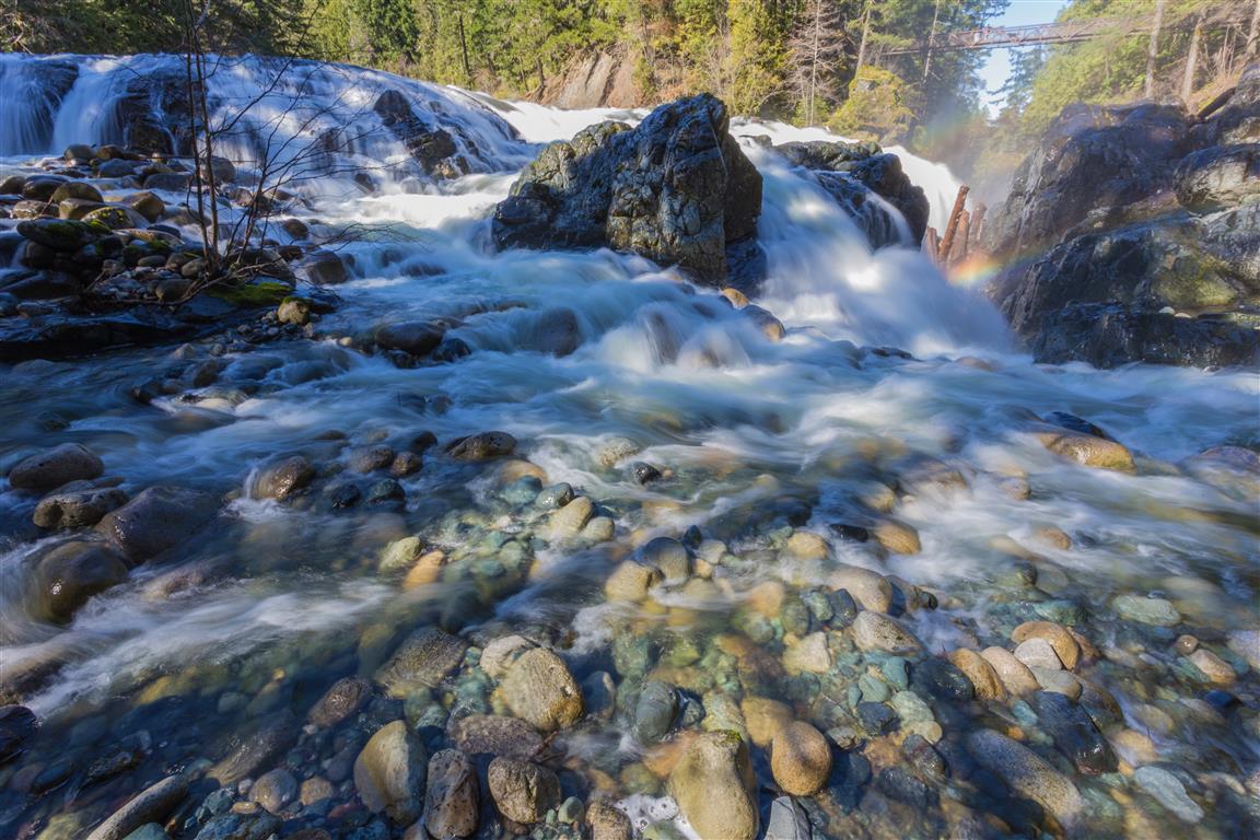
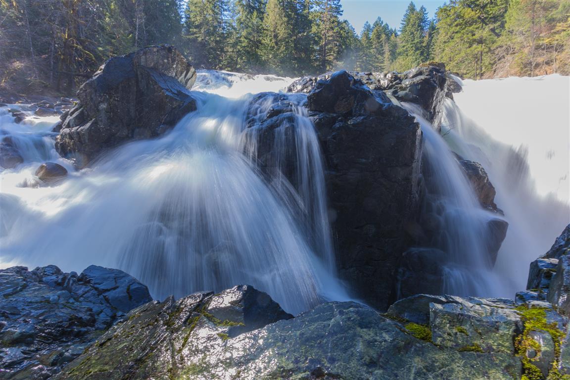
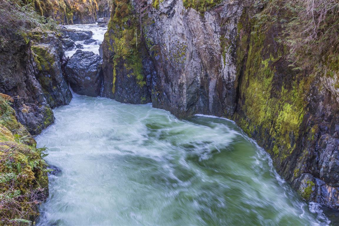
Englishman River Falls Provincial Park is located less than 14 km from the City of Parksville on Vancouver Island. There are a number of hiking trails in the park — I took a fairly short loop today. The highlight of the hike is seeing the waterfall from a little bridge. It was sunny today, and that is not ideal for taking waterfall pictures. I will have to come back on a cloudy day!
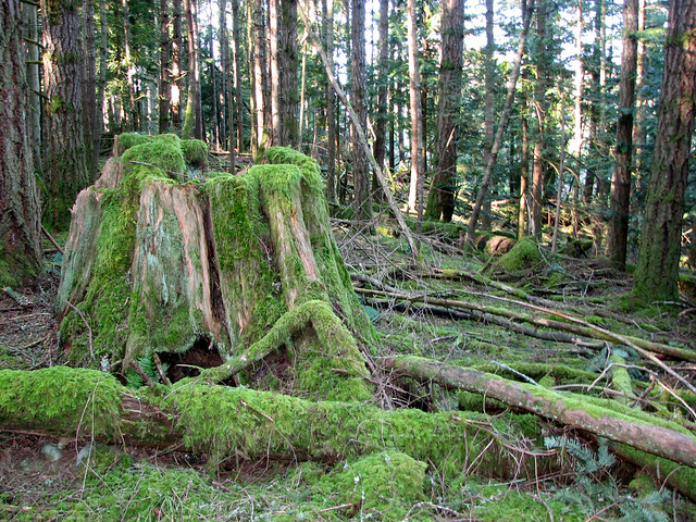
The park was established on December 20, 1940, to protect the old-growth Douglas fir forest and the surrounding ecosystem near the falls. It covers about 97 ha
According to local legend, the river’s name comes from the discovery of the skeleton of a Caucasian man near the falls by Indigenous people in the area, which is how it came to be called the Englishman River
The Englishman River runs about 40 km from the slopes of Mount Arrowsmith and Mount Moriarty before entering the Strait of Georgia at Parksville. It’s an important salmon habitat, and a dammed reservoir upstream supplies drinking water to Parksville
The park has both an upper and a lower falls. Swimming is allowed in the river below the lower falls, though fishing is not permitted anywhere in the park
Trail Stats
Distance for my loop: 2 km (return)
Time: less than 1 hour
Low point: 142 m
High point: 180 m
Elevation gain: 38 m
The Route
The actual GPS track from this walk, drawn on the map below. Green marks the start/end point.
Photos
Englishman River Falls
Conditions on this trail can change over time — trailheads move, access rules shift, and businesses close. This post reflects what I found when I did the walk.
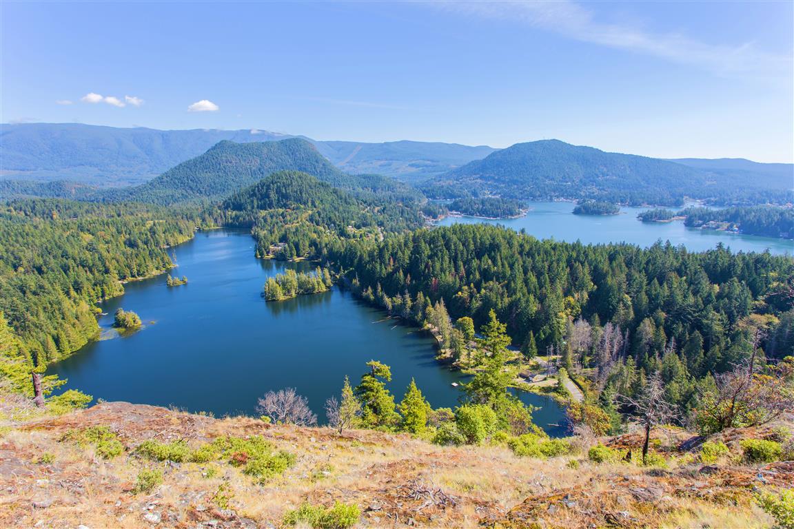
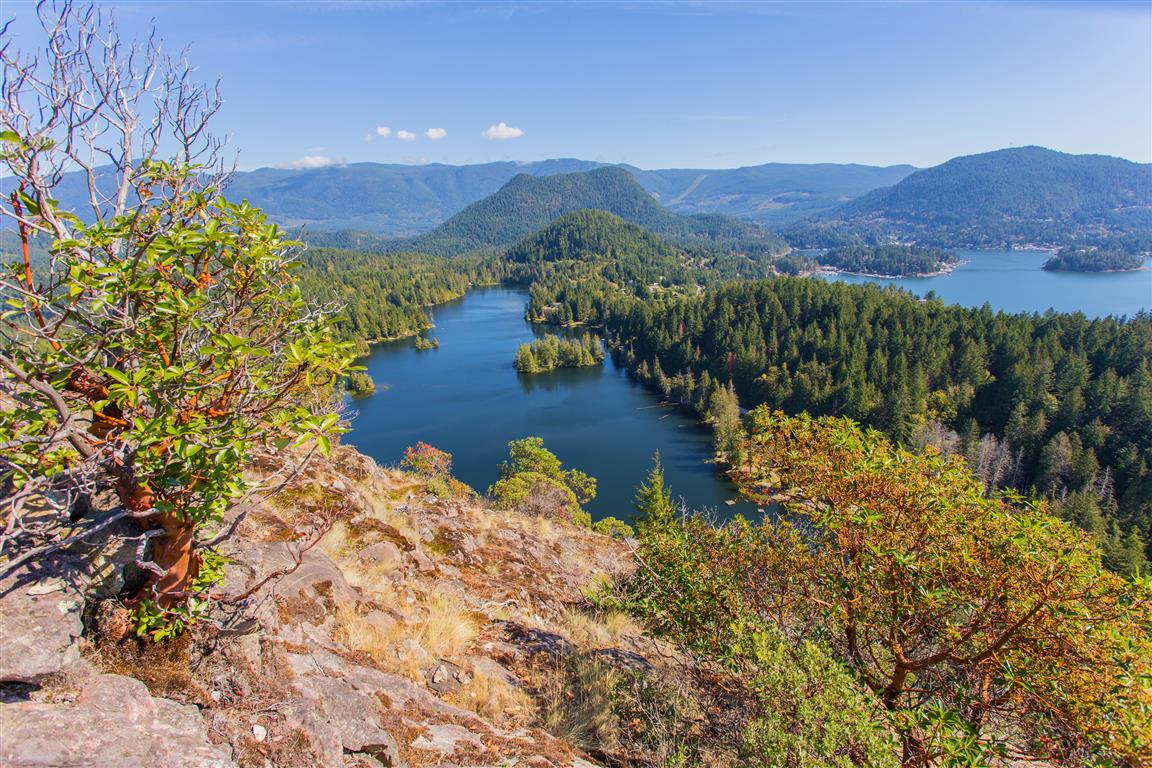
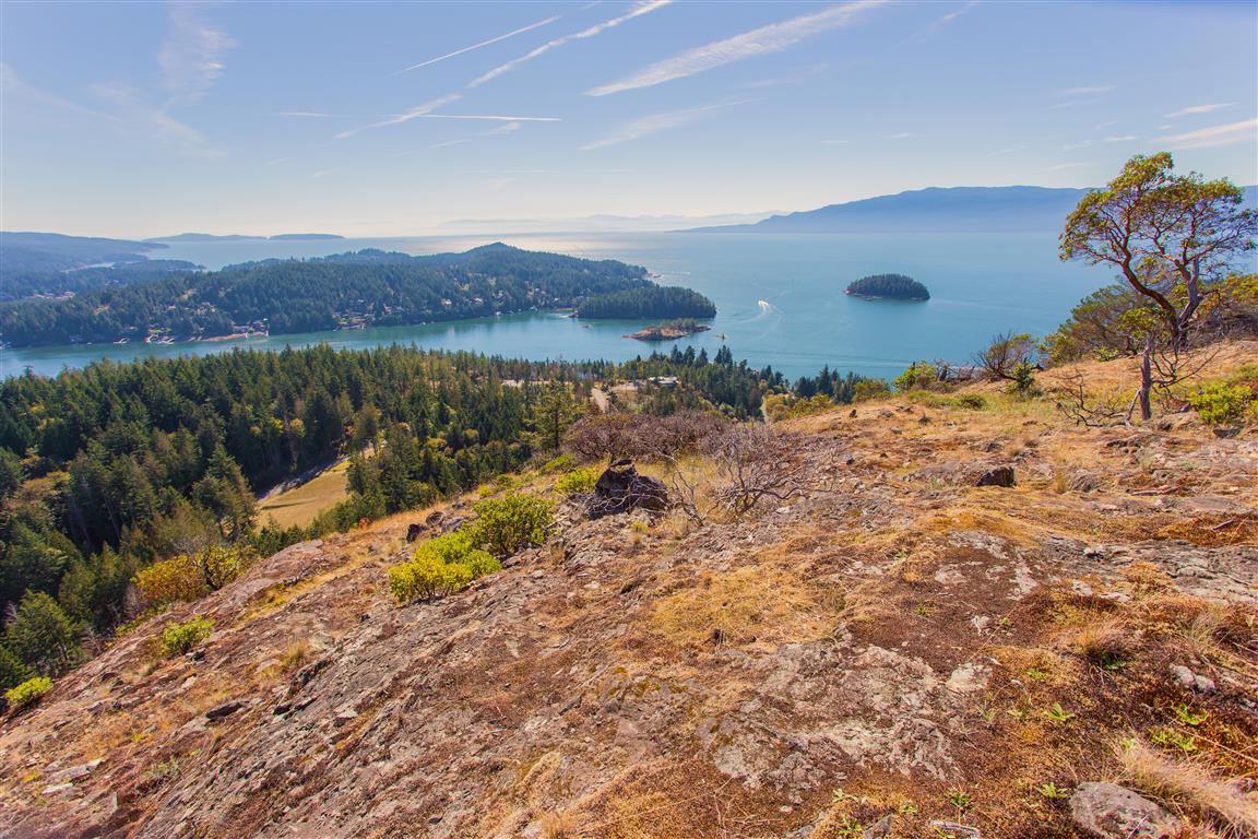
Pender Hill is on the Sunshine Coast of BC. The trail is maintained by the Sunshine Coast Regional District. This hike is fairly short compared to many in this blog, but you still get fantastic views, and it is well worth it. If you want more of a workout for your day, combine this hike and Mt. Daniel together. The Mt. Daniel trailhead is only 6 km from the Pender Hill trailhead.
To get to Pender Hill from Vancouver, you need to take the 1-hour BC Ferry trip from Horseshoe Bay in West Vancouver to Langdale. From Langdale, there is a 73 km trip to the trailhead on Coastview Drive.
Interesting Facts
Pender Hill, along with Pender Harbour and the Pender Islands further south, is named after Daniel Pender, a Royal Navy hydrographer who surveyed the BC coast between 1857 and 1870
Nearby Mt. Daniel is also named for Daniel Pender. The Sechelt First Nation name for the mountain is Shélkém
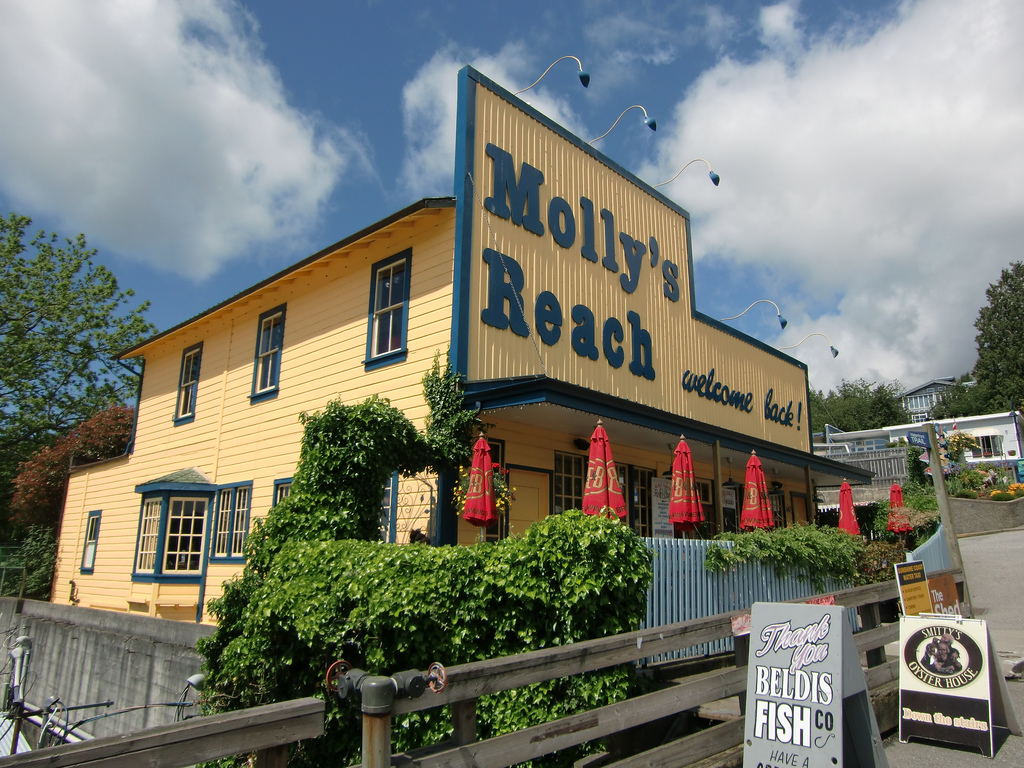
Molly’s Reach, the restaurant in Gibsons mentioned below, was the fictional diner featured in The Beachcombers, a CBC drama filmed in Gibsons that ran from 1972 to 1990, making it one of the longest-running series in Canadian television history
Trail Stats
Distance: 2 km (linear return)
Time: 1 to 2 hours
Low point: 57 m
High point: 235 m
Elevation gain: 178 m
The Route
The actual GPS track from this hike, drawn on the map below. Green marks the start/end point. Use the layer control in the top right to switch to a satellite view.
Photos
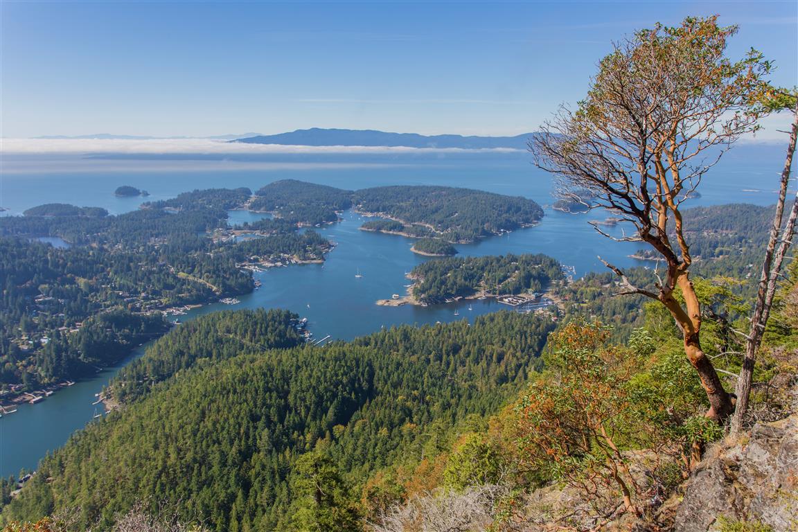
View from Pender Hill
View from Pender Hill
View from Pender Hill
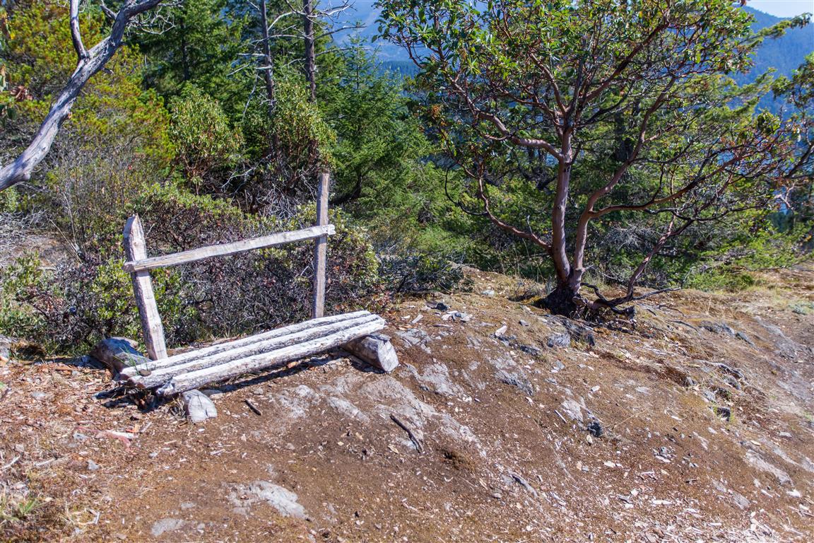
Bench at the top
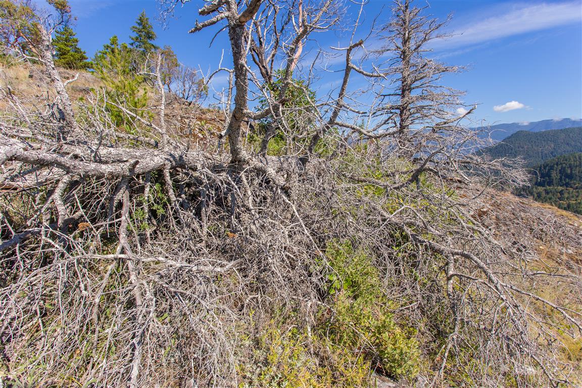
Dead tree
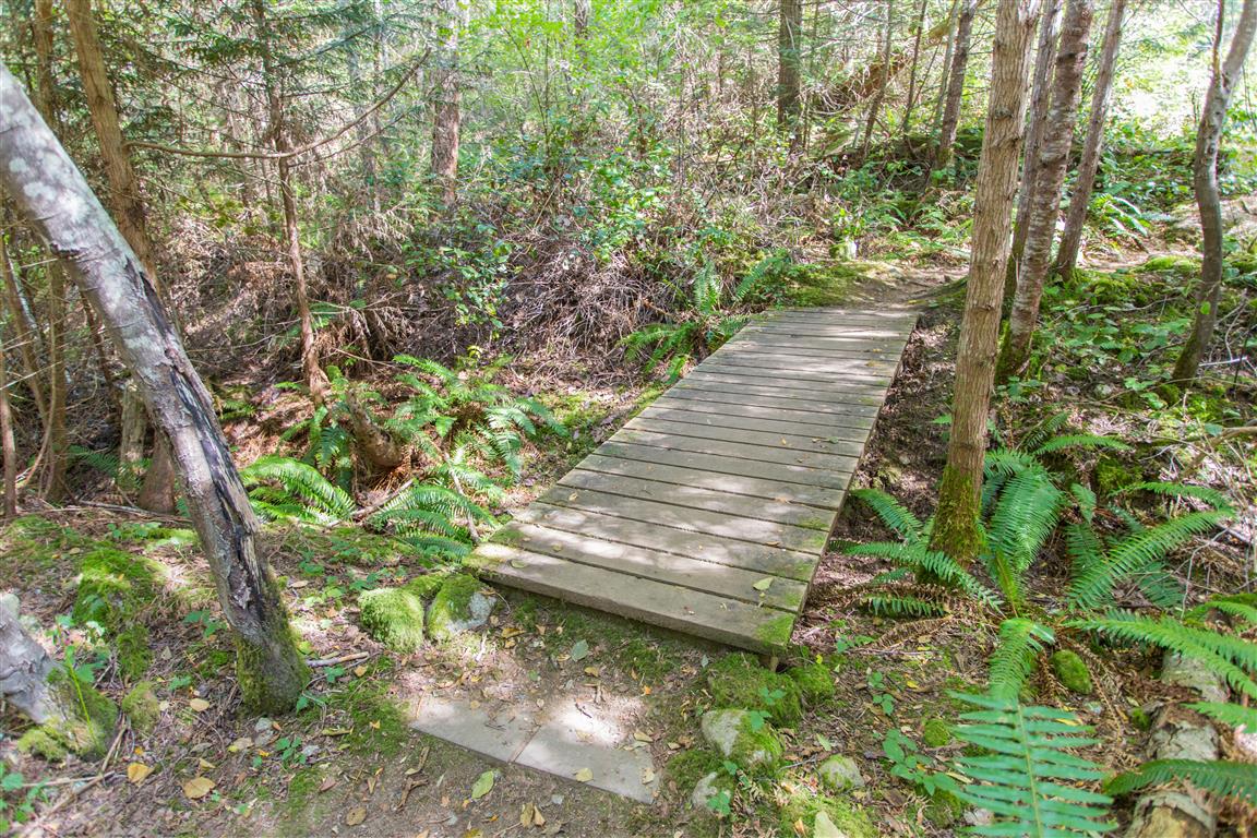
Little bridge
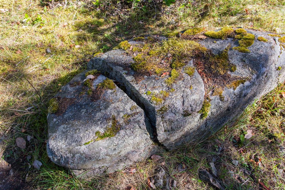
Broken rock
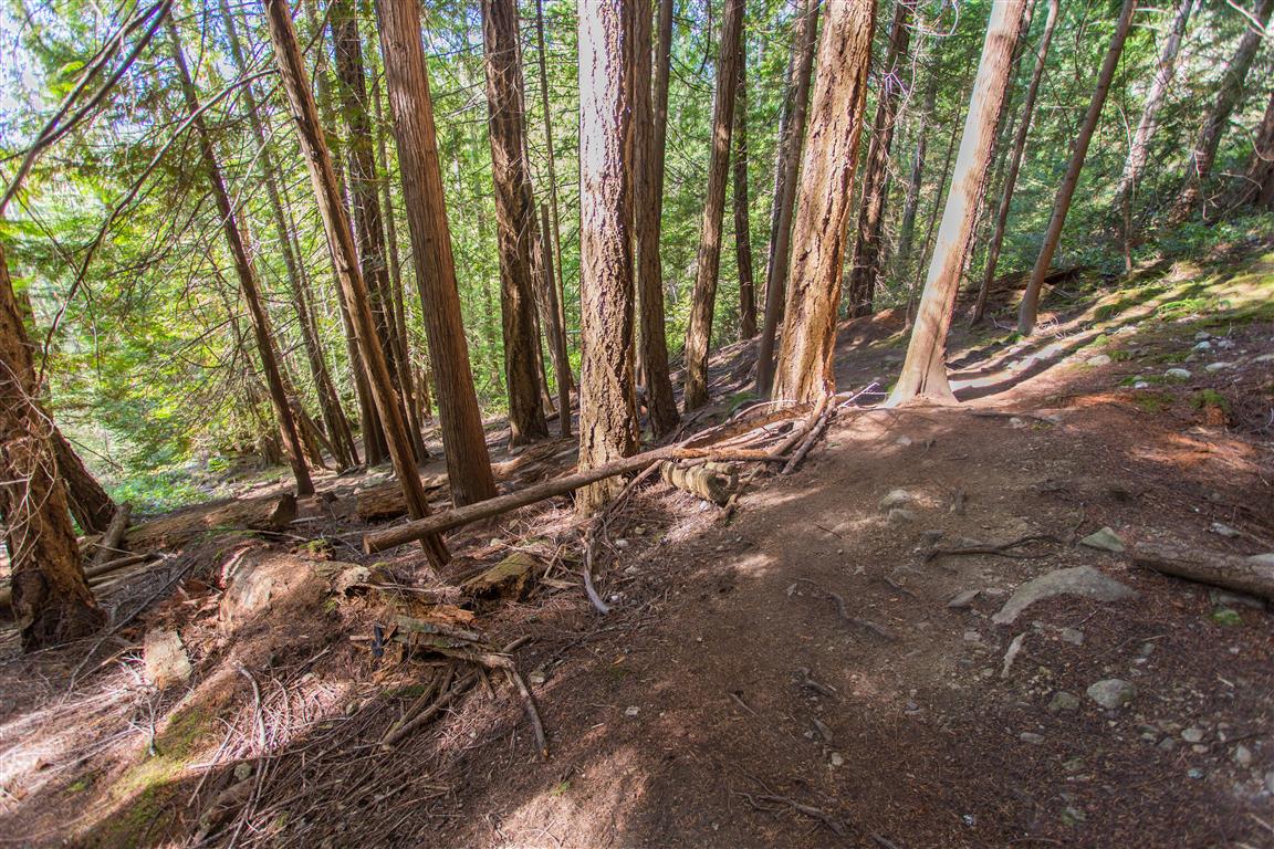
Trail
Trail
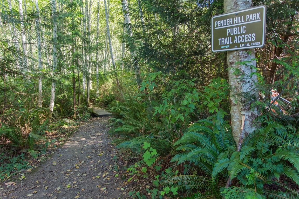
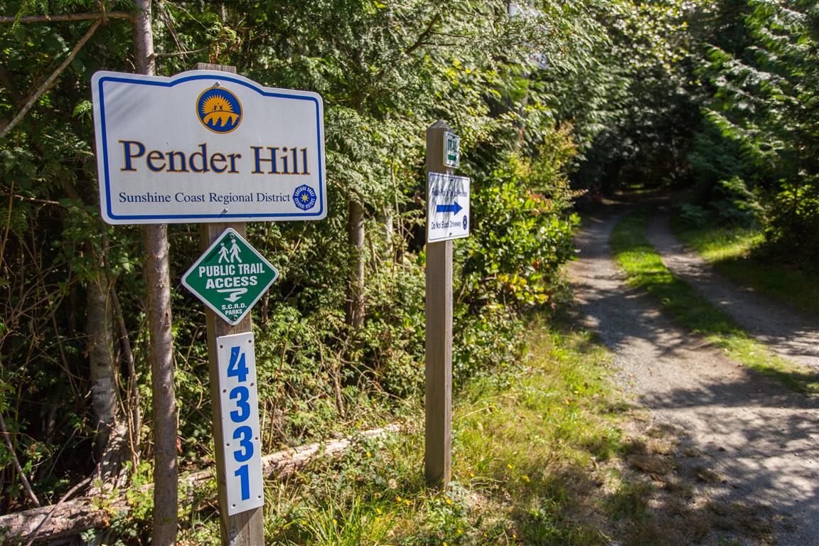
Trailhead sign
While You’re in the Area
If you have time, stop in Gibsons. It’s a quaint little town, and worth a stop at Molly’s Reach (of Beachcombers fame) for fish and chips!
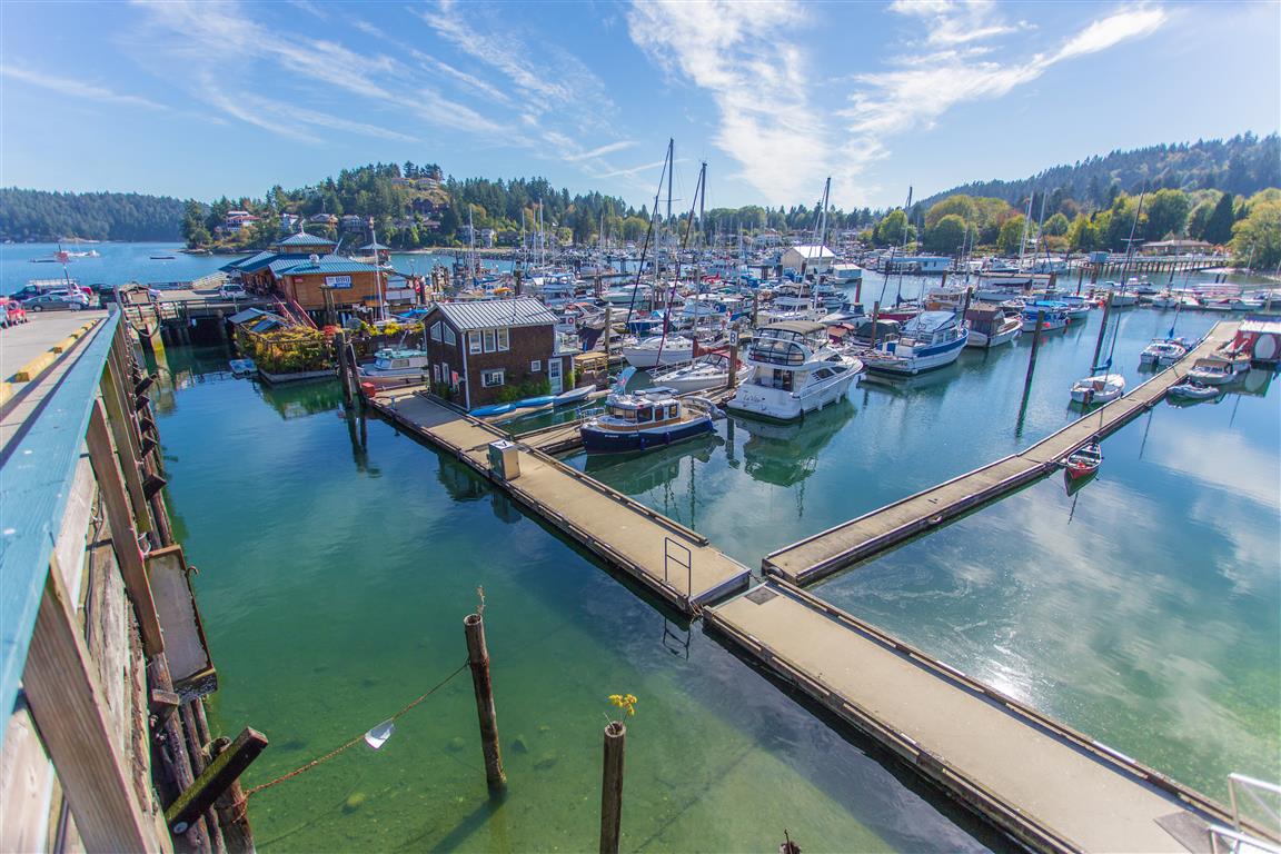
Gibsons Harbour
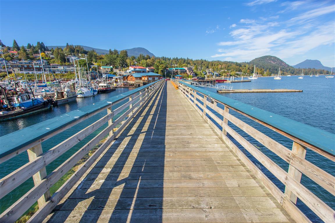
Gibsons Wharf
Molly’s Reach, Gibsons
Conditions on this trail can change over time — trailheads move, access rules shift, and businesses close. This post reflects what I found when I did the hike.
Before You Hike
Before heading out on your hike, make sure you are well prepared. This means having the TEN ESSENTIALS. It is also important to leave a trip plan (route details and estimated return time) with someone you trust.
Bring your smartphone, fully charged, and put it in airplane mode while hiking. I always bring backup battery packs for extra peace of mind. It is highly recommended that you bring a GPS device. I use my smartphone with a GPS app (Backcountry Navigator). The GPS will work in airplane mode. Learn how to use it before your hike.
For anyone new to hiking, there is a rule that hikers follow called “Leave No Trace” or LNT. The concept is generally to pack out what you pack in and respect nature, so all future visitors can enjoy what you have enjoyed. To learn more about LNT, please check out this blog by a certified LNT Trainer.
Mt. Daniel is on the beautiful Sunshine Coast. After the 400 m elevation gain hike to the summit, you are treated with stunning views of Pender Harbour and the surrounding hills and mountains. The hike traverses through a forest canopy all the way to the top, so it’s great on a hot day.
After this hike, I highly suggest you do another nearby hike, at Pender Hill. The Pender Hill trailhead is only 6 km from the Mt. Daniel trailhead.
To get to Mt. Daniel from Vancouver, you need to take the 1-hour BC Ferry trip from Horseshoe Bay in West Vancouver to Langdale. From Langdale, there is a 67 km trip to the trailhead on Garden Bay Road.
Interesting Facts
Like Pender Hill, Mt. Daniel is named after Daniel Pender, the Royal Navy hydrographer who surveyed this coast in the 1800s. Its Sechelt First Nation name is Shélkém
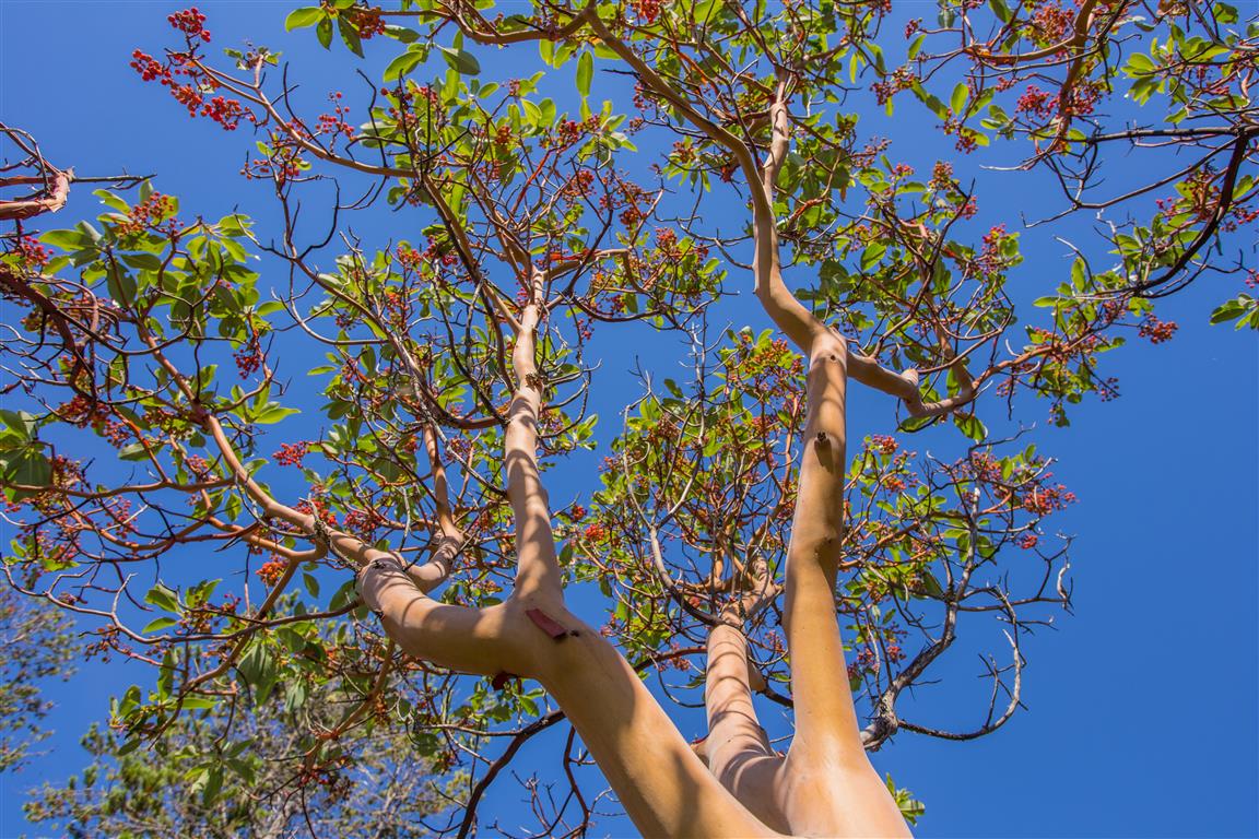
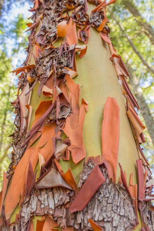
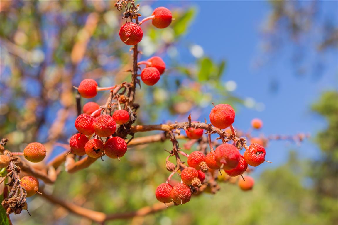
The arbutus trees you’ll see along this trail are Canada’s only native broadleaf evergreen tree, found almost exclusively near the coast of southern BC and on Vancouver Island. Their bark peels away every year in papery red-brown flakes, revealing fresh green bark underneath that can actually photosynthesize on its own
Arbutus wood is typically twisted and gnarled, so it’s rarely used for lumber, but its berries are an important food source for birds, and its flowers attract bees and hummingbirds
Trail Stats
Distance: 4.8 km (linear return)
Time: 2 to 4 hours
Low point: 77 m
High point: 435 m
Elevation gain: 358 m
The Route
The actual GPS track from this hike, drawn on the map below. Green marks the start/end point. Use the layer control in the top right to switch to a satellite view.
Photos
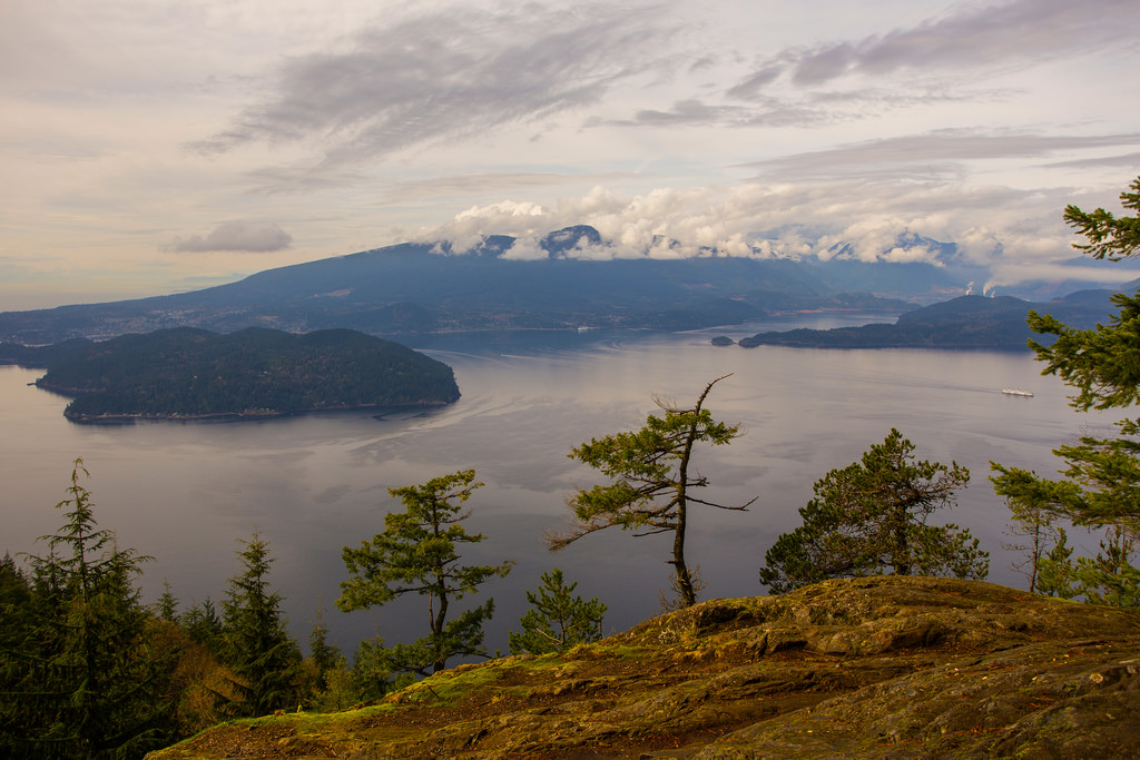
View from Mt. Daniel
Arbutus tree
Arbutus tree bark
Arbutus tree berries
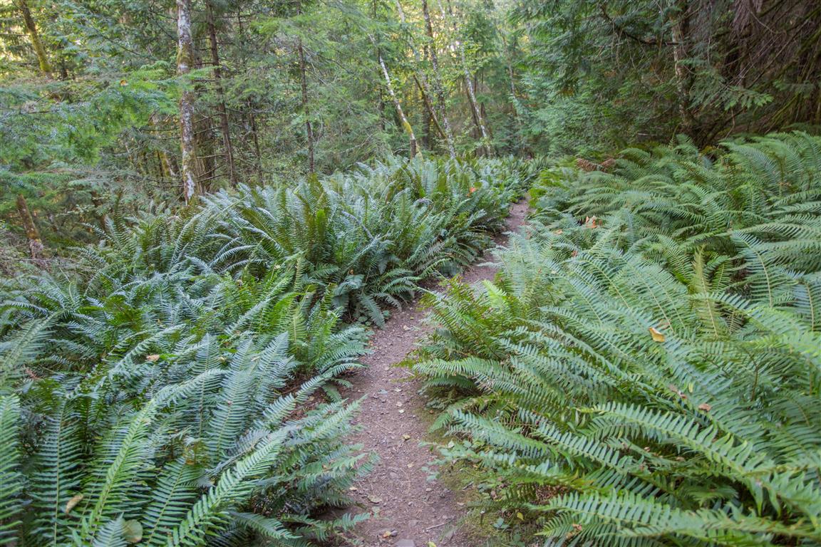
Ferns
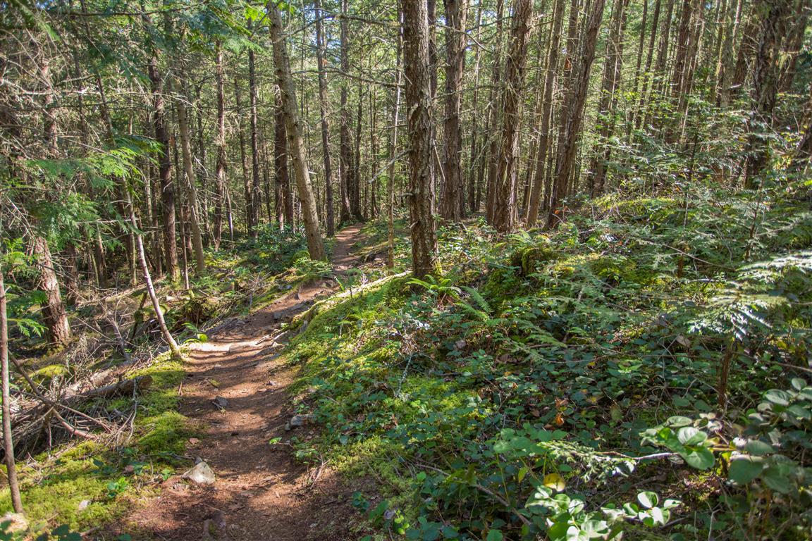
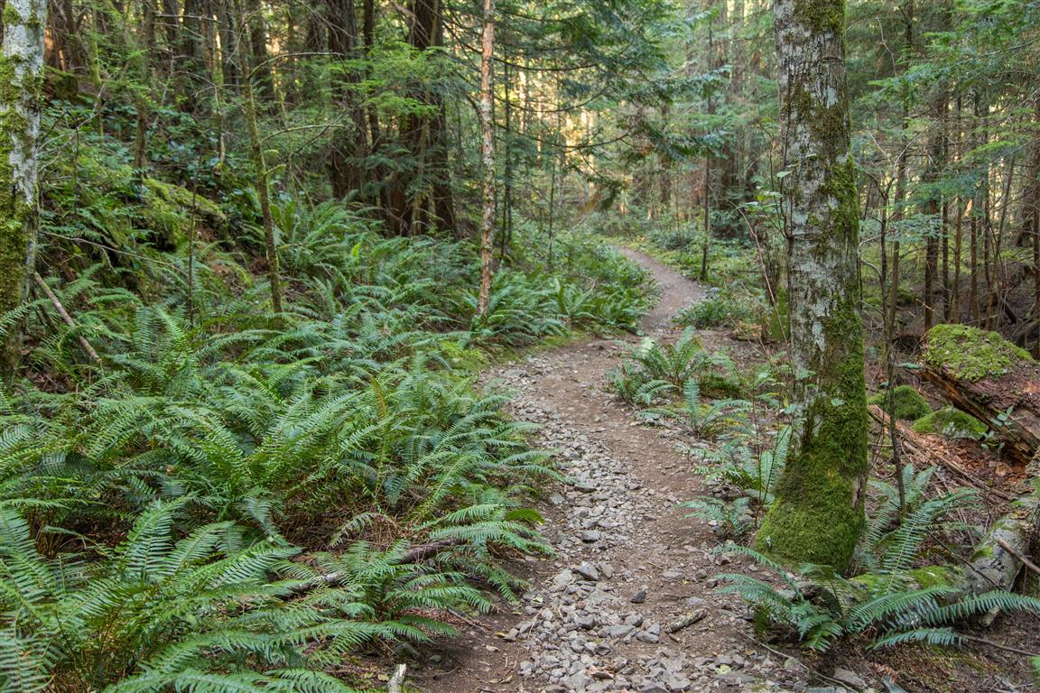
Trail
Trail
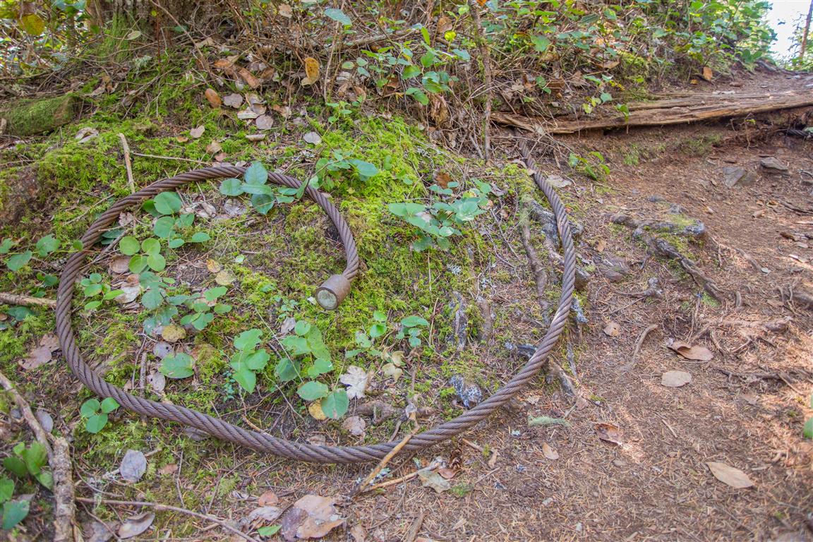
Logging relic
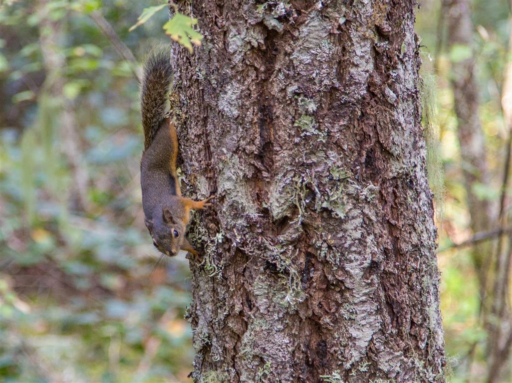
Visitor
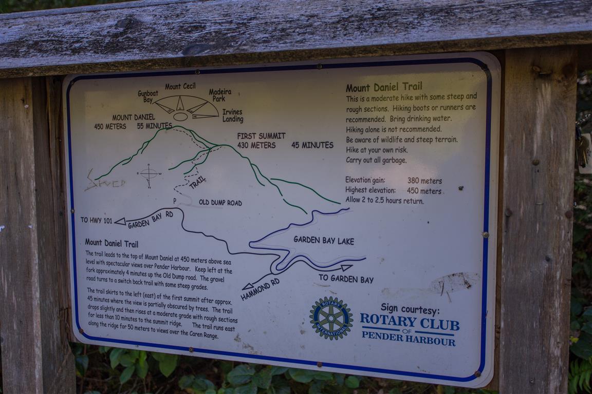
Sign at trailhead
While You’re in the Area
If you have time, stop in Gibsons. It’s a quaint little town, and worth a stop at Molly’s Reach (of Beachcombers fame) for fish and chips!
Gibsons Harbour
Gibsons Wharf
Molly’s Reach, Gibsons
Conditions on this trail can change over time — trailheads move, access rules shift, and businesses close. This post reflects what I found when I did the hike.
Before You Hike
Before heading out on your hike, make sure you are well prepared. This means having the TEN ESSENTIALS. It is also important to leave a trip plan (route details and estimated return time) with someone you trust.
Bring your smartphone, fully charged, and put it in airplane mode while hiking. I always bring backup battery packs for extra peace of mind. It is highly recommended that you bring a GPS device. I use my smartphone with a GPS app (Backcountry Navigator). The GPS will work in airplane mode. Learn how to use it before your hike.
For anyone new to hiking, there is a rule that hikers follow called “Leave No Trace” or LNT. The concept is generally to pack out what you pack in and respect nature, so all future visitors can enjoy what you have enjoyed. To learn more about LNT, please check out this blog by a certified LNT Trainer.
Mount Gardner is the highest mountain on Bowen Island and offers a substantial forest hike with steep climbing, quiet trails, summit infrastructure, and potential views over Howe Sound and the surrounding Coast Mountains.
My recorded route begins at the Hiker’s Trail Road trailhead and follows a combination of gravel road and forest trails toward the summit. Much of the hike is peaceful and heavily forested, with small streams, birds, and very little development until the upper mountain.
Route-finding deserves attention on Mount Gardner.
There are numerous old roads, side trails, and intersections on the mountain. Carry reliable navigation, follow established trail markers, and do not assume that every visible trail leads toward the summit.
Trail Stats
These statistics are based on my recorded GPS track, starting and finishing at the original Hiker’s Trail Road trailhead. The walking approach from Killarney Lake parking is not included.
Distance: approximately 8.7 km return
Low point: approximately 132 m
High point: approximately 726 m
Net elevation gain: approximately 594 m
Cumulative elevation gain: approximately 600 m
Difficulty: Moderate to challenging
Route: Loop-style route with an out-and-back summit section
If arriving on Bowen Island without a vehicle, the hike can also be approached from Snug Cove, although this adds additional walking and elevation gain before reaching the main trailhead.
Getting There
Mount Gardner is reached from Bowen Island, with ferry service between Horseshoe Bay and Snug Cove. From Snug Cove, Mount Gardner Road leads toward Killarney Lake and the Hiker’s Trail Road access area. Use the driving directions button near the beginning of this article for the Killarney Lake parking area.
📍 Original trailhead (Hiker’s Trail Road):View location on Google Maps. This marks where I began my hike, not the recommended driving destination.
Bowen Island Municipality also operates local transit routes connecting Snug Cove with other parts of the island. Ferry and bus schedules can change, so check current transportation information if you are travelling without a car.
Interesting Facts
Highest point on Bowen Island: Mount Gardner rises to roughly 730 m and is the island’s dominant high point.
Two summit areas: The Mount Gardner trail system includes both North and South summit areas, connected by a network of forest trails.
Telecommunications infrastructure: The upper mountain contains telecommunications equipment, antennae, repeaters, and helicopter landing areas. These facilities are operational infrastructure rather than recreational features.
Trail network: Mount Gardner contains a complicated network of old logging roads, hiking trails, abandoned routes, and junctions. Careful navigation is important, particularly where signage is limited.
Biogeoclimatic zone: Bowen Island lies within the Coastal Western Hemlock biogeoclimatic zone. Douglas-fir, western hemlock, western redcedar, mosses, ferns, and other moisture-loving coastal forest species dominate much of the hike.
Howe Sound setting: On clear days, Mount Gardner can provide views across Howe Sound toward the mainland Coast Mountains and neighbouring islands.
Limited cell coverage: Cellular reception can be inconsistent on the mountain, especially in heavily forested terrain and lower gullies.
The Route
The interactive map below shows my actual GPS route from the original Hiker’s Trail Road starting point. It follows the main approach, climbs through the forest to the upper mountain, and returns by a slightly different route.
Use the layer control in the upper-right corner to switch between the regular map and satellite imagery.
The Lower Trail
From my original Hiker’s Trail Road starting point, the hike begins on a gravel road before leaving the road and entering the forest. After roughly 1.3 km, the trail reconnects with the gravel road for another section before returning to forest for the main climb toward the summit.
The lower forest is quiet and shaded, with small streams and dense coastal vegetation. The route can feel surprisingly remote despite Bowen Island’s proximity to Vancouver.
Climbing Mount Gardner
The climbing becomes more sustained higher on the mountain. The trail is generally straightforward, but several junctions and old road crossings make navigation more important than the distance alone might suggest.
During my hike, visibility was poor near the summit, but a viewpoint around 550 m elevation provided the best view of the day.
The best view of the day, from roughly 550 m elevation.
Along the Trail
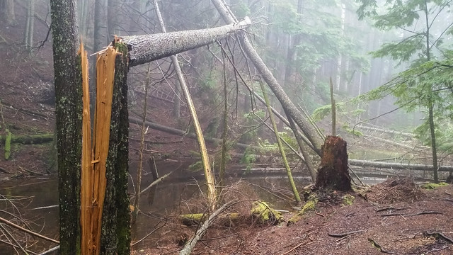
Misty forest conditions on Mount Gardner.
Forest trail on the climb.
Another section of the route.
Dense coastal forest along the trail.
A recently fallen tree beside the route.
Near the Summit
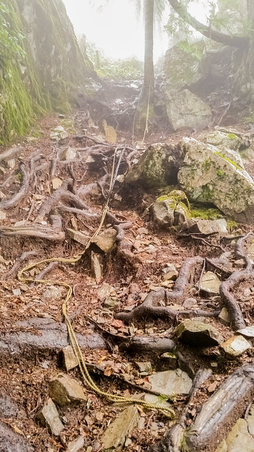
The final approach becomes steeper and includes a short rope-assisted section. When I completed the hike, fixed ropes were present to help with the climb and descent.
Do not assume that any fixed rope is maintained or safe. Its condition can change over time, and hikers should be comfortable negotiating steep terrain without depending entirely on the rope.
Rope-assisted terrain near the summit during my hike.
Mount Gardner Summit
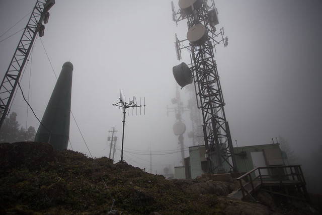
The summit area contains telecommunications antennae, repeaters, and helicopter landing pads. These installations make the summit feel quite different from a typical remote mountain top.
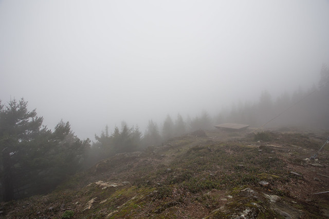
Unfortunately, cloud completely obscured the views during my visit, so the summit itself was surrounded by fog.
No summit view on this particular day.
Telecommunications equipment at the summit.
What to Bring
Mount Gardner is long and steep enough to justify carrying the Ten Essentials. Navigation is particularly important because of the number of side trails, old roads, and junctions on the mountain.
Carry a headlamp, first-aid supplies, extra food, sufficient water, emergency shelter, sun protection, and extra clothing. Download an offline map before starting and carry a fully charged phone with backup power.
Cell service can be inconsistent, so leave your route and expected return time with someone you trust.
Leave No Trace
Please follow Leave No Trace principles throughout the hike. Stay on established routes, pack out everything you bring in, avoid damaging vegetation, and leave wildlife undisturbed.
Do not create shortcuts between switchbacks or use abandoned trails simply because they appear to head in the right direction. Staying on established trails also helps reduce route-finding problems.
Before You Go
Check current Bowen Island trail information and current ferry schedules before travelling. Trail conditions, fallen trees, signage, parking restrictions, and transportation arrangements can change over time. If driving, use the Killarney Lake parking destination rather than assuming parking is allowed at the original trailhead.
The route description, photographs, GPS track, and trail conditions on this page reflect conditions when I completed the hike. Trail markings, fallen trees, fixed ropes, parking, ferry schedules, and route conditions may have changed since then. Confirm current conditions before heading out.
The Gulf Islands of British Columbia are a wonderful place to explore, and I’m glad I had the opportunity to visit Galiano Island.
One of the highlights of my visit was hiking Mount Galiano. The elevation gain is relatively modest, but the views from the summit make the climb well worthwhile. Looking out over the surrounding islands, waterways, and passing BC Ferries was a memorable experience.
The main public hiking route to Mount Galiano begins at the designated parking area on Active Pass Drive.
Some older trails approaching the mountain from the north cross private property and are no longer open to the public. Visitors should use the established public entrance rather than relying on older hiking routes or GPS tracks.
The following approximate figures describe the established public hiking route from Active Pass Drive, rather than the different route I followed during my original visit.
Distance6 km return
Elevation gain252 m
Highest elevationApproximately 300 m
Hiking time2–2.5 hours
DifficultyModerate
RouteOut and back
Published route estimates from SGI Outside. Actual distances, elevation gain, and hiking times depend on the route and individual conditions.
Getting There and Parking
Mount Galiano is located on Galiano Island in British Columbia’s Southern Gulf Islands. Visitors travelling from the mainland can reach the island by BC Ferries, with service connecting Tsawwassen and Sturdies Bay.
From the Sturdies Bay ferry terminal, follow the island roads toward Active Pass Drive, where the public Mount Galiano trail begins.
The designated gravel parking area is located just off Active Pass Drive, beside the trailhead. It accommodates approximately 12 vehicles, so parking may be limited during busy periods.
The Get Driving Directions button near the beginning of this article leads to the public parking area.
Parking and access reminders
Overnight parking is not permitted at the Mount Galiano parking area. Respect posted signs, avoid blocking neighbouring driveways, and do not park on private property.
Highest point on Galiano Island: Mount Galiano reaches approximately 314 m above sea level, making it the highest point on the island.
Protected area: The Mount Galiano Nature Protection Area encompasses approximately 84 hectares. The land was purchased through community fundraising in 1991, and the Galiano Club became its steward the following year.
Public hiking trail: The current main public trail was officially opened in 1993 and is named in honour of Spanish explorer Dionisio Alcalá Galiano.
Biogeoclimatic zone: Galiano Island lies within the Coastal Douglas-fir (CDFmm) biogeoclimatic zone, one of British Columbia’s most restricted and ecologically significant forest zones. Its relatively mild, dry climate supports Douglas-fir, arbutus, western redcedar, and other coastal species.
Forest ecology: Much of Mount Galiano is covered by second-growth forest, including Douglas-fir, western redcedar, bigleaf maple, and red alder.
Summit vegetation: Rocky outcrops near the summit provide a different growing environment from the surrounding forest. Garry oak trees have also been planted in the summit area as part of local conservation efforts.
Historic aircraft wreckage: Remains of a small airplane can be found near the established trail. The Galiano Club acknowledges the wreckage but does not identify a confirmed explanation for its presence.
Active Pass: The narrow waterway between Galiano and Mayne islands is an important BC Ferries route. From the summit, hikers may see ferries passing through the surrounding waterways.
The Hike to Mount Galiano
The public trail begins at the Active Pass Drive parking area and climbs through forest toward the summit. According to the Galiano Club, the hike to the top takes approximately one hour, although individual hiking times vary.
Much of the trail passes beneath a mixed forest canopy before reaching the more open summit area.
There are roots, rocks, and uneven sections along the route, so suitable footwear is worthwhile, particularly when descending after rain.
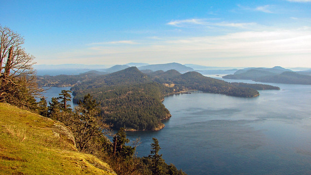
Near the top, the forest opens to expansive views over the Southern Gulf Islands and surrounding waterways.
The view from the top of Mount Galiano during my visit.
My Original Mount Galiano Hike
When I hiked Mount Galiano in February 2009, I followed a different route from the one now recommended to visitors. I started near Georgeson Bay Road and followed a combination of trails uphill, returning by a slightly different route.
At the end of my hike, I emerged onto Georgeson Bay Road approximately 425 m from where I had parked, so I had an additional walk along the road to reach my car.
My original hike measured approximately 6.8 km, with an elevation gain of about 240 m. These figures describe my historical route, not the current public trail from Active Pass Drive.
Because some former approaches now cross private property and are closed to the public, I no longer recommend following my original route. The photographs below remain a record of what I experienced during that visit.
Galiano Island from the Ferry
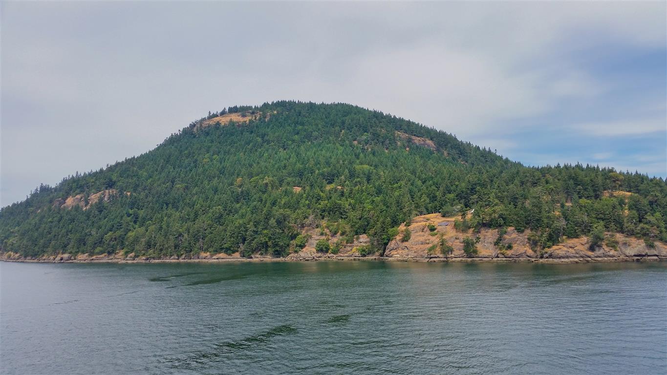
One of the pleasures of visiting the Gulf Islands is the journey itself. I photographed Mount Galiano from a BC Ferry, providing a different perspective on the mountain and its surrounding coastline.
Mount Galiano viewed from a BC Ferry.
Aircraft Wreckage
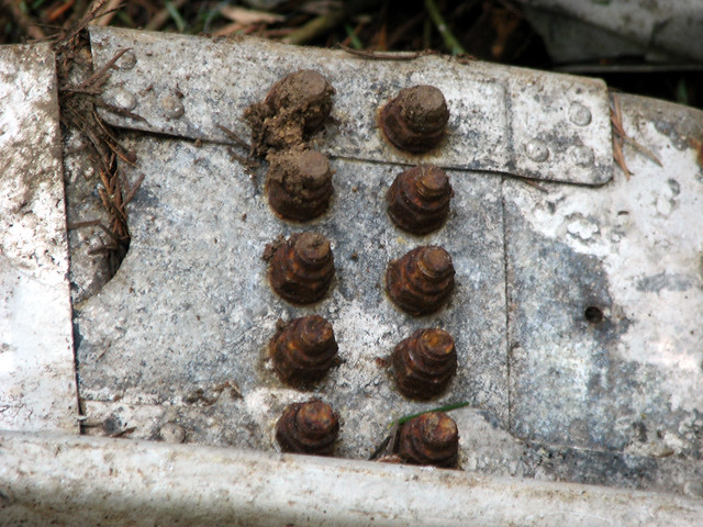
One of the most unusual things I encountered during my hike was the remains of an old airplane.
I photographed sections of the wreckage, including some of the smaller metal components. It was certainly not something I expected to find during a forest hike.
The Galiano Club also mentions the aircraft wreckage in its description of the mountain. However, I haven’t been able to establish the aircraft’s identity or the circumstances of the crash.
Airplane wreckage I encountered during the hike.A closer look at some of the metal components.
Conglomerate Rock and Forest Scenery
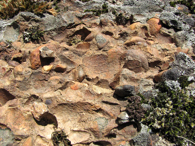
I also came across an interesting example of conglomerate rock. Conglomerate is a sedimentary rock containing rounded pebbles or larger fragments held together by finer material.
The rock caught my attention because of its distinctive texture and the mixture of rounded stones embedded within it.
An interesting conglomerate rock formation I found on Mount Galiano.
The forest itself was another enjoyable part of the hike. Although Mount Galiano is relatively low in elevation, the wooded slopes and surrounding island landscape provide a distinctly coastal hiking experience.
A view of the forest during my hike.
Watching the Ferries from Above
One of my favourite parts of reaching the top was looking out over the water and watching a BC Ferry passing through the area.
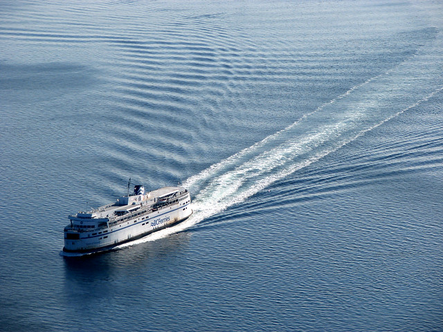
I photographed the Queen of Vancouver during my visit. Watching a large ferry moving between the islands from a mountain viewpoint was an interesting change from the usual mountain scenery.
The Queen of Vancouver, photographed from Mount Galiano.
Exploring the Galiano Island Coastline
After descending Mount Galiano, I spent some time exploring the island’s coastline. Galiano has an interesting mixture of rocky shores, forested slopes, and sheltered waterways, and there was plenty more to see beyond the hike itself.
Mount Galiano is a relatively short hike, but visitors should still prepare for changing weather, uneven terrain, and potentially slippery roots or rocks.
Wear appropriate hiking footwear, carry water, and bring the Ten Essentials, including navigation, a headlamp, first-aid supplies, extra food, suitable clothing, and emergency equipment.
Download an offline trail map before heading out, and let someone know your plans and expected return time.
Leave No Trace
Mount Galiano protects sensitive coastal forest and summit ecosystems. Stay on the established public trail, avoid trampling vegetation, leave the aircraft wreckage undisturbed, and pack out everything you bring in.
Camping and open fires are prohibited within the Mount Galiano Nature Protection Area. Please respect neighbouring private property and posted access restrictions.
About this hiking account: My photographs and personal observations reflect my February 2009 visit. My original route differed from today’s established public trail. Visitors should use the Active Pass Drive entrance and check current information from the Galiano Club before travelling.
Further Information
For current access and information about Mount Galiano’s history, ecology, and management, these local sources are particularly useful: