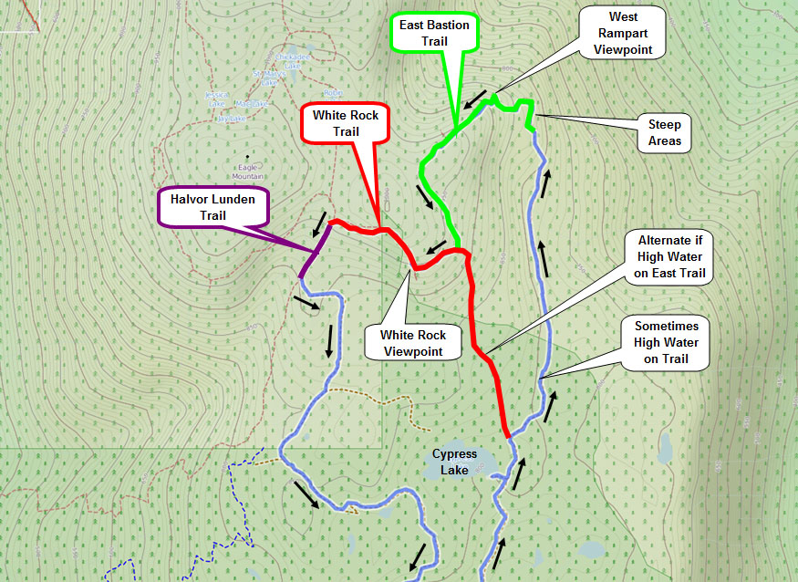
Today I hiked up to the East Bastion Trail on Eagle Mountain to see the West Rampart Viewpoint and White Rock Viewpoint. We started from the Hickory Drive Reservoir in Port Moody and proceeded up the myriad of hiking/biking trails. I suggest using GPS to do this route or you’ll find yourself going in all different directions. Here is the GPX file. You must right click it and save link as – once downloaded, change the extension from .jpg to .gpx. You can then use the gpx file with your gps device or with Google Earth.
Today’s Stats:
Distance: 14.6 km (return)
Low point: 324 m
High point: 977 m
Elevation gain: 653 m
Cumulative Elevation gain: 860 m
Trailhead: 49° 18’ 25” by 122° 49’ 58” (Google Map)
Today’s route:
Here are some route details…
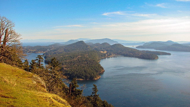
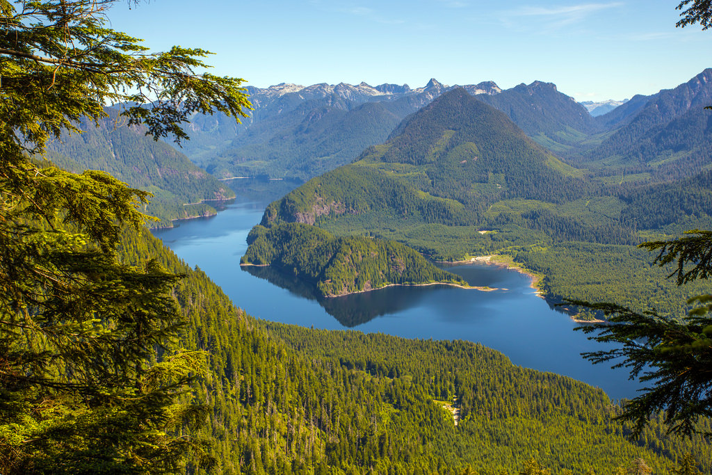
The view of Coquitlam Lake from the West Rampart Viewpoint…
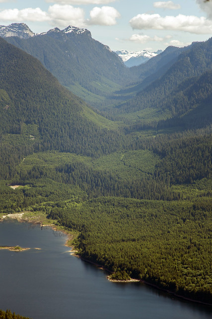
The next photo is a view of the Blakeny Creek (also known as Cedar Creek) Valley from the West Rampart viewpoint… Blakeny Creek is one of Coquitlam Lake’s major inflow rivers.
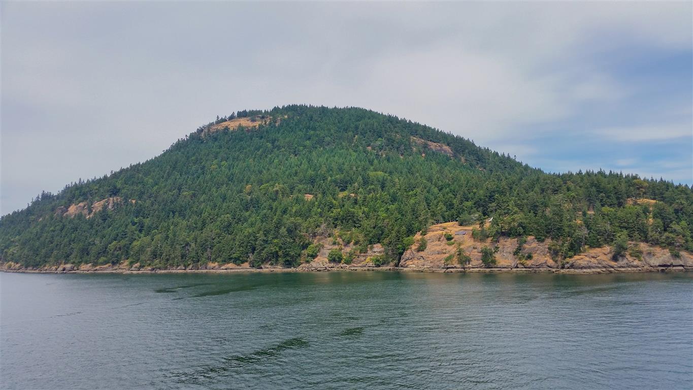
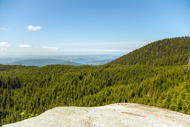
The weather today was perfect for hiking – we had sunny skies all day with some small clouds. The view from the White Rock Viewpoint (which is a 45 minute hike and 1.5 km from the West Rampart viewpoint) was better than two weeks ago…
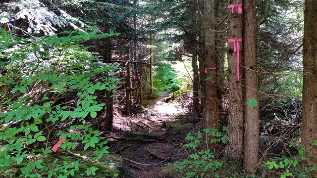
When we finished at the White Rock viewpoint, it was time to head back. There is a fork in the trail we took the east fork, eventually hooking up with the Halvor Lunden Trail. After only about 250 m on the Halvor Lunden Trail, you’ll find the turn-off for the Coquitlam Trails. Below is a photo of the trailhead. Its up a tiny embankment, which is probably why its missed so often…
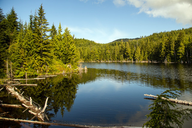
Here’s the view of Cypress Lake today…
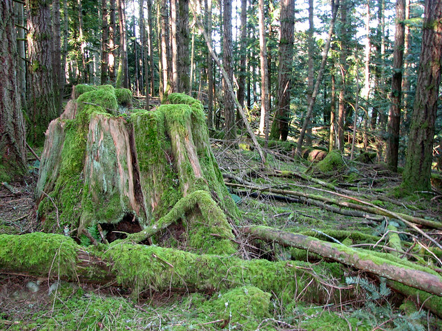
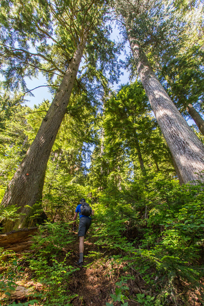
There are some impressive old growth trees here…
★★★★★★★★★★★
Before heading out on your hike, make sure you are well prepared. This means, having the TEN ESSENTIALS. It is also important to leave a trip plan (route details and estimated return time) with someone you trust.
Bring your smartphone, fully charged and put it in airplane mode while hiking. I always bring back-up battery packs for extra piece of mind. It is highly recommended that you bring a GPS device; I use my smartphone with a GPS app (Backcountry Navigator). The GPS will work in airplane mode. Learn how to use it before your hike.
For anyone new to hiking, there is a rule to which hikers follow; it is called “Leave No Trace” or LNT. The concept is generally to pack out what you pack in and respect nature, so all future visitors can enjoy what you have enjoyed.
To learn more about LNT, please check out this BLOG by a certified LNT Trainer.