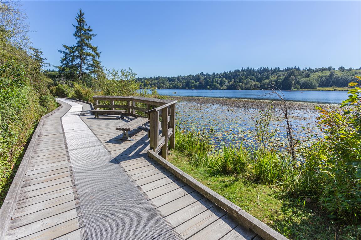
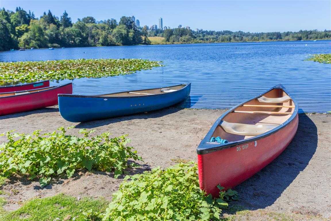
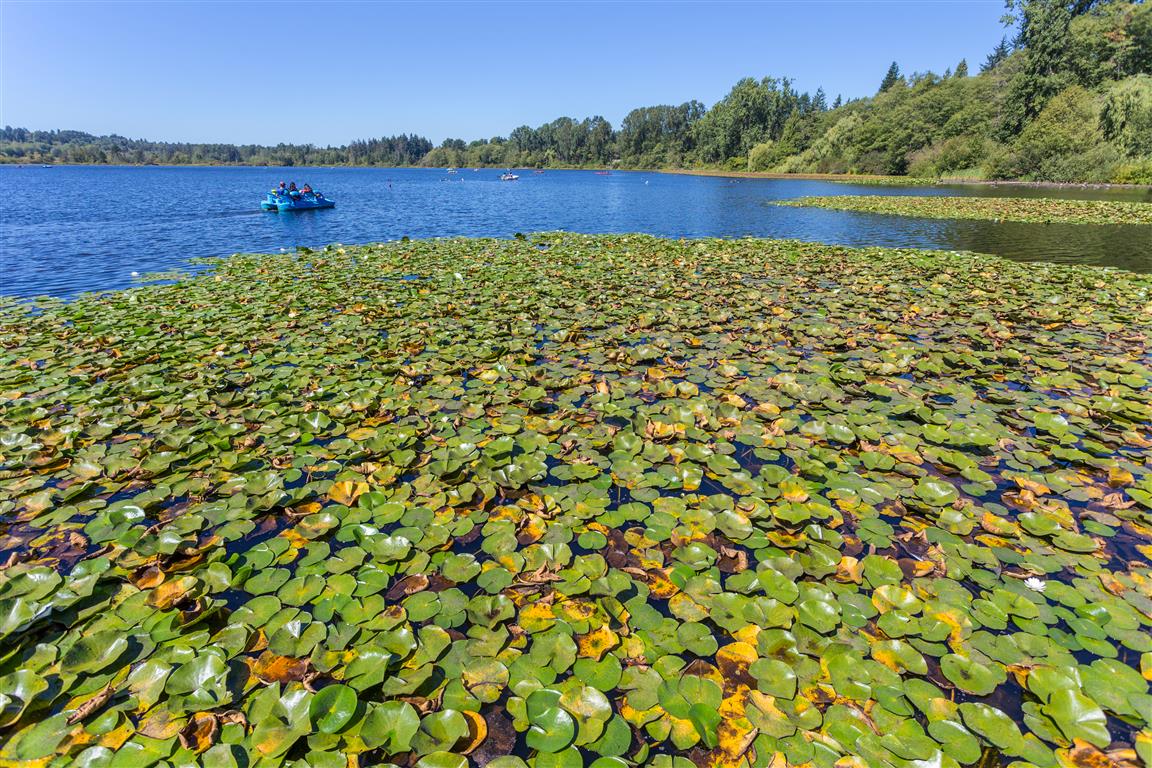
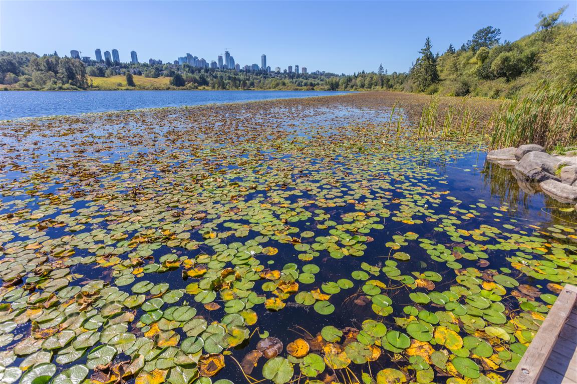
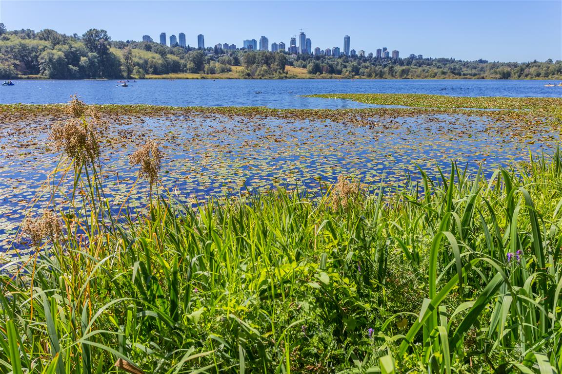
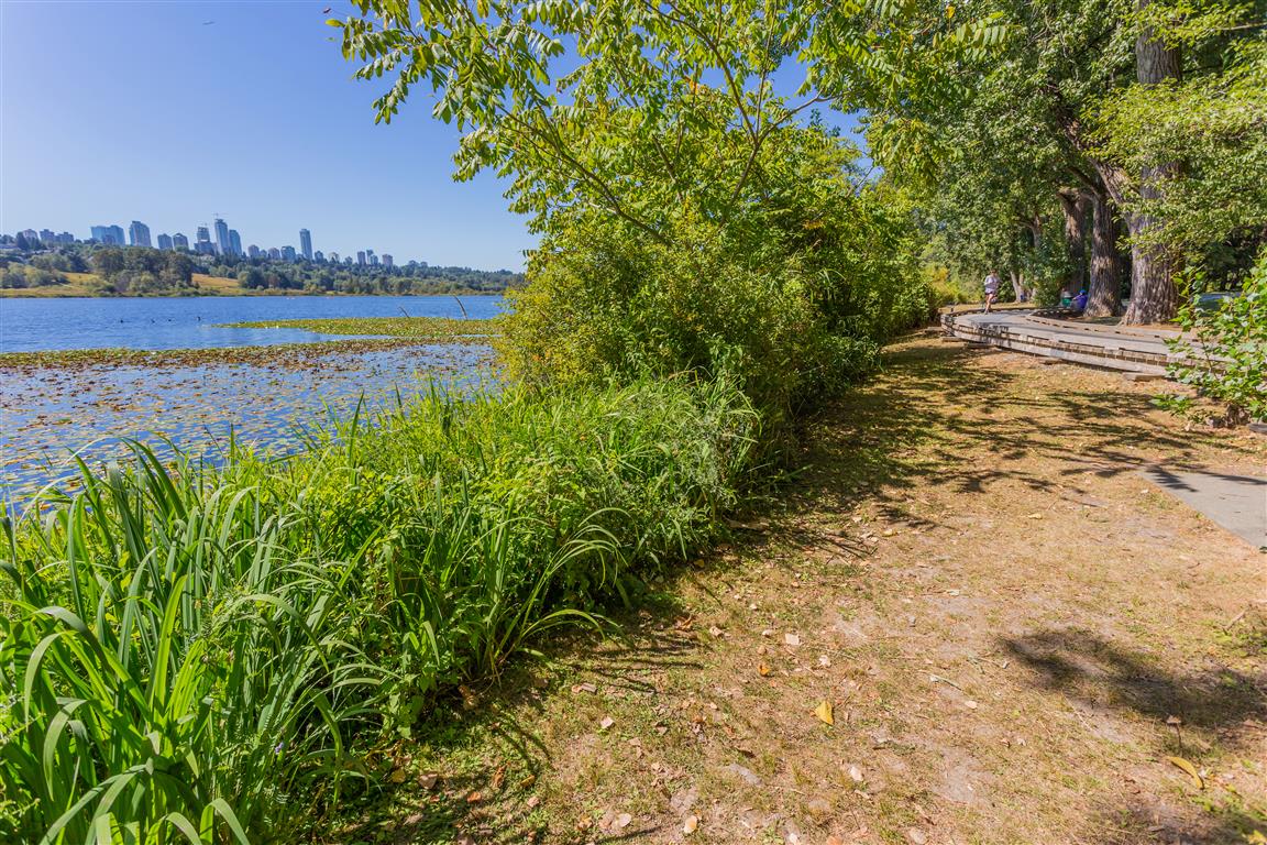
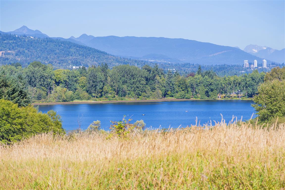
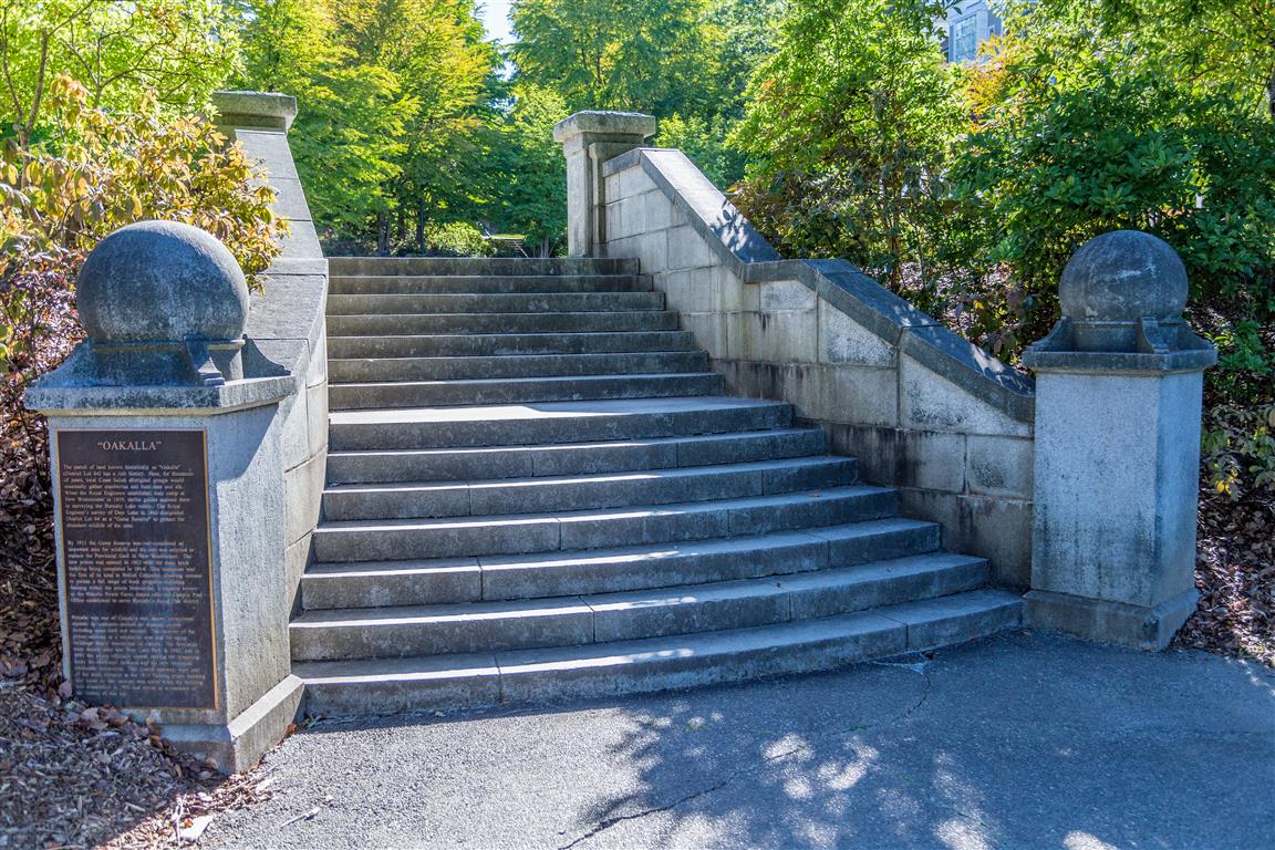
Deer Lake is located near the centre of Burnaby, BC, and is about 35 ha (90 acres) in area. The area is a nature oasis in the City of Burnaby. There are a number of easy walking trails and points of entry. I parked at the parking lot off Sperling Avenue. The trail around the lake is short and sweet; it is flat, with many elevated boardwalks to protect the sensitive aquatic ecosystems. To add some distance to your hike, I suggest a walk up to see the original stairs for Oakalla Prison (which used to be located in the area).
Deer Lake Park, Burnaby: Trail Conditions & Weather
📍 Get Driving Directions ↗
Check current park advisories, road access, and weather before heading out.
Trail Stats
- Distance: 3.5 km (just the lake loop)
- Time: 1 hour
- Low point: 20 m
- High point: 38 m
- Elevation gain: 18 m
The Route
The actual GPS track from this hike, drawn on the map below. Green marks the start/end point.
Photos
Conditions on this trail can change over time — trailheads move, access rules shift, and businesses close. This post reflects what I found when I did the hike.