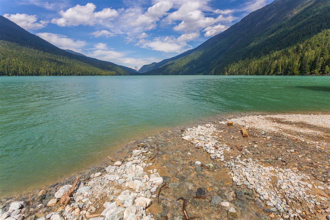
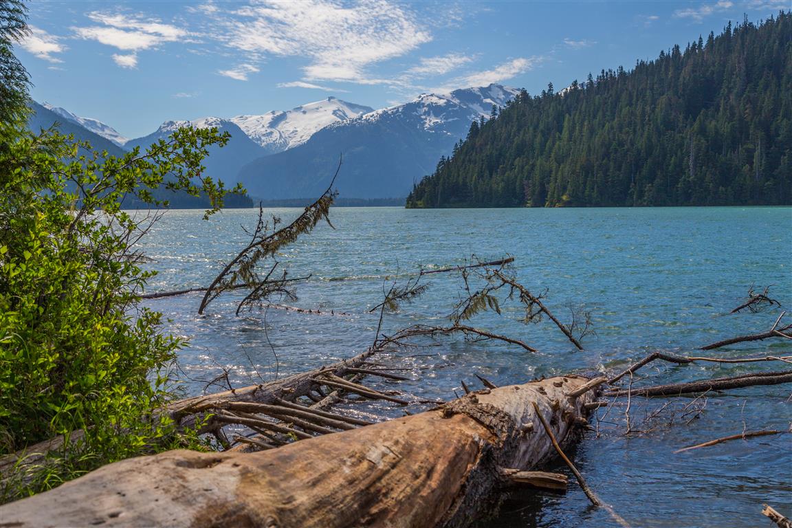
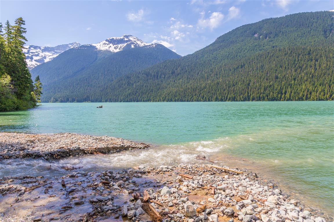
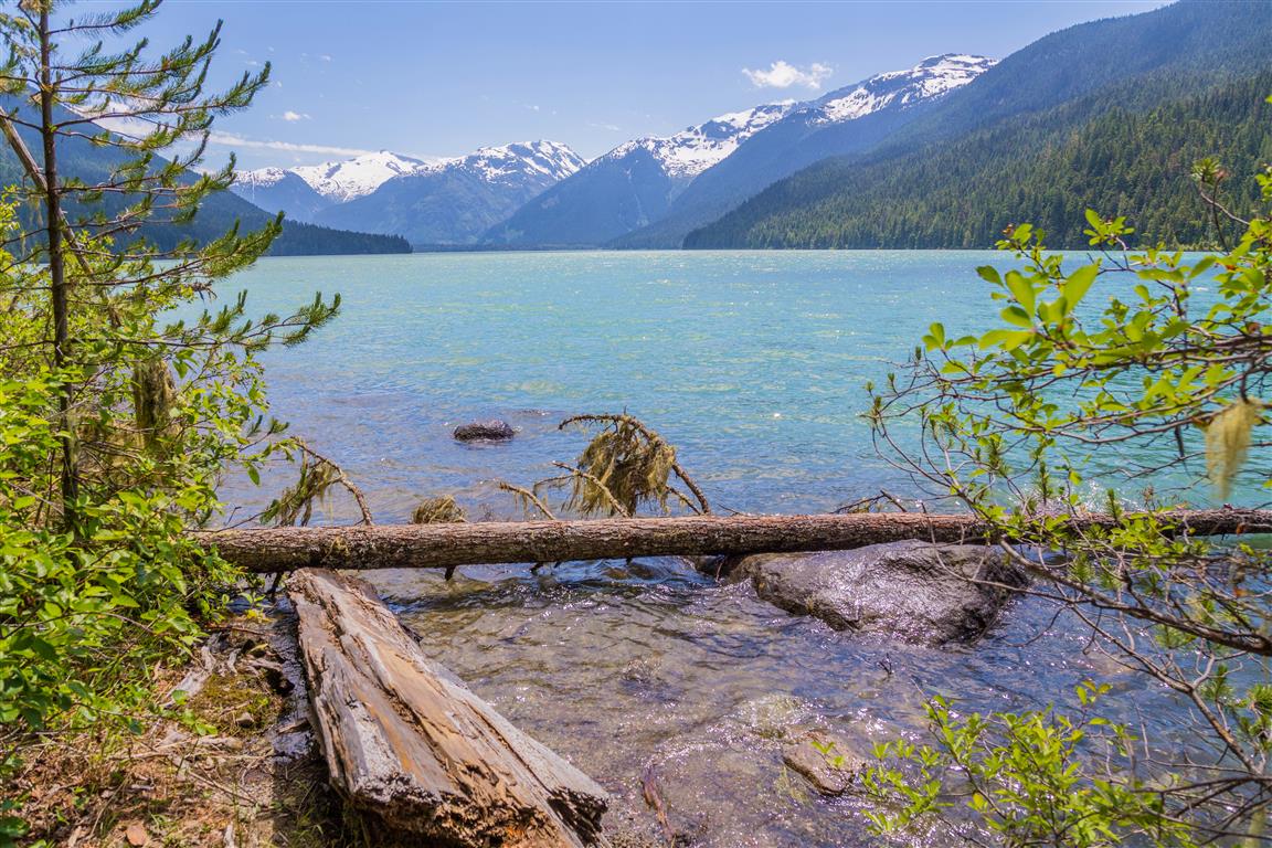
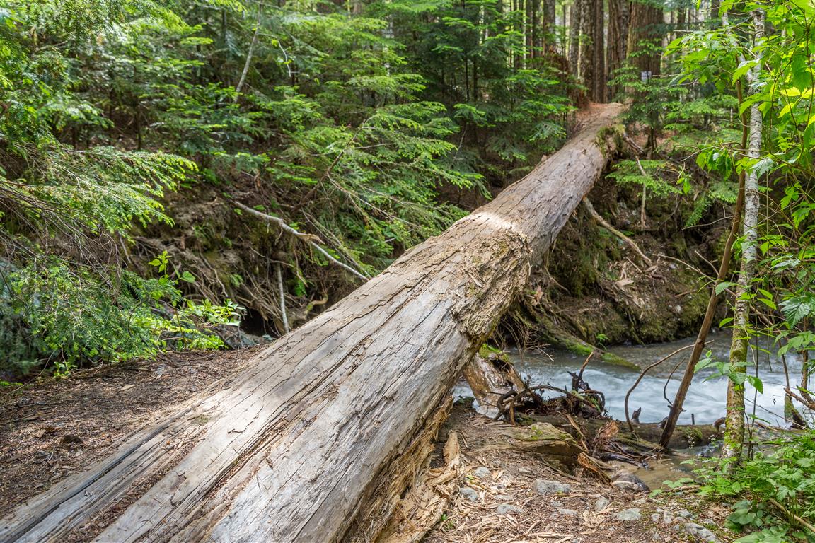
Cheakamus Lake is an emerald-green, glacial-fed alpine lake, located in Whistler. The hike follows the Cheakamus River for about 3.5 km and then follows the north side of the lake, ending at Singing Creek after another 4 km. At this point the official trail ends. To go beyond, you will have to walk across a fallen tree over Singing Creek and do some bushwhacking (according to Park Rangers).
The emerald-green colour, along with the backdrop of snow-covered peaks, really makes for some nice scenery. The hike is not too strenuous, as it is mostly flat with some small ups and downs.
Interesting Facts
- Cheakamus Lake sits inside Garibaldi Provincial Park, a 194,000 ha wilderness area established in 1927
- The park is named after Mount Garibaldi, which Royal Navy Captain George Richards named in 1860 after the Italian revolutionary Giuseppe Garibaldi
- The lake covers about 5.7 km² and is fed by Castle Towers Creek, the Cheakamus River, and Singing Creek, with the Cheakamus River draining back out at its western end
- Cheakamus Lake was first stocked with trout back in 1926, with 20,000 eggs, which may explain why fishing here has been good for nearly a century
- In 2005, a CN Rail train derailment spilled about 40,000 litres of sodium hydroxide into the Cheakamus River, well downstream of the lake itself, causing a major fish kill along that stretch of river. It’s a reminder of how fragile these watersheds can be
Getting There
For directions, click on Trailhead and parking below.
Tip: shut off the fresh air intake, so you don’t get dust in your car.
Trail Stats
- Distance: 15 km (return)
- Time: 3 to 6 hours
- Low point: 832 m
- High point: 899 m
- Elevation gain: 67 m
- Cumulative elevation gain: 360 m
The Route
The actual GPS track from this hike, drawn on the map below. Green marks the start/end point.
Photos
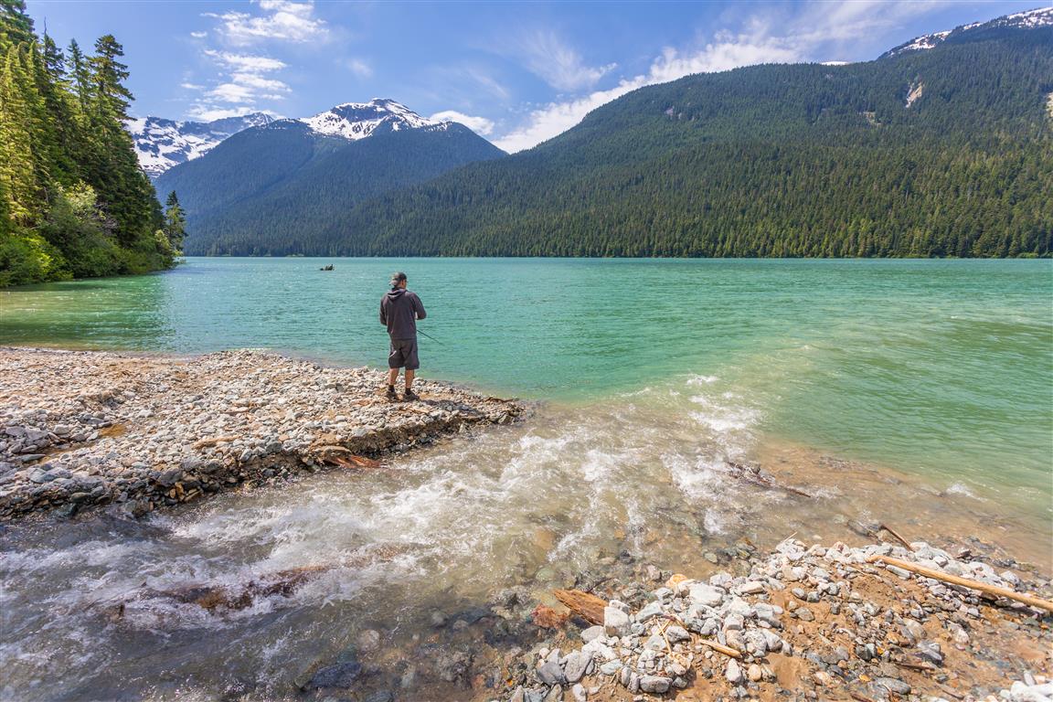
The fishing was great:

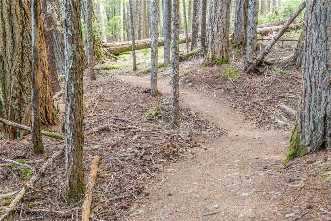
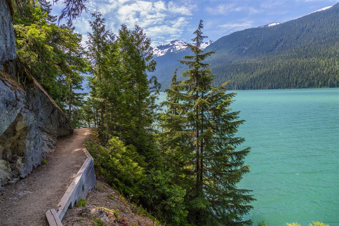
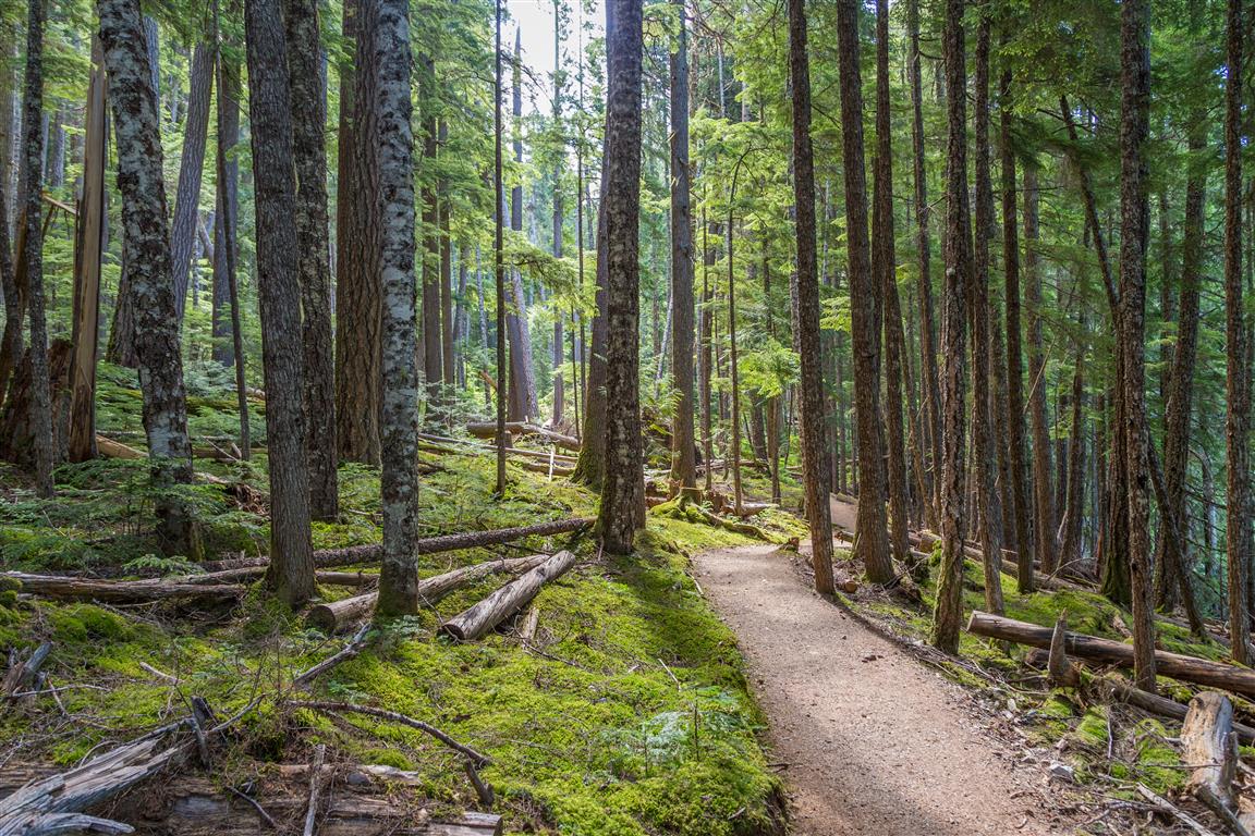
Western columbine:

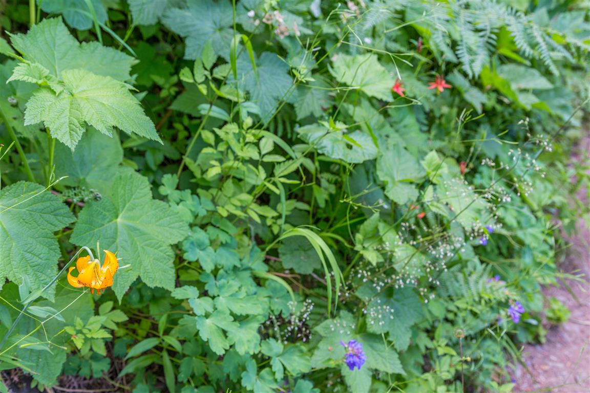
So many wildflowers in bloom:
This is the bridge to cross Singing Creek:
Before You Hike
Before heading out on your hike, make sure you are well prepared. This means having the TEN ESSENTIALS. It is also important to leave a trip plan (route details and estimated return time) with someone you trust.
Bring your smartphone, fully charged, and put it in airplane mode while hiking. I always bring backup battery packs for extra peace of mind. It is highly recommended that you bring a GPS device. I use my smartphone with a GPS app (Backcountry Navigator). The GPS will work in airplane mode. Learn how to use it before your hike.
For anyone new to hiking, there is a rule that hikers follow called “Leave No Trace” or LNT. The concept is generally to pack out what you pack in and respect nature, so all future visitors can enjoy what you have enjoyed. To learn more about LNT, please check out this blog by a certified LNT Trainer.