Mount Strachan is a rugged hike in Cypress Provincial Park that combines the Howe Sound Crest Trail, Strachan Meadows, the steep climb through Christmas Gully, excellent mountain views, and the historic wreckage of a Royal Canadian Navy T-33 jet.
My route began beside the Cypress Mountain lodge and followed the same general trail used for St. Mark’s Summit for the first few kilometres. From Strachan Meadows, I left the main trail and climbed Christmas Gully to the saddle between Mount Strachan’s North and South peaks. I continued to the South Peak before descending past the 1963 aircraft crash site.
The Christmas Gully route is considerably less obvious than the main Howe Sound Crest Trail. The turnoff may be easy to miss, and the gully itself is steep, rocky, and can be slippery. Carry reliable navigation and do not rely entirely on trail signage.
Trail Stats
These statistics are based on my uploaded GPS track.
- Distance: approximately 7.4 km
- My hiking time: approximately 4 hours 30 minutes, including plenty of breaks
- Low point: approximately 921 m
- Highest GPS elevation: approximately 1,429 m
- Mount Strachan South Peak: approximately 1,442 m
- Net elevation gain: approximately 520 m
- Cumulative elevation gain: approximately 520 m
- Difficulty: Moderate to difficult
- Route: Loop via Christmas Gully and Mount Strachan South Peak
- 📍 Trailhead: Google Maps
Interesting Facts
- Two summits: Mount Strachan has distinct North and South peaks. The North Peak is the higher summit at approximately 1,459 m, while the South Peak is about 1,442 m. My hike visited the South Peak.
- Christmas Gully: The steep gully between Strachan Meadows and the summit ridge gains more than 300 m over a relatively short distance. It is rocky, can be wet or slippery, and involves some hands-on scrambling.
- Howe Sound Crest Trail: The approach initially follows part of the Howe Sound Crest Trail, a rugged 29 km backcountry route extending north from Cypress toward the Lions and eventually Highway 99.
- Biogeoclimatic zone: The upper Cypress area lies largely within the Mountain Hemlock biogeoclimatic zone. Mountain hemlock and yellow-cedar are characteristic trees, with increasingly open subalpine terrain near the higher ridges.
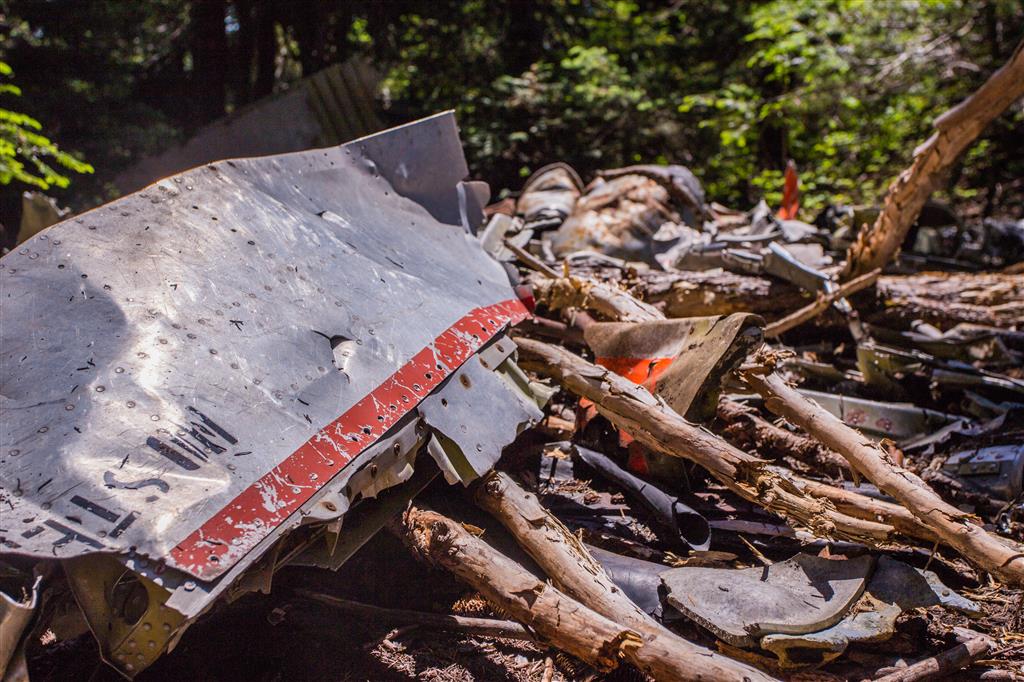
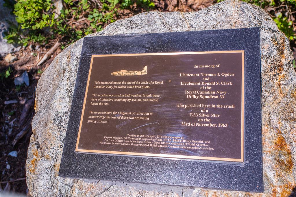
- 1963 aircraft crash: On November 23, 1963, a Royal Canadian Navy T-33 training jet crashed into Mount Strachan during bad weather. Both pilots, Lt. Norman Ogden and Lt. Donald Clark, were killed. Wreckage remains in the forest below the mountain.
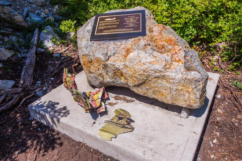
- Memorial: A more substantial memorial to the two pilots was installed in 2014 near the crash site.
- Cypress ski area: Much of Mount Strachan forms part of the Cypress Mountain ski area. Summer and winter access can therefore differ considerably, and some routes that are appropriate in summer should not be followed during ski operations.
The Route
The interactive map below shows my actual GPS route. The hike climbs from Cypress through Strachan Meadows and Christmas Gully to the South Peak, then descends on the opposite side of the mountain past the T-33 crash site.
Use the layer control in the upper-right corner to switch between the regular map and satellite imagery.
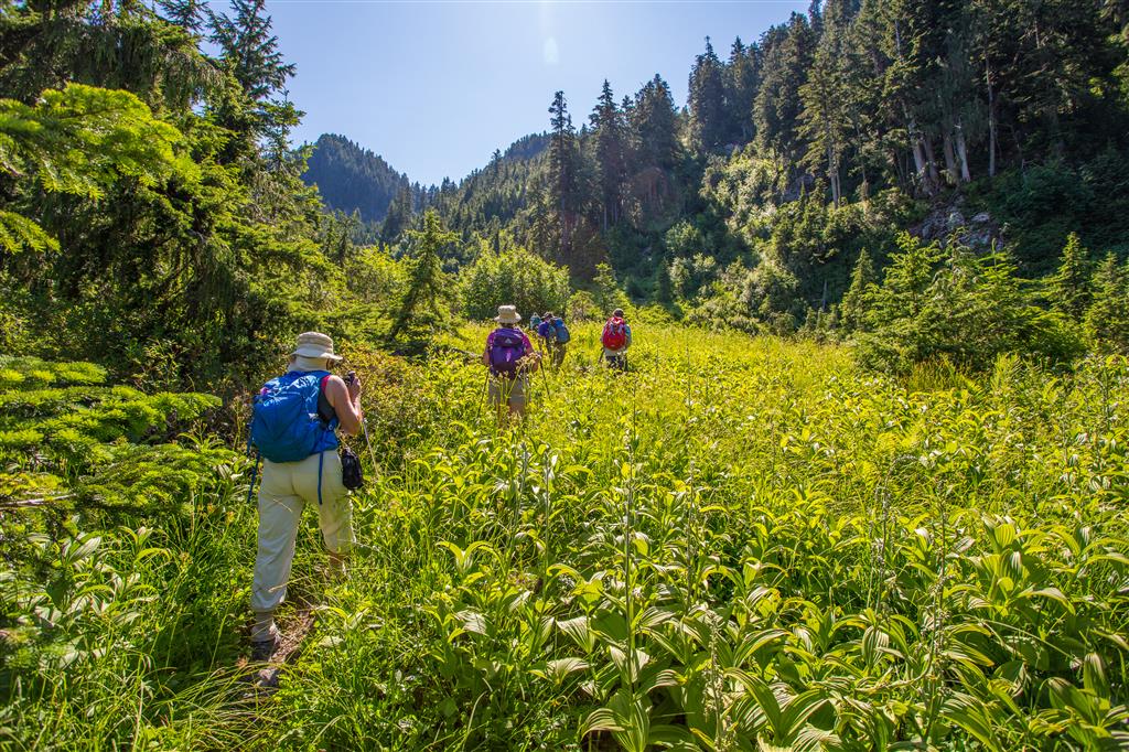
Strachan Meadows
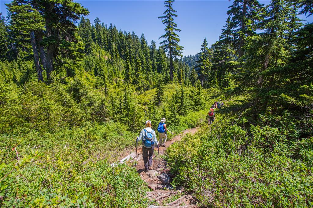
The opening portion of the hike follows a well-established trail from Cypress toward the Howe Sound Crest Trail. After roughly 3 km, the route reaches Strachan Meadows below Mount Strachan.
The turn toward Christmas Gully was not particularly obvious when I completed the hike. This is one of the places where having an offline map or GPS track is useful.
Christmas Gully
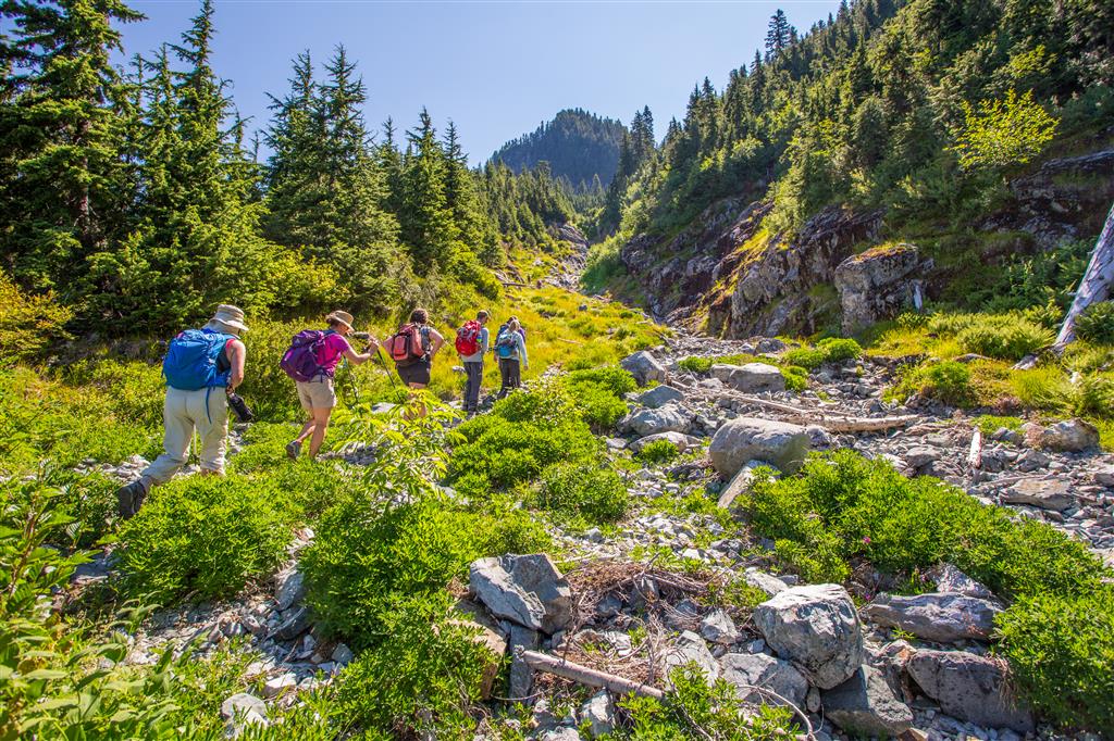
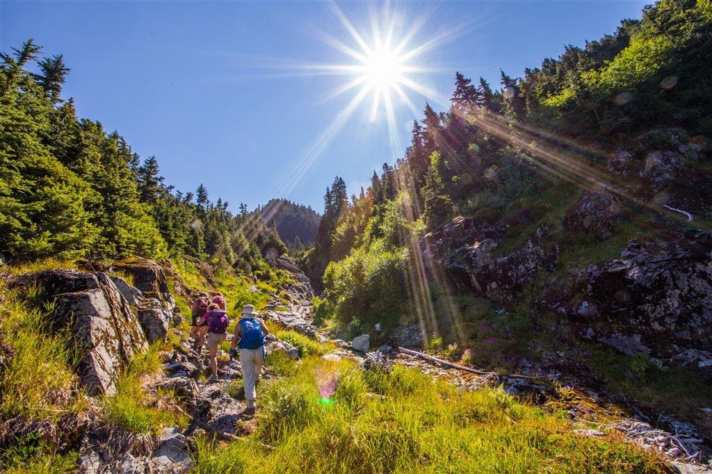
Christmas Gully is the most demanding part of the hike. The route climbs steeply between the North and South peaks, gaining more than 300 m over a relatively short distance.
The footing is rocky and uneven, and there are several places where using your hands makes the climb easier. Water can also run through parts of the gully, making the rocks slippery.
Mount Strachan South Peak
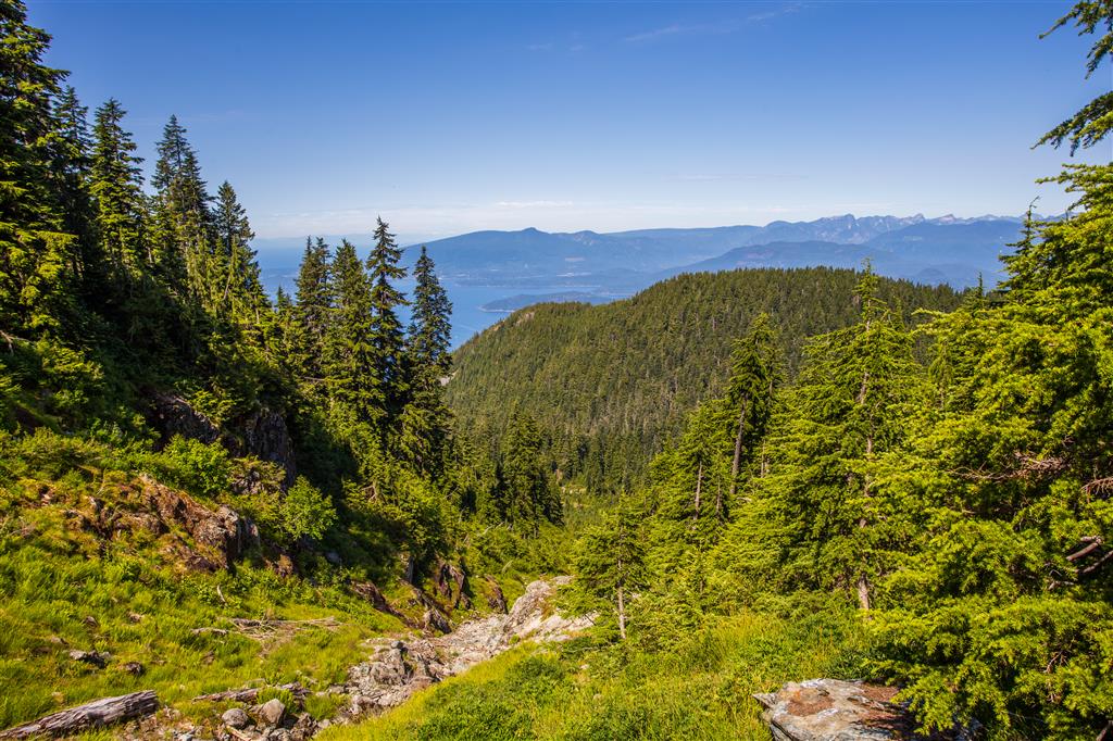
Christmas Gully reaches the saddle between the two Mount Strachan summits. The North Peak is to the north and is actually the higher summit at approximately 1,459 m. I skipped the North Peak on this hike and continued to the South Peak at approximately 1,442 m.
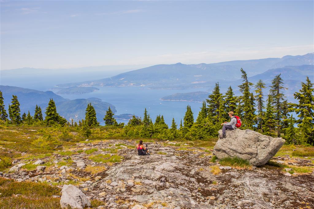
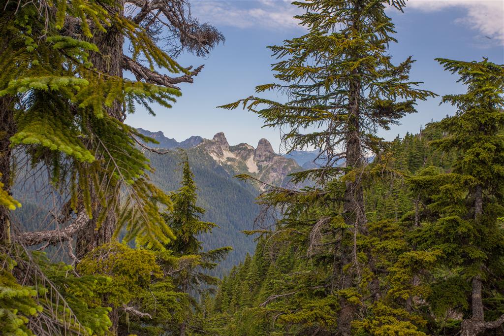
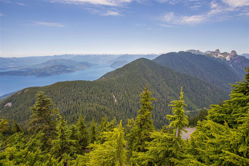
The South Peak provides excellent views over Howe Sound, the North Shore Mountains, and toward the Lions.
Descending Mount Strachan
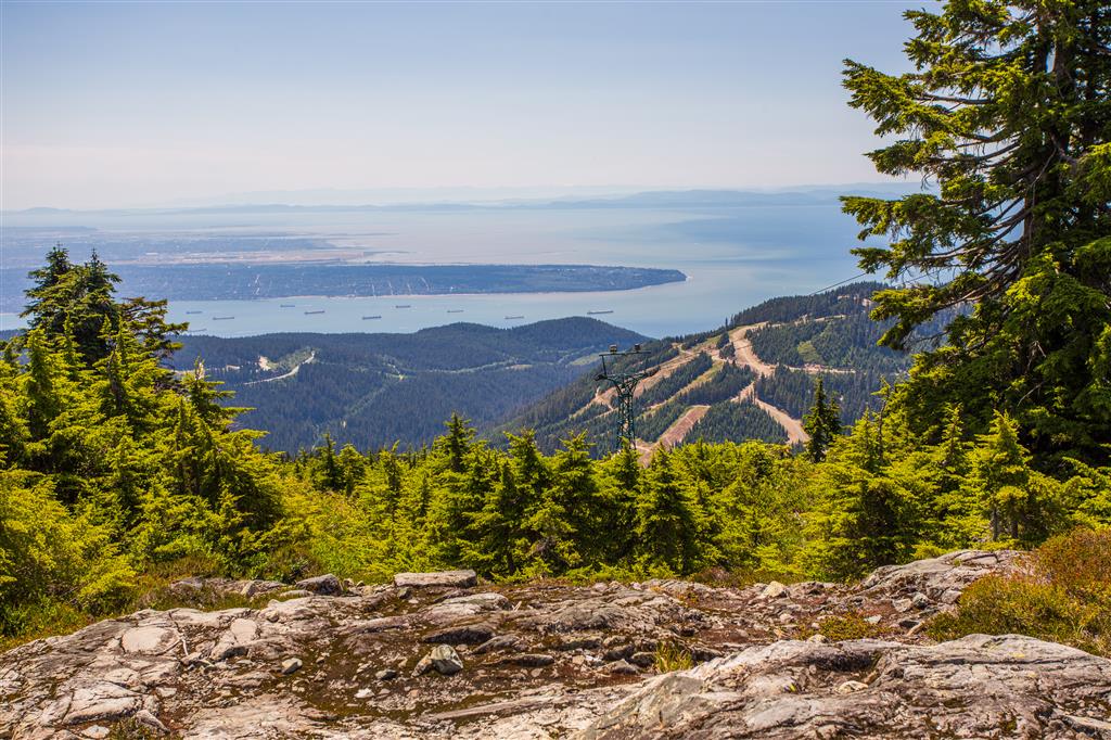
Rather than descending Christmas Gully, my route continued down the opposite side of Mount Strachan. This creates a loop and avoids having to descend the steep gully.
The 1963 T-33 Aircraft Crash
One of the most unusual features of the Mount Strachan route is the wreckage of a Royal Canadian Navy T-33 training jet that crashed into the mountain on November 23, 1963.
The aircraft was on a training flight in poor weather when it struck Mount Strachan, killing both pilots, Lt. Norman Ogden and Lt. Donald Clark. Pieces of the aircraft remain scattered through the forest near the ski runs.
A memorial was installed near the wreckage in 2014 to commemorate the two pilots.
What to Bring
Mount Strachan is not exceptionally long, but the steep climb through Christmas Gully, less-obvious route finding, and mountain terrain make good preparation important. I recommend carrying the Ten Essentials.
Carry reliable navigation, a headlamp, first-aid supplies, extra food and water, sun protection, emergency shelter, and extra clothing. Download an offline map before starting and leave your route and expected return time with someone you trust.
This route is primarily a summer and snow-free-season hike. Winter access in Cypress Park follows different rules and routes, and uphill travel within the active alpine ski area is restricted during ski operations.
Leave No Trace
Please follow Leave No Trace principles throughout Cypress Provincial Park. Stay on established trails and durable surfaces where practical, pack out everything you bring in, and avoid damaging fragile subalpine vegetation.
The aircraft wreckage is a historic site and memorial. Do not move, remove, or disturb any pieces of the aircraft or memorial materials.
Before You Go
Check current BC Parks Cypress information, weather, snow conditions, parking requirements, and trail conditions before heading out. Mountain weather can change quickly, even during summer.