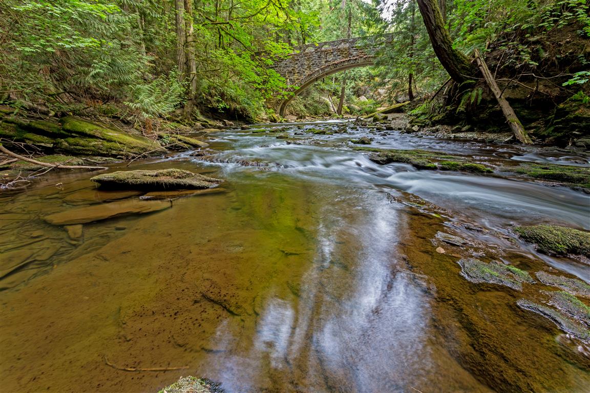
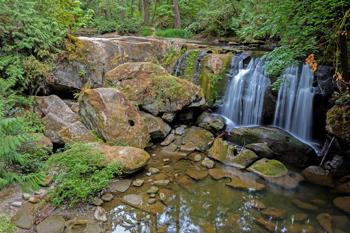
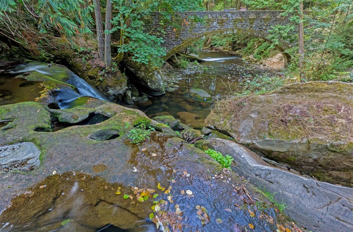
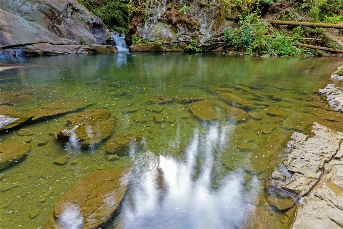
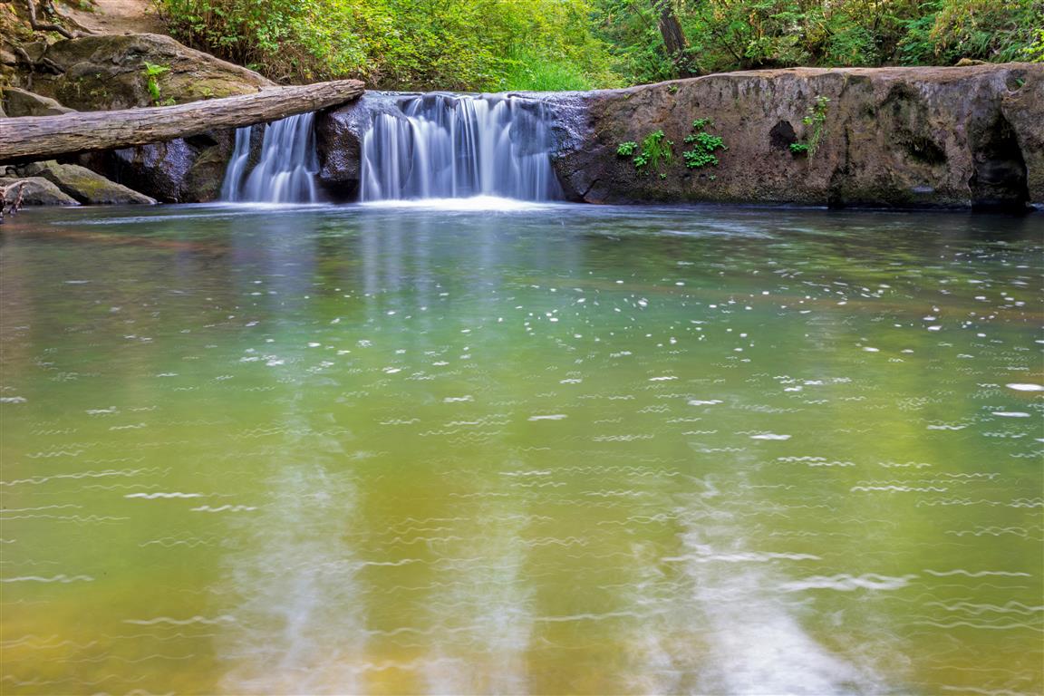
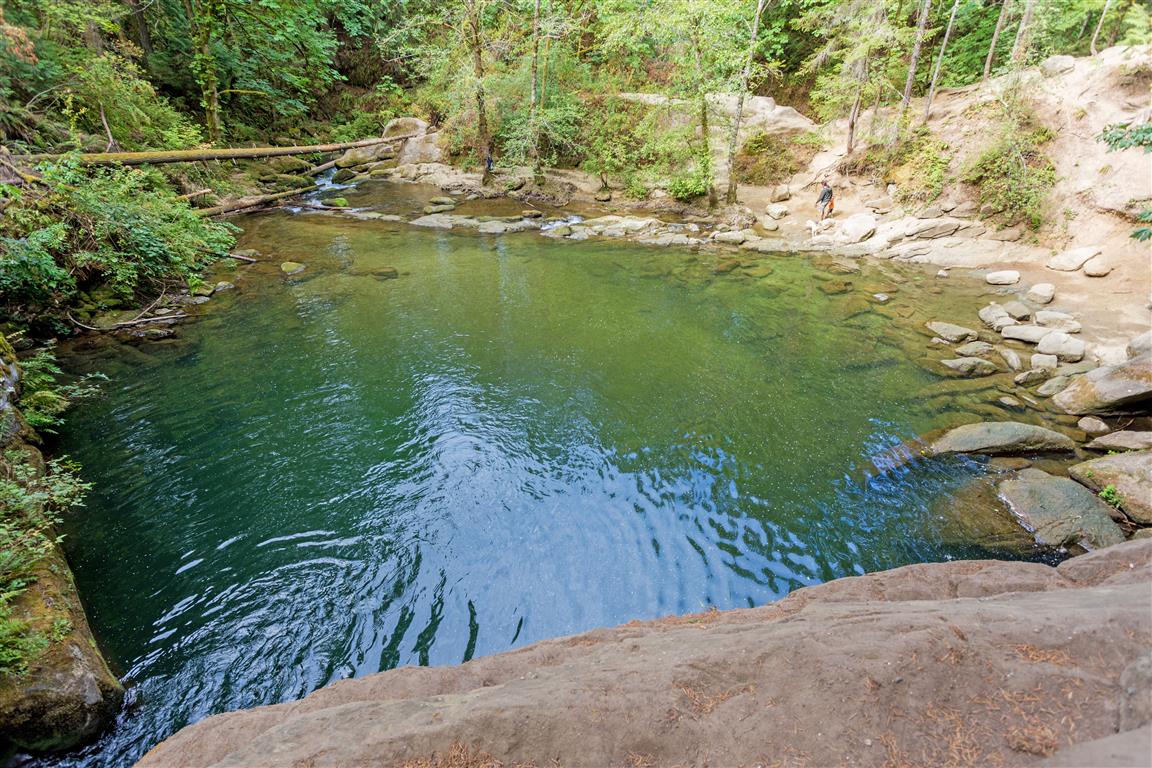
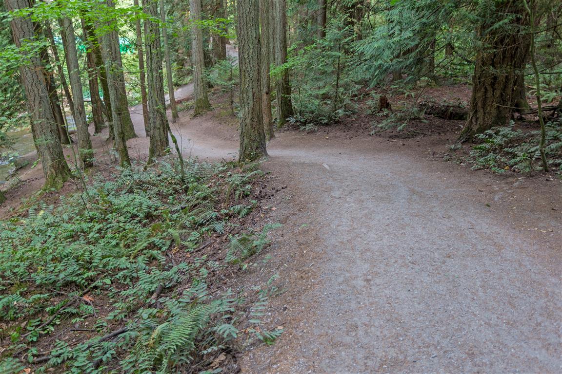
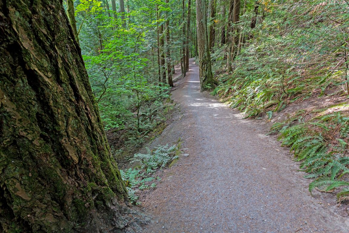
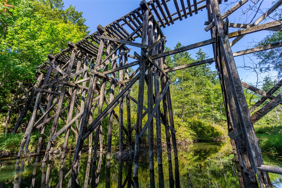
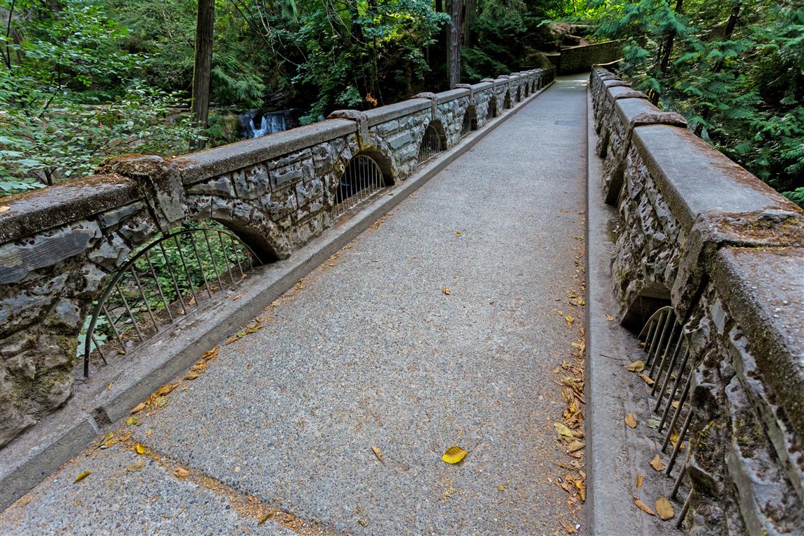
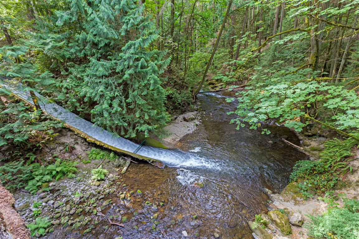
Whatcom Falls Park is an urban oasis in Bellingham, Washington. The park features a number of multi-use trails through a cool forest. It’s a great hike on a hot summer day! There are waterfalls, swimming holes, a great old stone bridge, and a decommissioned railway trestle. There are so many routes here, but I picked a nice loop (because I like loops!).
Whatcom Falls Park: Trail Conditions & Weather
📍 Get Driving Directions ↗
Check current park advisories, road access, and weather before heading out.
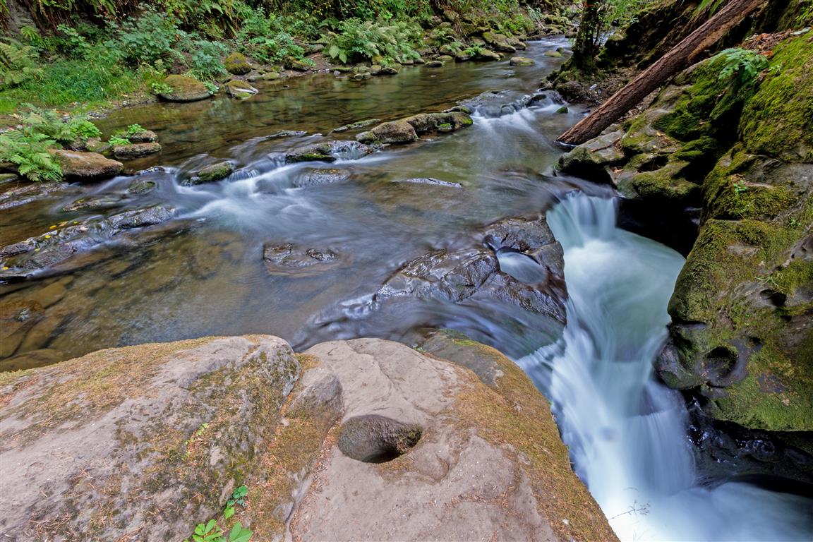
The geology of the area features sandstone, which is eroded smooth, and holes form in the rock. This park is similar in features and geology to Kanaka Creek Park in Maple Ridge, BC.
Trail Stats
- Distance: 6.7 km (4.2 mi) (loop)
- Time: 1 to 2 hours
- Low point: 29 m
- High point: 117 m
- Elevation gain: 88 m
The Route
The actual GPS track from this hike, drawn on the map below. Green marks the start/end point.
Photos
Conditions on this trail can change over time — trailheads move, access rules shift, and businesses close. This post reflects what I found when I did the hike.