Zoa Peak is a rewarding mountain hike in the Coquihalla Summit Recreation Area, with expansive views over the surrounding Cascade Mountains, alpine wildflowers, lingering snowfields, and excellent views toward nearby peaks including Yak Peak.
This was my first hike in the Coquihalla Summit area. After returning from Zoa Peak, we still had some time, so we added the short walk to Falls Lake before heading home. My GPS track and the statistics below include both trips.
Snow can linger well into the hiking season at higher elevations, and the Coquihalla Summit receives heavy winter snowfall. Check current trail, snow, weather, and access conditions before heading out.
Trail Stats
These statistics are based on my complete GPS recording and include the Zoa Peak hike plus the separate Falls Lake side trip.
- Total distance: approximately 9.9 km
- Zoa Peak portion: approximately 8.2 km return
- Falls Lake side trip: approximately 1.7 km return
- Recorded elapsed time: approximately 5 hours 6 minutes
- Low point: approximately 1,229 m
- High point: approximately 1,853 m
- Net elevation gain: approximately 624 m
- Cumulative elevation gain: approximately 750–800 m
- Difficulty: Moderate
- Route: Out and back to Zoa Peak, followed by a separate out-and-back to Falls Lake
Getting There
Zoa Peak is accessed from the Falls Lake area of the Coquihalla Summit Recreation Area, approximately 45 km north of Hope along Highway 5.
The Falls Lake parking area is reached from the highway by a short access road. Because erosion, construction, snow, and seasonal conditions can affect the final approach, check current BC Parks information before travelling.
Interesting Facts
- Coastal-to-interior transition: The Coquihalla Summit Recreation Area lies in a transition zone between coastal and southern interior ecosystems. BC Parks identifies four biogeoclimatic zones within the recreation area: Coastal Western Hemlock, Mountain Hemlock, Engelmann Spruce–Subalpine Fir, and Alpine Tundra. The Zoa Peak route climbs through high-elevation forest and subalpine terrain toward increasingly open alpine conditions. :chatgpt-content-reference{index=”1″}
- Zoa Peak name: According to the BC Geographical Names Office, Zoa Peak was officially adopted in 1976. The name is part of a group of Asian-themed names in the area; a “zoa” is the female offspring of a cattle bull and a female yak. :chatgpt-content-reference{index=”2″}
- Yak Peak: Nearby Yak Peak is one of the most recognizable mountains along the Coquihalla Highway because of its large exposed granite face.
- Heavy snowfall: The Coquihalla Summit receives substantial winter snowfall. Snowfields can remain on Zoa Peak well into the hiking season, even when the valleys below are completely snow-free.
- Historic transportation corridor: The Coquihalla Valley has long served as an important transportation route. Remnants of the old Kettle Valley Railway can still be found within the recreation area. :chatgpt-content-reference{index=”3″}
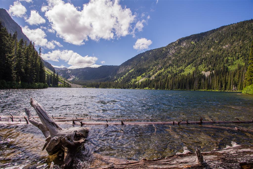
- Falls Lake: Falls Lake is a small mountain lake near the trailhead and makes an easy additional side trip after Zoa Peak if time and conditions allow.
The Route
The interactive map below shows my actual GPS recording. The longer route is the Zoa Peak hike, while the shorter route from the same parking area leads to Falls Lake.
Use the layer control in the upper-right corner to switch between the regular map and satellite imagery.
The Climb to Zoa Peak
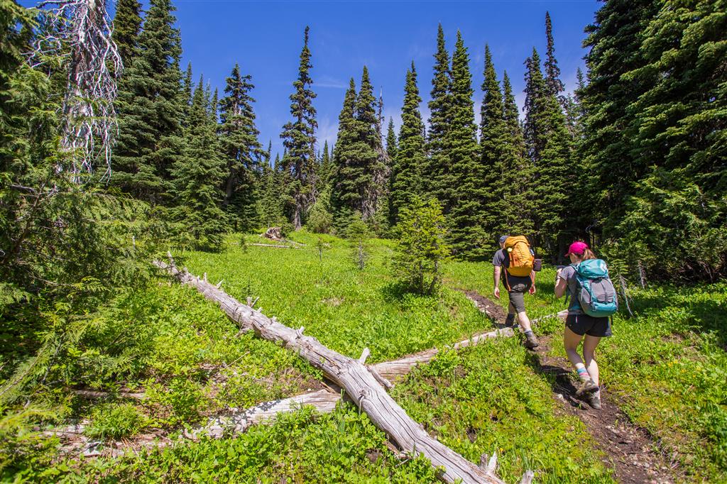
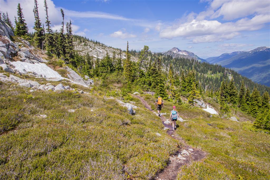
The route begins near the Falls Lake parking area and initially follows old road and trail corridors before climbing steadily toward the higher slopes of Zoa Peak.
When I completed the hike, we saw no other hikers on the Zoa Peak route. The weather was sunny with a steady breeze, which helped keep the mosquitoes under control.
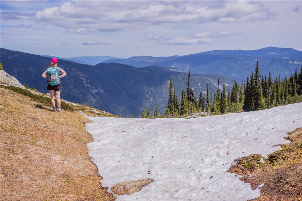
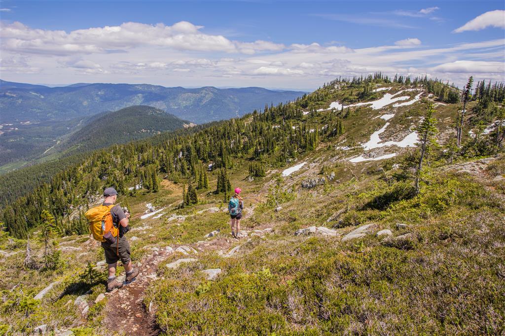
The first patches of lingering snow appeared around 1,750 m. Higher up, snow became more frequent but remained easy to cross during my visit.
Mountain Views
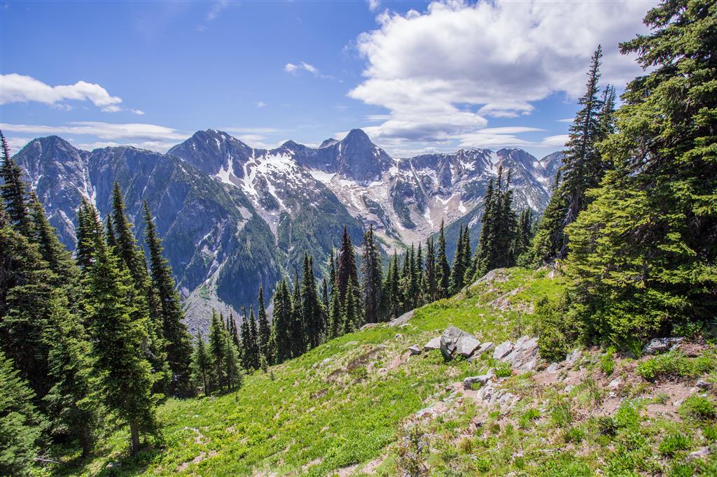
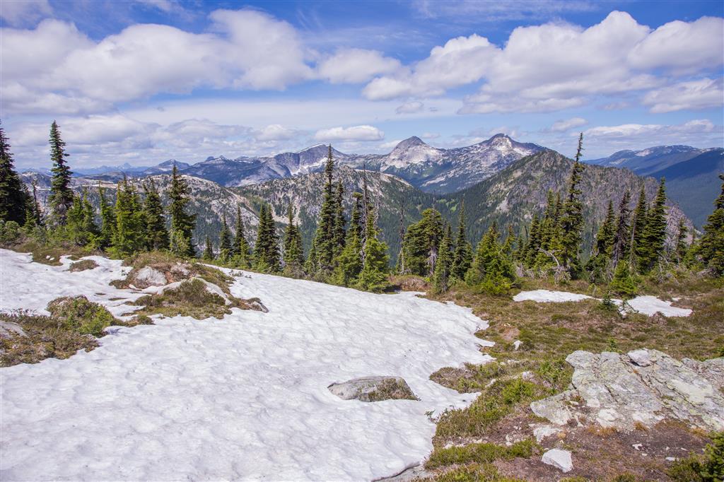
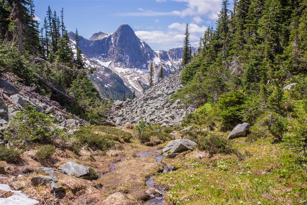
The higher slopes provide increasingly expansive views over the Coquihalla Summit area. The surrounding mountains have a dramatic mix of forested valleys, exposed rock, alpine ridges, and lingering snow.
Lingering Snow
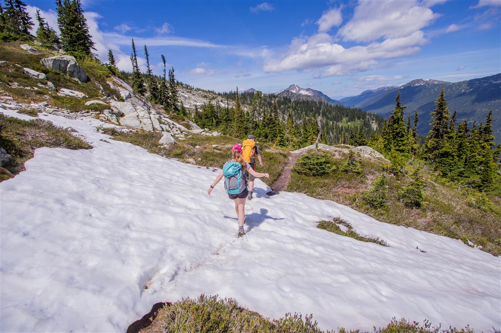
Snow often remains at higher elevations well into the hiking season. During my June hike, snow patches became common above approximately 1,750 m.
The snow was firm but straightforward during my visit. Conditions can be very different in another year, particularly earlier in the season, when traction or snow-travel equipment may be necessary.
Zoa Peak
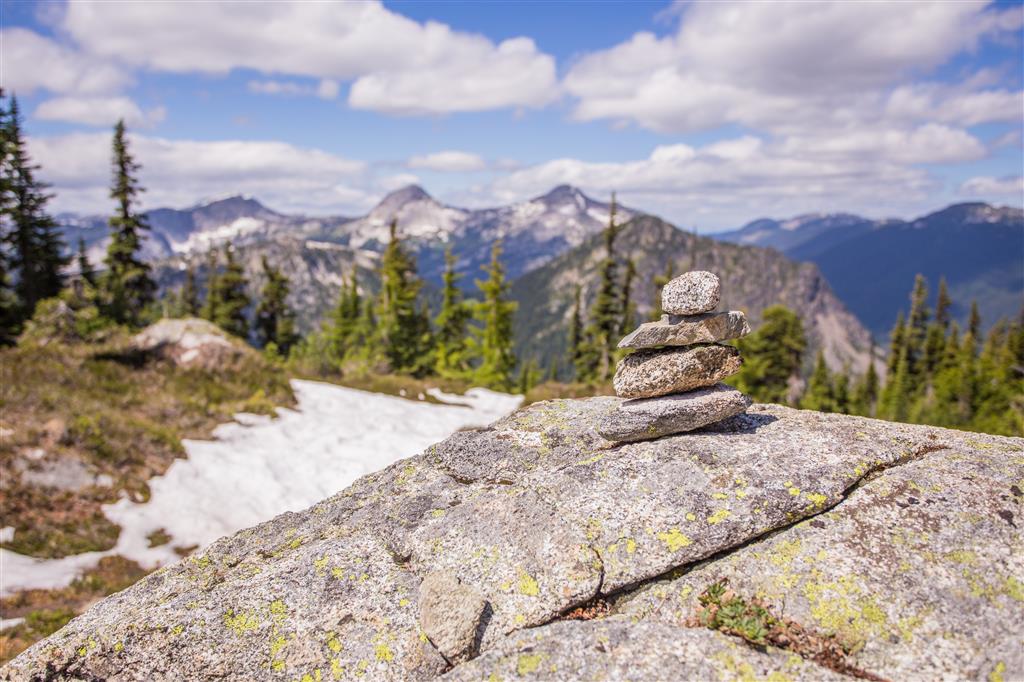
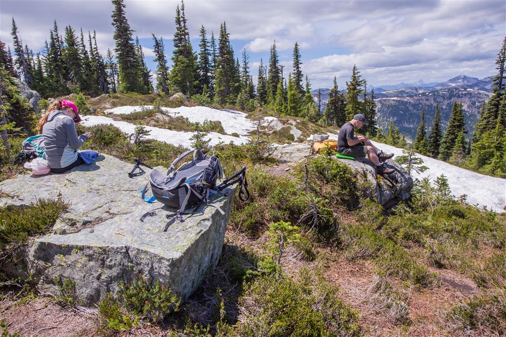
The GPS track reaches approximately 1,853 m at the high point of the hike. The summit area is broad rather than sharply defined and provides plenty of places to stop and enjoy the views.
Along the Trail
Wildflowers
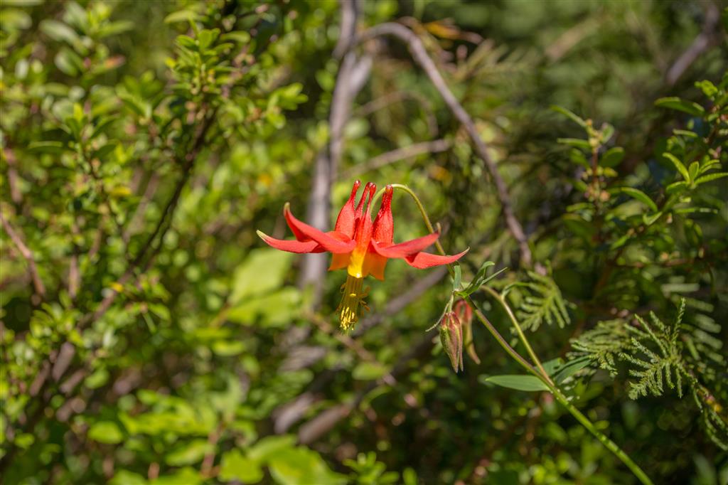
Alpine and subalpine flowers were blooming during my June visit. Flowering times vary considerably with snowmelt and spring weather.
Falls Lake
After returning to the parking area from Zoa Peak, we still had some time, so we added the short walk to Falls Lake. It was a quiet and scenic way to finish the day.
Falls Lake also has a small rustic backcountry camping area. BC Parks notes that there are no facilities provided, so campers should be prepared for a basic backcountry setting. :chatgpt-content-reference{index=”4″}
What to Bring
Zoa Peak is a moderate mountain hike, but its elevation, changing weather, lingering snow, and relatively remote location mean that proper preparation is important. I recommend carrying the Ten Essentials.
Carry reliable navigation, a headlamp, sun protection, first-aid supplies, extra food, sufficient water, emergency shelter, and extra warm and waterproof clothing. There is no potable water provided in the recreation area, so bring enough water for the day or carry an appropriate treatment method. :chatgpt-content-reference{index=”5″}
Download an offline map before starting, carry a fully charged phone and backup power, and leave your route and expected return time with someone you trust.
Leave No Trace
Please follow Leave No Trace principles throughout the Coquihalla Summit Recreation Area. Stay on established trails and durable surfaces, pack out everything you bring in, do not pick wildflowers, and keep wildlife at a distance.
The recreation area contains several sensitive ecosystems and rare species, so minimizing disturbance is particularly important. BC Parks asks visitors to remain on designated roads and routes where applicable. :chatgpt-content-reference{index=”6″}
Before You Go
Check current BC Parks Coquihalla Summit Recreation Area information before travelling. Access to Zoa Peak and Falls Lake can be affected by erosion, construction, snow, and seasonal conditions.
Vehicle break-ins have also been reported at the Falls Lake trailhead parking area. BC Parks recommends leaving valuables at home or carrying them with you rather than leaving them in the vehicle. :chatgpt-content-reference{index=”7″}