Category Archives: Buntzen Lake Blog

Buntzen Lake Tunnel


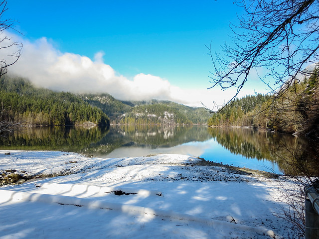
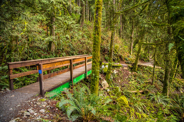
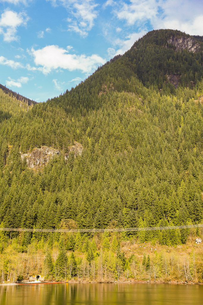
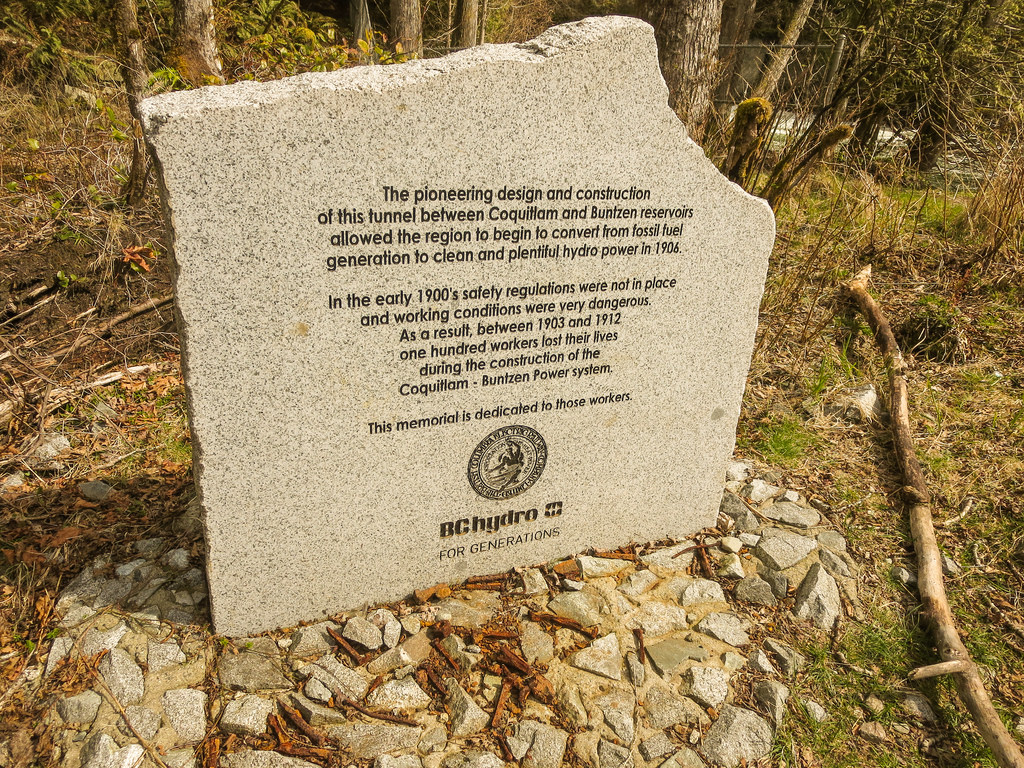
Apart from the nature, this is one of the most interesting things to see at Buntzen Lake.  Can you imagine, boring a 3.6 km tunnel through a mountain! The tunnel starts at Coquitlam Lake, goes to under Eagle Mountain to a maximum depth of 1.2 km and terminates into the north end of Buntzen Lake. Construction started in January 1903 and was completed in April 1905.  The error in alignment was only 7/8 inch and 1.75 inches in grade. The tunnel project also involved raising the level of the dam on Coquitlam Lake.

UPDATE: 8 JULY 2015:

As the region’s reservoir’s are depleting fast, Metro Vancouver has asked BC Hydro to set aside 68.2 billion litres of water and has budgeted $862,000. This means no or very low flow through the tunnel into Buntzen Lake in the summer of 2015.

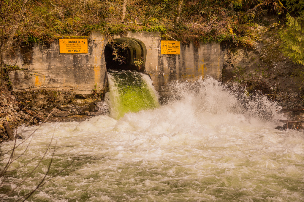
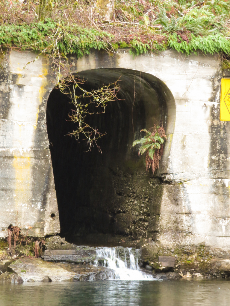
The photo below shows a heavy flow through the tunnel…

Tunnel 1

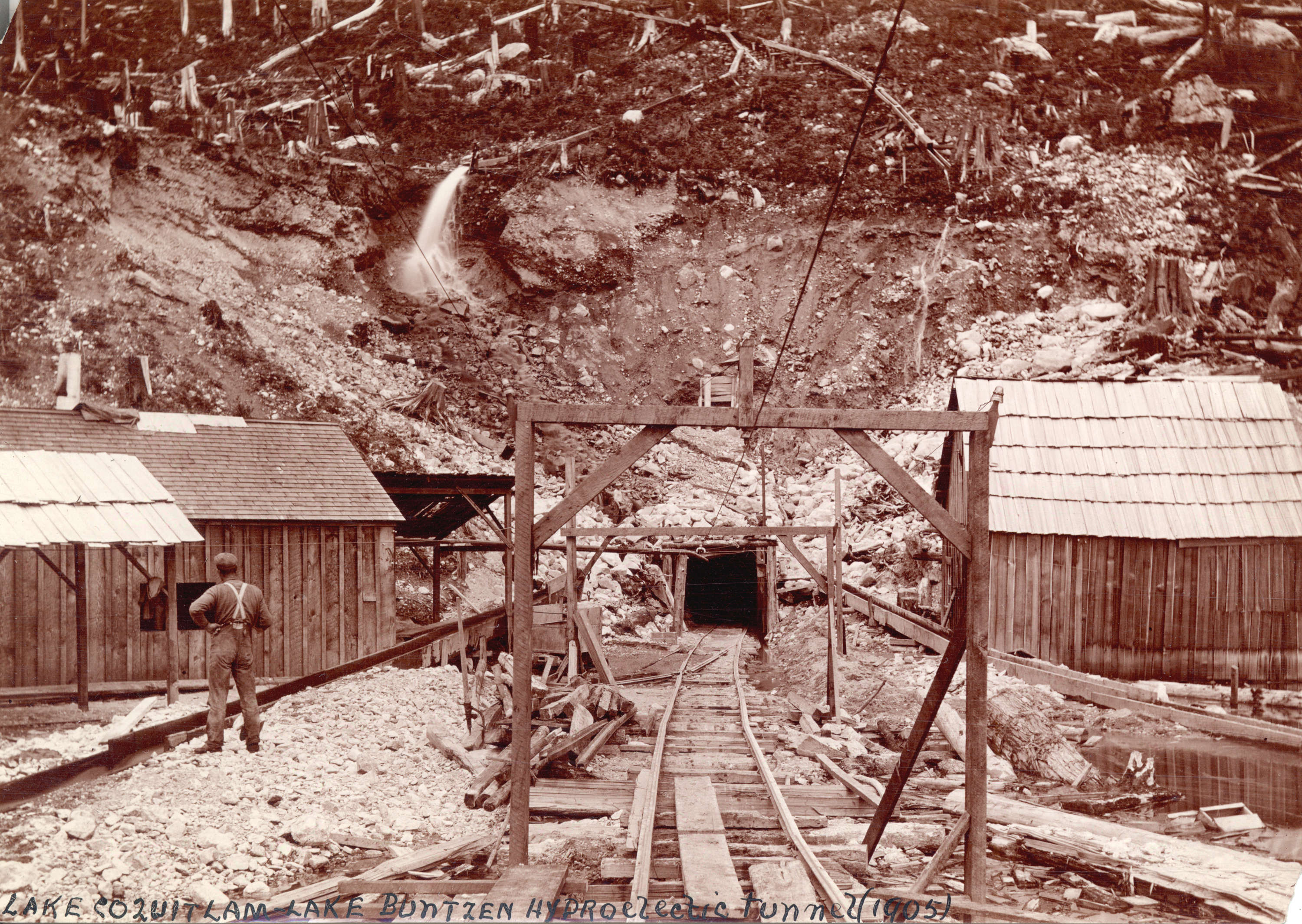
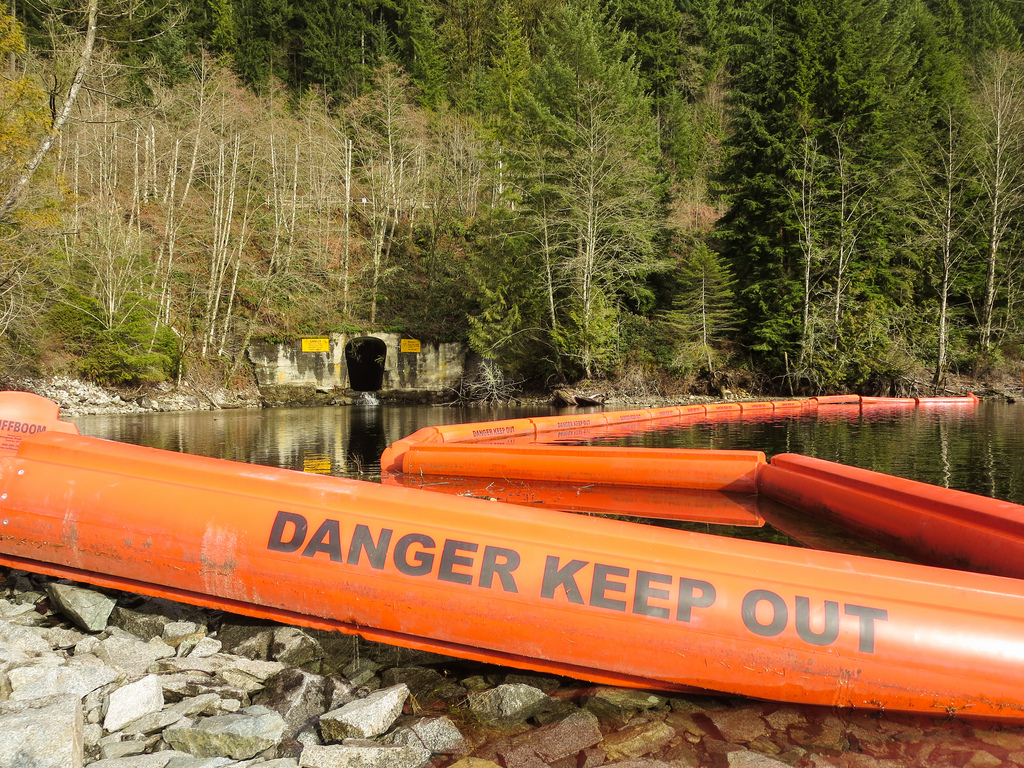
The contractor, Rannie & Campbell, employed over 175 men and sometimes up to 300 ! They worked 8-hour shifts, days nights and holidays. Interesting note: the tunnel was subsequently doubled in size. The photo below shows the tunnel at the base of Eagle Mountain to show perspective…

Eagle Mountain

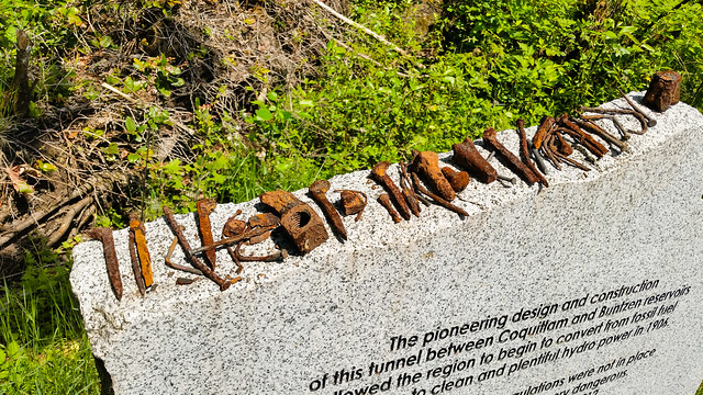
Many workers were killed during the construction of the tunnel and BC Hydro has set up a memorial by the tunnel…

Memorial

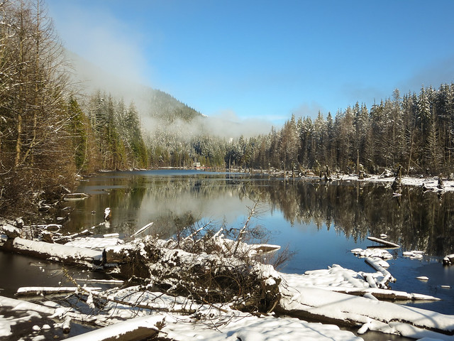
The maximum flow rate through the tunnel is 40 m3/s. Sometimes the flow is very slow in the tunnel, such as in the photo below…

Low flow through tunnel

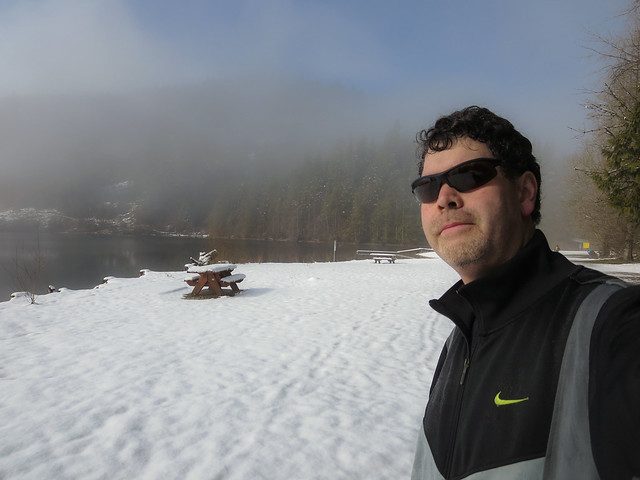
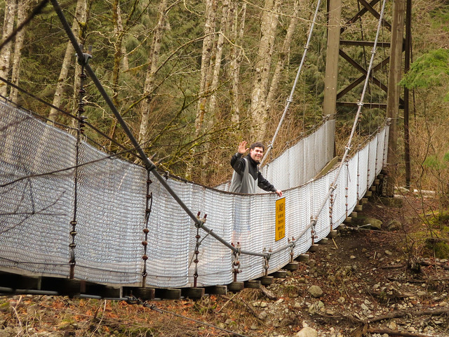
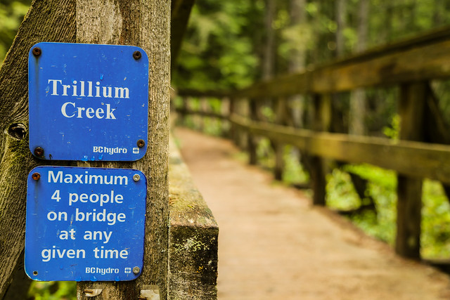
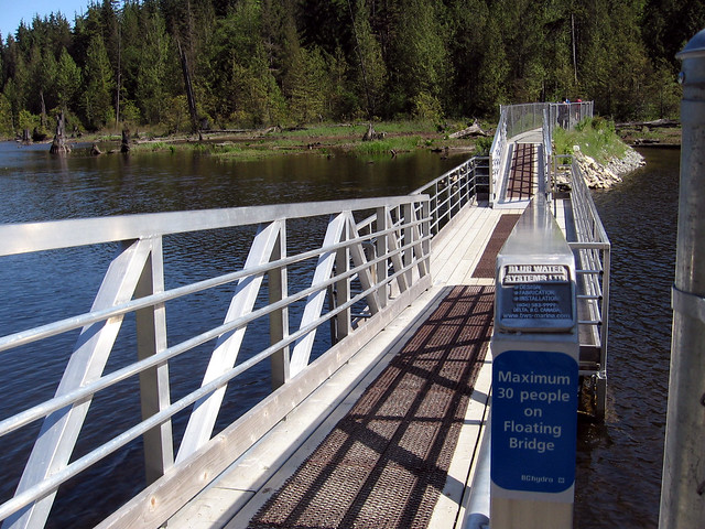
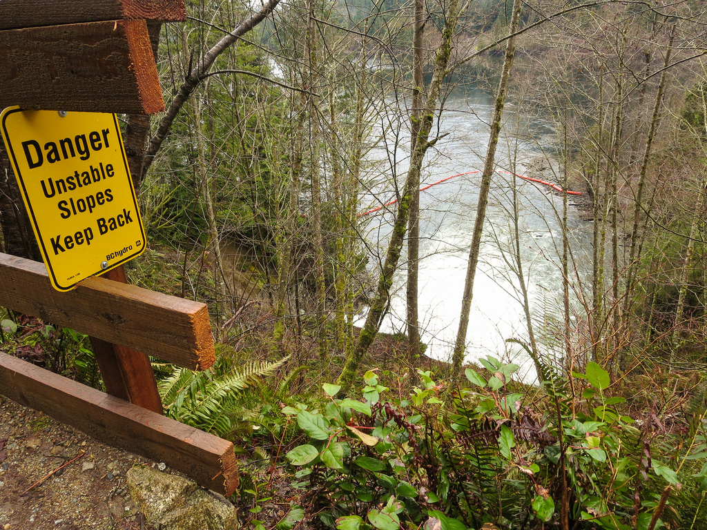
The current can be strong and unpredictable – this is why there are many warning signs as seen below…

Danger

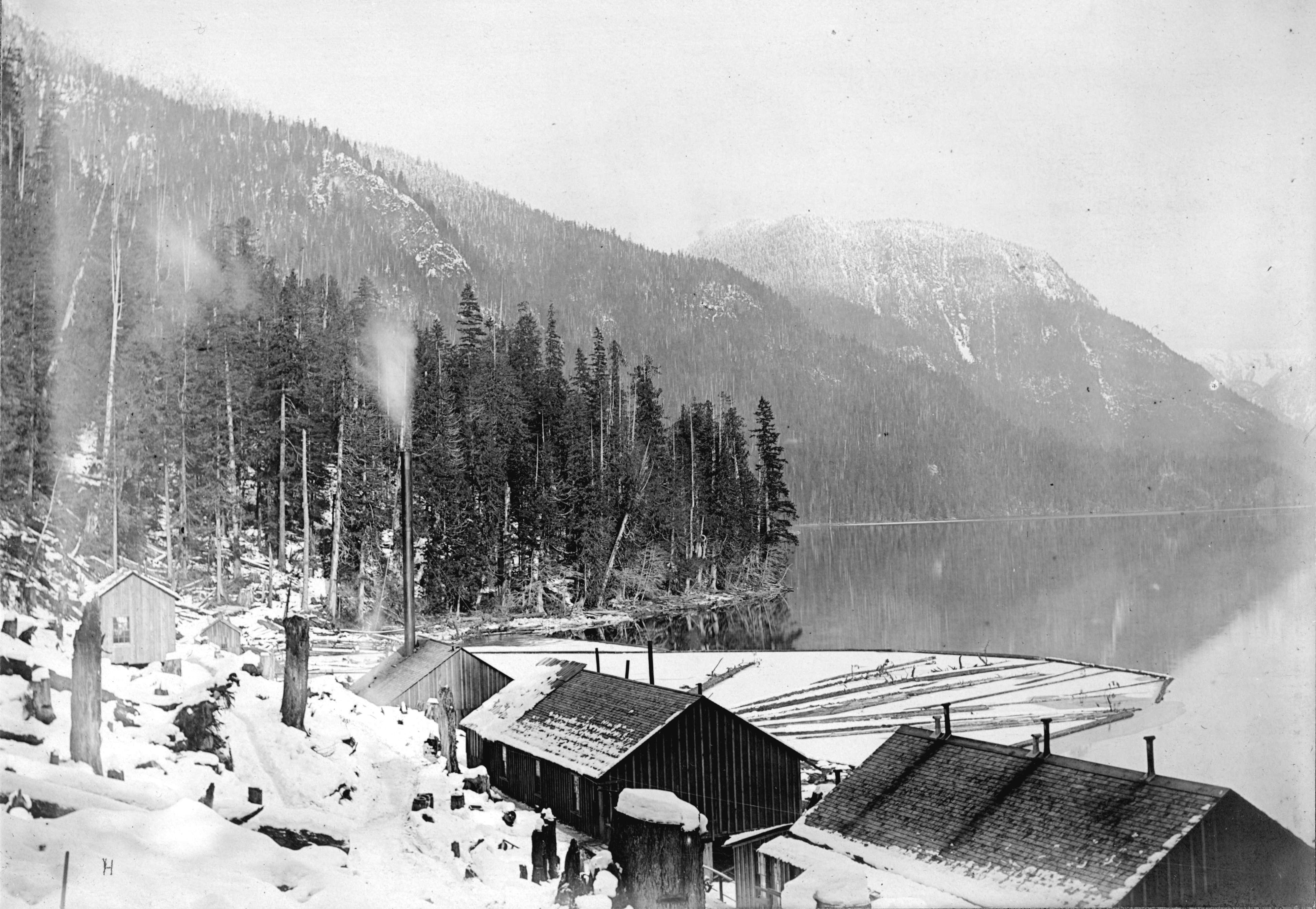
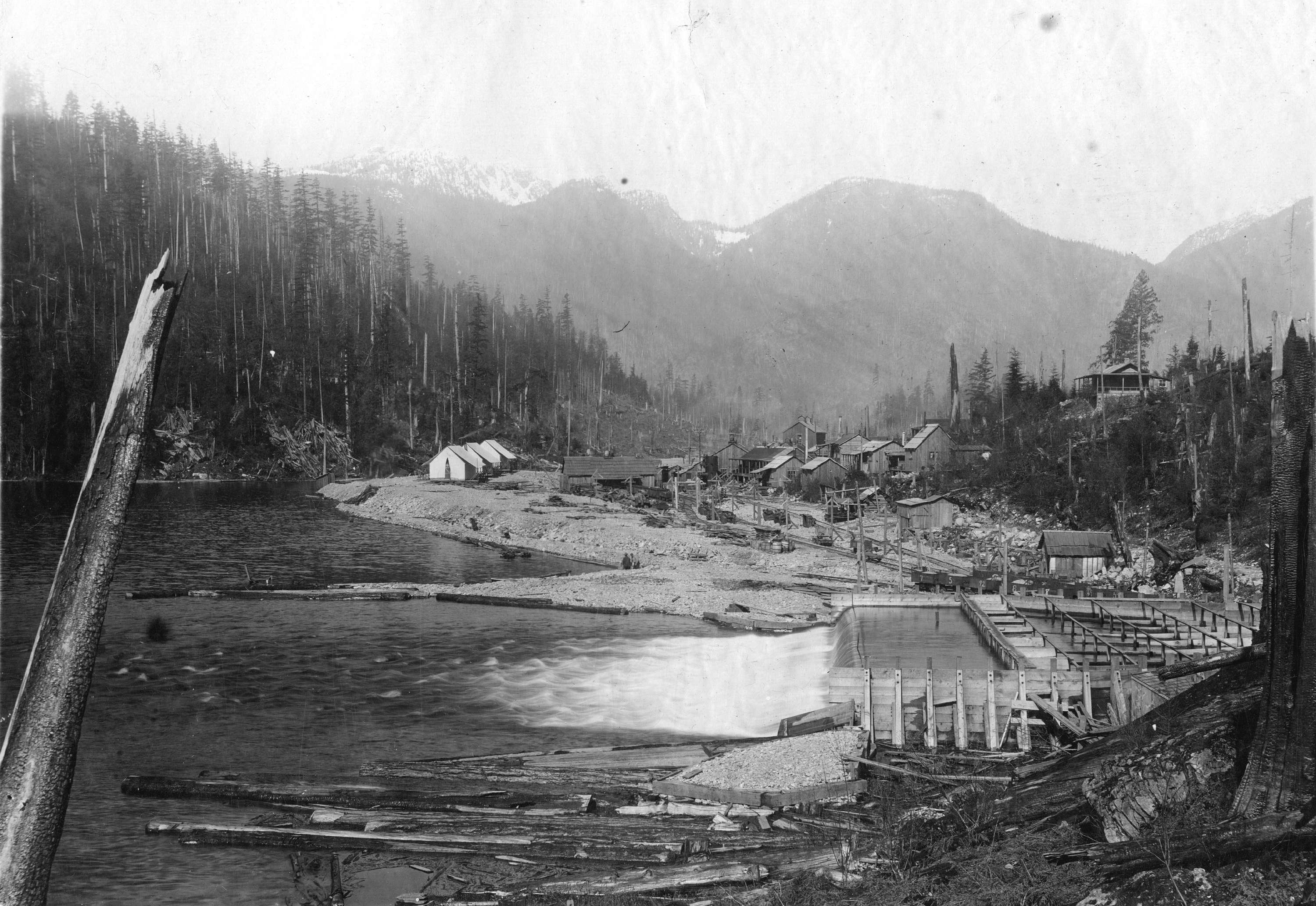
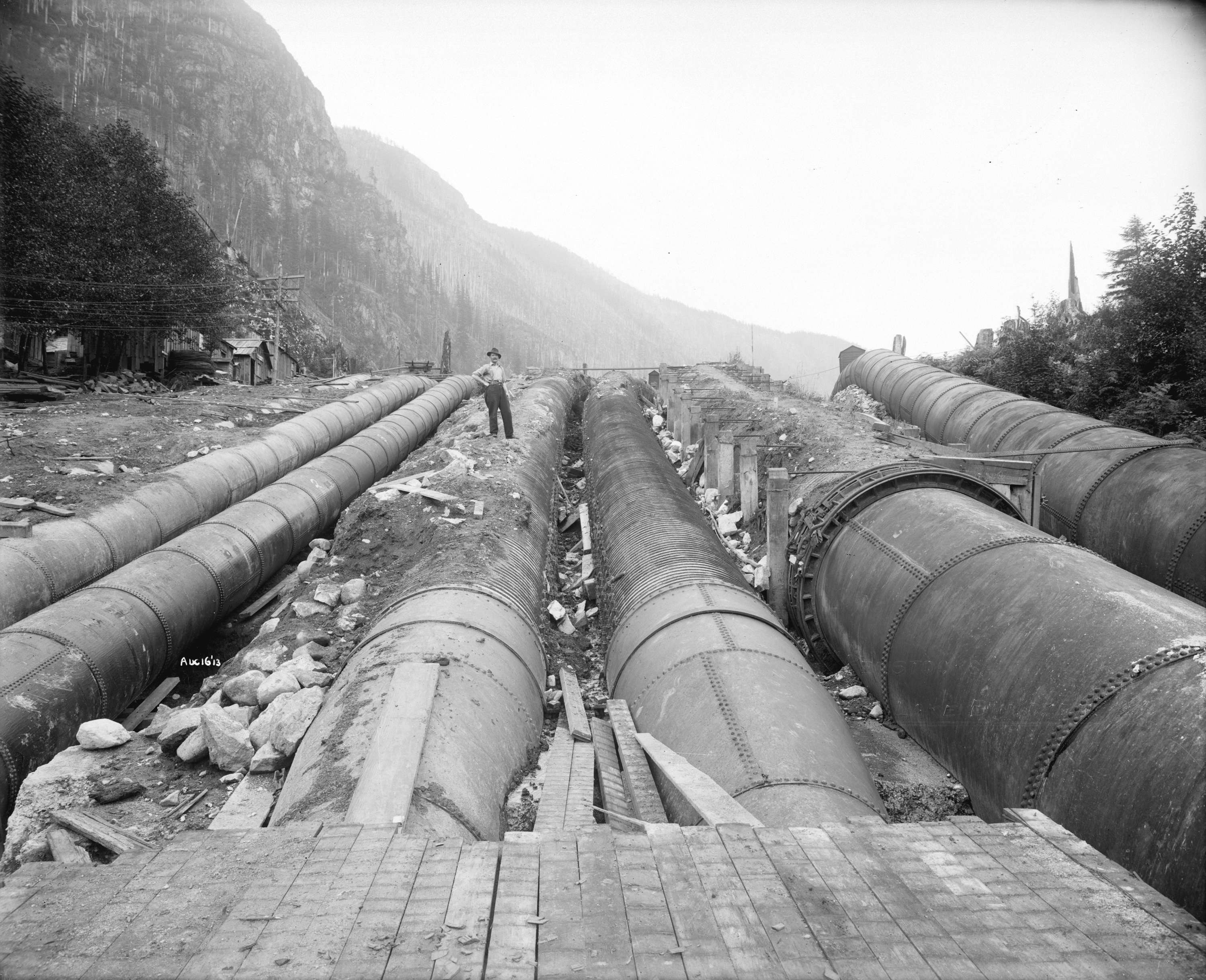
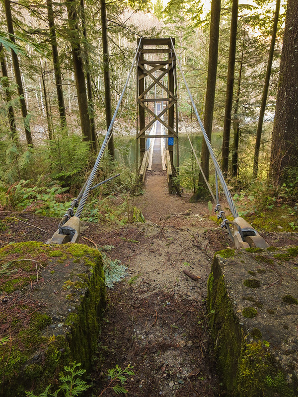
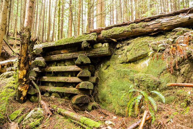
Water from Buntzen Lake (via the tunnel) flows through penstocks down the steep mountain slope to two power plants located on Indian Arm. During construction of the tunnel, there was a tunnel camp set up on the site of the present north beach. The tunnel camp had dwellings and a blacksmith shop. See the tunnel camp below…

Tunnel Camp

See a short video below of a torrent of water flowing out of the tunnel…

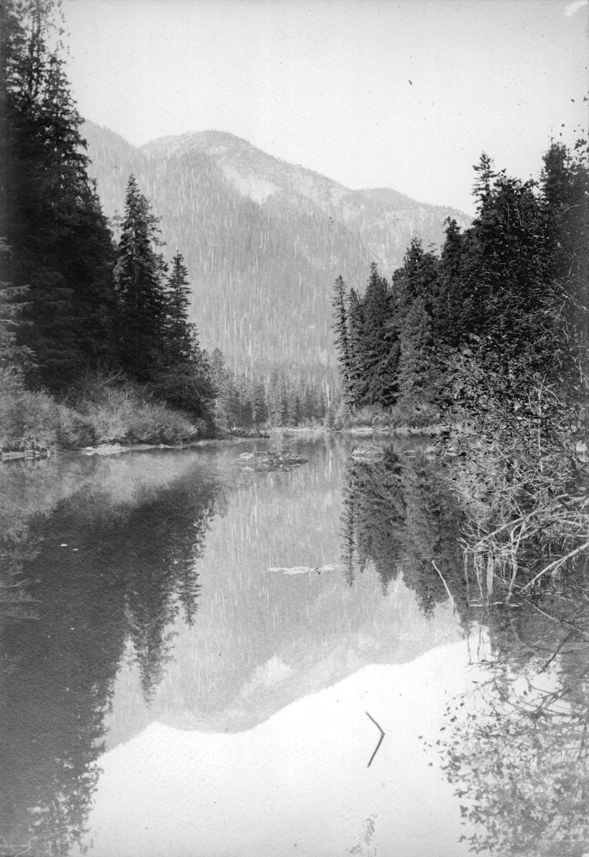
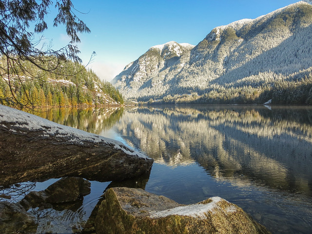
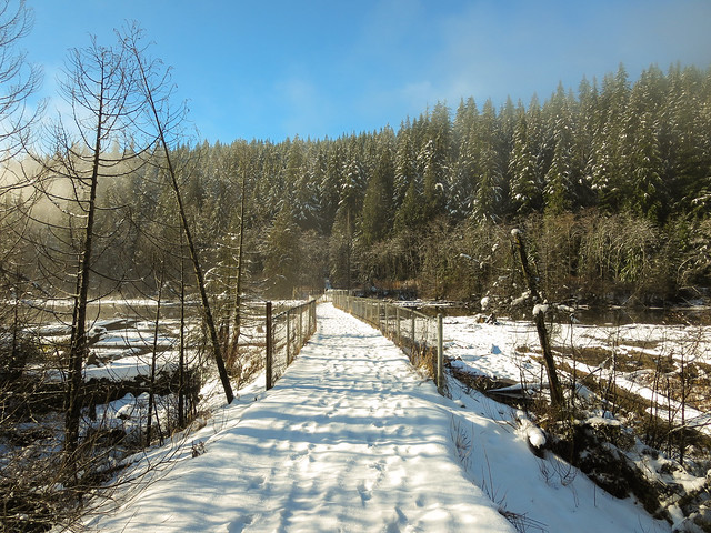
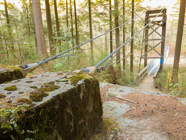
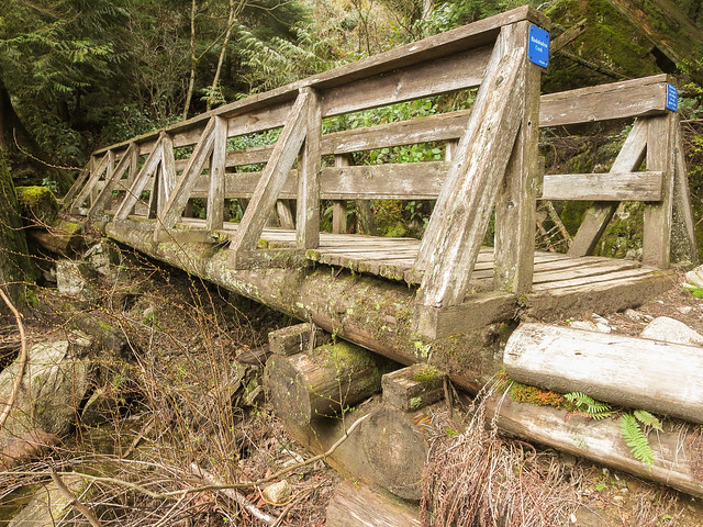
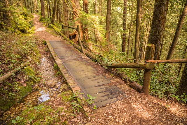
Here’s a photo taken from the trail just above the tunnel…

Above tunnel

Here’s a view inside the tunnel from an explorer.
WARNING: Do not try this. It is illegal and very dangerous as a torrent of water can be released at any time!

Inside the tunnel

Buntzen Lake History in Pictures

As mentioned in the History section, Buntzen Lake’s history as a hydroelectric reservoir dates back to 1903.  The following photos I found online from the City of Vancouver Archives.


Below is a photo of Buntzen Lake near the present North Beach and Suspension Bridge…

View of Buntzen Lake at present suspension bridge

Below is a photo of a large tree being cut down. Note, the springboards used to stand on while the men saw through the tree. Walking around the Lake today, you can still see many large stumps with the springboard notches.

Old tree cutting down


The tunnel at the north end of the Lake was an engineering feat. The image below shows tunnel construction…

Tunnel construction

Thousands of workers worked on the tunnel project and a mini town was built on what is now the North Beach of Buntzen Lake. Below are some photos of the tunnel camp…

Tunnel Camp in the snow


Tunnel Camp and Buntzen Lake b

Tunnel Camp and Buntzen Lake

The area around north beach was recently (May 2014) scanned for artifacts by someone and the artifacts were on display on the memorial. I think this is very cool. Below is a photo of the artifacts…

Artifacts


Large Penstocks, some still seen today, were used to carry water long distances. Below is an old photo of Penstock construction…

Wood Stove Penstocks

Buntzen Lake in the Snow

Over the weekend, we had a nice snowfall. And today, I decided to hike around Buntzen Lake in the snow.

Winter scene at Buntzen Lake

It was a gorgeous sunny day with very few hikers on the trail – I think I saw two or three. Even though it was sunny, the snow was melting from the trees giving me a nice shower ! I didn’t have the foresight to bring my waterproof hat ! Below is a photo of me hiking in the snow.

Me hiking in the snow

Following the weekend weather, there were many branches on the trail, which I helped to remove and I also shook low hanging branches to clear the snow. Below is a photo of me at North Beach.

Me at North Beach

And below is the bridge/jetty (old floating bridge area)…

Approaching the old floating bridge

After over 100 times hiking around the Lake, this is my first time in the snow. The sunny day made it just perfect. Great photo ops. Below is a photo of the Lake from the old floating bridge…

View from old floating bridge

I had taken my new micro spikes, but they kept slipping off – I guess that’s what you get for buying the cheap ones ! I was alright anyways – not too much slipping ! Below is a serene photo of the snowy trail…

Buntzen Lake trail in the snow

Here is a view of the lake from the dog park on south beach…

View from South Beach

Suspension Bridge

The Buntzen Lake Suspension Bridge is located in a 250 m long canal between Buntzen Lake and McCombe Lake.  See the location HERE.  If you are walking clockwise (west side of lake first) around the lake, you have completed about 60% of the full lake loop when you reach this location.

The 50 m long suspension bridge was constructed by: C.F.S.M.E. – QL3-9105 (F) Field Engineer, CFB Chilliwack and designed by Siefken Engineering.  It officially opened 5 June 1992.

Buntzen Lake Suspension Bridge

A sign on the bridge states ‘maximum 4 people on bridge at one time’ That seems a little overly cautious. I’ve seen between 10 and 15 people on the bridge. The photos below show a suspension bridge bolt and cable and next below, the west anchors.

Suspension Bridge Bolt & Cable

Suspension Bridge anchor

I’ve seen many dogs walk trepidly across the bridge due to its shaking. Its kind of funny to see a dog stop in its tracks or head back !!

Below is a photo of me on the bridge…

On the bridge

And below is a view looking south down Buntzen Lake on fine sunny day…

View from Suspension bridge

Below is one more view of the suspension bridge…

Suspension Bridge

Bridges of Buntzen Lake

Buntzen Lake is situated between Eagle Mountain to the east and Buntzen Ridge to the west.  The area receives up to 4,000 mm (13 feet) of precipitation annually and Eagle Mountain can accumulate a significant snowpack over the winter months.  There are numerous creeks to bring this water into Buntzen Lake. And when you have a creek, you need a bridge !

Below is Trillium Creek, which is the longest wooden bridge on the trail…

Trillium Creek

The naming of the creeks around Buntzen Lake is alphabetical (if going in a counter-clockwise direction), but not all letters are represented. Also, there are signs on each bridge stating the maximum number of people is 4 (seems a little overly cautious).

Trillium Creek sign

The bridge over the largest creek (which is Buntzen Creek) is not named.

The named bridges are:

East Side:

• Birch
• Cypress
• Dogwood
• Elderberry
• Fir
• Gooseberry
• Hemlock
• Ivy
• Juniper
• Kinnikinnick
• Lodgepole
• Maple
• Ninebark
• Oregon Grape
• Poplar
• Rhododendron

West Side:

• Sitka
• Trillium (longest wooden bridge)
• Umbrellawort
• Valentine
• Willow
• Xanthoria

And of course, we cannot forget the suspension bridge at the north end of the lake.

There used to be a floating bridge across the far south end of the lake as seen below. This photo is from 2005…

Buntzen Lake 002

But now it’s mostly a land bridge as seen below…

Bridge

There remains a small floating bridge section as seen below…

Only 30 people ???

Some of the bridges are new and have steel girders, like the one below…

Queen's Cup Creek

And some bridges are old and are made entirely of wood, like the one below…

Old bridge

I don’t know if I can call the next one a bridge, but its like a bridge. This is on the Diez Vistas Trail…

Old Bridge

The next bridge is a log bridge and it’s also on the Diez Vistas Trail…

Log bridge

Here is a very shallow bridge on the Lakeview Trail

Old bridge

The next photo isn’t really a bridge, but its more like a short land bridge – just something to reinforce the trail…

Underside of Land bridge on trail