All posts by admin

Zoa Peak and Falls Lake


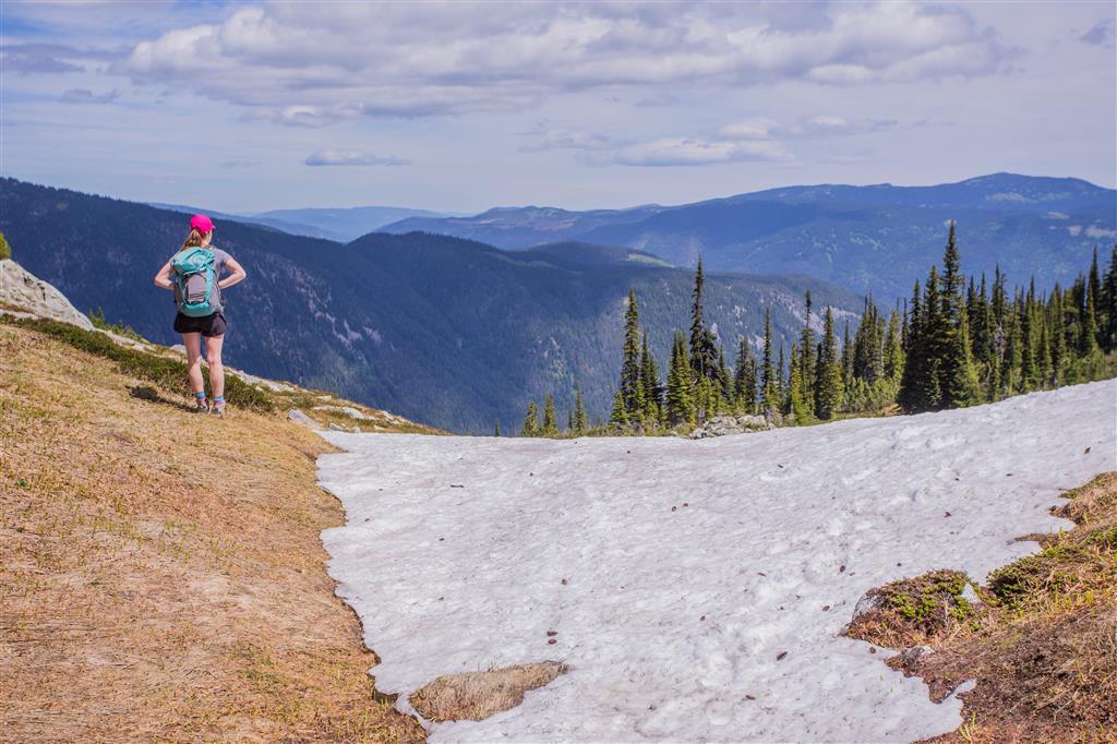
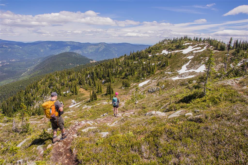
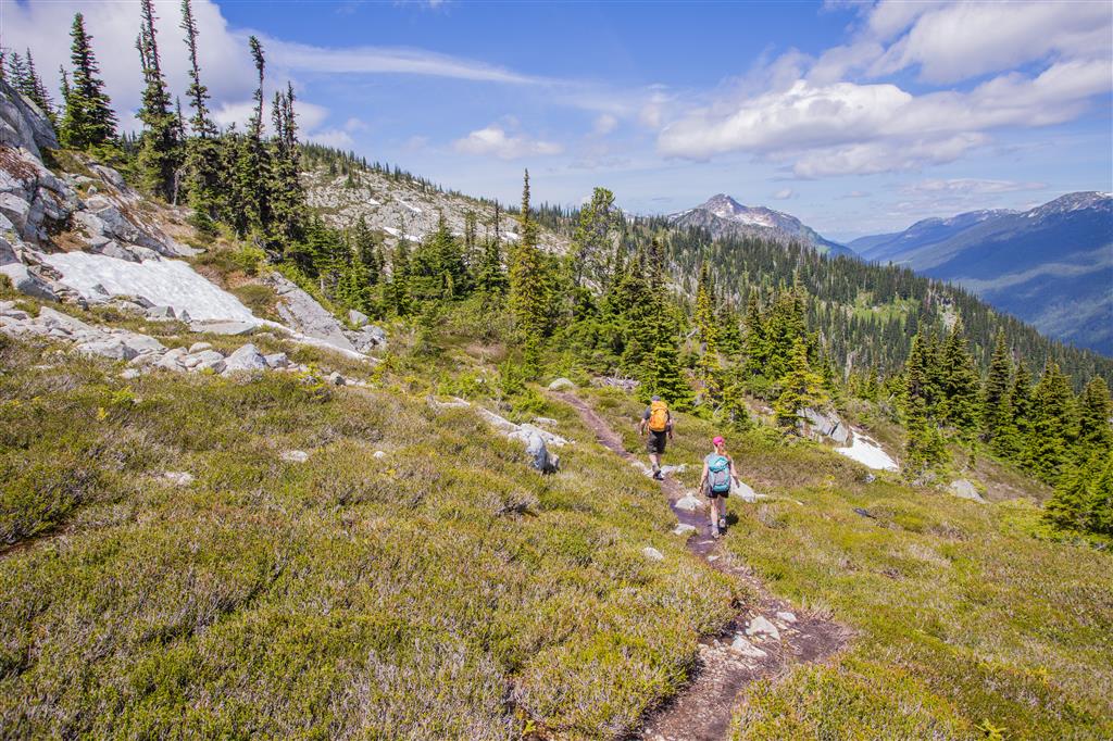
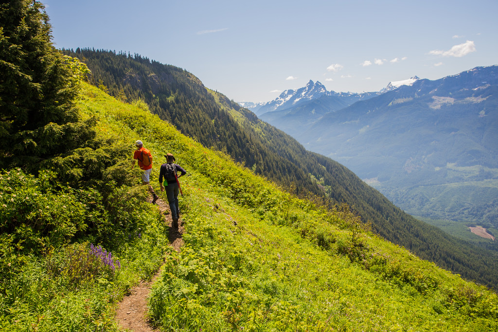
Today was my first venture into the Coquihalla Recreation Area and I did Zoa Peak. Once back at the car, we had some extra time, so we did the quick 1 km trip to Falls Lake to check that out.  The most famous peak in this area is Yak Peak with its exposed granite exposure highly visible while driving the Coquihalla Highway. On our hike today, we saw no one on the Zoa Peak trail. We saw a group of 5 just returning from Falls Lake when we were back at the car. The weather was very nice – a good breeze all day and plenty of sun. The mosquitoes were out and I got a few bites, but the wind kept them at bay most of the day. We encountered our first little snow patch at 1750 m and after that there were plenty more snow patches – not difficult or deep to traverse – just nice to make things more interesting. The alpine flowers were in bloom and the views were amazing. All in all, it was a great day to do this hike.

The stats:

Distance: 10 km (return)
Low point: 1229 m
High point: 1853 m
Elevation gain: 624 m
Cumulative Elevation gain: 872 m
Trailhead: 49° 36’ 44.6” by  121° 03’ 54” (Google Map)

The route…

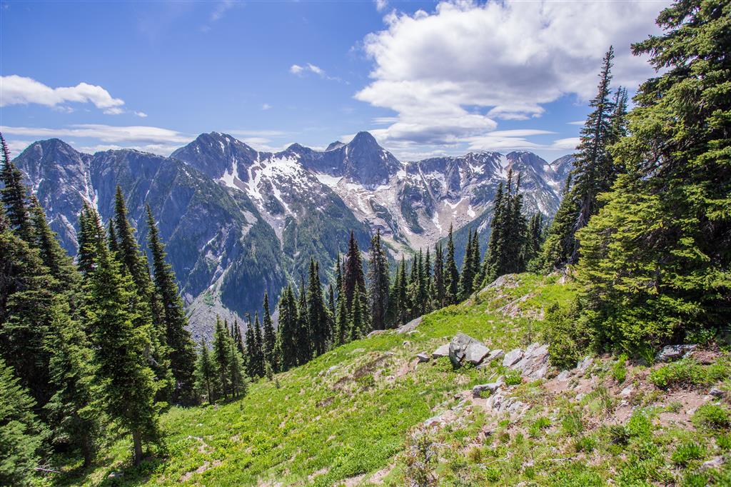
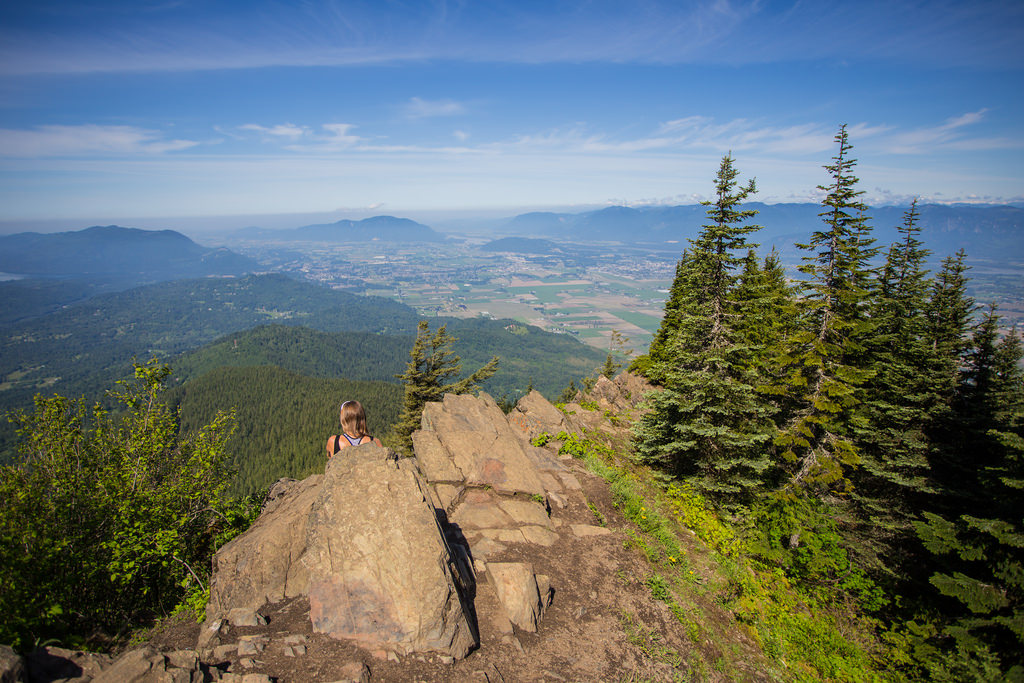
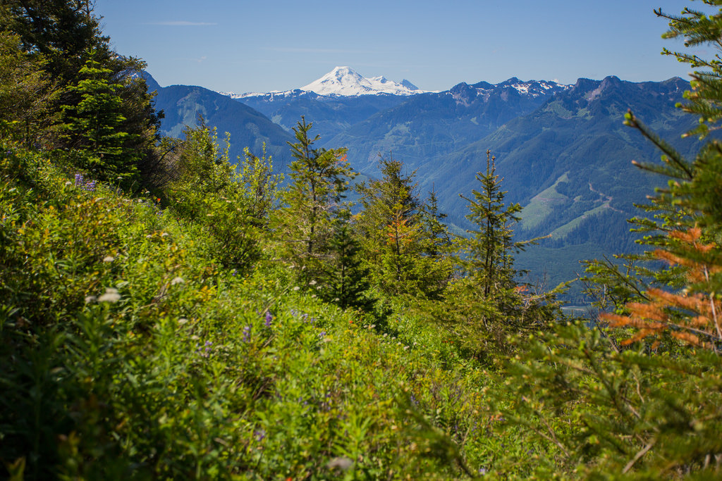
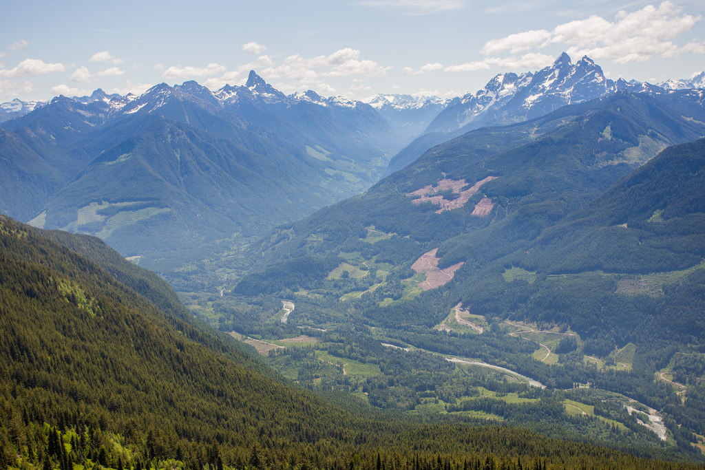
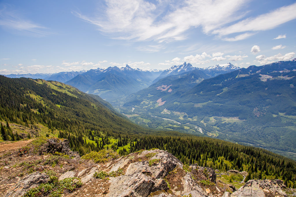
Here’s some of the amazing views we had today…

View

View 3

View 2

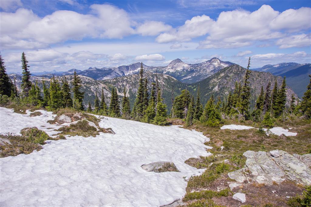
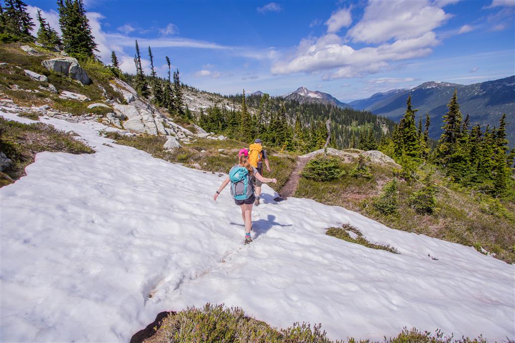
It was nice walking in the snow…

Traversing across the snow

Admiring the view…

Admiring the view

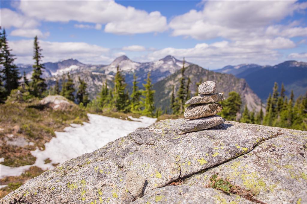
Someone made a little Inukshuk at the top…

Inukshuk

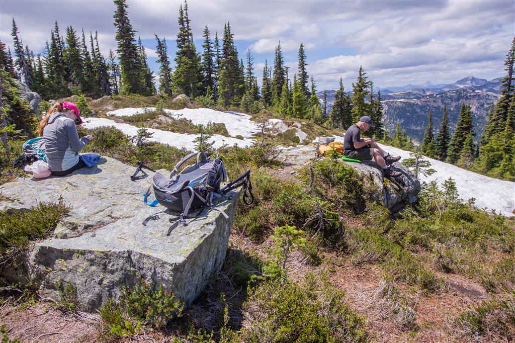
We stopped for a break at the top and we also has cell signals !!

Rest stop

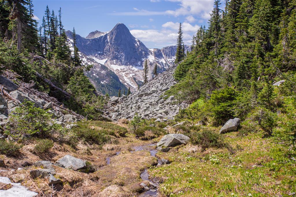
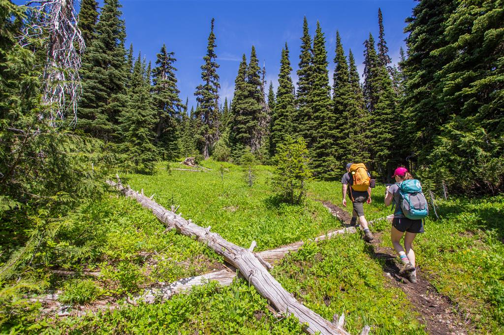
Here are some trail photos…

Trail photo

Trail photo 3

Trail photo 2

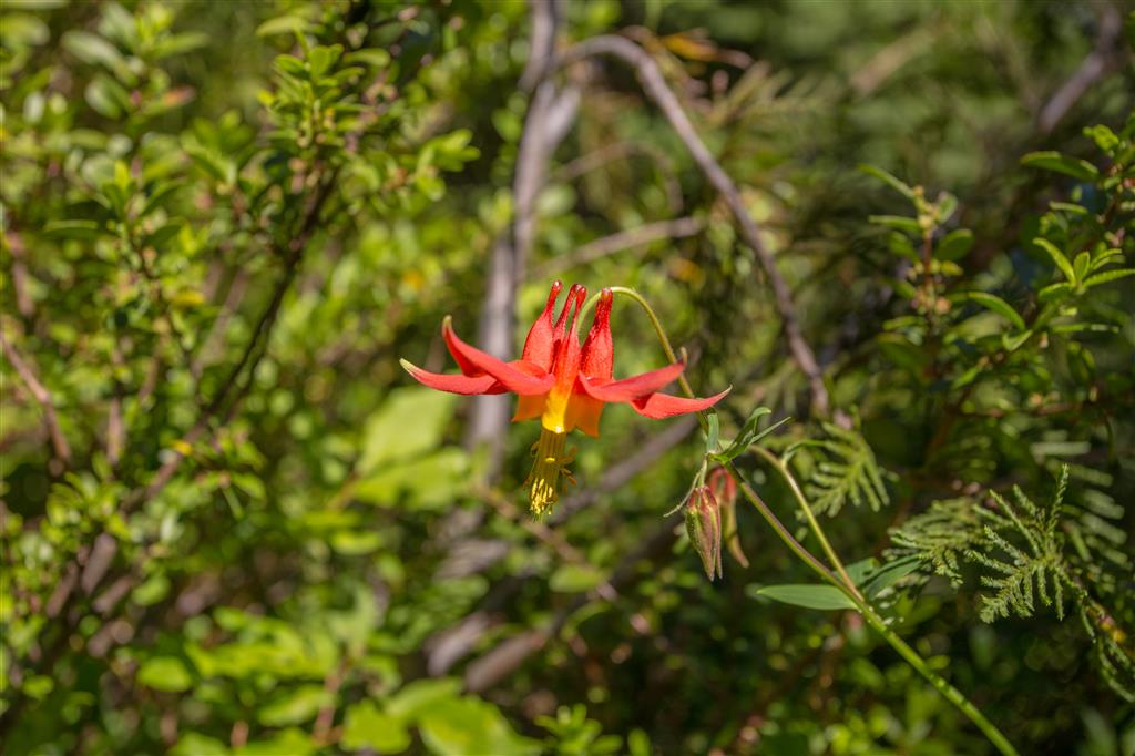
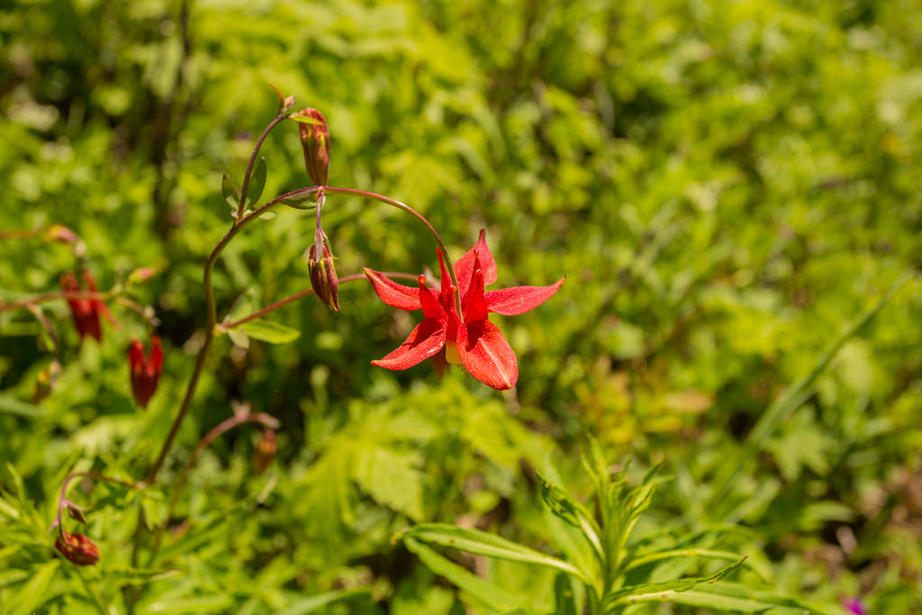
The alpine flowers were in bloom. Here is a Western Columbine…

Western Columbine

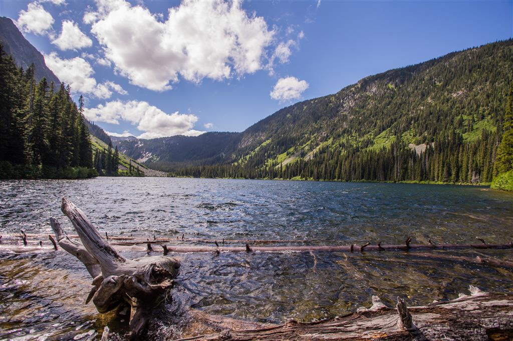
And I’ll finish with the tranquil Falls Lake…

Falls Lake

★★★★★★★★★★★

Before heading out on your hike, make sure you are well prepared. This means, having the TEN ESSENTIALS. It is also important to leave a trip plan (route details and estimated return time) with someone you trust.

Bring your smartphone, fully charged and put it in airplane mode while hiking. I always bring back-up battery packs for extra piece of mind. It is highly recommended that you bring a GPS device; I use my smartphone with a GPS app (Backcountry Navigator). The GPS will work in airplane mode. Learn how to use it before your hike.

For anyone new to hiking, there is a rule to which hikers follow; it is called “Leave No Trace” or LNT. The concept is generally to pack out what you pack in and respect nature, so all future visitors can enjoy what you have enjoyed.
To learn more about LNT, please check out this BLOG by a certified LNT Trainer.

★★★★★★★★★★★

Elk – Thurston

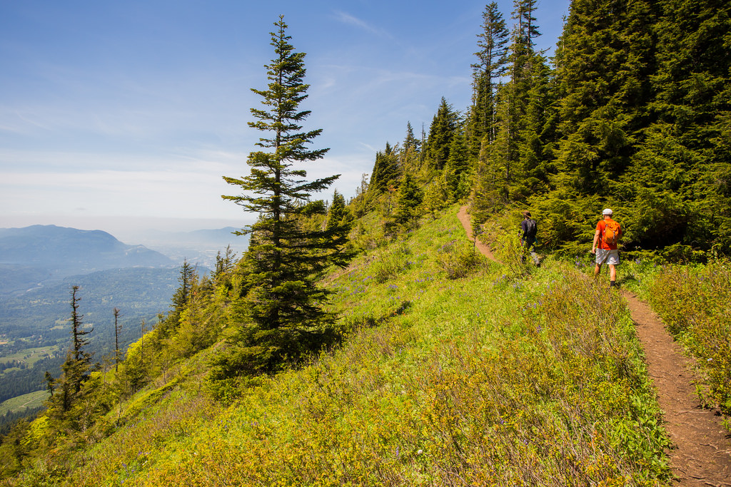
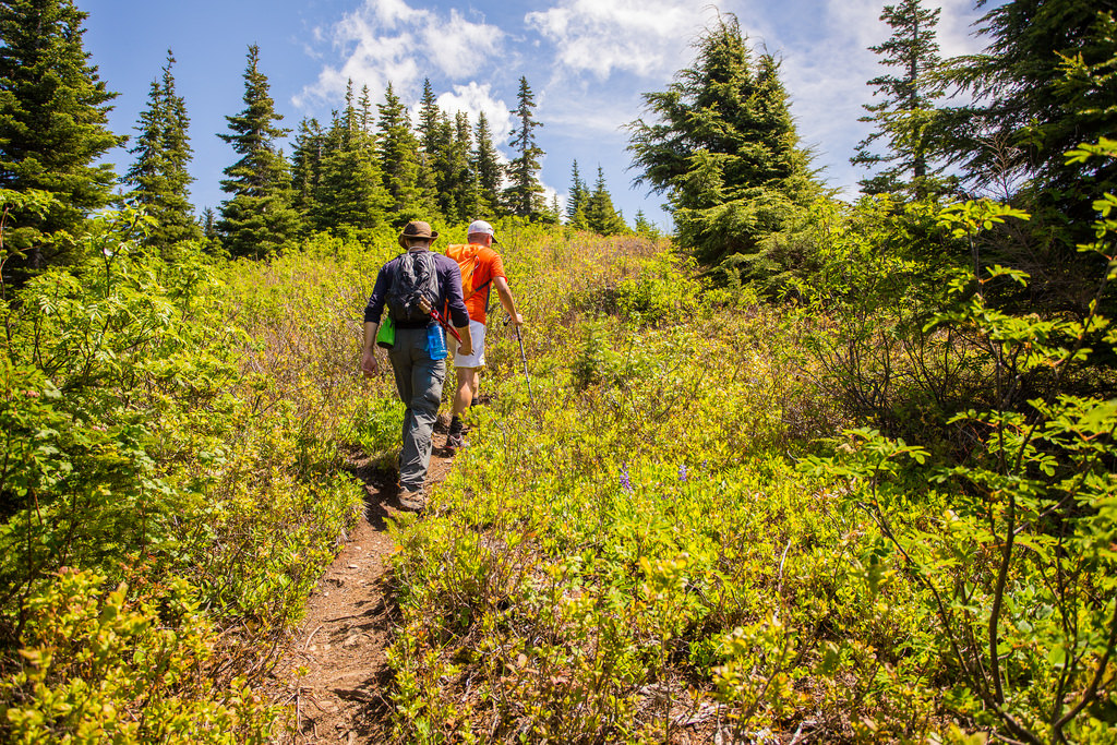
Back to Chilliwack for another classic hike. Today was the first day of a ‘heat wave’, so I thought it would be good to get out before the temps were supposed to rise on the weekend. It’s also nice to do this hike on Friday and beat the masses.  On the way up, our group of 3 only saw one other hiker – a fast pregnant woman ! She kicked our butts up there. We would eventually meet more people on the traverse back.  There are amazing views of the Fraser Valley, the Chilliwack River Valley, Slesse Creek Valley and many local mountains. Temps were mid 20’s in the alpine environment, but dipped to a more refreshing temperature in the forest. As there are long stretches in the sun, we did get plenty of sun. The alpine flowers were in bloom and the colours (red, orange, blue, violet, white, yellow) were amazing. We returned to a hot car and the temperature was high 20’s.

The stats:

Distance: 14 km (return)
Low point: 616 m
High point: 1573 m
Cumulative Elevation gain: 1220 m
Calories burned: 3610
Trailhead: 49° 06’ 17.8” by  121° 49’ 15” (Google Map)

The route…

Here’s a nice view of the Fraser Valley…

View of Fraser Valley

Mt. Baker…

Mt. Baker

Slesse Creek Valley and Chilliwack River Valley…

Chilliwack River Valley 2

Chilliwack River Valley…

Chilliwack River Valley

Some Trail photos…

Trail 2

Trail Pic

Trail

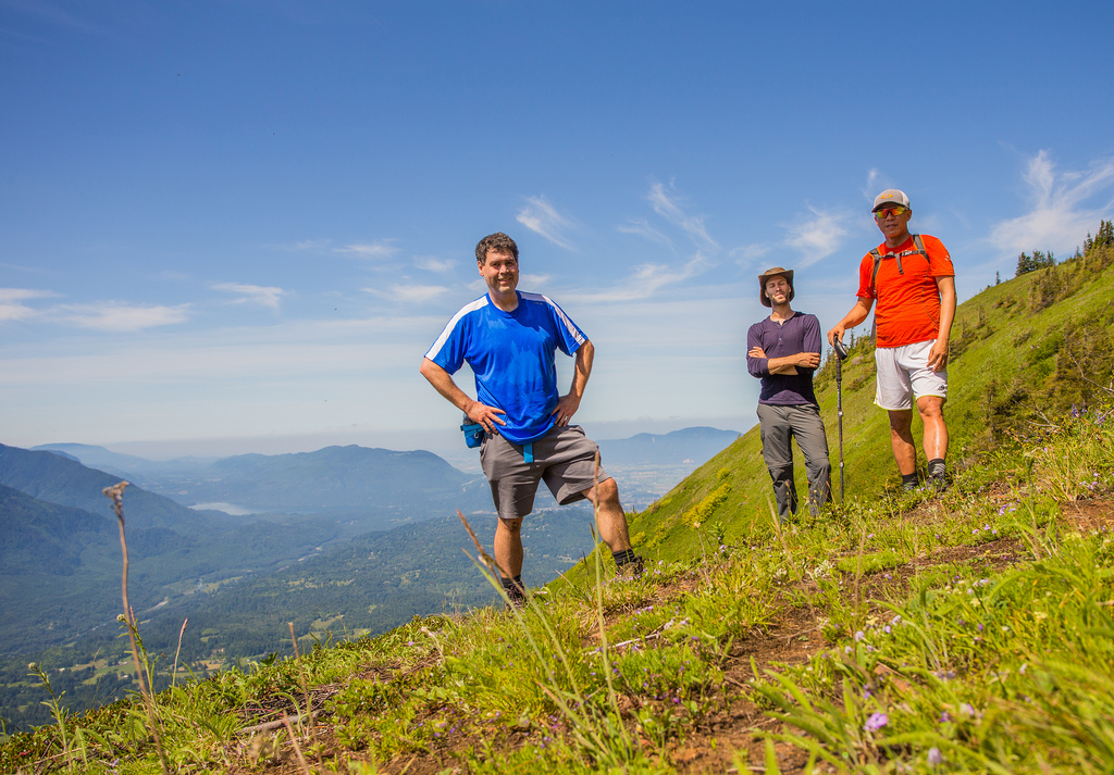
Here’s a group photo…

Group Photo

Some flowers…

Purple flowers 2

Purple flowers

Red Flower

Western Columbine

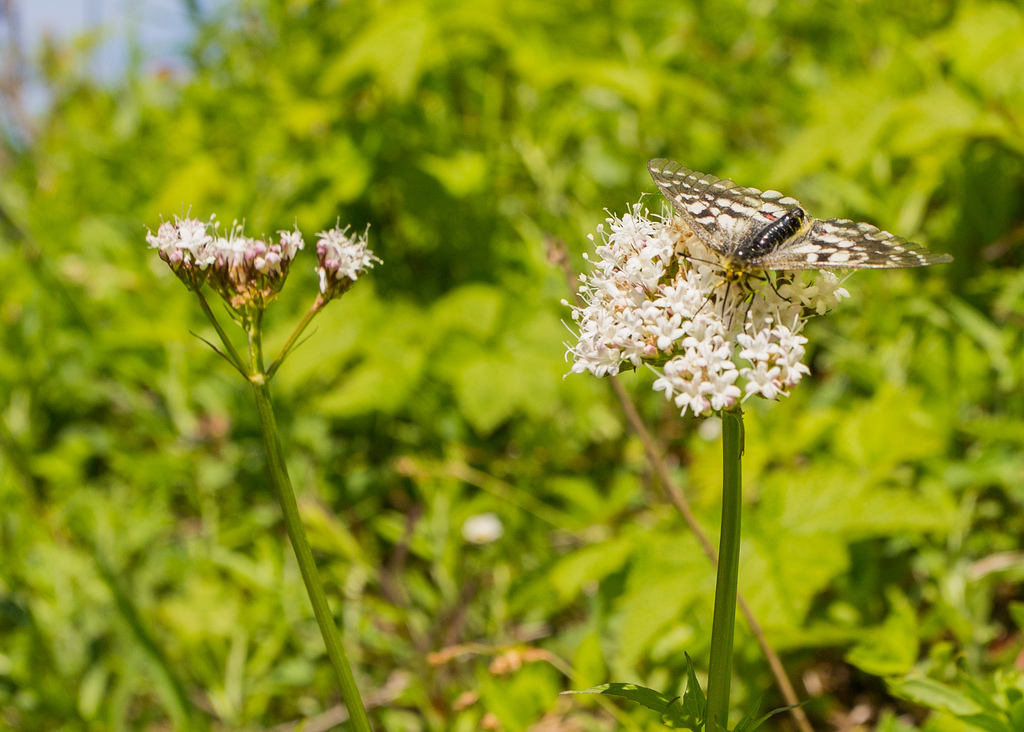
Here’s an interesting bug, which is like a moth and a butterfly…

Moth

★★★★★★★★★★★

Before heading out on your hike, make sure you are well prepared. This means, having the TEN ESSENTIALS. It is also important to leave a trip plan (route details and estimated return time) with someone you trust.

Bring your smartphone, fully charged and put it in airplane mode while hiking. I always bring back-up battery packs for extra piece of mind. It is highly recommended that you bring a GPS device; I use my smartphone with a GPS app (Backcountry Navigator). The GPS will work in airplane mode. Learn how to use it before your hike.

For anyone new to hiking, there is a rule to which hikers follow; it is called “Leave No Trace” or LNT. The concept is generally to pack out what you pack in and respect nature, so all future visitors can enjoy what you have enjoyed.
To learn more about LNT, please check out this BLOG by a certified LNT Trainer.

★★★★★★★★★★★

Lakeview Trail, McCombe Lake and Swan Falls


The original forecast for today was sunny with a high of 19. The morning of the hike, the forecast changed to sunny breaks in the afternoon. However, we saw no sun today ! It was overcast all day, but very comfortable temperature wise. This route is a slightly longer variation of the Buntzen Lake and Swan Falls route.  Our group of 4, set off at 8:45 am and made our way to the south end of Buntzen Lake, over the Floating bridge. At the Pumphouse, we choose the Lakeview Trail, which is a highly underused trail. After Lakeview Trail, we headed north on the Old Buntzen Lake Trail past McCombe Lake, the old intake station, the Buntzen Dam and the massive aquiduct. After a short walk on the service road, we reached the Swan Falls trailhead and ascended to the falls, which is a 200 m elevation gain. The cumulative elevation gain of 937 m is due to the many ups and downs on the route, so it’s not really indicative of a strenuous hike. In fact, the hike is quite easy, except for the 200 m elevation gain on the Swan Falls trail, but that is only for a short time. There are nice views from Lakeview trail and from Swan Falls. The Swan Falls area is a great place to relax on the smooth rocks, while listening to the water fall.

Today’s Stats:

Distance: 14.3 km (return)
Low point: 110 m
High point: 341 m
Elevation gain: 231 m
Cumulative Elevation gain: 937 m
Trailhead: 49° 20’ 11.4” by  122° 51’ 30” (Google Map)

Here is the route…

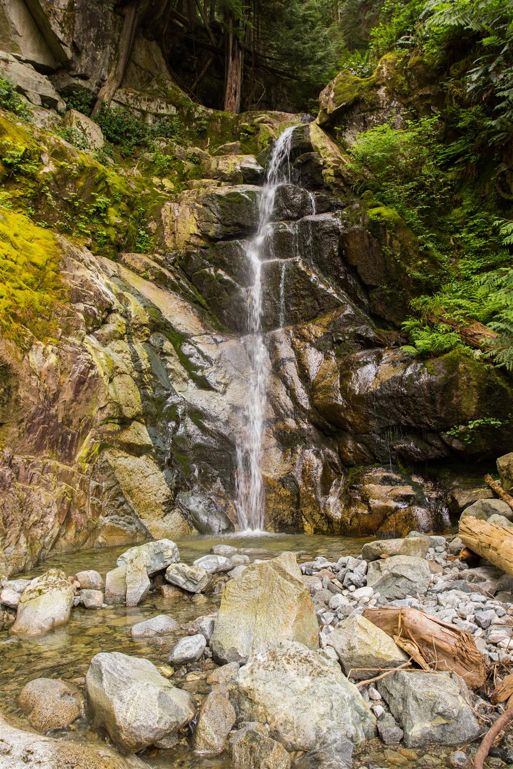
Here is a close up of Swan Falls…

Swan Falls

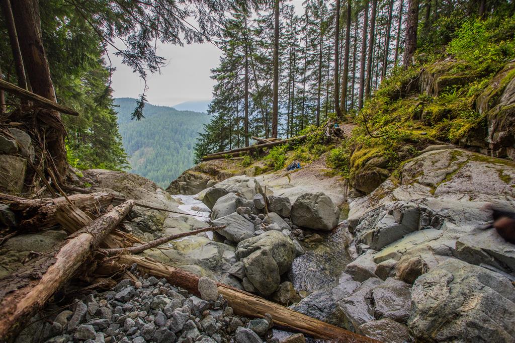
Here is a view looking west from Swan Falls…

Looking down from Swan Falls

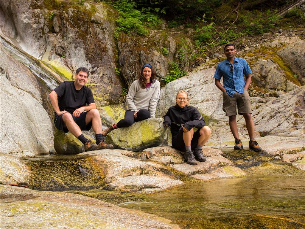
Here’s a group photo from the lower falls area…

Group photo at Swan Falls

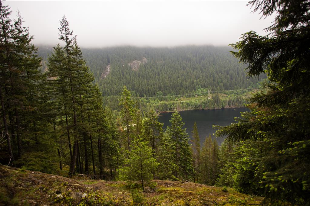
On the Lakeview Trail, there is a nice viewpoint near the end. You can see the low cloud cover in this shot…

Lakeview Trail viewpoint

Here is a of trail pic on the Lakeview Trail…

Lakeview Trail at Buntzen lake

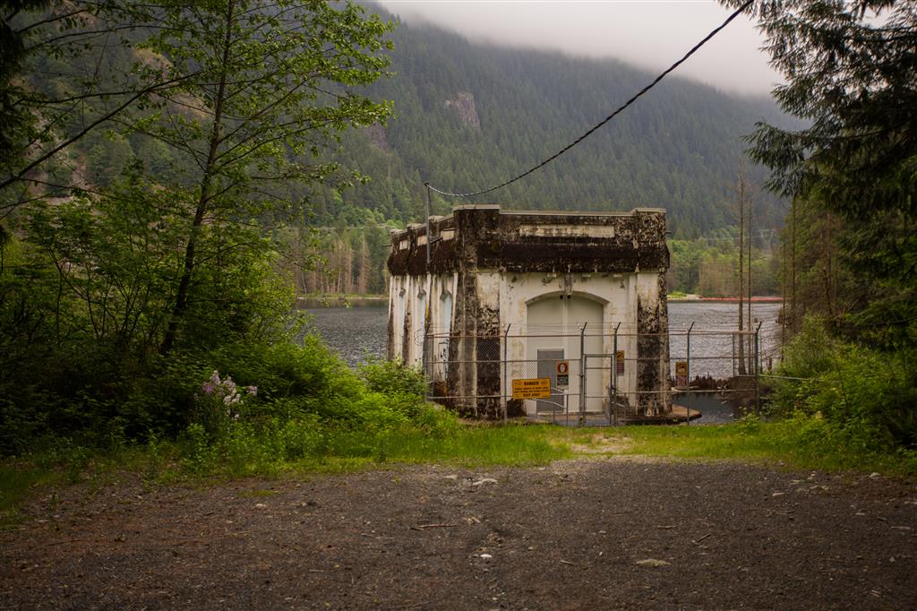
After the Lakeview Trail, we headed north on the Old Buntzen Lake Trail, which took us past McCombe Lake and past this intake station…

Intake house on McCombe Lake

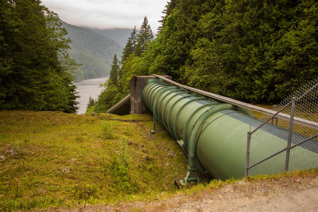
Further on down, we past this huge aquiduct, which takes water to a power station on Indian Arm…

Buntzen Lake Aquiduct

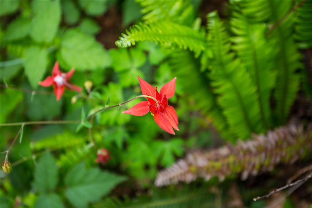
We saw some nice flowers today, like the Western Columbine…

Western Columbine

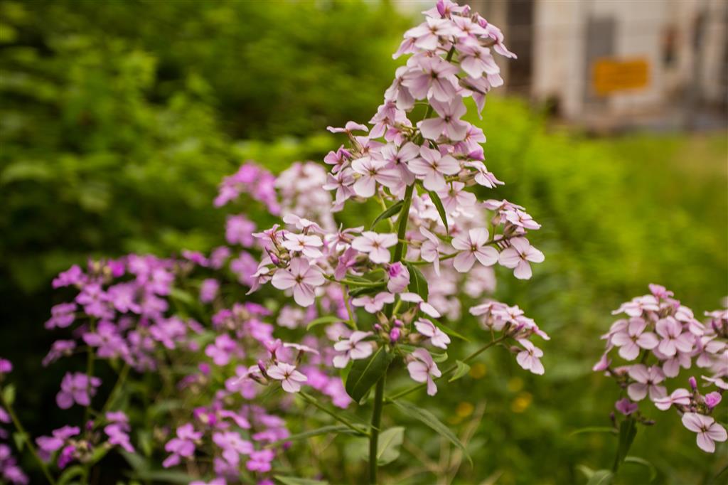
And this one…

Pink flowers

★★★★★★★★★★★

Before heading out on your hike, make sure you are well prepared. This means, having the TEN ESSENTIALS. It is also important to leave a trip plan (route details and estimated return time) with someone you trust.

Bring your smartphone, fully charged and put it in airplane mode while hiking. I always bring back-up battery packs for extra piece of mind. It is highly recommended that you bring a GPS device; I use my smartphone with a GPS app (Backcountry Navigator). The GPS will work in airplane mode. Learn how to use it before your hike.

For anyone new to hiking, there is a rule to which hikers follow; it is called “Leave No Trace” or LNT. The concept is generally to pack out what you pack in and respect nature, so all future visitors can enjoy what you have enjoyed.
To learn more about LNT, please check out this BLOG by a certified LNT Trainer.

★★★★★★★★★★★

Lindeman & Greendrop Lakes


It turned out to be a great day for a hike in Chilliwack Lake Provincial Park. This was my first hike in boulder fields and there are many here. It makes for very interesting traversing and scenery.  The lakes were beautiful under the morning sun, especially Lindeman Lake, with its green colour. Don’t be fooled by the short distance and small elevation gain, which is similar to the Buntzen Lake loop. This hike took our group of 4, just under 6 hours. We had short stops, but traversing the boulder fields slows you down. The drive out to the trailhead is a long drive from Coquitlam (120 km and 1.5 hours). We had a slight sprinkle of rain at Greendrop Lake and we heard some thunder in the distance, but overall, it was a great success. You should be confident in jumping rock to rock on the boulder fields and over one small stream.

The stats:

Distance: 11.2 km (return)
Low point: 624 m
High point: 964 m
Elevation gain: 340 m
Total Elevation gain: 606 m
Trailhead: 49° 05’ 56.2” by  121° 27’ 30.3” (Google Map)

The route:

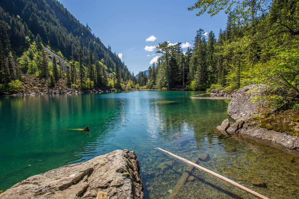
Here is Lindeman Lake…

Lindeman Lake
Lindeman Lake

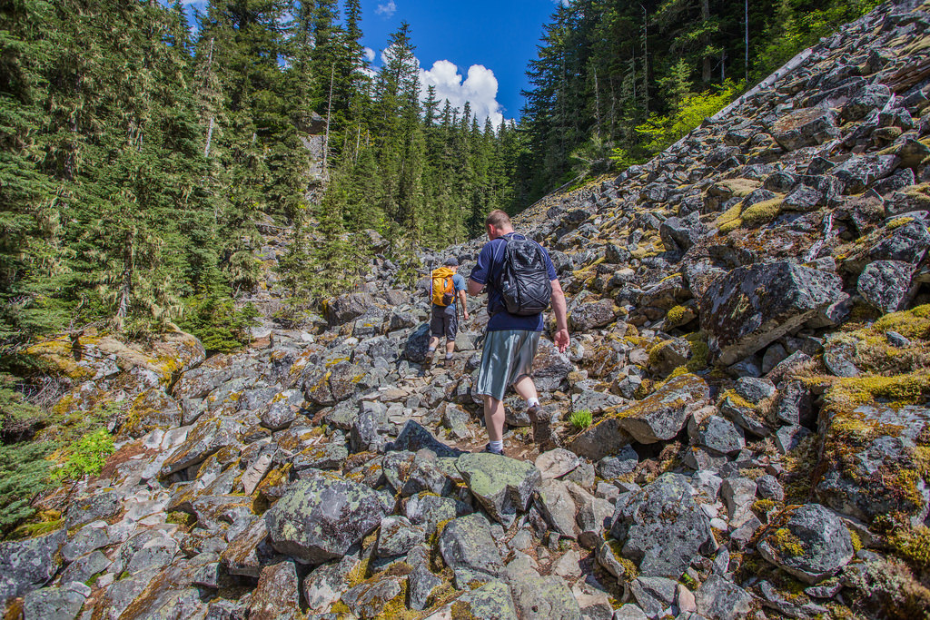
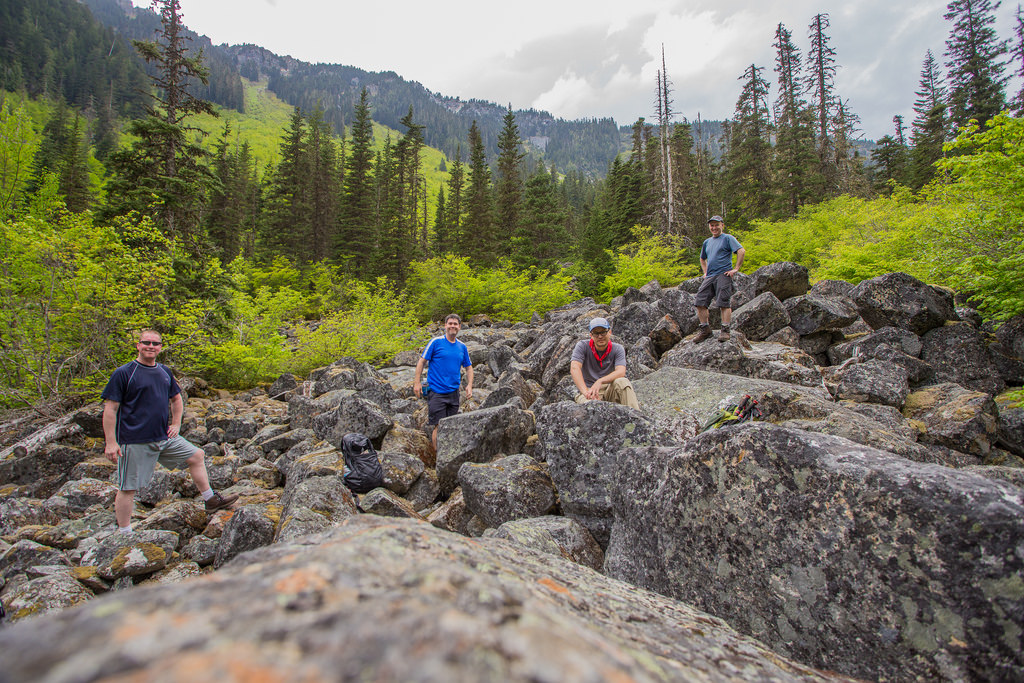
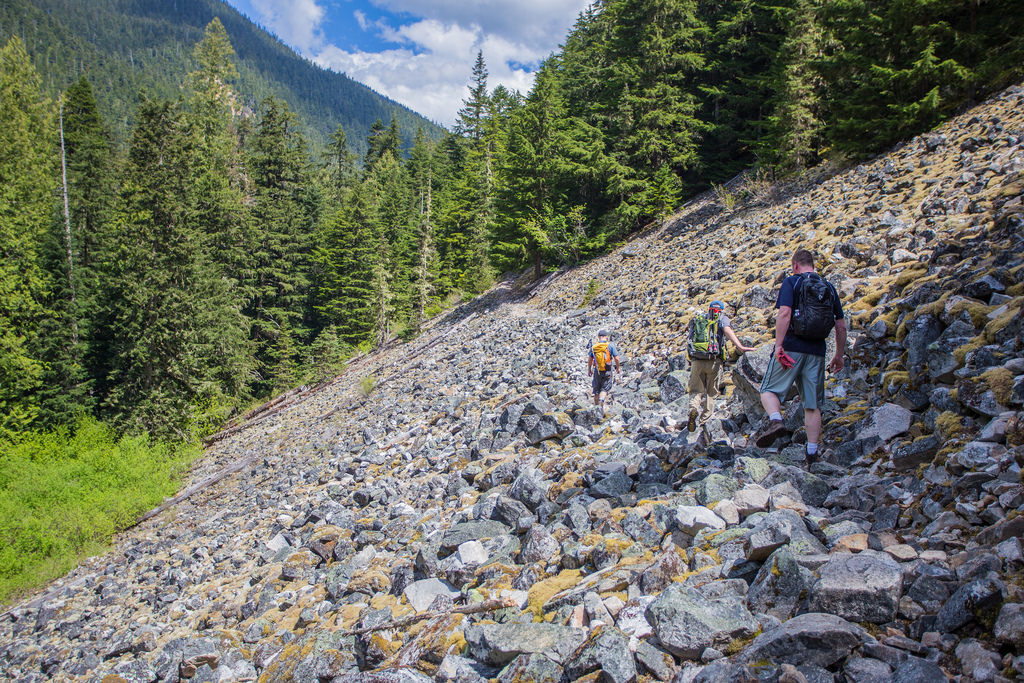
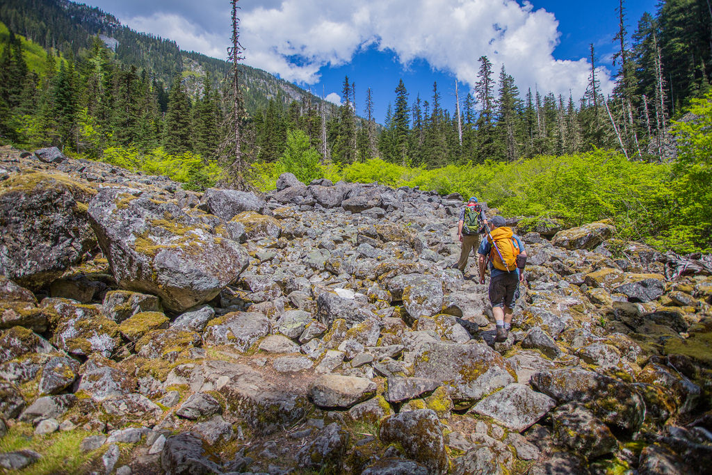
Here are some of the boulder fields…

Boulder Field
Boulder Field
Boulder Field traverse
Boulder Field
Boulder Field

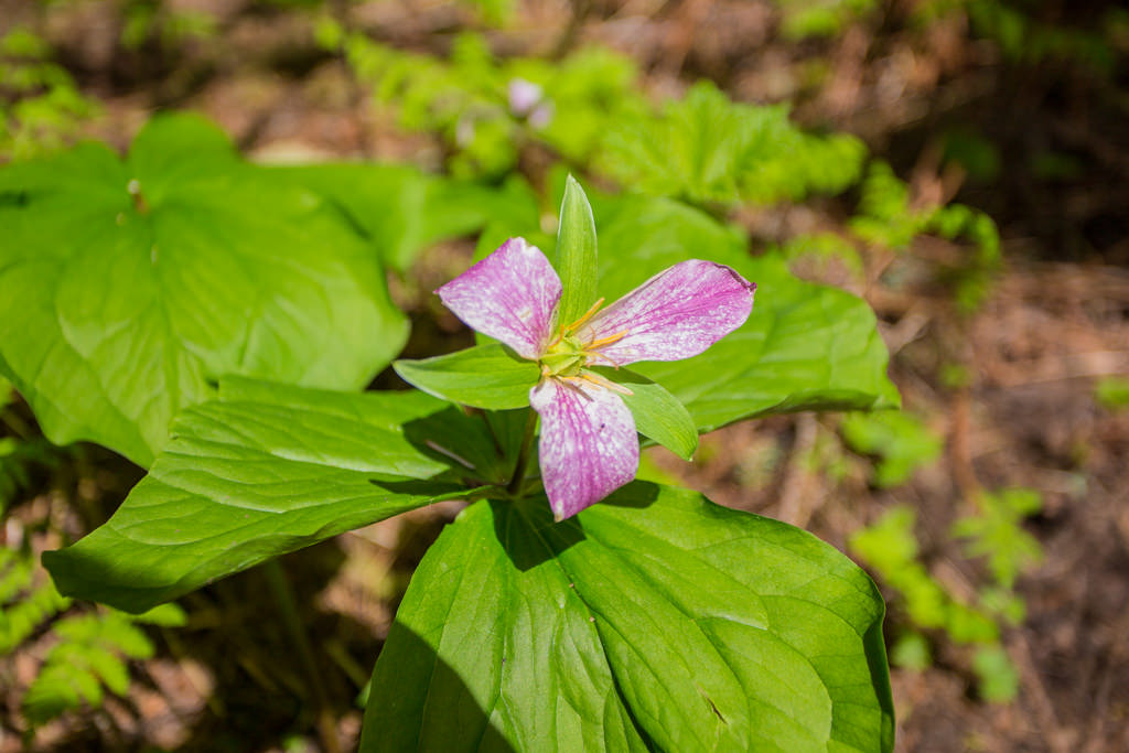
The Trillium Flowers were in bloom…

Pink Trillium

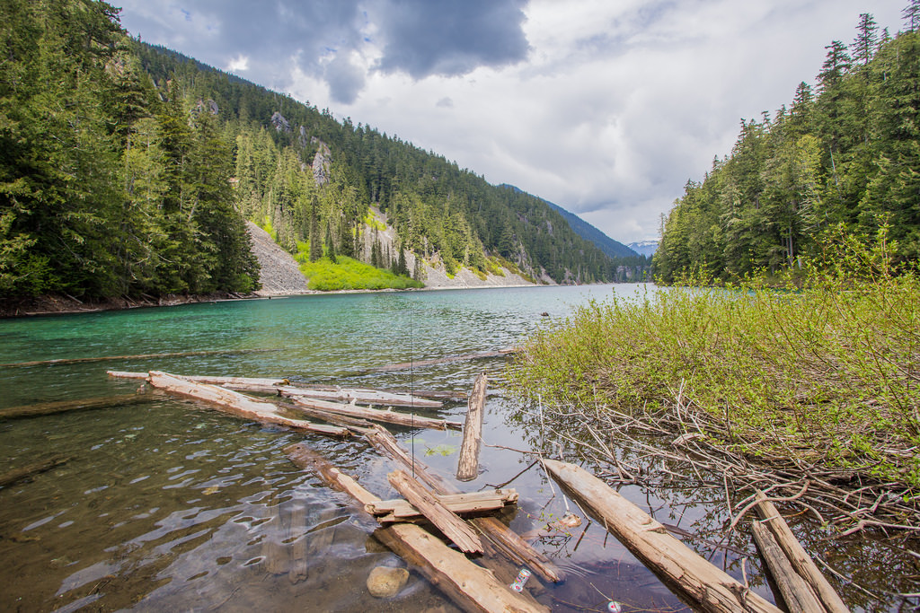
Here is Greendrop Lake…

Greendrop Lake
Greendrop Lake

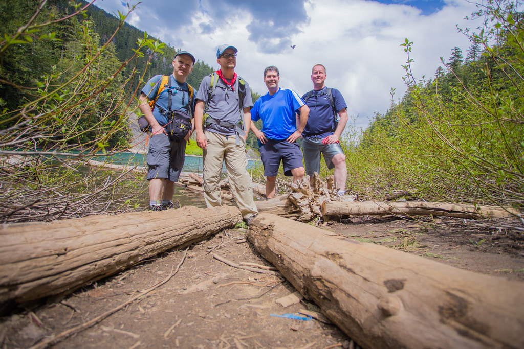
Group photos are at Greendrop Lake followed by one in a boulder field…

Group photo at Greendrop Lake
Group photo in Boulder Field

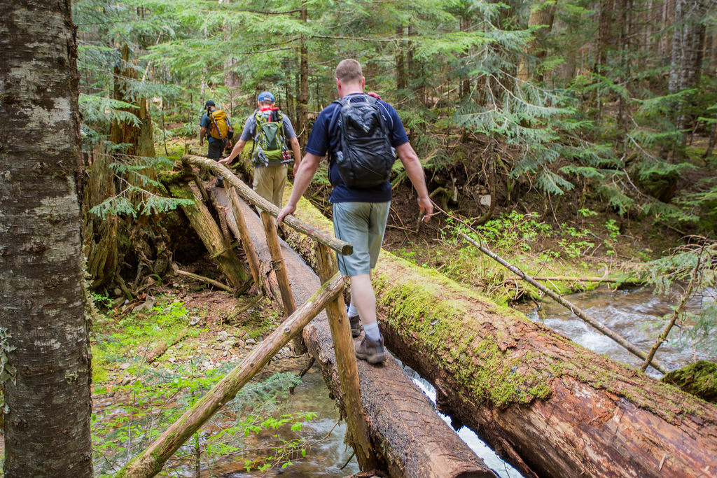
Walking across a tree bridge…

Tree Bridge

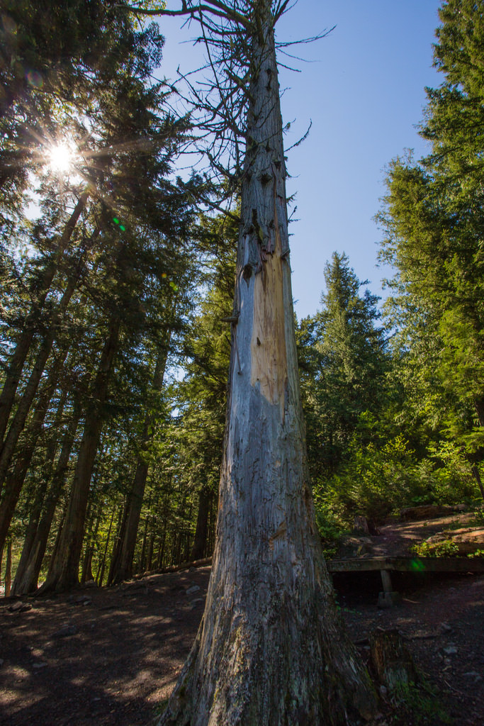
I’ll end my photos with a view of dead tree…

Dead tree

★★★★★★★★★★★

Before heading out on your hike, make sure you are well prepared. This means, having the TEN ESSENTIALS. It is also important to leave a trip plan (route details and estimated return time) with someone you trust.

Bring your smartphone, fully charged and put it in airplane mode while hiking. I always bring back-up battery packs for extra piece of mind. It is highly recommended that you bring a GPS device; I use my smartphone with a GPS app (Backcountry Navigator). The GPS will work in airplane mode. Learn how to use it before your hike.

For anyone new to hiking, there is a rule to which hikers follow; it is called “Leave No Trace” or LNT. The concept is generally to pack out what you pack in and respect nature, so all future visitors can enjoy what you have enjoyed.
To learn more about LNT, please check out this BLOG by a certified LNT Trainer.

★★★★★★★★★★★

Hiking to lose Weight

Hiking became an important part of getting fitter and losing weight for me. When I started, I weighed about 240 lb (109 kg). Over time, I reached about 170 lb (77 kg).

I did not begin with difficult mountain hikes. I started by walking approximately 5 km on relatively flat trails about three times a week. I timed some of my walks, tracked my progress, and gradually moved on to longer and more challenging hikes.

A personal experience: What follows is what helped me. Weight management is individual, and factors such as health conditions, medications, sleep, stress, and nutrition can all play a role. If you are making major changes to your activity level or diet, particularly if you have a medical condition, consider speaking with a health professional or registered dietitian.

My Before and After
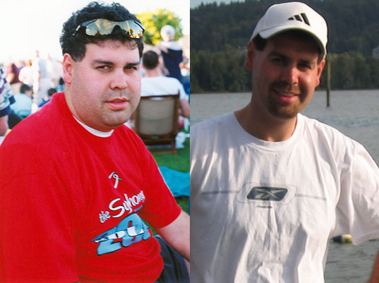

Before and after photos showing my weight-loss progress

How I Got Started

For me, consistency was more important than trying to do too much too soon. Walking was a manageable starting point, and as my fitness improved I gradually added hills, longer distances, and more challenging hikes.

  • Start easy. If you have not been active for a while, begin with shorter, relatively flat walks and build from there.
  • Increase gradually. Add distance, elevation, or pace a little at a time rather than increasing everything at once.
  • Track your activity. Distance, time, route, and frequency can help you see progress. I have used MapMyFitness to record my workouts.
  • Find activities you actually enjoy. Hiking worked for me because I wanted to keep doing it.
  • Consider a hiking or walking partner. Having someone else involved can make it easier to stay consistent.
  • Add strength training. Stronger legs, core, and upper body can improve both general fitness and hiking ability.
  • Allow time for recovery. Rest, sleep, and easier days are part of improving fitness.

For someone looking for a relatively easy walk at Buntzen Lake, the Energy Trail can be a good place to start.

Eating Habits That Helped Me

Exercise was only part of the equation for me. I also became much more aware of what I was eating and drinking.

Some of the habits I found useful were:

  • Making water my main drink.
  • Cutting back substantially on sugary drinks.
  • Eating more vegetables, fruit, whole grains, and protein-rich foods.
  • Choosing foods that helped me feel satisfied rather than simply eating the lowest-calorie option available.
  • Keeping nutritious snacks available when I knew I would be hungry.
  • Eating nuts and nut butters in reasonable portions. They can be filling, but they are also energy-dense.
  • Cooking at home more often and eating restaurant meals less frequently.
  • Using herbs, spices, mustard, lemon, and hot sauce to add flavour without relying heavily on rich sauces.
  • Reading nutrition labels rather than assuming that a product labelled “low fat” or “healthy” is necessarily a better choice.
  • Being aware of portion size, particularly with calorie-dense foods.
  • Limiting alcohol.

Cutting Back on Added Sugar

One of the biggest changes for me was reducing the amount of sugar I was drinking and eating. Sugary beverages are particularly easy to consume without feeling very full.

Foods and drinks I became more conscious of included:

  • soft drinks and other sugar-sweetened beverages;
  • sweetened coffee drinks;
  • fruit juice;
  • candy and chocolate;
  • cookies, cakes, pastries, and doughnuts;
  • syrups, jams, and sweet spreads;
  • sweetened breakfast cereals;
  • ice cream and other desserts; and
  • sauces and condiments that contain substantial added sugar.

This does not mean that every food containing sugar needs to be eliminated. For me, the bigger improvement came from recognizing the foods and drinks that contributed a lot of sugar and calories without adding much nutritional value.

Motivation and Consistency

The difficult part was not knowing that exercise and healthier eating were useful. The difficult part was sticking with them.

I found that setting small challenges worked better than thinking only about the final goal.

One example was sweetened coffee drinks. Rather than telling myself I could never have one again, I challenged myself to go without them for one month. One month eventually became three. Reaching that small goal gave me confidence that I could change other habits as well.
A challenge does not have to involve food. It could be:

  • walking 1, 2, or 3 km every day;
  • completing three walks each week for a month;
  • gradually improving your walking pace;
  • trying a new trail;
  • adding regular strength training; or
  • reducing the amount of time spent sitting.

Tracking Progress

I found it motivating to record my walks and hikes and watch my fitness improve. If you choose to track body weight as well, use a consistent approach. Body weight naturally fluctuates from day to day, so the overall trend is more useful than any single measurement.

Progress can also show up in other ways: walking farther, climbing hills more comfortably, recovering faster, sleeping better, or simply having more energy.

What I Learned

The biggest lesson for me was that I did not need to begin as a strong hiker. I needed to begin with something I could actually sustain.

A 5 km walk eventually became longer walks. Longer walks became hikes. The hikes became more challenging, and the improvements in fitness gave me more confidence to keep going.
Hiking was not a quick fix. It became part of my lifestyle, and that made the difference.

Current Canadian guidance: Adults are encouraged to accumulate at least 150 minutes of moderate-to-vigorous physical activity each week and include regular muscle-strengthening activity. Canada’s Food Guide emphasizes vegetables and fruit, whole grains, protein foods, water, and limiting highly processed foods and sugary drinks.