All posts by admin

Skyline Divide

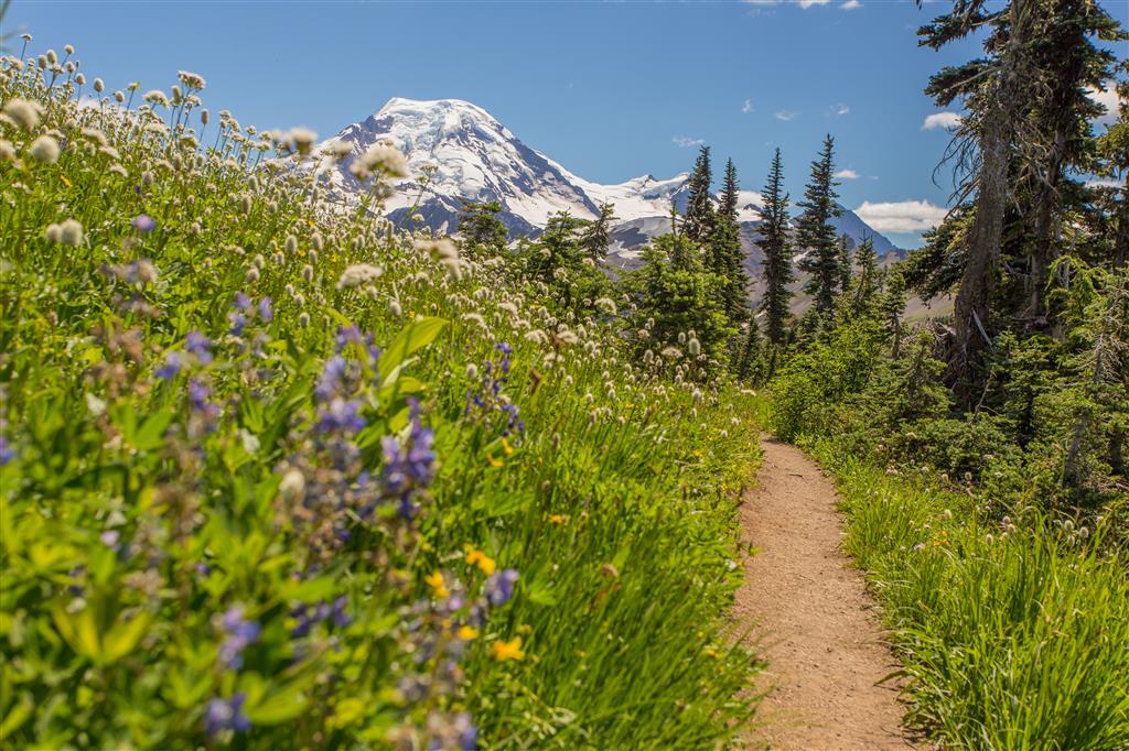
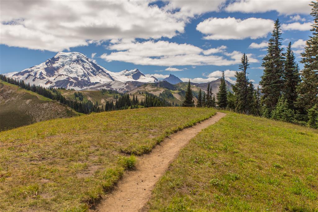
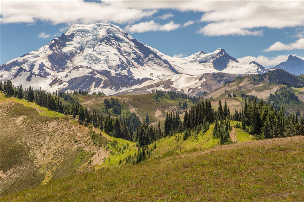
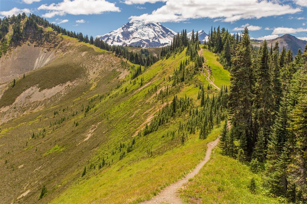
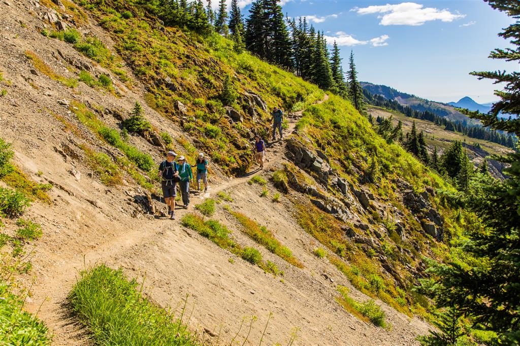
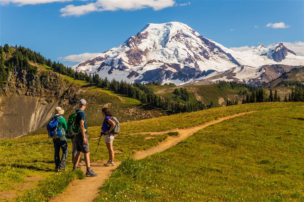
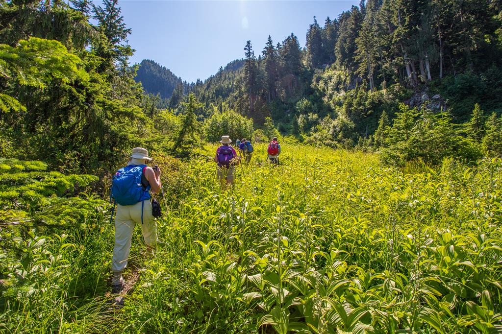
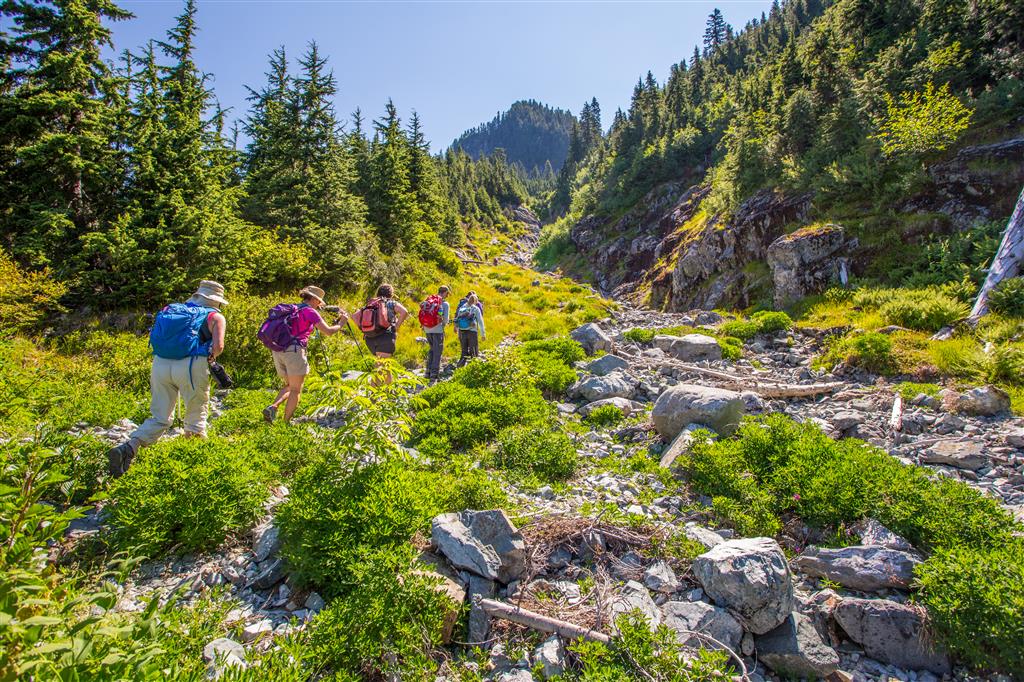
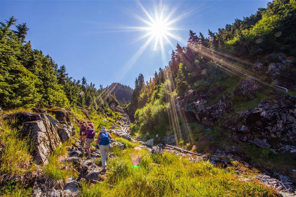
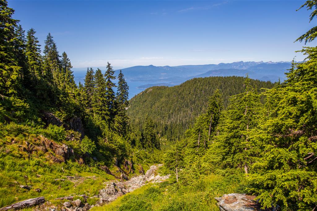
Last week I did this hike and it was cloudy, rainy and there were no views, so I just had to come back !! My first post for this hike is HERE. The hike today was just gorgeous, with the sun shining all day. The hike takes you into the northern foothills of Mt. Baker, a 3,286 m volcano.  The Skyline Divide Trail is in the Mount Baker-Snoqualmie National Forest. The area is amazing and you’ll see it in the photos below. Last week we also missed our intended trail, but today, I made sure we took the correct turn. There is a 20 km gravel road to travel to make it to the trailhead – I had no problems with my car – just slow due to potholes and the occasional grouse on the trail.

Remember – You will need a Northwest Forest Pass, which can be purchased in person at the Glacier Public Service Center at 10091 Mt. Baker Highway,Glacier, WA (Link to Map)

Or you can buy an epass in advance online at the Discover Your Northwest website

Border crossing tips: Bring passport, Nexus or enhanced ID !!; no fruit, no veges, no meat (this isn’t a complete list !); trailmix is ok. There is an IGA just across the border if you want to get some fruit or a sandwich for your hike.

A great resource for current conditions for this hike is the WTA website.
Check it OUT !!!

The location of the start of the forestry road (NF-37) to the trailhead is HERE

Here are the stats:

Distance: 13.6 km (return)
Time: 6.25 hours
Low point: 1306 m
High point: 1991 m
Elevation gain: 685 m
Cumulative Elevation gain: 1280 m
Trailhead: 48° 52’ 49.4” by  121° 51’ 53.5” (Google Map)

Here’s the route…

Here are the photos from today…

Mt. Baker through the flowers

IMG_7364

IMG_7367

IMG_7375

IMG_7410

IMG_7457

IMG_7459

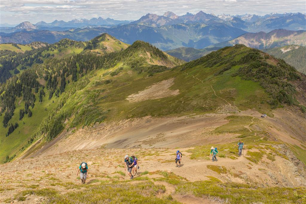
Way up to ridgeline peak

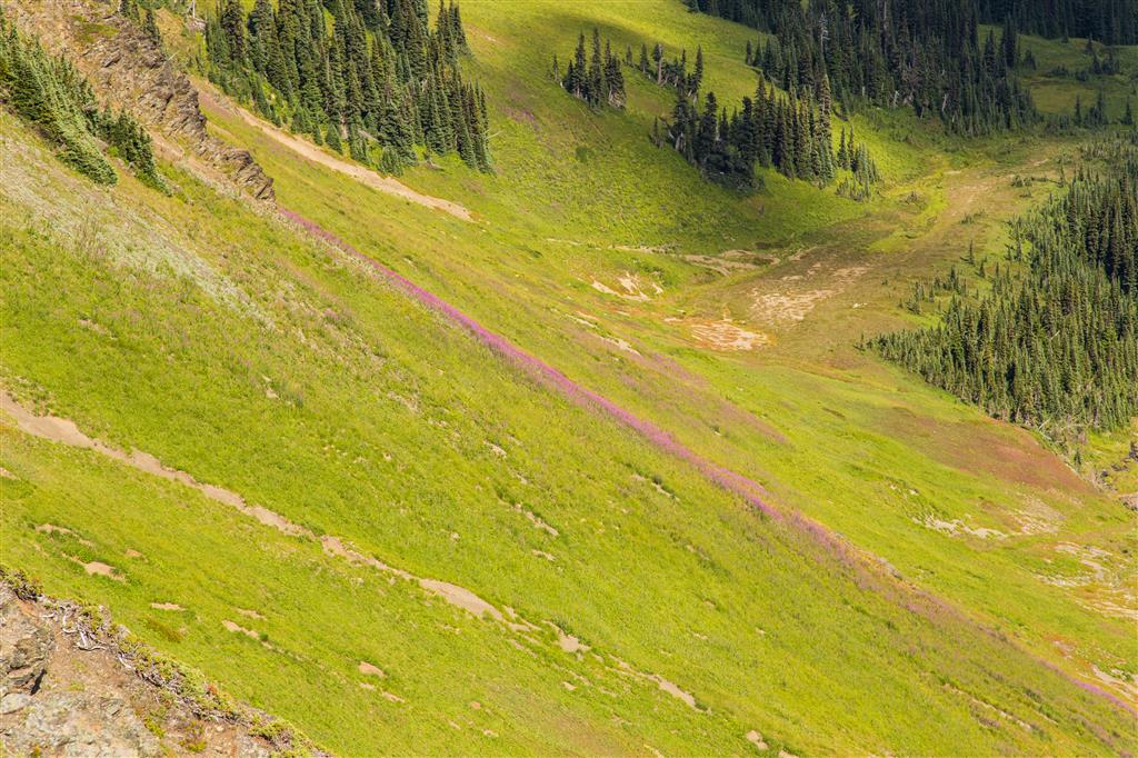
Wild flowers flowing down hillside

★★★★★★★★★★★

Before heading out on your hike, make sure you are well prepared. This means, having the TEN ESSENTIALS. It is also important to leave a trip plan (route details and estimated return time) with someone you trust.

Bring your smartphone, fully charged and put it in airplane mode while hiking. I always bring back-up battery packs for extra piece of mind. It is highly recommended that you bring a GPS device; I use my smartphone with a GPS app (Backcountry Navigator). The GPS will work in airplane mode. Learn how to use it before your hike.

For anyone new to hiking, there is a rule to which hikers follow; it is called “Leave No Trace” or LNT. The concept is generally to pack out what you pack in and respect nature, so all future visitors can enjoy what you have enjoyed.
To learn more about LNT, please check out this BLOG by a certified LNT Trainer.

★★★★★★★★★★★

Skyline Divide Trail

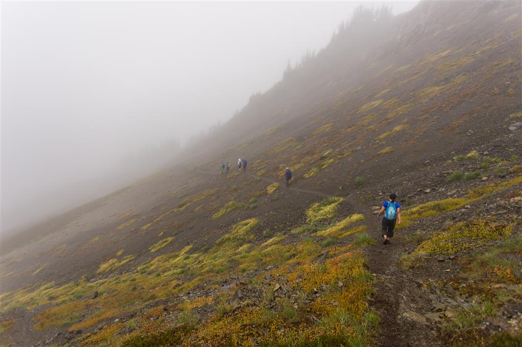
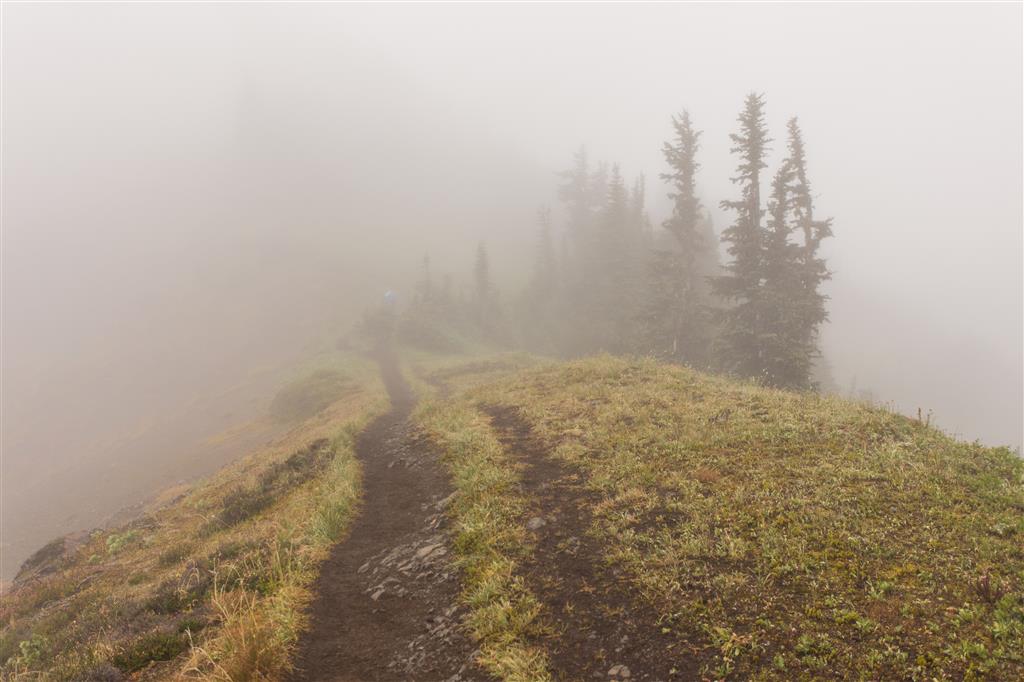
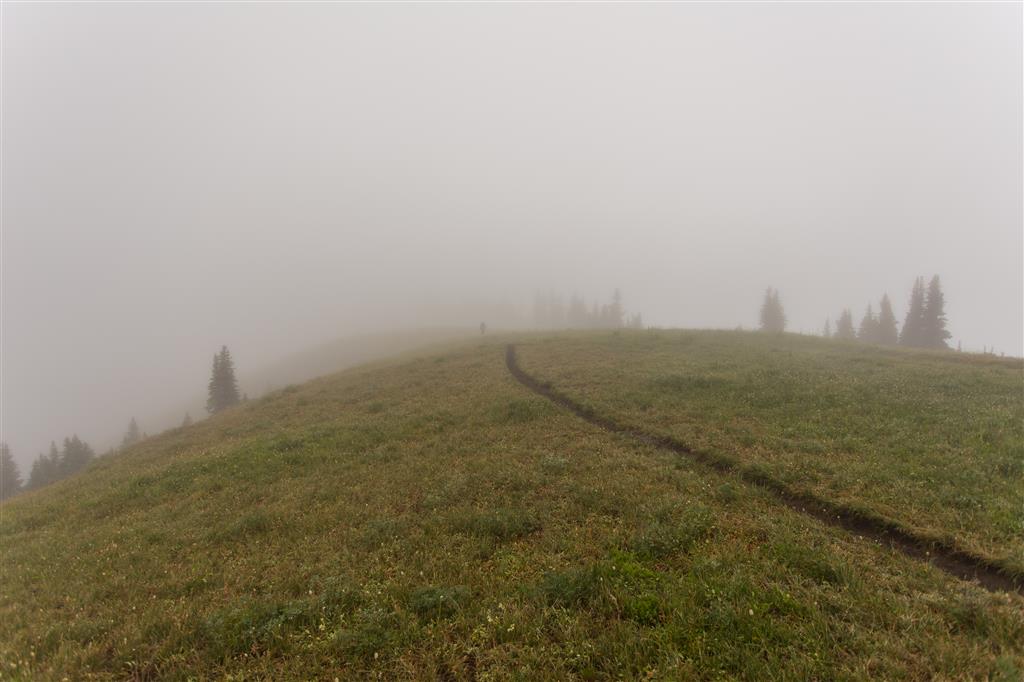
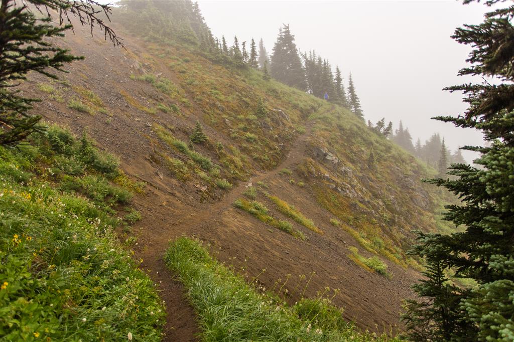
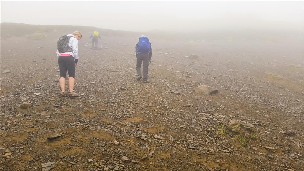
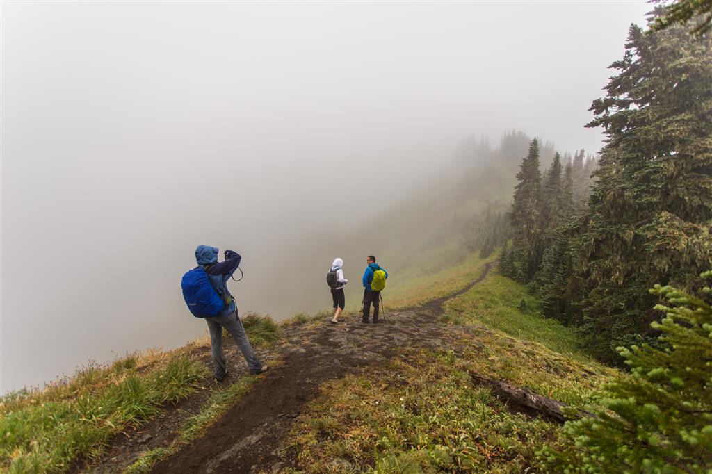
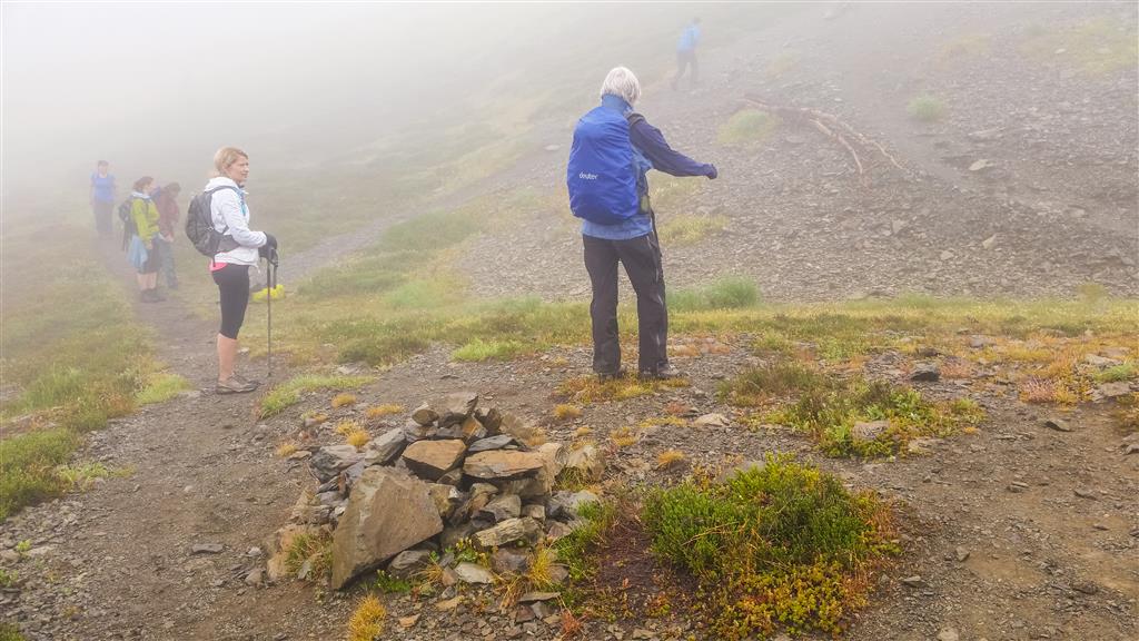
This was my first hike in Washington State. This hike takes you into the northern foothills of Mt. Baker, a 3,286 m volcano.  The Skyline Divide Trail is in the Mount Baker-Snoqualmie National Forest. The area is amazing; although, you wouldn’t know it from the photos – we had very low visibility all day – so that means no views !! I will have to go back on a sunny day. Today, we missed our intended trail, but the trail we ended up on was very nice. Unfortunately, the trail ended and we had to hike some steep areas and scree slopes. There was one last section to climb, but with the visibility so low, we couldn’t see where we were going, so we decided to make our way down a slightly different (less steep) route. There is a 20 km gravel road to travel to make it to the trailhead – I had no problems with my car – just slow due to potholes and the occasional grouse on the trail.

Remember – You will need a Northwest Forest Pass, which can be purchased in person at the Glacier Public Service Center at 10091 Mt. Baker Highway,Glacier, WA (Link to Map)

Or you can buy an epass in advance online at the Discover Your Northwest website

Border crossing tips: Bring passport, Nexus or enhanced ID !!; no fruit, no veges, no meat (this isn’t a complete list !); trailmix is ok. There is an IGA just across the border if you want to get some fruit or a sandwich for your hike.

A great resource for current conditions for this hike is the WTA website.
Check it OUT !!!

The location of the start of the forestry road (NF-37) to the trailhead is HERE

The stats:

Distance: 15 km (return)
Time: 7 hours
Low point: 1308 m
High point: 1914 m
Elevation gain: 606 m
Cumulative Elevation gain: 1150 m
Trailhead: 48° 52’ 49.4” by  121° 51’ 53.5” (Google Map)

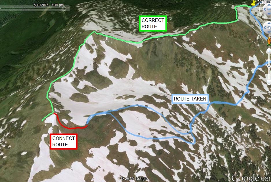
Here’s the correct route…

Here is a close up of the north end of our route, with  the correct route and the route taken. The “Connect Route” wasn’t taken due to low visibility. It was only a short distance to hook up with the main trail, but it was steep and we couldn’t see well.

Hike route
Here are some photos…

IMG_7256

IMG_7244

IMG_7245

IMG_7240

IMG_7250

20150711_141545

IMG_7241

20150711_160057

IMG_7253

★★★★★★★★★★★

Before heading out on your hike, make sure you are well prepared. This means, having the TEN ESSENTIALS. It is also important to leave a trip plan (route details and estimated return time) with someone you trust.

Bring your smartphone, fully charged and put it in airplane mode while hiking. I always bring back-up battery packs for extra piece of mind. It is highly recommended that you bring a GPS device; I use my smartphone with a GPS app (Backcountry Navigator). The GPS will work in airplane mode. Learn how to use it before your hike.

For anyone new to hiking, there is a rule to which hikers follow; it is called “Leave No Trace” or LNT. The concept is generally to pack out what you pack in and respect nature, so all future visitors can enjoy what you have enjoyed.
To learn more about LNT, please check out this BLOG by a certified LNT Trainer.

★★★★★★★★★★★

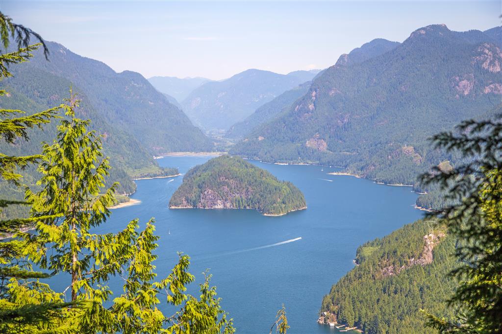
Croker Lookout


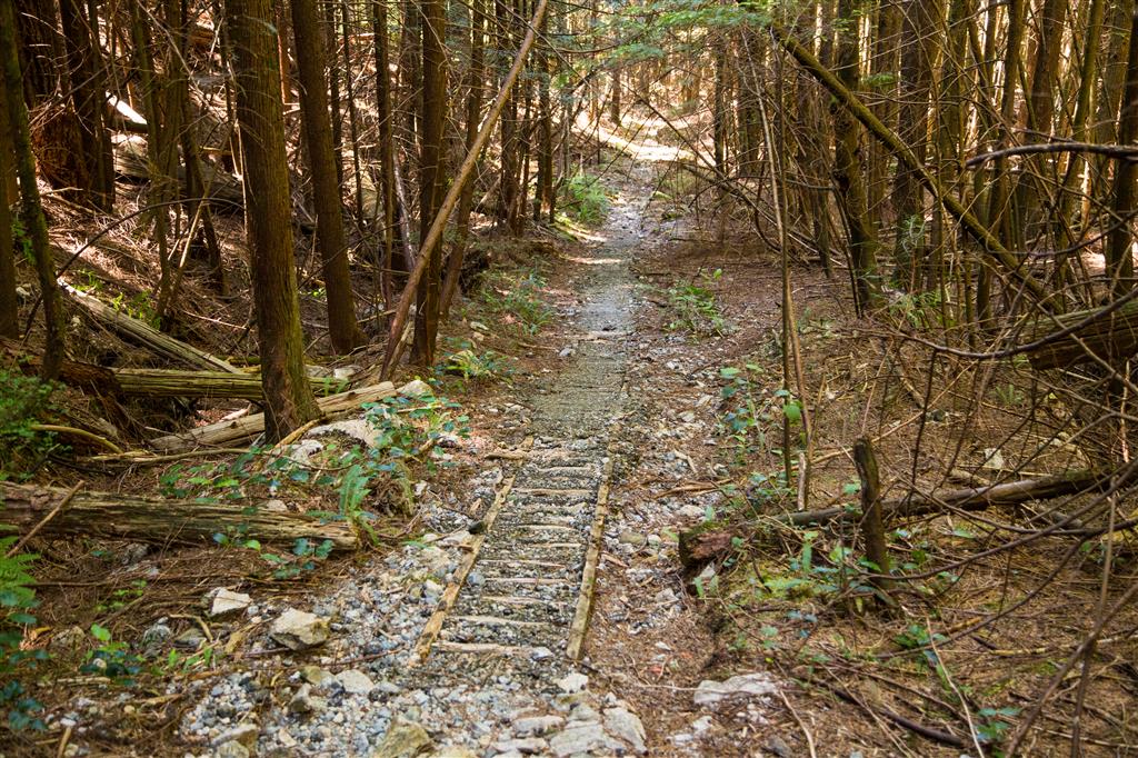
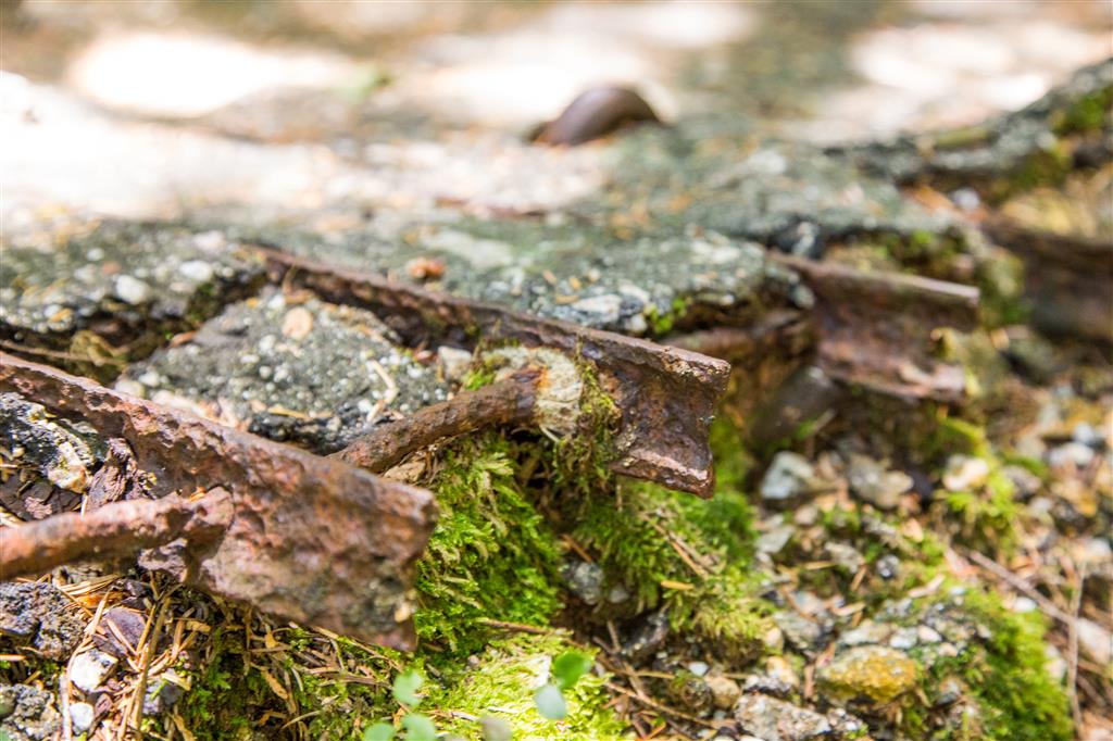
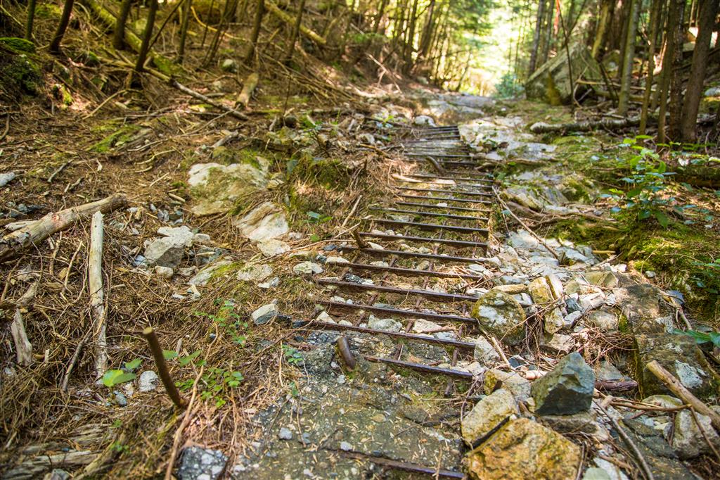
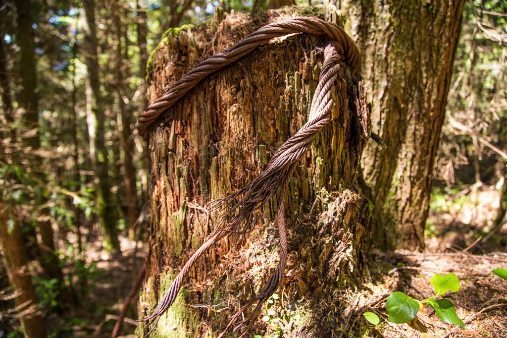
Croker Lookout is located on a spur trail 500 m off the Dilly Dally Trail and 3 km north of Buntzen Lake. Croker Lookout is named after Croker Island, which is located at the north end of Indian Arm. There are many different ways to get to the trailhead and today we took the west side of Buntzen Lake and coming back, we took the east side of the lake. Whichever way you take, you will take the gravel road located by the Buntzen Dam – follow this road for nearly 2 km at which point, take a right and head into the forest on the Dilly Dally Trail. The first little bit is steep, but then it levels out a bit.  After a bit, you’ll reach an old logging road, where you’ll see relics of the era, such as steel wire, asphalt with steel re-bar and wooden supports on the trail (photos below). As you can see from the stats below, the elevation gain is only 1/3 of the cumulative elevation gain – there are plenty of ups and downs on the route !

According to the Province of BC, Croker Island was presumably named by Captain Richards, RN, while surveying the waters in 1859-60, probably after James L. Croker, assistant paymaster, HMS Plumper in 1860.

The Stats:

Distance: 19.3 km (return)
Time: 6.75 hours (with a 30 min swim break)
Low point: 53 m
High point: 447 m
Elevation gain: 394 m
Cumulative Elevation gain: 1260 m
Calories burned: 4422
Trailhead 1: Buntzen Lake Parking
Walk or bike to the Buntzen Lake Dam and you’ll find Trailhead 2; 2km north up the road, you’ll find Trailhead 3
Trailhead 2: 49° 22’ 25.3” by  122° 51’ 49.5” (Google Map)
Trailhead 3: 49° 23’ 7.9” by  122° 51’ 35” (Google Map)

The route…

Here is the view from the lookout…

Croker Island

Here are some relects of (I presume) past logging in the area…

Wood supports…

Asphalt with wood supports

Metal rebar in asphalt…

Metal rebar

Metal rebar in asphalt

Steel wire around a tree…

Steel wire around a tree

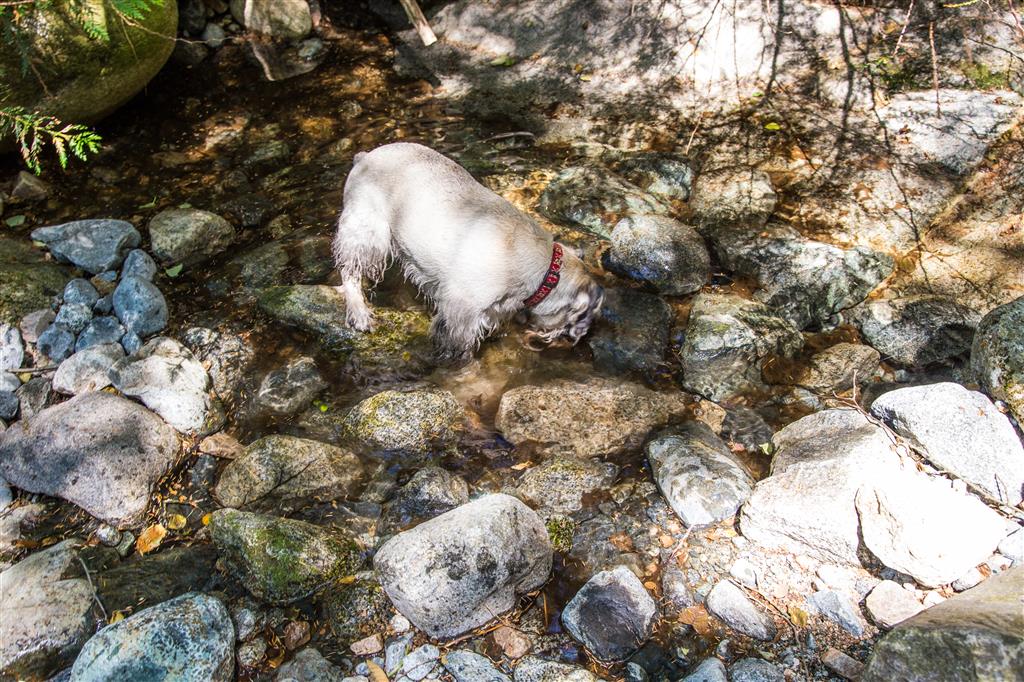
There were a couple of creeks with some water, which was nice for the dog…

Having a drink

We saw some wild blueberries at the lookout…

Wild Blueberries

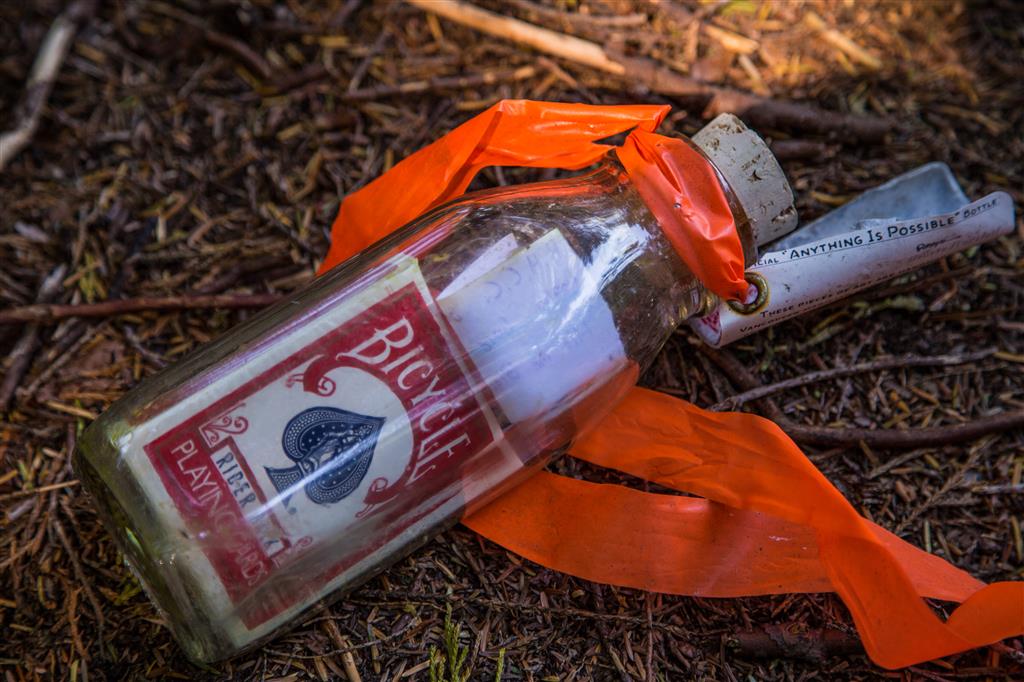
Someone left a full deck of playing cards in a bottle for someone to find…

Cards in a bottle

★★★★★★★★★★★

Before heading out on your hike, make sure you are well prepared. This means, having the TEN ESSENTIALS. It is also important to leave a trip plan (route details and estimated return time) with someone you trust.

Bring your smartphone, fully charged and put it in airplane mode while hiking. I always bring back-up battery packs for extra piece of mind. It is highly recommended that you bring a GPS device; I use my smartphone with a GPS app (Backcountry Navigator). The GPS will work in airplane mode. Learn how to use it before your hike.

For anyone new to hiking, there is a rule to which hikers follow; it is called “Leave No Trace” or LNT. The concept is generally to pack out what you pack in and respect nature, so all future visitors can enjoy what you have enjoyed.
To learn more about LNT, please check out this BLOG by a certified LNT Trainer.

★★★★★★★★★★★

Mount Strachan


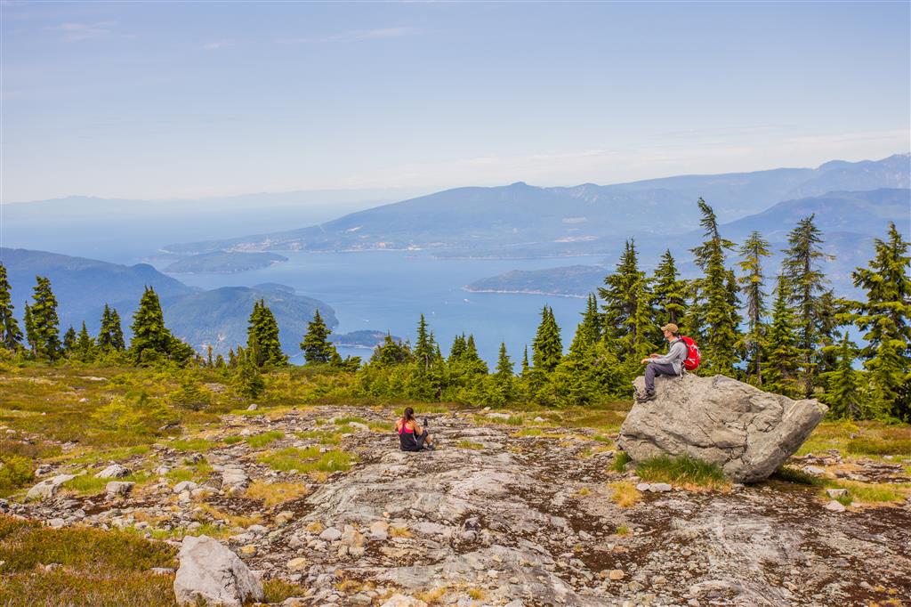
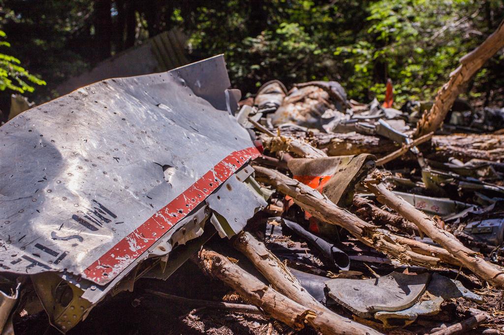
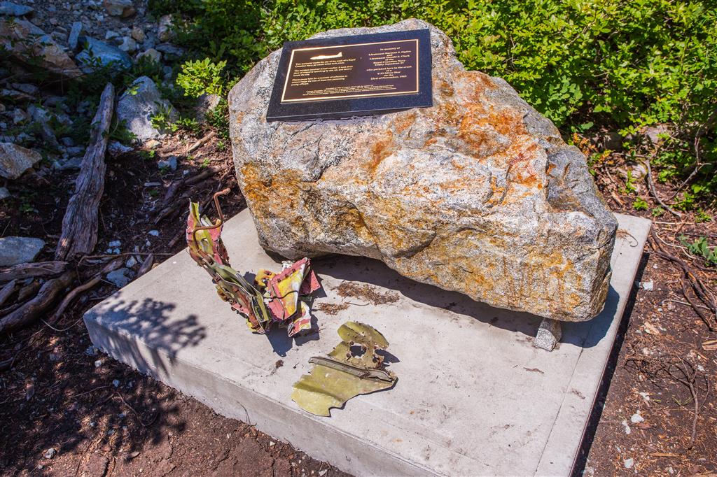
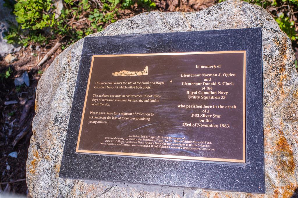
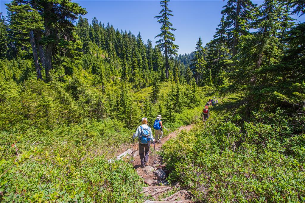
Mount Strachan is located at the Cypress Mountain Ski Resort.  The route follows the same path as the route to St. Mark’s Summit for about 3 km, until you reach Strachan Meadows and enter Christmas Gully. I didn’t see a sign for the turn off, so it’s always good to have a GPS device with you. The hike up to the turn off is a well defined and well used trail. During the climb through Christmas Gully you’ll have some steep sections with some fairly easy scrambling. When you reach the saddle between the north and south peaks, you can choose to do both or just go onto the south peak, which is slightly higher. On this day, we skipped the north peak and did the south peak. After admiring the views on the south peak, we made our way down and saw the remains of a 1963 military plane crash – photos below. The trail starts right by the Cypress Lodge and you can park near there.

The stats:

Distance: 7.3 km (return)
Time: 4.5 hours (with lots of breaks)
Low point: 917 m
High point: 1435 m
Elevation gain: 518 m
Trailhead: 49° 23’ 45.3” by  123° 12’ 14.8” (Google Map)

The route:

Strachan Meadows…

Strachan Meadows

Entering Christmas Gully…

Entering Christmas Gully

Climbing Christmas Gully…

Climbing Christmas Gully

Looking down from Christmas Gully…

Looking down from Christmas Gully

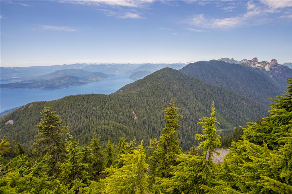
View from top…

View from top

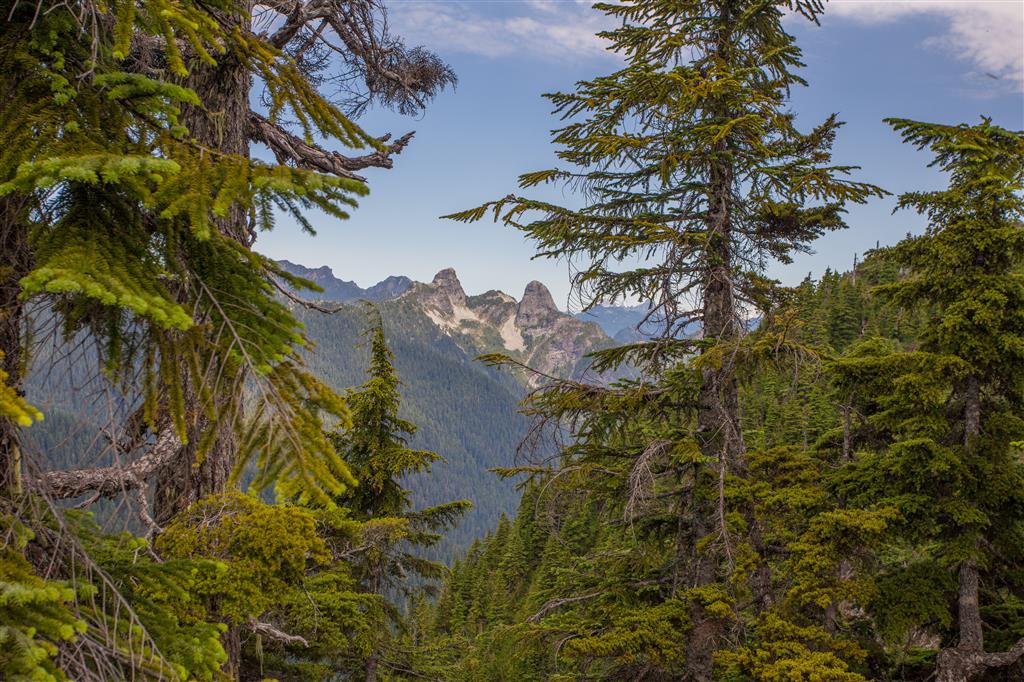
Lions peaking through…

Lions peaking through

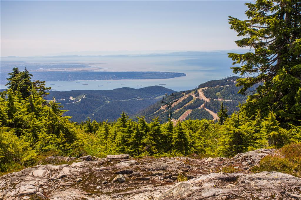
Another view from the top…

View from top 2

View coming down…

View coming down

Plane Wreckage…

Plane Wreckage

Plane Wreck Memorial…

Plane wreck memorial

Plaque…

Plaque

Trail coming down…

Trail coming down

★★★★★★★★★★★

Before heading out on your hike, make sure you are well prepared. This means, having the TEN ESSENTIALS. It is also important to leave a trip plan (route details and estimated return time) with someone you trust.

Bring your smartphone, fully charged and put it in airplane mode while hiking. I always bring back-up battery packs for extra piece of mind. It is highly recommended that you bring a GPS device; I use my smartphone with a GPS app (Backcountry Navigator). The GPS will work in airplane mode. Learn how to use it before your hike.

For anyone new to hiking, there is a rule to which hikers follow; it is called “Leave No Trace” or LNT. The concept is generally to pack out what you pack in and respect nature, so all future visitors can enjoy what you have enjoyed.
To learn more about LNT, please check out this BLOG by a certified LNT Trainer.

★★★★★★★★★★★

Industrial Relics Around Buntzen Lake

Buntzen Lake is best known today for hiking, swimming, and recreation, but the landscape also contains reminders of more than a century of hydroelectric and industrial activity.

The Buntzen hydroelectric system began operating in 1904. Water was diverted from Coquitlam Reservoir through a tunnel beneath Eagle Mountain into Buntzen Lake, then carried through penstocks down to generating stations on Indian Arm. Over the years, the area also included dams, pipelines, pumphouses, transmission lines, and other infrastructure.

During my hikes around Buntzen Lake, I have come across quite a few remnants of that industrial history. Some are easy to identify, while others are more mysterious. I think of them collectively as the industrial relics of Buntzen Lake.

Old Electrical Insulators

Some of the smaller remnants around Buntzen Lake come from the area’s former electrical transmission infrastructure. One example is this discarded and broken ceramic insulator I found beside Pumphouse Road. Insulators like these were used to electrically isolate overhead conductors from the poles and structures supporting them.
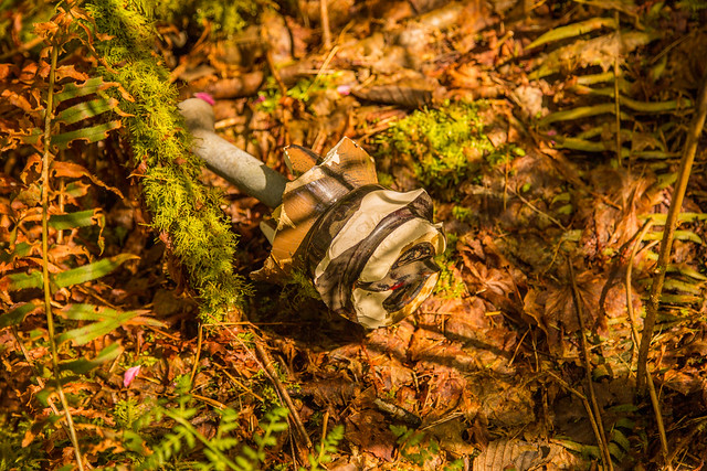

Discarded ceramic electrical insulator near Pumphouse Road at Buntzen Lake

A broken ceramic electrical insulator near Pumphouse Road.

I also found this striking piece of an old glass electrical insulator. Its green-blue glass and heavy moulded construction are typical of insulators once used on overhead electrical lines.


Old green glass electrical insulator found near Buntzen Lake

A fragment of an old green glass electrical insulator found in the Buntzen Lake area.

The Old Buntzen Lake Pipeline

Another interesting piece of infrastructure can be seen near the pumphouse. An older water pipeline emerges from a much larger metal cylinder approximately 25 m long.

I originally wondered whether the large cylinder was some type of backflow-prevention structure. I have not found documentation confirming its exact purpose, so it is probably safer simply to describe it as part of the old pipeline infrastructure.
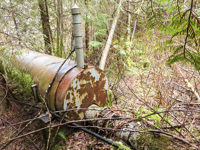

Old pipeline emerging from a large metal cylinder near the Buntzen Lake pumphouse

The old pipeline emerging from a much larger cylindrical section near the pumphouse.

Below is a closer view of one of the fittings on top of the larger cylinder.
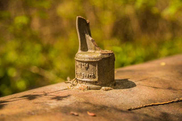

Detail of old Buntzen Lake pipeline infrastructure

A detail view of the old pipeline infrastructure.

This pipeline was associated with the freshwater supply system serving the Burrard Thermal Generating Station in Port Moody. Burrard was built in 1960 and used Buntzen Lake water for several plant purposes. Although electricity generation at Burrard ended in 2016, some infrastructure associated with its freshwater supply system has remained.

Artifacts at North Beach

In May 2014, I came across a collection of small metal objects that someone had apparently found around the North Beach area and arranged for display on the memorial there.

I do not know who collected them or exactly what each object was used for, but seeing them together was a reminder of just how much industrial activity has taken place around Buntzen Lake over the past century.
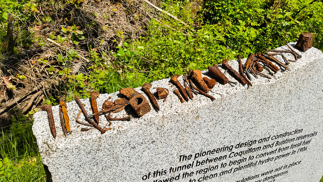

Old metal artifacts found near North Beach at Buntzen Lake

A collection of old metal objects displayed near North Beach in 2014.

An Industrial Drum in the Forest

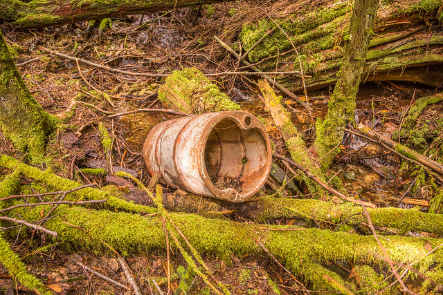
While following a rough shortcut between the Diez Vistas and Lakeview trails along a creek, I unexpectedly came across this old metal drum in the forest.

I do not know its age or original use, but it is another example of the industrial remnants that occasionally appear well away from the main recreation areas.

Old industrial metal drum in the forest near Buntzen Lake

An old metal drum encountered in the forest between the Diez Vistas and Lakeview trails.

Old Metalwork Near the Dam

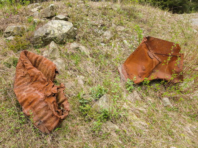
Close to the dam, I found these heavy pieces of old metalwork. Their exact original purpose is uncertain, although they may have been associated with the historic hydroelectric infrastructure in the area.

Historic metalwork near the Buntzen Lake dam

Old metalwork near the Buntzen Lake dam.

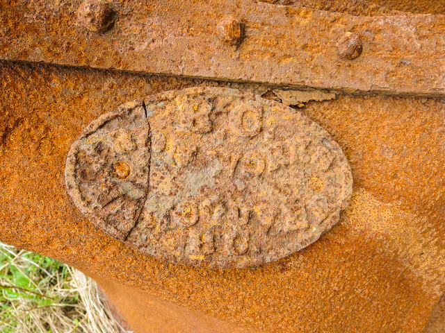
The most interesting feature is the manufacturer’s plate, which reads:

BC IRON WORKS
VANCOUVER, BC

BC Iron Works Vancouver manufacturer plate on historic metalwork at Buntzen Lake

The manufacturer’s plate reads “BC Iron Works Vancouver, BC.”

BC Iron Works was one of Vancouver’s early industrial manufacturers and operated in what is now the Railtown area near Gore Avenue and Alexander Street. I have not found documentation confirming when this particular piece of equipment was manufactured or exactly where it was originally installed, but the plate provides an interesting connection between Buntzen Lake and Vancouver’s early industrial history.

More of the Old Water Pipeline

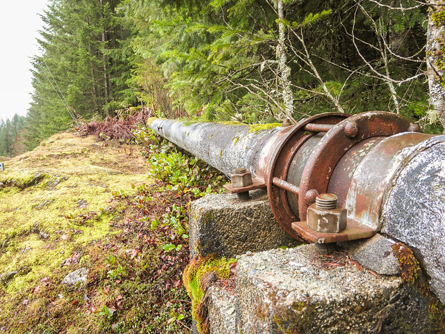
Sections of the former above-ground water pipeline can still be found in the Buntzen Lake area. The line was associated with supplying freshwater from Buntzen Lake toward the Burrard Thermal Generating Station.

Old Buntzen Lake water pipeline

A surviving section of the old Buntzen Lake water pipeline.

And here is one of the more unusual fittings or assemblies attached to a section of the old pipeline.
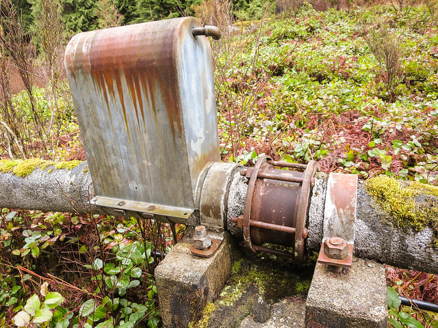

Old fitting on the Buntzen Lake water pipeline

An unidentified fitting on the old pipeline.

Old Transmission-Line Foundations

The early hydroelectric system also required transmission infrastructure to carry electricity away from Buntzen. Remnants of former transmission-line structures can still be found around the trails.

Below are several old concrete pole foundations that are no longer in use.
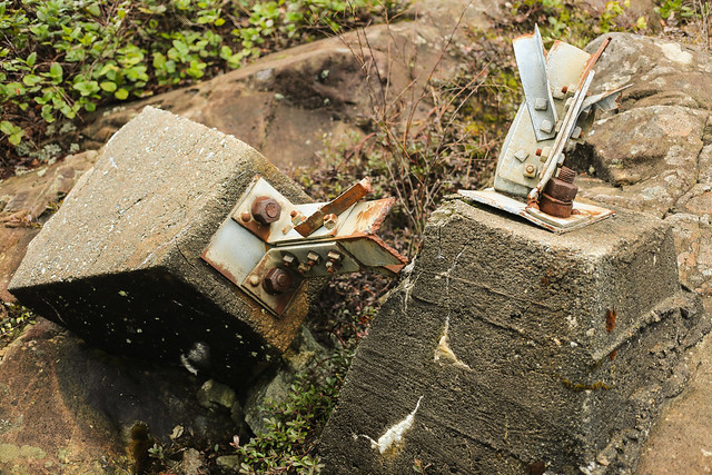

Old concrete hydro pole foundations near Buntzen Lake

Old concrete foundations from former electrical infrastructure.

A closer look shows the heavily rusted mounting bolts still embedded in the concrete.
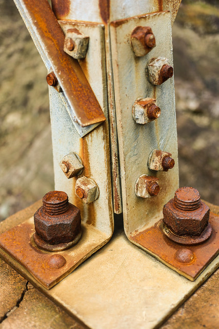

Rusty mounting bolts in an old hydro pole foundation at Buntzen Lake

Rusting mounting bolts remain in one of the old concrete foundations.

Another group of redundant pole foundations can be seen below.
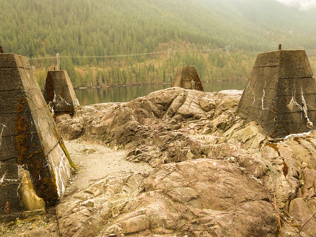

Redundant hydro pole foundations at Buntzen Lake

More remnants of former transmission infrastructure.

An Old Wooden Hydro Pole

On the Old Buntzen Lake Trail, I also came across this weathered wooden hydro pole. Old poles and foundations like these are easy to walk past without noticing, but they are physical reminders of the infrastructure that once surrounded the lake.
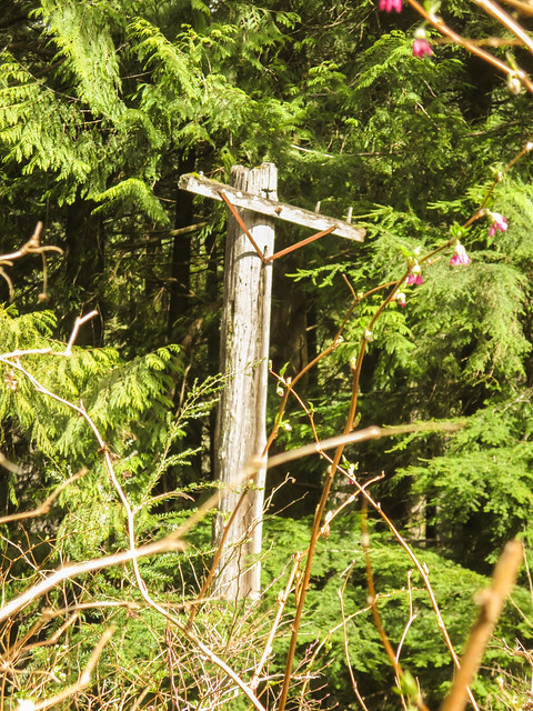

Old wooden hydro pole on the Old Buntzen Lake Trail

An old wooden hydro pole along the Old Buntzen Lake Trail.

More Than a Recreation Lake

These remnants make Buntzen Lake particularly interesting to explore. The forest has reclaimed much of the landscape, but pieces of the old hydroelectric and industrial infrastructure still appear beside roads, trails, and in unexpected places.

The hydroelectric system itself is far from abandoned. Buntzen No. 1 remains part of BC Hydro’s generating system, and the Coquitlam-Buntzen diversion tunnel continues to move water from Coquitlam Reservoir into Buntzen Lake.

For more about how the hydroelectric system developed, see my Buntzen Lake history page. BC Hydro also provides current information about the history and operation of Buntzen Lake.