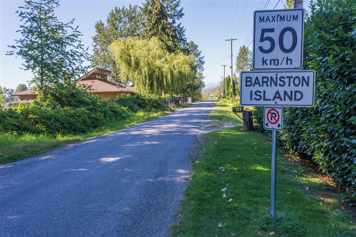
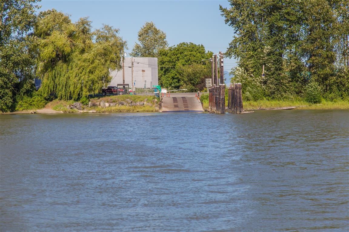
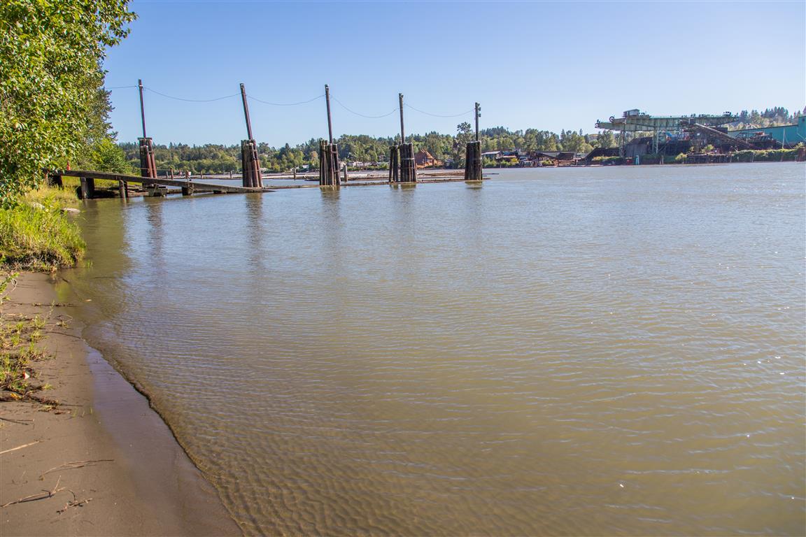
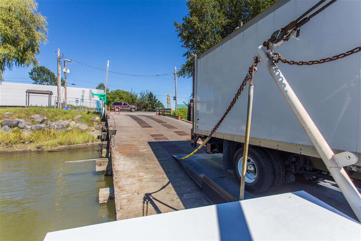
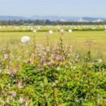
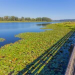
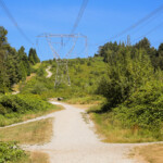
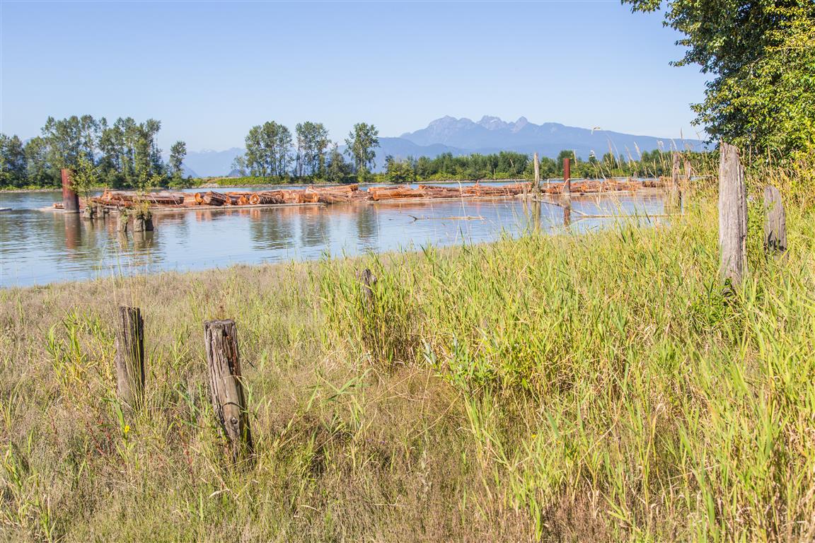
Barnston Island is a 1,500-acre agricultural island in the Fraser River. There is a free ferry that takes you to the island at the east foot of 104th Avenue in Surrey. When I went in 2016, the parking was free.
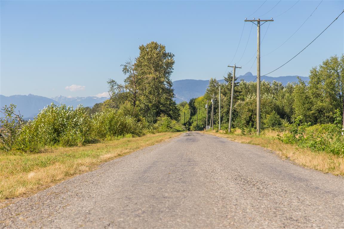
There are many choices for recreation here. You can bike or walk around the island, or just go to one of the ends and back again. You can take cars on the island, but there are no parking lots (so what’s the point unless you live there?).
On this particular visit, I only walked to the west point of the island and back — I didn’t do the full loop around the island.
Interesting Facts
Barnston Island was named in 1827 after George Barnston, a Hudson’s Bay Company clerk
The Barnston Island Ferry has been running since 1916 and is the last remaining government-operated ferry on the lower Fraser River. In the 1920s, it doubled as a milk shuttle, sailing the island’s 10 km perimeter to pick up milk cans from local dairy farms before delivering them to Port Kells
The island is part of BC’s Agricultural Land Reserve, and didn’t get electricity until 1938
Being low-lying Fraser River floodplain, the island sits in the dry maritime subzone of the Coastal Western Hemlock (CWHdm) biogeoclimatic zone, the zone that covers most of the Fraser Valley lowlands
The actual GPS track from this walk — to the west point and back, not the full perimeter. Green marks the start/end point. Use the layer control in the top right to switch to a satellite view.
Photos
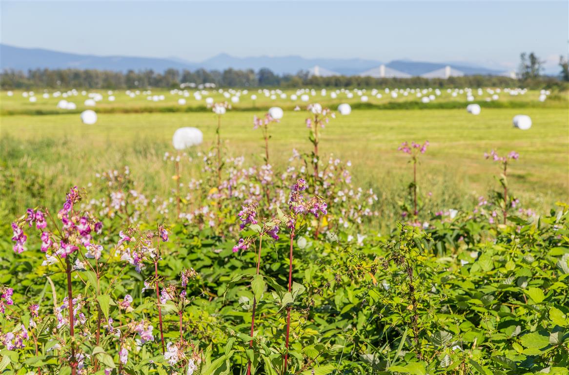
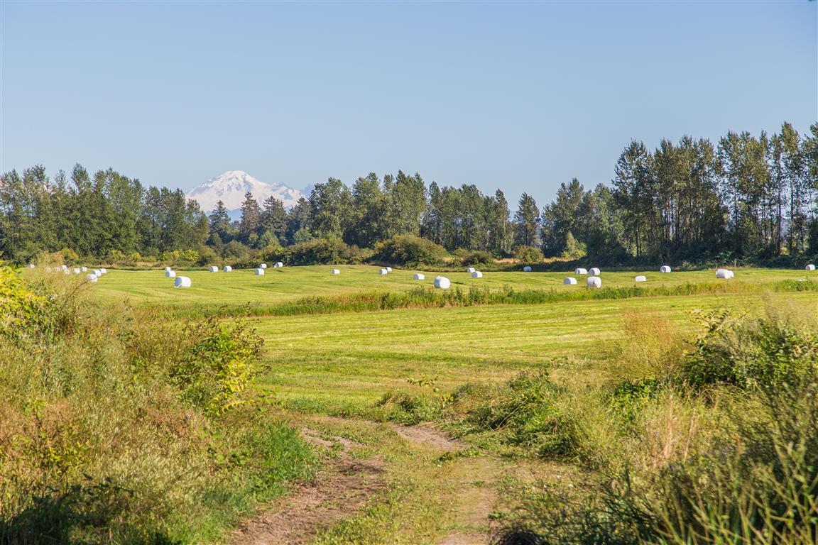
Farming fields
Golden Ears
Mt. Baker
Mt. Baker
Perimeter road
Road on island
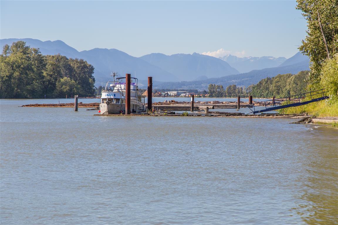
Boat on Fraser River
Ferry dock
Ferry dock
Loading onto ferry
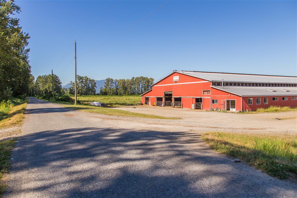
Barn
Conditions on this trail can change over time — trailheads move, access rules shift, and businesses close. This post reflects what I found when I did the walk.
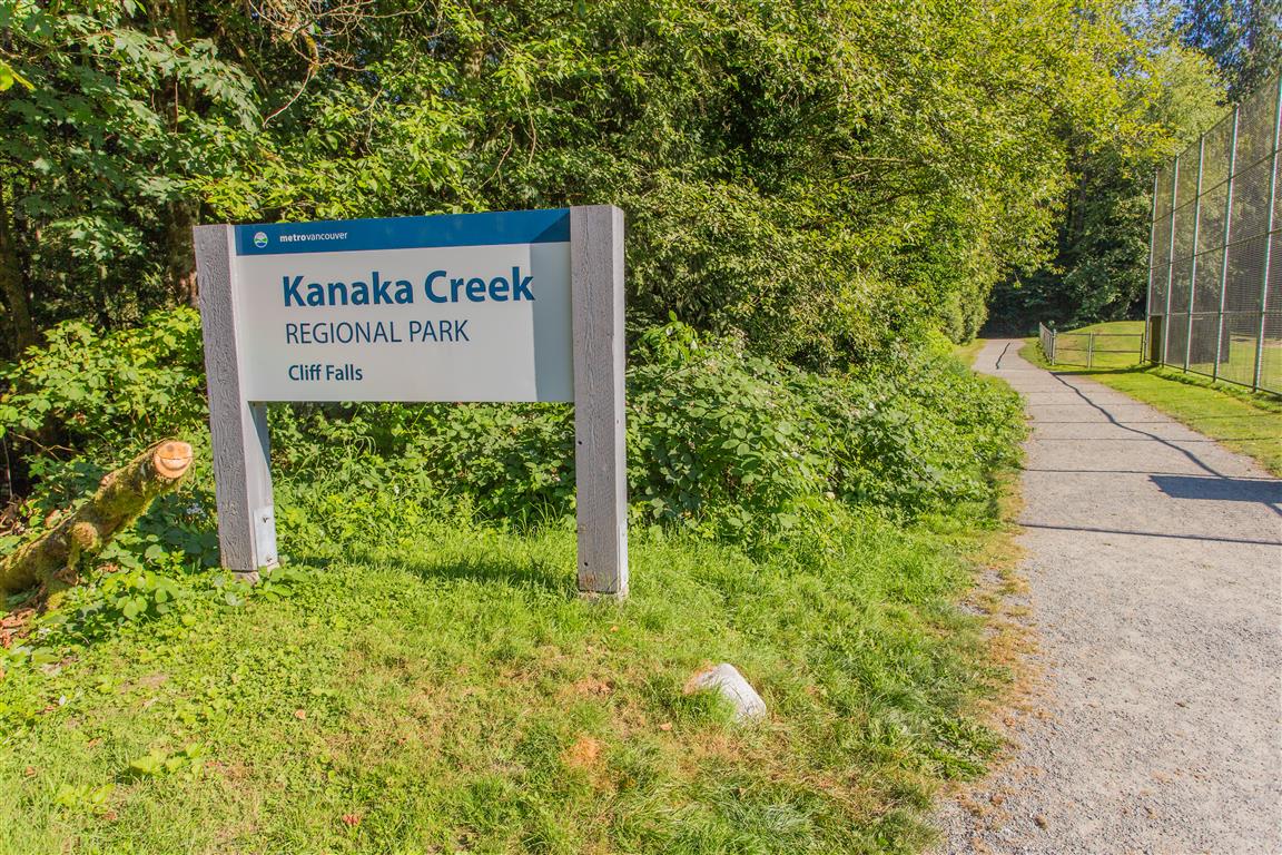
Kanaka Creek Regional Park is located in the middle of Maple Ridge. I can’t believe how many times I’ve driven by and never knew it was there!
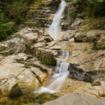
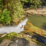
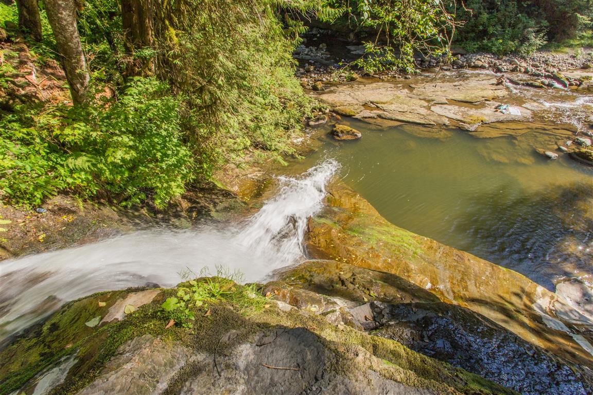
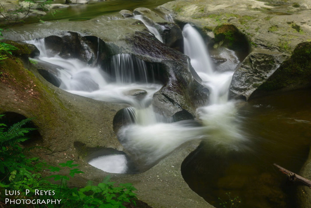
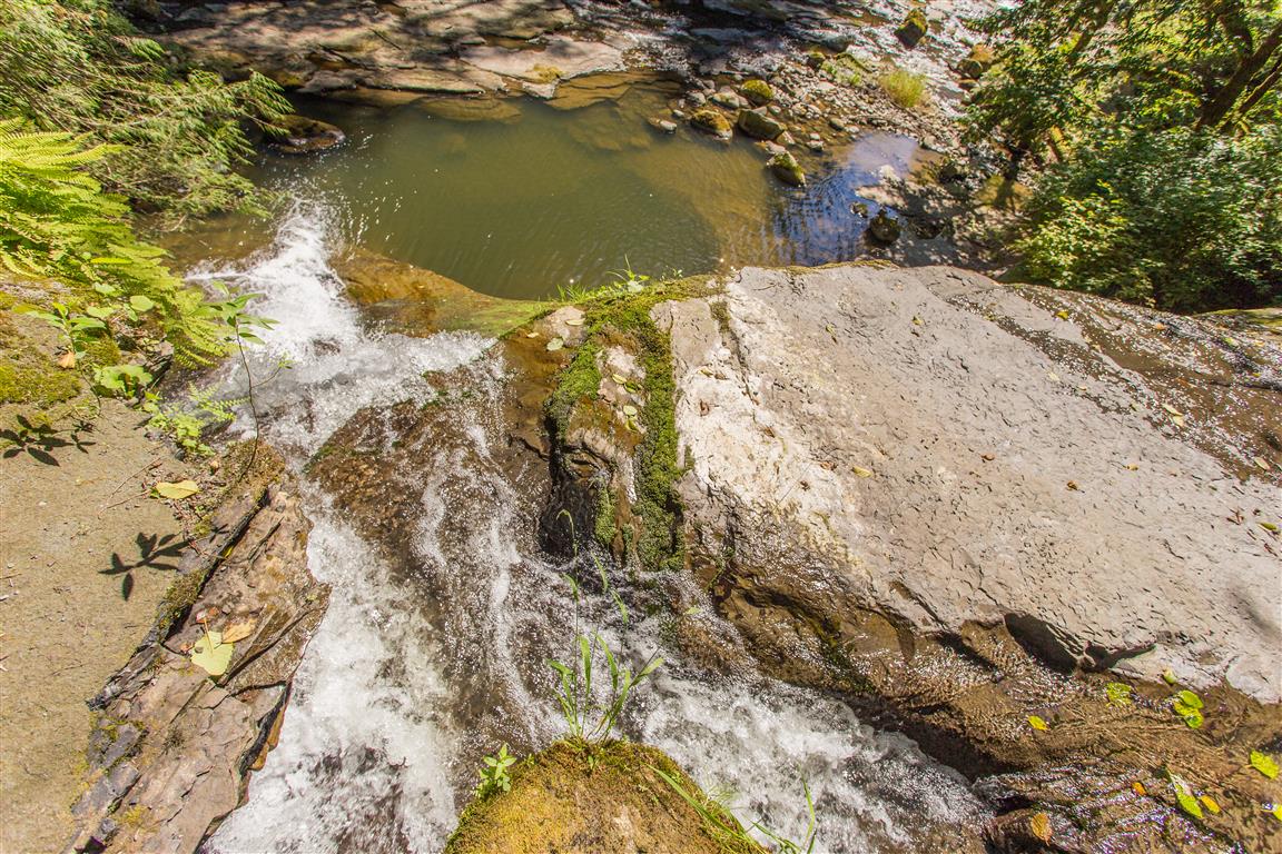
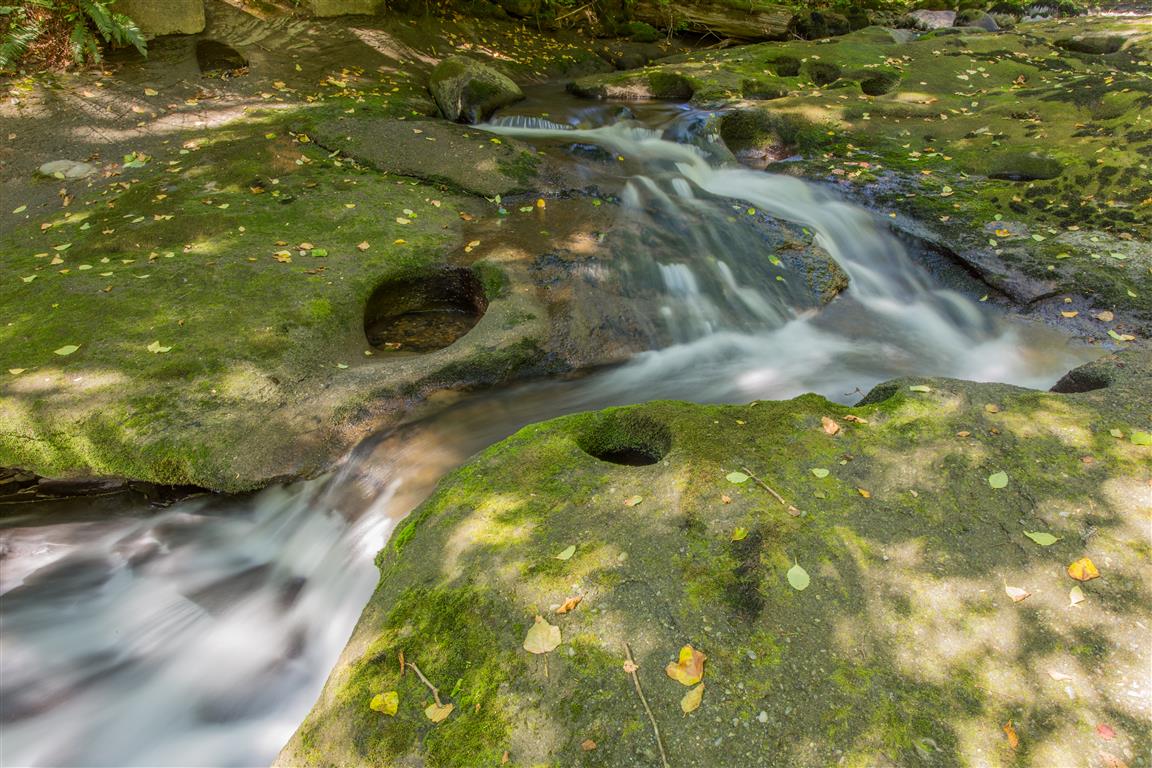
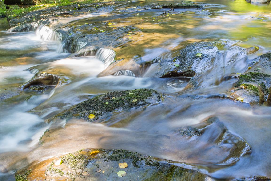
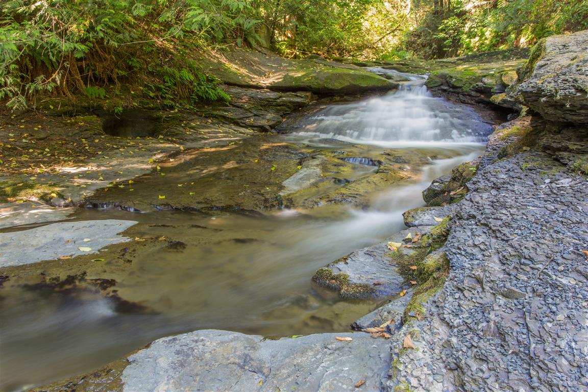
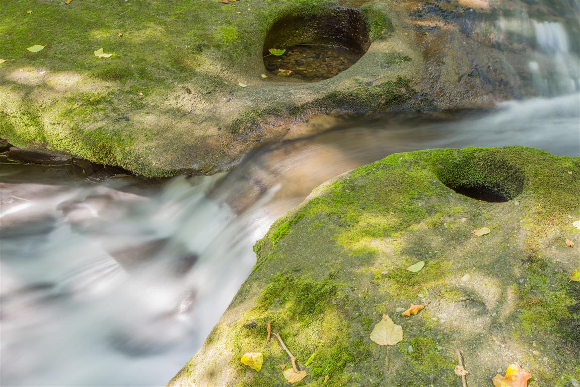
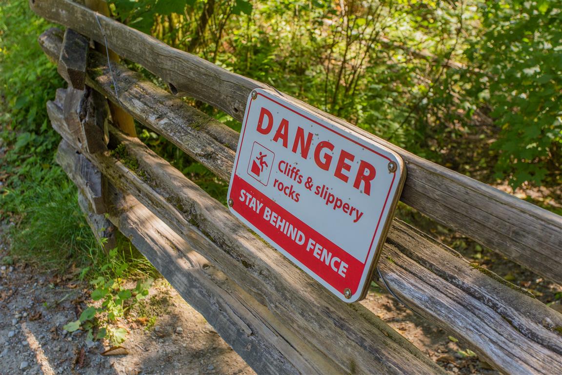
The highlight of this park is the cliff falls formed from sandstone. Over many years, running water has carved a deep canyon and interesting rock formations. Be very careful if you get close to the creek — the rocks are very slippery. There is also a nice network of trails that take you around the park, and it’s mostly under the shade of large trees, so it’s great for hot days!
This park is similar in features and geology to Whatcom Falls Park in Bellingham, Washington.
Interesting Facts
Kanaka Creek takes its name from “Kanaka,” a term used for Hawaiian labourers who worked at nearby Fort Langley in the 1800s, after whom the creek was named
Cliff Falls has been a popular local picnic and swimming spot for over a century — photos in the Maple Ridge Museum’s archives show a Labour Day picnic at the falls back in 1916
The park sits in the dry maritime subzone of the Coastal Western Hemlock (CWHdm) biogeoclimatic zone, the same low-elevation zone that covers most of the Fraser Valley
Trail Stats
Here are the stats for the loop I did today:
Distance: 2.1 km
Time: 1 hour
Low point: 63 m
High point: 104 m
Elevation gain: 41 m
Trailhead/parking: 49° 12′ 46.2″ N, 122° 31′ 34.4″ W (Google Map)
The Route
The actual GPS track from this walk, drawn on the map below. Green marks the start/end point. Use the layer control in the top right to switch to a satellite view.
Photos
Big waterfall
Cliff Falls
Big waterfall
Kanaka Creek
Kanaka Creek
Kanaka Creek
Kanaka Creek
Danger!
Kanaka Creek Regional Park
Conditions on this trail can change over time — trailheads move, access rules shift, and businesses close. This post reflects what I found when I did the hike.
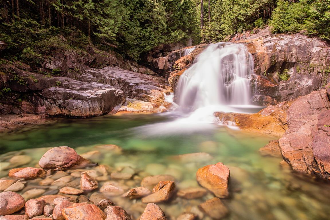
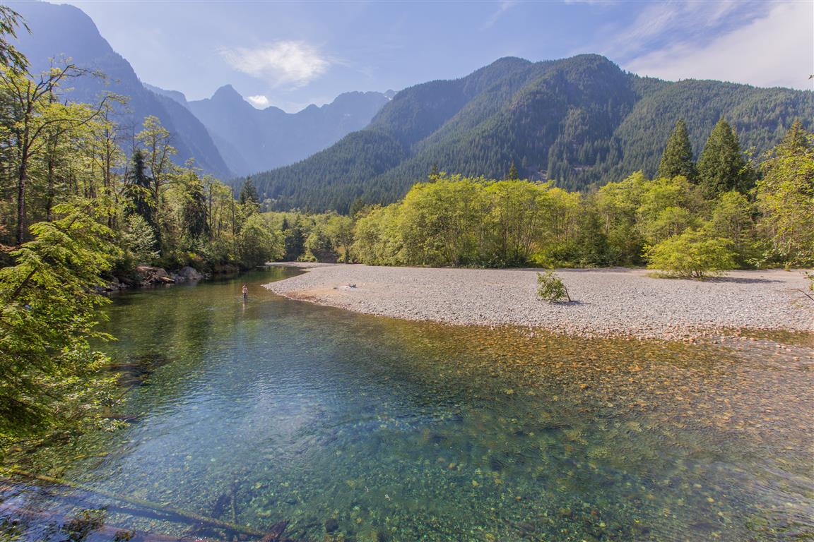
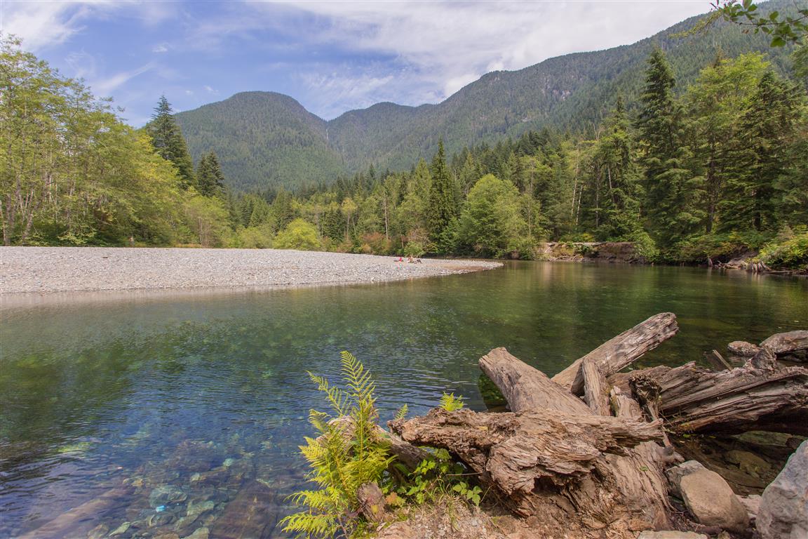
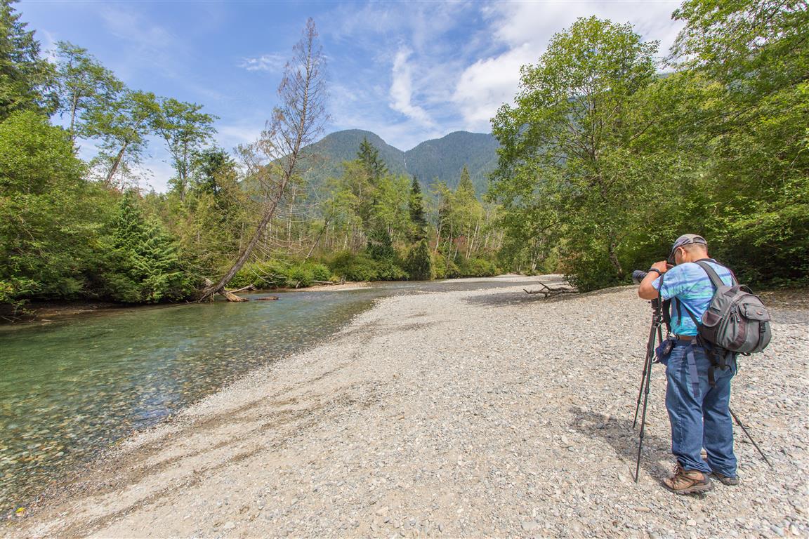
This has got to be one of the most popular hikes in Golden Ears Provincial Park. Due to its easy, flat trail, stunning views and waterfall at the end, this hike is even family friendly. The hike starts at the East Canyon parking lot and follows the Lower Falls Trail. The trail is mostly shaded by the trees and follows Gold Creek. Stop every so often to check out the views, and even go in the creek on a hot day. At the end of the 2.6 km trail, you are treated with stunning views of Gold Creek Falls. There is also an Upper Falls, but the trail is much rougher than the Lower Falls Trail and is not recommended for family travel.
Interesting Facts
Gold Creek runs from headwaters deep in the Coast Mountains down into Alouette Lake, and the Lower Falls you’ll see on this hike are one of the most visited spots in the whole park
Despite the name, there’s no major mining history tied to Gold Creek itself, but the area is close to Pitt Lake, long associated with the legend of Slumach’s lost gold mine, one of BC’s best-known treasure stories. Small-scale gold panning is still done in the Alouette area today
This trail sits in the Coastal Western Hemlock (CWH) biogeoclimatic zone, the zone that covers most low-elevation forest in this part of the Coast Mountains, with western hemlock, western red cedar, and Douglas fir as the dominant trees
Trail Stats
Distance: 5.2 km (return)
Time: 1 to 2 hours
Low point: 160 m
High point: 237 m
Elevation gain: 77 m
Parking/trailhead: 49° 19′ 38″ N, 122° 27′ 47″ W (Google Map)
The Route
The actual GPS track from this hike, drawn on the map below. Green marks the start/end point. Use the layer control in the top right to switch to a satellite view.
Photos
Gold Creek Falls
Gold Creek
Gold Creek
Stop alongside the creek
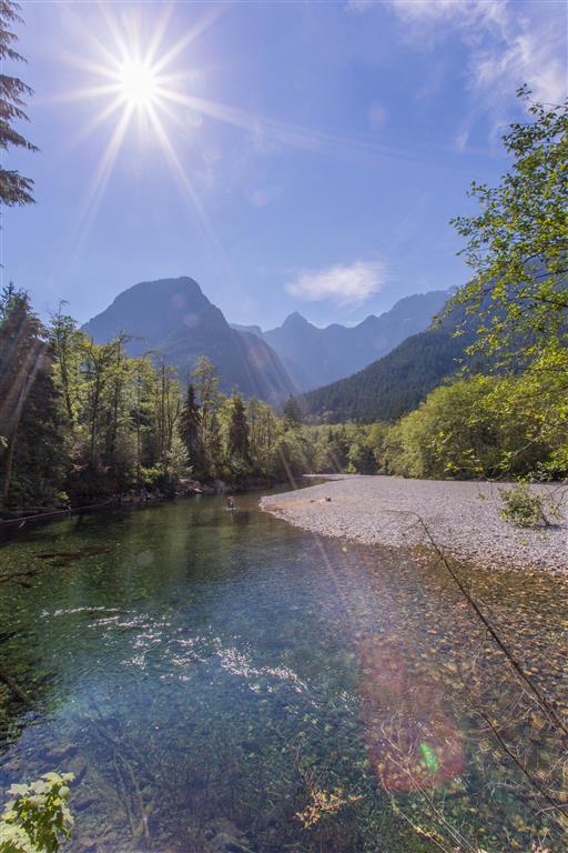
Sun shining over the creek
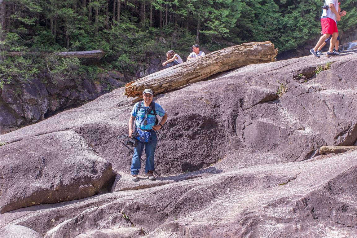
The rocks at the Lower Falls
Conditions on this trail can change over time — trailheads move, access rules shift, and businesses close. This post reflects what I found when I did the hike.
Before You Hike
Before heading out on your hike, make sure you are well prepared. This means having the TEN ESSENTIALS. It is also important to leave a trip plan (route details and estimated return time) with someone you trust.
Bring your smartphone, fully charged, and put it in airplane mode while hiking. I always bring backup battery packs for extra peace of mind. It is highly recommended that you bring a GPS device. I use my smartphone with a GPS app (Backcountry Navigator). The GPS will work in airplane mode. Learn how to use it before your hike.
For anyone new to hiking, there is a rule that hikers follow called “Leave No Trace” or LNT. The concept is generally to pack out what you pack in and respect nature, so all future visitors can enjoy what you have enjoyed. To learn more about LNT, please check out this blog by a certified LNT Trainer.
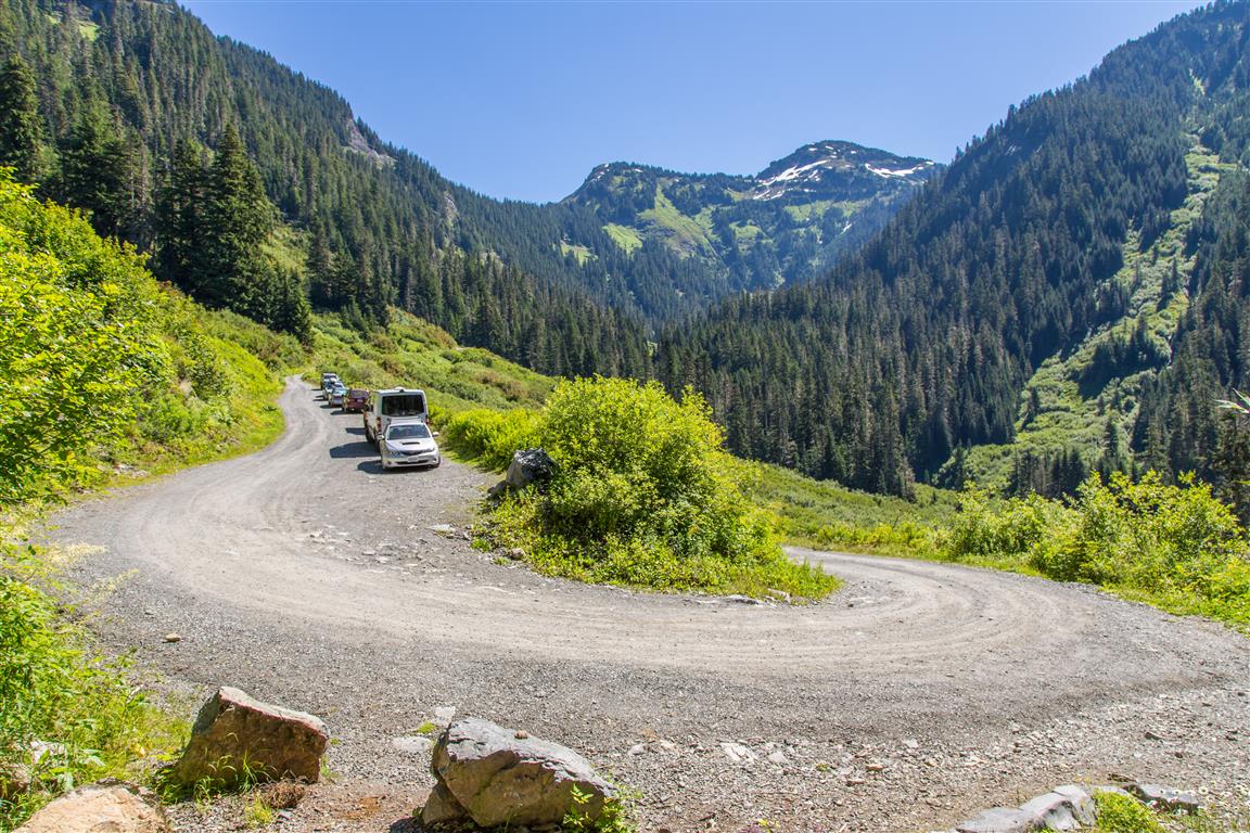
The Mount Baker area never ceases to amaze me. The 4.2 mile (6.8 km) gravel road up to the trailhead is not bad, and I think most 2WD cars will make it. The road is better than the Skyline Divide road. You just have to go slow and watch for potholes and oncoming traffic.
The location of the start of the forestry road (NF-3065) to the trailhead is here.
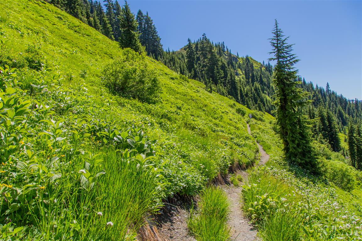
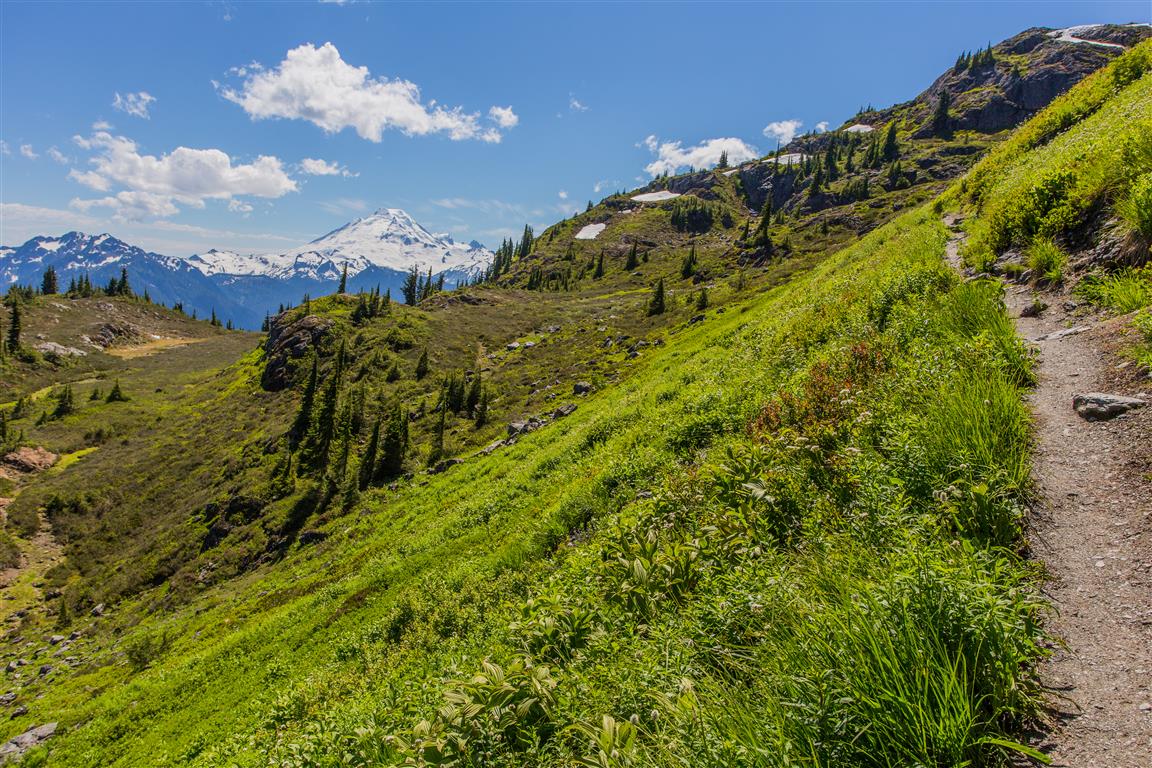
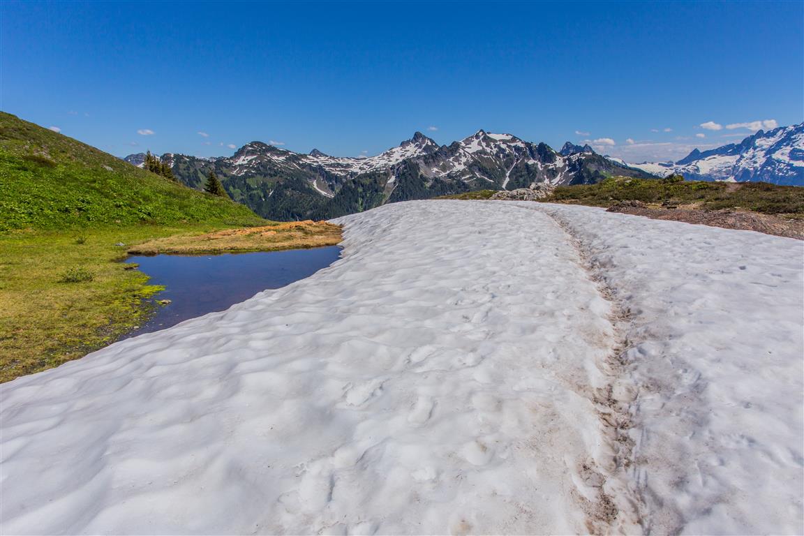
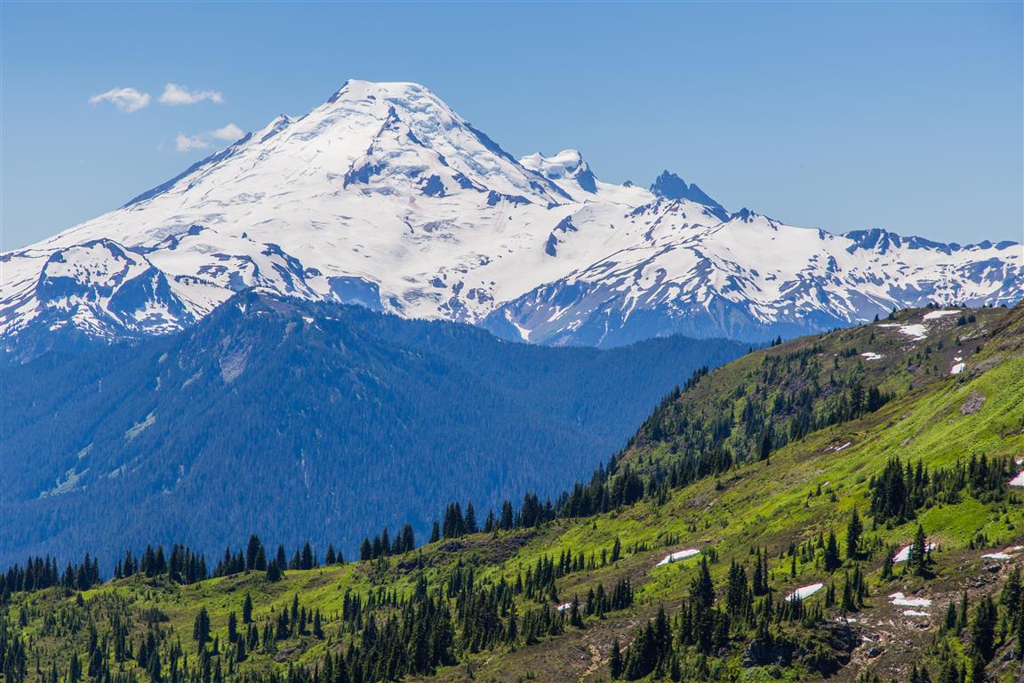
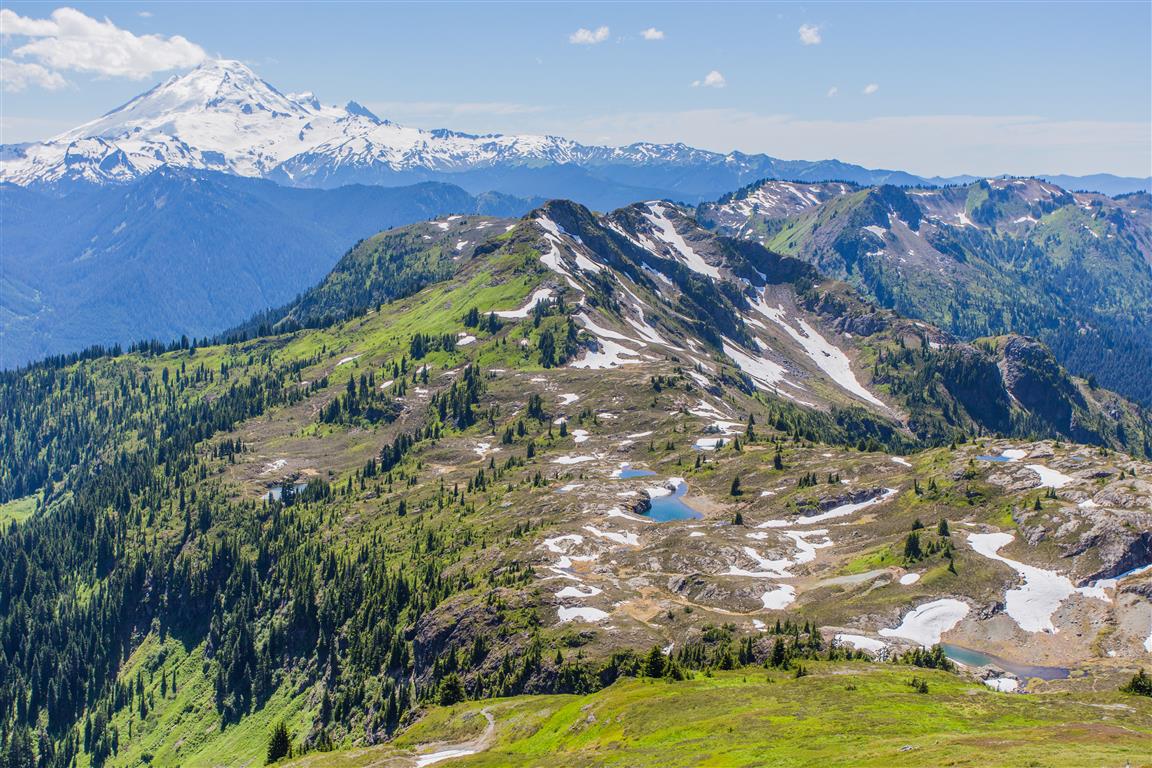
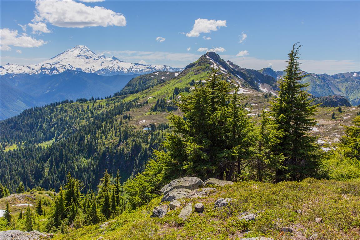
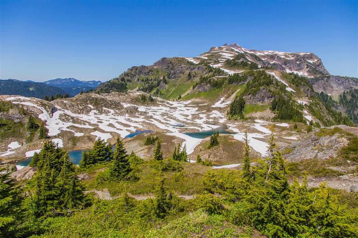
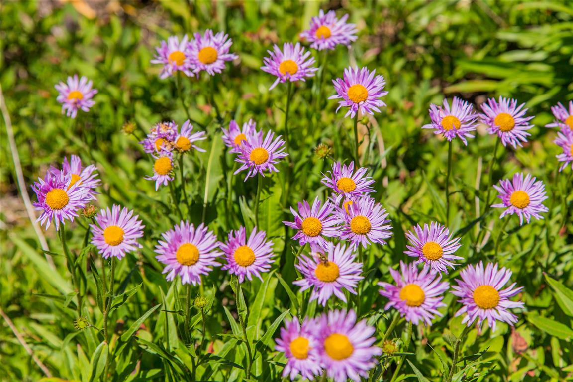
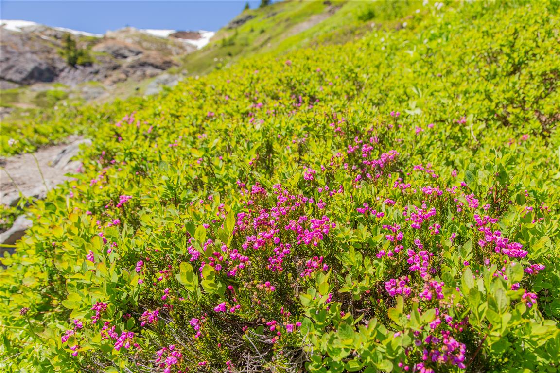
It was a beautiful sunny day, and the views were stunning. There were many wildflowers to be seen and minor snow patches which are easy to cross. I put on bug spray at the beginning and didn’t have a problem with the bugs — no bites!
The trail is a gradual climb and never really steep. The steepest part is at the end, on the way up to the butte, but it’s short and pretty easy.
I highly recommend this hike!
Interesting Facts
The current trail replaced an older route called the “Keep Cool Trail,” originally built by miners to access gold prospecting sites in the meadows below the butte. That old trail is now closed
The complex geology here supports an unusually high diversity of ferns. The Washington Native Plant Society has noted that this trail hosts somewhere between 30 and 37 species of ferns and lycophytes, more than any other day hike in North America
This hike sits almost entirely within the subalpine zone, generally the band between about 1,200 and 2,100 m elevation in the North Cascades, which lines up closely with this trail’s range of 1,075 to 1,896 m
Permits & Border Crossing
Remember: you will need a Northwest Forest Pass, which can be purchased in person at the Glacier Public Service Center at 10091 Mt. Baker Highway, Glacier, WA (link to map).
Border crossing tips: bring your passport, Nexus, or enhanced ID. No fruit, no vegetables, no meat (this isn’t a complete list). Trail mix is okay.
A great resource for current conditions for this hike is the WTA website. Check it out!
Trail Stats
Distance: 12.6 km (7.8 miles)
Time: 6 hours
Low point: 1,075 m
High point: 1,896 m
Elevation gain: 821 m
Trailhead: 48° 56′ 36″ N, 121° 39′ 45.7″ W (Google Map)
The Route
The actual GPS track from this hike, drawn on the map below. Green marks the start/end point. Use the layer control in the top right to switch to a satellite view.
Photos
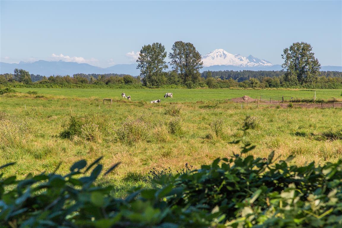
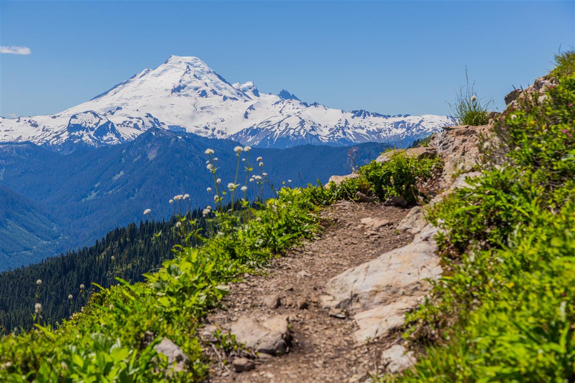
Mt. Baker from the trail
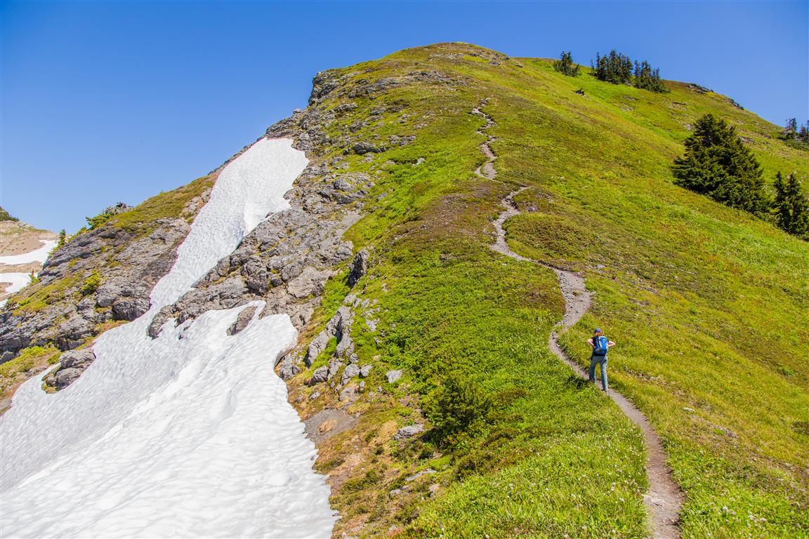
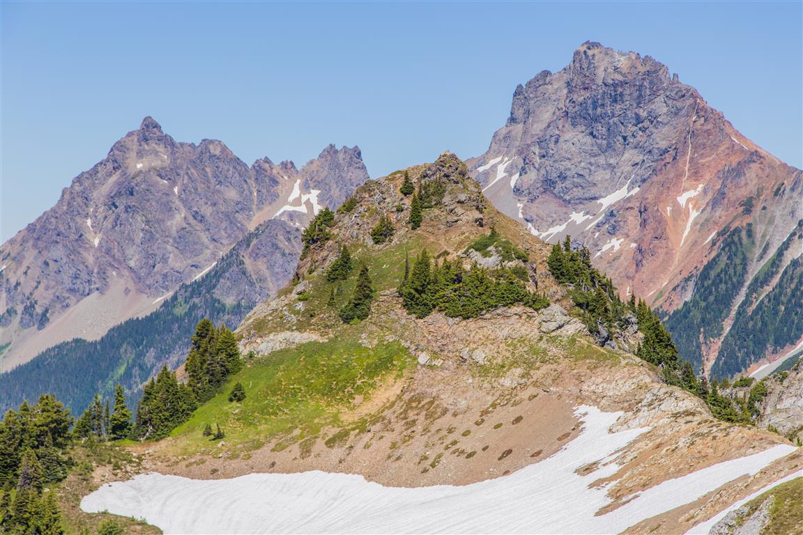
Yellow Aster Butte
Trail
Trail
Some snow today
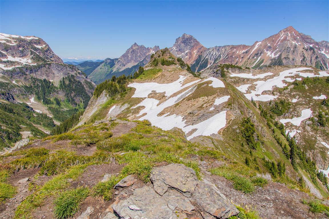
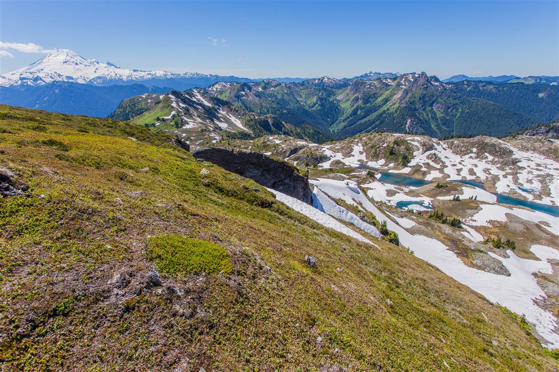
Scenery
Push to the butte
Mt. Baker
Mt. Baker
More scenery
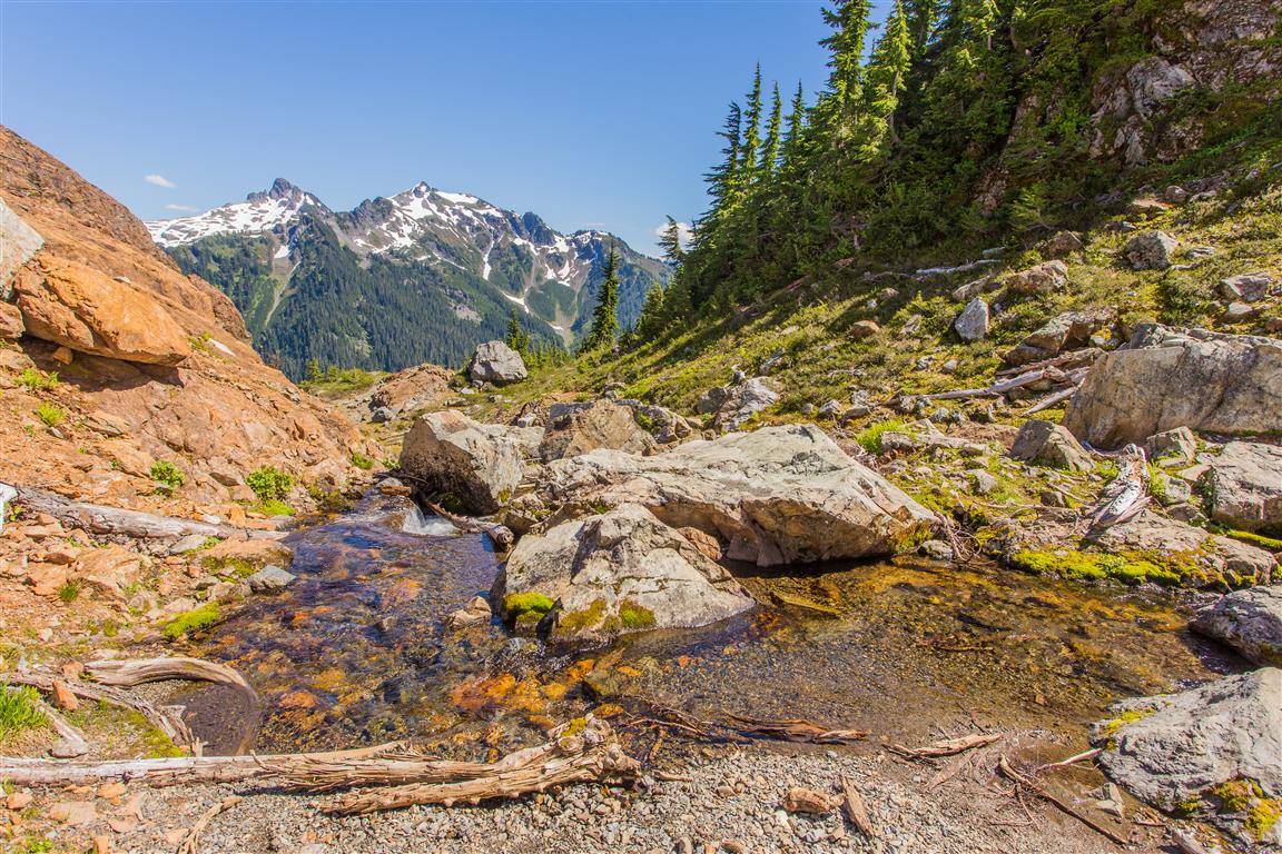
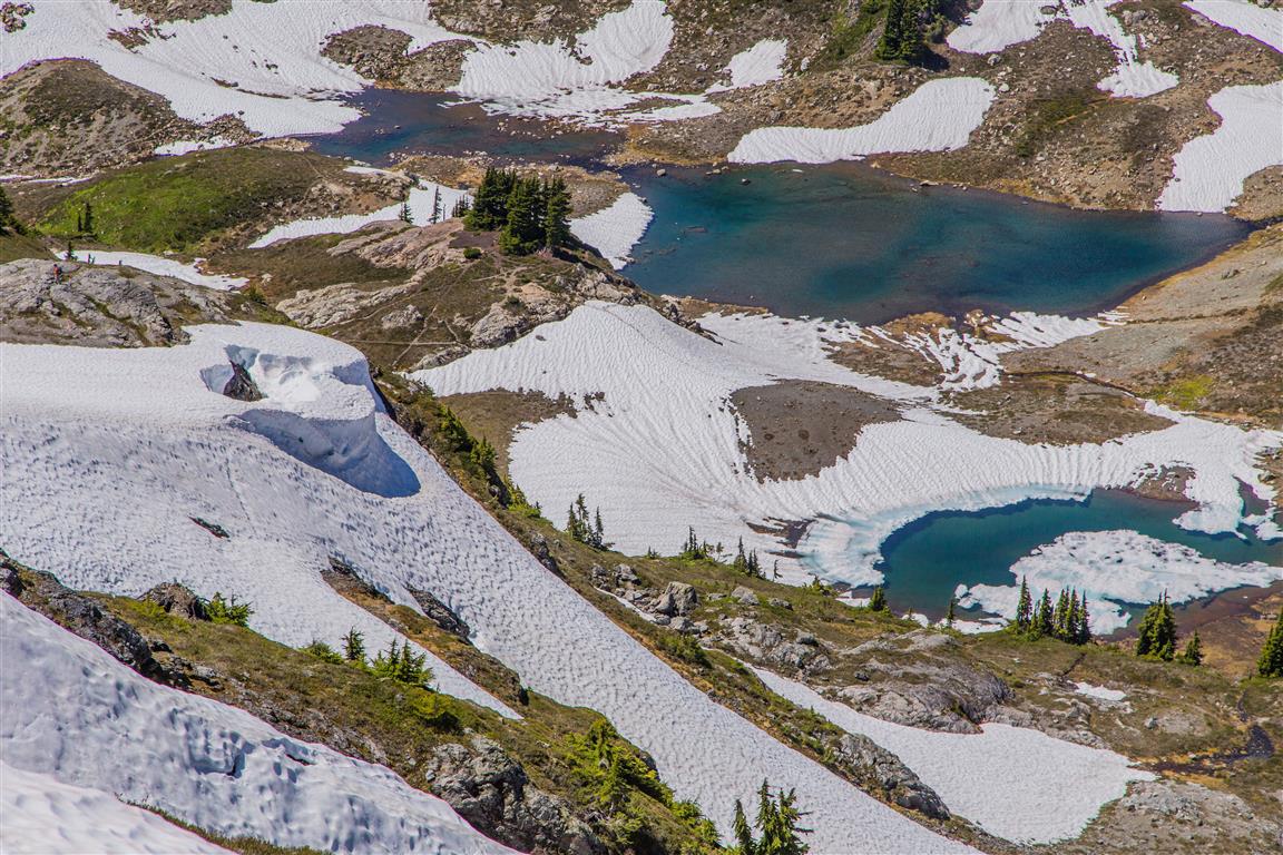
Meltwater stream
Meltwater lakes
Interesting snow formation
Colourful flowers
Baker again
Road at trailhead
Wildflowers
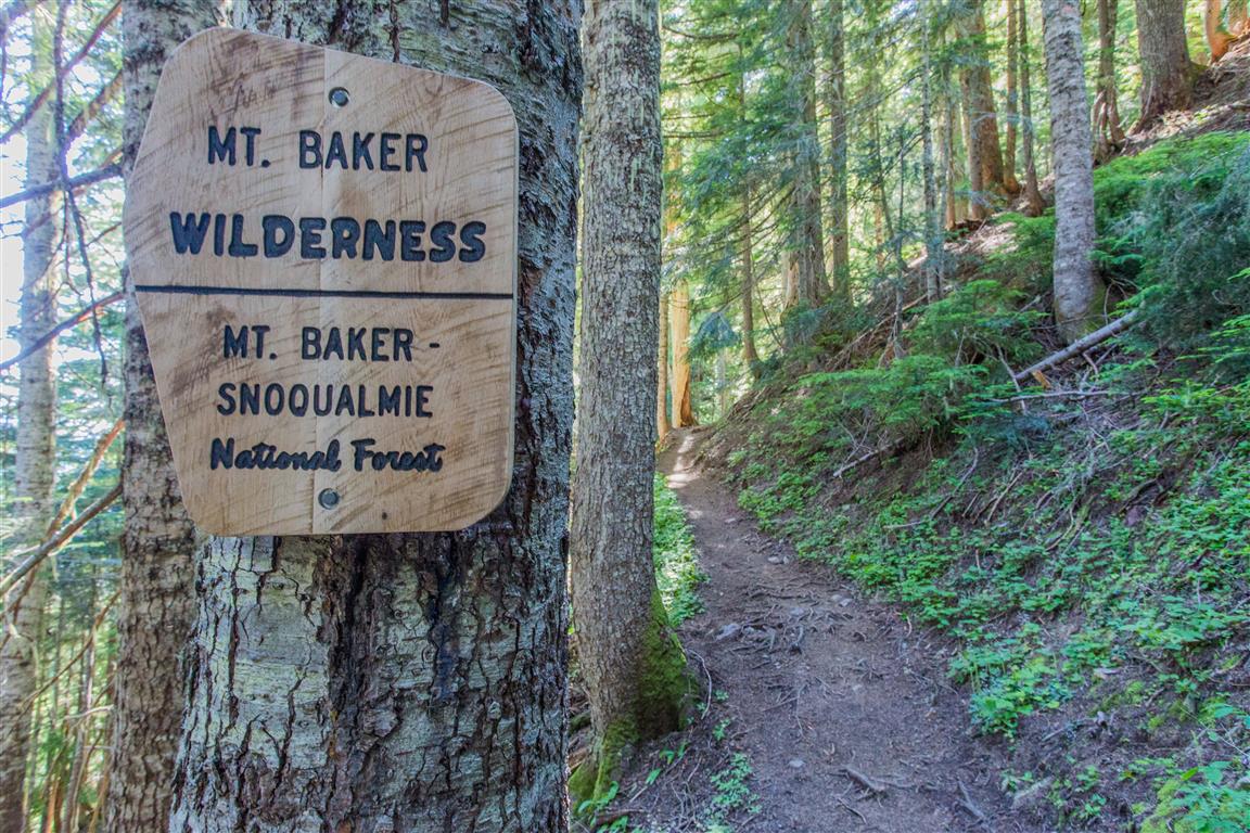
Trail sign
Conditions on this trail can change over time — trailheads move, access rules shift, and businesses close. This post reflects what I found when I did the hike.
Before You Hike
Before heading out on your hike, make sure you are well prepared. This means having the TEN ESSENTIALS. It is also important to leave a trip plan (route details and estimated return time) with someone you trust.
Bring your smartphone, fully charged, and put it in airplane mode while hiking. I always bring backup battery packs for extra peace of mind. It is highly recommended that you bring a GPS device. I use my smartphone with a GPS app (Backcountry Navigator). The GPS will work in airplane mode. Learn how to use it before your hike.
For anyone new to hiking, there is a rule that hikers follow called “Leave No Trace” or LNT. The concept is generally to pack out what you pack in and respect nature, so all future visitors can enjoy what you have enjoyed. To learn more about LNT, please check out this blog by a certified LNT Trainer.