All posts by admin

Teapot Hill


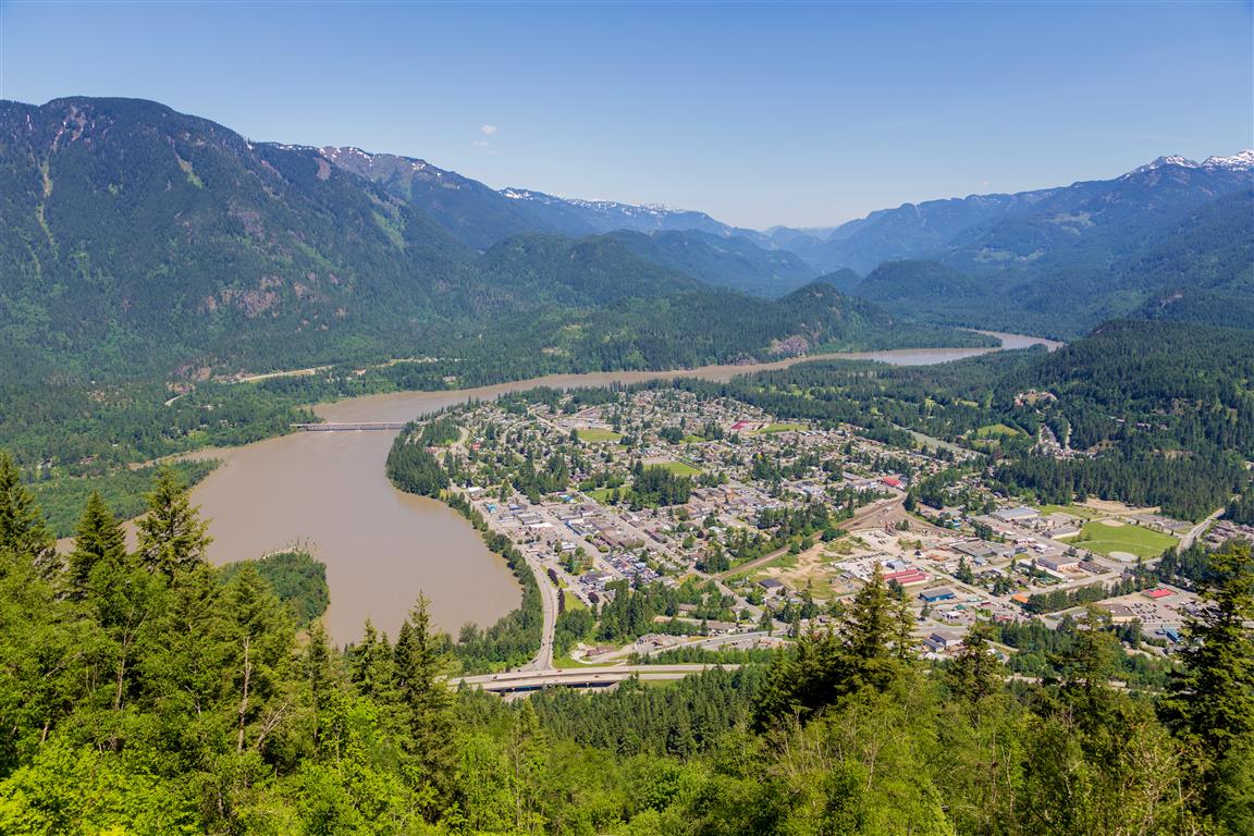
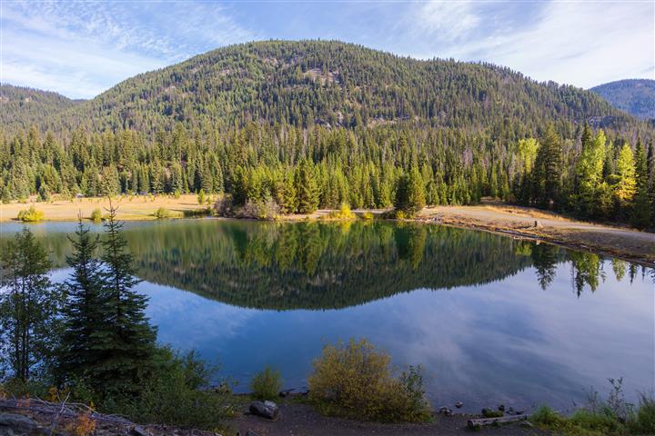
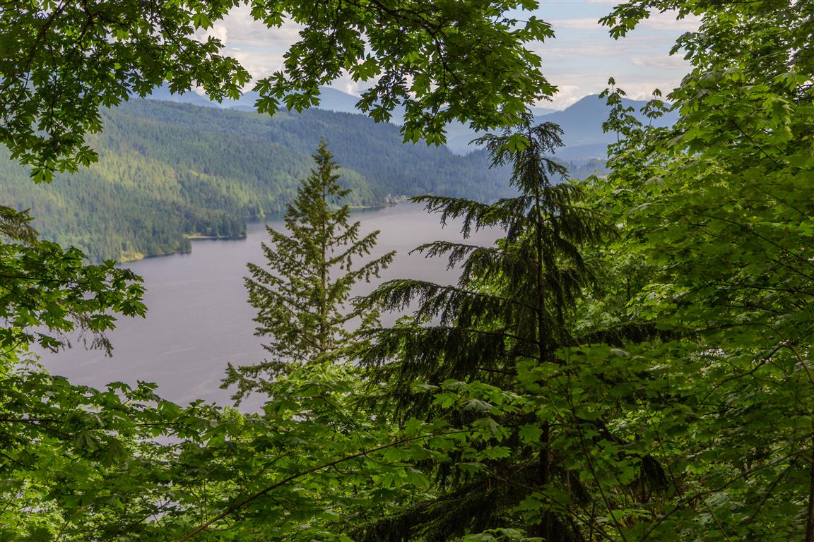
Teapot Hill is in Cultas Lake Provincial Park in south Chilliwack.  Cultas Lake is a very popular camping location in the summer where thousands of people flock every year.

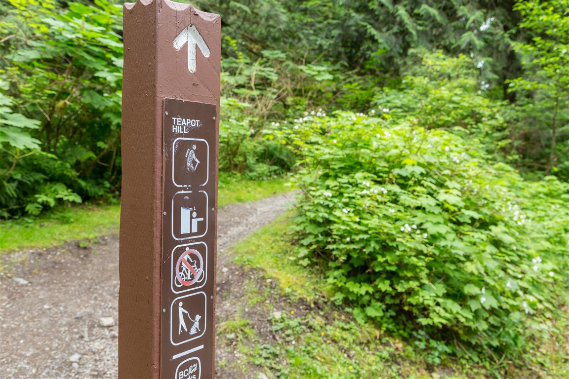
Teapot Hill trail starts on the south shore of the lake and there is a small parking lot designated for teapot hill hikers. I would assume this parking lot fills up fast. On the morning we went, there were only a couple of other cars at 7:45am when we started.

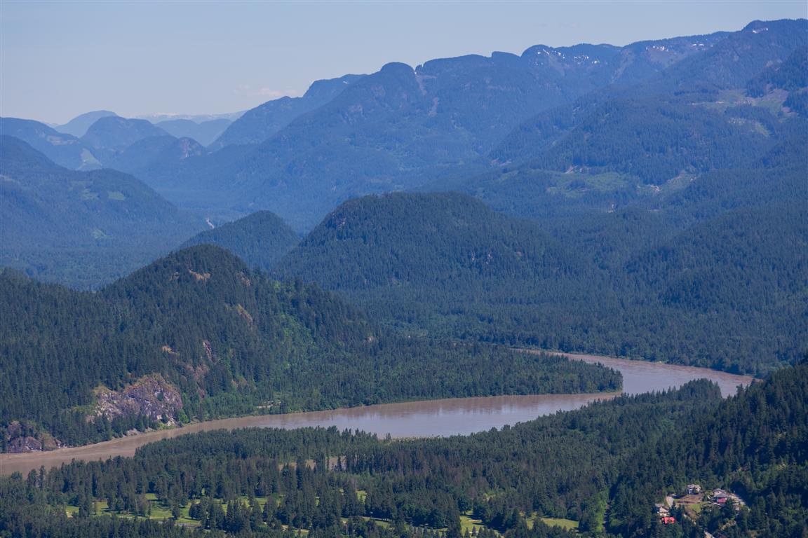
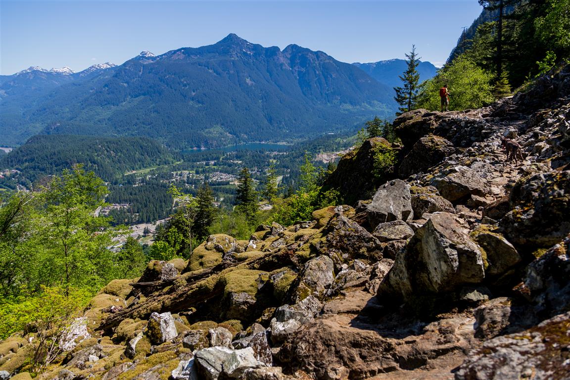
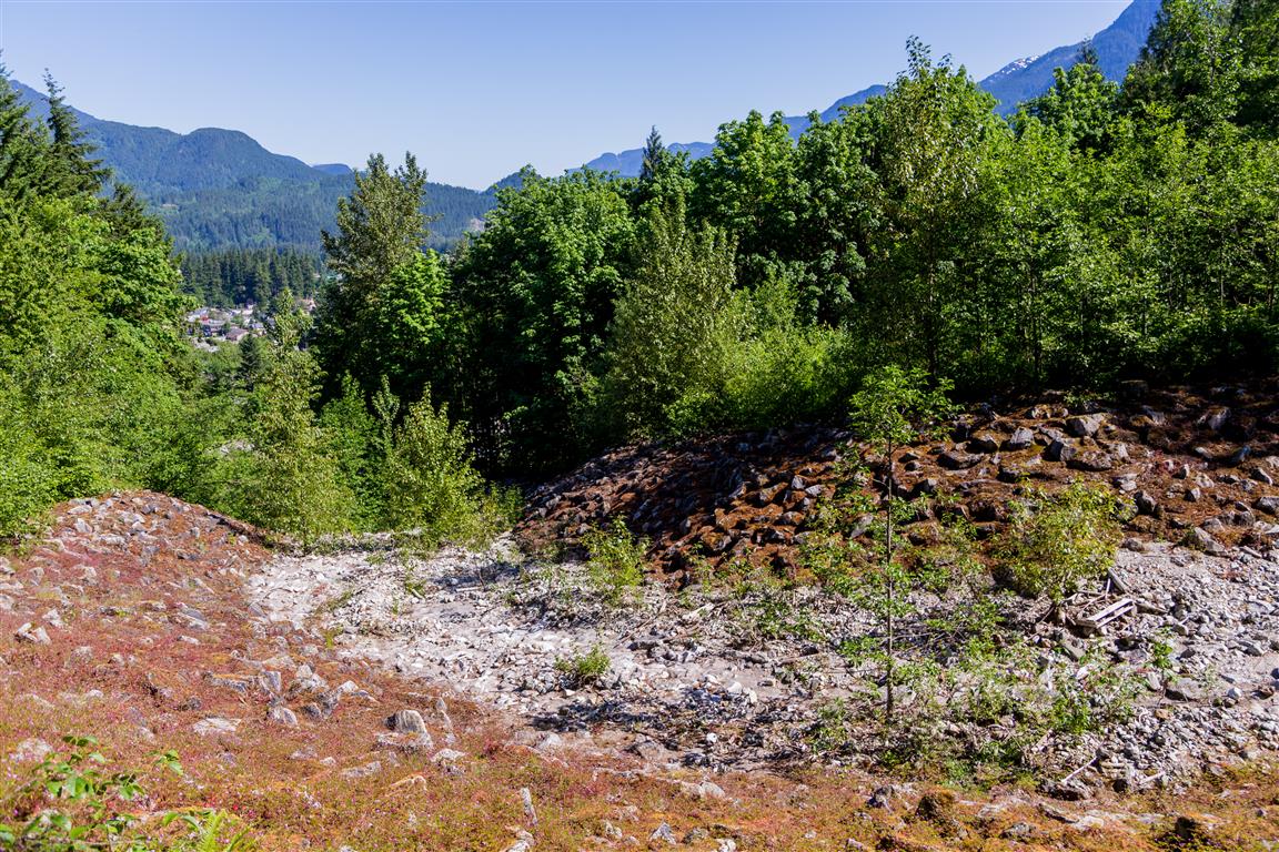
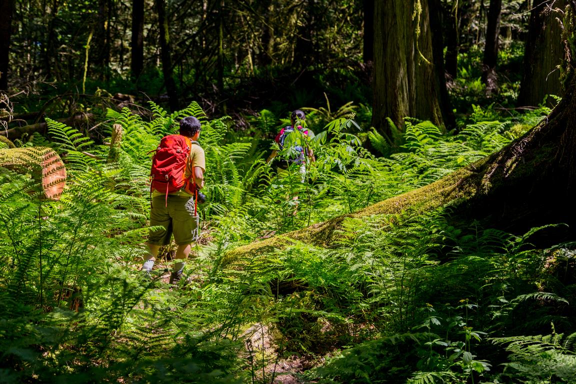
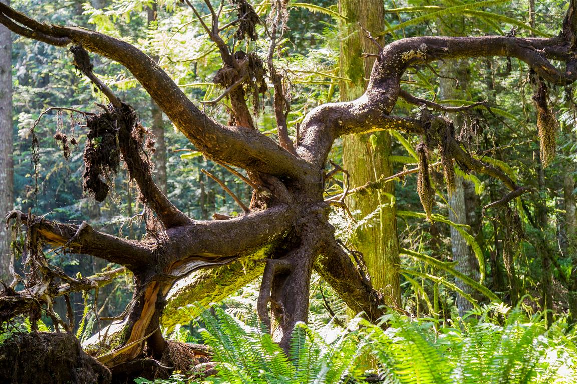
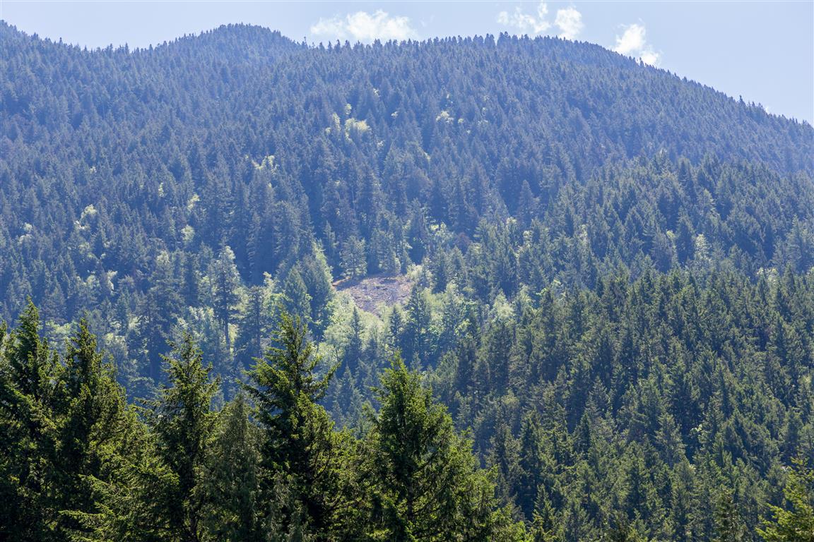
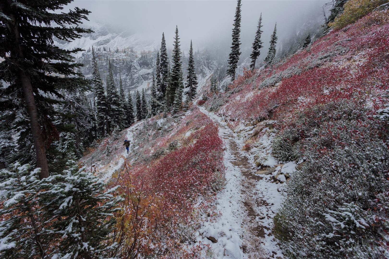
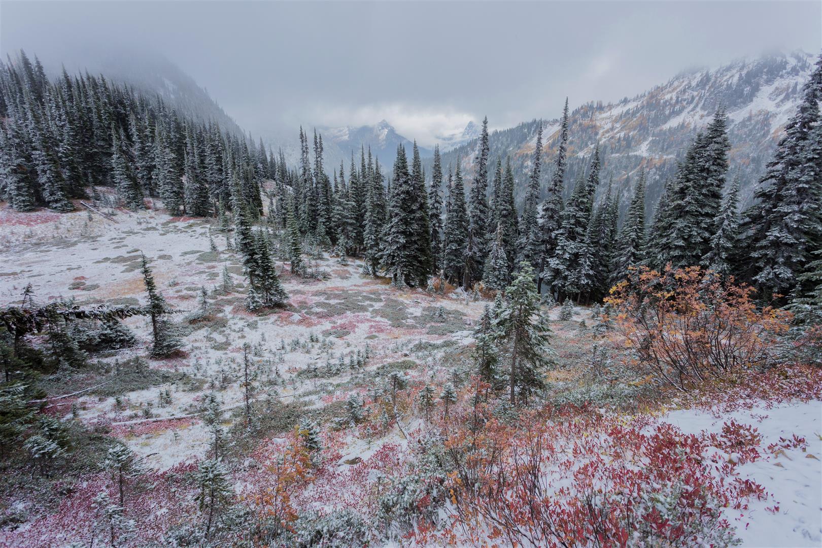
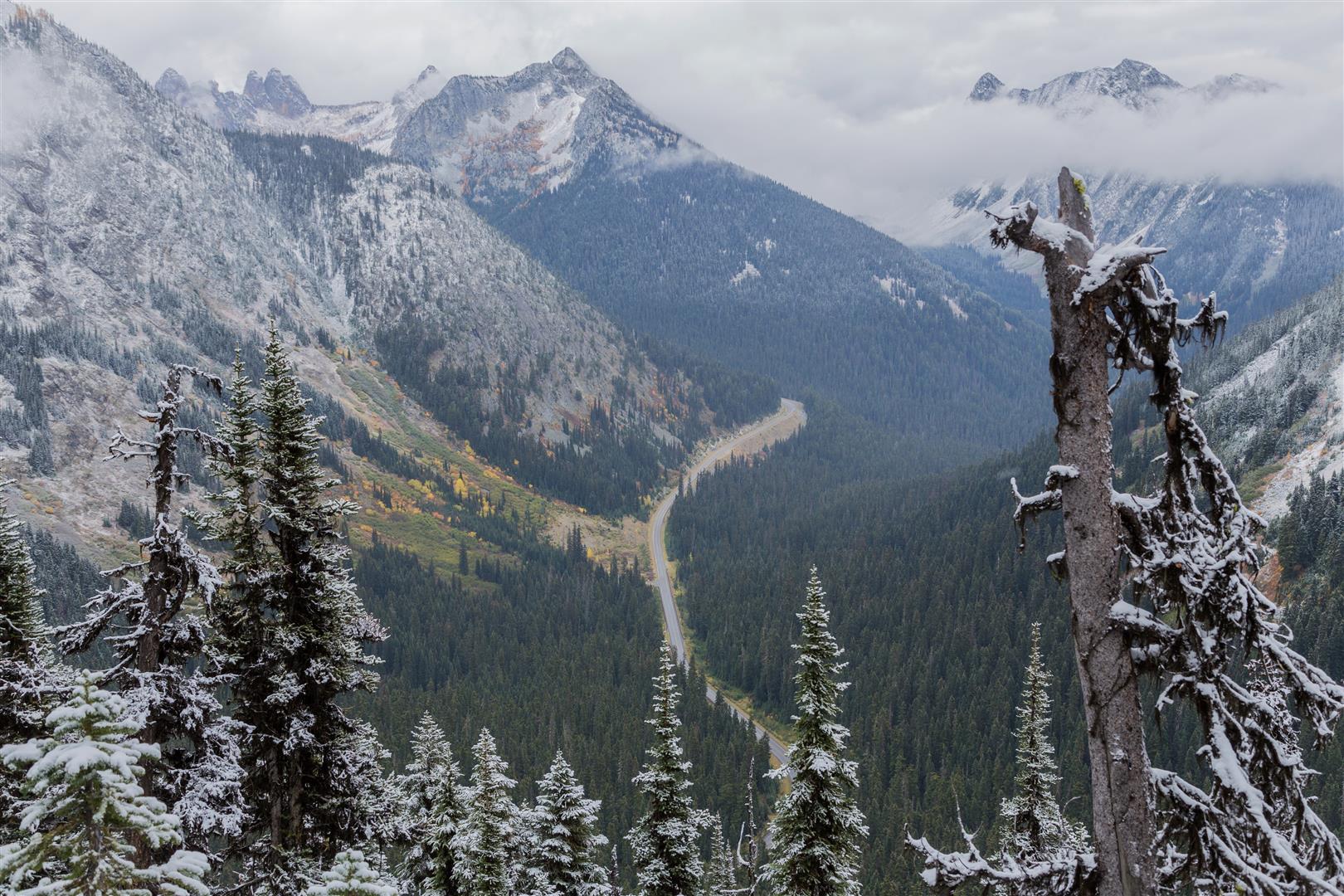
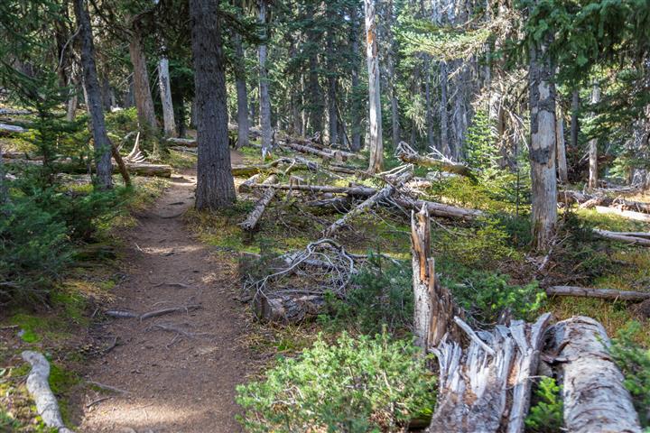
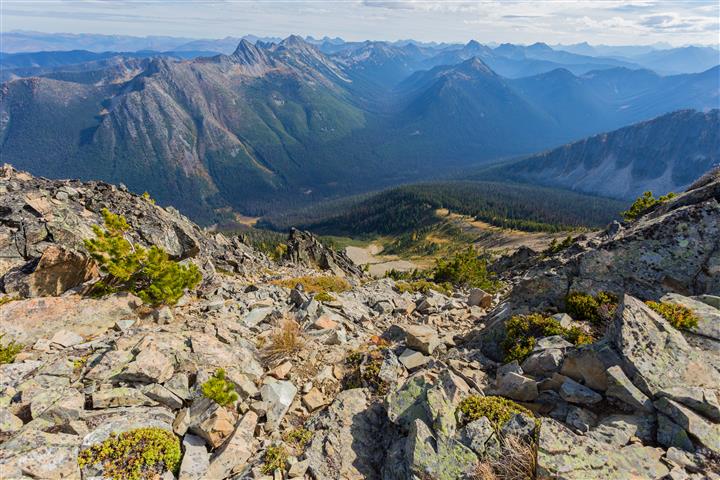
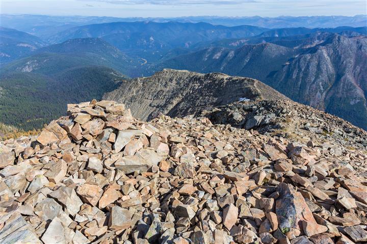
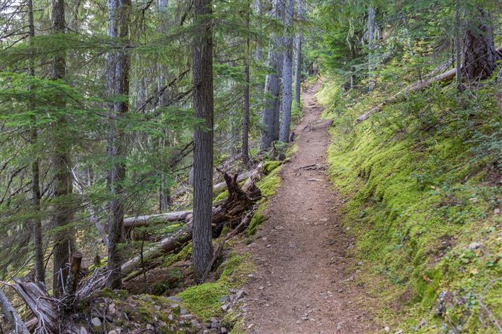
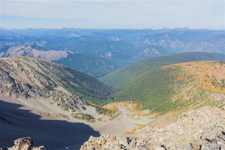
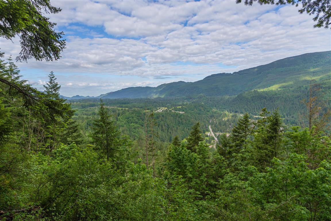
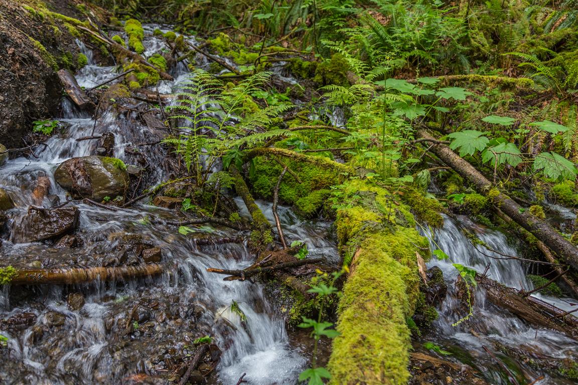
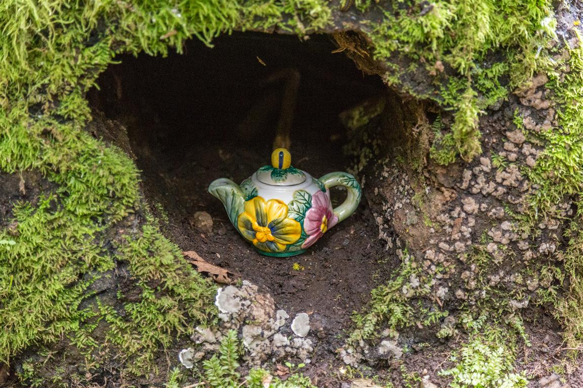
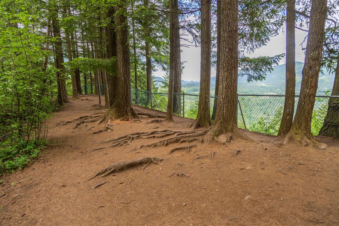
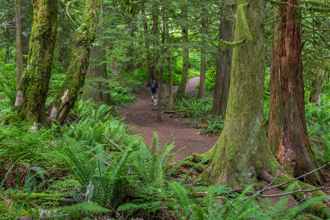
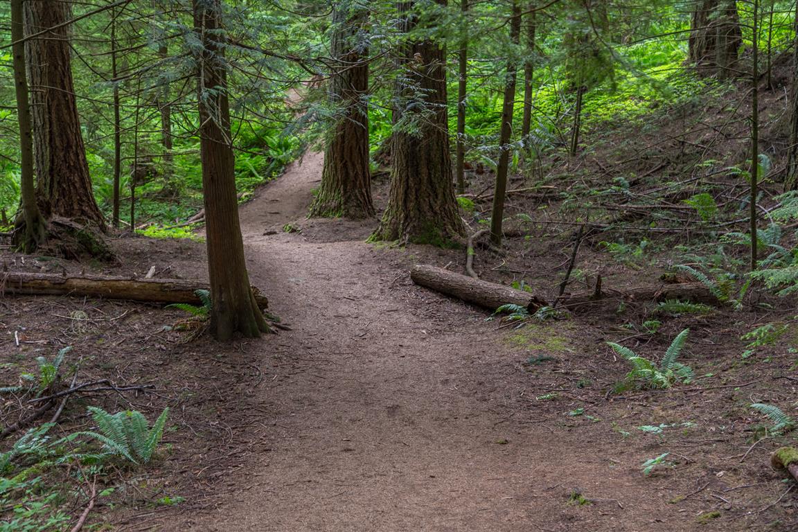
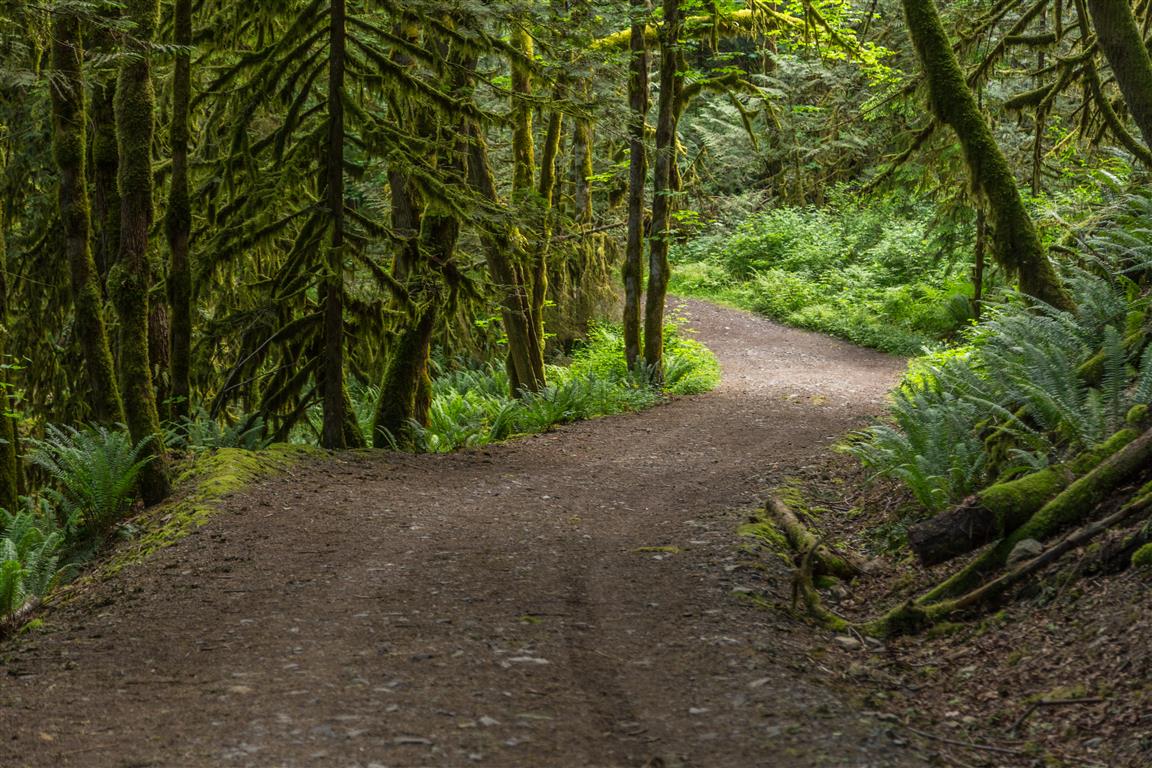
The hike follows a wide trail (road?) for quite a distance before it gets narrower, more like a real hiking trail. Along the way up to the top, you will see many teapots and some tea cups hidden in the trees and bushes. You will also pass a stream alongside the wide trail section. After 2.5 km of hiking, you will reach the top. There are a couple of viewing locations on the trail, where you can see glimpses of Cultas Lake (mostly obscured by trees) and the Columbia Valley and hills to the west.

The stats…

Distance: 5 km
Time: 2 hours, but will vary on greatly from individual to individual
Low point: 70 m
High point: 322 m
Elevation gain: 250 m
Trailhead and parking: 49° 02’ 33.4” by 121° 59’ 2.2” (Google Map – click to open Google Maps and navigation on your smartphone)

Here is the route (with downloadable gps)…

The Photos…

Cultas Lake
Cultas Lake
View of Mountains to the west
View of Columbia Valley and hills to the west
Sign
Sign at trailhead
Stream
Stream
Teapot
A hidden teapot
Top viewpoint
Viewpoint area
Trail 2
Trail
Trail 3
Trail
Trail 4
Trail

★★★★★★★★★★★

Before heading out on your hike, make sure you are well prepared. This means, having the TEN ESSENTIALS. It is also important to leave a trip plan (route details and estimated return time) with someone you trust.

Bring your smartphone, fully charged and put it in airplane mode while hiking. I always bring back-up battery packs for extra piece of mind. It is highly recommended that you bring a GPS device; I use my smartphone with a GPS app (Backcountry Navigator). The GPS will work in airplane mode. Learn how to use it before your hike.

For anyone new to hiking, there is a rule to which hikers follow; it is called “Leave No Trace” or LNT. The concept is generally to pack out what you pack in and respect nature, so all future visitors can enjoy what you have enjoyed.

To learn more about LNT, please check out this BLOG by a certified LNT Trainer.

★★★★★★★★★★★


Hope Lookout Trail

The Hope Lookout Trail is also known as the Hope Grind. It is a good workout trail with an amazing view of Hope and the Fraser River. The trail is well maintained and easy to follow. For a diversion, we took the Joan Greenwood loop on the way down, which only adds a small distance to the hike. Overall, I would say the hike is okay – it’s more of a workout than a pleasant stroll in the forest. The view at the end was spectacular !

The stats including taking the Joan Greenwood loop at the end…

Distance: 4.9 km
Time: 3 hours
Low point: 62 m
High point: 537 m
Elevation gain: 475 m
Cumulative Elevation gain: 637 m
Trailhead: 49° 22’ 21” by 121° 26’ 30.4” (Google Maps and navigation)

Here is the route with downloadable gpx…

Here are the photos…

View…
View

Bend in the Fraser River…
Bend in Fraser River

Viewpoint

Dry Ravine…
Dry ravine

Trail…
Trail

Tree uprooted…
Tree root

Viewpoint from Parking…
Viewpoint area

★★★★★★★★★★★

Before heading out on your hike, make sure you are well prepared. This means, having the TEN ESSENTIALS. It is also important to leave a trip plan (route details and estimated return time) with someone you trust.

Bring your smartphone, fully charged and put it in airplane mode while hiking. I always bring back-up battery packs for extra piece of mind. It is highly recommended that you bring a GPS device; I use my smartphone with a GPS app (Backcountry Navigator). The GPS will work in airplane mode. Learn how to use it before your hike.

For anyone new to hiking, there is a rule to which hikers follow; it is called “Leave No Trace” or LNT. The concept is generally to pack out what you pack in and respect nature, so all future visitors can enjoy what you have enjoyed.

To learn more about LNT, please check out this BLOG by a certified LNT Trainer.

★★★★★★★★★★★

Englishman River Falls

Englishman River Falls Provincial Park is located less than 14 km from the City of Parksville on Vancouver Island. There are a number of hiking trails in the Park – I took a fairly short loop today. The highlight of the hike is seeing the waterfall from a little bridge. It was sunny today and that is not ideal for taking waterfall pictures. I will have to come back on a cloudy day !

Distance for my loop: 2 km (return)
Time: less than 1 hour
Low point: 142 m
High point: 180 m
Elevation gain: 38 m
Trailhead and parking: 49° 14’ 43.6” by 124° 21’ 01” (Google Maps and navigation)

The route with downloadable gpx…

The Photos…

Englishman River Falls

IMG_1522

IMG_1541

IMG_1567

Heather – Maple Pass Loop


Back to the North Cascades for an epic day hike.  The Heather – Maple Pass Loop is a gem of a hike that starts around 1500 m elevation (4900 ft) and goes up to 2120 m (6950 ft). The forecast for today was sunny; however, we did not see the sun at all and saw blue sky briefly. It was freezing and snowing lightly all day and most of our views were obstructed. But thankfully, not all views were obstructed and we did get quite a treat. The views that we did have were just amazing and the fresh snow made it really feel like a winter wonderland ! I will definitely have to go back in the summer to do this hike on a sunny day. We also included the trip to Ann Lake at the end – this is a fairly flat section of about 1km each way.

NOTE – You will need a Northwest Forest Pass (one per car), which can be purchased in person at the Mt. Baker Ranger District – Mt. Baker Office at 810 State Route 20 Sedro-Woolley, WA (Link to Map)

Or you can buy an epass in advance online at the Discover Your Northwest website

Or you can leave money in an envelope (by the big info sign) at the Rainy Lake Parking lot.

Border crossing tips: Bring passport, Nexus or enhanced ID !!; no fruit, no veges, no meat (this isn’t a complete list !); trailmix is ok. There are stores in Sedro-Woolley if you want to get some fruit or a sandwich for your hike.

A great resource for current conditions for this hike is the WTA website.
Check it OUT !!!

The hike starts at the Rainy Pass trailhead, off Highway 20 (see location of trailhead below).

The stats including Ann Lake at the end…

Distance: 12.7 km
Time: 4.5 hours
Low point: 1482 m
High point: 2120 m
Elevation gain: 638 m
Cumulative Elevation gain: 885 m
Trailhead: 48° 30’ 54.6” by  120° 44’ 09” (Google Map)

The route…

The photos…

Winter Wonderland
Winter Wonderland
Ann Lake from above
Ann Lake from above
Ann Lake
Ann Lake
Gorgeous Golden Alpine Larches
Cold and cloudy summit
Frozen Alpine larch
Frozen Alpine larch
Autumn Colours
Autumn Colours
Autumn Colours
Autumn Colours
Snow on a golden alpine larch
Snow-covered trees at the summit
Snowy trail
Snowy trail
Snowy trail
Snowy trail
View of the HIghway
View of the Highway

Link to all Heather – Maple Pass Photos photos on Flickr

★★★★★★★★★★★

Before heading out on your hike, make sure you are well prepared. This means, having the TEN ESSENTIALS. It is also important to leave a trip plan (route details and estimated return time) with someone you trust.

Bring your smartphone, fully charged and put it in airplane mode while hiking. I always bring back-up battery packs for extra piece of mind. It is highly recommended that you bring a GPS device; I use my smartphone with a GPS app (Backcountry Navigator). The GPS will work in airplane mode. Learn how to use it before your hike.

For anyone new to hiking, there is a rule to which hikers follow; it is called “Leave No Trace” or LNT. The concept is generally to pack out what you pack in and respect nature, so all future visitors can enjoy what you have enjoyed.

To learn more about LNT, please check out this BLOG by a certified LNT Trainer.

★★★★★★★★★★★

Frosty Mountain


Ahhh… Back to the mountains for a great early Autumn hike. Mount Frosty is known as a great hike in Manning Provincial Park, but is more well known for the spectacular display of golden larches in the Autumn. These are the only conifers that change colour and loose their needles. Some have been dated at 2000 years old !!  The trailhead starts at the Lightening Lake picnic area and heads up into the mountains.  The first 5 km are a gradual climb and not very steep – just a continual climb.  Then there is a 2 km stretch that is fairly flat with only minor elevation gain. After that, the trail continues to climb. You will start to see the larches just below 2000 m elevation. And if you time it right, like I did, you will get a wonderful display for the rest of your hike to the summit. The trail starts to get rocky about 2200 m elevation. At this point you make your way up to the ridge and then across the ridge to the peak. Be careful here – some rocks are not stable. The views from the ridge and peak are impressive – there are 360º views of the surrounding mountains.  I highly recommend this hike anytime, but especially on a sunny autumn day.

The stats…

Distance: 22 km (return)
Time: 8 hours (lots of photography breaks)
Low point: 1250 m
High point: 2408 m
Elevation gain: 1158 m
Cumulative Elevation gain: 1625 m
Trailhead: 49° 03’ 44” by  120° 49’ 29.5” (Google Map)

The route…

The photos…

Golden larches
Golden larches
Lake and mountain view from trail
Golden larches
Golden larches
Start of climb up to ridge
Looking along the ridge
Trail
Trail
View from summit
View from summit
View down ridge from summit
Trail
Trail
View from Summit
View from Summit
Last section to summit
Caution sign on ridge
Frosty Creek Cabin
Frosty Creek Cabin
Summit marker
Summit marker
Lightening Lake
Lightening Lake

★★★★★★★★★★★

Before heading out on your hike, make sure you are well prepared. This means, having the TEN ESSENTIALS. It is also important to leave a trip plan (route details and estimated return time) with someone you trust.

Bring your smartphone, fully charged and put it in airplane mode while hiking. I always bring back-up battery packs for extra piece of mind. It is highly recommended that you bring a GPS device; I use my smartphone with a GPS app (Backcountry Navigator). The GPS will work in airplane mode. Learn how to use it before your hike.

For anyone new to hiking, there is a rule to which hikers follow; it is called “Leave No Trace” or LNT. The concept is generally to pack out what you pack in and respect nature, so all future visitors can enjoy what you have enjoyed.

To learn more about LNT, please check out this BLOG by a certified LNT Trainer.

★★★★★★★★★★★