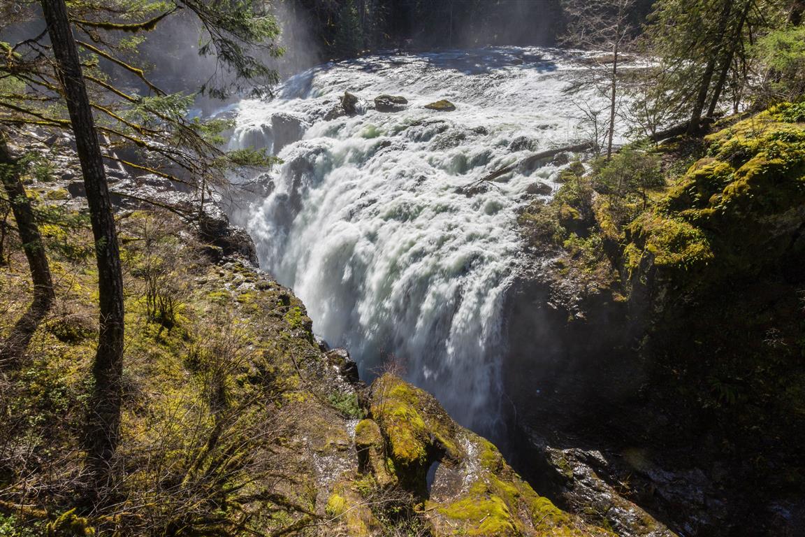
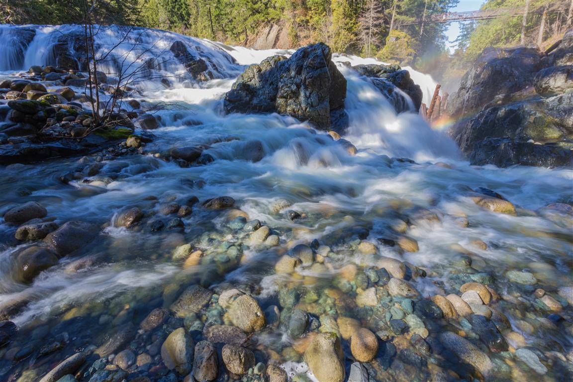
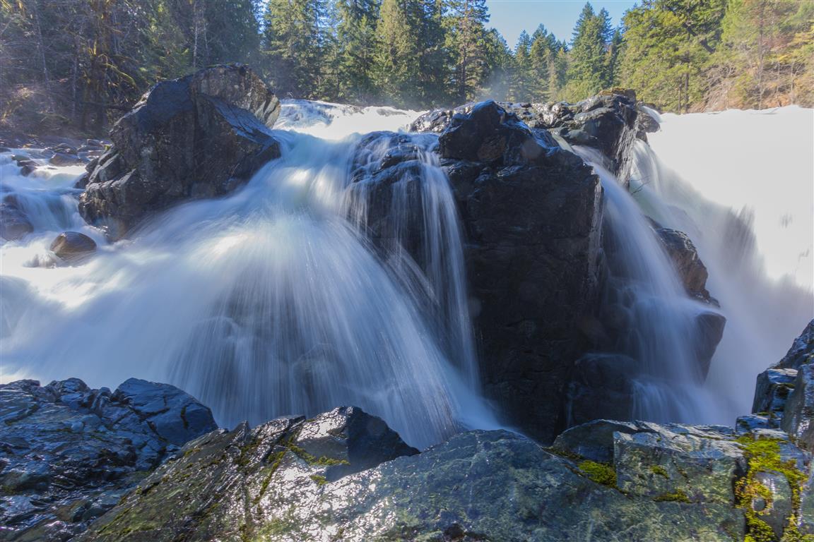
Englishman River Falls Provincial Park is located less than 14 km from the City of Parksville on Vancouver Island. There are a number of hiking trails in the park — I took a fairly short loop today. The highlight of the hike is seeing the waterfall from a little bridge. It was sunny today, and that is not ideal for taking waterfall pictures. I will have to come back on a cloudy day!
Interesting Facts
- The park was established on December 20, 1940, to protect the old-growth Douglas fir forest and the surrounding ecosystem near the falls. It covers about 97 ha
- According to local legend, the river’s name comes from the discovery of the skeleton of a Caucasian man near the falls by Indigenous people in the area, which is how it came to be called the Englishman River
- The Englishman River runs about 40 km from the slopes of Mount Arrowsmith and Mount Moriarty before entering the Strait of Georgia at Parksville. It’s an important salmon habitat, and a dammed reservoir upstream supplies drinking water to Parksville
- The park has both an upper and a lower falls. Swimming is allowed in the river below the lower falls, though fishing is not permitted anywhere in the park
Trail Stats
- Distance for my loop: 2 km (return)
- Time: less than 1 hour
- Low point: 142 m
- High point: 180 m
- Elevation gain: 38 m
- Trailhead and parking: 49° 14′ 43.6″ N, 124° 21′ 01″ W (Google Maps and navigation)
The Route
The actual GPS track from this walk, drawn on the map below. Green marks the start/end point.
Photos
Conditions on this trail can change over time — trailheads move, access rules shift, and businesses close. This post reflects what I found when I did the walk.