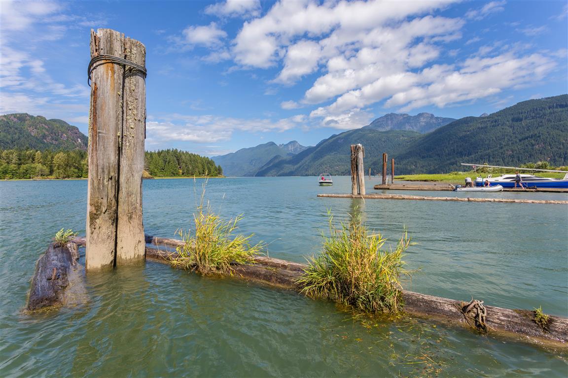
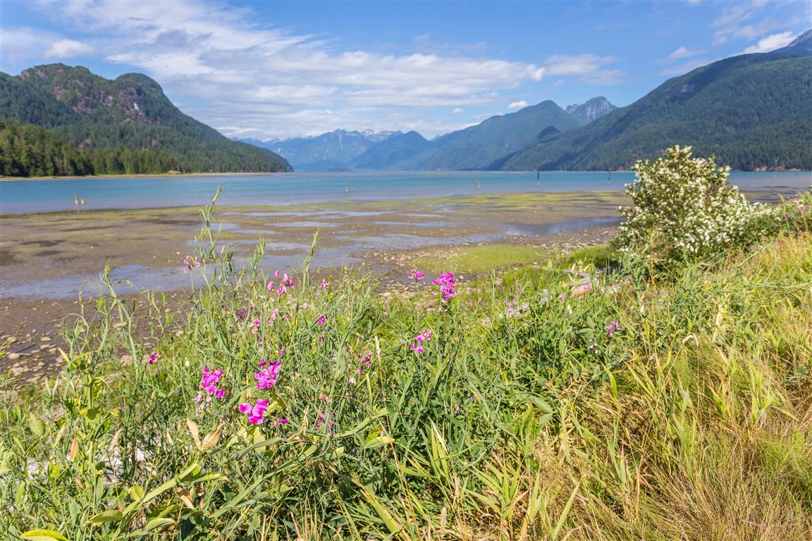
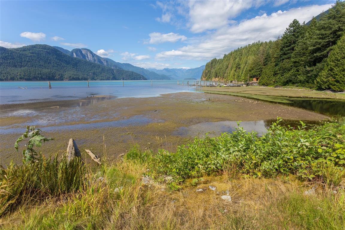
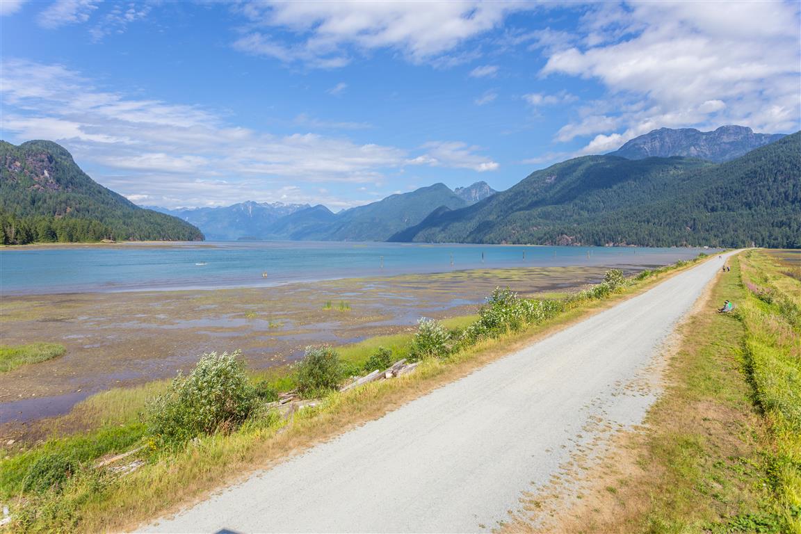
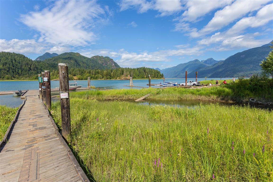
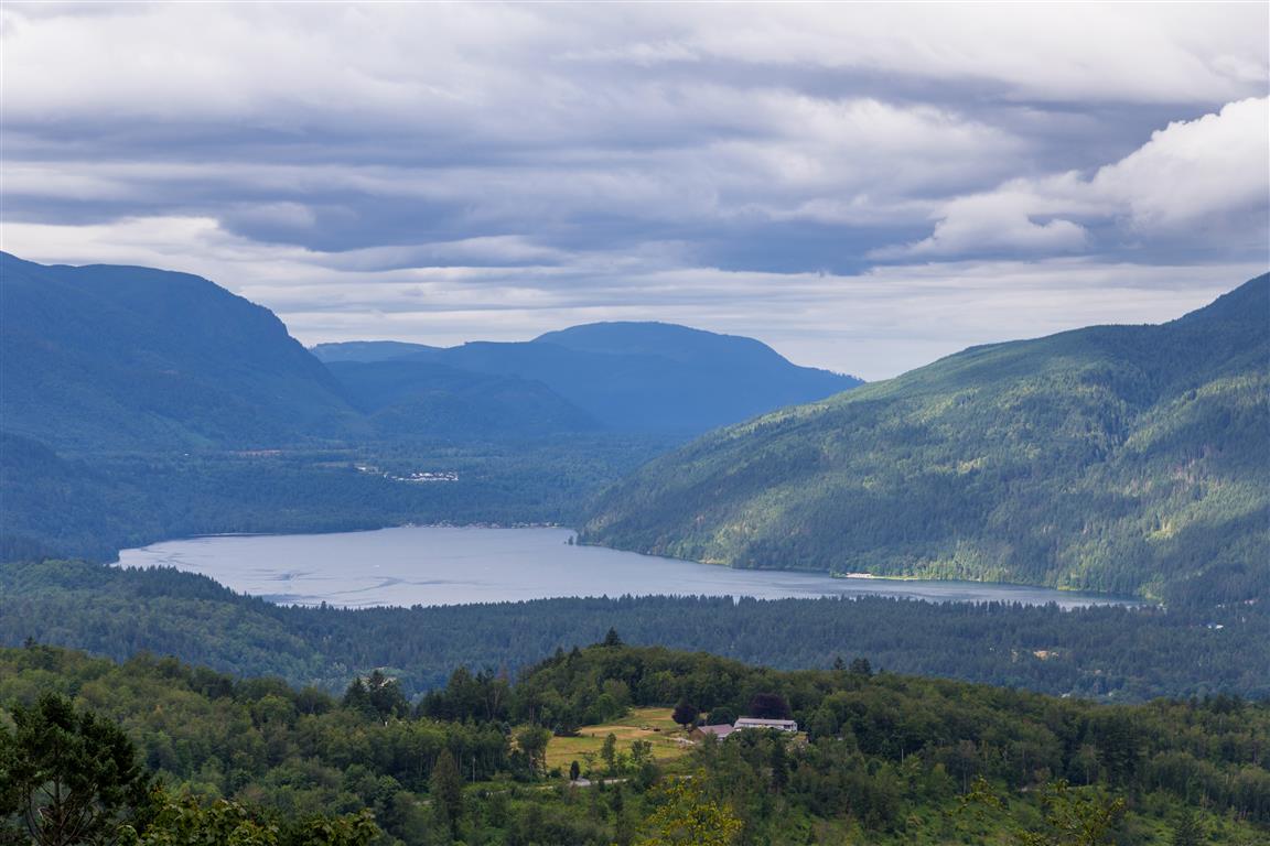
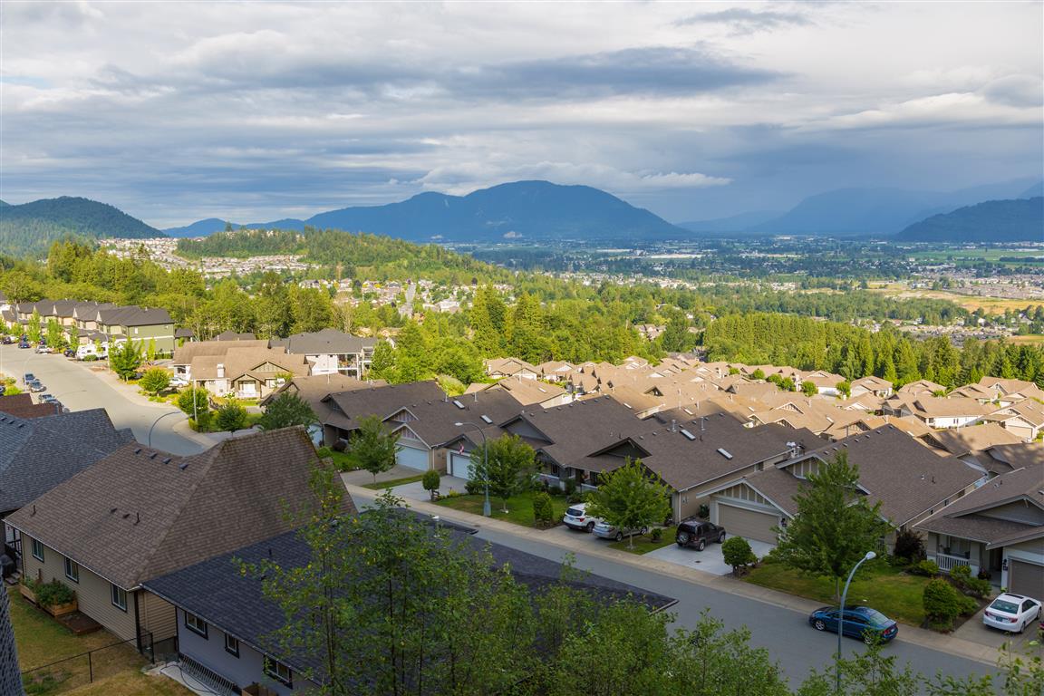
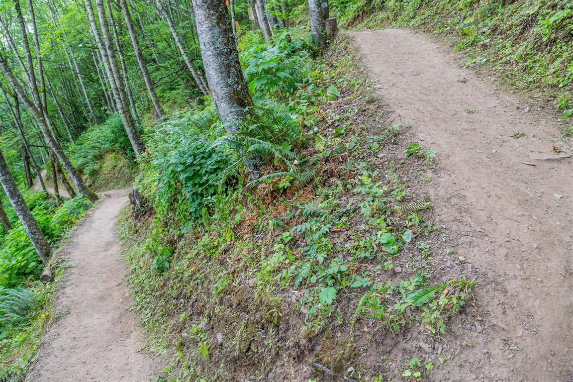
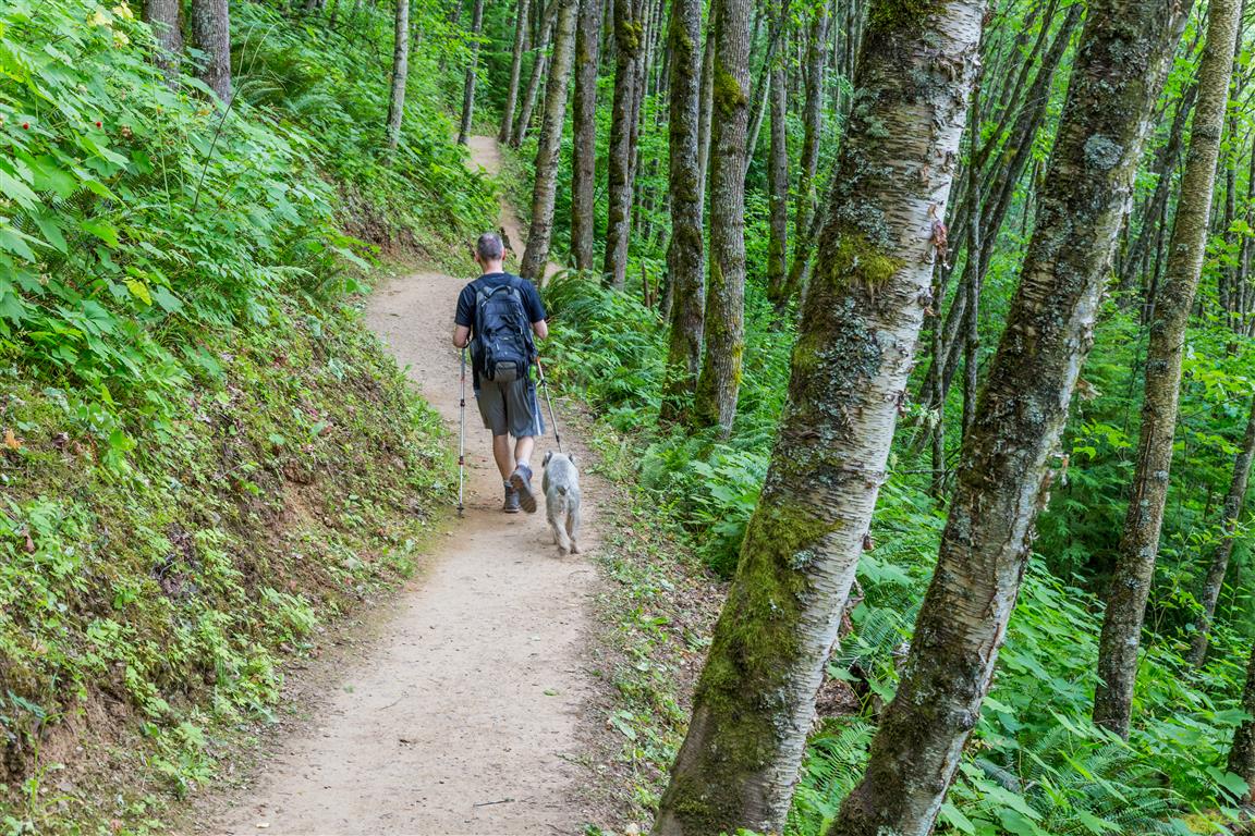
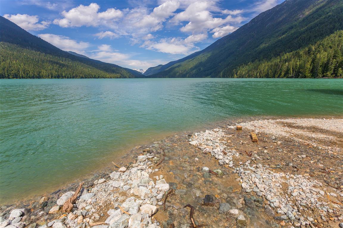
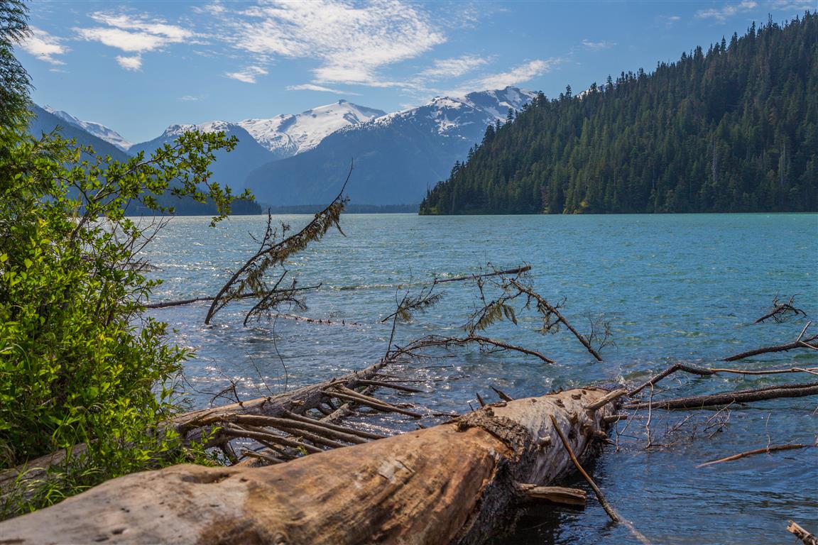
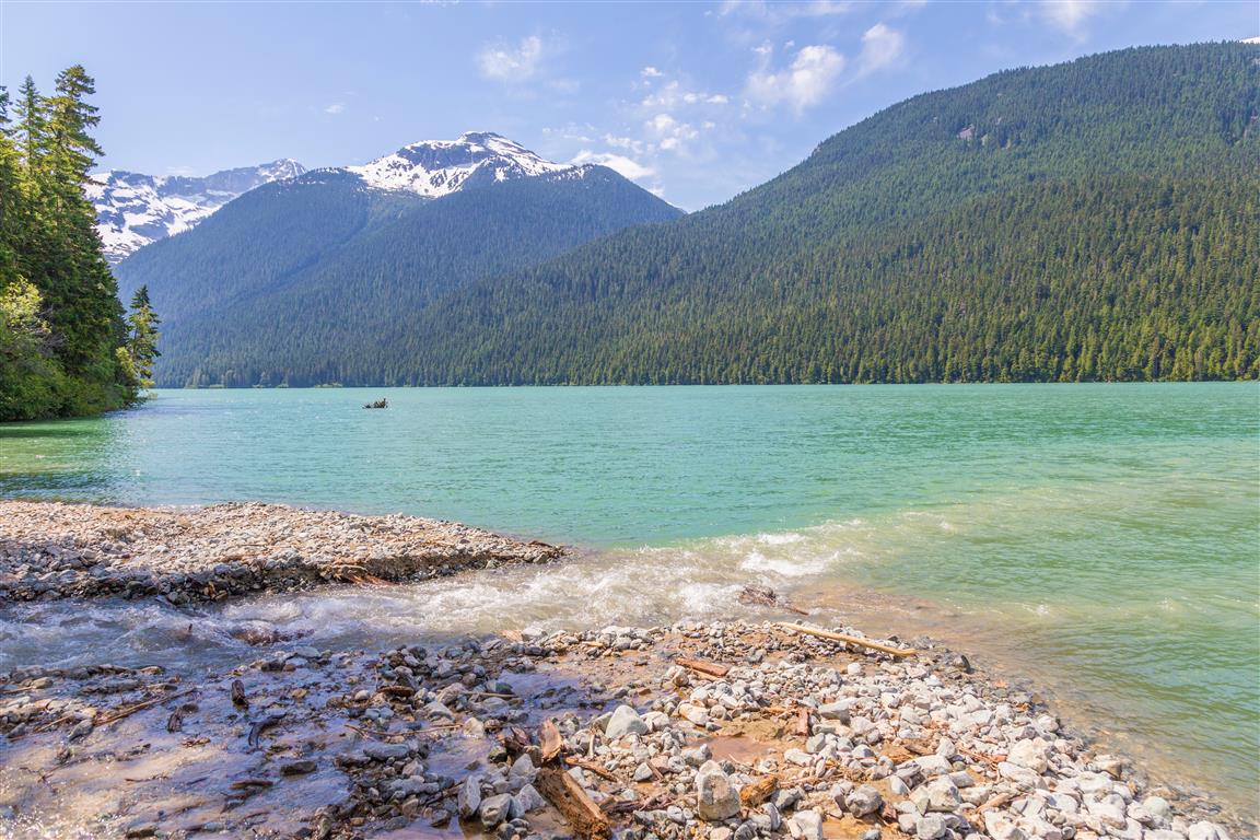
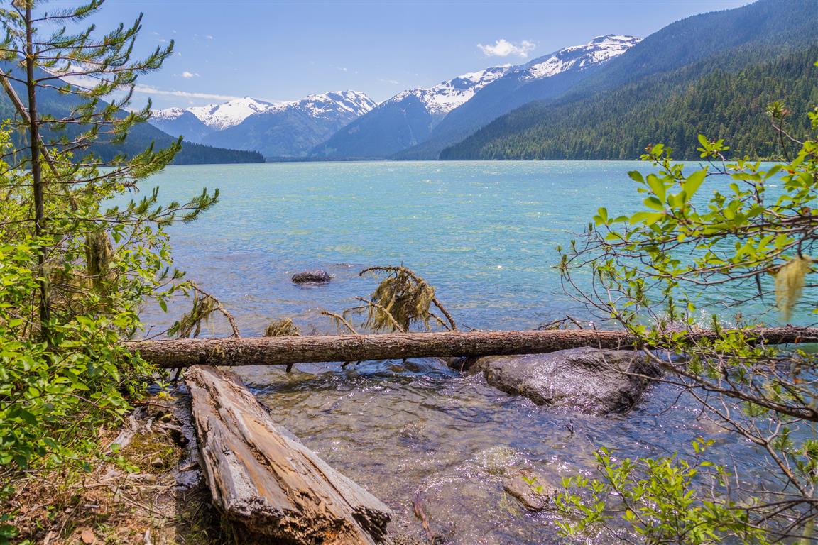
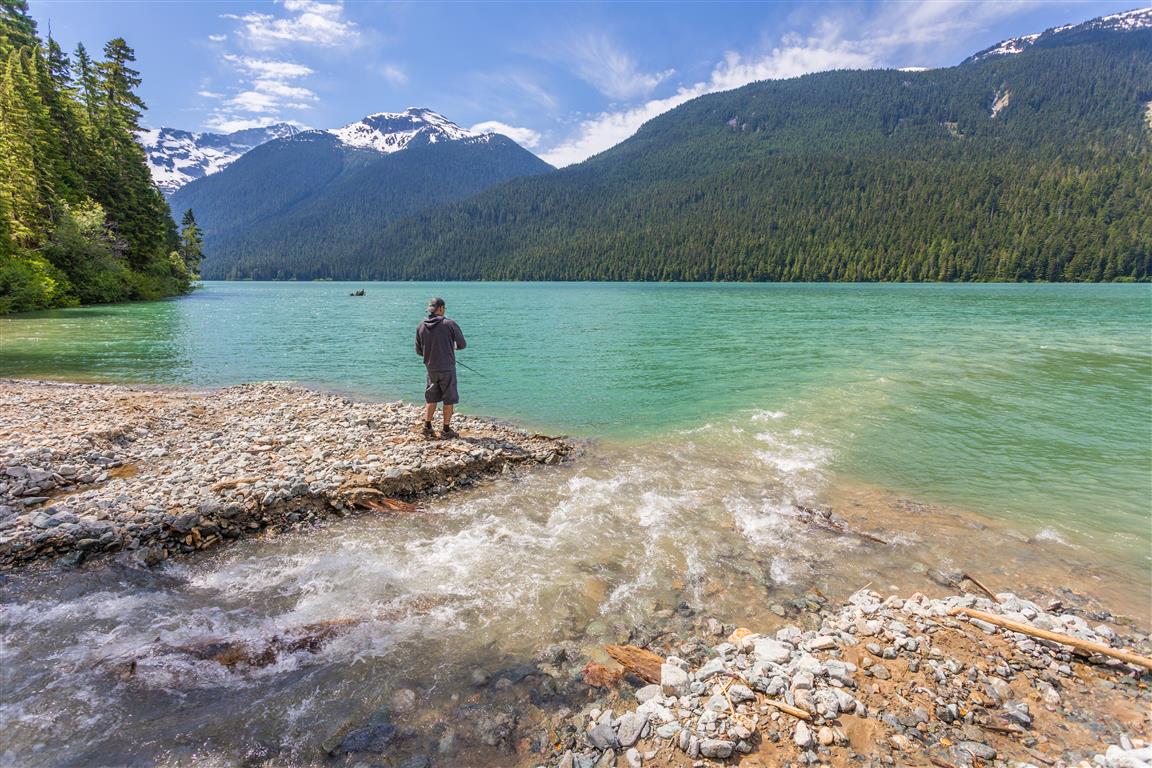
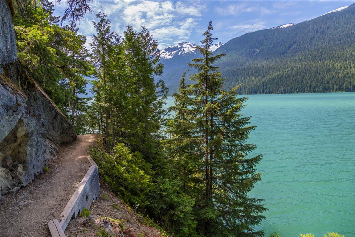
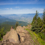
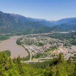
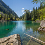
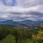
The full name of this area is the Pitt-Addington Marsh Wildlife Management Area. It is located where Pitt Lake drains into the Pitt River.
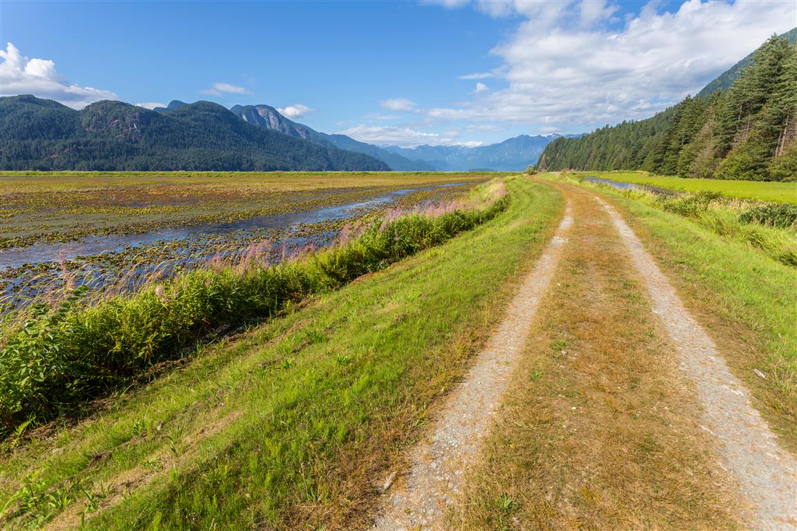
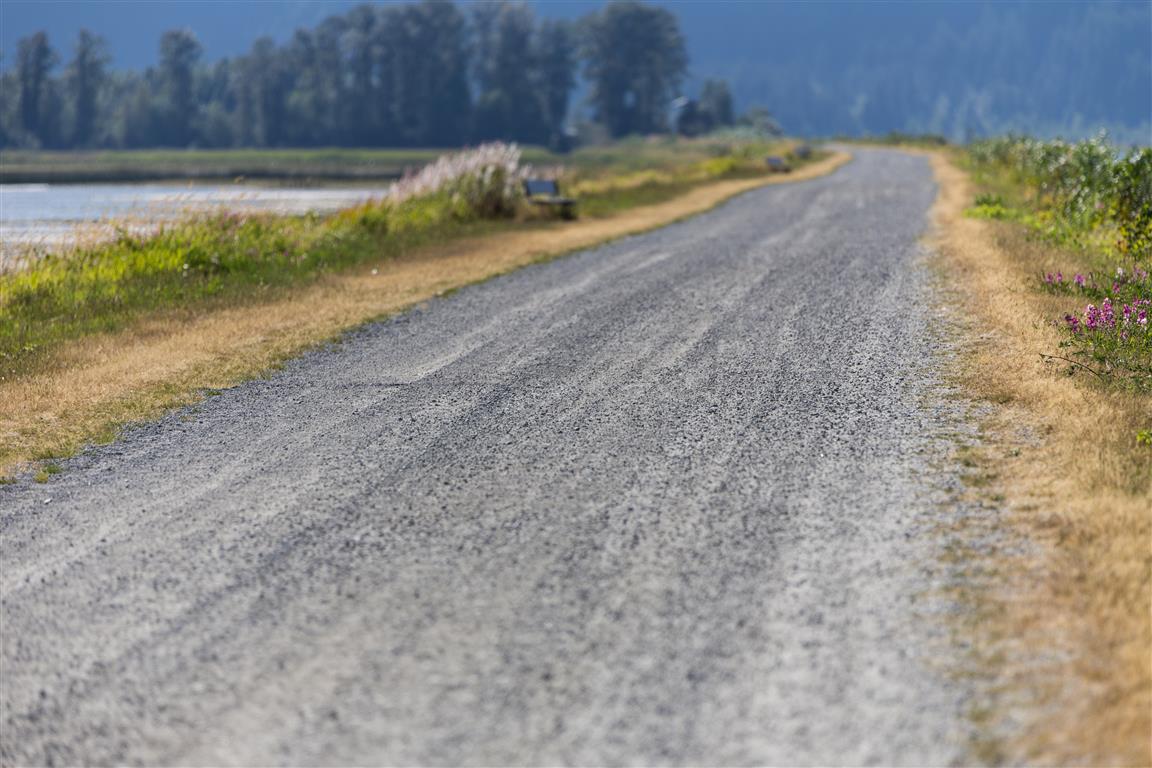
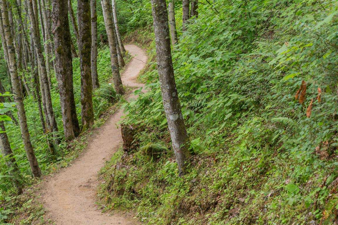
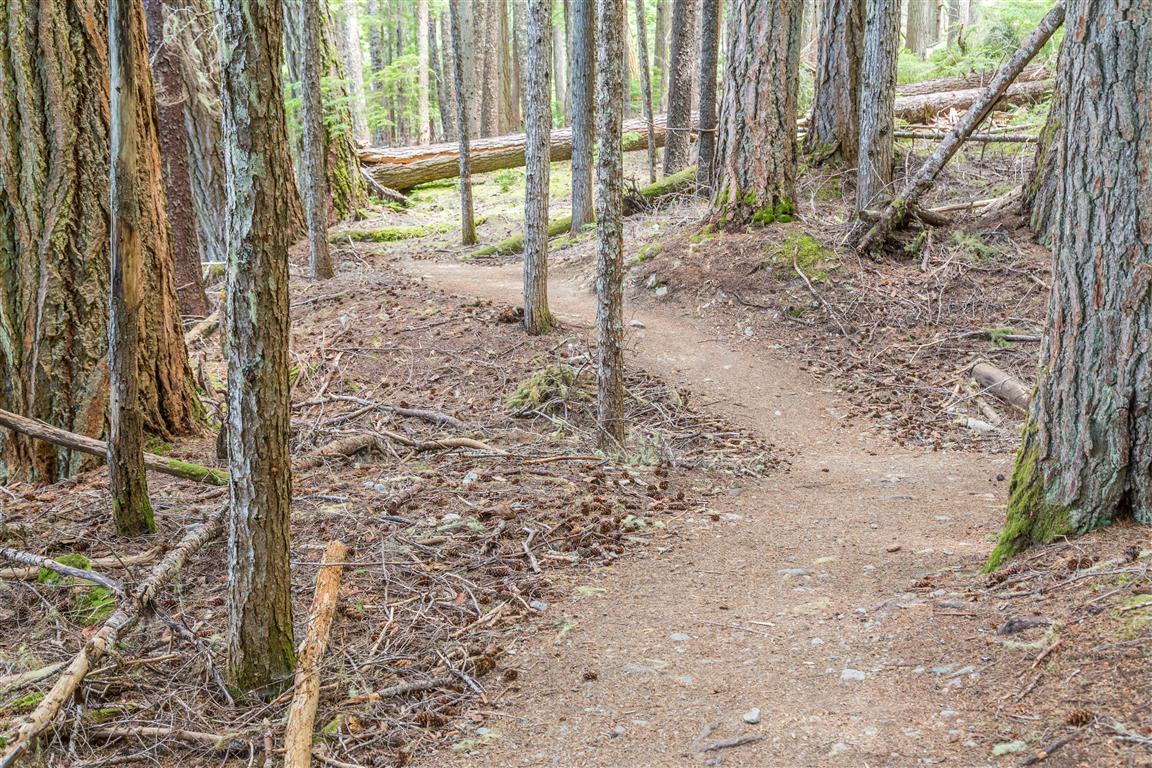
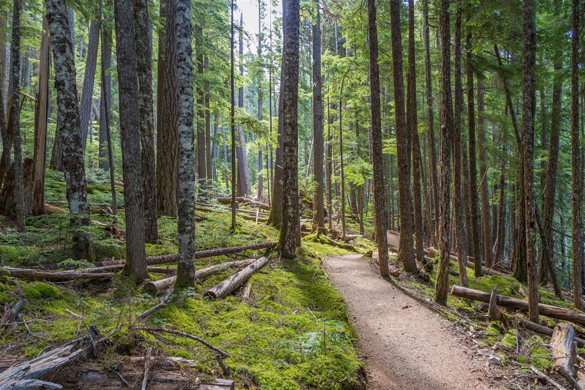
There is a network of dykes and trails taking you along the river, lake and marshland. This is more of a walk, as it is completely flat, but the distances can be over 10 km, depending on where you go.
About the Marsh
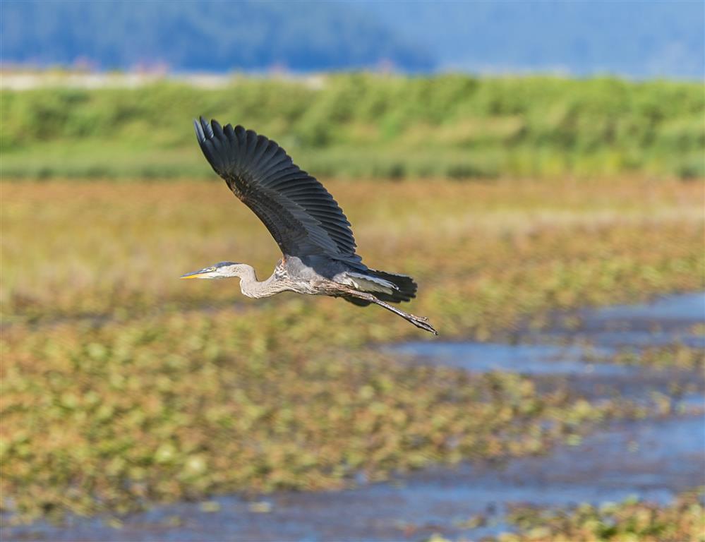
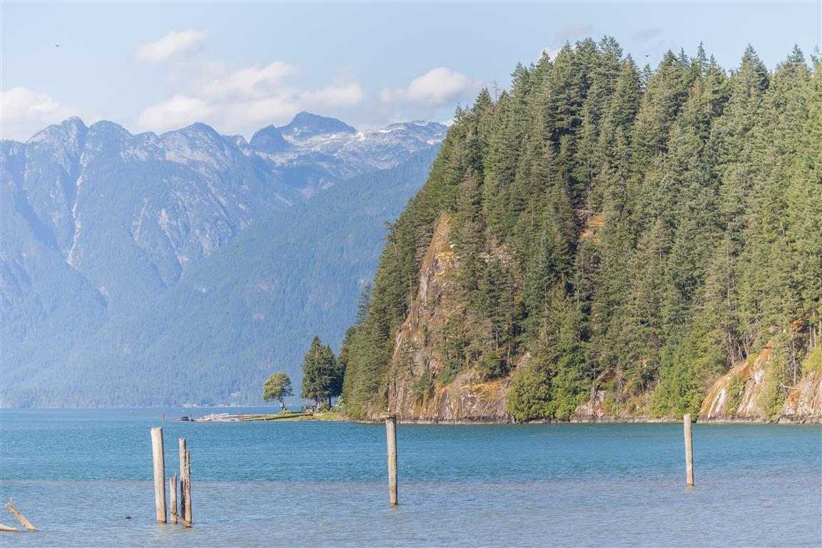
The Pitt-Addington Marsh WMA supports over 200 bird and 29 mammal species. This WMA is generally a flat, alluvial floodplain made up of dyked and undyked areas. Pitt Lake is the largest tidal freshwater lake in North America. There is a rare reverse delta at the mouth of the Pitt River, a result of deposition which occurs when rapidly flooding tides dam and reverse the main Fraser River outflow back up into Pitt Lake. The WMA also contains the Pitt Polder Ecological Reserve, an area of sedge bog and two forested granitic outcrops rising 114 m above the floodplain.
Interesting Facts About Pitt Lake
- It is 24 km long
- Is considered a tidal fjord lake
- There is on average a three-foot tide range
- Pitt Lake is in a typical U-shaped glacial valley
- The Upper Pitt River originates in Garibaldi Provincial Park
- Pitt Lake and Pitt River are named after William Pitt the Younger, who became the youngest Prime Minister of Great Britain in 1783, at age 24
- The lake’s unusual tidal behaviour exists because the Fraser River’s own flow backs up Pitt River at high tide, pushing water into the lake. A flood tide surface velocity of 71 cm per second has been recorded in the narrows during this reverse flow
- Pitt Lake was once an ocean fjord; seashells can still be found on its eastern slopes today, a reminder of its marine past before it became cut off from the sea by sediment roughly 10,500 years ago
- The area is tied to the legend of Slumach’s lost gold mine, a long-running BC treasure story about a hidden gold deposit somewhere in the mountains northeast of the lake. Historians have found no evidence to support it, but the legend persists
Trail Stats
- Distance: varies, but my route was 6.6 km
- Time: varies
- Low point: close to sea level
- High point: close to sea level
- Elevation gain: minimal
- Trailhead and parking: 49° 20′ 55.8″ N, 122° 37′ 00″ W (Google Maps and navigation)
The Route
The actual GPS track from this walk, drawn on the map below. Green marks the start/end point.
Photos