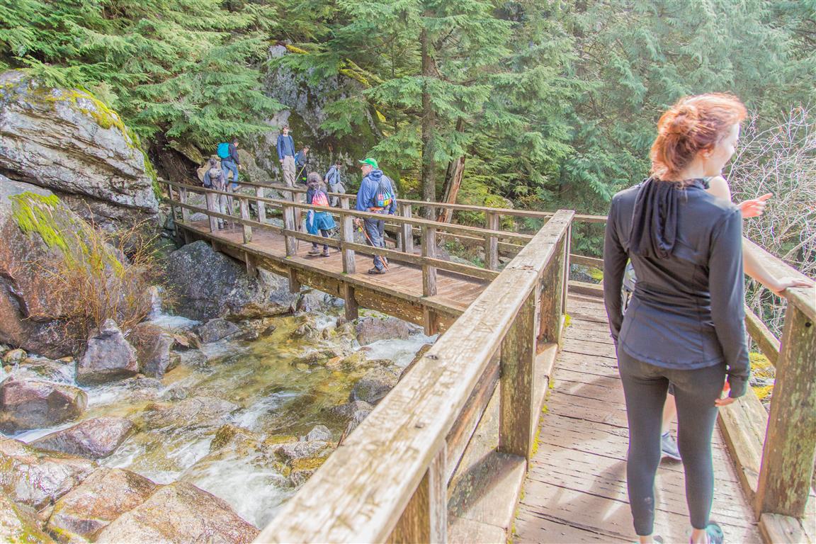
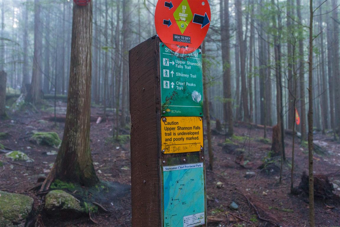
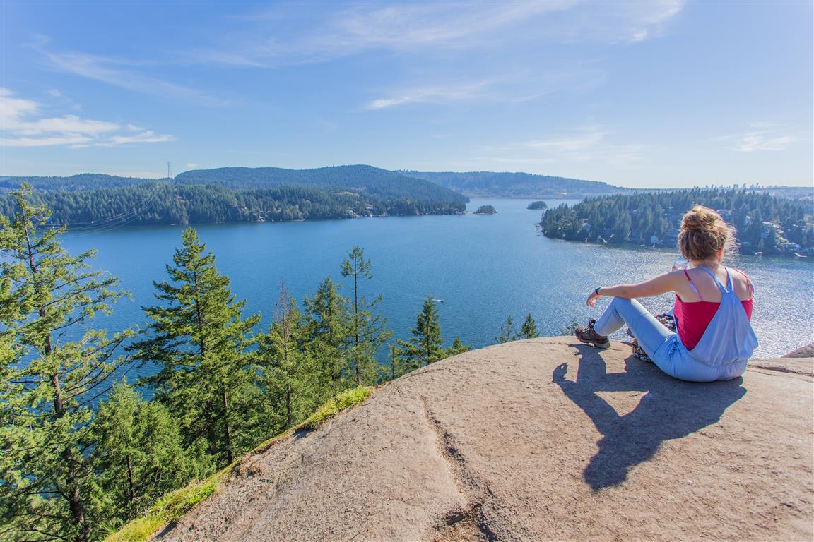
Quarry Rock hike is a very popular hike in North Vancouver. It is relatively easy for regular hikers and you will see many people on the trail, including families and runners. The trail starts just off Panorama Drive in Deep Cove, North Vancouver; and it traverses through Cove Forest. There are many steps, boardwalks and bridges, which make the trail family-friendly. On my route today, I took the regular trail to the viewpoint at Quarry Rock, but then on my return, I took a trail north to Indian River Drive, where it then turns west. Most people will follow the same path back and that is just fine. The trail I took on my return is not very busy and less marked.
Overall, this is a great little hike, especially for families. The parking and crowds would be the only problems I see with this hike.
Here are the stats for the loop (which I took) and the back and forth on the same trail route…
Same Trail Return / Loop
Distance: 4 km / 5km
Low point: 9 m
High point: 130 m / 222 m
Elevation gain: 121 m / 213 m
Cumulative Elevation gain: 325 m / 411 m
Trailhead: 49° 19’ 48.4” by 123° 56’ 59.4” (Google Map)
Here is the loop route…
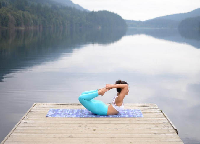
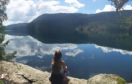
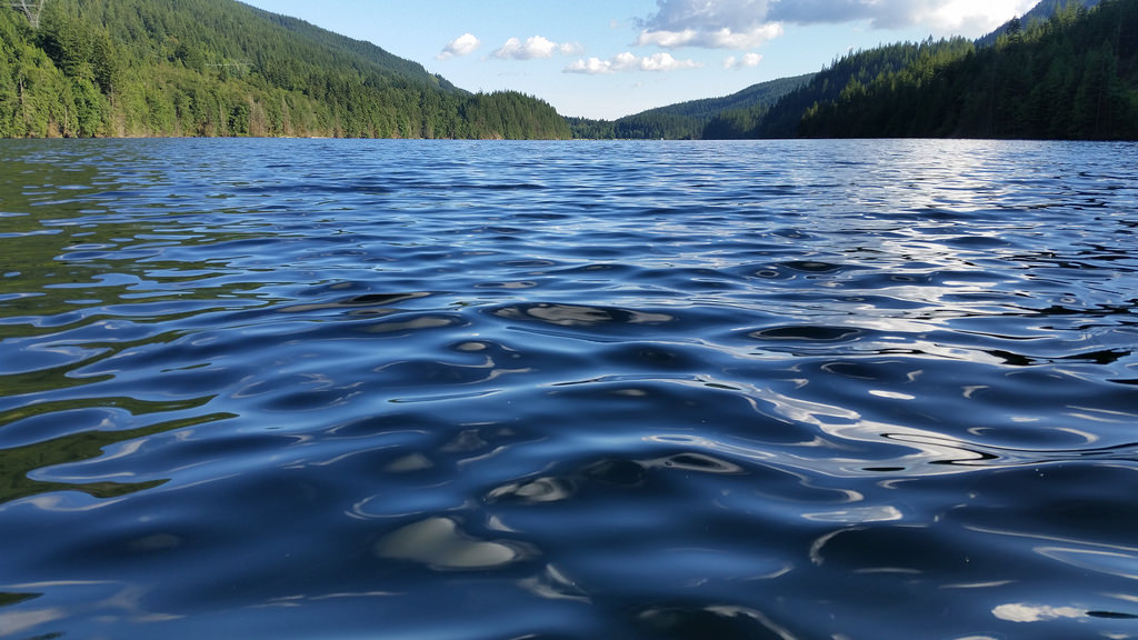
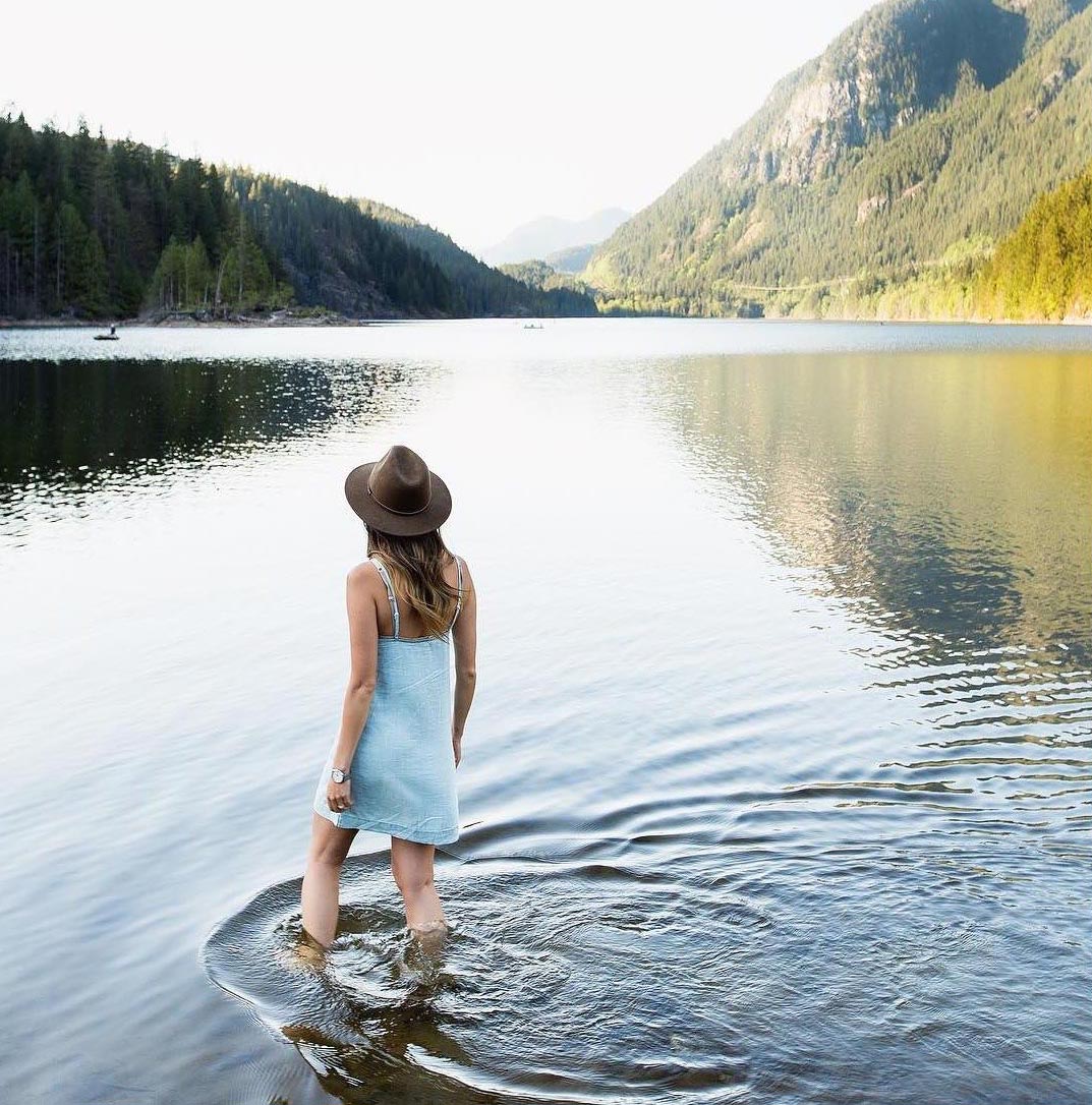
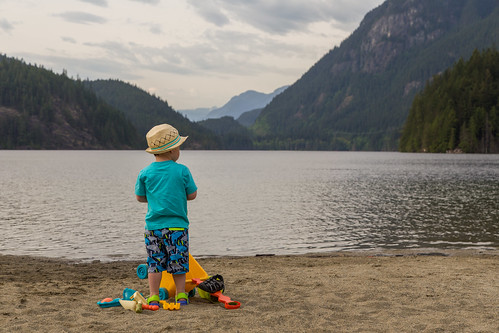
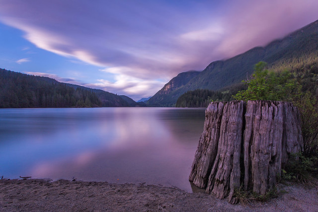
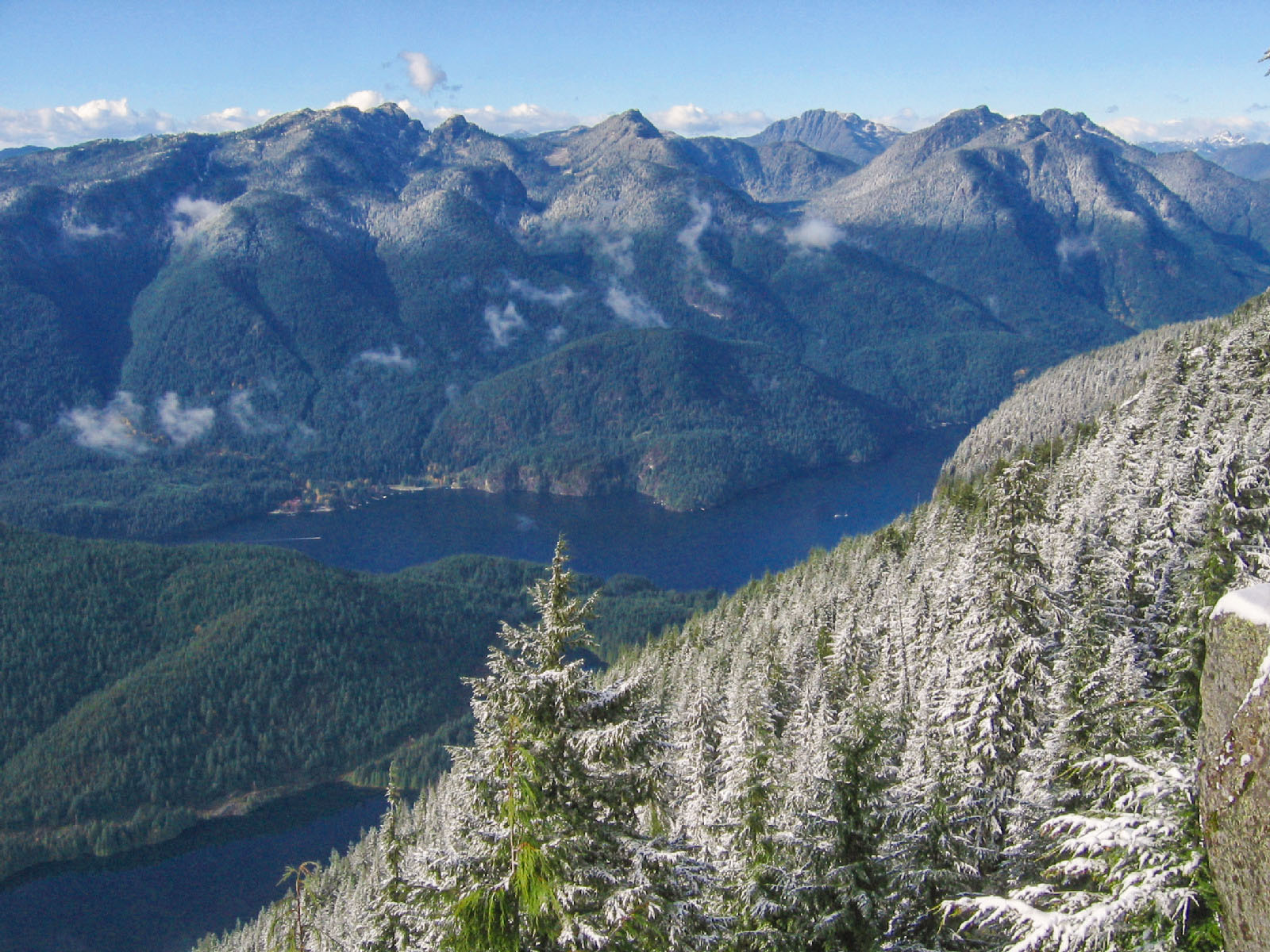
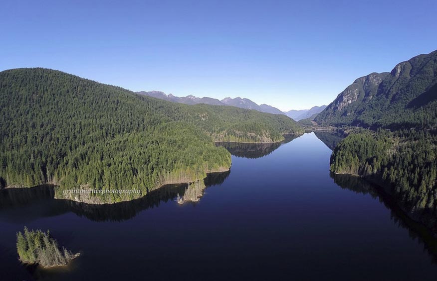
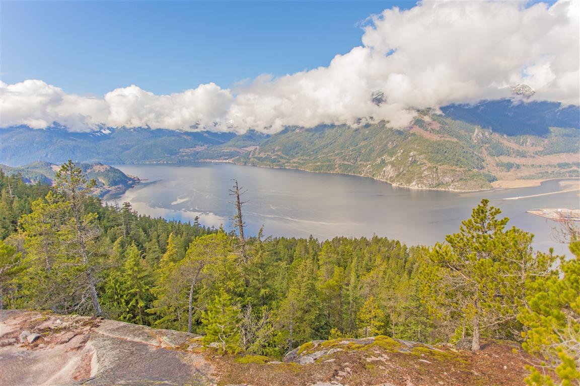
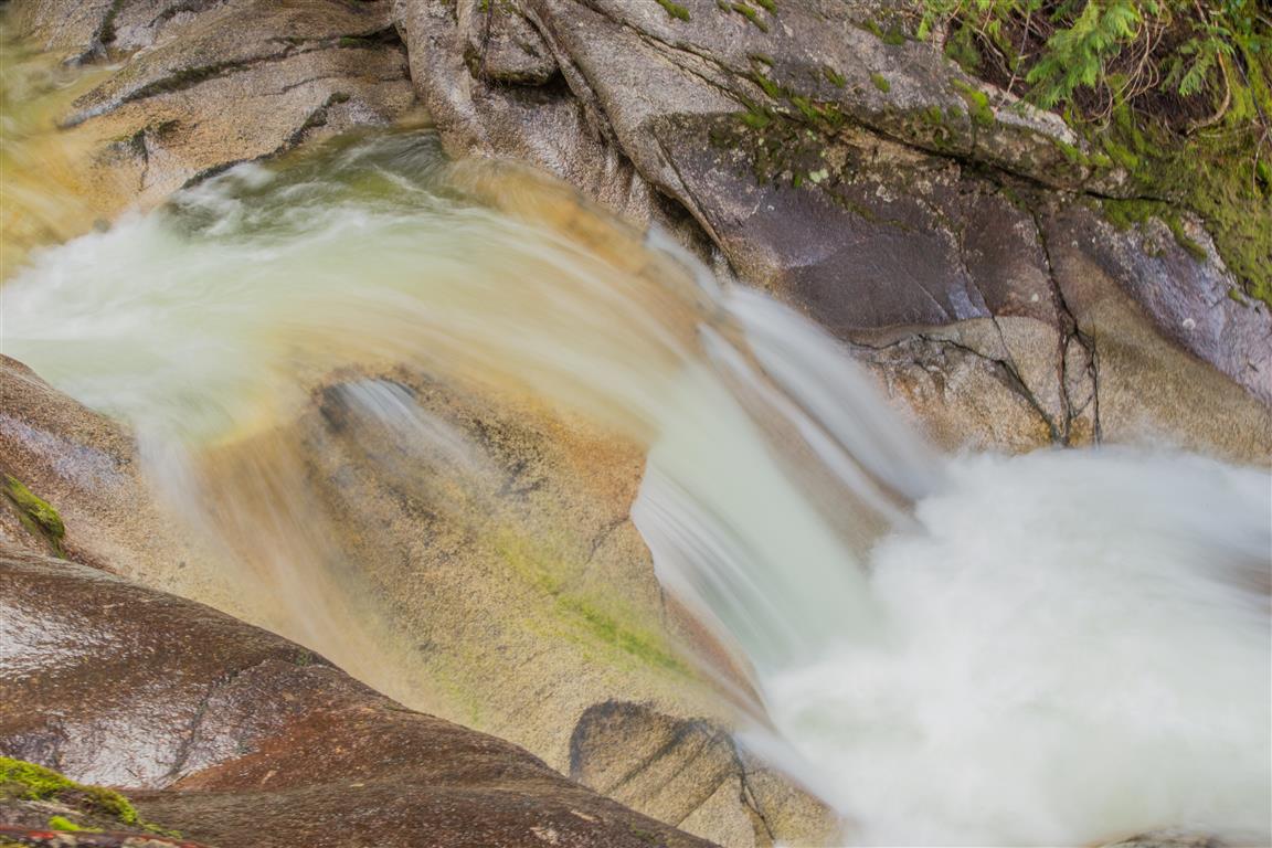
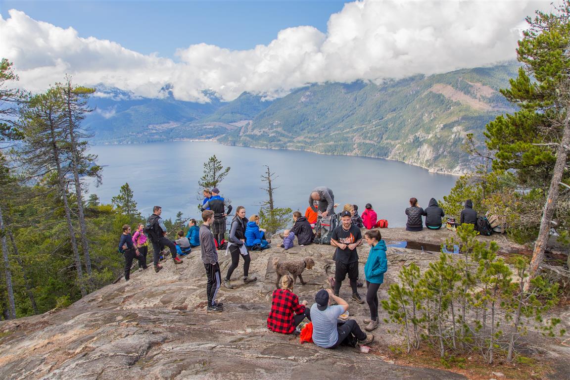
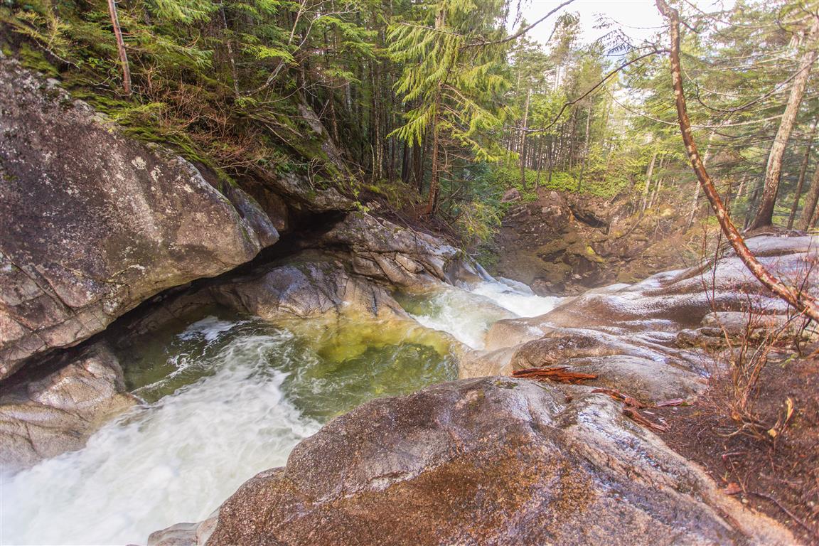
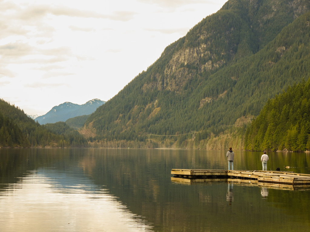
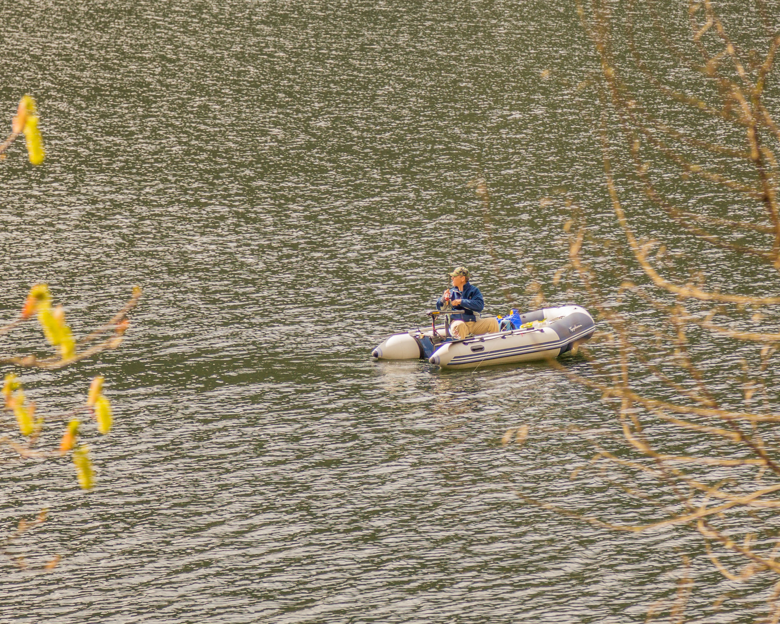
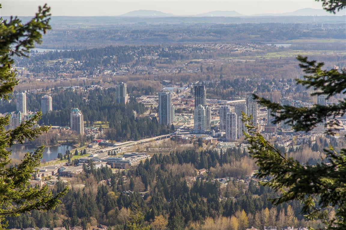
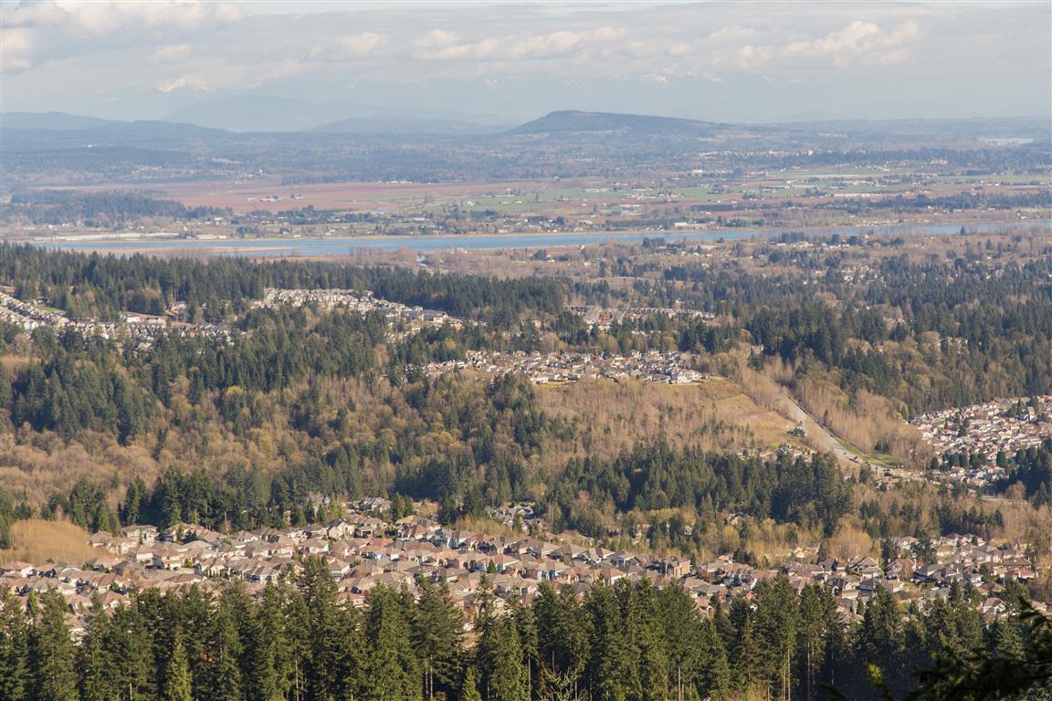
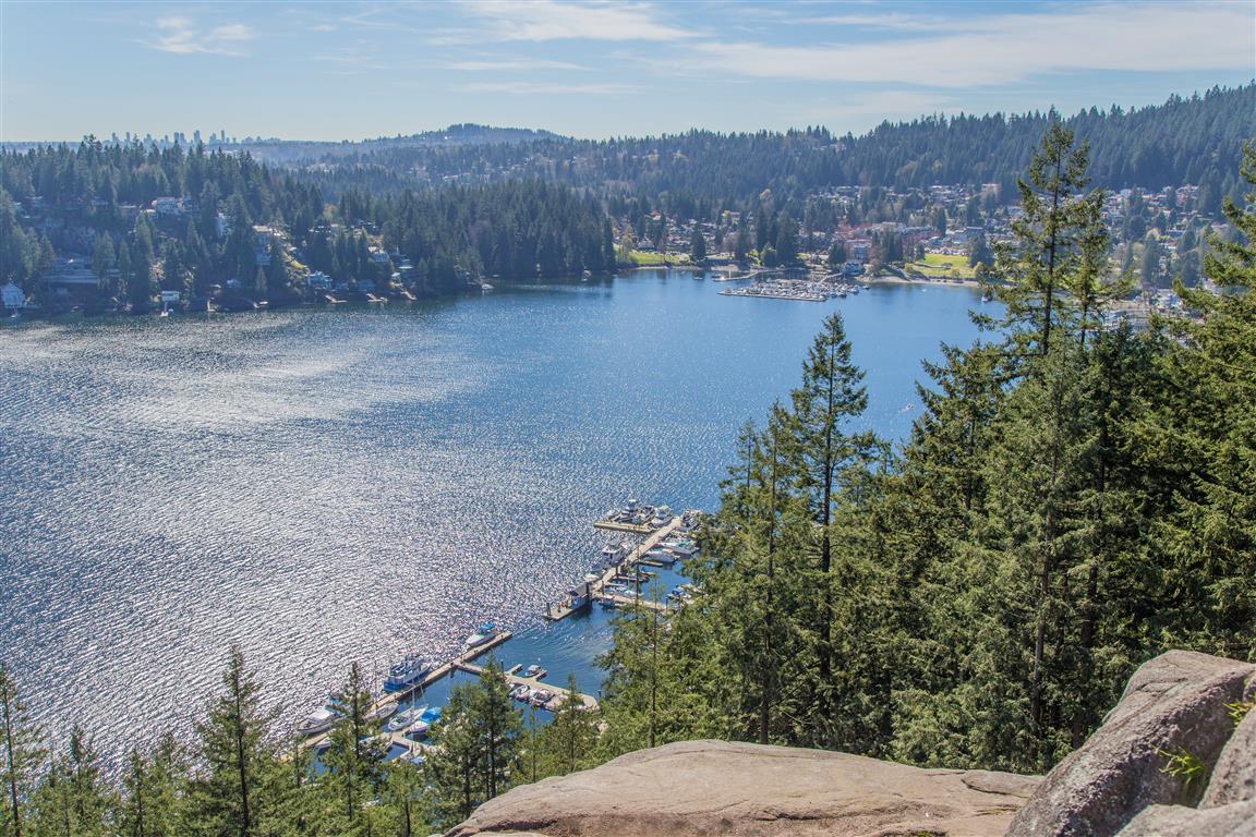
Here are some photos from the viewpoint…

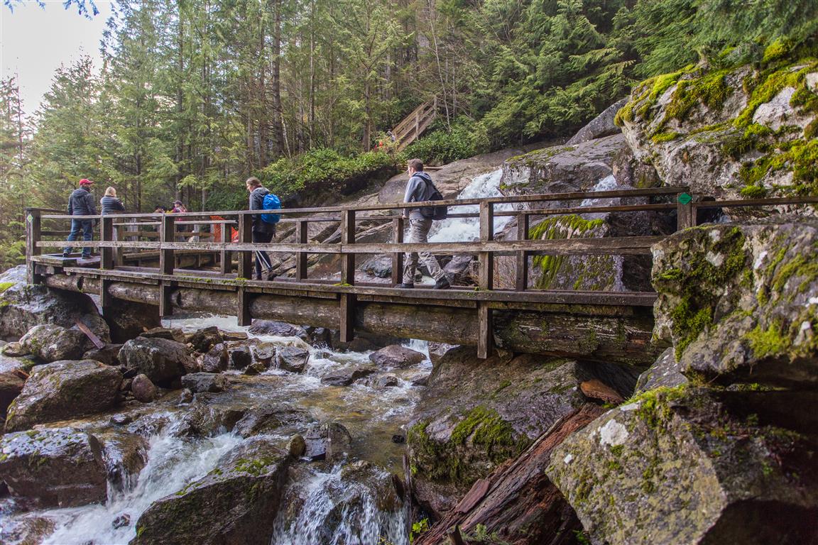
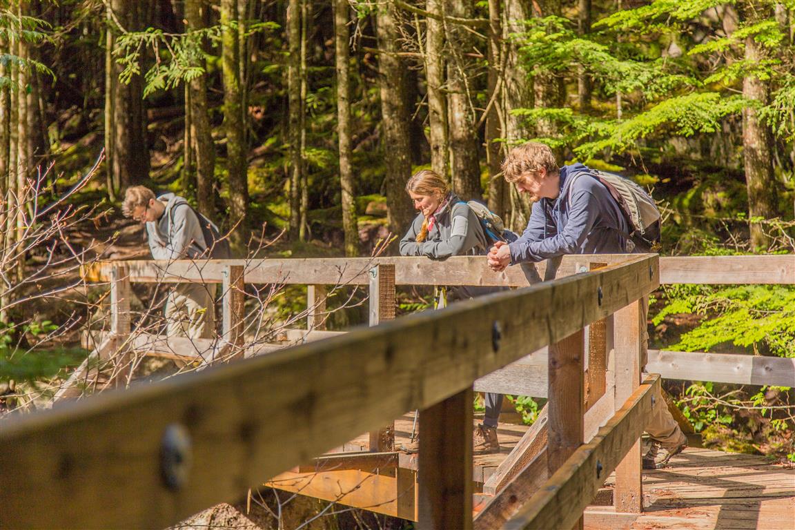
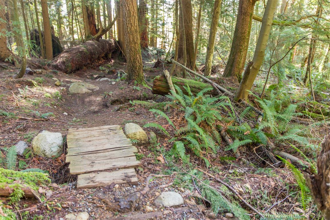
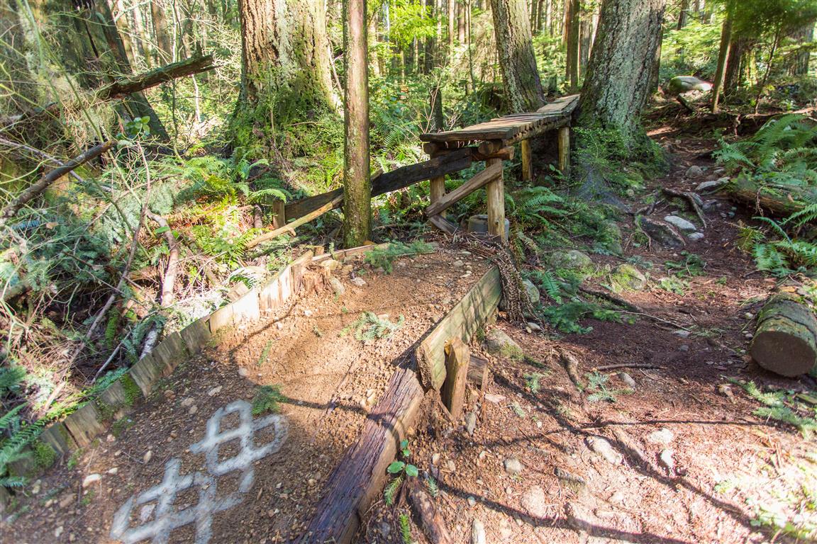
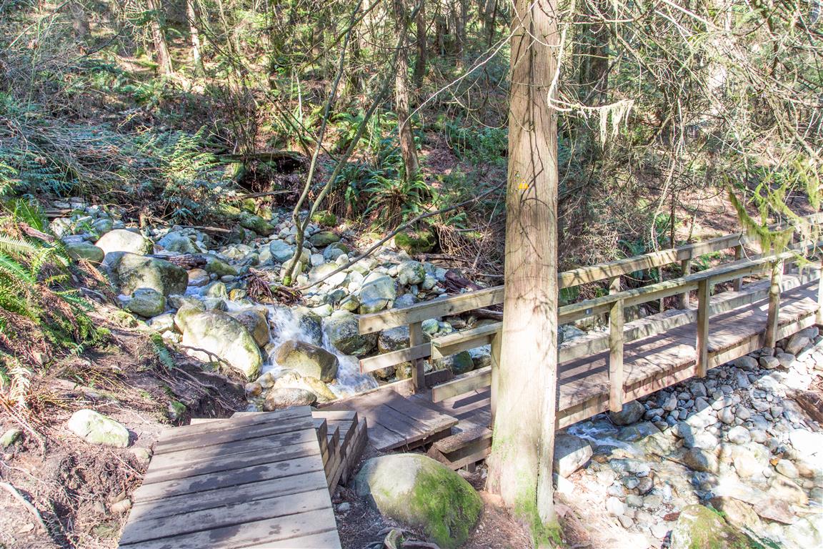
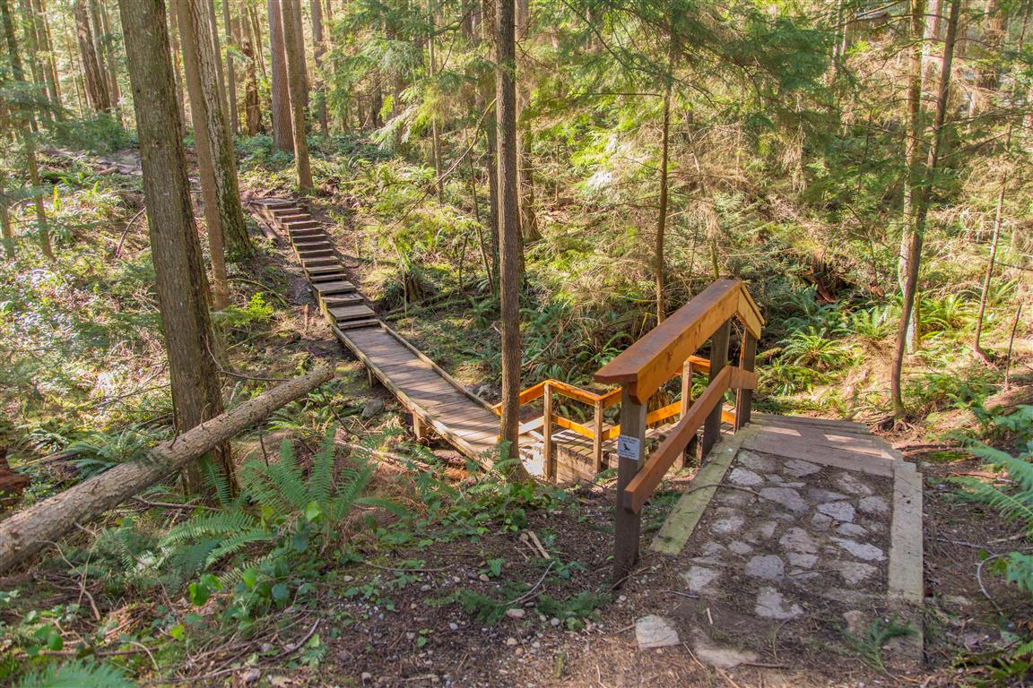
Bridge and Boardwalk…

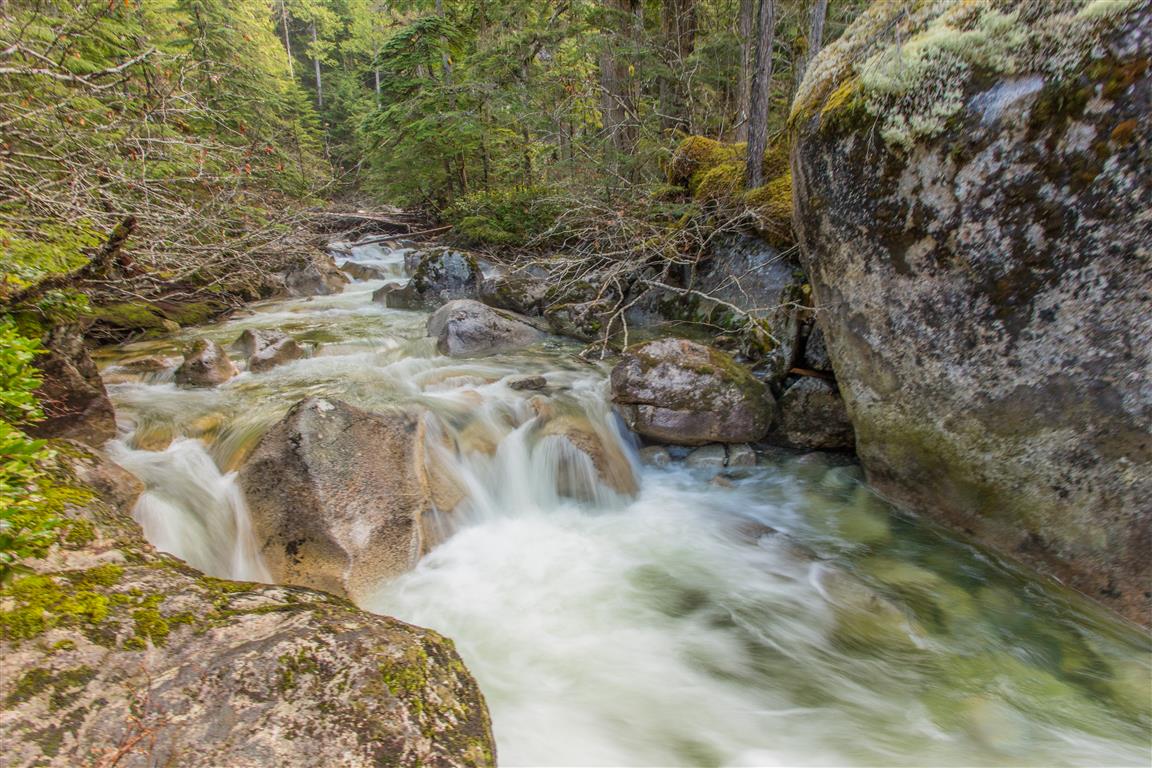
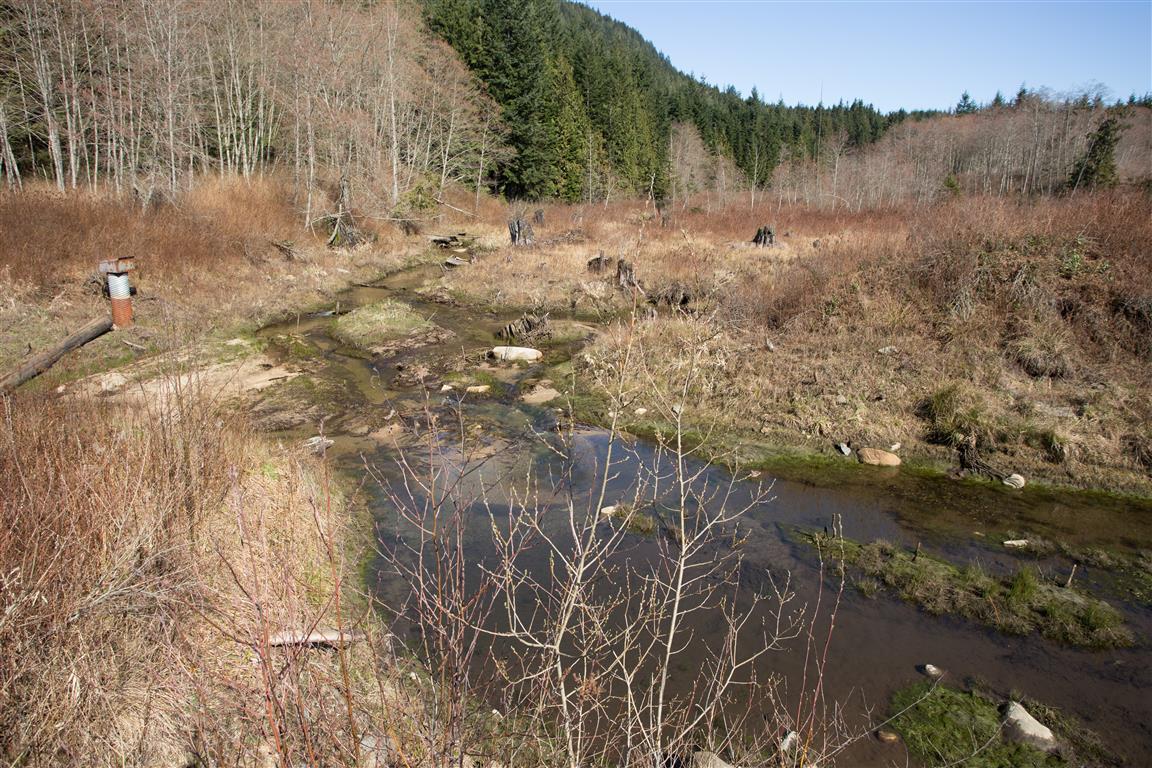
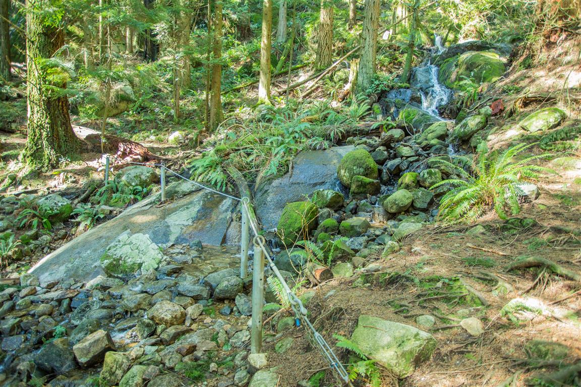
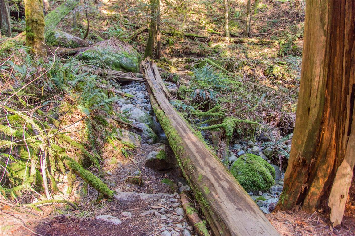
Bridge over creek…
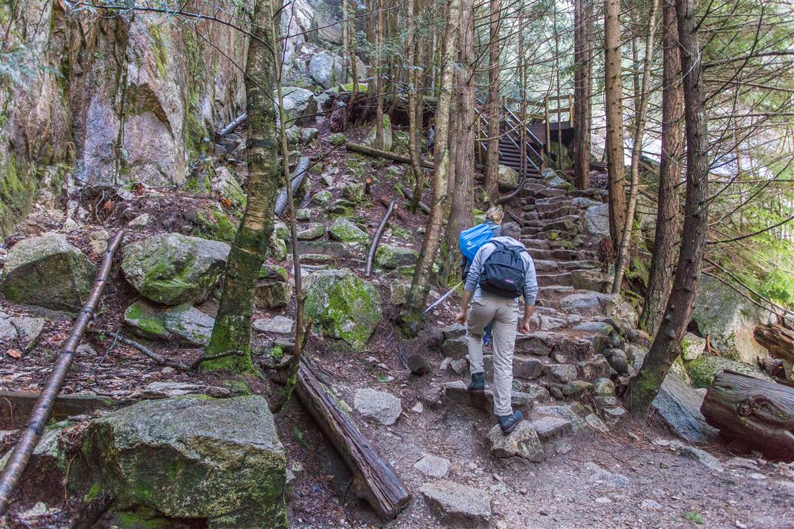
Stairs…
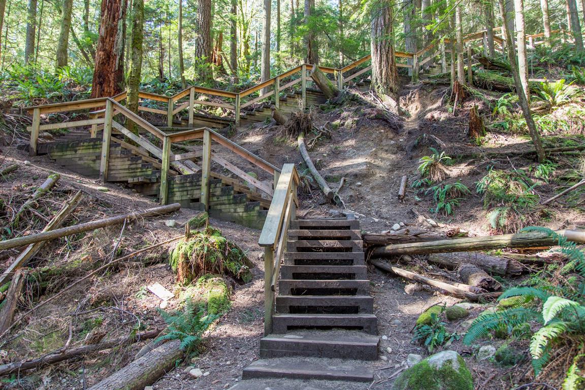
Steps on Trail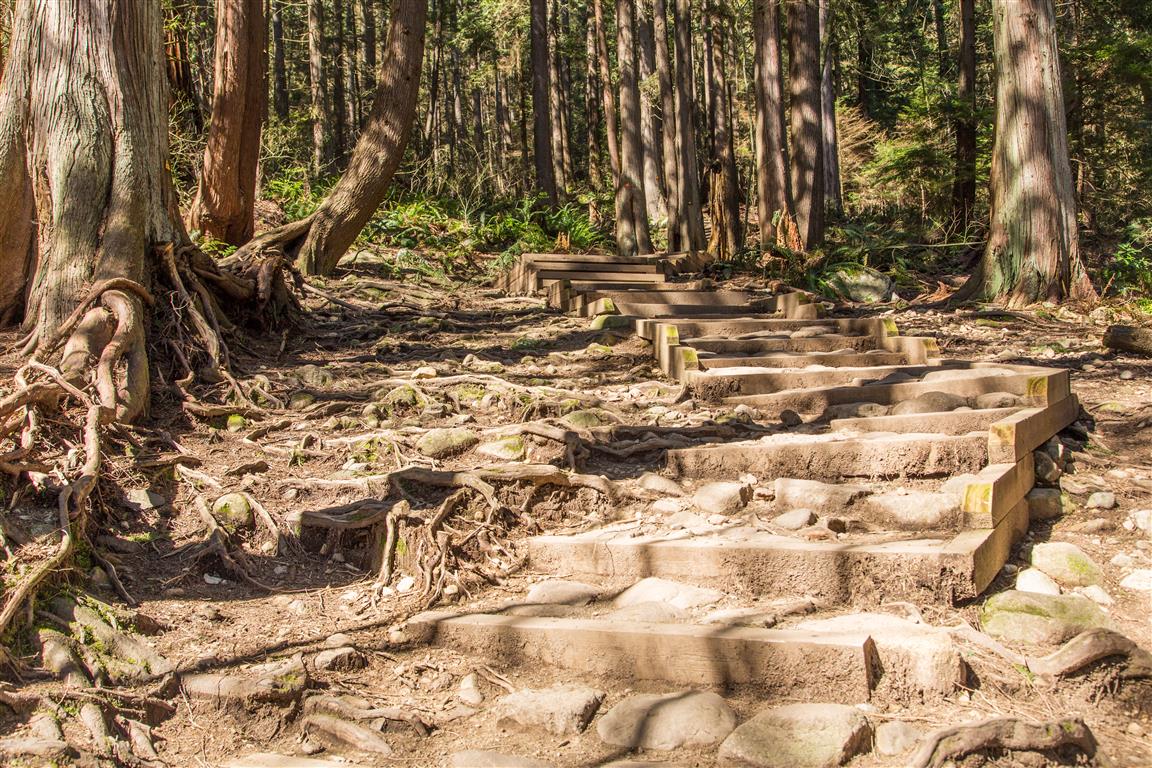
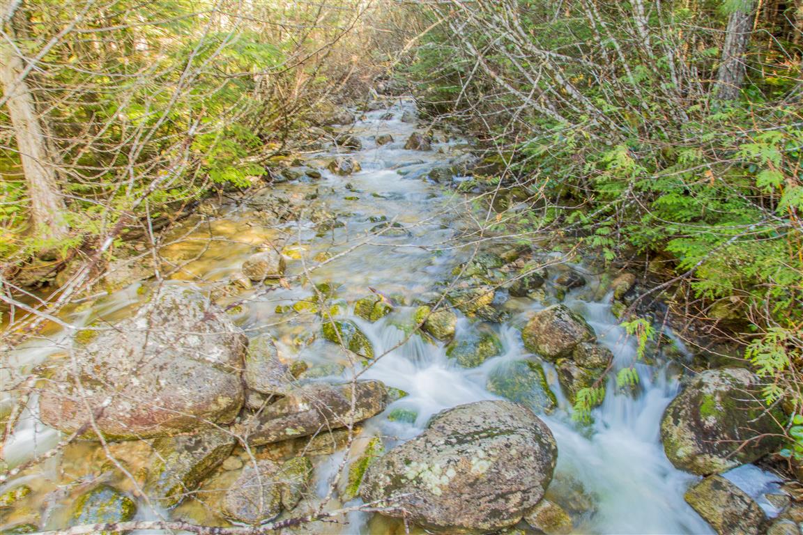
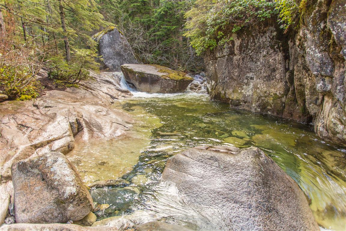
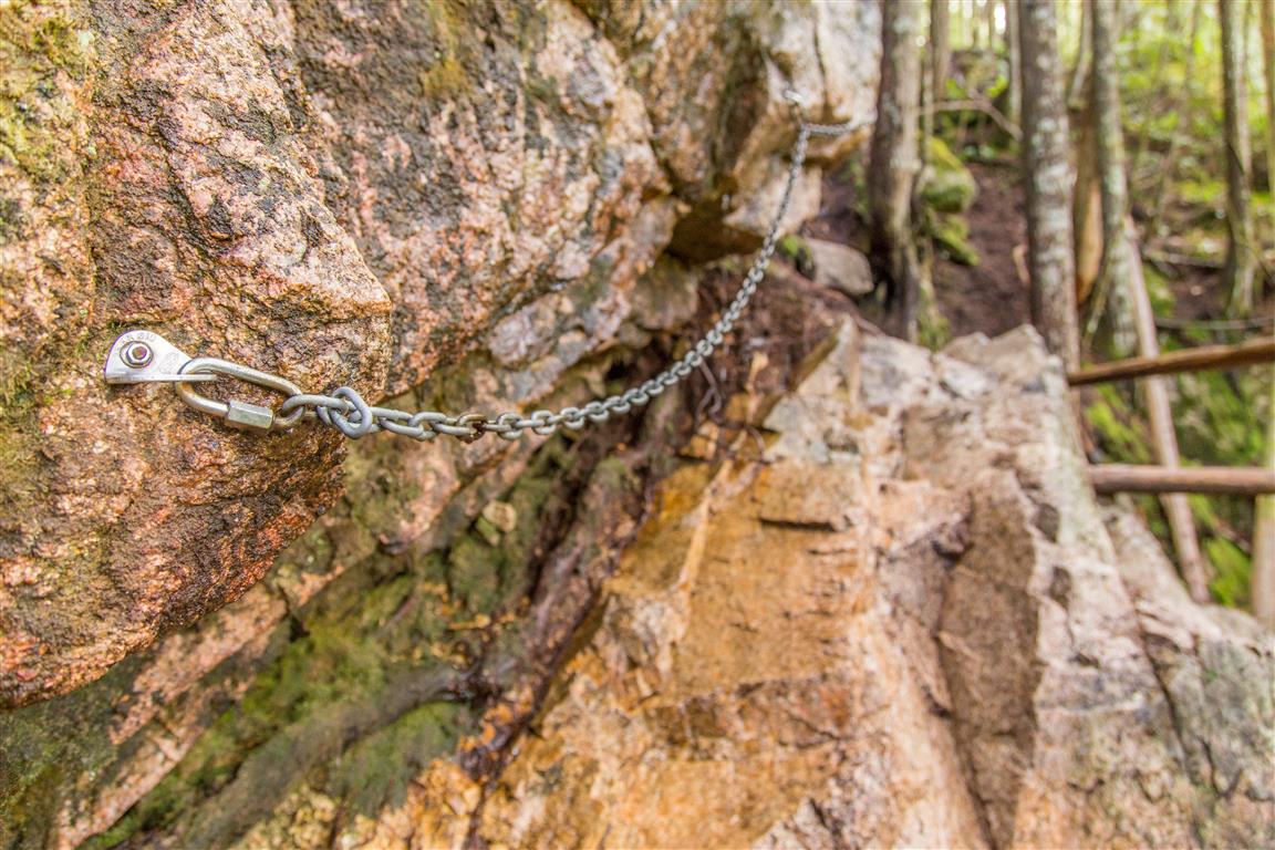
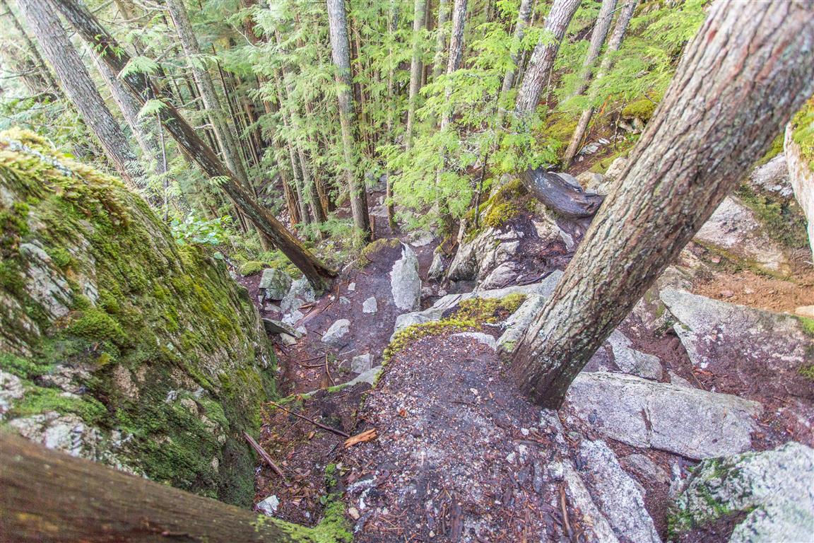
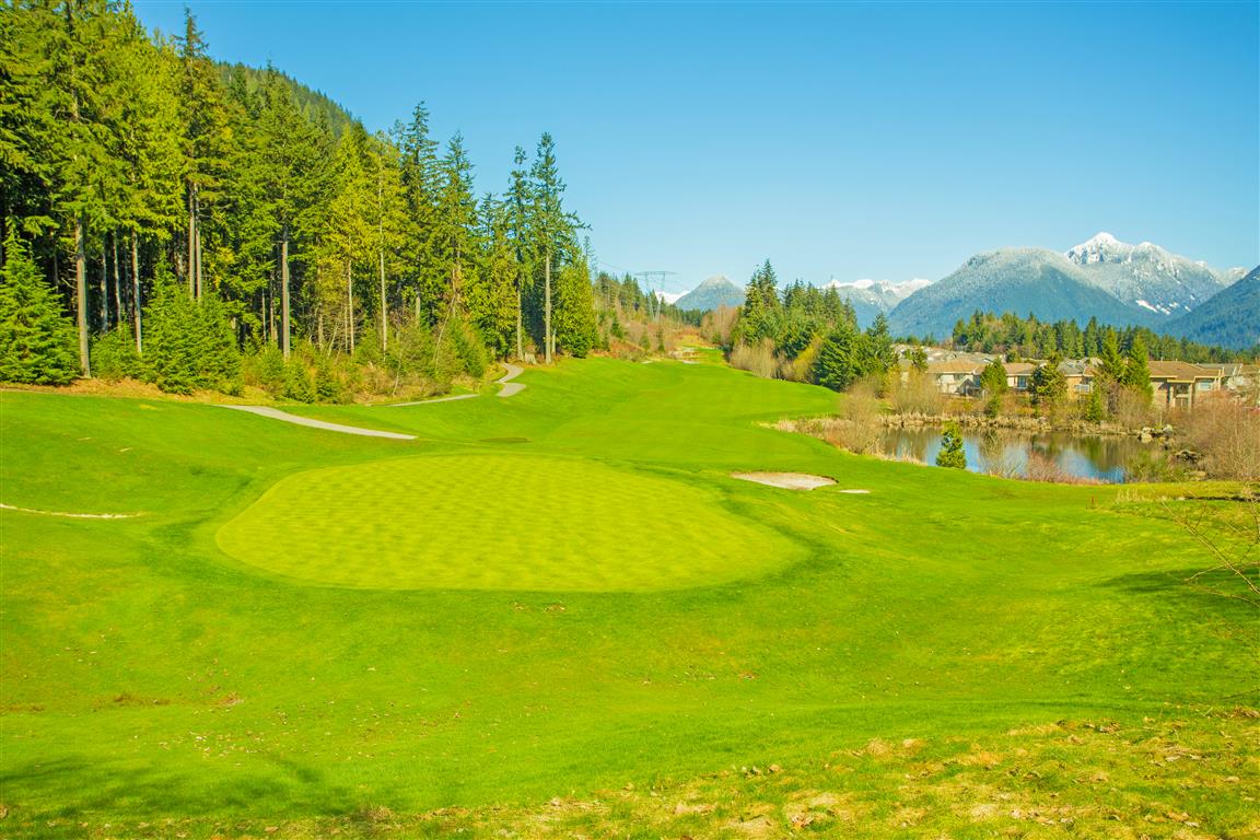
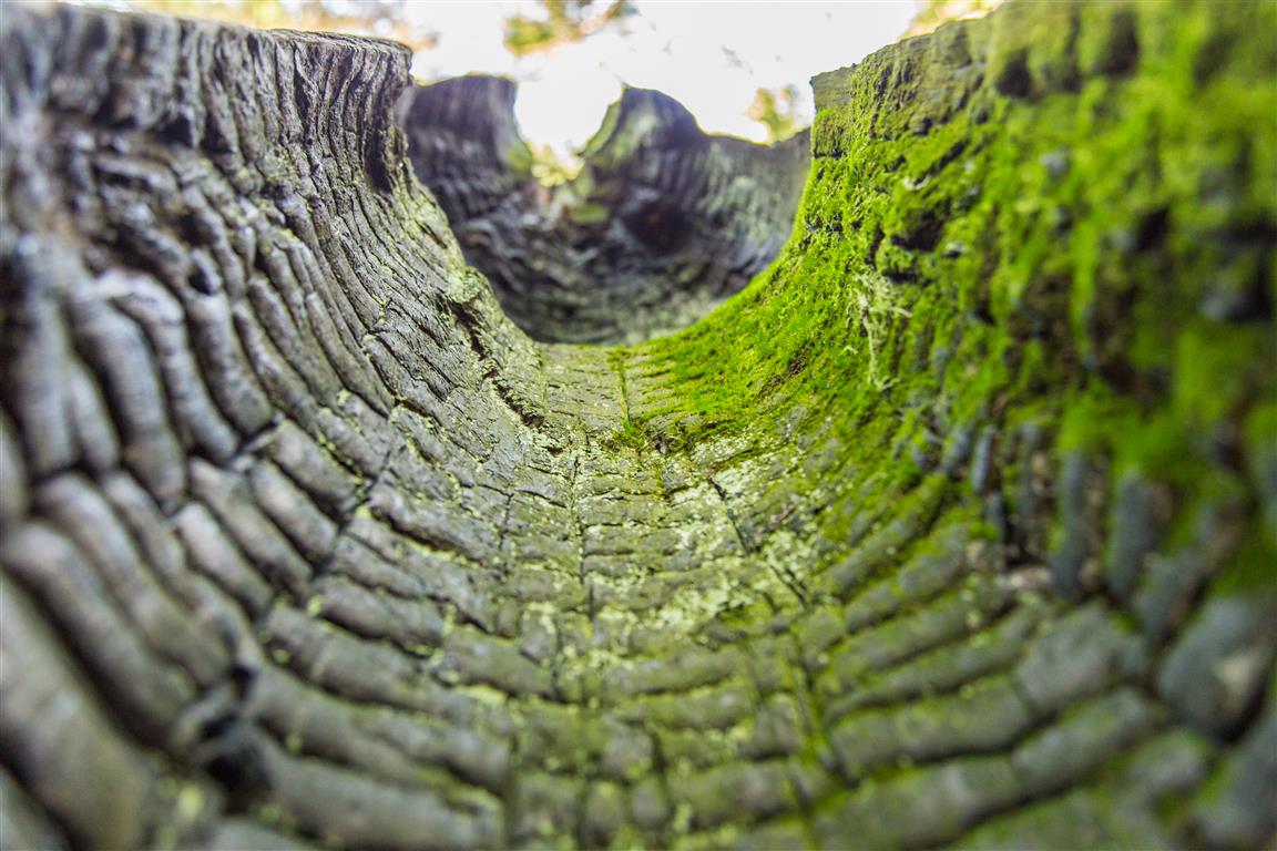
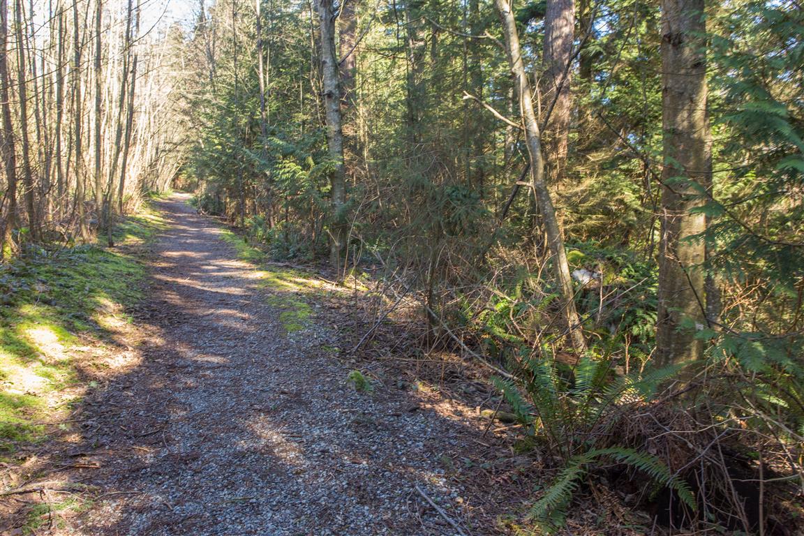
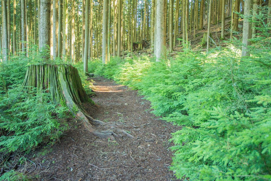
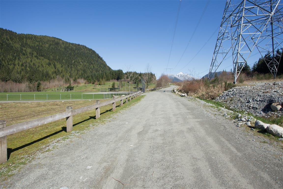
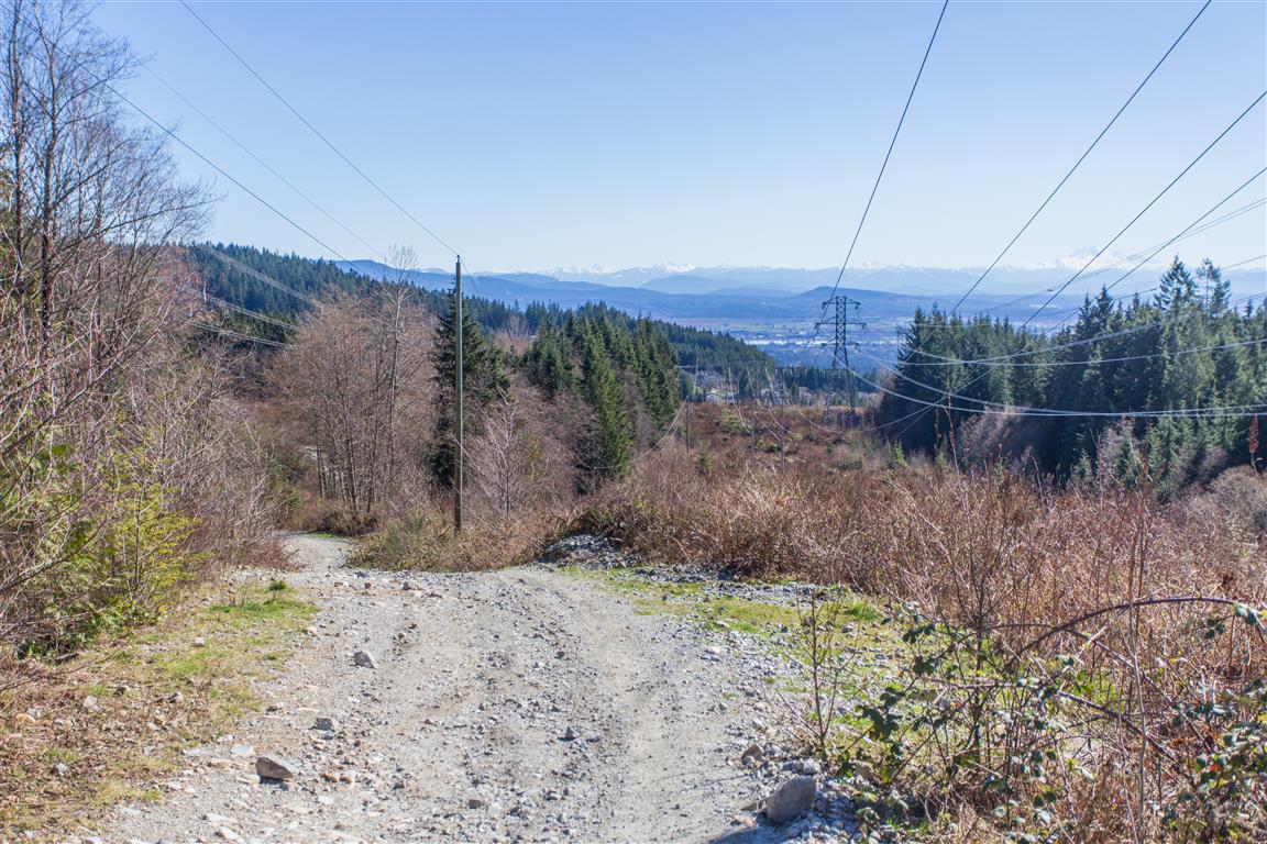
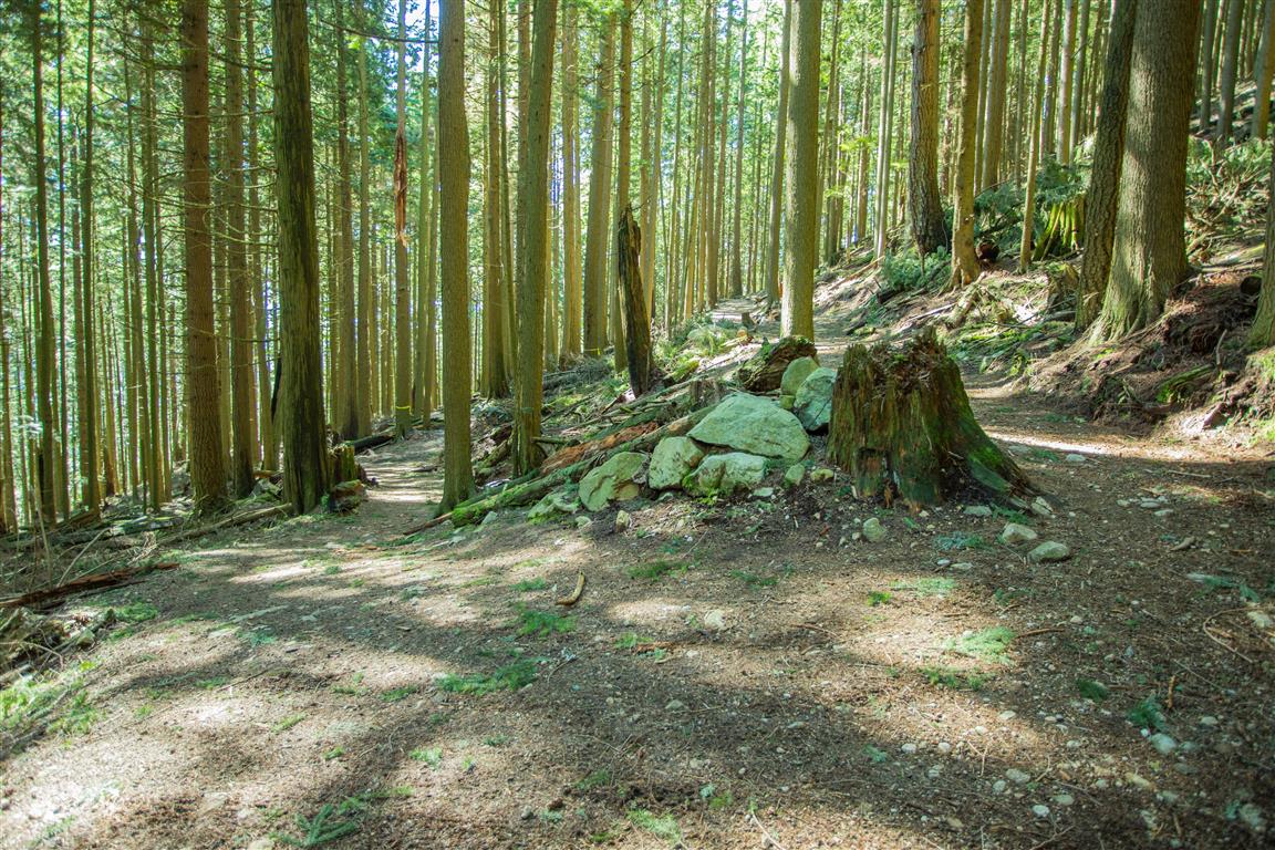
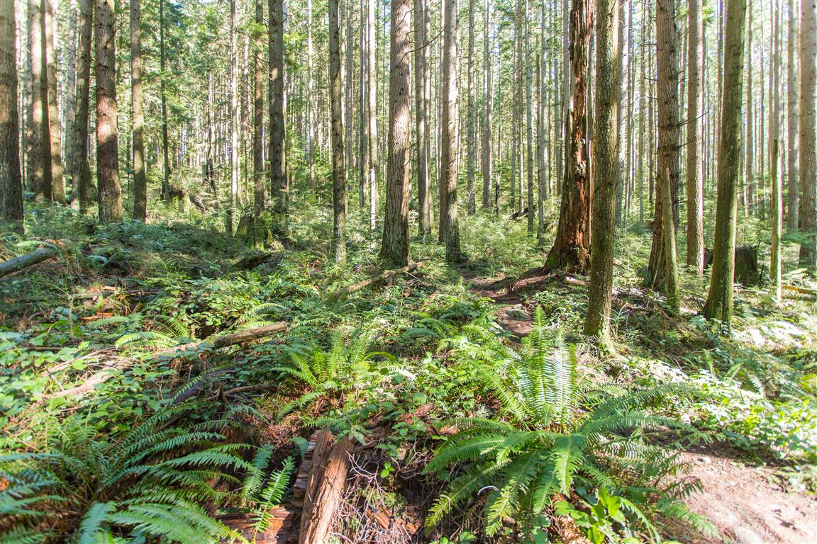
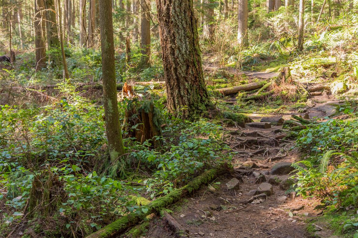
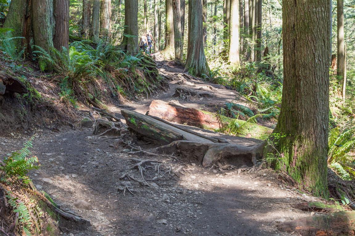
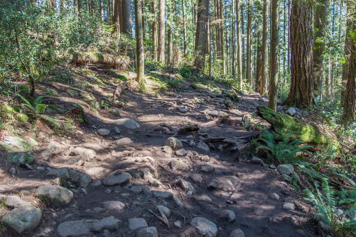
Trail pics…
★★★★★★★★★★★
Before heading out on your hike, make sure you are well prepared. This means, having the TEN ESSENTIALS. It is also important to leave a trip plan (route details and estimated return time) with someone you trust.
Bring your smartphone, fully charged and put it in airplane mode while hiking. I always bring back-up battery packs for extra piece of mind. It is highly recommended that you bring a GPS device; I use my smartphone with a GPS app (Backcountry Navigator). The GPS will work in airplane mode. Learn how to use it before your hike.
For anyone new to hiking, there is a rule to which hikers follow; it is called “Leave No Trace” or LNT. The concept is generally to pack out what you pack in and respect nature, so all future visitors can enjoy what you have enjoyed.
To learn more about LNT, please check out this BLOG by a certified LNT Trainer.