The Swan Falls Loop via Mount Beautiful is one of the most demanding hikes in the Buntzen Lake area. The historical loop climbs the Halvor Lunden Trail past Polytrichum Lookout and Lindsay Lake, continues across Eagle Ridge to Mount Beautiful, and then descends the steep Swan Falls Trail toward the north end of Buntzen Lake.
I completed this route in spring conditions, with patches of snow remaining around Tangled Summit and Mount Beautiful. It was a long day with substantial cumulative elevation gain, steep backcountry terrain, and a lengthy descent on the Swan Falls Trail.
I have also completed this route in winter conditions. See my Swan Falls Loop in the Snow post for that experience.
Powerhouse Road is currently closed to pedestrians between North Beach and Buntzen Dam. This means hikers descending the Swan Falls Trail to the north end cannot complete the old loop back toward South Beach using the route shown on this page. For a current Mount Beautiful hike, plan an out-and-back route via the Halvor Lunden Trail unless BC Hydro confirms that the northern connection has reopened.
Trail Stats
These statistics are based on my original GPS recording of the complete Swan Falls Loop.
- Distance: approximately 16.6 km
- Recorded elapsed time: approximately 10 hours, including breaks
- Low point: approximately 95 m
- High point: approximately 1,238 m
- Net elevation gain: approximately 1,140 m
- Cumulative elevation gain: approximately 1,400 m
- Difficulty: Difficult
- Route: Historical loop via Halvor Lunden Trail, Mount Beautiful, and Swan Falls Trail
- 📍 Trailhead and parking: Google Maps and navigation
The route involves a long day, more than 1,000 m of climbing, rugged backcountry terrain, steep descents, route-finding, and potentially snow well into the hiking season. You should be comfortable with long mountain hikes before attempting Mount Beautiful or the Swan Falls route.
Interesting Facts
- Halvor Lunden Trail: The main approach climbs steeply from Buntzen Lake to Eagle Ridge and provides access to Polytrichum Lookout, the lakes district, Lindsay Lake, Mount Beautiful, and the higher Dilly Dally ridge.
- Mount Beautiful: Mount Beautiful, also historically known as Eagle Peak, rises to about 1,260 m and provides panoramic views toward Coquitlam Lake, Indian Arm, Mount Baker, the Fraser Valley, and the surrounding Coast Mountains.
- Lindsay Lake: Lindsay Lake sits high on Eagle Ridge and forms part of a group of small mountain lakes and tarns sometimes referred to as the lakes district.
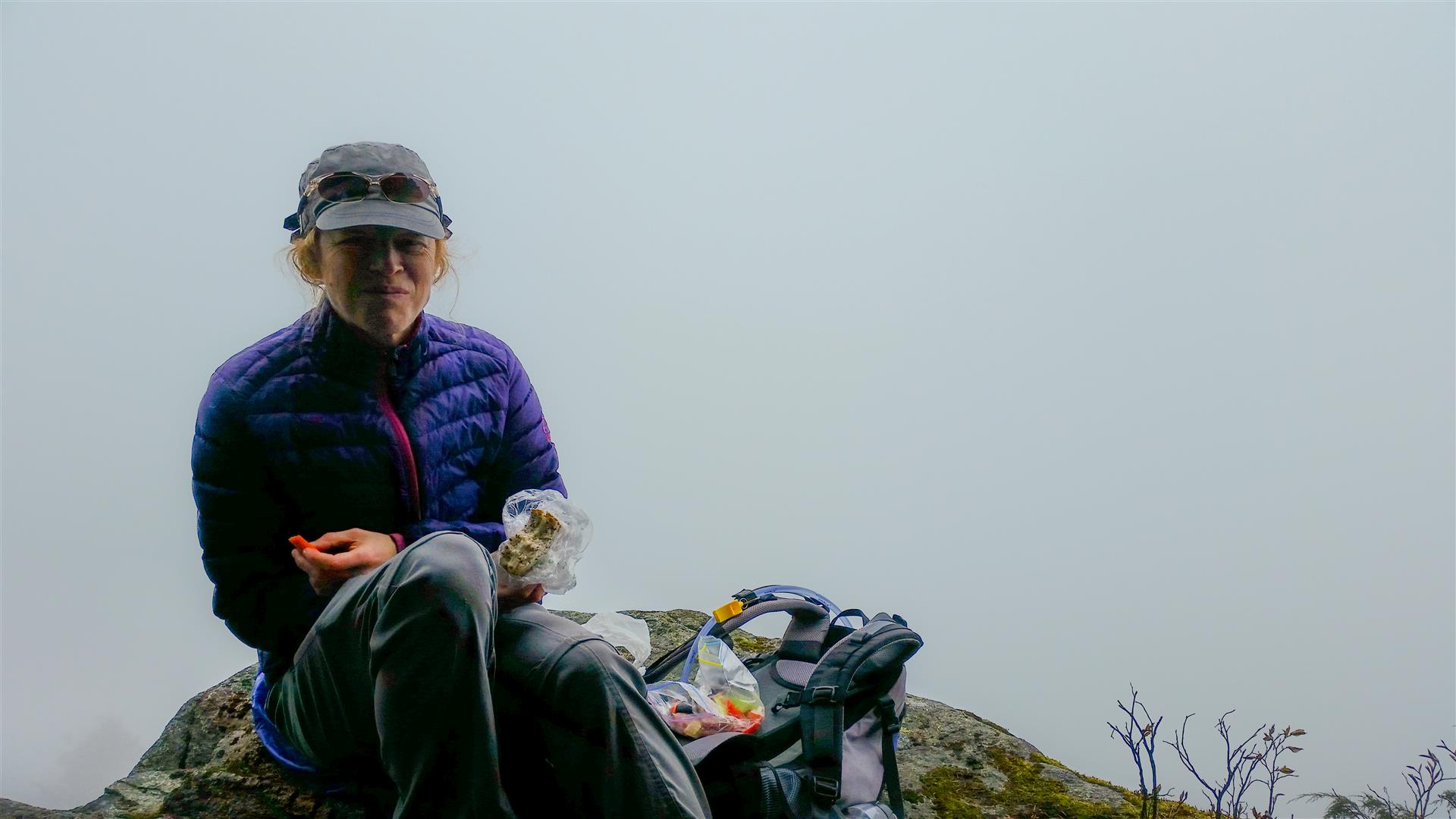
- The Pulpit: The Pulpit is a viewpoint reached by a short detour near the Lindsay Lake area. On my hike, cloud completely obscured the view.
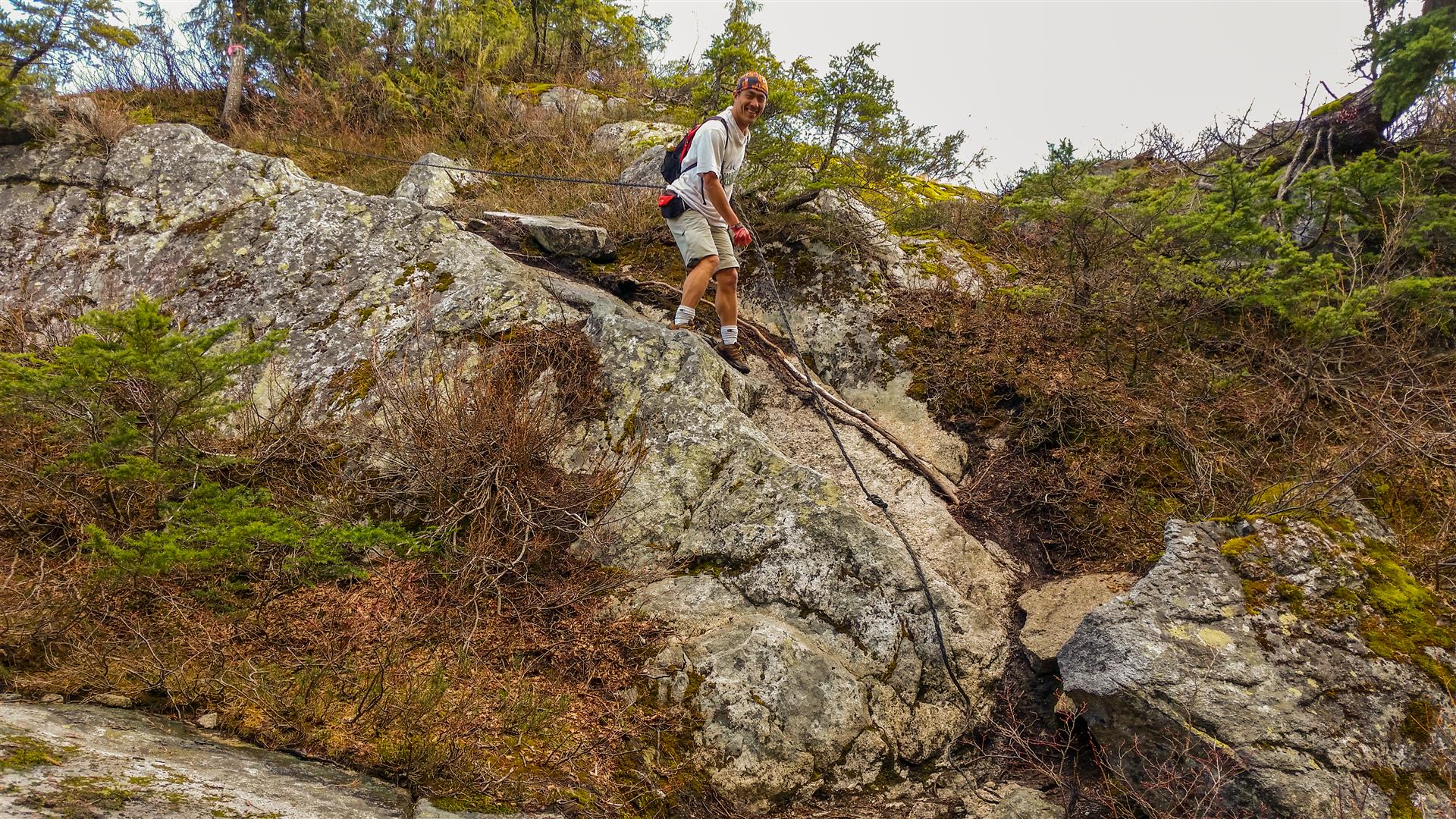
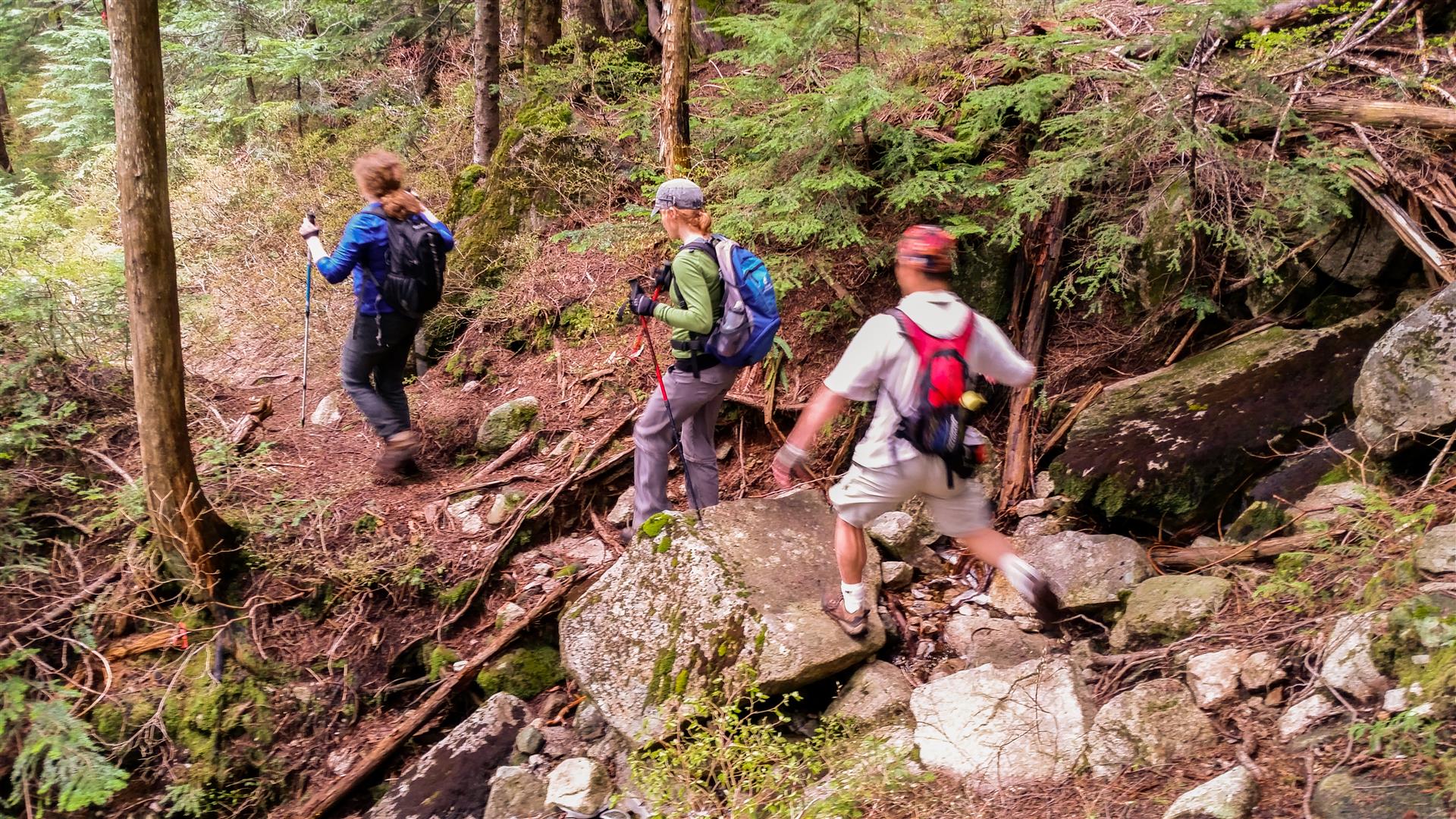
- Swan Falls Trail: The Swan Falls Trail drops very steeply from Eagle Ridge toward Buntzen Lake. The descent is considerably more rugged than the maintained trails around the lake.
- Biogeoclimatic zones: The route begins within the Coastal Western Hemlock biogeoclimatic zone and climbs into the cooler Mountain Hemlock zone at higher elevations on Eagle Ridge. This transition is reflected in the change from dense coastal forest to increasingly open, snow-prone subalpine terrain.
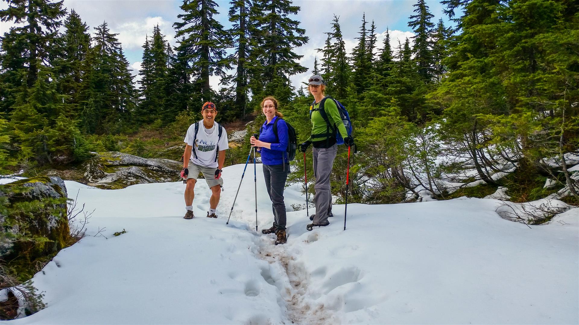
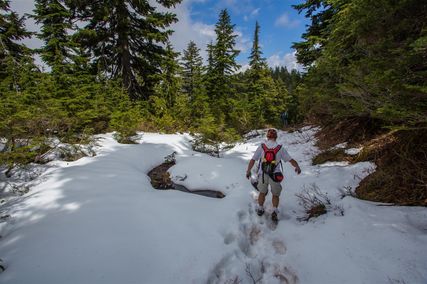
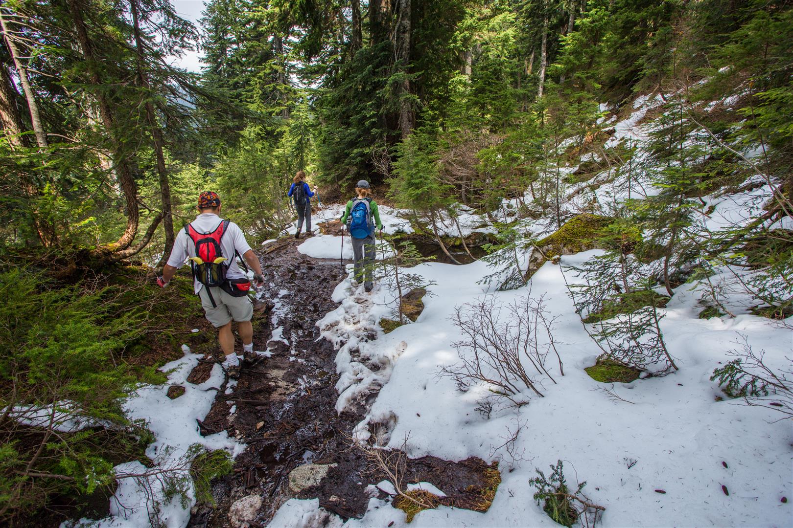
- Spring snow: Snow can remain around Lindsay Lake, Tangled Summit, and Mount Beautiful well into late spring or early summer.
The Route
The interactive map below shows my actual historical GPS route. It climbs the Halvor Lunden Trail, travels through the Lindsay Lake area to Mount Beautiful, and then descends the Swan Falls Trail toward the north end of Buntzen Lake.
Because Powerhouse Road is currently closed between North Beach and Buntzen Dam, the loop shown on this map cannot presently be completed as originally hiked.
Climbing the Halvor Lunden Trail
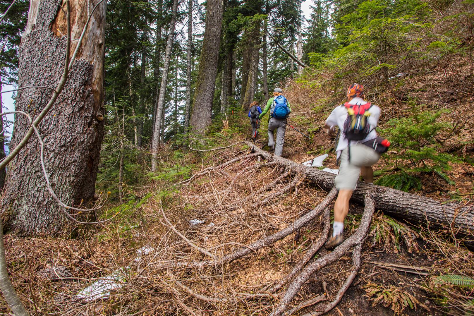
The route begins with the steep Halvor Lunden Trail from the Buntzen Lake parking area. We started around 8:30 a.m. and reached Polytrichum Lookout after roughly one hour.
From there, the trail continues into the higher lakes district. We reached Lindsay Lake just before the three-hour mark.
The Pulpit and Lindsay Lake Area
Near Lindsay Lake Junction, we made the short detour to The Pulpit viewpoint. Unfortunately, low cloud completely obscured the view during our visit.
Snow on Eagle Ridge
Snow remained in several sections of the upper route, particularly around Tangled Summit and the higher ridge. Conditions were manageable during my hike, but snow depth and firmness can vary considerably from year to year.
Mount Beautiful
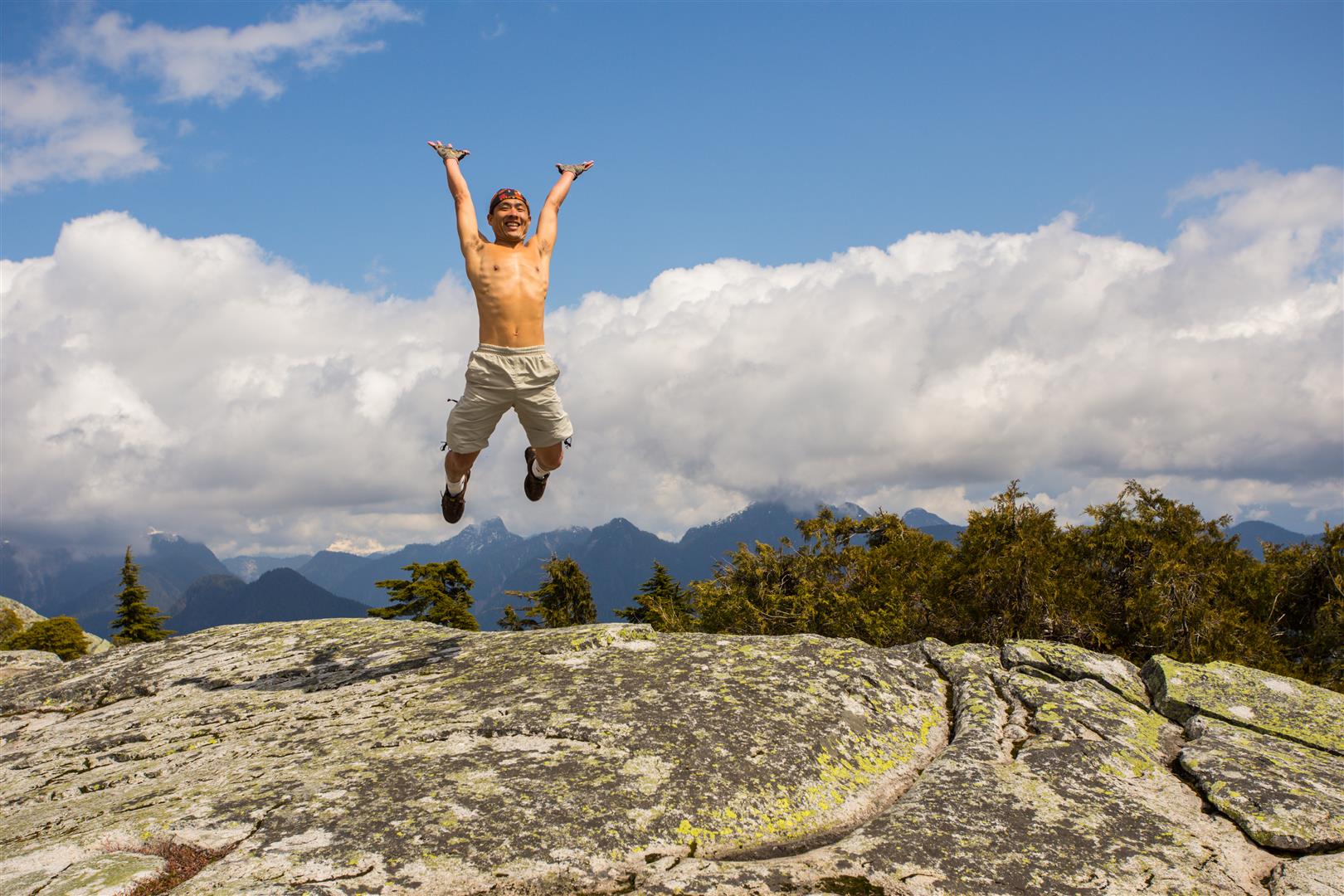
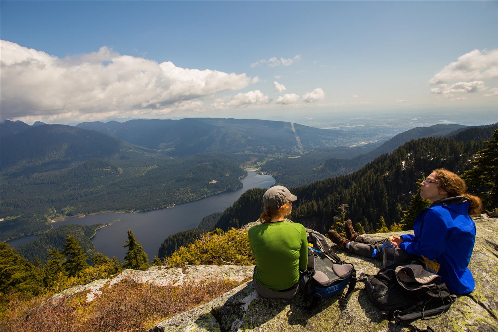
We reached Mount Beautiful around 1:30 p.m. and took a 30-minute break. The cloud finally began to clear and we were rewarded with excellent views of Coquitlam Lake and the mountains to the north and east.
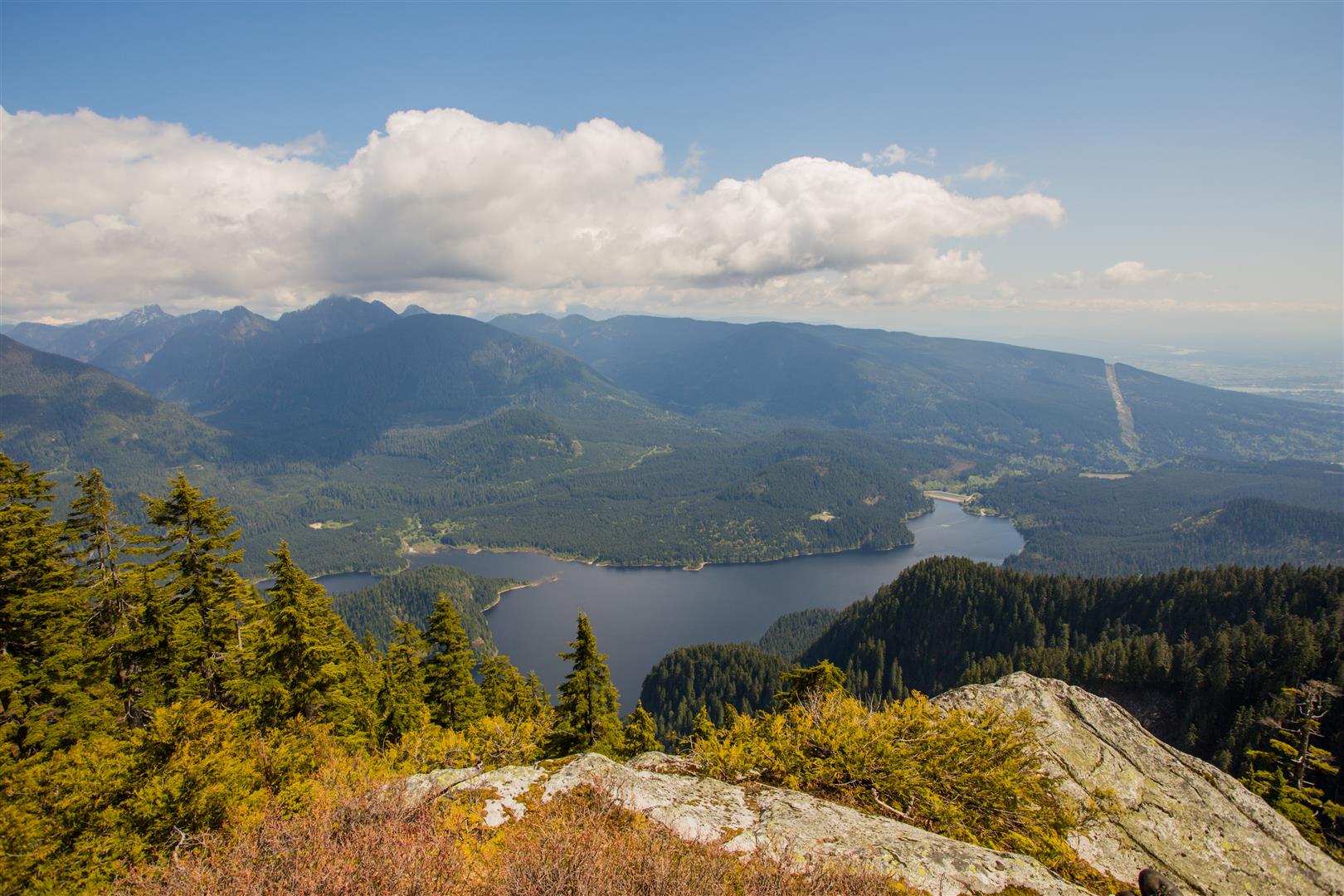
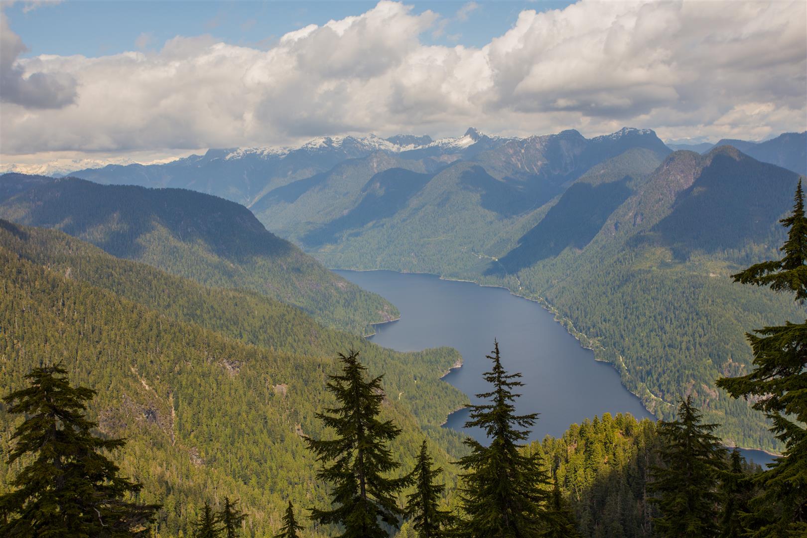
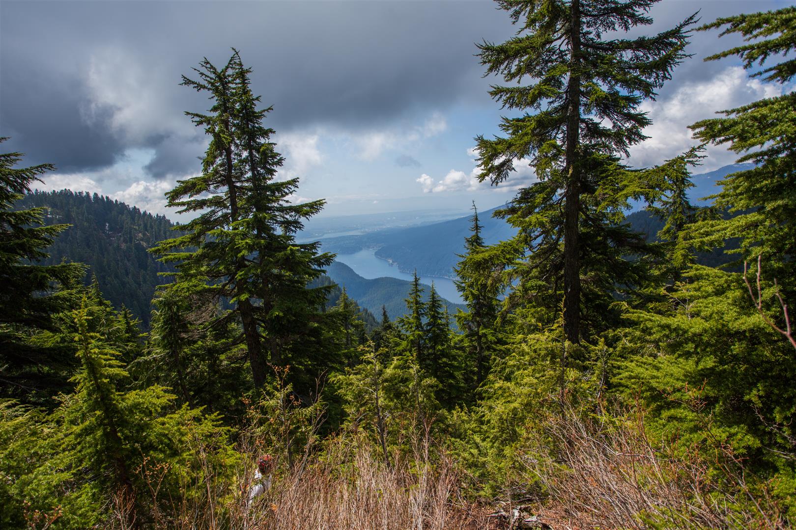
There is also a partial view toward Indian Arm on the approach to the summit.
Descending the Swan Falls Trail
From Mount Beautiful, the historical loop continued toward the Swan Falls and Dilly Dally junction before turning west and descending the Swan Falls Trail.
The descent is steep, rough, and slow. It took us about an hour to descend from the high ridge to Swan Falls, where we stopped for another break.
Under the current Powerhouse Road closure, I would not recommend descending Swan Falls as part of a loop. If you are hiking to Mount Beautiful today, the practical route is to return across Eagle Ridge and descend the Halvor Lunden Trail back to the parking area.
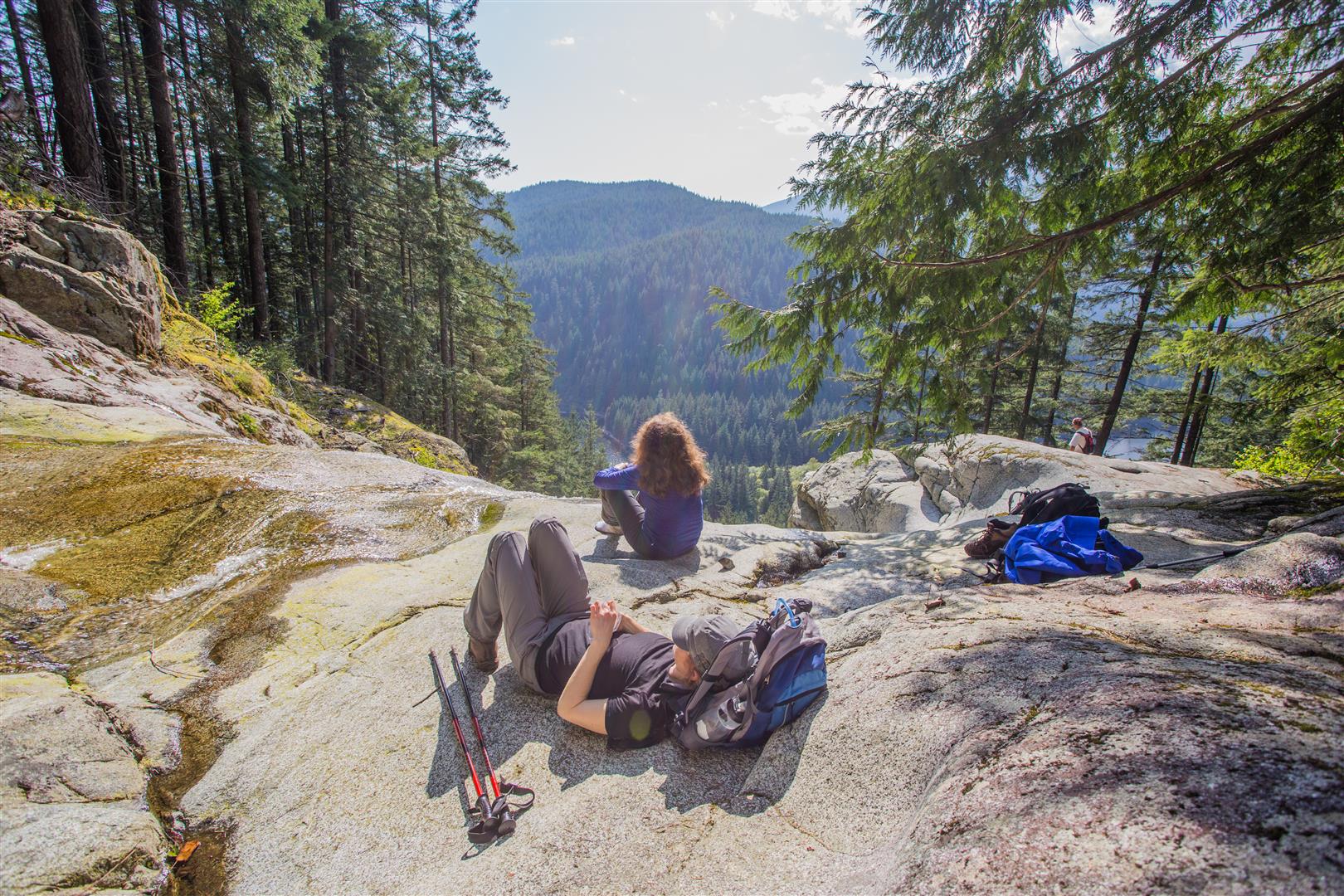
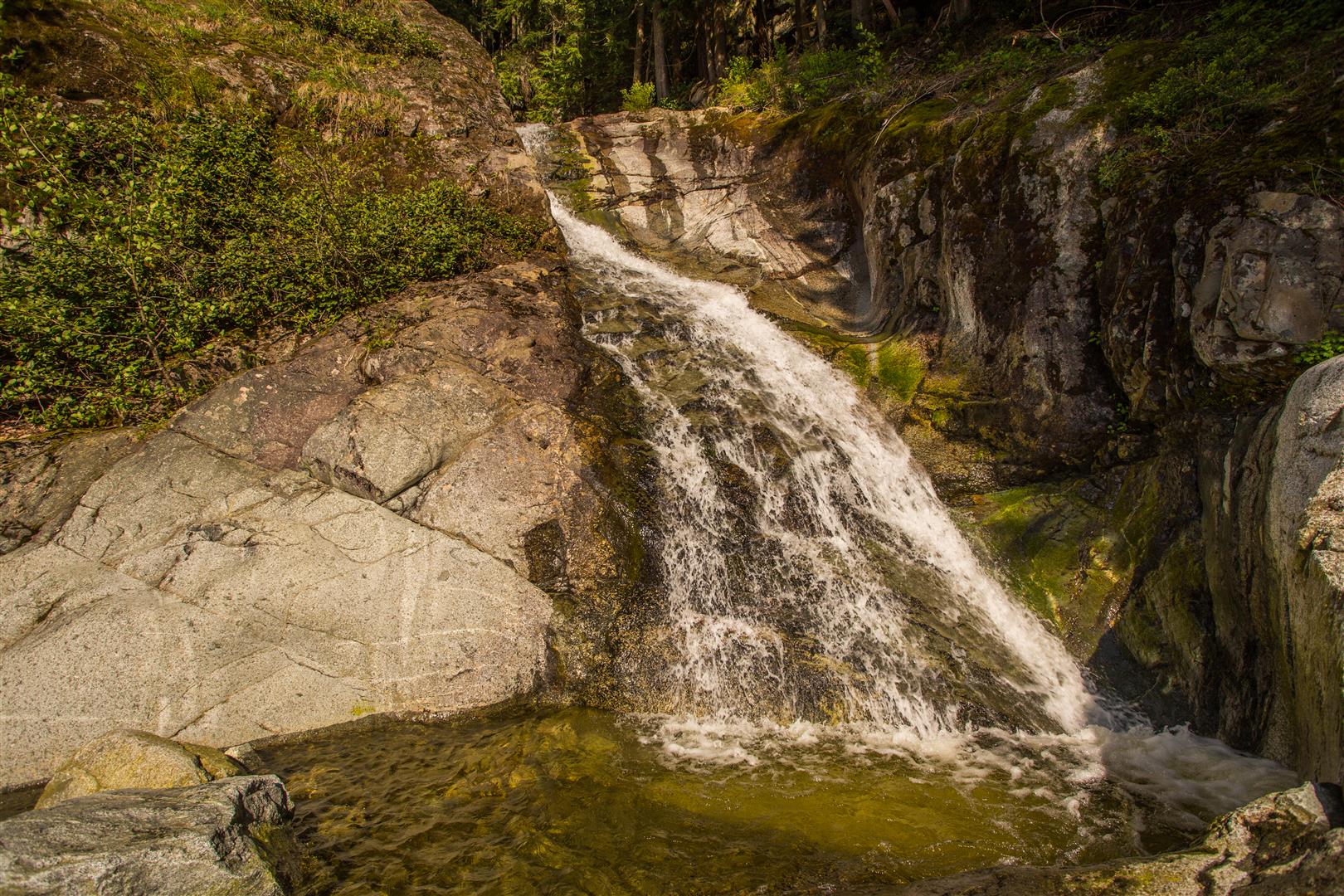
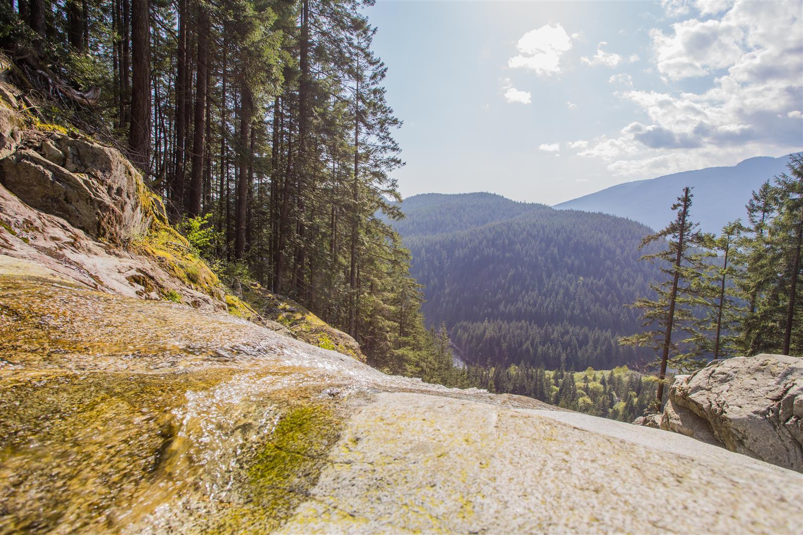
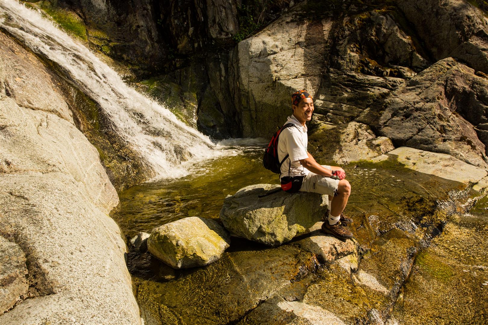
Swan Falls
Swan Falls made a welcome rest stop after the long descent. The open rock slabs beside the falls provided a pleasant place to sit in the sun before continuing toward the north end of Buntzen Lake.
What to Bring
This is a serious backcountry hike, so carry the Ten Essentials. Navigation, a headlamp, first-aid supplies, extra food, sufficient water, emergency shelter, and warm and waterproof clothing are particularly important.
Snow can linger at higher elevations well into the hiking season. Depending on conditions, traction equipment may also be required.
Download an offline map before starting, carry a fully charged phone and backup power, and leave your route and expected return time with someone you trust. Pay close attention to Buntzen Lake gate closing times.
Leave No Trace
Please follow Leave No Trace principles throughout the hike. Stay on established routes, pack out everything you bring in, avoid damaging vegetation, and keep wildlife at a distance.
The higher lakes and subalpine areas are particularly sensitive to trampling, so avoid creating shortcuts or new routes around wet or difficult trail sections.
Before You Go
Check current BC Hydro Buntzen Lake trail information before planning this route. Powerhouse Road is currently closed to pedestrians between North Beach and Buntzen Dam, which prevents the traditional Swan Falls Loop from being completed as shown on the historical GPS track.
Also check current gate hours, parking requirements, snow levels, and weather before leaving home.